The best road cycling routes around Bow
4.5
(15)
1,326
riders
91
rides
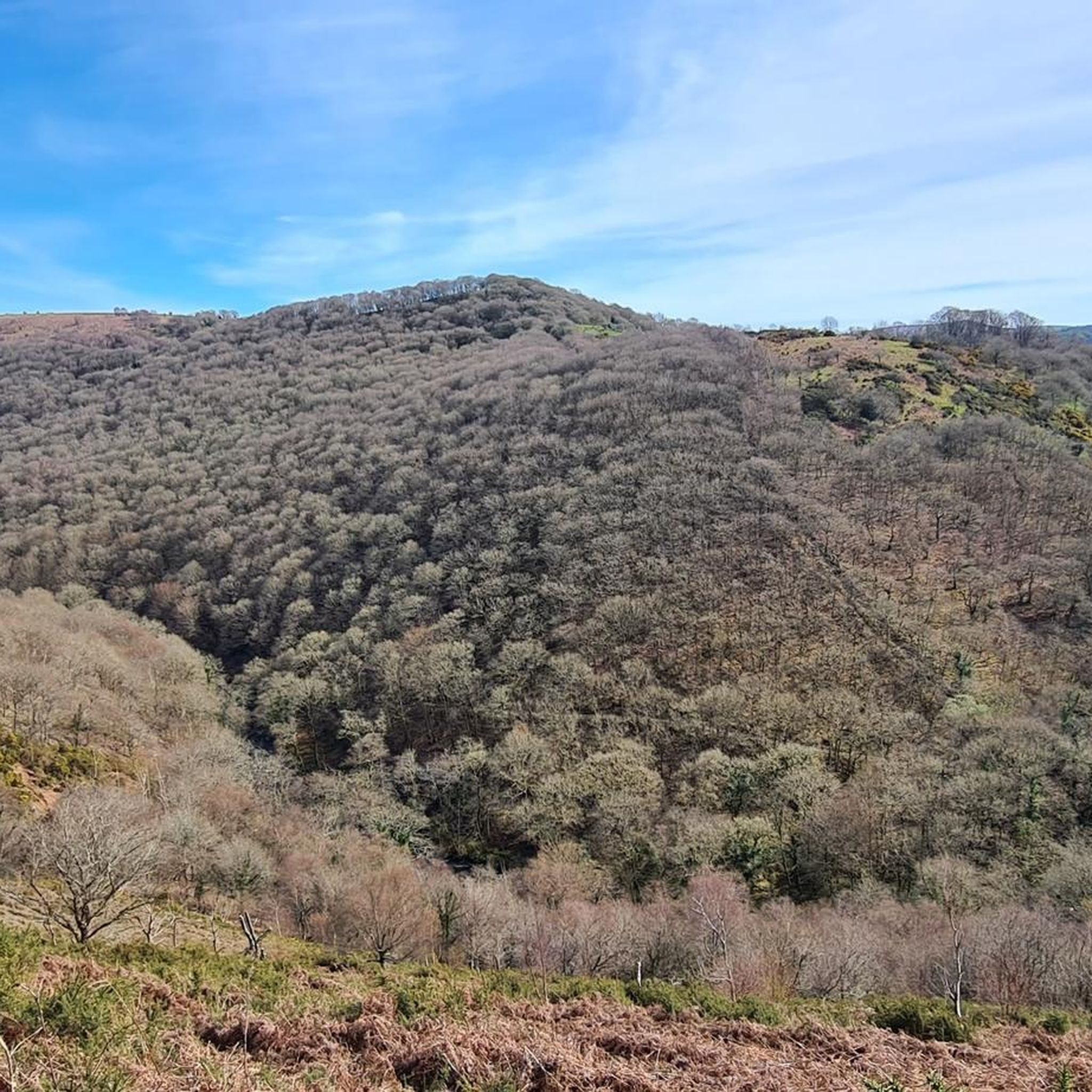
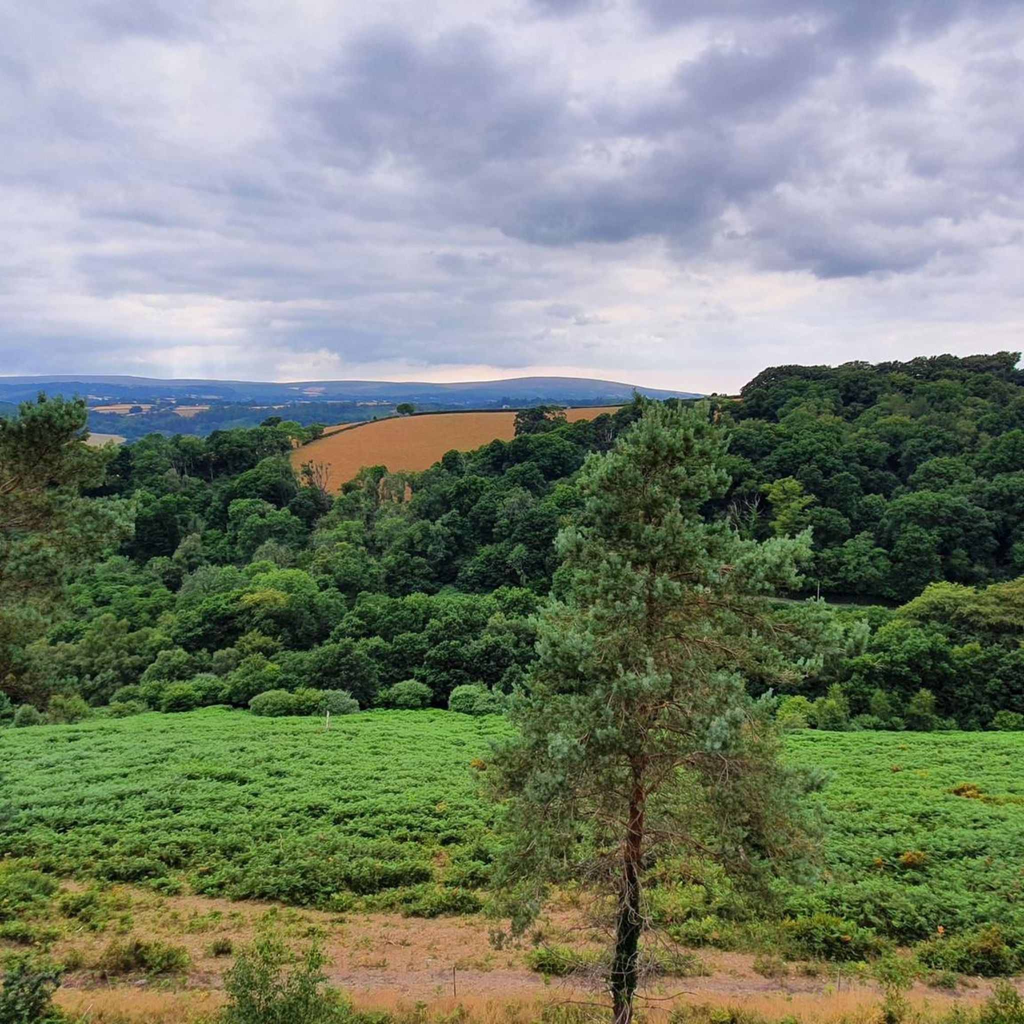
Road cycling routes around Bow traverse a landscape characterized by tranquil river valleys, expansive farmlands, and rolling hills. The region offers a mix of terrain, from flat, pastoral roads suitable for leisurely rides to more challenging ascents through forested areas. Road cyclists can expect routes that follow river courses, pass through rural communities, and feature varied elevation profiles.
Best road cycling routes around Bow
- The most popular road cycling route is River Taw – Barnstaple Long Bridge loop from Morchard…
Last updated: October 13, 2026
29
riders
94.0km
04:10
720m
720m
Moderate road ride. Good fitness required. Mostly well-paved surfaces and easy to ride.
5.0
(1)
26
riders
Moderate road ride. Good fitness required. Some segments of this route may be unpaved and difficult to ride.

10
riders
68.3km
03:14
730m
730m
Moderate road ride. Good fitness required. Mostly well-paved surfaces and easy to ride.
5.0
(1)
11
riders
34.2km
01:32
300m
300m
Moderate road ride. Good fitness required. Mostly well-paved surfaces and easy to ride.
9
riders
37.9km
01:38
250m
250m
Easy road ride. Great for any fitness level. Mostly well-paved surfaces and easy to ride.
Get access to more routes and recommendations from other explorers.
Already have an account?
Our route recommendations are based on thousands of hikes, rides, and runs completed by other people on komoot.
Start today with a free account
Your next adventure awaits.
Tips from the Community

Super well-developed cycle path along the River Exe.
0
0


There's a few disabled parking spaces right on the Quay and the walks are all wheelchair user friendly, there's bus routes and train station all within a mile of the quay. If like me on your walk you like to re-stall your batteries and have a hot or cold drink there's lots of great pubs restaurants and little cafes on the Quay and they all welcome dogs, if you check out what's on in Exeter you might be lucky to see one of the many events they hold like morse dancing, the boat racing, mental health walk, the food festivals and many more, enjoy the ruins and history walks also.
0
0

Car park and numerous food outlets alongside the river perfect to spend a time to relax
1
0

Exeter Quay, also known as Exeter Quayside, is a district of Exeter on the River Exe and the Exeter Ship Canal. It was used as a port since prehistoric times, when a sandstone outcrop was used to unload the ships of overseas traders.[1] However, in 1381, the Countess Weir closed the river to shipping. In 1566, a canal was completed to allow ships access. Over time, the number of ships using the quay increased, and so the quay was extended in the late 17th century. Further extension took place in 1830 when a new canal basin was dug. However, in 1840, the railway reached Exeter, and shipping began to decline. The quay is no longer used for shipping, but mainly for recreational purposes.
2
0
lots to do along the Quay, saw ducks, swans great places to eat and drink, there are many different routes you can stay on a path or walk through mud path. wheelchair friendly the Quay got lots of history and gift shops
6
0

This cycleway travels along the Exeter Flood Relief Channel, which is a man-made waterway designed to help manage flood risks for the city of Exeter.
1
0

Brilliant stretch of canal path that leads out to Dawlish, the surface is great in most areas and any bike should be able to get around this path. However if you have a accessibility trike there are some narrow sections and bridge that might make this path very difficult to use.
0
0
Frequently Asked Questions
How many road cycling routes are available around Bow?
There are over 100 road cycling routes around Bow, offering a wide variety of experiences for cyclists. The komoot community has explored more than 1300 of these routes.
What is the general difficulty level of road cycling routes in Bow?
Bow offers a diverse range of road cycling routes. You'll find 11 easy routes perfect for a relaxed ride, 72 moderate routes that provide a good challenge, and 22 difficult routes for experienced cyclists seeking significant climbs and longer distances.
Are there any circular road cycling routes in Bow?
Yes, many routes around Bow are designed as loops. For example, the River Taw – Barnstaple Long Bridge loop from Morchard Road is a popular moderate route that takes you along the River Taw. Another great option is the River Okement – Sticklepath Store & Tea Room loop from Bow, which explores the River Okement valley.
What kind of landscapes can I expect to see while road cycling around Bow?
Road cycling around Bow offers incredibly diverse landscapes. You can ride through tranquil Skagit Valley farmlands with the Cascade Mountains as a backdrop, experience the stunning coastal views along Chuckanut Drive where the mountains meet the Salish Sea, or tackle challenging climbs through the forested hills around Blanchard State Forest and Lake Samish.
When is the best time of year to go road cycling in Bow?
The spring and fall generally offer the most pleasant conditions for road cycling in Bow, with milder temperatures and beautiful scenery. Summer is also excellent, though some routes might be busier. While winter cycling is possible, be prepared for cooler, potentially wetter weather, especially on exposed coastal sections or higher elevations.
Are there easy road cycling routes suitable for beginners in Bow?
Absolutely. Bow has 11 easy road cycling routes perfect for beginners or those looking for a relaxed ride. An example is The Tarka Line Grill – Eggesford Forest loop from Bow, which offers a gentle ride through pleasant scenery.
Where can I find challenging road cycling routes with significant climbs?
For challenging rides with significant elevation gains, consider routes that venture into the Chuckanut Mountains along Chuckanut Drive (State Route 11) or the roads surrounding Blanchard State Forest. These areas offer sustained climbs and rewarding views of the Salish Sea and San Juan Islands.
Are there road cycling routes that offer scenic viewpoints?
Many routes in Bow boast incredible scenic viewpoints. Chuckanut Drive is renowned for its panoramic vistas of Chuckanut and Samish Bays, the San Juan Islands, and the Olympic Mountains. The Padilla Bay Shore Trail also provides expansive water views. For inland views, routes around Blanchard State Forest offer rewarding perspectives after climbs.
Can I find road cycling routes with cafe stops or places to refresh?
Yes, the charming town of Edison, often considered part of the 'Bow-Edison' area, is a popular stop for cyclists. It features unique shops, art galleries, and farm-to-table dining establishments perfect for a refreshment break. Routes like the River Okement – Sticklepath Store & Tea Room loop from Bow specifically mention a tea room, indicating opportunities for stops.
What are some notable attractions or landmarks I can visit along road cycling routes in Bow?
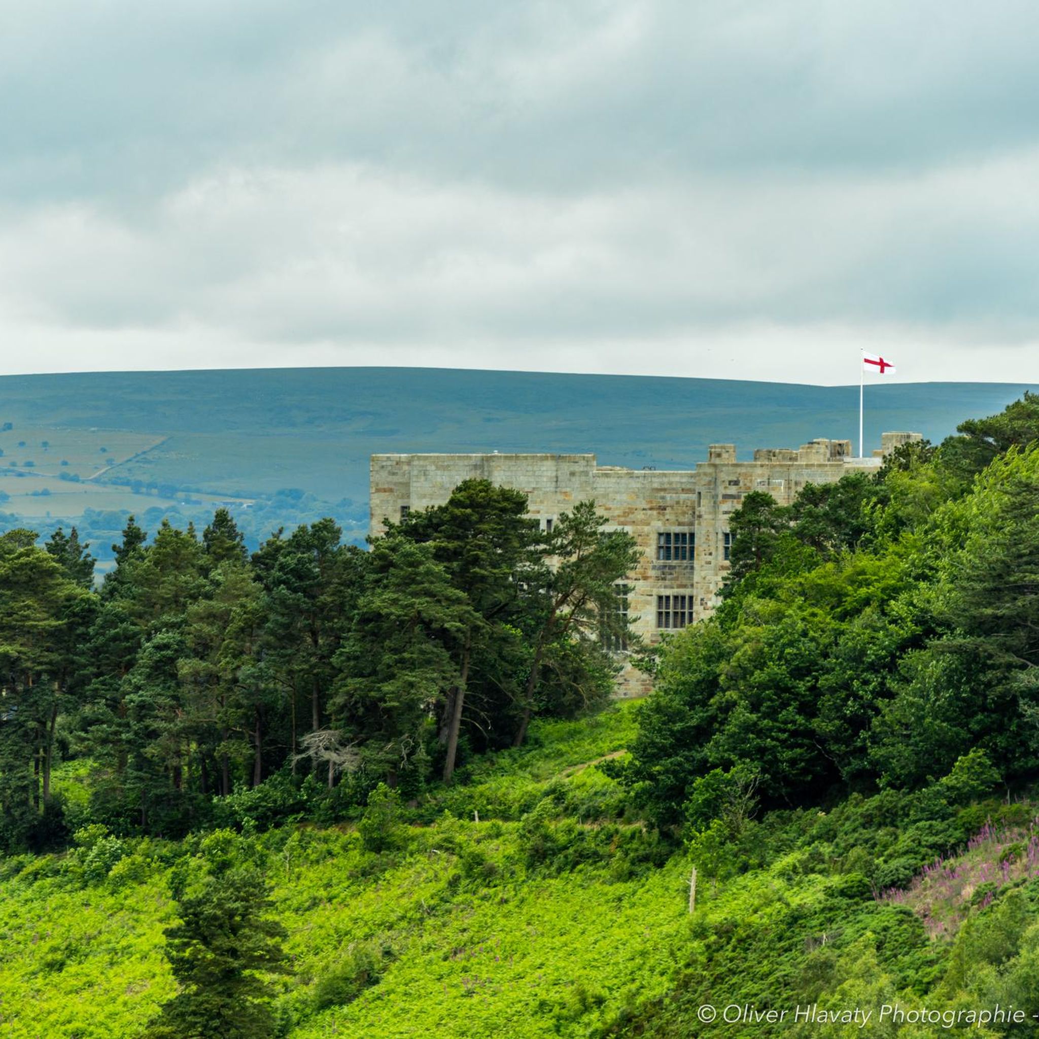
While cycling around Bow, you can discover several interesting attractions. Consider routes that pass near historical sites like Castle Drogo, or natural viewpoints such as Fingle Bridge, Hunter’s Tor, and Sharp Tor (Teign Gorge). The Fisherman’s Path along the River Teign also offers scenic views.
What do other road cyclists say about the routes in Bow?
The road cycling routes in Bow are highly rated by the komoot community, with an average score of 4.4 stars from over 14 reviews. Cyclists often praise the varied terrain, from peaceful river valleys and farmlands to challenging forested hills, and the stunning scenic views.
Are there options for parking near road cycling routes in Bow?
While specific parking details vary by route, many starting points for road cycling routes in Bow, especially those near towns or trailheads, offer designated parking areas. It's advisable to check the route details on komoot for specific parking recommendations for your chosen tour.
How can I access road cycling routes in Bow using public transport?
Accessing road cycling routes in Bow via public transport can be challenging as the region is primarily rural. While some larger towns might have bus services, direct access to many trailheads or scenic routes might require a car. For detailed information on local public transport options, it's best to consult local transport authorities or plan your route starting from a more accessible hub.
Most popular routes around Bow
Most popular attractions around Bow

Get inspired with the komoot mobile app


Explore more
Browse the best Road cycling routes in other regions.
