The best road cycling routes around Gidleigh
4.2
(22)
1,791
riders
101
rides
Road cycling around Gidleigh offers routes through the varied landscape of Dartmoor National Park, characterized by rolling hills, open moorland, and river valleys. The region features a mix of quiet country lanes and more challenging ascents, providing diverse terrain for road cyclists. Granite tors dot the horizon, offering distinct landmarks along many routes. The area's natural features create a dynamic environment for cycling exploration.
Best road cycling routes around Gidleigh
- The most popular road cycling route is Dartmoor Way Cycle…
Last updated: October 20, 2026
3
riders
54.8km
03:04
860m
860m
Cycle the moderate Dartmoor Way, a 34.1-mile route through Dartmoor National Park with 2826 feet of elevation gain and scenic villages.
60
riders
48.5km
02:29
760m
760m
Moderate road ride. Good fitness required. Some segments of this route may be unpaved and difficult to ride.

33
riders
45.2km
02:15
660m
660m
Moderate road ride. Good fitness required. Mostly well-paved surfaces and easy to ride.
2.0
(1)
21
riders
53.9km
02:37
670m
670m
Moderate road ride. Good fitness required. Some segments of this route may be unpaved and difficult to ride.
9
riders
36.0km
02:08
740m
740m
Moderate road ride. Good fitness required. Mostly well-paved surfaces and easy to ride.
Get access to more routes and recommendations from other explorers.
Already have an account?
Our route recommendations are based on thousands of hikes, rides, and runs completed by other people on komoot.
Start today with a free account
Your next adventure awaits.

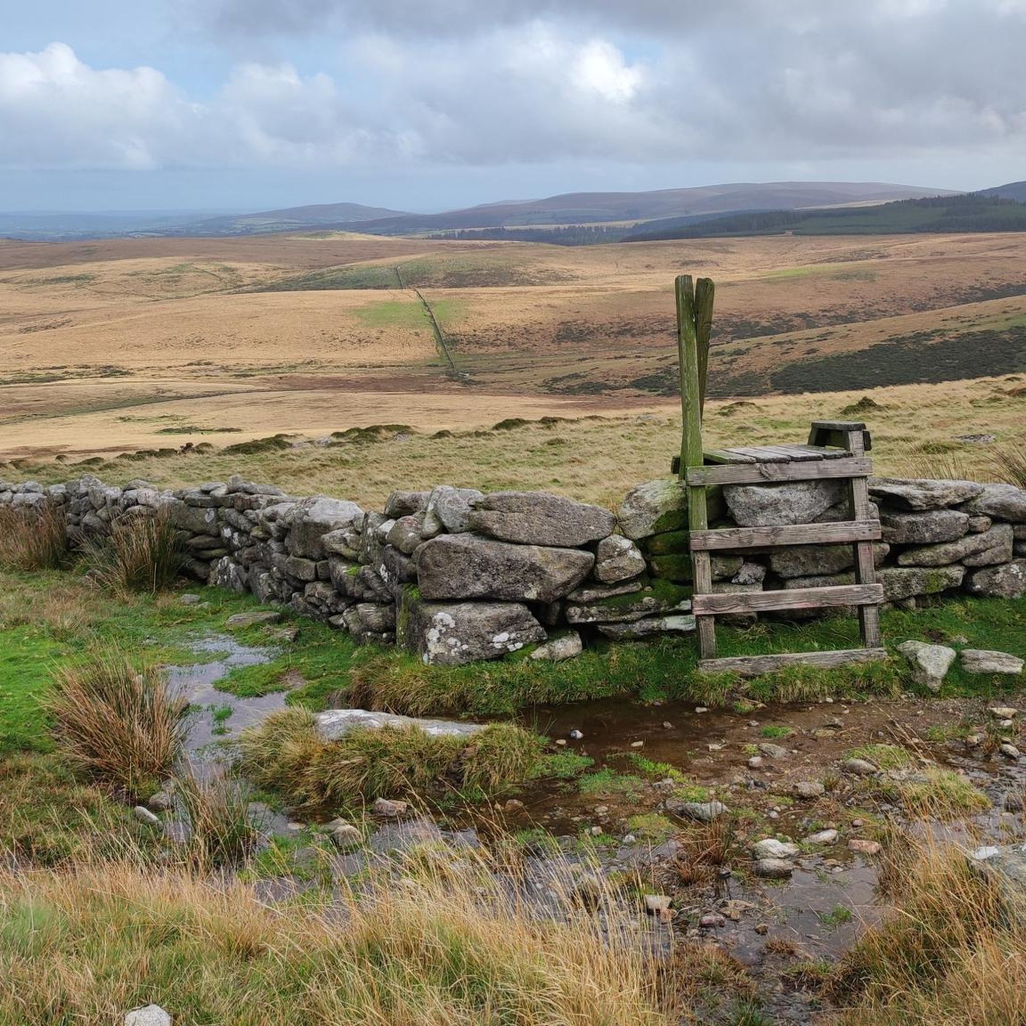
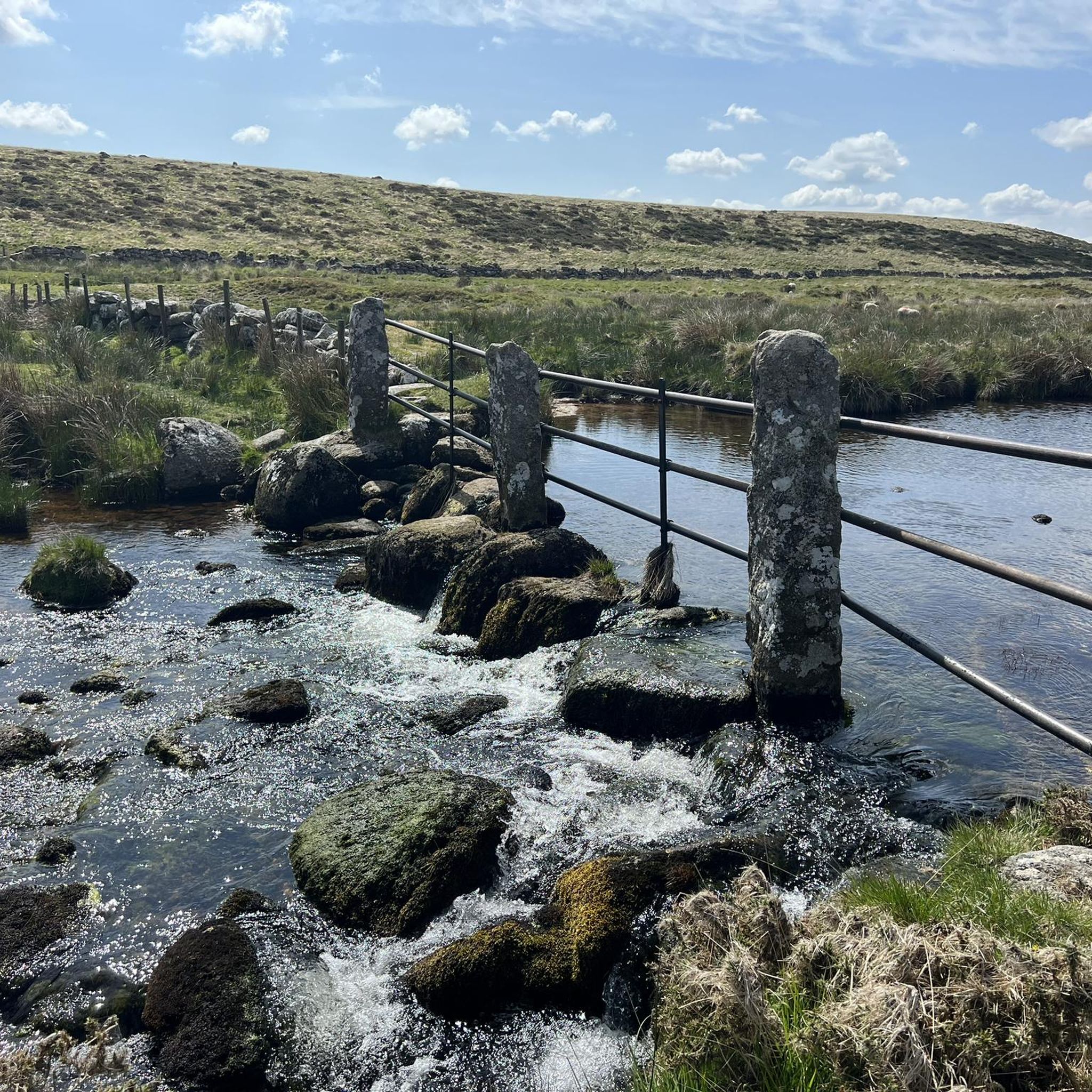
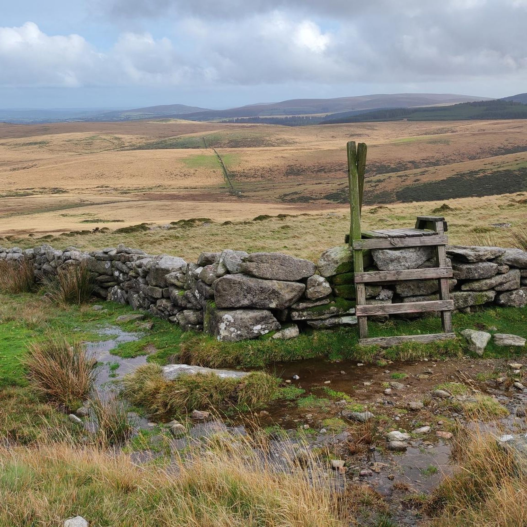
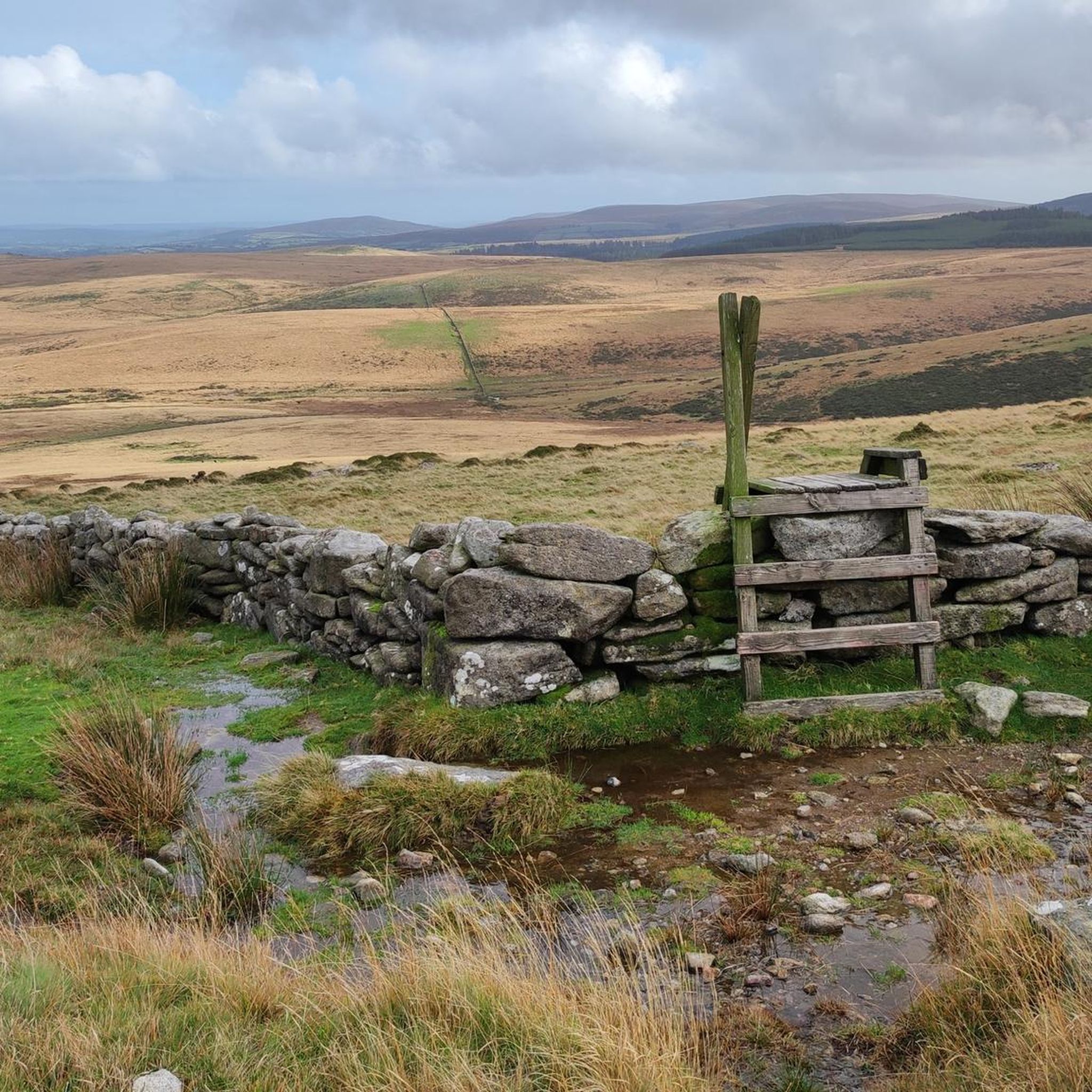
Other adventures around Gidleigh

Tips from the Community


Quite steep. When riding up, you'll sweat properly. On the descent, it really takes off!
0
0

The Pump and Pedal cafe, doesn't open until 10am, an alternative is the pub in Lydford, opens at 8am.
0
0

This lane is quiet and has some really lovely views back down the Teign Valley and towards Dartmoor. Heading towards Cheriton Bishop it's a steady climb. Towards Dunsford... enjoy the descent.
0
0
A really lovely place for coffee and cake. Then either return back down the Wray Trail or up and over via Hennock with great views across Dartmoor.
0
0

A 7-mile (11km), mainly traffic free, route linking Bovey Tracey to Moretonhampstead. It follows the line of the old railway, which was closed to passengers in 1959.
0
0
Sticklepath stores and cafe. You can sit outside with your bike and watch the world go by. Home made cakes were ridiculously cheap, too, and happy to top up water bottles 🙂
0
0

Frequently Asked Questions
How many road cycling routes are available around Gidleigh?
There are over 100 road cycling routes around Gidleigh, offering a wide range of options for different skill levels and preferences. The region is known for its varied terrain within Dartmoor National Park.
Are there easy road cycling routes suitable for beginners in Gidleigh?
Yes, Gidleigh offers 5 easy road cycling routes, perfect for beginners or those seeking a more relaxed ride. These routes typically follow quieter country lanes with gentler gradients, allowing cyclists to enjoy the scenery without significant climbs.
What kind of views and landmarks can I expect on Gidleigh's road cycling routes?
Road cycling routes around Gidleigh offer diverse views, from open moorland and rolling hills to river valleys. You can expect to see iconic Dartmoor granite tors and historic structures. Notable landmarks include the ancient Postbridge Clapper Bridge and the dramatic landscapes around Yes Tor summit and High Willhays summit.
Are there challenging road cycling routes for experienced cyclists?
Absolutely. Gidleigh is home to 42 difficult road cycling routes, featuring significant ascents and descents characteristic of Dartmoor. Routes like the Postbridge Clapper Bridge – Scenic Road to Hound Tor loop from Chagford, which includes over 1,100 meters of elevation gain, provide a substantial challenge for experienced riders.
What do other cyclists say about road cycling in Gidleigh?
The road cycling routes in Gidleigh are highly rated by the komoot community, with an average score of 4.2 stars from over 15 reviews. Cyclists often praise the stunning Dartmoor scenery, the variety of terrain, and the quiet country lanes that make for an enjoyable ride.
Are there circular road cycling routes around Gidleigh?
Many of the road cycling routes around Gidleigh are designed as circular loops, allowing you to start and finish at the same point. For example, the Wray Valley Trail – Scenic Road to Hound Tor loop from Chagford is a popular circular option that takes you through scenic roads and past notable Dartmoor features.
Can I find cafe stops or places to refuel on road cycling routes in Gidleigh?
Yes, several routes incorporate villages and towns where you can find cafes and shops for refreshments. For instance, the Doccombe Climb – Central Café, Moretonhampstead loop from Sticklepath specifically highlights a cafe stop in Moretonhampstead, a common feature in the region's cycling infrastructure.
What is the best time of year for road cycling in Gidleigh?
The best time for road cycling in Gidleigh is typically from spring through early autumn (April to October). During these months, the weather is generally milder, and the moorland scenery is at its most vibrant. Summer offers the longest daylight hours, while spring and autumn provide beautiful colours and fewer crowds.
Are there any historical sites or castles accessible by road bike near Gidleigh?
Yes, the Gidleigh area is rich in history. You can cycle to or near several historical sites, including the impressive Castle Drogo, England's last castle, and the ruins of Okehampton Castle. These offer fascinating detours and photo opportunities.
How long do road cycling routes in Gidleigh typically take to complete?
Route durations vary significantly based on distance and difficulty. For example, the moderate Dartmoor Way Cycle Route, at 34.1 miles (54.8 km), typically takes around 3 hours 4 minutes. Longer, more challenging routes can take upwards of 3.5 hours or more, depending on your pace and stops.
Are there any family-friendly road cycling options in the Gidleigh area?
While many routes involve hills, there are easier sections and quieter lanes that can be suitable for families with older children or those comfortable with road cycling. Look for routes designated as 'easy' or those that stick to less trafficked roads, often found closer to villages or along specific cycle paths.
Where can I find parking for road cycling routes around Gidleigh?
Parking is generally available in the villages and towns surrounding Gidleigh, such as Chagford or Moretonhampstead, which serve as common starting points for many routes. Always check local signage for parking restrictions and fees, especially within Dartmoor National Park.
Most popular attractions around Gidleigh

Get inspired with the komoot mobile app


Explore more
Browse the best Road cycling routes in other regions.
