The best cycling routes around Conagher
4.0
(4)
31
riders
8
rides
Touring cycling around Conagher offers routes through expansive natural landscapes within County Fermanagh, Northern Ireland. The region is characterized by a mix of coniferous forest, significant tracts of open bogland, and rugged uplands. As part of the UNESCO Marble Arch Global Geopark, the terrain includes serene lakes and rolling drumlins, shaped by a complex geological history. These features provide a diverse backdrop for cycling excursions.
Best touring cycling routes around Conagher
- The most popular touring cycling route is Enniskillen Castle…
Last updated: November 11, 2026
9
riders
84.9km
05:08
600m
600m
Hard bike ride. Very good fitness required. Mostly paved surfaces.
10
riders
48.9km
03:07
550m
550m
Hard bike ride. Very good fitness required. Mostly paved surfaces.

5.0
(2)
6
riders
51.7km
03:06
400m
400m
Moderate bike ride. Good fitness required. Mostly paved surfaces.
2
riders
38.1km
02:21
320m
320m
Moderate bike ride. Good fitness required. Mostly paved surfaces.
3.0
(1)
2
riders
33.1km
02:07
380m
380m
Moderate bike ride. Good fitness required. Mostly paved surfaces.
Get access to more routes and recommendations from other explorers.
Already have an account?
Our route recommendations are based on thousands of hikes, rides, and runs completed by other people on komoot.
Start today with a free account
Your next adventure awaits.

Tips from the Community

Built between 1634 and 1636, Manorhamilton Castle is a fine sight. The castle survived the Irish Rebellion in 1641 but succumbed to the Earl of Clanrickard in 1652 and was burned. It's the official start point for the 60-kilometre (37 mi) Leitrim Way, which journeys to Leitrim Village Marina.
0
0

The castle now houses the Fermanagh County Museum, which focuses on the history, culture and natural history of the county.
0
0

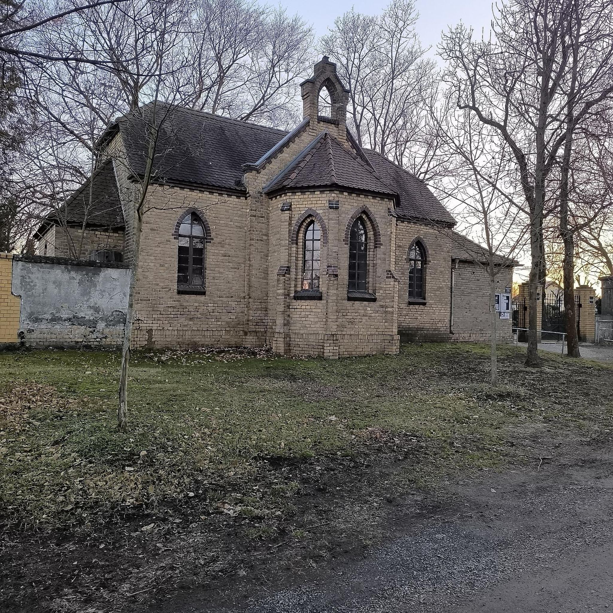
In the graveyard are several interesting stones, probably the most noted one is known as the Bishops stone, this odd shaped stone has been altered and reused several times, originally thought to have been a carved figure similar to those on nearby White Island. Another stone with a lot of history is the large slab standing west of the bishops stone, one side of the stone bears at least twelve cup-shaped hollows, see image above right, which suggest this maybe a multiple bullaun stone/cup marked stone that has been reused as an early Christian cross slab, as on the obverse face is a Greek cross in a circle with a bifurcated stem. Situated south of the bullaun stone is a holed stone, as the image shows this stone is half embedded in the ground. Immediately to the West of the holed stone is a broken 1.2 metre high stone pillar. This stone may have been damaged. http://www.megalithicireland.com/Killadeas.htm
1
0

The magnificent Enniskillen Castle is situated in the heart of Enniskillen on the banks of the River Erne. The castle was founded in the 15th century by Hugh 'The Hospitable' Maguire and belonged to the Maguire family for centuries. Between 2007 and 2013 a massive refurbishment took place so that the castle could be opened to the public. Today you can explore the castle grounds and learn about this landmarks rich history.
1
0
In the graveyard are several interesting stones, probably the most noted one is known as the Bishops stone, this odd shaped stone has been altered and reused several times, originally thought to have been a carved figure similar to those on nearby White Island. Another stone with a lot of history is the large slab standing west of the bishops stone, one side of the stone bears at least twelve cup-shaped hollows, see image above right, which suggest this maybe a multiple bullaun stone/cup marked stone that has been reused as an early Christian cross slab, as on the obverse face is a Greek cross in a circle with a bifurcated stem. Situated south of the bullaun stone is a holed stone, as the image shows this stone is half embedded in the ground. Immediately to the West of the holed stone is a broken 1.2 metre high stone pillar. This stone may have been damaged. http://www.megalithicireland.com/Killadeas.htm
0
0
In the graveyard are several interesting stones, probably the most noted one is known as the Bishop's stone, this odd shaped stone has been altered and reused several times, originally thought to have been a carved figure similar to those on nearby White Island. - http://www.megalithicireland.com/Killadeas.htm
0
0

Nice village green with toilets and Loch side views
0
0

Boa Island is the largest island on Lough Erne. The road cuts through its centre with views of Lusty Beg, Lusty More and Cruninish Islands.
0
0
Frequently Asked Questions
How many touring cycling routes are available in Conagher?
Conagher offers a selection of 10 touring cycling routes, providing diverse options for exploring the region's natural beauty. These routes range in difficulty from moderate to difficult.
What are the typical difficulty levels for touring cycling in Conagher?
The touring cycling routes in Conagher are primarily categorized as moderate to difficult. There are 7 moderate routes and 3 difficult routes, ensuring options for cyclists looking for a challenge.
Are there any circular touring cycling routes in Conagher?
Yes, many of the touring cycling routes in Conagher are designed as loops, allowing you to start and finish in the same location. Examples include the challenging Enniskillen Castle – Enniskillen Castle loop from Drumcrow West and the scenic Saddle Hill loop from Garrison.
What kind of landscapes can I expect to see while touring cycling in Conagher?
Conagher's touring cycling routes traverse a rich variety of landscapes within the UNESCO Marble Arch Global Geopark. You'll experience dense coniferous forests, expansive open boglands, rugged uplands, serene lakes, and rolling drumlins, all shaped by a complex geological history. The region is known for its natural beauty and tranquil, immersive cycling experience.
Which touring cycling routes offer views of lakes?
Several routes provide stunning lake views. The Carrick Lough – Roogagh Waterfall loop from Derrygonnelly offers views of Carrick Lough. Another route, the Tully Castle Ruins – Lough Melvin loop from Heron Island, takes you past Lough Melvin.
Are there any routes that pass by waterfalls or other natural monuments?
Yes, the Carrick Lough – Roogagh Waterfall loop from Derrygonnelly specifically features the impressive Roogagh Waterfall. You might also encounter other natural features like the Old Man's Head or the View of Lough Erne from Cliffs of Magho in the broader area.
What do other touring cyclists say about the routes in Conagher?
The touring cycling routes in Conagher are highly regarded by the komoot community, holding an average rating of 4.0 stars from 2 reviews. Cyclists often praise the diverse terrain, from dense woodlands to open boglands, and the tranquil experience away from crowded routes.
Is Conagher suitable for family-friendly touring cycling?
While Conagher's routes are generally moderate to difficult, the extensive network of forest trails and varied topography means there may be sections suitable for families. It's advisable to check individual route details for elevation and surface conditions to ensure they match your family's cycling abilities.
What is the best season for touring cycling in Conagher?
The best season for touring cycling in Conagher is typically spring through autumn. During these months, the weather is generally milder, and the natural landscapes are at their most vibrant. Always check local weather conditions before heading out, as the region can experience changeable weather.
Are there places to eat or drink along the touring cycling routes?
While the routes themselves often pass through natural, less populated areas, towns and villages near the starting points or along longer loops, such as Derrygonnelly or Garrison, will offer options for cafes, pubs, and other amenities to refuel during your ride.
Is parking available near the touring cycling routes?
Parking is generally available at or near the starting points of many touring cycling routes, especially in or around the villages and trailheads that serve as access points to Conagher Forest and the wider Geopark. Specific parking information can often be found in the detailed route descriptions on komoot.
Are the touring cycling routes in Conagher dog-friendly?
Many outdoor areas in Conagher Forest and the surrounding Geopark are dog-friendly, especially on trails where dogs are kept on a lead. However, specific rules can vary, particularly in nature reserves or protected areas. It's always best to check local signage or specific route details for any restrictions regarding dogs.
Most popular routes around Conagher
Most popular attractions around Conagher
Get inspired with the komoot mobile app


Explore more
Browse the best Cycling routes in other regions.