The best mountain hikes in South Limburg
4.7
(13)
31
hikers
18
hikes
Mountaineering in South Limburg offers a distinctive experience within the Netherlands, characterized by its "Heuvelland" (hill country) of wide, gently rolling hills. The region features deep valleys, rivers, and extensive woodlands, providing varied terrain for exploration. Notable features include the Vaalserberg, the highest point in mainland Netherlands at 322.5 meters, and the scenic Vijlenerbos forest. This landscape, shaped by its proximity to the Belgian Ardennes and German Eifel, presents significant elevation changes for challenging routes.
Best mountaineering routes in South Limburg
- The most popular mountaineering route is Maria Monument, Gulperberg – Virgin Mary statue loop from Gulpen-Wittem, a 6.5 miles (10.4 km) trail that takes 2 hours 52 minutes to complete, winding through the region's characteristic rolling hills and forests.
- Another top favourite among local mountaineers is Climbing Trail – Boundary Marker 1845 loop from Sint Pieter, a Difficult 10.8 miles (17.4 km) path, offering significant elevation changes and views near the Three-Country Point.
- Local mountaineers also love the Göhl Tunnel – Vaalserberg Three-Country Point loop from Plombières, a 9.1 miles (14.6 km) trail leading through varied woodlands and past the unique Three-Country Point, often completed in about 4 hours.
- Mountaineering in South Limburg is defined by rolling hills, deep river valleys, and dense woodlands, with routes offering options for different ability levels.
- The routes in South Limburg are highly rated by the komoot community with an average score of 4.6 stars from over 10 reviews. More than 18 mountaineers have used komoot to explore South Limburg's varied terrain.
Last updated: August 12, 2026
4.7
(3)
3
hikers
10.5km
02:53
170m
170m
Moderate mountaineering route. Good fitness required. Easily-accessible paths. Suitable for all skill levels.
4.0
(2)
7
hikers
16.5km
04:33
270m
280m
Hard mountaineering route. Good fitness required. Sure-footedness, sturdy shoes and alpine experience required.

Sign up for free
4.8
(4)
5
hikers
12.4km
03:19
140m
140m
Moderate mountaineering route. Good fitness required. Easily-accessible paths. Suitable for all skill levels.
2
hikers
14.8km
04:05
250m
250m
Moderate mountaineering route. Good fitness required. Easily-accessible paths. Suitable for all skill levels.
5.0
(2)
4
hikers
15.9km
04:27
300m
300m
Moderate mountaineering route. Good fitness required. Easily-accessible paths. Suitable for all skill levels.
Get access to more routes and recommendations from other explorers.
Sign up for free
Already have an account?
Our route recommendations are based on thousands of hikes, rides, and runs completed by other people on komoot.
Start today with a free account
Your next adventure awaits.
Login or Signup
Popular around South Limburg
Mountain Hikes around Tongeren

Mountain Hikes around Hasselt

From Flanders to the Ardennes — GR 5 in Belgium
The Meuse Cycle Route - Follow the Meuse from the hills to the harbor
Trappist abbeys cycle route – Between beers and heritage
Flanders Divide - Across Flanders

Around the World in 80 Days
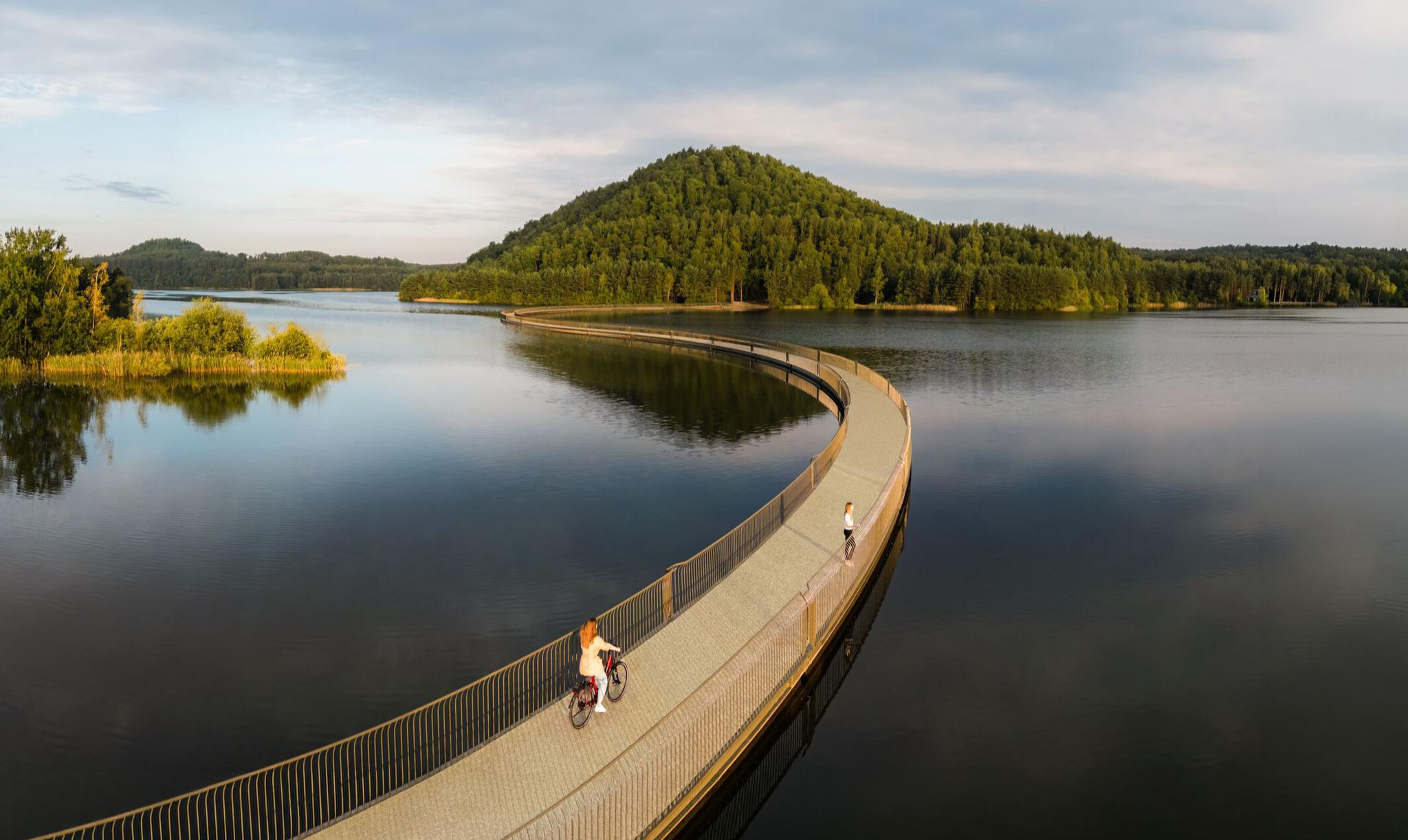
Three days through Belgian Limburg – art, heritage and views
The Meuse Cycle Route - Follow the Meuse from the hills to the harbor
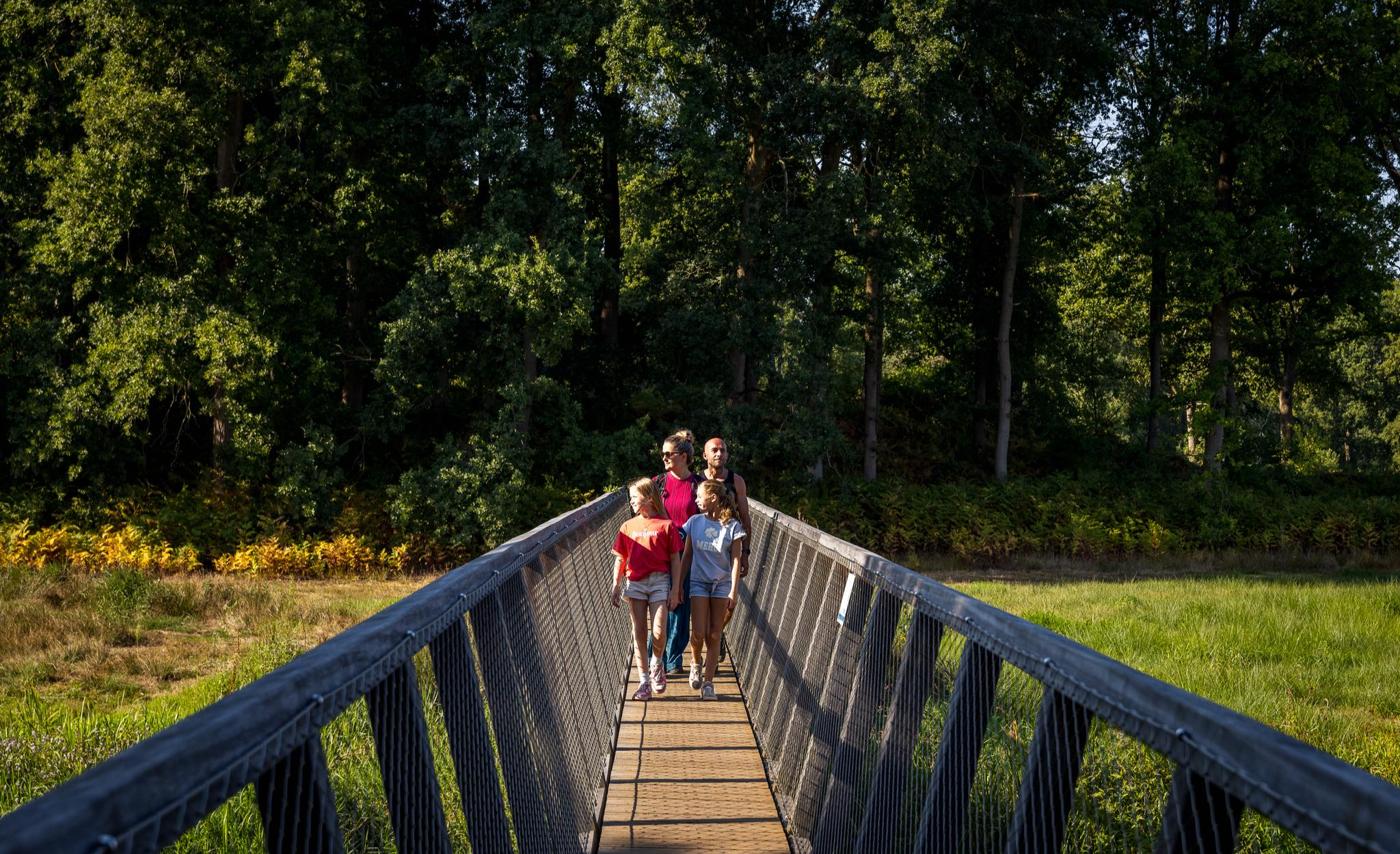
Flanders’ Finest Hiking Routes
Other adventures in South Limburg


Tips from the Community

As early as 1834, a mission cross was placed on the Gulperberg and processions were held here annually. In 1935, the Maria monument was erected on the hilltop. The monument as a whole is approximately 13 meters high. The pedestal is 10 meters high and was designed by sculptor-architect Piet Gerrits. The square base is decorated on all sides with wide cross-shaped mosaics depicting the role of Mary in salvation history. On top of the pedestal, a statue of the crowned Virgin Mary is placed. Mary (without the child Jesus) spreads her hands in a blessing gesture. The approximately 3-meter-high statue of white concrete is a design by the Maastricht sculptor Charles Vos.
4
0
The Gulperberg is the northernmost spur of the Crapoel plateau and, at 157m, offers a magnificent, almost 360° view over the Geuldal in the east and the Gulpdal in the west. The two rivers meet in Gulpen.
4
0

In the past, people came here to work, nowadays to relax and enjoy. The past wasn't always better. 😉
3
0

A steep climb leads up the mountain. The view makes up for it.
1
0
A steep climb leads up the mountain. The view makes up for it.
1
0


The rock formations historically originate from the Meno valley and are approx. 2 million years old
4
0
The Neercanne castle is built on the original site of Roman fortifications whose caves still exist and are used as a wine cellar. In the hall, the original staircase with a railing on wide columns is still present. Weapon trophies are depicted in relief on the ceiling. Currently, the castle is used as a hotel and restaurant. The restaurant has been awarded one star by the Michelin Guide.
5
0
Frequently Asked Questions
How many mountaineering routes are available in South Limburg?
South Limburg offers a selection of 18 mountaineering routes, catering to various skill levels. You'll find a good mix, including 6 easy, 10 moderate, and 2 difficult trails to explore.
What kind of terrain can I expect on mountaineering routes in South Limburg?
Mountaineering in South Limburg, often referred to as 'mountain hiking' locally, is characterized by its distinctive 'Heuvelland' (hill country). You'll encounter wide, gently rolling hills, deep river valleys, and extensive woodlands. The routes feature significant elevation changes for the region, providing a challenging and varied landscape that contrasts sharply with the generally flat Netherlands.
Are there any challenging mountaineering routes for experienced hikers?
Yes, South Limburg offers challenging routes for experienced hikers. For instance, the Climbing Trail – Boundary Marker 1845 loop from Sint Pieter is a difficult 10.8-mile (17.4 km) path with significant elevation changes. The region's terrain, shaped by its proximity to the Belgian Ardennes and German Eifel, provides strenuous hiking opportunities.
Can I find family-friendly mountaineering routes in South Limburg?
While the term 'mountaineering' here implies challenging hikes, South Limburg does offer routes suitable for families, especially those with some hiking experience. There are 6 easy routes among the 18 available, which can be a good starting point. Look for trails with shorter distances and less elevation gain for a more relaxed family outing.
Are dogs allowed on the mountaineering trails in South Limburg?
Many trails in South Limburg are dog-friendly, allowing you to bring your canine companion along. However, it's always advisable to check local signage or specific route details on komoot for any restrictions, especially in nature reserves or protected areas. Keeping your dog on a leash is generally recommended.
What are some notable landmarks or viewpoints I can see along the routes?
South Limburg's routes often pass by interesting landmarks and offer scenic viewpoints. You might encounter the unique Mechelse Heide — Lakes and Sand Dunes, or the Lommelse Sahara Observation Tower. Many trails also lead to picturesque villages, ancient churches, and offer views of the Geul valley or the Vaalserberg area, home to the Three-Country Point.
Are there circular mountaineering routes available?
Yes, many of the mountaineering routes in South Limburg are designed as circular loops, allowing you to start and end at the same point. For example, the Göhl Tunnel – Vaalserberg Three-Country Point loop from Plombières is a popular circular trail that takes you through varied woodlands and past the unique Three-Country Point.
What is the best time of year for mountaineering in South Limburg?
The best time for mountaineering in South Limburg is generally from spring to autumn (April to October). During these months, the weather is milder, and the landscapes are vibrant. Spring brings blooming flora, while autumn offers stunning fall colors in the extensive woodlands. Winter mountaineering is possible, but trails can be muddy or icy, requiring appropriate gear.
How can I get to the starting points of these mountaineering routes using public transport?
South Limburg has a reasonably good public transport network, especially connecting larger towns like Maastricht to smaller villages in the 'Heuvelland'. Buses often serve the starting points of popular hiking areas. For detailed planning, it's best to check local bus schedules or use online journey planners for specific routes. You can find more information on public transport to the region via Visit Maastricht.
Are there options for parking near the mountaineering trails?
Yes, many trailheads and popular starting points in South Limburg offer designated parking areas, often in or near the charming villages. While some may be free, others might require a small fee. It's always a good idea to check the specific route details on komoot or local information boards for parking availability before you set out.
What makes mountaineering in South Limburg unique compared to other regions in the Netherlands?
South Limburg stands out in the Netherlands due to its unique hilly landscape, often called 'Heuvelland'. Unlike the predominantly flat rest of the country, this region offers significant elevation changes, deep valleys, and extensive woodlands, providing a 'real mountain feeling' for hikers. Its proximity to the Belgian Ardennes and German Eifel contributes to this distinct topography, making it an exceptional destination for challenging outdoor activities within the Netherlands.
What do other mountaineers say about the routes in South Limburg?
The mountaineering routes in South Limburg are highly rated by the komoot community, with an average score of 4.6 stars from over 10 reviews. Reviewers often praise the region's varied terrain, the picturesque rolling hills, and the quiet woodlands that offer a refreshing escape. Many appreciate the well-marked paths and the challenging yet rewarding nature of the hikes.
Are there any routes that pass by interesting natural features like forests or river valleys?
Absolutely. South Limburg is rich in natural beauty. The The Geul River and Surroundings – View of Vijlen loop from Epen, for example, takes you through the scenic Geul valley, known for its natural beauty and picturesque villages. The region also boasts the extensive Vijlenerbos forest, one of South Limburg's most beautiful, offering opportunities to enjoy wildlife and starry skies along many trails.
Most popular routes in South Limburg
Most popular attractions in South Limburg

Get inspired with the komoot mobile app


Didn’t find what you were looking for?
Check out more Mountain Hikes & Routes throughout South Limburg below and find the perfect route in your destination.
Explore more
Browse the best Mountain Hikes & Routes in other regions.
