The best mountain hikes around Weissenbach an der Triesting
5.0
(6)
105
hikers
21
hikes
Mountaineering routes around Weissenbach an der Triesting are characterized by the region's varied terrain, featuring forested slopes, prominent peaks, and historical landmarks. The landscape includes notable summit crosses and offers routes through woodlands and past castle ruins. This area provides opportunities for ascents with significant elevation gain, catering to those seeking challenging mountain experiences.
Best mountaineering routes around Weissenbach an der Triesting
- The most popular mountaineering route is St. Magdalena Church – Gaisstein Summit Cross loop from Furth an der…
Last updated: October 18, 2026
12
hikers
Hard mountaineering route. Good fitness required. Sure-footedness, sturdy shoes and alpine experience required.
14
hikers
Hard mountaineering route. Good fitness required. Sure-footedness, sturdy shoes and alpine experience required.

5.0
(1)
11
hikers
7.32km
02:30
350m
350m
Moderate mountaineering route. Good fitness required. Mostly accessible paths. Sure-footedness required.
4
hikers
Moderate mountaineering route. Good fitness required. Mostly accessible paths. Sure-footedness required.
8
hikers
Moderate mountaineering route. Great for any fitness level. Mostly accessible paths. Sure-footedness required.
Get access to more routes and recommendations from other explorers.
Already have an account?
Our route recommendations are based on thousands of hikes, rides, and runs completed by other people on komoot.
Start today with a free account
Your next adventure awaits.
Popular around Weissenbach an der Triesting

North Alpine Trail 01 – Hike across Austria in 49 days
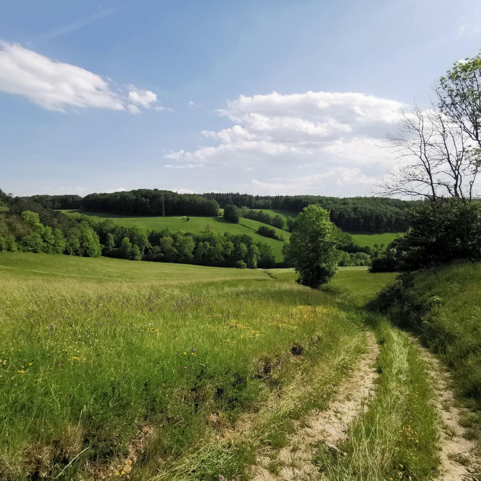
Hiking around Weissenbach an der Triesting
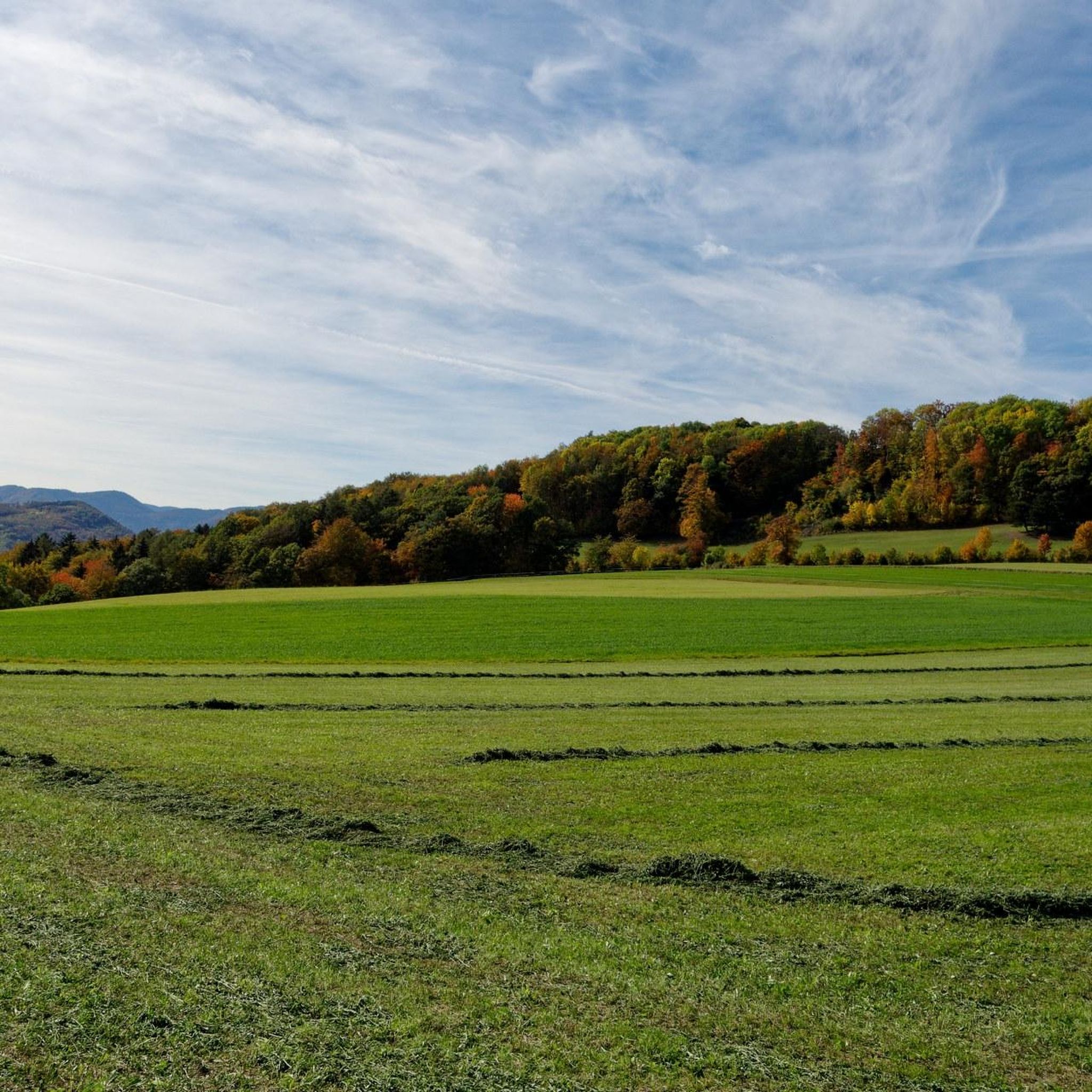
Cycling around Weissenbach an der Triesting
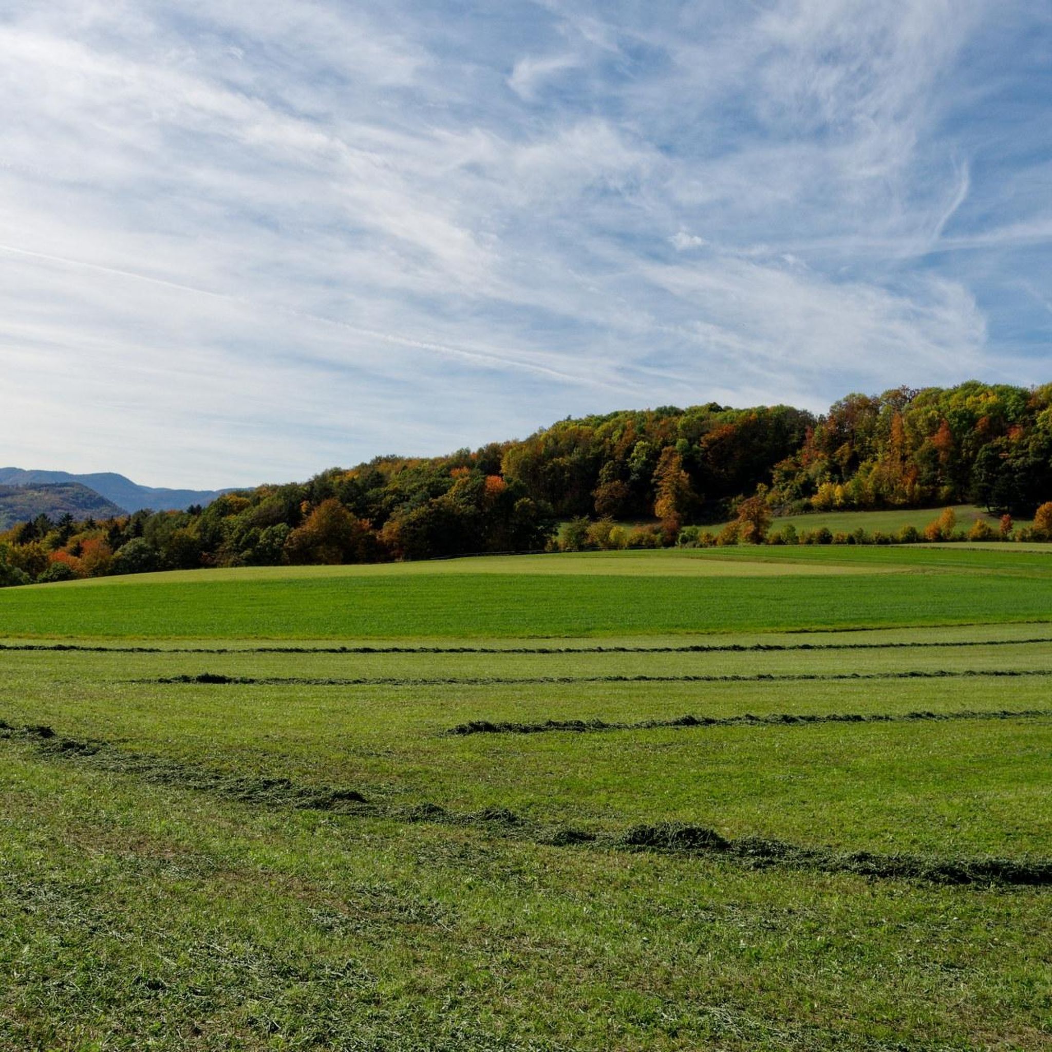
Road Cycling Routes around Weissenbach an der Triesting
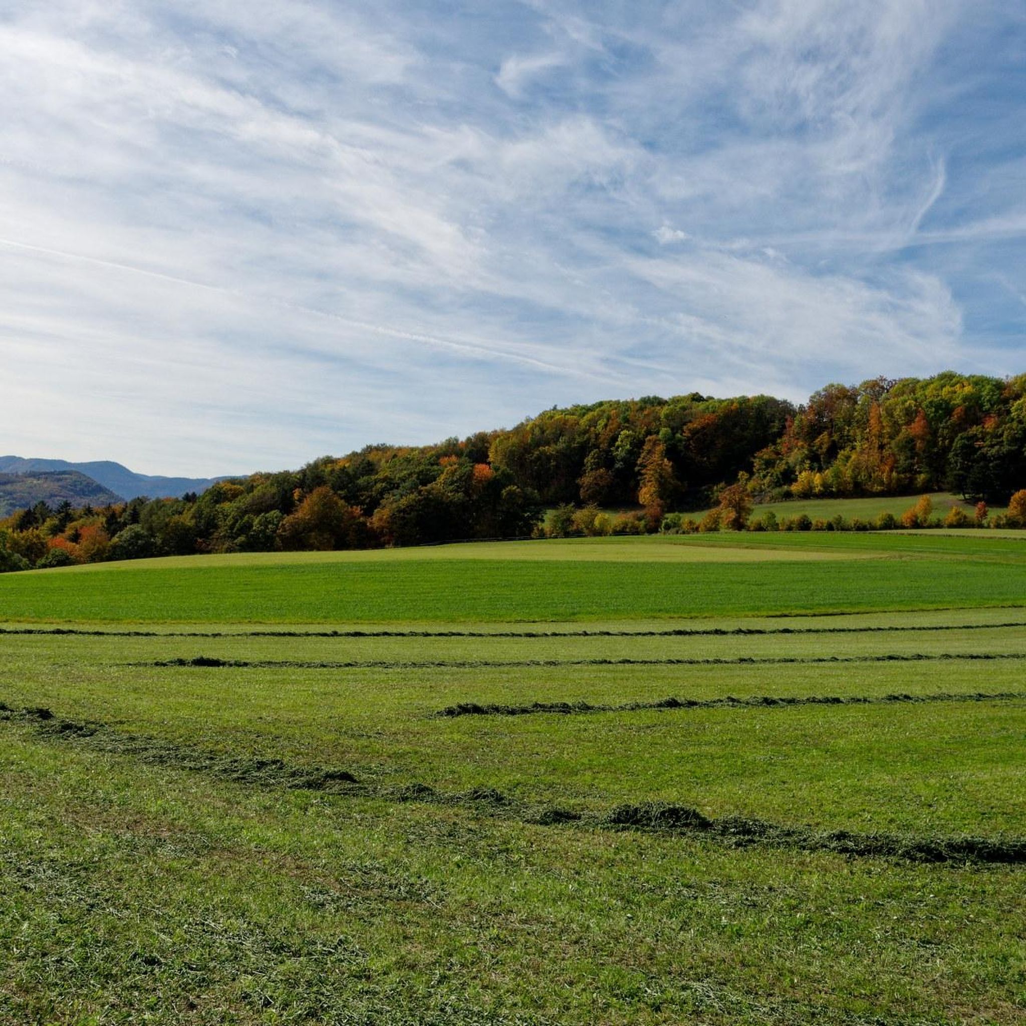
MTB Trails around Weissenbach an der Triesting
Gravel biking around Weissenbach an der Triesting
Running Trails around Weissenbach an der Triesting
Other adventures around Weissenbach an der Triesting

Tips from the Community

Eisernes Türl Wienblick
0
0

Beethoven was taken with the romantic, varied landscape around Mödling
0
0
The Hockeck-Schutzhaus, located at over 1,000 m, with its Meyringer viewing platform is accessible via numerous hiking trails. The platform offers an impressive view over the Vienna Woods at the transition to the Prealps.
0
0
Good food, great atmosphere, starters, main courses and a great ice cream pancake for dessert A very pleasant atmosphere
1
0
The service and the food are absolutely great! The prices are totally ok. Many thanks to the nice lady in service, who once again welcomed and served us in a super friendly way! We will gladly come back.
2
0
There are two different ways up to the summit, a slightly steeper ascent directly through the forest and a slightly longer but flatter path via the forest road.
1
0
The Arnstein Castle was first mentioned in writing in 1170. The first castellan and builder of the complex was Wichard von Arnstein, who was the feudal lord of Hohen Lindkogel and Peilstein at that time. The von Arnstein family owned the castle until the 14th century.
2
0

Here you get a very beautiful view in the direction of Vienna.
0
0
Frequently Asked Questions
How many mountaineering routes are available around Weissenbach an der Triesting?
There are over 20 mountaineering routes in the Weissenbach an der Triesting region, offering a variety of experiences for those seeking mountain adventures.
Are there any easy mountaineering routes for beginners?
The mountaineering routes around Weissenbach an der Triesting are primarily categorized as moderate to difficult, with no easy routes available. This area is best suited for those with some mountaineering experience or a good level of fitness.
What kind of terrain can I expect on these mountaineering routes?
You can expect varied terrain featuring forested slopes, prominent peaks, and historical landmarks. Many routes include ascents to summit crosses and pass through woodlands or near castle ruins, providing a mix of natural beauty and historical interest.
Are there any circular mountaineering routes in the area?
Yes, several routes are circular, allowing you to return to your starting point. For example, the St. Magdalena Church – Gaisstein Summit Cross loop from Furth an der Triesting is a popular circular option, as is the Arnstein Castle Ruins – Arnstein Cave loop from Ruine Arnstein.
What are some notable landmarks or viewpoints I can see along the routes?
The routes often lead to significant landmarks and offer scenic viewpoints. You might encounter prominent summit crosses like the Gaisstein Summit Cross or the Peilstein Summit Cross. The Hausstein Summit is another notable natural monument in the region.
Are there any routes that pass by waterfalls?
Yes, if you're interested in waterfalls, the Myra Falls are a significant natural attraction in the broader region. While not directly on every mountaineering route, they are a highlight worth exploring nearby.
Are the mountaineering routes around Weissenbach an der Triesting suitable for families?
Given that there are no easy routes, and the trails are primarily moderate to difficult, these mountaineering routes are generally more suitable for families with older children who have hiking experience and a good level of fitness. Always check the specific route details for distance and elevation before setting out with children.
Can I bring my dog on these mountaineering trails?
Many trails in the region are dog-friendly, but it's always recommended to check local regulations and specific route descriptions before bringing your dog. Ensure your dog is fit for the moderate to difficult terrain and that you carry enough water for both of you.
Are there options for parking near the trailheads?
Many popular trailheads in the Weissenbach an der Triesting area offer parking facilities. For example, routes starting from Furth an der Triesting or Ruine Arnstein typically have designated parking areas nearby. It's advisable to check the starting point details of your chosen route for specific parking information.
What do other mountaineers say about the routes in Weissenbach an der Triesting?
The mountaineering routes in Weissenbach an der Triesting are highly regarded by the komoot community, holding an average rating of 5.0 stars from numerous reviews. Users often praise the challenging ascents, the beautiful forested sections, and the rewarding views from the summit crosses.
Are there any mountain huts or cafes along the routes?
Yes, some routes pass by mountain huts where you can rest and refuel. For instance, the Tree Cross on Forststraße – Hocheck-Schutzhaus loop from Furth an der Triesting leads past the Hocheck-Schutzhaus, offering a place for a break. The Peilstein Hut – Peilstein Summit Cross loop from Katastralgemeinde Neuhaus also includes a hut.
What is the best time of year for mountaineering in this region?
The best time for mountaineering around Weissenbach an der Triesting is typically from late spring through early autumn (May to October), when the weather is generally stable and trails are clear of snow. Always check local weather forecasts before your trip, especially for higher elevations.
Are there any less crowded mountaineering trails for a quieter experience?
While popular routes can see more visitors, the region offers a good number of trails, and you can often find quieter experiences by exploring some of the less-trafficked moderate routes. Consider trails that might not lead directly to the most prominent summit crosses if you prefer solitude.
Most popular routes around Weissenbach an der Triesting
Most popular attractions around Weissenbach an der Triesting

Get inspired with the komoot mobile app


Explore more
Browse the best Mountain Hikes & Routes in other regions.
