The best running trails around Blumau-Neurißhof
4.5
(244)
7,220
runners
485
runs
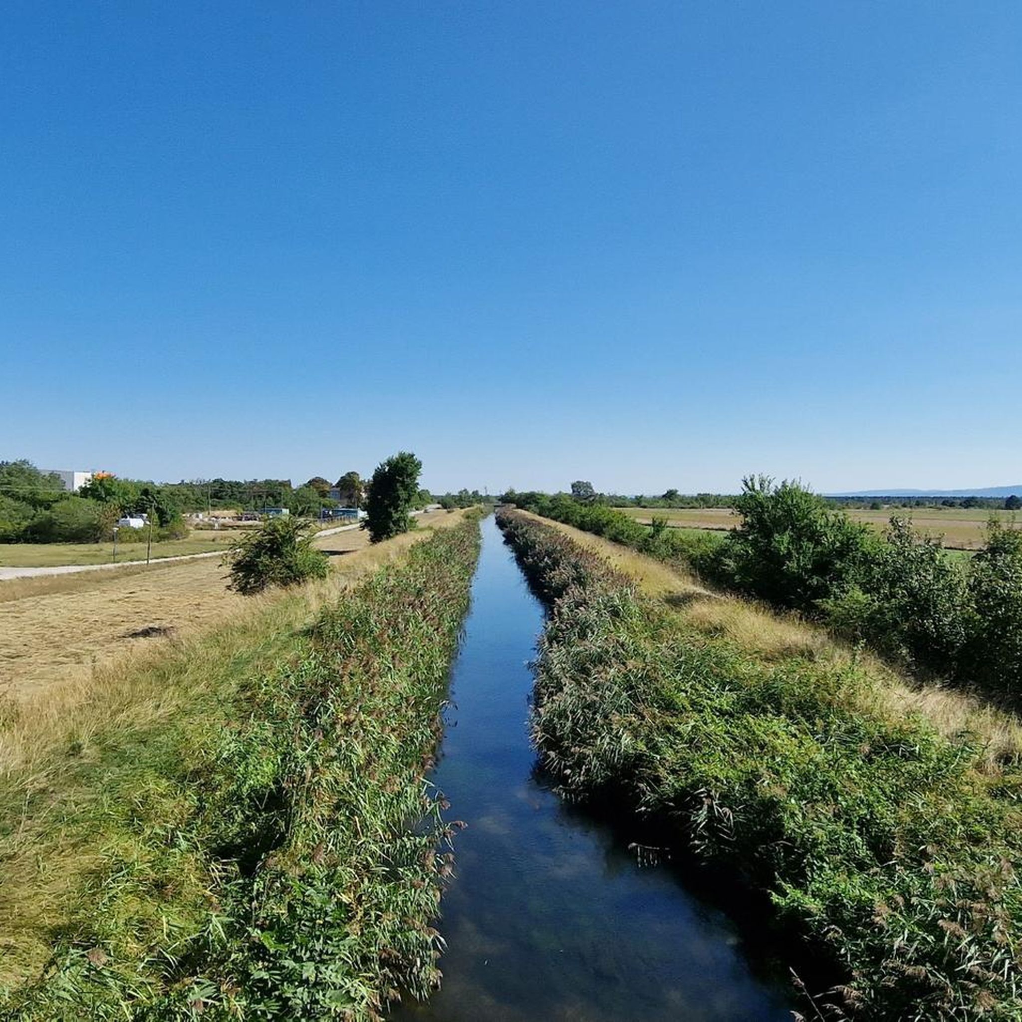
Jogging around Blumau-Neurißhof offers diverse landscapes, characterized by idyllic avenues, meadow paths, and charming woodlands. The region is known as a green oasis within the Vienna Basin, featuring revitalized parkland with deciduous and coniferous trees, ancient sycamores, and floodplain areas. These natural settings provide varied terrain for running, from flat paths to gentle ascents within the broader Wienerwald area.
Best jogging routes around Blumau-Neurißhof
- The most popular jogging route is Running loop from Böhler, a 3.5 miles (5.6 km) trail that takes 35 minutes to complete. This moderate route winds through local woodlands and meadows.
- Another top favourite among local runners is Triesting Floodplain Nature Trail – Fish Ladder on the Triesting loop from Teesdorf, a moderate 7.2 miles (11.7 km) path. This route explores the natural floodplain areas along the Triesting river.
- Local runners also love the Blumau Loop Trail loop from Blumau-Neurißhof, a 3.9 miles (6.3 km) trail leading through revitalized parkland, often completed in about 40 minutes.
- Jogging around Blumau-Neurißhof is defined by meadow paths, charming woodlands, and floodplain areas. The network offers options for easy, moderate, and more challenging running experiences.
- The routes in Blumau-Neurißhof are highly rated by the komoot community with an average score of 4.4 stars from over 200 reviews. More than 6,000 runners have used komoot to explore Blumau-Neurißhof's varied terrain.
Last updated: July 4, 2026
25
runners
5.61km
00:35
10m
10m
Moderate run. Good fitness required. Mostly paved surfaces. Suitable for all skill levels.
5.0
(1)
20
runners
Moderate run. Good fitness required. Mostly paved surfaces. Suitable for all skill levels.

Sign up for free
10
runners
6.29km
00:40
20m
20m
Moderate run. Good fitness required. Mostly paved surfaces. Suitable for all skill levels.
10
runners
6.67km
00:42
10m
10m
Moderate run. Good fitness required. Mostly paved surfaces. Suitable for all skill levels.
5
runners
Easy run. Great for any fitness level. Mostly paved surfaces. Suitable for all skill levels.
Get access to more routes and recommendations from other explorers.
Sign up for free
Already have an account?
Our route recommendations are based on thousands of hikes, rides, and runs completed by other people on komoot.
Start today with a free account
Your next adventure awaits.
Login or Signup

Tips from the Community

impressive little building.
0
0


from there you can see the mountains very well
0
0

Be careful when crossing the bridge. At the northwest end, visibility is poor on the crossing footpath and cycle path. Cyclists often go too fast there. Those coming from the bridge are at risk.
1
0

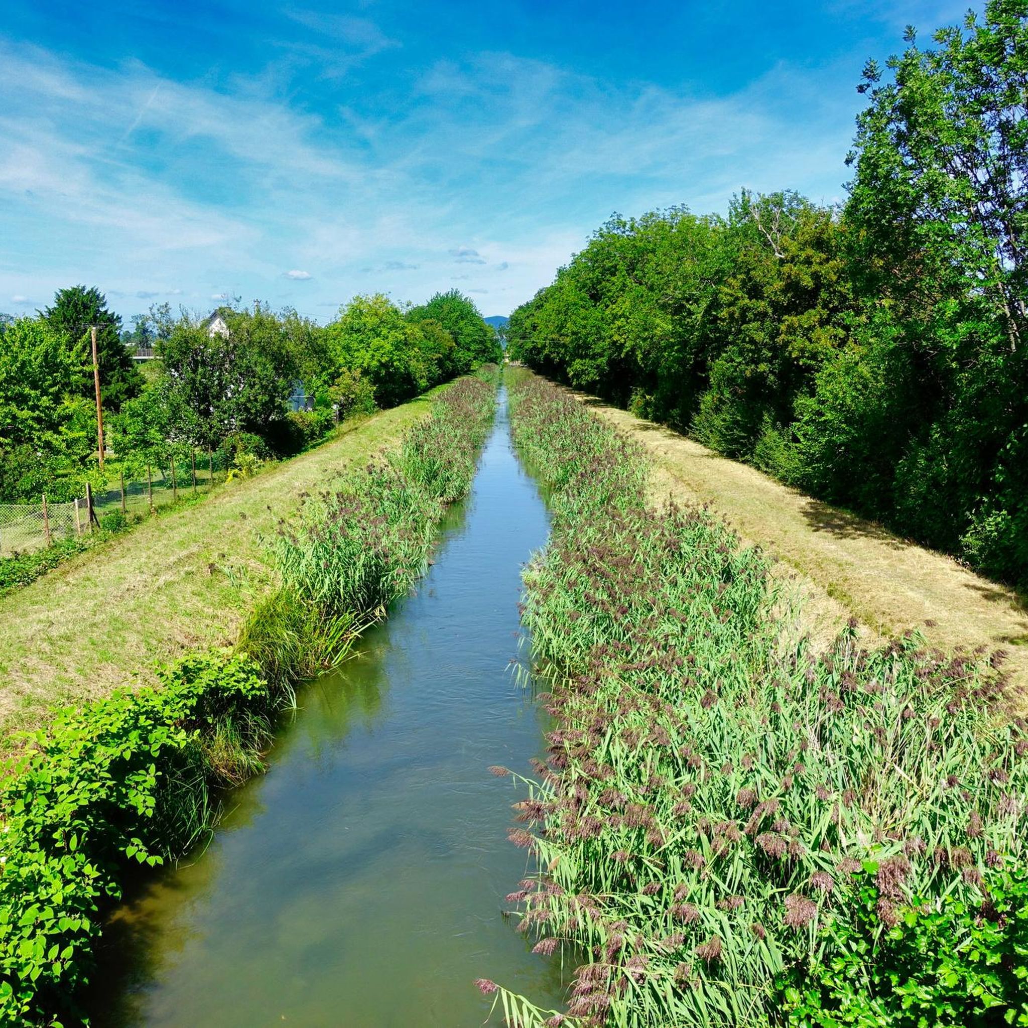
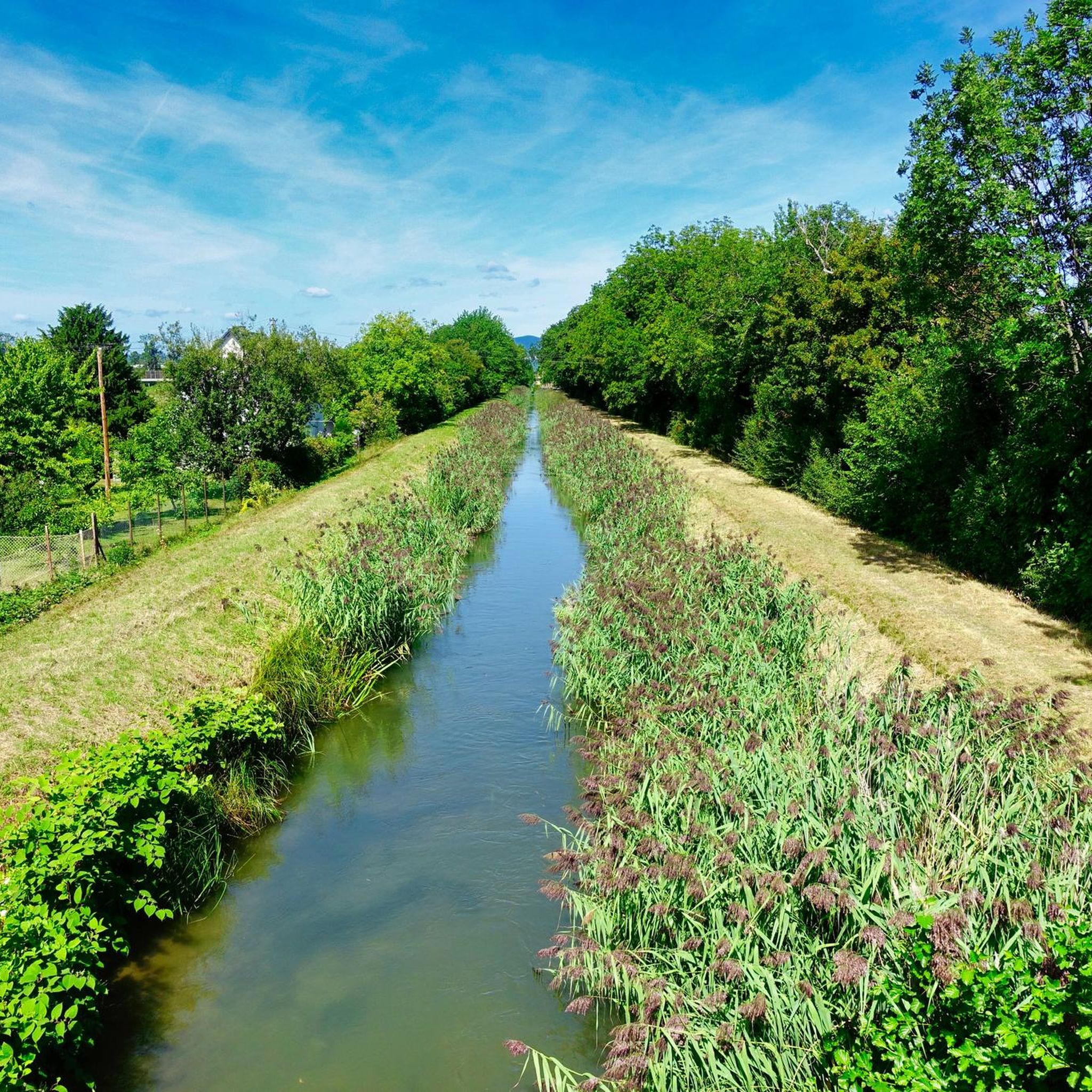
There are many natural rest areas on the Eurovelo 9A. The information on the bridges about the fish species that live in each section of the river is also interesting.
1
0
If you have forgotten your provisions and it is Sunday (all shops closed) then you only need a debit card to go shopping
0
0

The red one is very good! Will be up and running again soon - just come by!
6
0
Frequently Asked Questions
How many jogging routes are available in Blumau-Neurißhof?
Blumau-Neurißhof offers a wide selection of nearly 500 running routes. These trails vary in difficulty, providing options for all fitness levels, from easy strolls to more challenging runs through the diverse landscapes of the Vienna Basin.
Are there easy running trails suitable for beginners or a relaxed pace?
Yes, for those seeking a more relaxed pace or just starting out, there are 26 easy running routes in Blumau-Neurißhof. Many of these paths wind through idyllic avenues and meadow paths, such as the revitalized park area, offering a pleasant and accessible experience. The region's dedicated running and fitness trail is also a great option for an easy run.
What kind of scenery can I expect on the running routes in Blumau-Neurißhof?
The running routes in Blumau-Neurißhof are known for their picturesque and varied scenery. You'll encounter a mix of idyllic avenues, lush meadow paths, and dense forests. The area is considered a 'green oasis' within the Vienna Basin, featuring revitalized parkland with ancient plane trees, deciduous and coniferous trees, and riparian paths along streams like the Neurisser Bach. Some routes also offer views towards the Vienna Woods.
Are there any family-friendly running routes in the area?
Absolutely. Many of the paths in Blumau-Neurißhof are suitable for families. The route along the Neurisser Bach stream, for instance, is known for its relatively easy path and spectacular views, making it popular for families. The revitalized park area also provides a safe and pleasant environment for physical activity for all ages.
Are there circular running routes available?
Yes, many of the running routes in Blumau-Neurißhof are circular, allowing you to start and end at the same point. A popular example is the Blumau Loop Trail loop from Blumau-Neurißhof, which takes you through the revitalized parkland. Another option is the Running loop from Böhler, which winds through local woodlands and meadows.
What do other runners enjoy most about jogging in Blumau-Neurißhof?
The running trails in Blumau-Neurißhof are highly rated by the komoot community, with an average score of 4.4 stars from over 200 reviews. Runners often praise the diverse landscapes, from quiet woodlands to open meadows, and the well-maintained paths that make for an enjoyable experience. The natural setting, which helps to leave behind daily stress, is also frequently highlighted.
Are there any points of interest or attractions along the running routes?
While jogging, you can enjoy the natural beauty of the region, including ancient plane trees and riparian paths. For broader exploration, the area is close to the Föhrenberge Nature Park. You can also find viewpoints like View from Helenenhöhe or View from Hirschbühel, which offer scenic vistas. The Wiener Neustädter Canal also provides a family-friendly path with various points of interest nearby.
Is it possible to reach the running trails using public transport?
Blumau-Neurißhof is well-connected within the district of Baden. While specific public transport stops directly at trailheads vary, the municipality's location makes it accessible. It's advisable to check local bus or train schedules to plan your journey to the starting points of your chosen running routes.
Are there places to park near the running routes?
Yes, parking is generally available in and around Blumau-Neurißhof, especially near popular starting points for outdoor activities. Many local areas and trailheads are equipped with parking facilities to accommodate visitors looking to explore the running trails.
When is the best time of year to go running in Blumau-Neurißhof?
Spring and autumn are particularly recommended for outdoor activities in Blumau-Neurißhof. During these seasons, the weather is mild, and the natural colors are vibrant, making for a very pleasant running experience. However, the diverse landscapes offer enjoyable conditions throughout much of the year.
Can I find refreshments or accommodation near the running trails?
The region around Blumau-Neurißhof offers various options for refreshments and accommodation. While Blumau-Neurißhof itself is a smaller community, nearby towns and villages provide cafes, restaurants, and guesthouses. For example, the Rogner Bad Blumau thermal spa in nearby Bad Blumau offers unique architectural elements and a 'Garden of the 4 Elements', which could be a unique stop.
Are there any longer running routes for more experienced runners?
Yes, for those looking for a longer challenge, there are routes like the Triesting Floodplain Nature Trail – Fish Ladder on the Triesting loop from Teesdorf. This moderate route covers 7.2 miles (11.7 km) and explores the natural floodplain areas along the Triesting river, offering a more extended running experience.
Most popular routes around Blumau-Neurißhof
Most popular attractions around Blumau-Neurißhof

Get inspired with the komoot mobile app


Explore more
Browse the best Running Trails & Routes in other regions.
