The best mountain hikes in Vöcklabruck
4.6
(477)
5,954
hikers
61
hikes
Mountaineering in Vöcklabruck offers a diverse landscape for outdoor enthusiasts, situated between the Salzkammergut mountains and picturesque lakes like Attersee and Traunsee. The region features numerous peaks, including Grünalmkogel and Hochplettspitze, providing varied terrain from challenging mountain hikes to more technical ascents. Dense forests, prominent rock formations like the Drachenwand, and panoramic lake views characterize the area's mountaineering routes. This topography ensures a range of experiences for different skill levels.
Best mountaineering routes in Vöcklabruck
- The most popular mountaineering route…
Last updated: October 18, 2026
4.8
(133)
1,464
hikers
5.79km
03:36
550m
550m
Hard mountaineering route. Good fitness required. Sure-footedness, sturdy shoes and alpine experience required.
4.8
(129)
1,137
hikers
4.47km
03:36
530m
530m
Hard mountaineering route. Good fitness required. Sure-footedness, sturdy shoes and alpine experience required.

4.8
(29)
544
hikers
7.25km
03:22
500m
500m
Moderate mountaineering route. Good fitness required. Mostly accessible paths. Sure-footedness required.
4.9
(44)
554
hikers
10.7km
04:34
670m
670m
Moderate mountaineering route. Good fitness required. Mostly accessible paths. Sure-footedness required.
4.8
(8)
208
hikers
6.55km
02:58
420m
430m
Moderate mountaineering route. Good fitness required. Mostly accessible paths. Sure-footedness required.
4.9
(7)
234
hikers
8.68km
05:09
920m
920m
Hard mountaineering route. Very good fitness required. Sure-footedness, sturdy shoes and alpine experience required.
4.8
(13)
197
hikers
11.8km
06:35
1,110m
1,110m
Hard mountaineering route. Very good fitness required. Sure-footedness, sturdy shoes and alpine experience required.
4.3
(3)
91
hikers
10.7km
05:56
1,030m
1,030m
Hard mountaineering route. Very good fitness required. Mostly accessible paths. Sure-footedness required.
60
hikers
13.9km
07:46
1,350m
1,350m
Hard mountaineering route. Very good fitness required. Sure-footedness, sturdy shoes and alpine experience required.
4.9
(7)
46
hikers
10.4km
04:54
750m
750m
Hard mountaineering route. Good fitness required. Sure-footedness, sturdy shoes and alpine experience required.
Get access to more routes and recommendations from other explorers.
Already have an account?
Our route recommendations are based on thousands of hikes, rides, and runs completed by other people on komoot.
Start today with a free account
Your next adventure awaits.
Popular around Vöcklabruck

Mountain Hikes in Attersee Traunsee

Mountain Hikes around Attersee

Mountain Hikes around Steinbach am Attersee
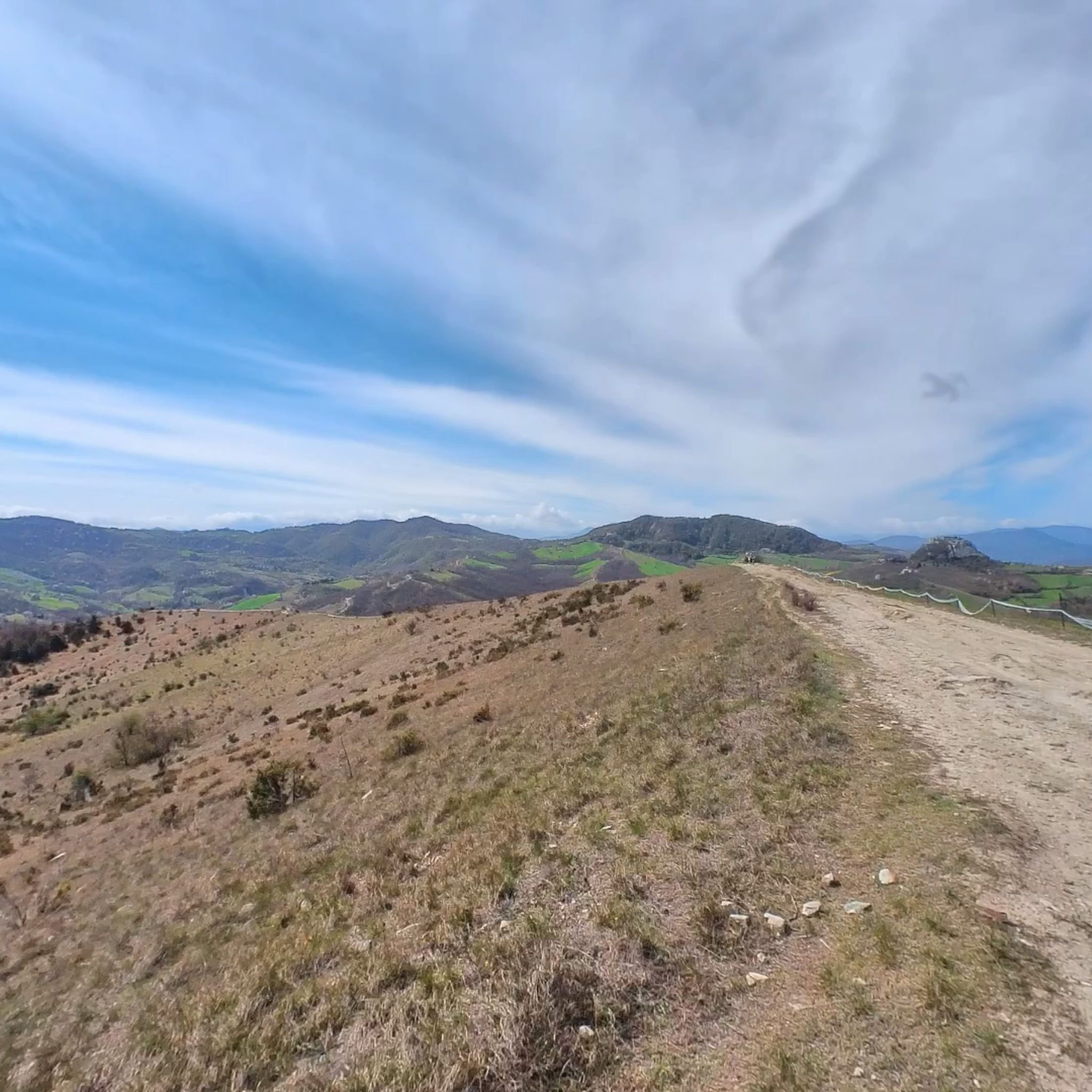
Mountain Hikes around Mondsee
Mountain Hikes around Mondsee
Mountain Hikes around Sankt Lorenz
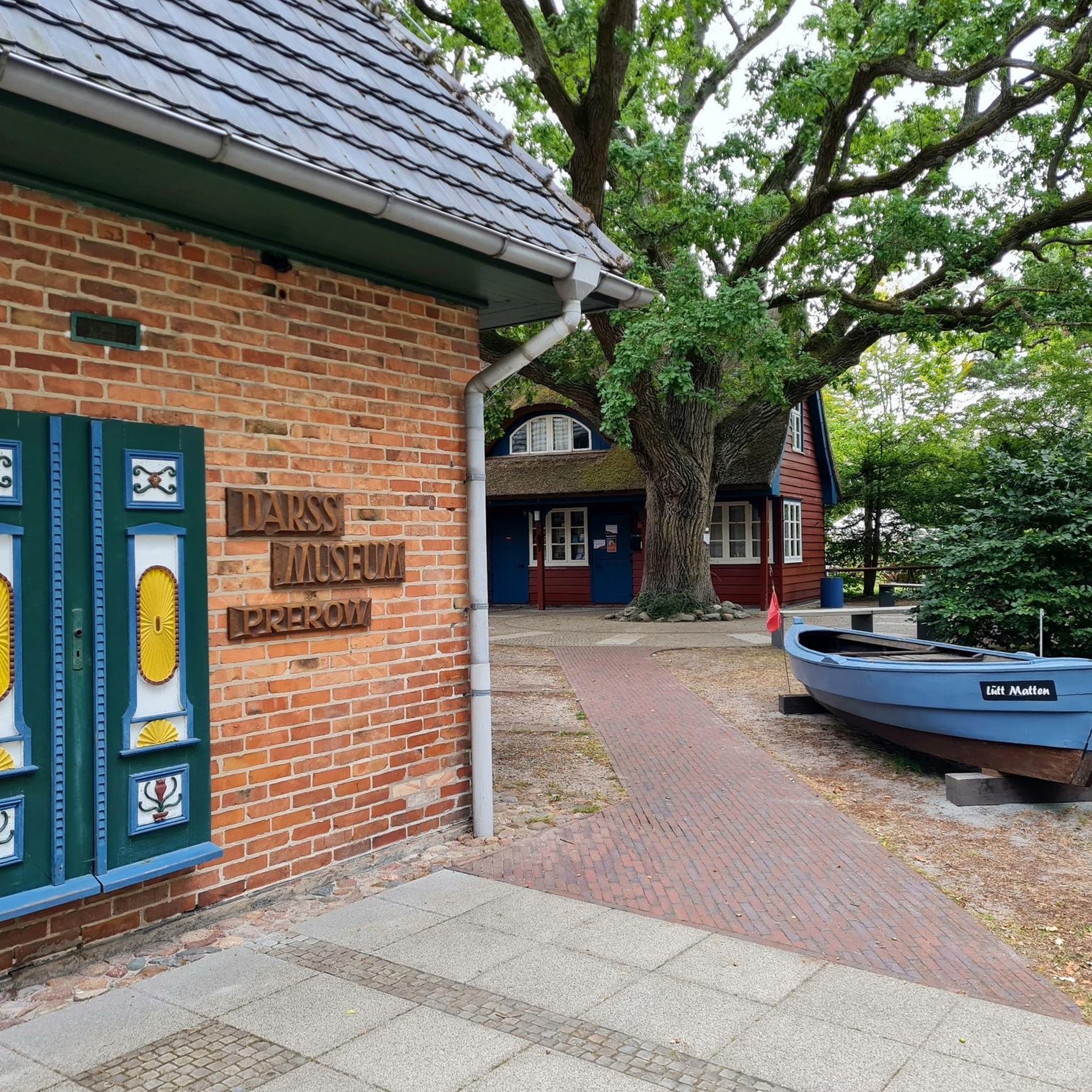
Mountain Hikes around Schörfling am Attersee
Mountain Hikes around Attersee am Attersee
Mountain Hikes in Kaiserwald/Auwald
Mountain Hikes around Tiefgraben
Other adventures in Vöcklabruck


Tips from the Community

When you are at the top, you should go there too. Super view, quick to reach and not quite as overcrowded as the Schafberg.
0
0

Above all, the alpine pasture is incredibly beautiful. It almost looks unreal.
0
0
The lake is light turquoise.
0
0

Start the ascent early, otherwise there will be no space at the summit cross. Very popular. Parking available but payable. (4 - 6 €) Kleiner Schoberstein is no longer an officially marked or secured path. Rock is very crumbly and loose. No safety equipment, not without danger. Recommended only for very skilled/experienced mountaineers.
0
0

The Theklakapelle St. Lorenz-Gries is located at approx. 580 meters altitude in the forest on the Klausbach stream below the Drachenstein. A Klausen warden, surprised by a storm, built this chapel with an image of Saint Thekla.
0
0

Small but beautiful peak
0
0


Frequently Asked Questions
How many mountaineering routes are available in Vöcklabruck?
Vöcklabruck offers a wide selection of mountaineering routes, with over 60 distinct tours to explore. These range from moderate ascents to more challenging, difficult trails.
What is the best time of year for mountaineering in Vöcklabruck?
The region is generally best explored from spring through autumn. During these seasons, you'll find favorable weather conditions for hiking and mountaineering, allowing you to fully enjoy the diverse landscapes and panoramic views of the Salzkammergut mountains and lakes.
Are there options for beginners or less experienced mountaineers in Vöcklabruck?
Yes, Vöcklabruck offers routes suitable for varying skill levels. While many are challenging, there are also moderate options available. For example, the View of Lake Attersee – Großer Schoberstein loop from Weißenbach am Attersee is a moderate trail offering scenic lake views, and the View of Lake Attersee – Rocky Forest Trail loop from Salzkammergut provides another moderate option.
Where can I find challenging mountaineering routes in Vöcklabruck?
For experienced mountaineers seeking a challenge, the Vöcklabruck region has plenty to offer. The prominent Drachenwand area features several difficult routes, such as the Thekla Chapel – Drachenwand loop from St. Lorenz or the Drachenwand – Drachenwand loop from St. Lorenz. Another demanding option is the Dachsteinblick Summit – Mahdlgupf Summit loop from Weißenbach am Attersee, which includes significant elevation gain.
Are there any circular mountaineering routes in the Vöcklabruck region?
Many of the mountaineering routes in Vöcklabruck are designed as loops, allowing you to start and end at the same point. Examples include the Drachenwand – Drachenwand Suspension Bridge loop from St. Lorenz, the Niedere Rast rest area – Hochleckenhaus loop from Kienklause, and the Almkogel Summit Cross – Drachenwand loop from St. Lorenz.
Which routes offer the best panoramic views of the lakes and mountains?
The Vöcklabruck region is renowned for its stunning lake and mountain vistas. Routes around Lake Attersee, such as the View of Lake Attersee – Großer Schoberstein loop from Weißenbach am Attersee or the View of Lake Attersee – Mahdlgupf Summit loop from Weißenbach am Attersee, provide exceptional views. The Schafberg Mountain also offers breathtaking panoramas of Lake Attersee and Lake Traunsee.
Are there any routes that include mountain huts for a break or refreshment?
Yes, several routes in the Vöcklabruck area pass by or lead to mountain huts where you can take a break and enjoy local specialties. The Niedere Rast rest area – Hochleckenhaus loop from Kienklause, for instance, includes the Hochleckenhaus. Other notable huts in the region include the Pettenfirst Hut and Kreuzingalm.
How long do mountaineering routes in Vöcklabruck typically take?
The duration of mountaineering routes in Vöcklabruck varies significantly based on difficulty and distance. Shorter, moderate routes like the View of Lake Attersee – Großer Schoberstein loop can be completed in about 3 to 4 hours. More challenging and longer routes, such as the Eisenaualm – Schafbergspitze Mountain Hotel loop, can take 7 to 8 hours or even longer.
What do other mountaineers enjoy most about Vöcklabruck's routes?
The mountaineering routes in Vöcklabruck are highly rated by the komoot community, with an average score of 4.6 stars from over 460 reviews. Users frequently praise the diverse landscape, the challenging yet rewarding ascents, and the spectacular panoramic views of the Salzkammergut mountains and picturesque lakes like Attersee and Traunsee.
Are there any interesting landmarks or viewpoints along the mountaineering routes?
Yes, the Vöcklabruck region is rich in natural landmarks and viewpoints. Along your routes, you might encounter highlights such as the Flucht Pass, the Mühlbach between lake and mountain landscape, or the Großalmhöhe Pass. Many trails also offer stunning views of the Höllengebirge.
Are there any particularly long-distance mountaineering routes for multi-day trips?
While the provided routes are generally day trips, the region offers challenging long-distance hikes for experienced individuals, such as the 'Große Höllengebirgsrunde' which traverses the prominent Höllengebirge mountain range. These longer routes provide an immersive experience in the Vöcklabruck's mountainous terrain.
Most popular routes in Vöcklabruck
Most popular attractions in Vöcklabruck

Get inspired with the komoot mobile app


Didn’t find what you were looking for?
Check out more Mountain Hikes & Routes throughout Vöcklabruck below and find the perfect route in your destination.
Explore more
Browse the best Mountain Hikes & Routes in other regions.
