The best MTB trails around Silchester
4.6
(53)
210
riders
47
rides
Mountain biking around Silchester offers a diverse landscape of gently undulating countryside, open farmland, and ancient woodlands. The region is characterized by leafy lanes connecting secluded villages and features the historic Kennet and Avon Canal. These varied terrains provide a range of mountain bike trails suitable for different skill levels.
Best mountain bike trails around Silchester
- The most popular mountain bike trail is View From Watership Down – St Mary's Church, Kingsclere loop from Tadley, a 22.0 miles (35.3…
Last updated: October 15, 2026
3.3
(3)
7
riders
35.5km
02:28
380m
380m
Moderate mountain bike ride. Good fitness required. Advanced riding skills necessary.
3
riders
Hard mountain bike ride. Very good fitness required. Advanced riding skills necessary.

5.0
(1)
5
riders
22.6km
01:12
130m
130m
Easy mountain bike ride. Great for any fitness level. Suitable for all skill levels.
4
riders
Moderate mountain bike ride. Good fitness required. Suitable for all skill levels.
4.5
(4)
6
riders
20.6km
01:22
40m
40m
Easy mountain bike ride. Great for any fitness level. Suitable for all skill levels.
Get access to more routes and recommendations from other explorers.
Already have an account?
Our route recommendations are based on thousands of hikes, rides, and runs completed by other people on komoot.
Start today with a free account
Your next adventure awaits.
Tips from the Community

This was a really lovely ride, well put together and uses the areas bridleways and byeways to best advantage. We rode it in August during a drought, so very dry conditions but beautiful area to explore.
0
0

Open and busy when I passed middle of a Friday afternoon in May 2026. They have a pilgrim stamp, and apart from the cafe also a well-stocked (if ££) shop, you could get the makings of a meal or 2 here instead of/as well as enjoying either a snack (as I did) or a full meal.
0
0

Watership Down Star rating: 4.7 out of 5 stars4.7Category:📍 Scenic spot Click to open side panel for more information'... I’m a huge Watership Down fan and it was magical to be here. ...'Opens in a new windowKaylaIf you’ve ever wanted to live out your own bunny adventure (minus the scary owls and general peril), Watership DownClick to open side panel for more information is a real, spectacularly beautiful place in North Hampshire. It’s part of a high chalk ridge that feels like the "top of the world" with views that stretch on forever.Everything in Richard Adams’ famous book—from the steep slopes to the specific farmhouses—is based on the real-life geography of this area. Here is how to enjoy it in a fun, relaxed way:The "Summit" ExperienceThe hill itself rises steeply on its northern side and slopes gently to the south. It’s a favorite for hikers and cyclists who want to feel like they’re standing on the spine of England.The Memorial Tree: At the top, you’ll find a beech tree planted in memory of Richard Adams. The original "Beech Hanger" from the book was destroyed in a 2004 storm, but the new one is protected by a wooden fence where fans have carved the names of the rabbits like Hazel, Bigwig, and Fiver.The "Iron Age" Vibe: The top of the hill is actually a partially completed Iron Age hill fort. You can still see the ancient earthworks and burial mounds (tumuli) that give the place a mysterious, ancient energy.Real Rabbits: Yes, there are actually plenty of rabbits! If you go at dawn or dusk, you’ll see the modern-day descendants of the book’s heroes hopping around the chalk grassland.Hidden Book LocationsYou can actually "track" the rabbits' journey through the local landscape, as almost every landmark in the story exists in the real world.Nuthanger Farm: This is a real working farm located just below the down. You can see it from the public footpaths, and it looks remarkably like the descriptions in the novel.The River Test: The rabbits famously crossed this river on a wooden punt. In reality, the Test is one of the clearest "chalk streams" in the world, famous for its trout and crystal-clear water.The Wayfarer’s Walk: This is the main "highway" for hikers that runs right along the ridge of the down. It’s the easiest way to navigate the area while soaking in the 360-degree views of the North Wessex Downs.
0
0

Not a gravel riding track. Only suitable for mountain bikes due to the road conditions, big rocks, and large potholes. If you must ride a gravel bike here, do not cruise and always go slowly.
0
0

Scutchamer Knob is an ancient Iron Age burial mound and historic landmark on the Ridgeway. Along my King Alfred’s Way bikepacking route, it was a memorable spot to pause before the final stretch to Reading. 📜 Once a Saxon meeting place, this hilltop offers panoramic views of the surrounding Berkshire downs—a perfect blend of history and landscape. 🚴♂️ A short climb rewards you with quiet reflection and wide-open skies.
0
0
A perfect pause near the end of my King Alfred’s Way ride to Reading, this spot offers sweeping Berkshire views and a peek into England’s deep past. The Ridgeway here follows ancient trade routes, with nearby Iron Age earthworks and medieval terraces. Local legends whisper of ghostly travelers and strange lights in nearby woods — adding a bit of mystery to the stunning scenery. 🚴♂️ Easy access for cyclists. Take a moment to soak in the views and the stories before your final miles.
0
0
Although most riders finish King Alfred’s Way in Winchester, I wrapped up my journey in Reading—making this stunning Ridgeway section into Streatley one of my final and most memorable stretches. The open chalk track offers incredible views over the Thames Valley, followed by a flowing descent into Streatley & Goring—an ideal place to pause, refuel, and take in the last big skies before rolling to the end. 🚴♂️ Fast but rideable chalk descent (even in damp conditions), watch for walkers and ruts. 📍 Café and rest stop options in Streatley/Goring.
1
0

Beautiful view with dry conditions also suitable to ride there with a Gravelbike
0
0
Frequently Asked Questions
How many mountain bike trails are available around Silchester?
There are over 50 mountain bike trails around Silchester, offering a diverse range of experiences. These include routes suitable for various skill levels, from easy rides to more challenging adventures.
Are there any easy mountain bike trails suitable for beginners or families?
Yes, Silchester offers several easy mountain bike trails. For a relaxed ride, consider the Kennet and Avon Canal – Theale Lake loop from Aldermaston. This 20.5 km route follows the canal towpath, which is part of the National Cycle Network Route 4, making it suitable for all skill levels. Another easy option is the View of Rapeseed Fields – The Vyne loop from Sherborne St. John, a 22.6 km trail through open farmland.
What are the more challenging mountain bike routes in the Silchester area?
For those seeking a more challenging ride, the Ridgeway Track to Streatley – Scutchamer Knob loop from Aldermaston is a moderate 69.3 km path that requires good fitness. It features sections with incredible views over the Thames Valley and a flowing descent. Another moderate option is the View From Watership Down – St Mary's Church, Kingsclere loop from Tadley, a 35.3 km trail with scenic views.
Are there mountain bike trails that form a loop around Silchester?
Many of the mountain bike trails around Silchester are designed as loops, allowing you to start and finish at the same point. For example, the Nunhide Lane Gravel Track – Ridgeway Track to Streatley loop from Mortimer is a moderate 55.8 km circular route that offers varied terrain.
What kind of landscapes and natural features can I expect to see on the trails?
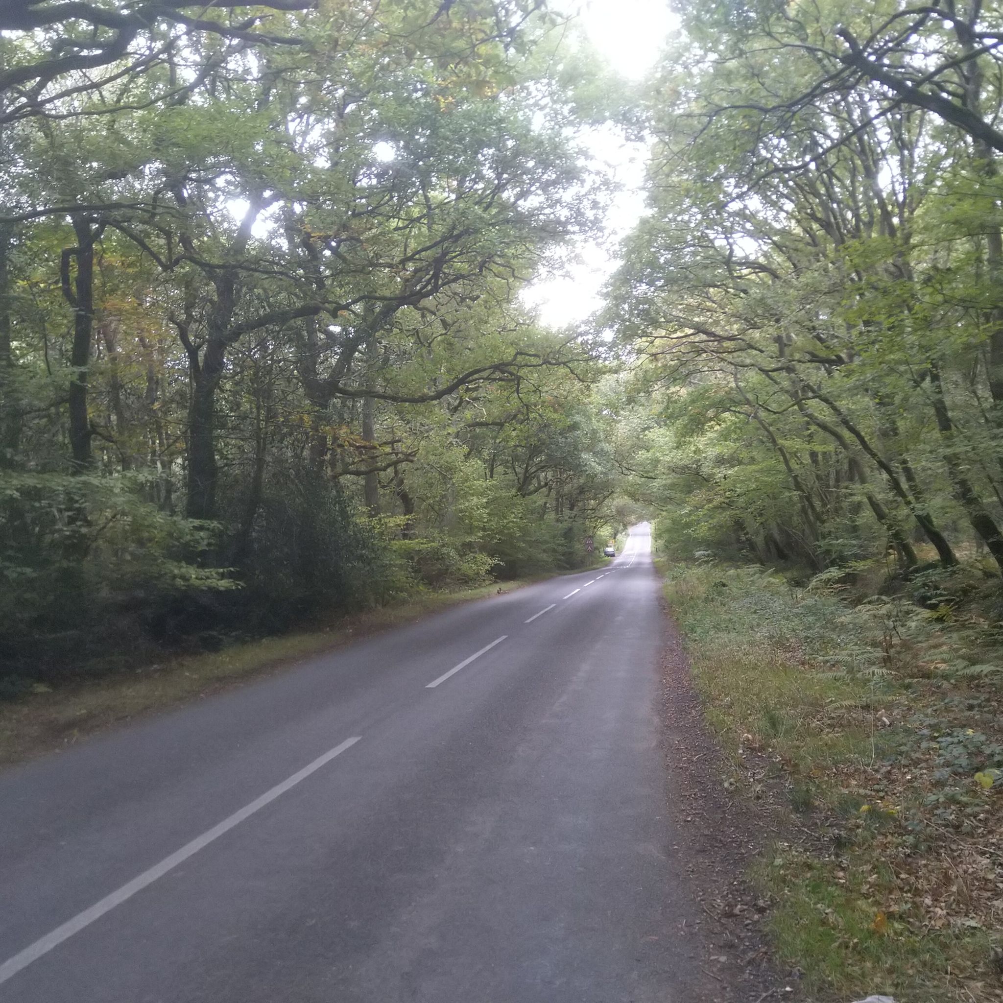
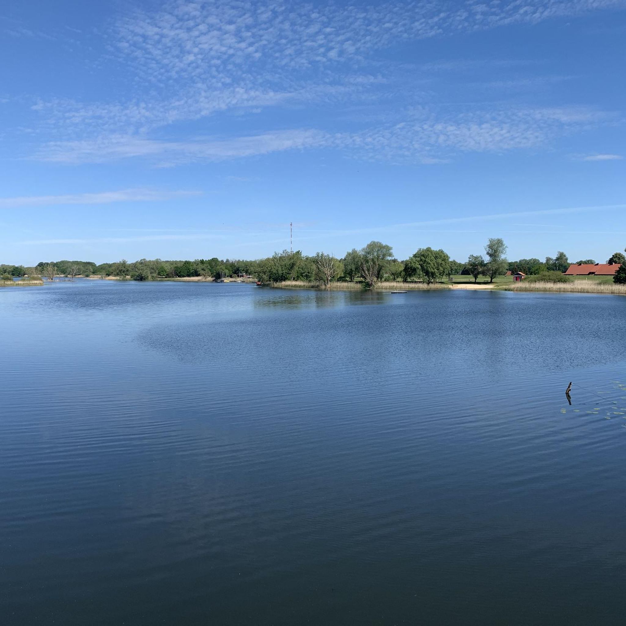
Mountain biking around Silchester takes you through a diverse landscape of gently undulating countryside, open farmland, and ancient woodlands like Benyon's Inclosure and Bramley Frith. You'll also encounter the historic Kennet and Avon Canal and local water features like the Silchester Brook. The varied terrain provides a rich natural experience.
What historical landmarks or attractions can I explore near the mountain bike routes?
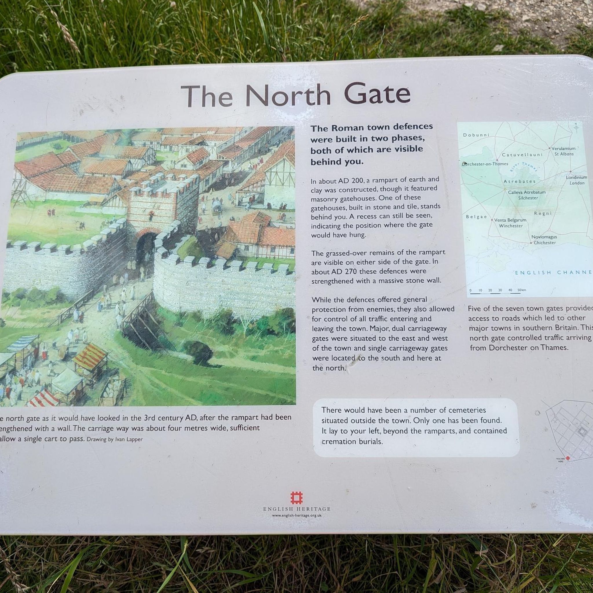
Silchester is rich in history. You can explore the impressive Roman walls and the remains of a large amphitheatre at Calleva Atrebatum: Roman town and city walls. The Amphitheatre itself is a significant historical site. Additionally, the National Trust property The Vyne, a former Tudor mansion, is also nearby and features extensive grounds.
Are there any viewpoints or scenic spots along the mountain bike trails?
Yes, several routes offer scenic views. The View From Watership Down – St Mary's Church, Kingsclere loop from Tadley provides scenic vistas across the landscape. The Ridgeway Track to Streatley – Scutchamer Knob loop from Aldermaston includes sections with incredible views over the Thames Valley.
What do other mountain bikers say about the trails in Silchester?
The mountain bike trails in Silchester are highly rated by the komoot community, with an average score of 4.5 stars from over 40 reviews. Reviewers often praise the diverse terrain, from quiet woodlands to open farmland, and the well-maintained paths that offer a rewarding experience for various skill levels.
Is there parking available near the trailheads in Silchester?
While specific parking details vary by trailhead, many routes around Silchester start from villages or areas where public parking is available. It's advisable to check the starting point of your chosen route on komoot for more precise parking information.
Are there options for public transport access to the mountain biking areas?
Some areas around Silchester are accessible by public transport, particularly train stations in nearby towns like Aldermaston or Mortimer, which can serve as starting points for certain routes. The Kennet and Avon Canal towpath, for instance, is easily accessible from various points along its length, some of which are near public transport links.
What is the best time of year for mountain biking in Silchester?
Mountain biking in Silchester can be enjoyed year-round, but spring and autumn often offer the most pleasant conditions with milder temperatures and beautiful scenery. Summer is also great, though trails can be busier. Winter riding is possible, but be prepared for potentially muddy conditions, especially in wooded areas.
Are there any places to eat or drink near the mountain bike trails?
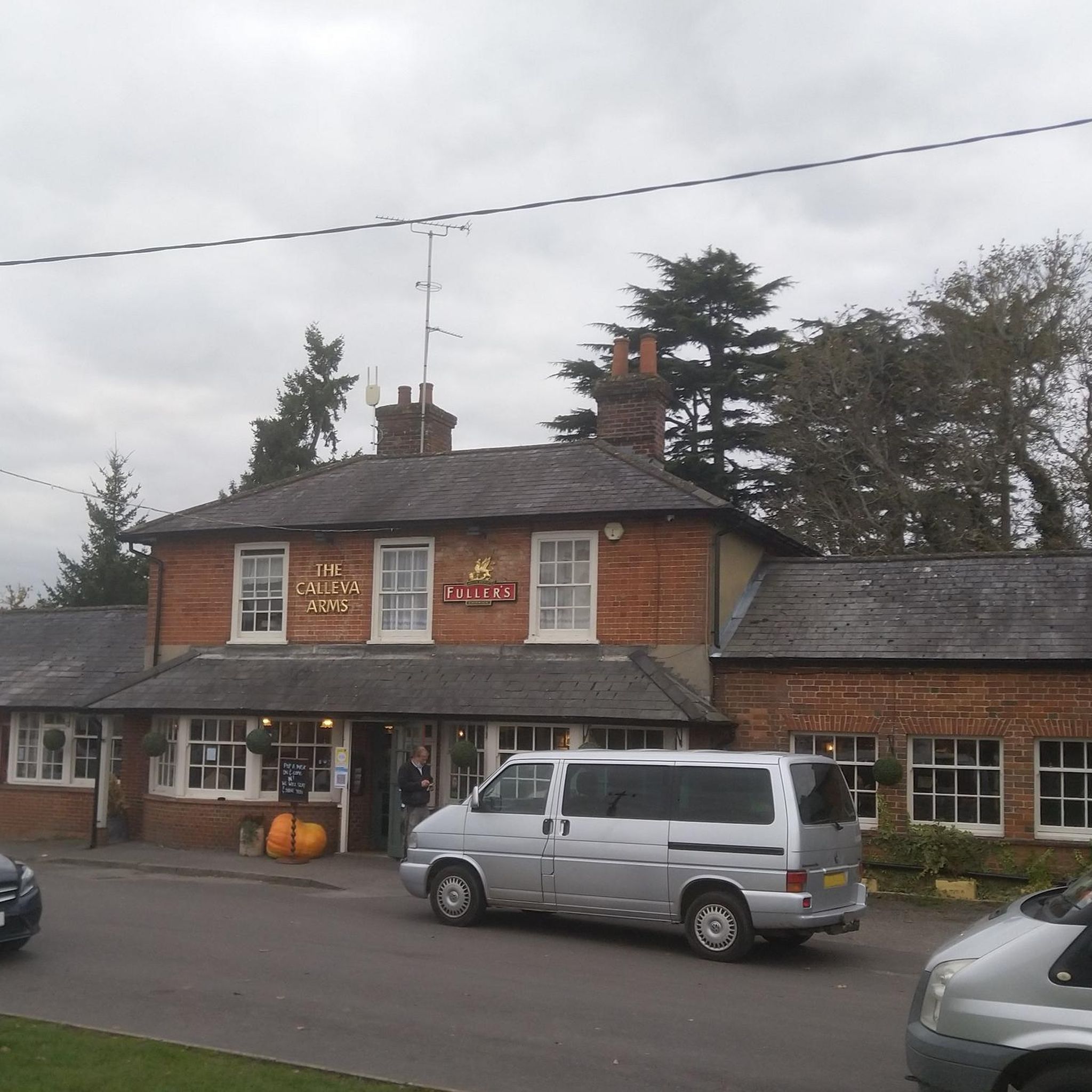
The villages and towns surrounding Silchester, such as Aldermaston, Mortimer, and Sherborne St. John, offer various pubs and cafes where you can refuel after your ride. Many routes pass through or near these settlements, providing convenient stops for refreshments or a pub lunch.
Most popular routes around Silchester
Most popular attractions around Silchester

Get inspired with the komoot mobile app


Explore more
Browse the best MTB trails in other regions.
