The best running trails around Turville
4.4
(85)
6,768
runners
355
runs
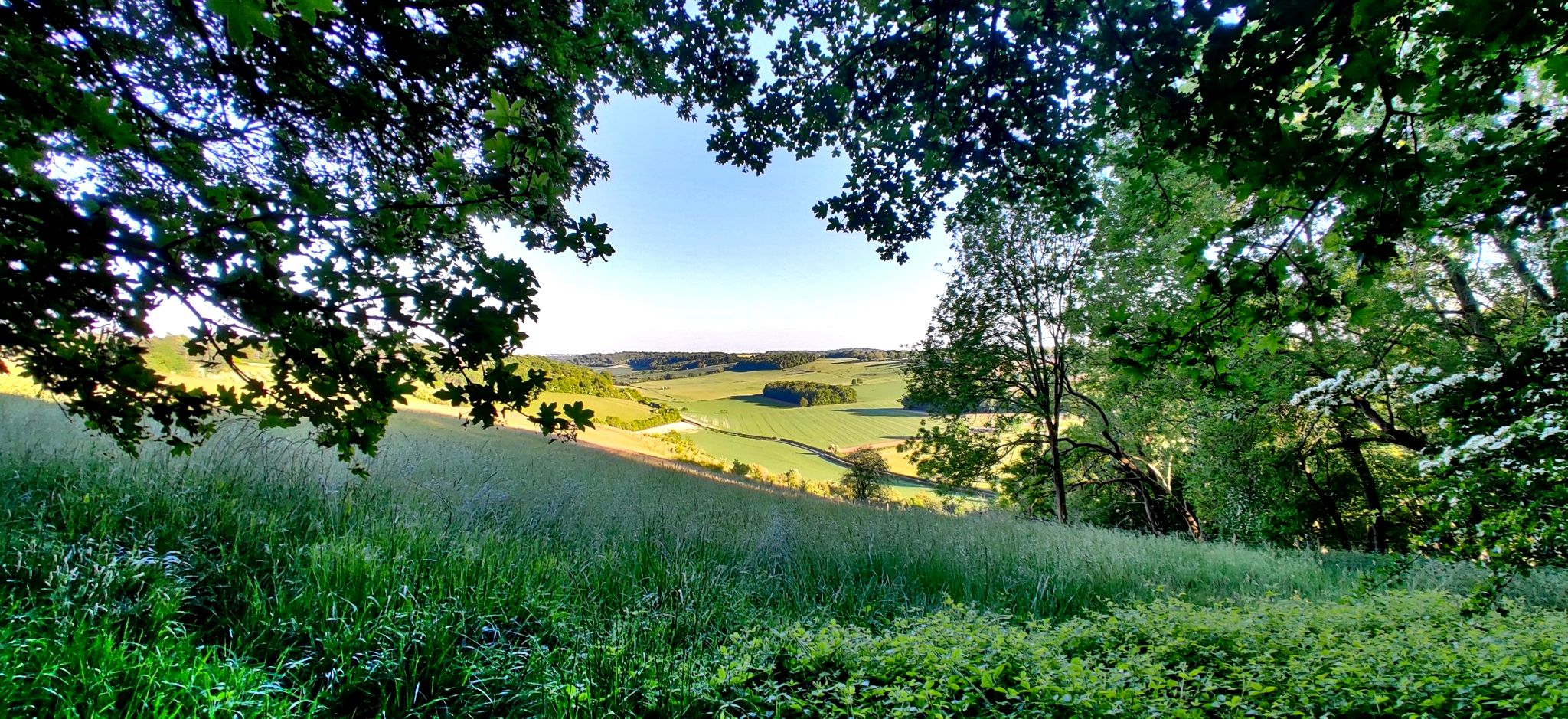
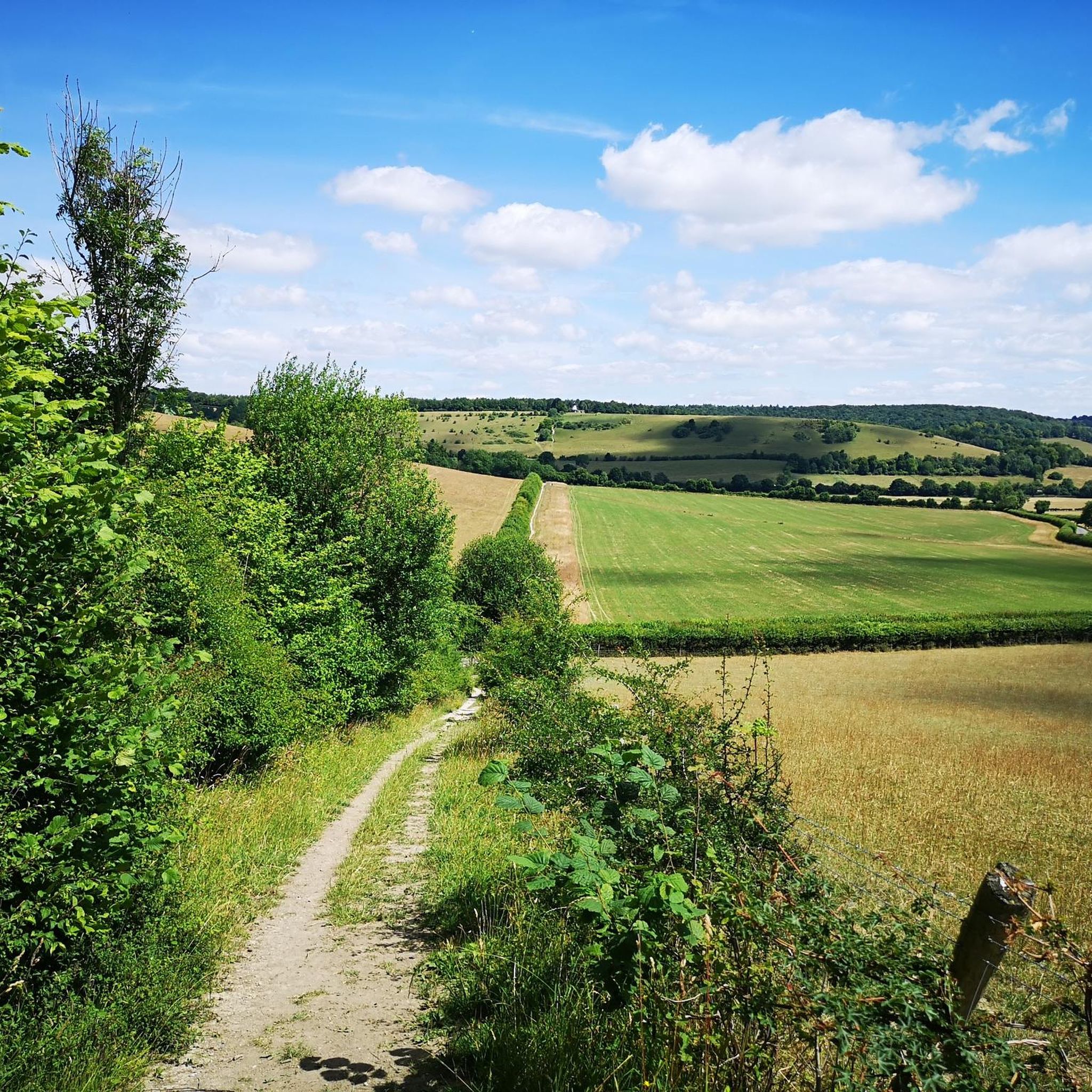
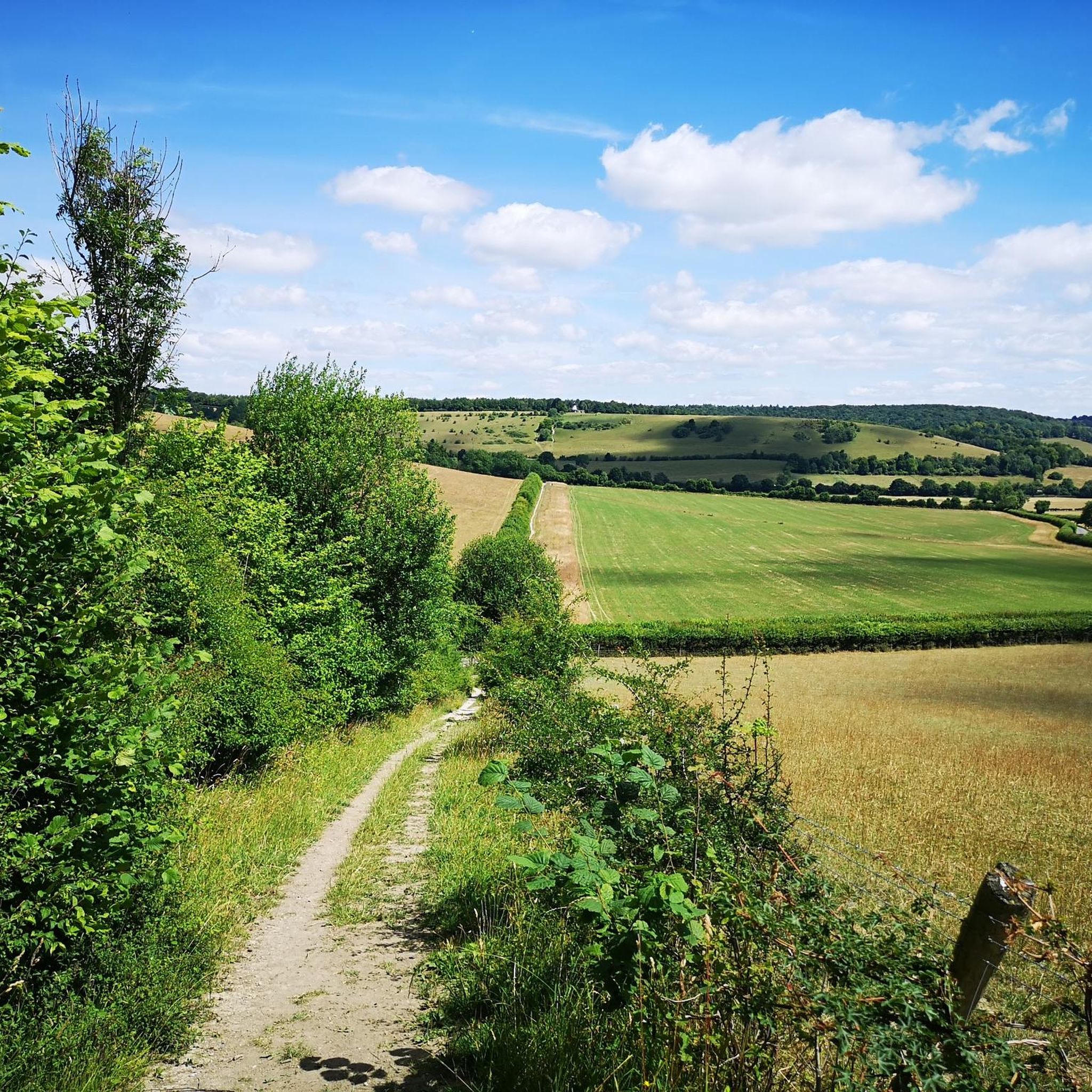
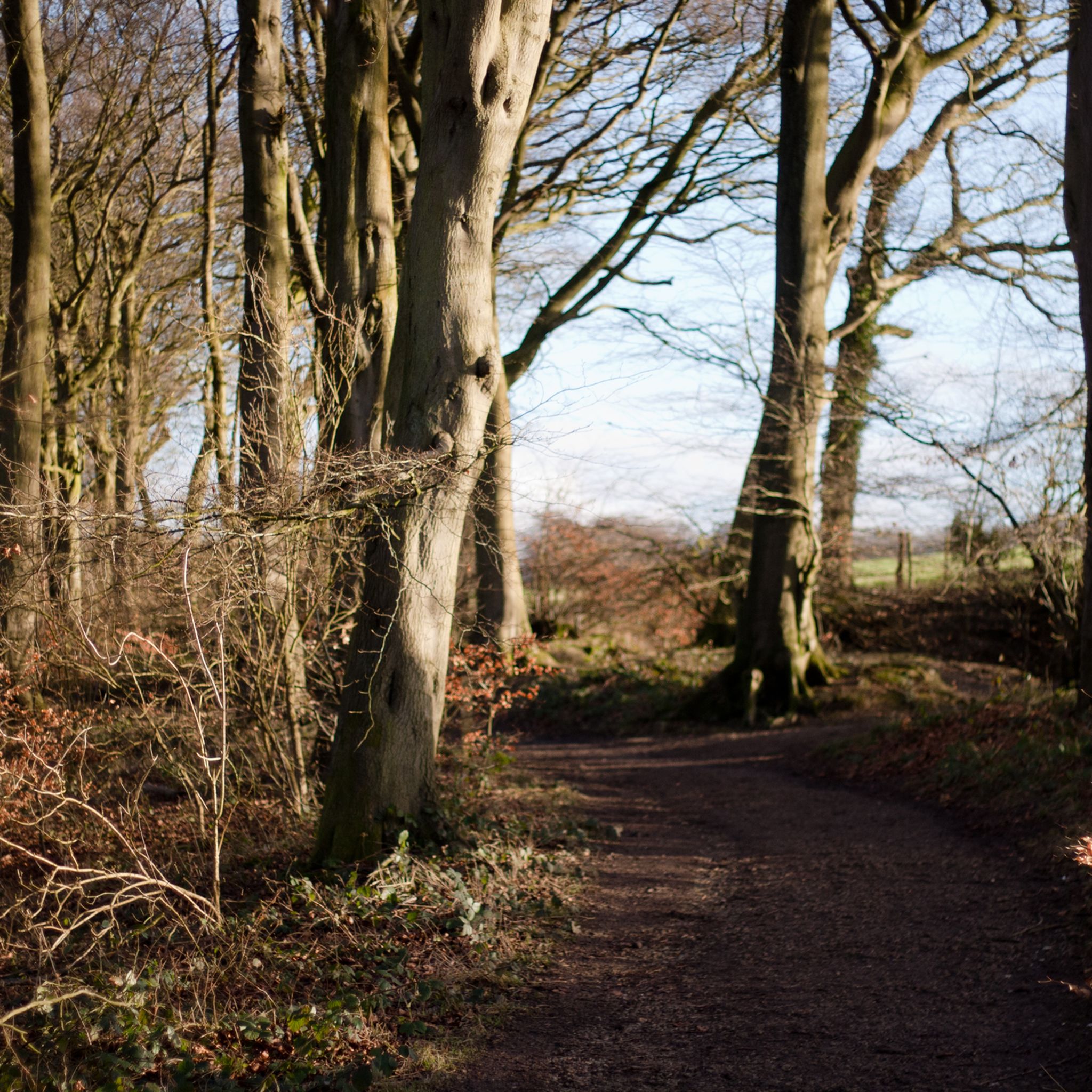
Jogging around Turville offers routes through the Chiltern Hills, characterized by rolling chalk hills, dense woodlands, and open farmland. The area features a network of paths and bridleways, providing varied terrain for runners. Elevation changes are common, with routes often traversing valleys and ascending gentle slopes. The landscape is primarily rural, with views across the Buckinghamshire countryside.
Best jogging routes around Turville
- The most popular jogging route is Oxfordshire Way Bridleway – Russell's Water Pond loop from Northend, a…
Last updated: October 9, 2026
256
runners
21.7km
02:36
470m
470m
Hard run. Very good fitness required. Mostly paved surfaces. Suitable for all skill levels.
108
runners
Moderate run. Good fitness required. Mostly paved surfaces. Suitable for all skill levels.

103
runners
Hard run. Very good fitness required. Mostly paved surfaces. Suitable for all skill levels.
4.8
(4)
57
runners
27.0km
03:21
720m
710m
Hard run. Very good fitness required. Mostly paved surfaces. Suitable for all skill levels.
55
runners
Moderate run. Good fitness required. Mostly paved surfaces. Suitable for all skill levels.
Get access to more routes and recommendations from other explorers.
Already have an account?
Our route recommendations are based on thousands of hikes, rides, and runs completed by other people on komoot.
Start today with a free account
Your next adventure awaits.
Other adventures around Turville

Tips from the Community

The Chiltern Way long distance walking path climbs up the hill from Fingest through the wood to the summit of the hill in Adam's Wood. The woodland is a nice-mixed woodland with nice views back to Fingest village. The church with its unusual double spire is easily visible.
0
0

Nice spot for a rest on the benches or to take in the history. The church has Norman origins https://astonrowant.wordpress.com/pishill-church/
0
0

The Horses have loosened up the ground which made riding up this section very difficult 😐
0
0

Soaring countryside views across the Chilterns from Mousells Wood.
0
0
Had to push our bikes up this long steep climb !
1
0

Wonderful drop into a mini valley but be warned - you’ll pay the price coming out of it on the other side! Hold onto your butts!
1
0

Great Circular walks from this village....very flat as well
0
0

Along the line of Lime Trees planted by White Pond farm
0
0
Frequently Asked Questions
How many running routes are available around Turville?
There are over 360 running routes around Turville, offering a wide range of options for all abilities through the Chiltern Hills.
Are there easy jogging paths for beginners in Turville?
Yes, Turville offers 23 easy jogging routes. These paths typically feature gentler slopes and less challenging terrain, perfect for those new to running or looking for a relaxed outing.
What kind of terrain can I expect on running trails near Turville?
Running routes around Turville primarily traverse the Chiltern Hills, characterized by rolling chalk hills, dense woodlands, and open farmland. You'll find a network of paths and bridleways, often with elevation changes as routes ascend gentle slopes and cross valleys.
Are there any circular running routes in Turville?
Many of the running routes in Turville are circular, allowing you to start and finish at the same point. For example, the Crocker End Countryside Walk – Warburg Nature Reserve Trail loop from Pishill with Stonor is a moderate 6.6-mile loop offering a mix of forest trails and countryside views.
Can I find long-distance running trails near Turville?
Absolutely. Turville is home to several challenging long-distance routes. The Oxfordshire Way Bridleway – Russell's Water Pond loop from Northend is a difficult 13.5-mile trail with significant elevation gain, ideal for experienced runners seeking a longer challenge.
What do other runners enjoy most about jogging in Turville?
The running trails in Turville are highly rated by the komoot community, with an average score of 4.4 stars from over 50 reviews. Runners often praise the varied terrain, the beautiful Chilterns scenery, and the well-maintained network of paths and bridleways.
Are there any scenic viewpoints or natural attractions along the running routes?
Yes, the area offers several natural attractions. You might encounter highlights like Russell's Water Pond, which is part of a popular loop, or explore areas like Watlington Hill and Cowleaze Wood Bluebells, especially beautiful in spring.
Are there any running routes that pass through nature reserves?
Yes, several routes incorporate nature reserves. The Warburg Nature Reserve – Oxfordshire Way Bridleway loop from Pishill with Stonor is a 10.3-mile trail that leads through varied terrain, including parts of the Warburg Nature Reserve, offering a chance to experience local wildlife.
Are there any particularly challenging running routes for experienced athletes?
For those seeking a significant challenge, the Chequers Lane Waterway – Dolesden Lane loop from Pishill with Stonor is a difficult 16.8-mile route with over 700 meters of elevation gain, providing a strenuous workout through the demanding Chilterns landscape.
Can I find running routes that feature lakes or ponds?
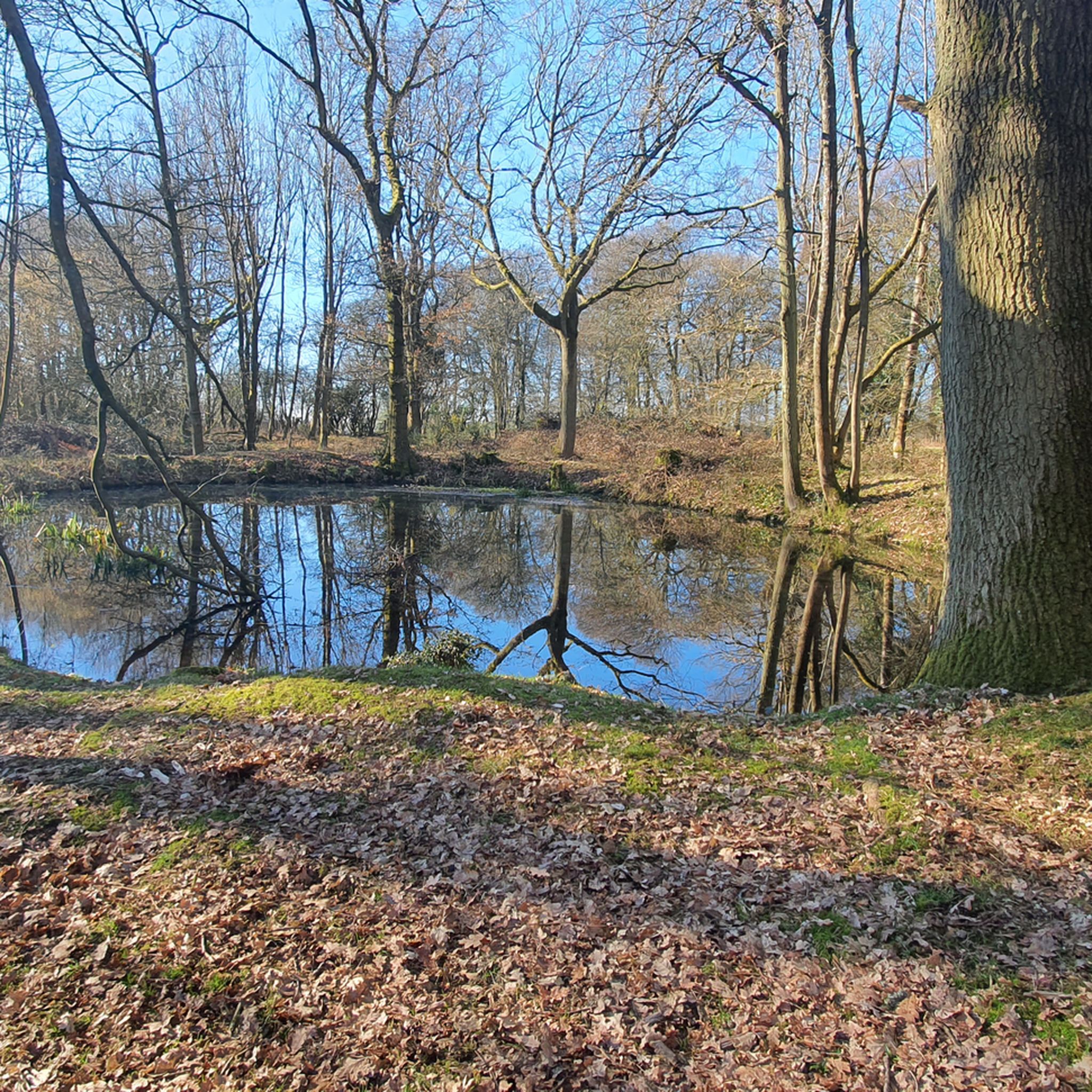
Yes, some routes will take you past local water features. For instance, the Russell's Water Pond – Oxfordshire Way Bridleway loop from Pishill with Stonor is a moderate 8-mile route that includes the scenic Russell's Water Pond.
What is the best time of year for jogging in Turville?
The Chiltern Hills offer beautiful scenery year-round. Spring brings wildflowers, especially bluebells in woodlands, while autumn showcases vibrant foliage. Summer is pleasant for early morning or late evening runs, and even winter can be enjoyable on crisp, clear days, though some paths may be muddy.
Most popular routes around Turville
Most popular attractions around Turville

Get inspired with the komoot mobile app


Explore more
Browse the best Running Trails & Routes in other regions.
