The best mountain hikes around Vorchdorf
4.7
(46)
753
hikers
21
hikes
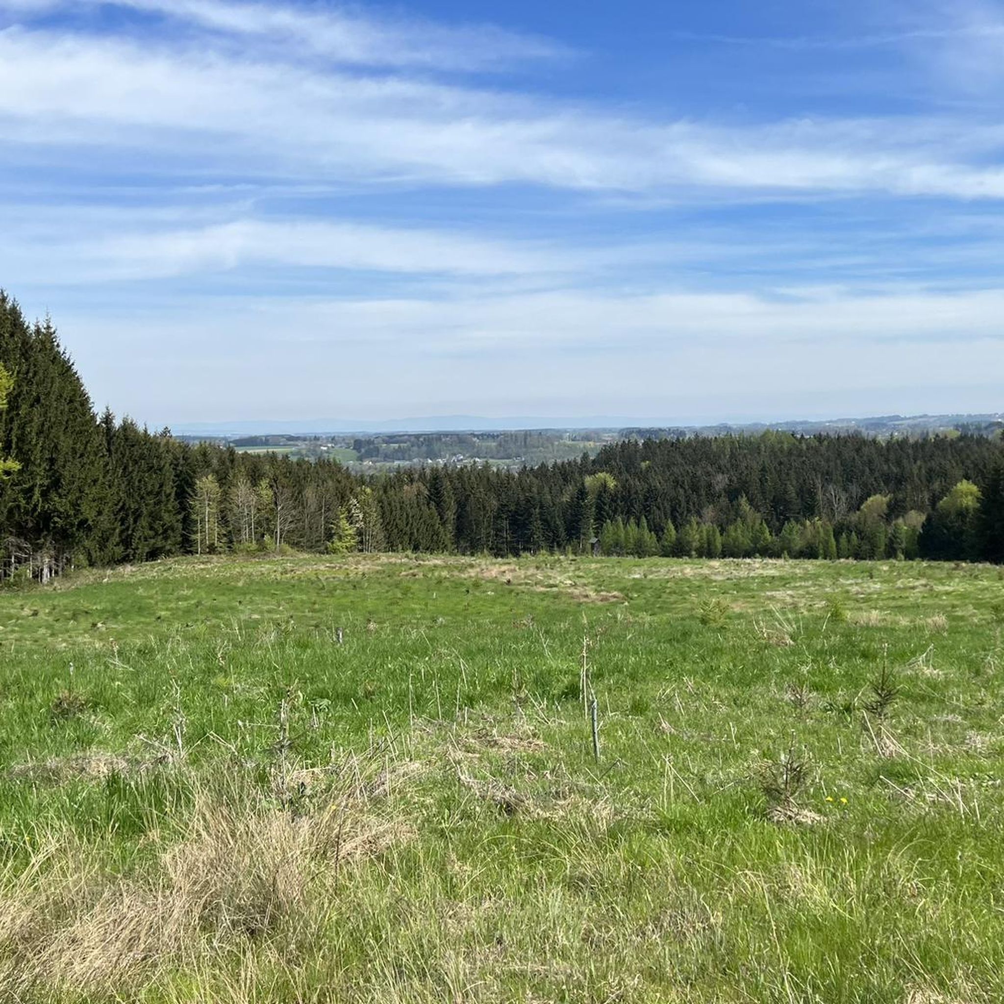
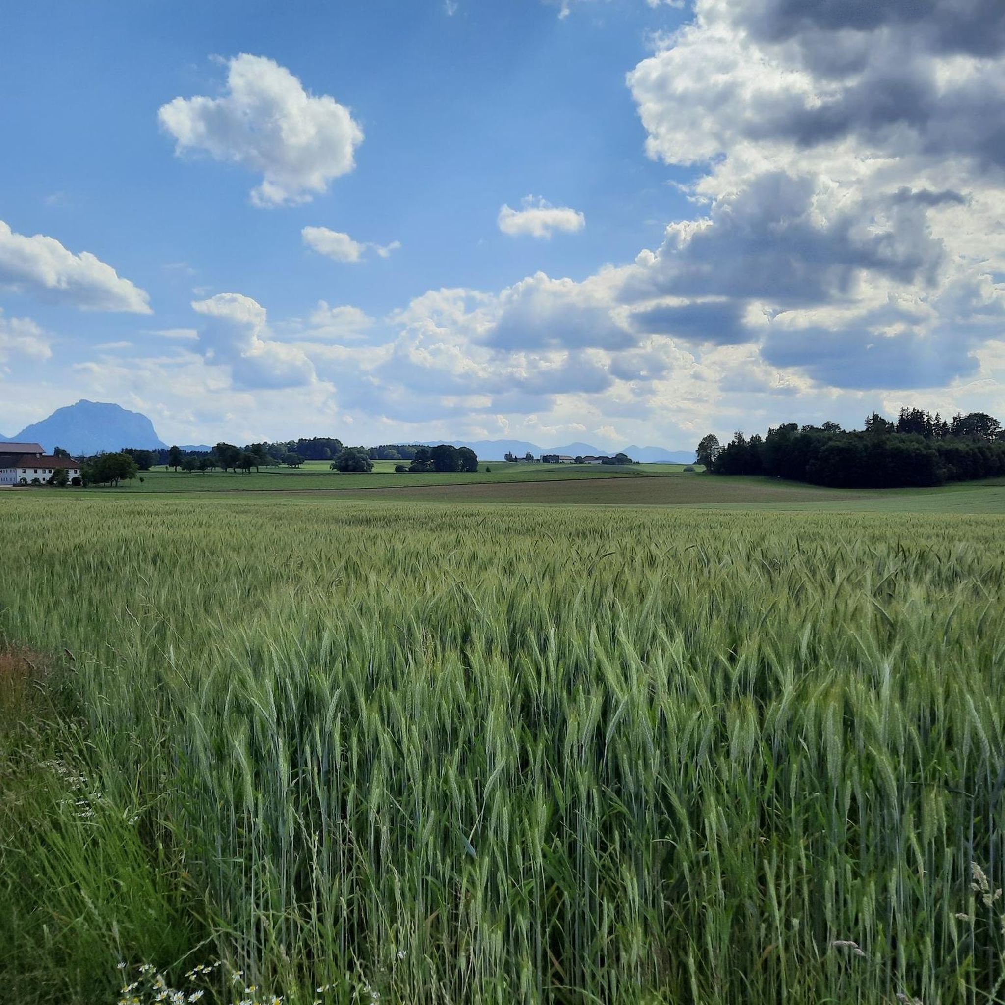
Mountaineering around Vorchdorf offers access to diverse natural landscapes, serving as a gateway to the Salzkammergut region. The area provides panoramic views of the Höllengebirge range, Traunstein peak, Totes Gebirge massif, and Sensengebirge mountains. The landscape is characterized by prominent peaks like Hochsalm and Maisenkögerl, alongside the scenic Traunsee lake and extensive forested regions. These features create varied terrain for mountaineering routes.
Best mountaineering routes around Vorchdorf
- The most popular mountaineering route is Hochsalm – Hutkogel loop from Scharnstein,…
Last updated: July 1, 2026
4.6
(5)
78
hikers
7.69km
03:47
590m
590m
Moderate mountaineering route. Good fitness required. Mostly accessible paths. Sure-footedness required.
5.0
(2)
66
hikers
7.97km
03:30
620m
620m
Hard mountaineering route. Good fitness required. Sure-footedness, sturdy shoes and alpine experience required.

Sign up for free
56
hikers
8.66km
04:13
800m
800m
Moderate mountaineering route. Good fitness required. Mostly accessible paths. Sure-footedness required.
4.8
(5)
40
hikers
12.6km
04:42
750m
750m
Hard mountaineering route. Good fitness required. Sure-footedness, sturdy shoes and alpine experience required.
4.3
(3)
35
hikers
9.84km
04:58
830m
830m
Hard mountaineering route. Good fitness required. Sure-footedness, sturdy shoes and alpine experience required.
Get access to more routes and recommendations from other explorers.
Sign up for free
Already have an account?
Our route recommendations are based on thousands of hikes, rides, and runs completed by other people on komoot.
Start today with a free account
Your next adventure awaits.
Login or Signup
Other adventures around Vorchdorf

Tips from the Community

„Over the hills and over the mountains I sing and I call, how happy I am: Sunny weather, rustling leaves, birdsong, Joyful life on foot with the walking stick up and down the mountains.“ (August Heinrich Hoffmann von Fallersleben)
0
0

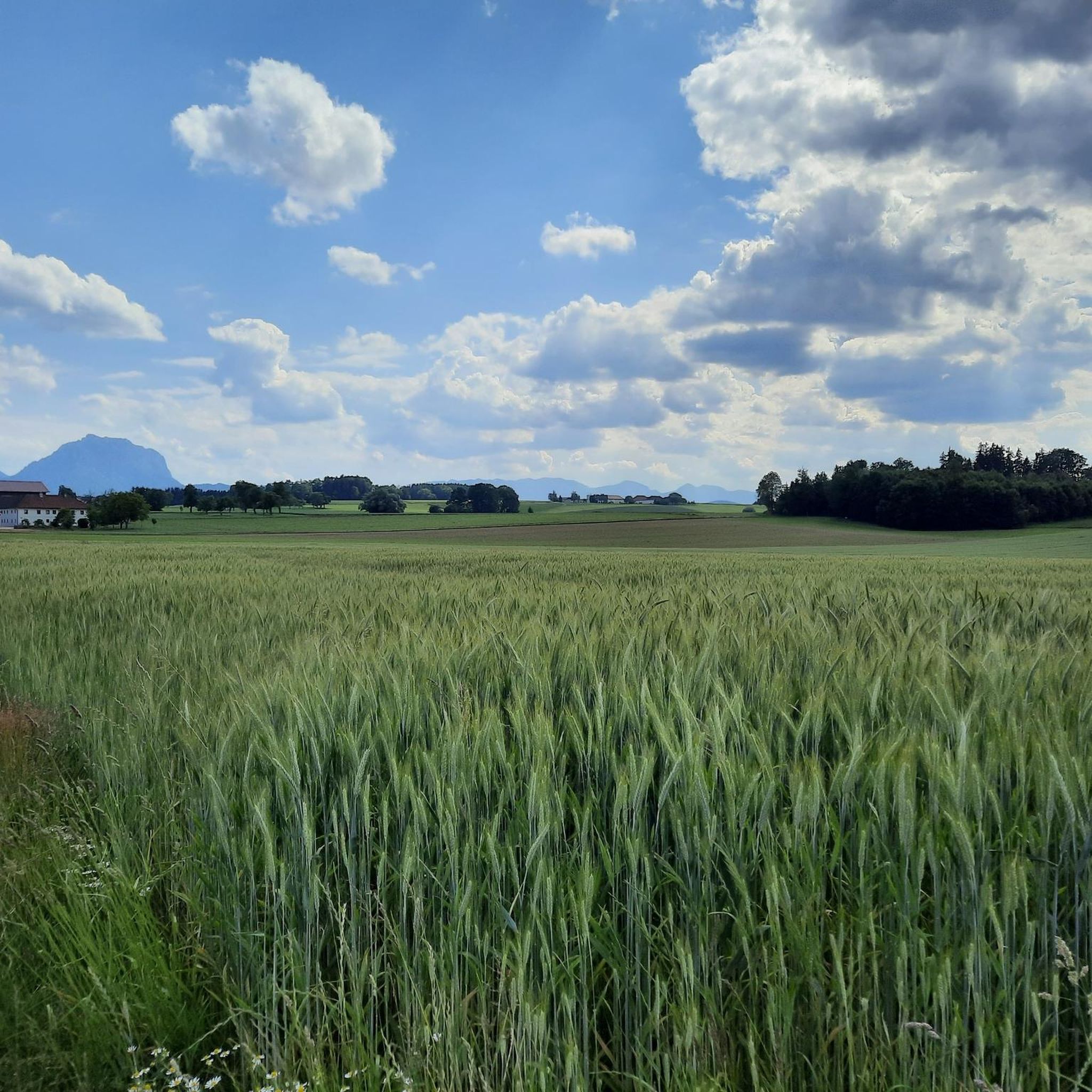
Beautiful view of the Traunstein and the Totes Gebirge.
6
0

There's a story 😊 According to a local hiker... A local nicknamed Jackson discovered that the peak had no name, hence the name Jacksonstein. Jackson or his friends also took care of the schnapps in the summit book... That's how it's been handed down 😉 Berg Heil🏔️
1
0

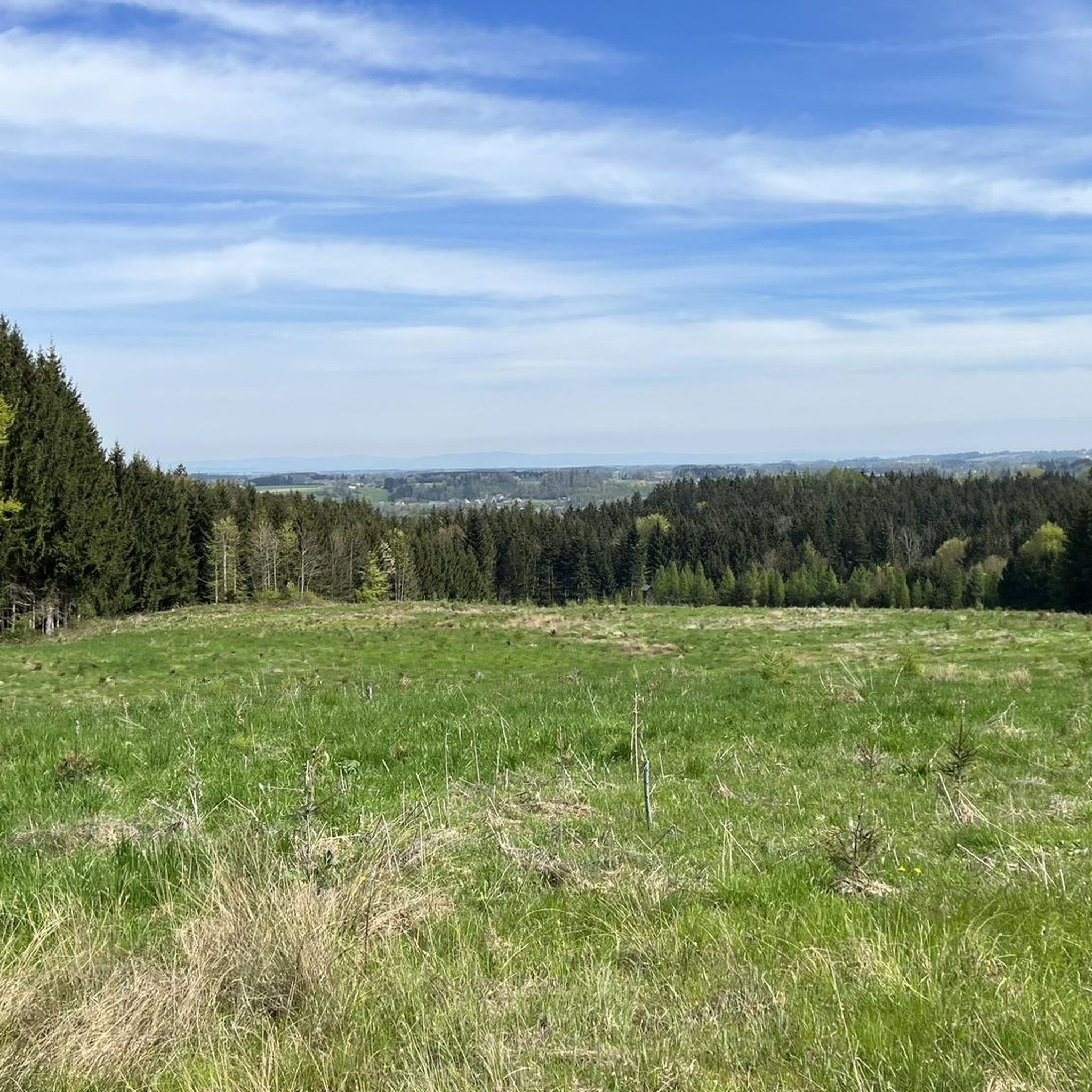
Small hill with a beautiful view towards Ziehberg. Suitable for children.
0
0

Great view of the Traunstein and the surrounding area. If you walk quickly, you can reach the summit in 1 hour. The path from the summit to the right further down is partly overgrown but recognizable (waterproof shoes are an advantage if you are out and about in the morning...wet, tall grass)
1
0

On the way to Hochsalm you absolutely have to climb the Hutkogel. Beautiful little mountain with a view.
0
0
There has been a new summit cross on the Hochsalm since 2023
6
0

A great vantage point with a summit cross, lg Crawallo
0
2
Frequently Asked Questions
How many mountaineering routes are available around Vorchdorf?
There are over 20 mountaineering routes around Vorchdorf, offering a diverse range of experiences. The komoot community has explored 21 tours in total, providing options for various skill levels.
What is the general difficulty level of mountaineering routes in Vorchdorf?
Mountaineering routes in Vorchdorf cater to a range of abilities. While there are no easy routes listed, you'll find 6 moderate routes and 15 difficult routes. This means many tours require good fitness, sure-footedness, sturdy shoes, and alpine experience, often rated SAC 4-6.
What do other mountaineers say about the routes in Vorchdorf?
The mountaineering routes around Vorchdorf are highly regarded by the komoot community, boasting an average rating of 4.7 stars from over 40 reviews. Many users appreciate the diverse terrain and the stunning panoramic views of the surrounding mountain ranges like the Höllengebirge and Traunstein peak.
When is the best time of year for mountaineering in Vorchdorf?
The region is generally excellent for mountaineering during the warmer months, offering clear paths and pleasant conditions. However, the area also supports winter activities like ski tours and snowshoeing, organized by groups like Naturfreunde Vorchdorf, so conditions vary seasonally.
Are there any circular mountaineering routes in the Vorchdorf area?
Yes, several circular routes are available. For example, the Schrattenau Spring – Steineck loop from St. Konrad is a challenging 12.8 km tour. Another option is the Maisenkögerl – Hochsalm loop from Scharnstein, a difficult 9.7 km route that takes you to two prominent summits.
Are there family-friendly mountaineering options near Vorchdorf?
While many routes are rated moderate to difficult, the region offers a variety of hiking options, from easy walks to more challenging mountain tours. For families, it's best to look for routes described as 'easy walks' or those with less elevation gain, which might be found along the Almuferweg by the Alm river, though specific mountaineering routes might be too demanding for young children.
What natural features or landmarks can I see while mountaineering around Vorchdorf?
Mountaineering in Vorchdorf offers breathtaking views of the Höllengebirge range, Traunstein peak, and Totes Gebirge massif. You can also reach prominent summits like Hochsalm Summit, which features a new summit cross, or Maisenkögerl Summit. The picturesque Traunsee lake is also a significant natural attraction in the vicinity.
Are there any waterfalls along the mountaineering routes?
Yes, the impressive Traunfall Waterfall is a notable natural spectacle in the region. While partly modified for hydroelectric power, it remains a striking sight and can be incorporated into your outdoor plans around Vorchdorf.
Are there specific summits I can aim for during a mountaineering tour?
Absolutely. The region is home to several notable peaks. You can ascend to Hochsalm Summit, Maisenkögerl Summit, or Perneckerkogel Summit. Each offers unique views and a rewarding challenge.
What kind of terrain can I expect on mountaineering routes in Vorchdorf?
The terrain around Vorchdorf is quite varied, ranging from extensive forested regions like the 'Forest Area Near Reuharting' to more exposed alpine sections. You'll encounter paths with significant elevation gain, rocky sections, and sometimes challenging ascents, especially on routes rated as 'difficult'.
Are there any specific climbing facilities or opportunities in Vorchdorf?
Yes, Vorchdorf supports climbing enthusiasts through the dedicated efforts of Naturfreunde Vorchdorf. They maintain a local climbing hall with 450 m² of climbing and bouldering area, including an outdoor climbing tower that is 14m high, offering excellent facilities for both indoor and outdoor climbing.
What are some of the prominent mountain ranges visible from Vorchdorf?
From Vorchdorf, you can enjoy uninterrupted panoramic views of several majestic mountain ranges. These include the **Höllengebirge range**, the iconic **Traunstein peak**, the expansive **Totes Gebirge massif**, and the **Sensengebirge mountains**, providing a stunning backdrop to your adventures.
Most popular routes around Vorchdorf
Most popular attractions around Vorchdorf

Get inspired with the komoot mobile app


Explore more
Browse the best Mountain Hikes & Routes in other regions.
