The best running trails around Sankt Martin im Mühlkreis
4.1
(24)
633
runners
45
runs
Jogging routes Sankt Martin im Mühlkreis traverse a varied landscape characterized by rolling hills, lush forests, and river valleys. The region is situated between the expansive Danube River and the gentle hills of the Mühlviertler highlands, offering diverse terrain for running. Joggers can experience serene river scenery along the Danube and more challenging, undulating paths through the Mühlviertler Highlands. The area's geological heritage, with its granite formations, also adds unique visual interest to many trails.
Best jogging routes around Sankt…
Last updated: July 13, 2026
4.7
(6)
188
runners
21.1km
02:11
130m
130m
Hard run. Very good fitness required. Mostly paved surfaces. Suitable for all skill levels.
5.0
(1)
140
runners
14.6km
01:36
240m
240m
Moderate run. Good fitness required. Mostly paved surfaces. Suitable for all skill levels.

Sign up for free
26
runners
6.02km
00:39
100m
100m
Moderate run. Good fitness required. Mostly paved surfaces. Suitable for all skill levels.
25
runners
7.22km
00:47
130m
130m
Moderate run. Good fitness required. Mostly paved surfaces. Suitable for all skill levels.
19
runners
5.82km
00:39
130m
130m
Moderate run. Good fitness required. Mostly paved surfaces. Suitable for all skill levels.
Get access to more routes and recommendations from other explorers.
Sign up for free
Already have an account?
Our route recommendations are based on thousands of hikes, rides, and runs completed by other people on komoot.
Start today with a free account
Your next adventure awaits.
Login or Signup
Popular around Sankt Martin im Mühlkreis

Danube Trail – Legendary long-distance hiking along the Danube River
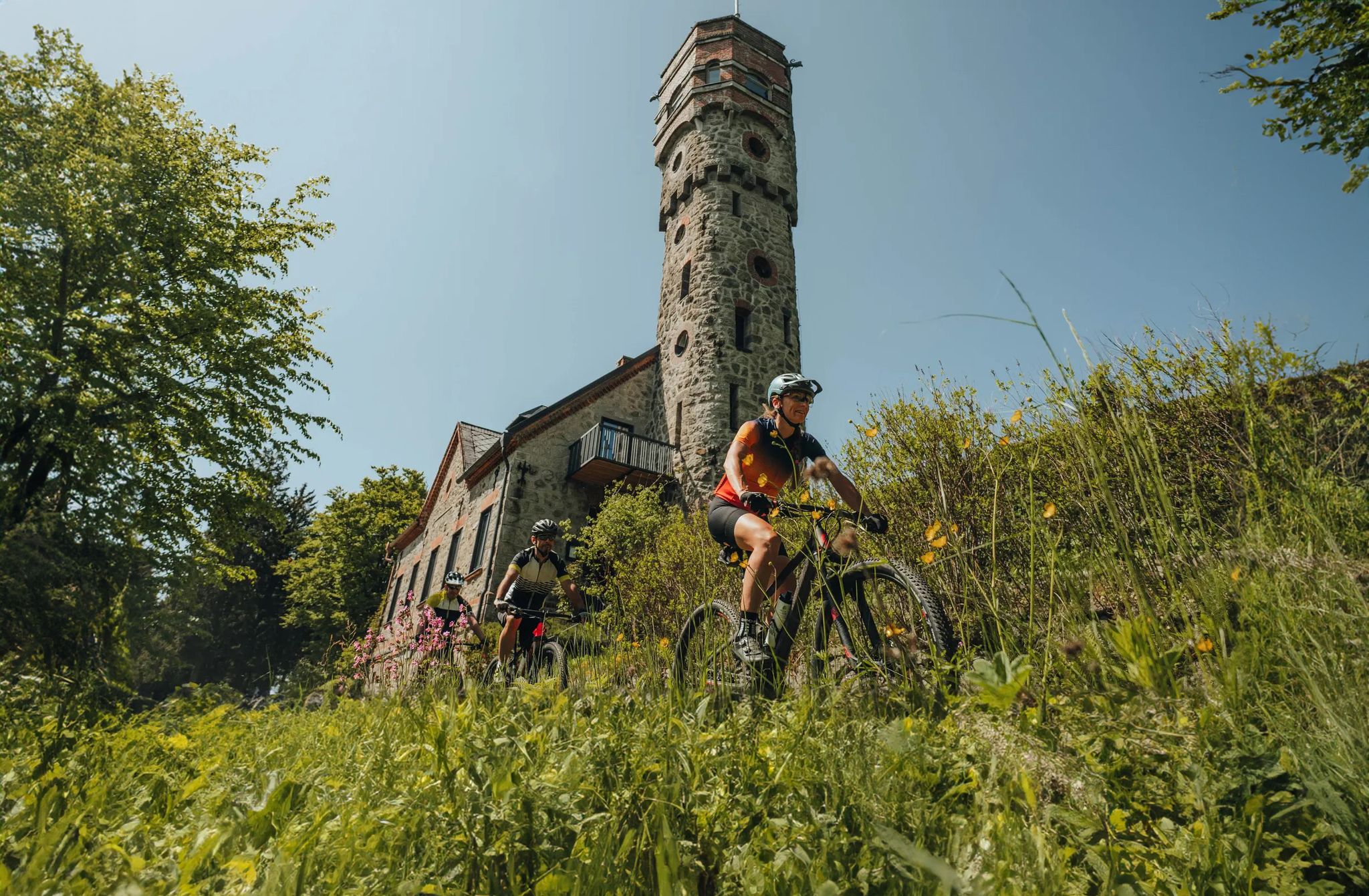
Forests, hamlets and water – bike on the Granit-Bier-Runde

E-bike Tours in the Danube region in Upper Austria

Simply amazing – 13 hikes along the Donausteig
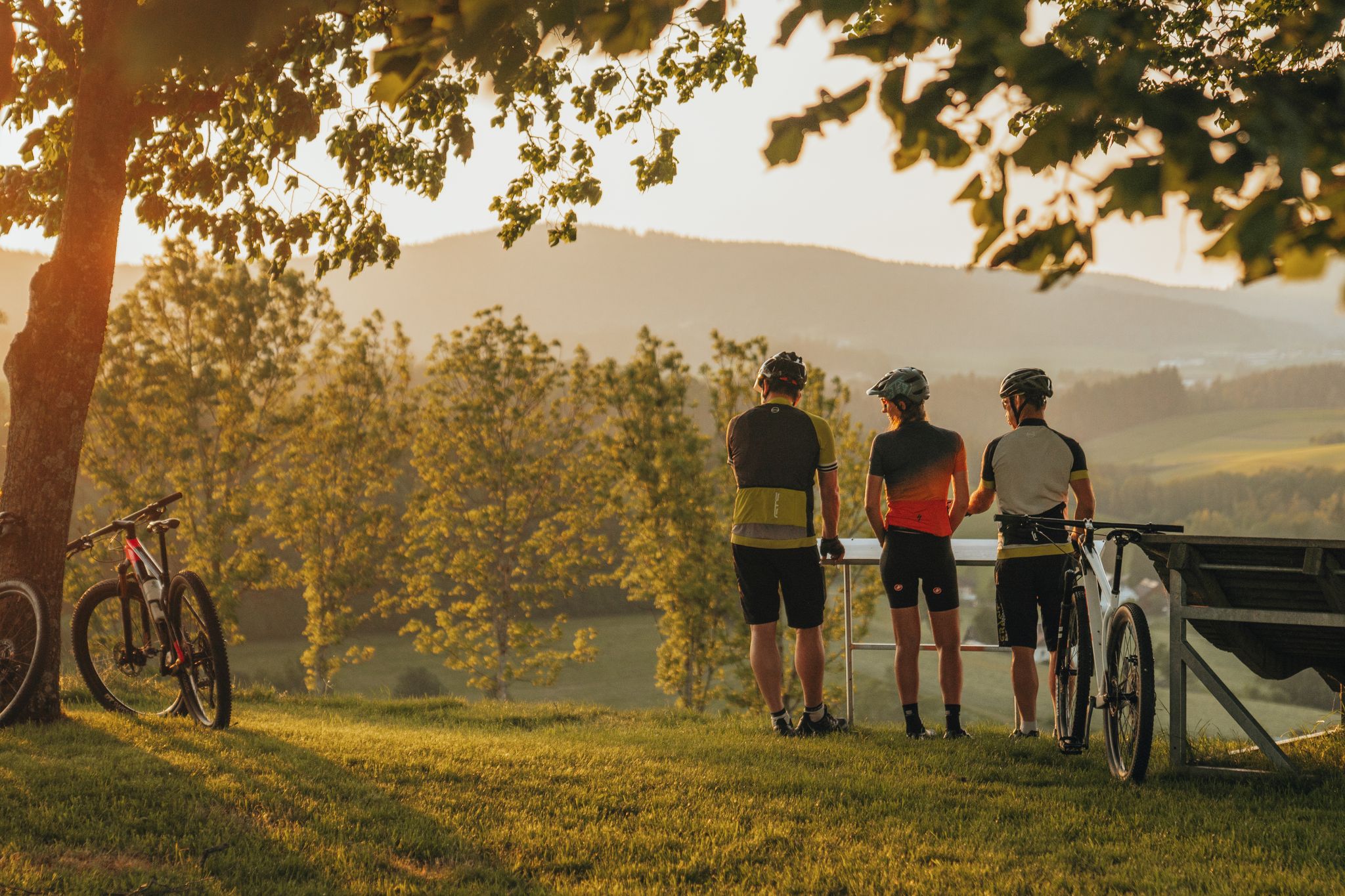
Biken auf der Grande Granit-Runde
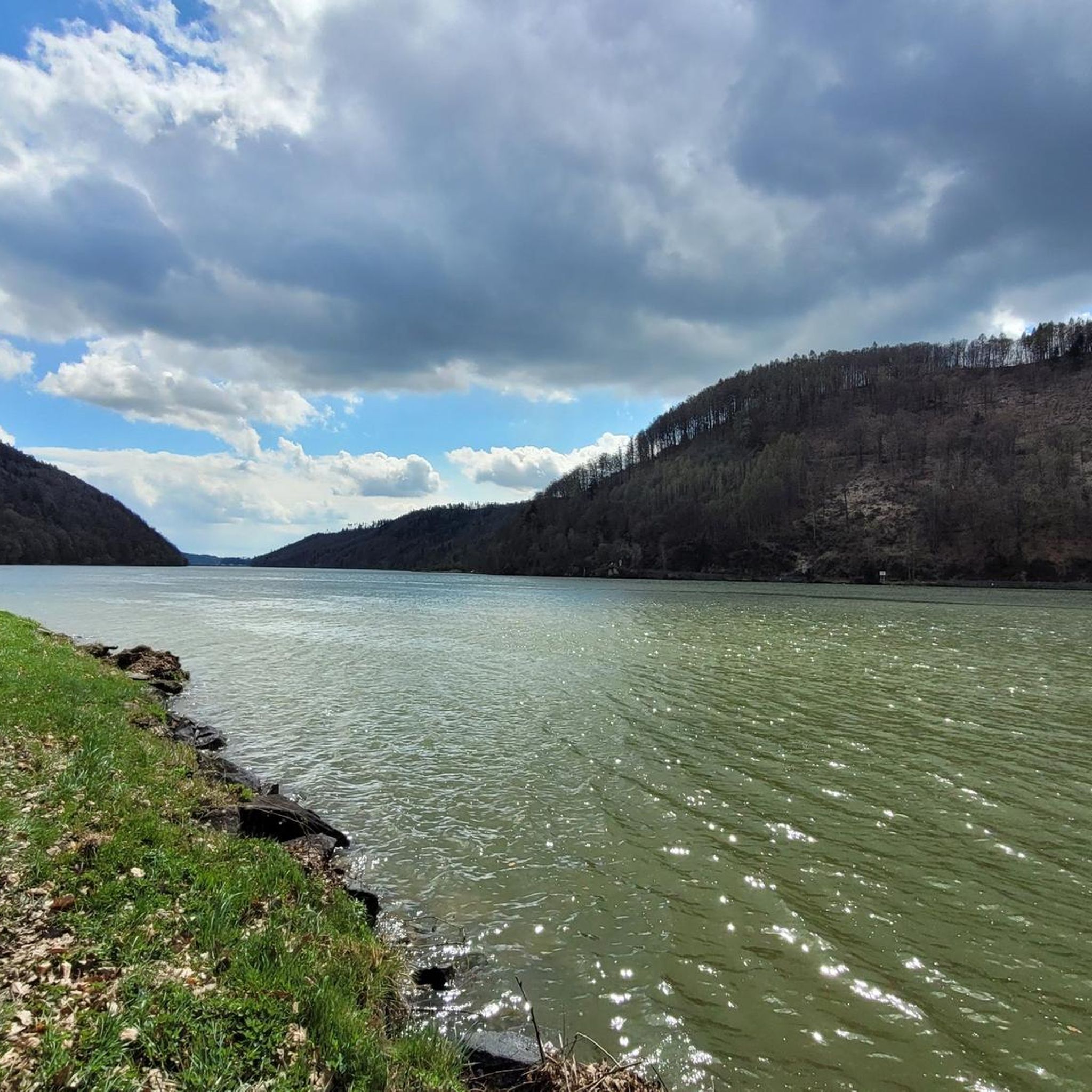
Road Cycling Routes around Sankt Martin im Mühlkreis
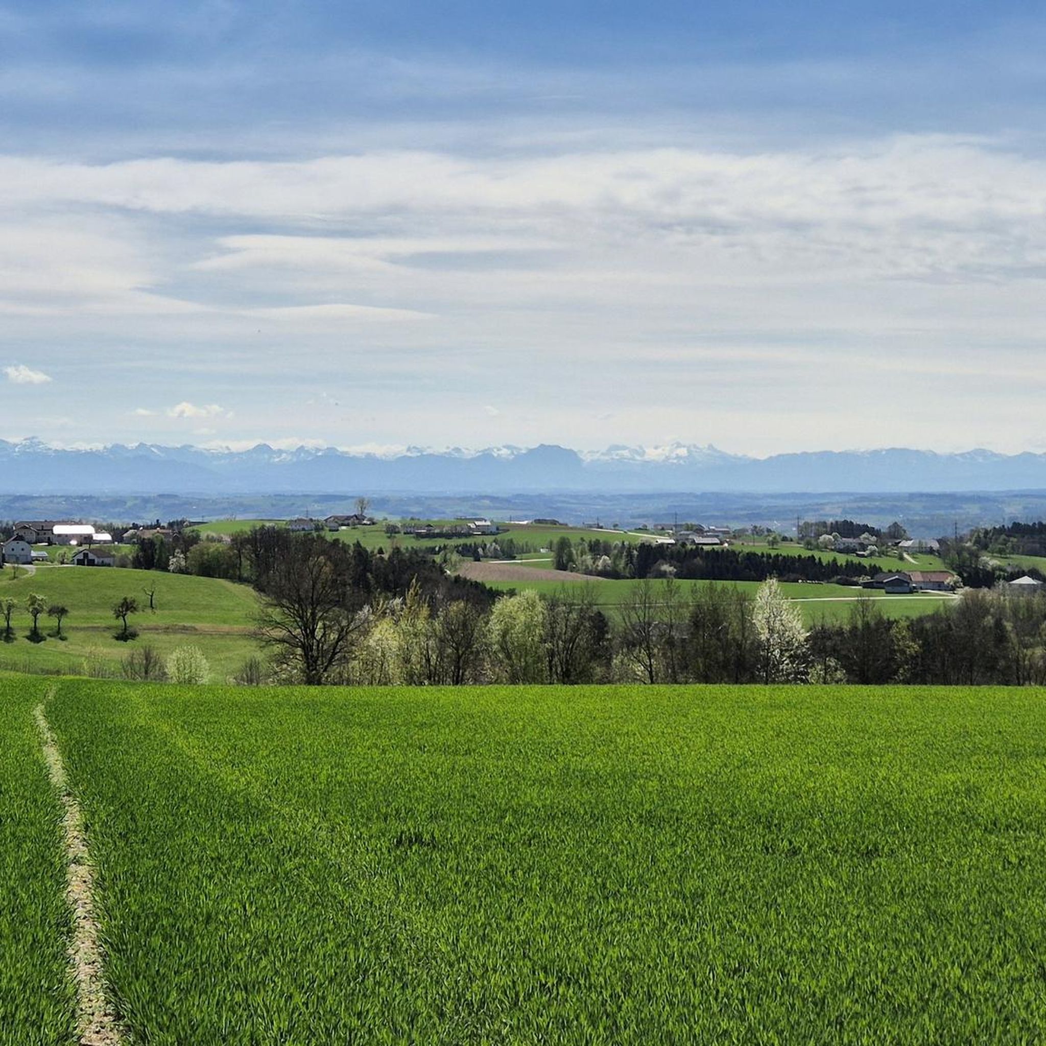
Hiking around Sankt Martin im Mühlkreis
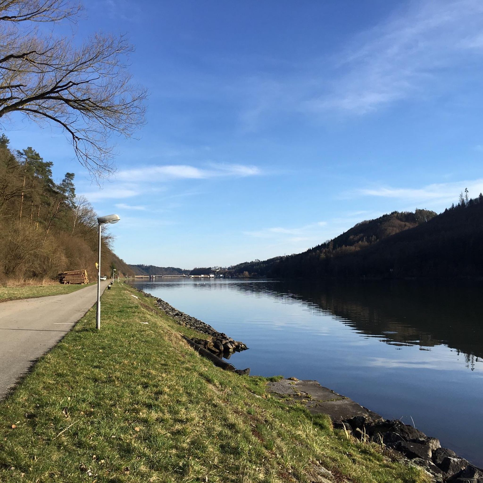
Cycling around Sankt Martin im Mühlkreis
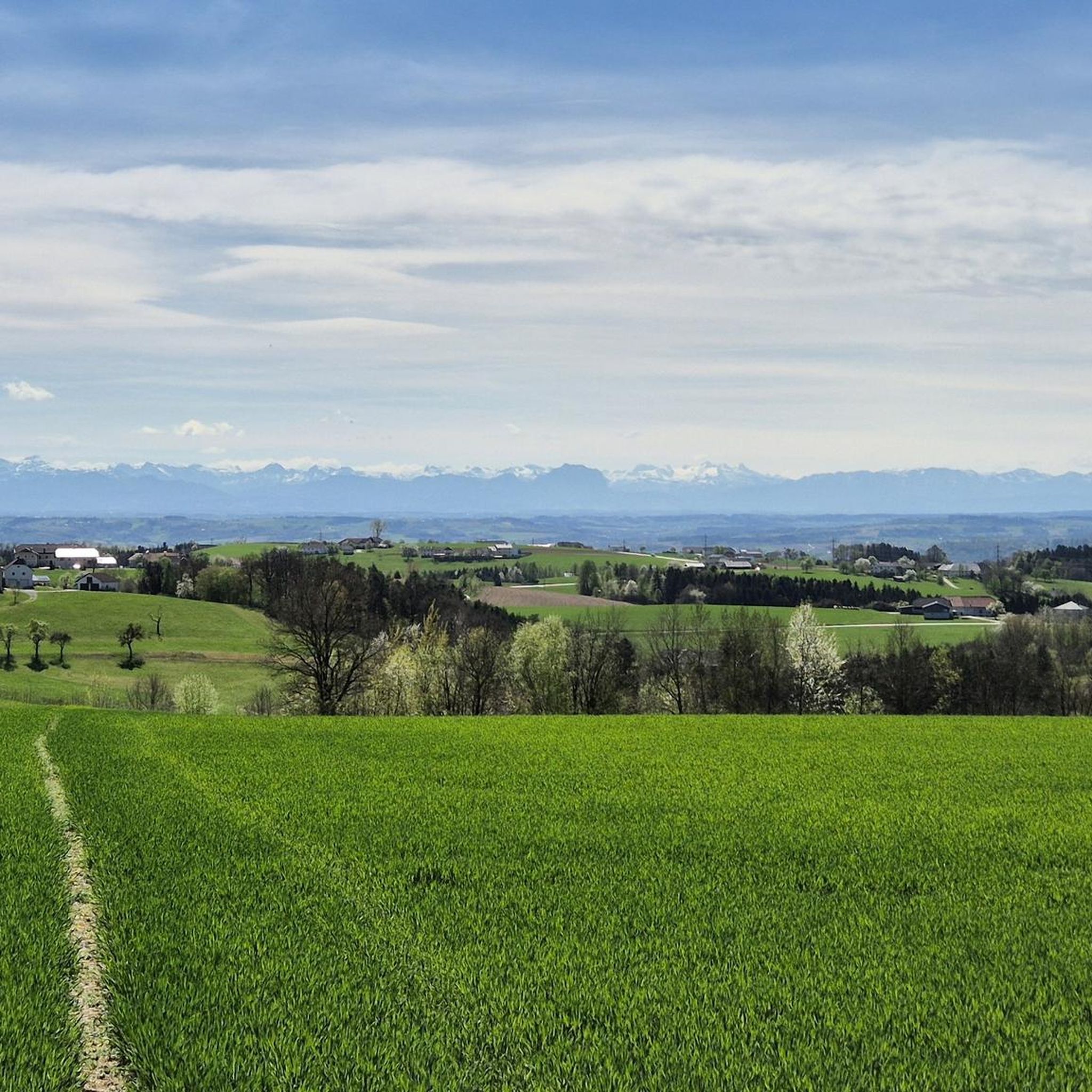
MTB Trails around Sankt Martin im Mühlkreis
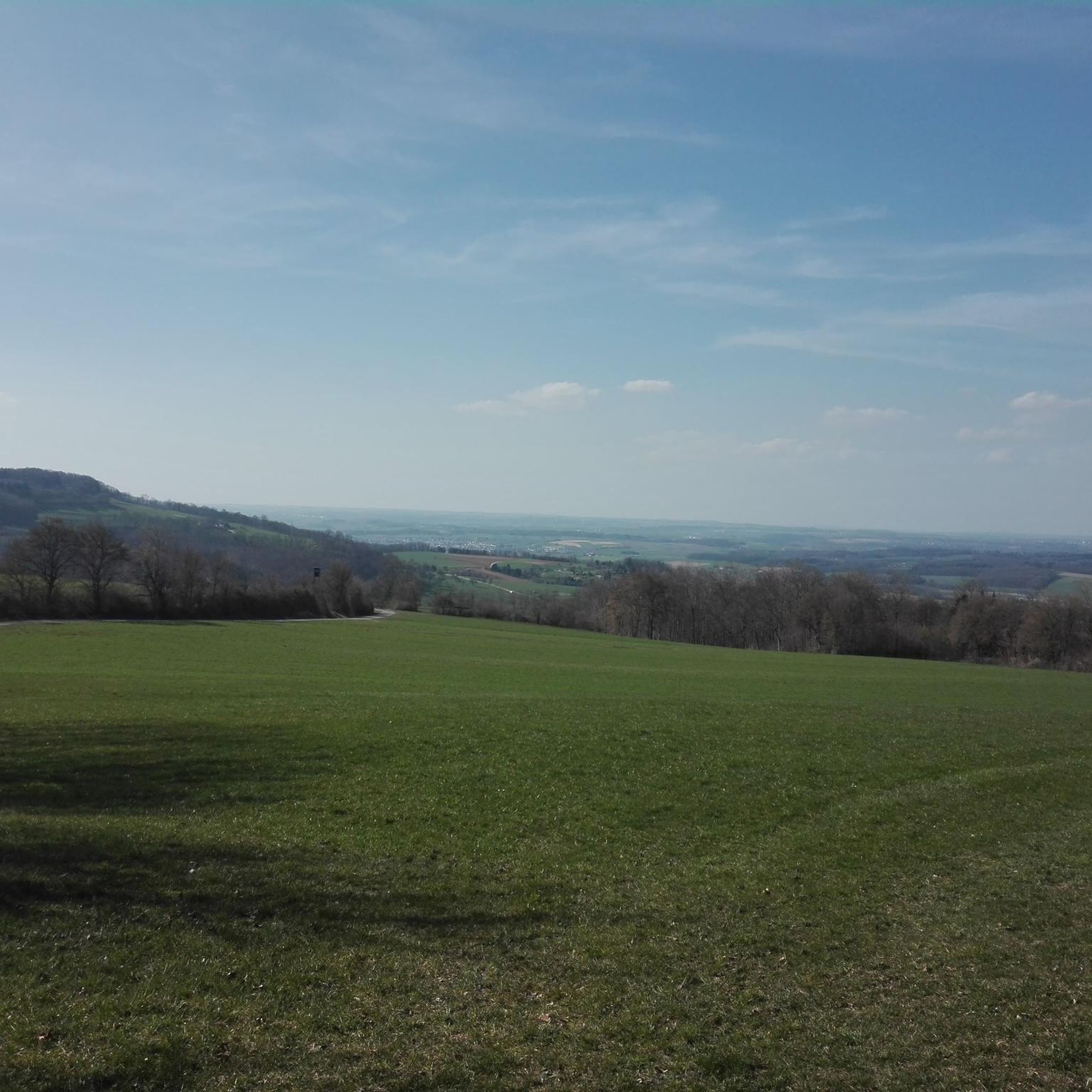
Gravel biking around Sankt Martin im Mühlkreis
Other adventures around Sankt Martin im Mühlkreis


Tips from the Community

The Kerzenstein is a striking natural monument in the idyllic Pesenbach Valley. A vertical granite rock, its shape reminiscent of a candle—hence its name.
1
0

KERZENSTEIN, PATH AB Mitte closed after the rains
1
0


The Candlestone Round is also nice to do in winter
2
0

It's worth taking a break here to enjoy the view of the Candlestone.
2
0

Very nice route with almost no traffic!😊
2
0

Very nice old spoke at the ferry terminal in Obermühl. Hopefully the memory will be preserved permanently.
1
0

The ferries go on call. Please note travel times.
1
0
Frequently Asked Questions
How many running routes are available in Sankt Martin im Mühlkreis?
Sankt Martin im Mühlkreis offers a wide selection of running routes, with over 45 trails available for you to explore. These routes cater to various fitness levels, from easy loops to more challenging long-distance paths.
What kind of terrain can I expect on the running trails around Sankt Martin im Mühlkreis?
The running trails in Sankt Martin im Mühlkreis feature a diverse landscape. You'll encounter rolling hills, lush forests, and scenic river valleys. The region is characterized by its position between the expansive Danube River and the gentle Mühlviertler highlands, offering both serene river scenery and undulating, more challenging paths. The area's unique granite formations also add visual interest to many trails.
Are there any easy or beginner-friendly jogging routes in the area?
Yes, there are routes suitable for beginners. While most routes are moderate, there is at least one easy trail available. Many local hiking loops are also adaptable for easier jogging, often featuring gentle ascents and well-maintained paths.
Can I find longer or more challenging running trails in Sankt Martin im Mühlkreis?
Absolutely. For those seeking a challenge, there are 4 difficult routes available. A popular choice is the Obermühl Ferry Dock – Obermühl on the Danube loop from Untermühl, a 13.1-mile (21.1 km) trail offering views of the Danube and traversing forested valleys. Sections of the long-distance Donausteig also pass through the area, providing longer, moderate to difficult options.
Are there any circular running routes available?
Yes, many of the running routes in Sankt Martin im Mühlkreis are circular, allowing you to start and end in the same location. For example, the Wolfsgraben Trail – Kerzenstein loop from St. Martin im Mühlkreis is a moderate 9.1-mile (14.6 km) circular path through scenic forest sections and rolling hills.
What natural features or landmarks can I see while jogging?
The region is rich in natural beauty and landmarks. You can encounter the wild and romantic Pesenbach Valley, granite formations, and the spectacular Schlögen Loop along the Danube. The Kerzenstein is another notable natural monument. Many routes also offer stunning views, such as those from the Mayrhofberg Observation Tower.
Are the running trails in Sankt Martin im Mühlkreis suitable for families?
Yes, many local hiking loops are suitable for families, offering varying difficulties. While specific 'family-friendly' jogging routes aren't explicitly categorized, the presence of easy and moderate trails, often through forests and along river paths, provides options for families to enjoy together. Always check the route details for distance and elevation to ensure it matches your family's capabilities.
Can I bring my dog on the running trails?
Generally, dogs are welcome on trails in the Mühlviertel region. However, it's always advisable to keep your dog on a leash, especially in nature reserves like the Pesenbach Valley, and to be mindful of local regulations and other trail users. Please ensure you clean up after your pet.
Is there public transport access to the running routes?
While the guide doesn't specify direct public transport links to every trailhead, Sankt Martin im Mühlkreis is part of a well-connected region. It's recommended to check local bus schedules or regional train connections to nearby towns like Untermühl or Aschach an der Donau, which serve as starting points for several routes, such as the Schloss Neuhaus loop from Aschach an der Donau.
Where can I find parking near the running trails?
Many trailheads in and around Sankt Martin im Mühlkreis, especially those for popular routes or in villages like Untermühl and St. Martin im Mühlkreis, typically offer designated parking areas. For specific routes, it's best to check the individual route descriptions on komoot for parking information, as options can vary.
What do other runners say about the trails in Sankt Martin im Mühlkreis?
The running routes in Sankt Martin im Mühlkreis are highly rated by the komoot community, with an average score of 4.1 stars from over 20 reviews. More than 650 runners have used komoot to explore the varied terrain, often praising the scenic views, diverse landscapes, and well-maintained paths through forests and along the Danube.
Are there any specific routes that offer great views?
Yes, many routes offer excellent viewpoints. Trails along the Danube, particularly those near the Schlögen Loop, provide spectacular river vistas. The Mayrhofberg Observation Tower is also a highlight offering panoramic views. Routes traversing the Mühlviertler highlands often provide expansive outlooks over the rolling landscape.
What is the best season for running in Sankt Martin im Mühlkreis?
Sankt Martin im Mühlkreis is enjoyable for running throughout much of the year. Spring and autumn offer pleasant temperatures and beautiful scenery with blooming nature or vibrant fall foliage. Summer is also great, especially for shaded forest trails or early morning/late evening runs. Winter running is possible, but some trails might be icy or covered in snow, requiring appropriate gear.
Are there any cultural or historical sights along the running routes?
Yes, you can combine your run with sightseeing. Many routes pass by attractions such as Schloss Neuhaus, the 'Erlebniswelt Granit,' and various small monuments and churches. The region's geological heritage, particularly its granite, is showcased along trails like the Granitweg, which leads past former quarries and the ruins of St. Martin castle, adding a cultural dimension to your run.
Can I find places to eat or stay near the running trails?
Sankt Martin im Mühlkreis and its surrounding villages offer various options for refreshments and accommodation. You'll find local inns, guesthouses, and cafes where you can refuel after your run. It's advisable to check local listings for specific establishments near your chosen trailhead.
Most popular routes around Sankt Martin im Mühlkreis
Most popular attractions around Sankt Martin im Mühlkreis

Get inspired with the komoot mobile app


Explore more
Browse the best Running Trails & Routes in other regions.
