The best mountain hikes around Losenstein
4.6
(26)
626
hikers
13
hikes
Mountaineering routes around Losenstein are characterized by rugged mountains, challenging rock formations, and extensive trail networks within the Enns Valley. The region features significant natural areas like the 420-meter-high Burgberg and lies at the foot of the 1180-meter-high Schieferstein mountain. Limestone cliffs, dense forests, and river valleys along the Enns and Steyr rivers define the diverse terrain, offering varied experiences for mountaineers.
Best mountaineering routes around Losenstein
- The most popular mountaineering route is Schieferstein 1206 m loop from Losenstein,…
Last updated: July 1, 2026
4.5
(2)
176
hikers
Hard mountaineering route. Good fitness required. Sure-footedness, sturdy shoes and alpine experience required.
4.6
(9)
147
hikers
6.83km
03:20
590m
590m
Moderate mountaineering route. Good fitness required. Mostly accessible paths. Sure-footedness required.

Sign up for free
4.4
(5)
68
hikers
12.3km
05:11
780m
780m
Hard mountaineering route. Very good fitness required. Sure-footedness, sturdy shoes and alpine experience required.
4.9
(8)
77
hikers
11.5km
05:03
830m
830m
Hard mountaineering route. Very good fitness required. Mostly accessible paths. Sure-footedness required.
54
hikers
4.17km
02:05
360m
360m
Hard mountaineering route. Good fitness required. Sure-footedness, sturdy shoes and alpine experience required.
Get access to more routes and recommendations from other explorers.
Sign up for free
Already have an account?
Our route recommendations are based on thousands of hikes, rides, and runs completed by other people on komoot.
Start today with a free account
Your next adventure awaits.
Login or Signup

Other adventures around Losenstein

Tips from the Community

The multi-peaked mountain ridge of the Schoberstein group stretches from west to east.
6
0
The multi-peaked mountain ridge of the Schoberstein group stretches from west to east.
5
0
Magnificent views of the Steyrtal National Park region
5
0
The memorial plaque is a visible sign of the early alpine work of the nature enthusiasts and a popular resting point on the way to the summit.
5
0

The summit invites you to linger. 😊
0
0

A small rock and a small summit cross
0
0

There is a Nature Friends memorial plaque directly under the summit cross of Schoberstein/Molln and it was lovingly restored by the people of Wels in 2016! The Nature Friends themselves were founded in Vienna in 1895 and our memorial plaque commemorates the 25th anniversary of the Trattenbach/Ennstal local group in 1929. This meeting took place in a politically very turbulent time, but the solidarity among the workers/employees was great! Even today, society is in upheaval and we should take this sense of togetherness as an example!
2
0
Here you can get cool drinks for a voluntary donation, a drinking water fountain and a place to sit
1
0
Frequently Asked Questions
What kind of terrain can I expect on mountaineering routes around Losenstein?
Mountaineering routes in Losenstein feature a diverse landscape, from rugged mountains and challenging rock formations to extensive trail networks within the Enns Valley. You'll encounter limestone cliffs, dense forests, and river valleys along the Enns and Steyr rivers. The region lies at the foot of the 1180-meter-high Schieferstein mountain and includes significant natural areas like the 420-meter-high Burgberg.
Are there any circular mountaineering routes in Losenstein?
Yes, Losenstein offers several circular mountaineering routes. For a challenging ascent, consider the Schieferstein 1206 m loop from Losenstein, which covers 12.3 km with over 770 meters of elevation gain. Another option is the moderate Schoberstein – Schobersteinhaus loop from Schoberstein, a 6.9 km path with varied terrain and rewarding views.
What are the difficulty levels of mountaineering routes in Losenstein?
The routes around Losenstein cater to various ability levels. Out of 13 available tours, 6 are classified as moderate and 7 as difficult. You can find options ranging from moderate ascents to multi-hour challenges requiring good fitness and sure-footedness, such as the Schoberstein – Schobersteinhaus loop from Beisteinmauer.
What natural attractions or viewpoints can I find along the mountaineering trails?
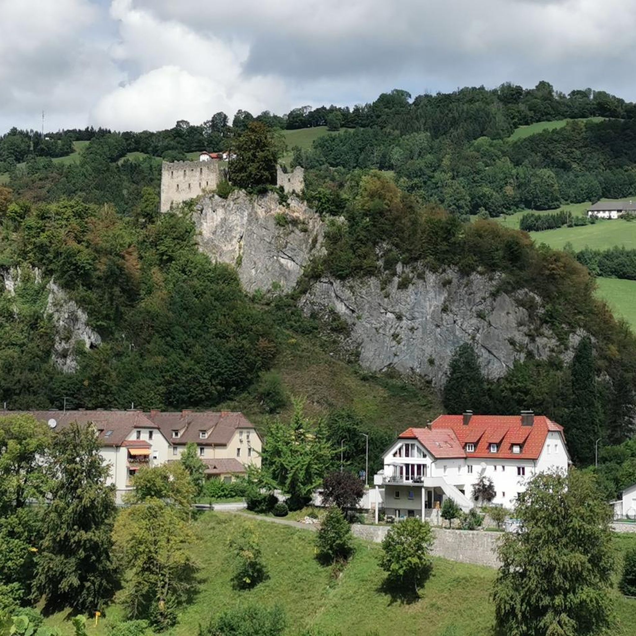
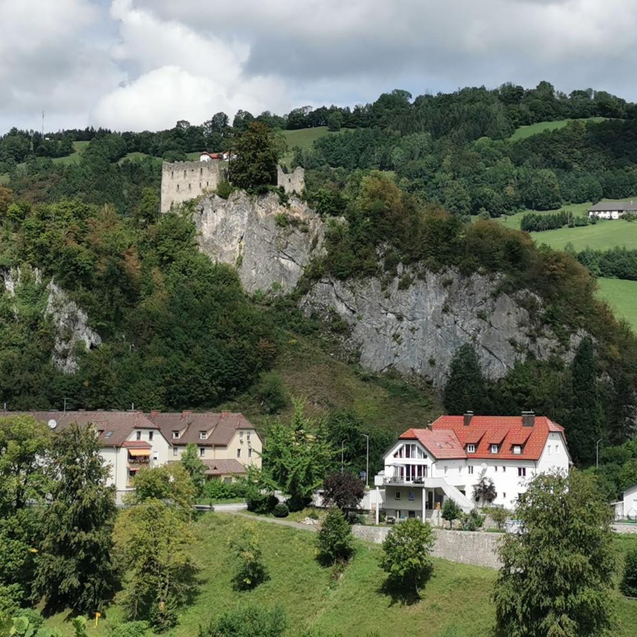
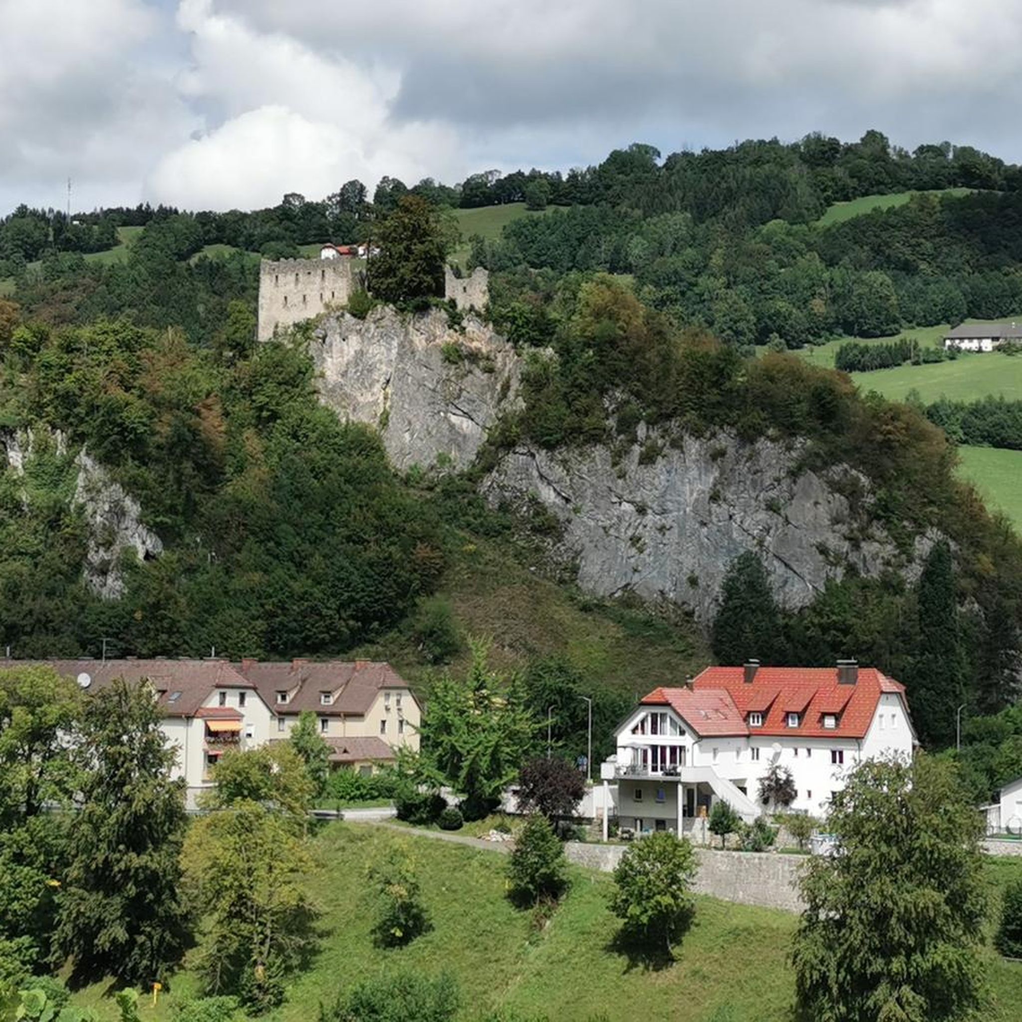
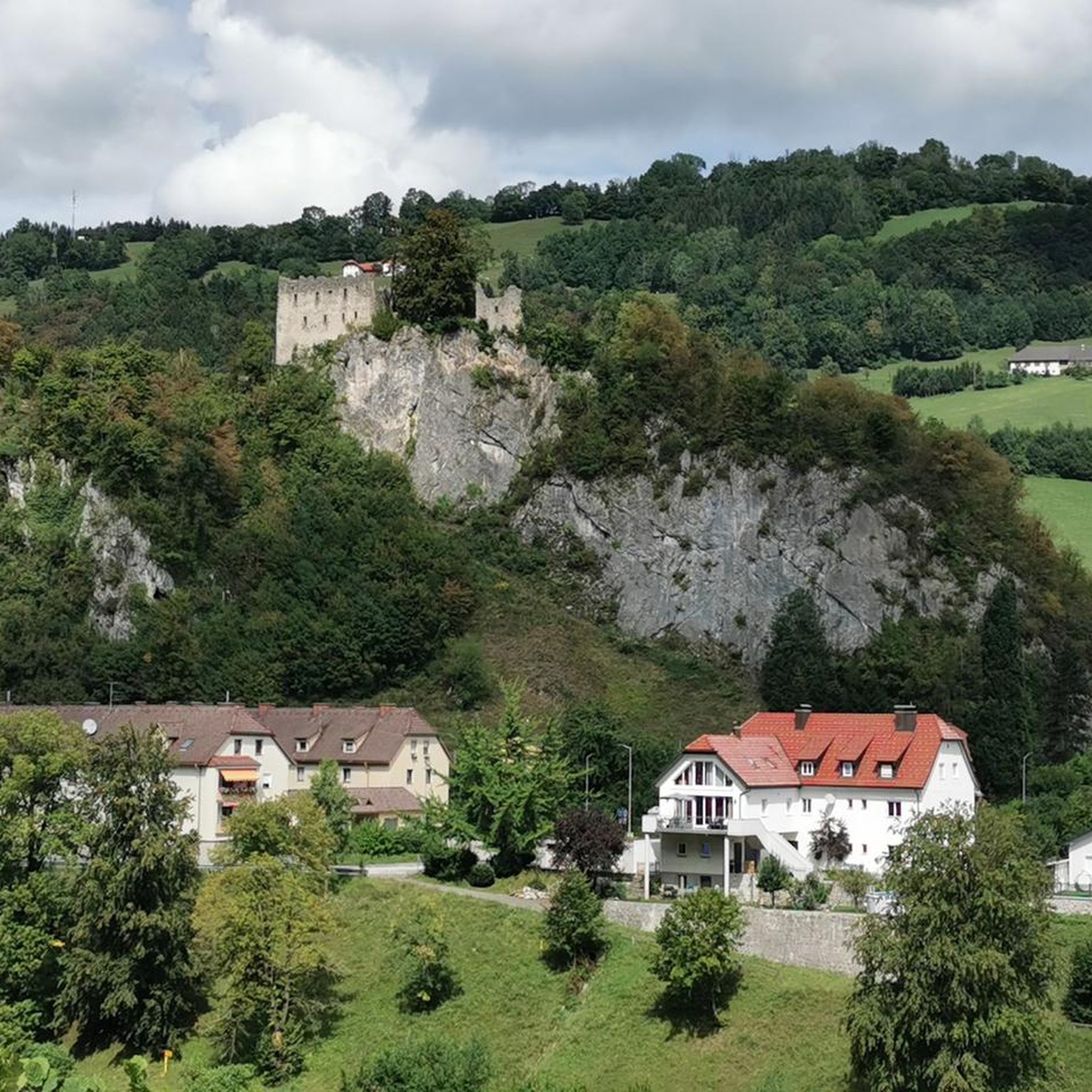
Losenstein's mountaineering trails offer access to several natural attractions and viewpoints. You can explore the 420-meter-high Burgberg with its striking castle ruins, providing panoramic views of the Enns River and surrounding foothills. The region is also close to the Kalkalpen National Park, known for its untouched natural beauty. For specific natural highlights, consider visiting the Fallerbucht Waterfall or the Windloch Cave.
Are there any waterfalls to see near the mountaineering routes?
Yes, the Losenstein area features several beautiful waterfalls. You can discover the Fallerbucht Waterfall, the Hölleiten Waterfall, the Dorngraben Waterfall, and the Schreibach Waterfall. These are often accessible via nearby trails, offering refreshing sights during your mountaineering adventures.
What do other mountaineers say about the routes in Losenstein?
The mountaineering routes in Losenstein are highly rated by the komoot community, with an average score of 4.6 stars from over 20 reviews. More than 600 mountaineers have used komoot to explore the varied terrain, often praising the challenging ascents, rewarding views, and the diverse natural landscapes.
Are there any shorter mountaineering routes suitable for a quicker outing?
If you're looking for a shorter mountaineering experience, the Schobersteinhaus – Wooden Gnome Fountain loop from Paragleiten Schoberstein Landeplatz 3 is a good option. This difficult 5.2 km trail can typically be completed in about 2 hours 55 minutes, leading through mountainous landscapes with over 500 meters of elevation gain.
What is the best time of year for mountaineering in Losenstein?
Losenstein's climate is generally mild and pleasant due to its many valleys and ridges reducing wind force. While specific best times can vary by route and personal preference, the region is suitable for mountaineering during most of the warmer months. Some climbing areas, like Nußwand and Pfennigsteinmauer, are even known as 'winter walls' due to their sun exposure, making them viable for climbing in colder seasons.
Is Losenstein suitable for advanced mountaineers looking for a challenge?
Absolutely. Losenstein offers several challenging routes for experienced mountaineers. Many trails, such as the multi-peak tours over Schieferstein, Sauzahn, and Ramlerhöhe, or the five-peak route including Sonnkogel and Tannscharten, require very good fitness and sure-footedness. The region's diverse rock formations also provide advanced sport climbing opportunities.
Are there historical sites to explore while mountaineering in Losenstein?
Yes, Losenstein is rich in history. A prominent historical site is the 12th-century Losensteinburg ruins, located on the 420-meter-high Burgberg. One of the most beautiful hiking routes leads directly to these ruins, offering not only historical interest but also panoramic views from the 60-meter-high dolomite rock on which the castle was built. You can find more information about the castle's history on Wikipedia.
Where can I find information about climbing gardens in Losenstein?
Losenstein is particularly renowned for its sport climbing opportunities. Key climbing areas include the Burgfels Climbing Garden, Nußwand Climbing Garden, Pfennigsteinmauer Climbing Garden, Gelsenwand Climbing Garden, and Langenstein Climbing Garden. For detailed information on specific climbing gardens, you can check resources like the Nußwand Climbing Garden and Pfennigsteinmauer Climbing Garden pages.
Most popular routes around Losenstein
Most popular attractions around Losenstein

Get inspired with the komoot mobile app


Explore more
Browse the best Mountain Hikes & Routes in other regions.
