The best mountain hikes around Haibach Ob der Donau
4.5
(2)
46
hikers
4
hikes
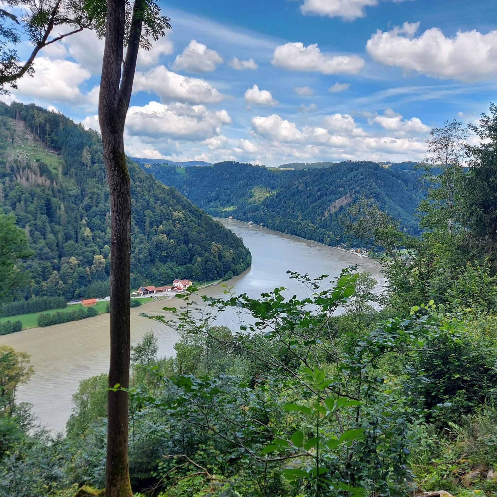
Mountaineering routes around Haibach ob der Donau are characterized by the dramatic landscapes of the Donautal valley, where the Danube River carves the iconic Schlögener Schlinge. The region features a hilly terrain with elevations ranging up to 563 meters, offering strenuous hikes with significant elevation gain. These routes often involve steep, rocky ascents and sections with loose scree, demanding good fitness and sure-footedness. The area provides a robust outdoor challenge for trekkers amidst its natural features.
Best mountaineering routes around…
Last updated: July 5, 2026
5.0
(1)
14
hikers
11.8km
03:30
320m
320m
Moderate mountaineering route. Good fitness required. Easily-accessible paths. Suitable for all skill levels.
11
hikers
17.7km
05:05
410m
410m
Hard mountaineering route. Very good fitness required. Easily-accessible paths. Suitable for all skill levels.

Sign up for free
4.0
(1)
10
hikers
3.66km
01:18
200m
200m
Easy mountaineering route. Great for any fitness level. Easily-accessible paths. Suitable for all skill levels.
9
hikers
7.74km
02:12
180m
180m
Moderate mountaineering route. Good fitness required. Easily-accessible paths. Suitable for all skill levels.
2
hikers
8.54km
02:43
320m
320m
Moderate mountaineering route. Good fitness required. Easily-accessible paths. Suitable for all skill levels.
Our route recommendations are based on thousands of hikes, rides, and runs completed by other people on komoot.
Start today with a free account
Your next adventure awaits.
Login or Signup
Popular around Haibach ob der Donau

Danube Trail – Legendary long-distance hiking along the Danube River

Simply amazing – 13 hikes along the Donausteig
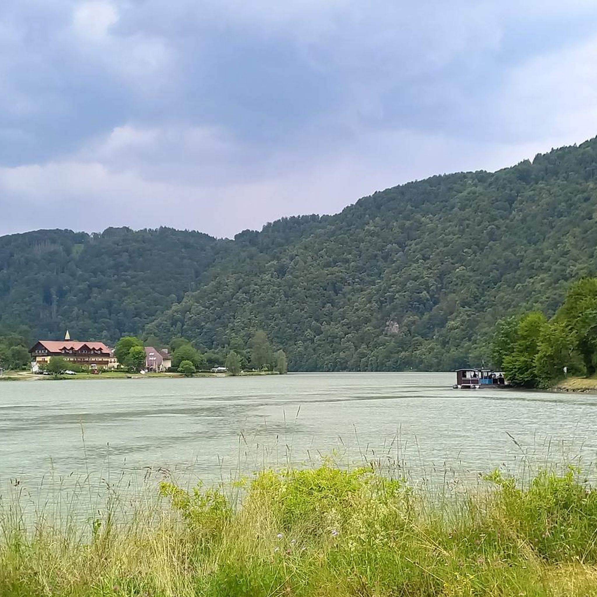
Hiking around Haibach Ob der Donau
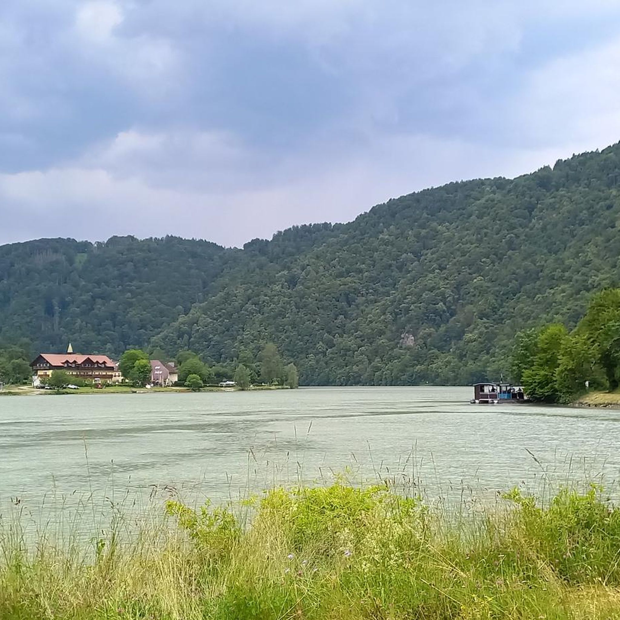
Cycling around Haibach Ob der Donau
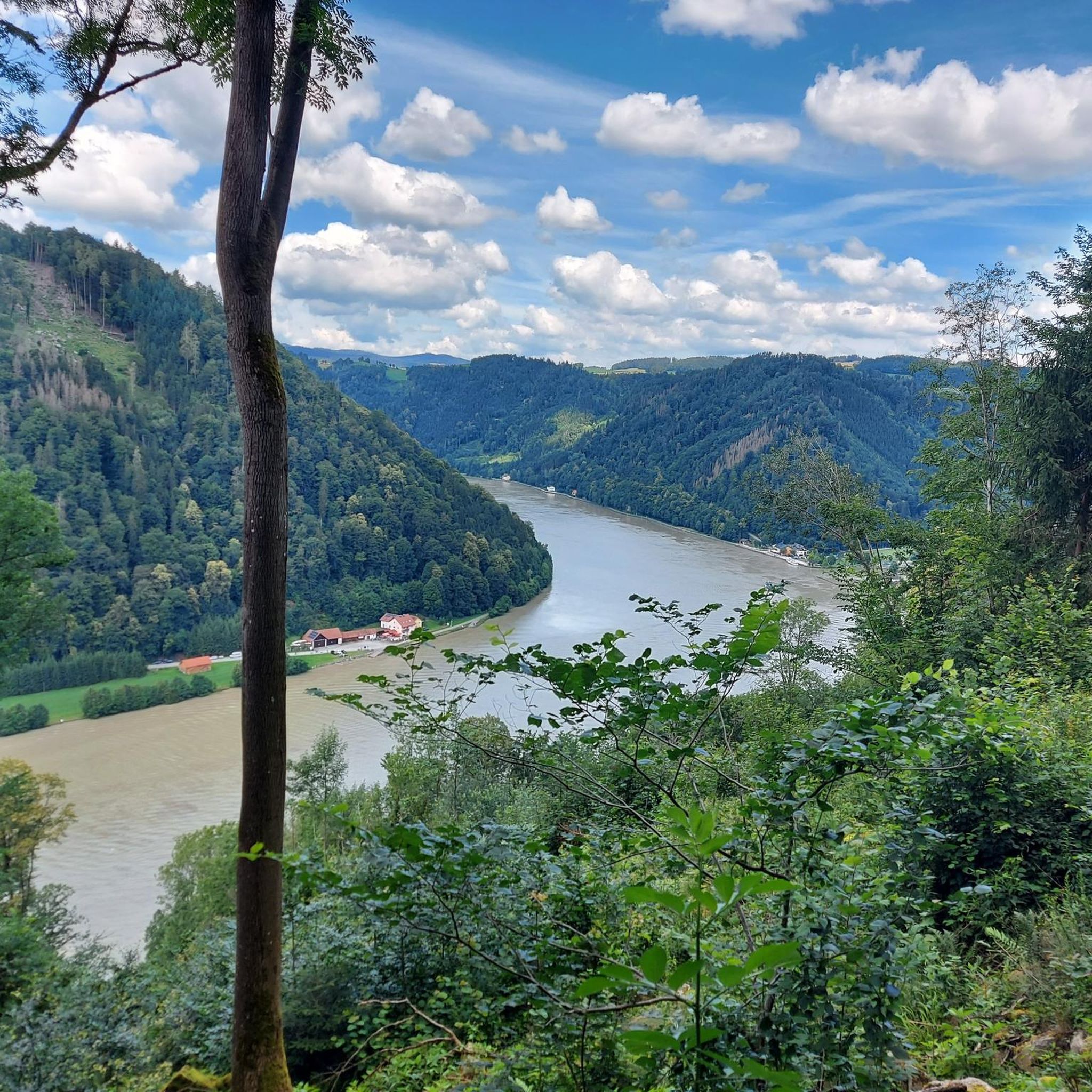
MTB Trails around Haibach Ob der Donau
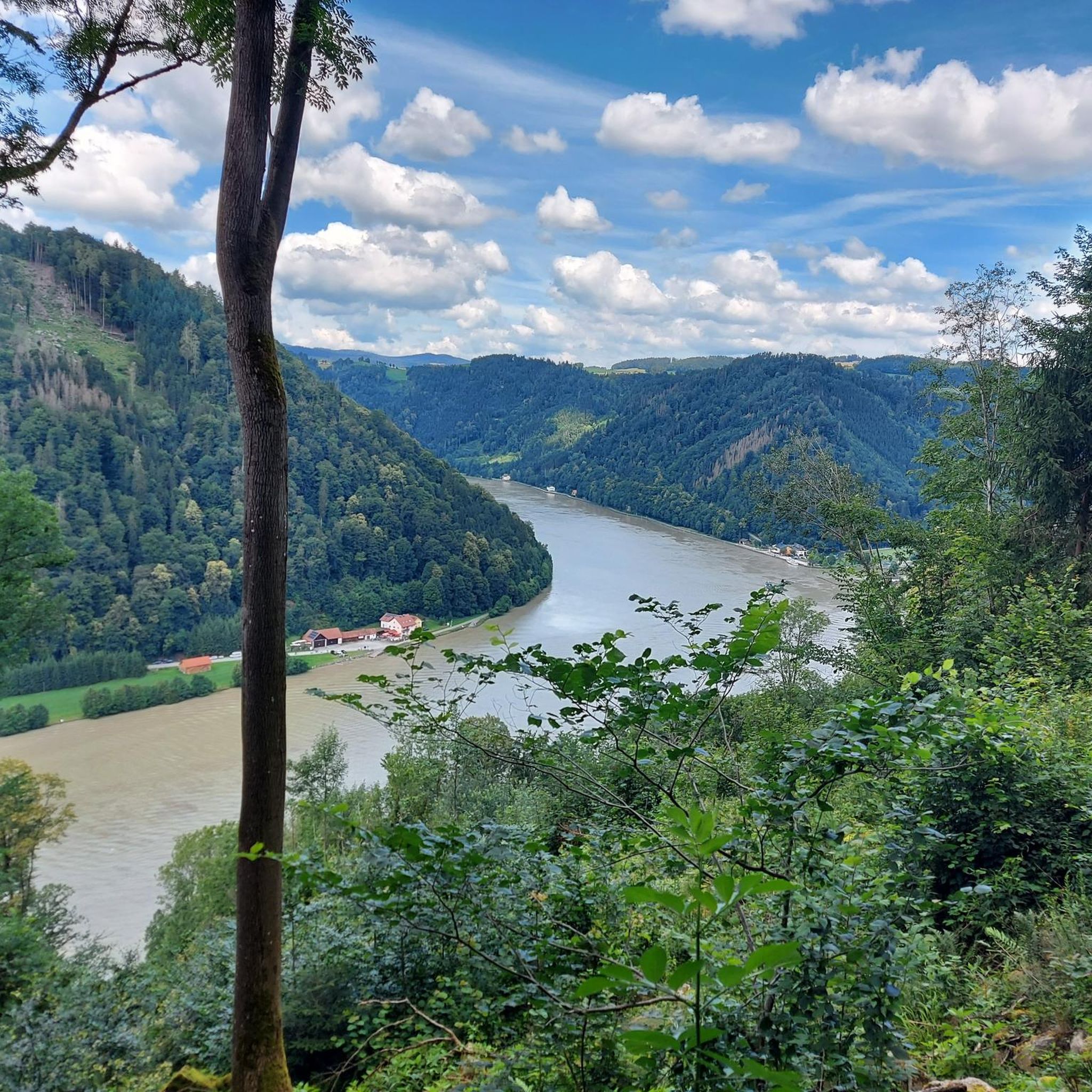
Road Cycling Routes around Haibach Ob der Donau
Running Trails around Haibach Ob der Donau
Gravel biking around Haibach Ob der Donau


Tips from the Community

There must have been a little emergency landing there 🤣
0
0
Great trail, only the railings could do with a repair.
0
0
Beautiful what nature can create
0
0


Very nice hike, you are in the shade a lot.
1
0

Beautiful viewpoint, from Inzell the path is partly quite steep and rocky.
1
0
Frequently Asked Questions
How many mountaineering routes are available in Haibach ob der Donau?
There are 4 mountaineering routes listed in Haibach ob der Donau, offering a range of difficulties from easy to difficult. These routes are designed for strenuous hikes rather than technical mountaineering, providing robust outdoor challenges.
What is the general difficulty level of mountaineering routes in Haibach ob der Donau?
The routes around Haibach ob der Donau are characterized by hilly terrain and significant elevation gain, making them strenuous hikes. You'll find options ranging from easy, like the View of the Schlögener Loop loop from Schlögen, to moderate and difficult paths that require good fitness and sure-footedness, especially on steep, rocky ascents and sections with loose scree.
Are there any routes that feature waterfalls?
Yes, you can explore the View of Wesenufer – Bockbach Waterfall loop from Niederranna. This moderate route includes the Bockbach Waterfall, offering a refreshing natural highlight during your trek.
What natural landmarks can I expect to see along the routes?
Many routes offer stunning views of the iconic Schlögen Loop, where the Danube River makes a dramatic horseshoe bend. You might also encounter the unique Kerzenstein, a twelve-meter-high granite column, or enjoy panoramic vistas from viewpoints like the Mayrhofberg Observation Tower.
Are there any historical sites or cultural points of interest near the mountaineering routes?
Yes, the region offers a glimpse into its past. You can find historical sites such as the Stauff ruins and the Kalvarienberg Chapel. The Joviacum Roman castle also provides a historical context to the area, enriching your outdoor experience.
Are there any circular routes available for mountaineering?
Absolutely. Many of the routes are designed as loops, allowing you to start and end at the same point. Examples include the challenging Schlögen Loop – Schlögen Loop loop from Haibach ob der Donau and the moderate Green Pond – Pesenbachsteig Trail loop from Ruine Oberwallsee.
Can I bring my dog on these mountaineering routes?
While specific restrictions for dogs on individual routes are not detailed, the extensive network of hiking trails in the Donautal valley generally welcomes well-behaved dogs. It's always advisable to keep your dog on a leash, especially in nature protection areas or near livestock, and to carry water for them.
Are the mountaineering routes suitable for families with children?
The routes around Haibach ob der Donau are generally described as strenuous hikes with significant elevation gain, making them more suitable for active families with older children who are accustomed to challenging treks. For younger children, the easy View of the Schlögener Loop loop from Schlögen might be an option, but overall, these are robust outdoor challenges.
What is the best time of year for mountaineering in Haibach ob der Donau?
The region is beautiful year-round, but for mountaineering and strenuous hiking, spring and autumn generally offer the most pleasant conditions with milder temperatures and vibrant scenery. Summer can be warm, while winter might present snow and ice, requiring appropriate gear and caution, though cross-country skiing is popular then.
Is parking available near the trailheads?
Yes, parking is generally available near the starting points of many popular routes, especially in areas like Schlögen or Haibach ob der Donau. Specific parking information for each trailhead can often be found on the individual route pages on komoot.
What do other mountaineers say about the routes in Haibach ob der Donau?
The routes in Haibach ob der Donau are highly rated by the komoot community, with an average score of 4.5 stars from over 2 reviews. Mountaineers often praise the dramatic landscapes of the Donautal valley, the extensive views of the Schlögener Schlinge, and the robust outdoor challenge these strenuous hikes provide.
Are there places to eat or stay near the mountaineering routes?
Yes, Haibach ob der Donau and the surrounding Donautal valley offer various options for refreshments and accommodation. You'll find cafes, pubs, and restaurants in the villages, particularly near popular spots like Schlögen, providing opportunities to refuel and relax after your trek. Accommodation ranges from guesthouses to hotels.
Most popular routes around Haibach Ob der Donau
Most popular attractions around Haibach Ob der Donau

Get inspired with the komoot mobile app


Explore more
Browse the best Mountain Hikes & Routes in other regions.
