The best running trails around Brent Pelham
4.5
(37)
2,175
runners
242
runs
Jogging around Brent Pelham offers routes through the gently rolling countryside of Hertfordshire. The region features a network of rural paths connecting small villages and open fields. Elevation changes are generally mild, making it suitable for various fitness levels. These running routes provide opportunities to explore the local landscape and historical points of interest.
Best jogging routes around Brent Pelham
- The most popular jogging route is The Cricketers – Clavering Castle loop from Clavering, a 3.4 miles (5.5 km)…
Last updated: July 5, 2026
10
runners
5.52km
00:34
40m
40m
Moderate run. Good fitness required. Mostly paved surfaces. Suitable for all skill levels.
6
runners
9.50km
01:00
70m
70m
Moderate run. Good fitness required. Mostly paved surfaces. Suitable for all skill levels.

Sign up for free
4
runners
15.3km
01:37
100m
100m
Hard run. Very good fitness required. Mostly paved surfaces. Suitable for all skill levels.
4
runners
4.80km
00:30
30m
30m
Easy run. Great for any fitness level. Mostly paved surfaces. Suitable for all skill levels.
4
runners
18.7km
02:00
140m
140m
Hard run. Very good fitness required. Mostly paved surfaces. Suitable for all skill levels.
Get access to more routes and recommendations from other explorers.
Sign up for free
Already have an account?
Our route recommendations are based on thousands of hikes, rides, and runs completed by other people on komoot.
Start today with a free account
Your next adventure awaits.
Login or Signup

Tips from the Community


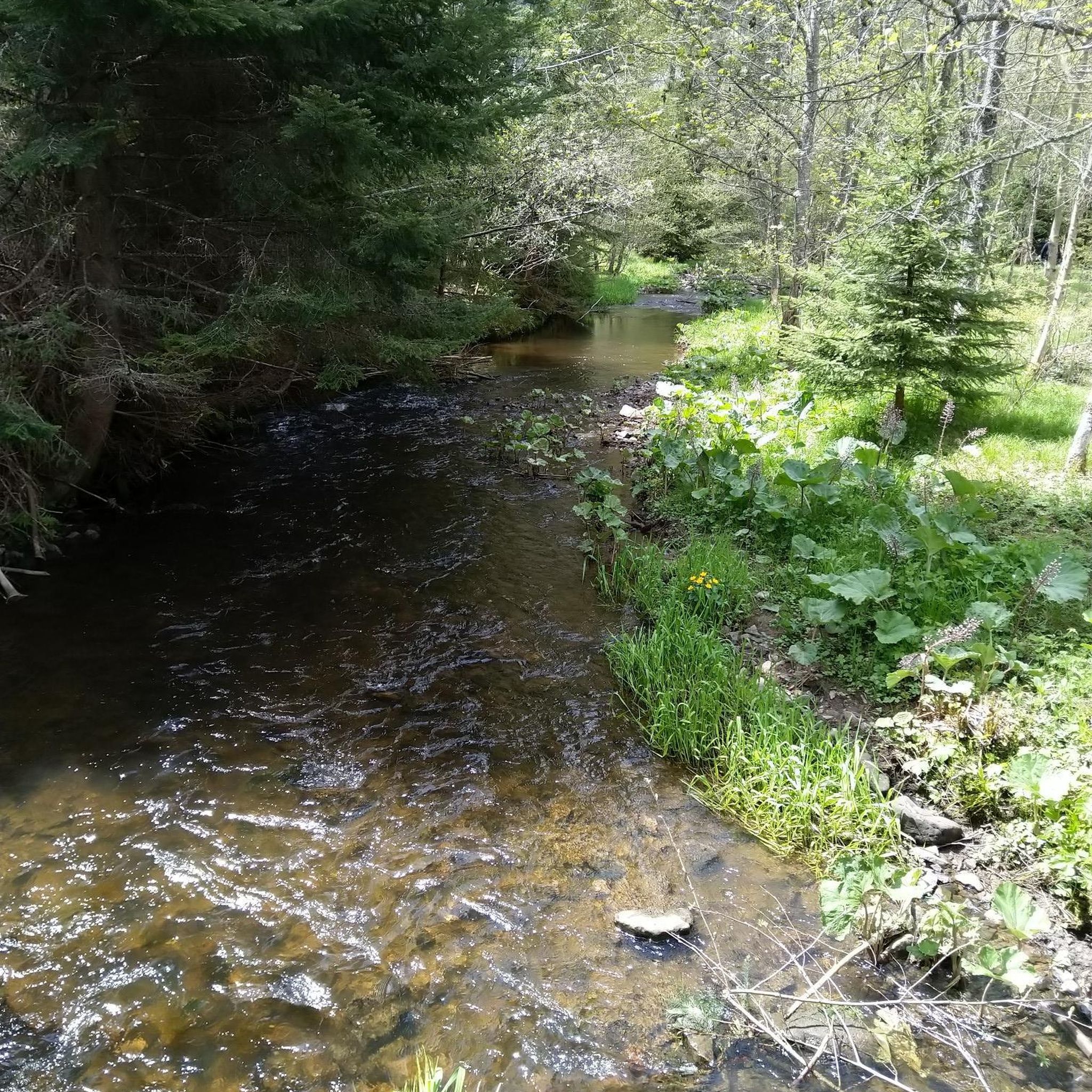
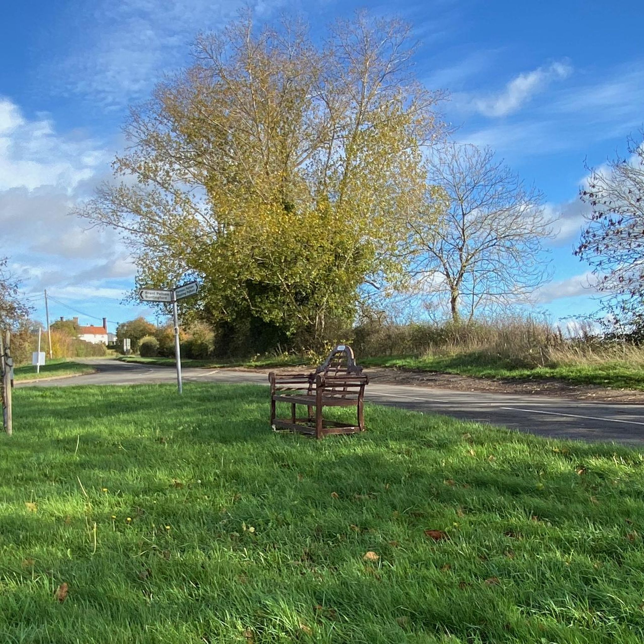
Such a pretty village in the Spring sunshine and the Axe and Compass pub looks like a good spot for refreshment, although I didn't have time to stop in.
0
0


Traverse southbound to get the easy downhill. There are steeper climbs in the area northbound, but it's the length that'll get you here.
0
0


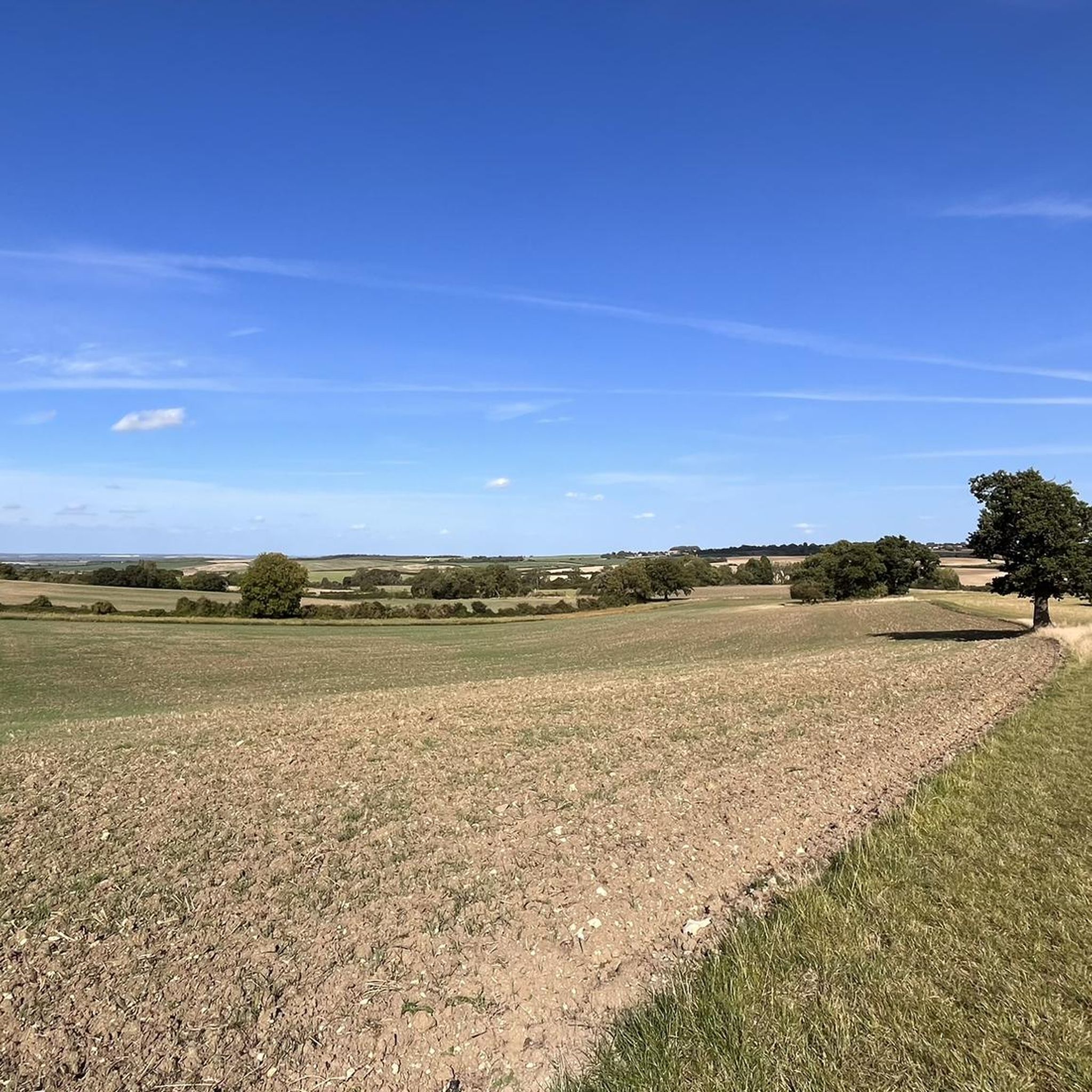
Congratulations, you've reached the highest point - for roadies - in the county (the actual county top is ~500m west of you at 147m in Roughway Wood, accessible by a bridleway for our gravel-loving compatriots).
0
0

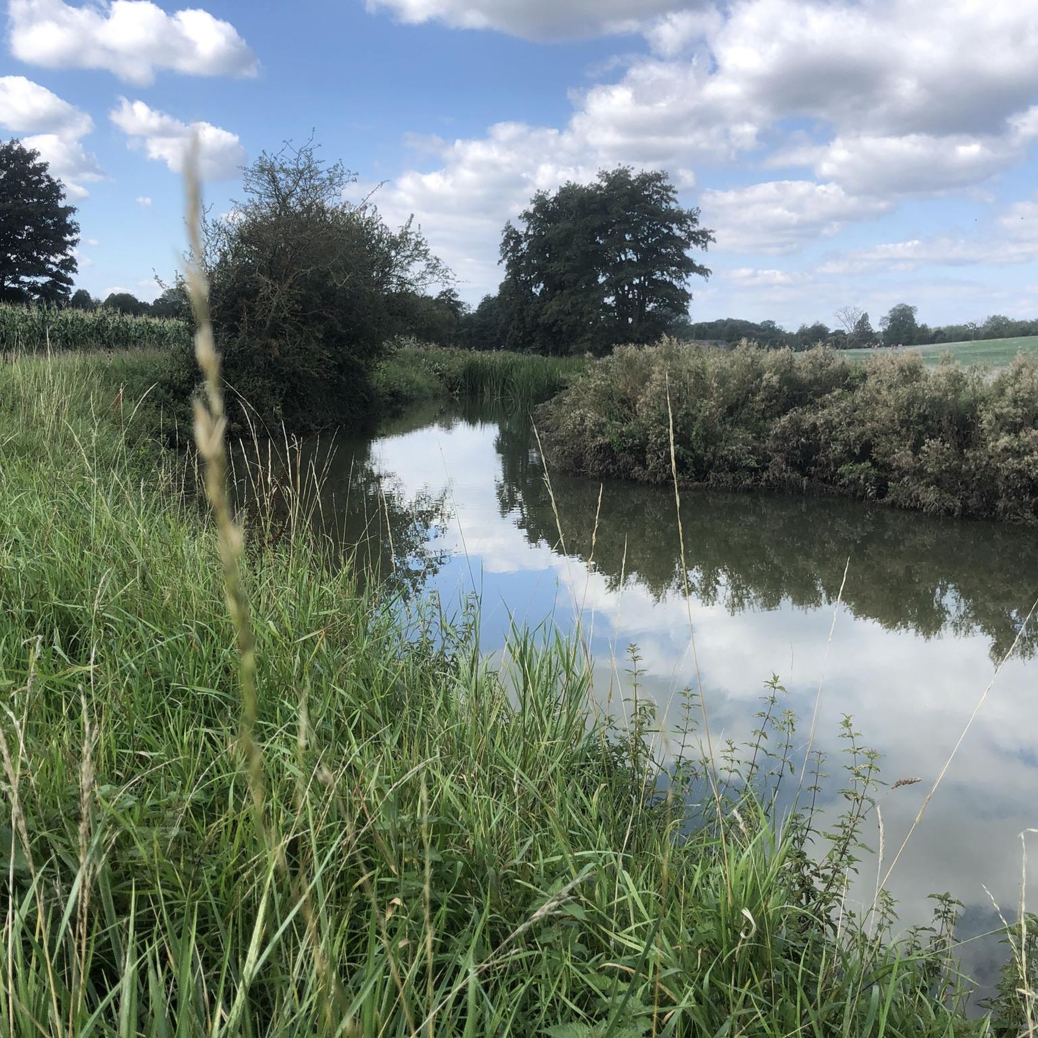
Quintessential Cambridgeshire village, complete with thatched roofs and a small village green. Incredibly peaceful place to stop for a break after the gentle climb.
2
0

Trig point (139m) in a private garden but the owners might let you take a look if you ask nicely!
0
0
Frequently Asked Questions
How many running routes are available around Brent Pelham?
There are over 250 running routes available in the Brent Pelham area on komoot, offering a wide variety of options for different preferences and fitness levels.
Are there easy running routes suitable for beginners in Brent Pelham?
Yes, Brent Pelham offers 27 easy running routes. These paths typically feature mild elevation changes and rural scenery, perfect for those new to running or looking for a relaxed jog. An example is The Brewery Tap loop from Furneux Pelham, which is 3.0 miles (4.8 km) long.
Can I find challenging or long-distance running trails in this region?
Absolutely. For those seeking a greater challenge, there are 37 difficult routes and many longer options. For instance, the Little Chishill – The Knoll Shelter, Anstey loop from Anstey is a demanding 11.6 miles (18.7 km) trail with significant elevation changes.
Are the running routes around Brent Pelham suitable for families?
Many of the routes around Brent Pelham, particularly the easier and moderate ones, are suitable for families. The gently rolling countryside and rural paths provide a pleasant environment for a family jog, though specific accessibility for strollers would depend on the individual path surface.
Are there any circular running routes in Brent Pelham?
Yes, many of the running routes in Brent Pelham are circular, allowing you to start and finish at the same point. For example, the popular The Cricketers – Clavering Castle loop from Clavering is a 3.4 miles (5.5 km) circular route.
What kind of scenery can I expect on the running trails?
The running trails around Brent Pelham primarily traverse the gently rolling countryside of Hertfordshire. You'll experience a mix of rural paths, open fields, and connections between small, picturesque villages. The region is known for its tranquil, pastoral landscapes.
Are there any interesting landmarks or attractions along the running routes?
Yes, the area features several points of interest. For example, the Brent Pelham – St George's Church, Anstey loop from Anstey passes by St George's Church. Other nearby attractions include Audley End House and the charming Arkesden Village.
What do other runners say about the trails in Brent Pelham?
The komoot community highly rates the running trails in Brent Pelham, with an average score of 4.6 stars from over 30 reviews. Runners often praise the quiet rural paths, the scenic village connections, and the varied terrain suitable for different abilities.
Are there running routes that pass by pubs or cafes?
Given the region's network of paths connecting small villages, it's common to find routes that pass near or through villages with local pubs or cafes. For instance, The Brewery Tap loop from Furneux Pelham starts near a pub, offering a convenient stop before or after your run.
Is there parking available near the running trailheads?
While specific parking details vary by trailhead, many routes in rural areas like Brent Pelham offer roadside parking in villages or designated car parks. It's advisable to check the route details on komoot for specific parking recommendations for your chosen trail.
What is the best time of year to go running in Brent Pelham?
The gently rolling countryside of Brent Pelham is enjoyable year-round. Spring and summer offer lush green landscapes and longer daylight hours, while autumn provides beautiful foliage. Even in winter, many paths remain accessible, offering crisp, quiet runs, though some rural paths might be muddy after rain.
Are there any routes that reach higher elevations or offer viewpoints?
While Brent Pelham is characterized by gently rolling hills, some routes do reach higher points. For example, the Arkesden Village – Highest Road in Essex (139 m) loop from Langley offers a chance to experience one of the higher elevations in the local area, providing broader views of the surrounding countryside.
Most popular attractions around Brent Pelham

Get inspired with the komoot mobile app


Explore more
Browse the best Running Trails & Routes in other regions.
