The best road cycling routes around Schröcken
4.5
(152)
4,266
riders
22
rides
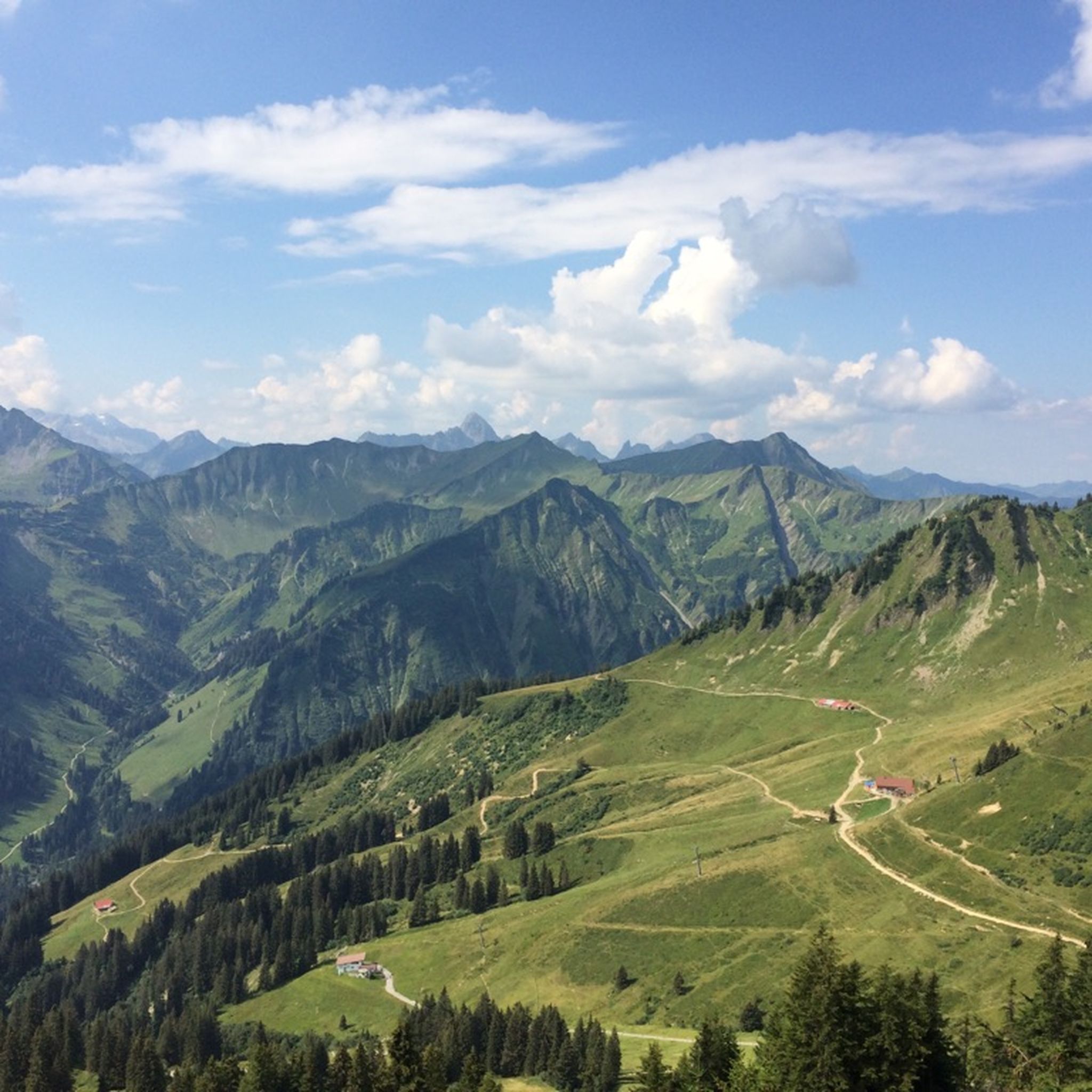
Road cycling around Schröcken offers diverse and challenging landscapes within the Austrian Alps, characterized by varied alpine terrain. The region features high mountain passes, including the Hochtannbergpass and Flexenpass, alongside lush meadows and rugged rock formations. Schröcken itself is a high-altitude scattered settlement, with elevations ranging from 1,150 to 1,660 meters above sea level, providing a dynamic environment for road cyclists.
Best road cycling routes around Schröcken
- The most popular road cycling route is Hochtannberg Pass – View of the…
Last updated: July 9, 2026
5.0
(5)
187
riders
87.2km
04:42
1,750m
1,750m
Hard road ride. Very good fitness required. Mostly well-paved surfaces and easy to ride.
4.6
(5)
188
riders
35.9km
02:06
720m
720m
Moderate road ride. Good fitness required. Mostly well-paved surfaces and easy to ride.

Sign up for free
5.0
(1)
89
riders
Moderate road ride. Good fitness required. Some segments of this route may be unpaved and difficult to ride.
4.4
(5)
58
riders
16.7km
00:53
290m
290m
Easy road ride. Great for any fitness level. Mostly well-paved surfaces and easy to ride.
33
riders
26.0km
01:26
540m
540m
Moderate road ride. Good fitness required. Mostly well-paved surfaces and easy to ride.
Get access to more routes and recommendations from other explorers.
Sign up for free
Already have an account?
Our route recommendations are based on thousands of hikes, rides, and runs completed by other people on komoot.
Start today with a free account
Your next adventure awaits.
Login or Signup
Popular around Schröcken
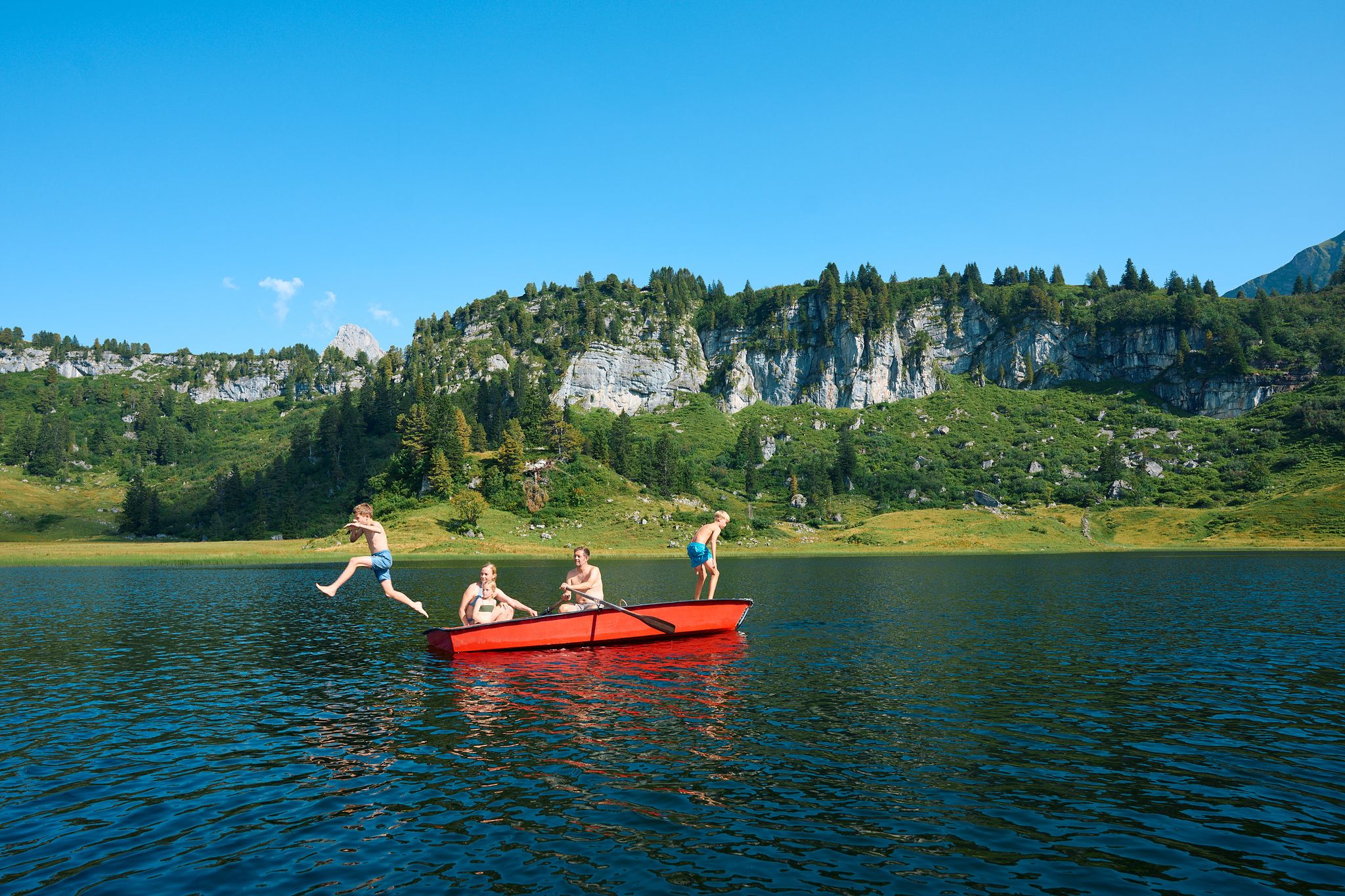
The mirrors of the mountains – hiking the alpine lakes of Warth-Schröcken
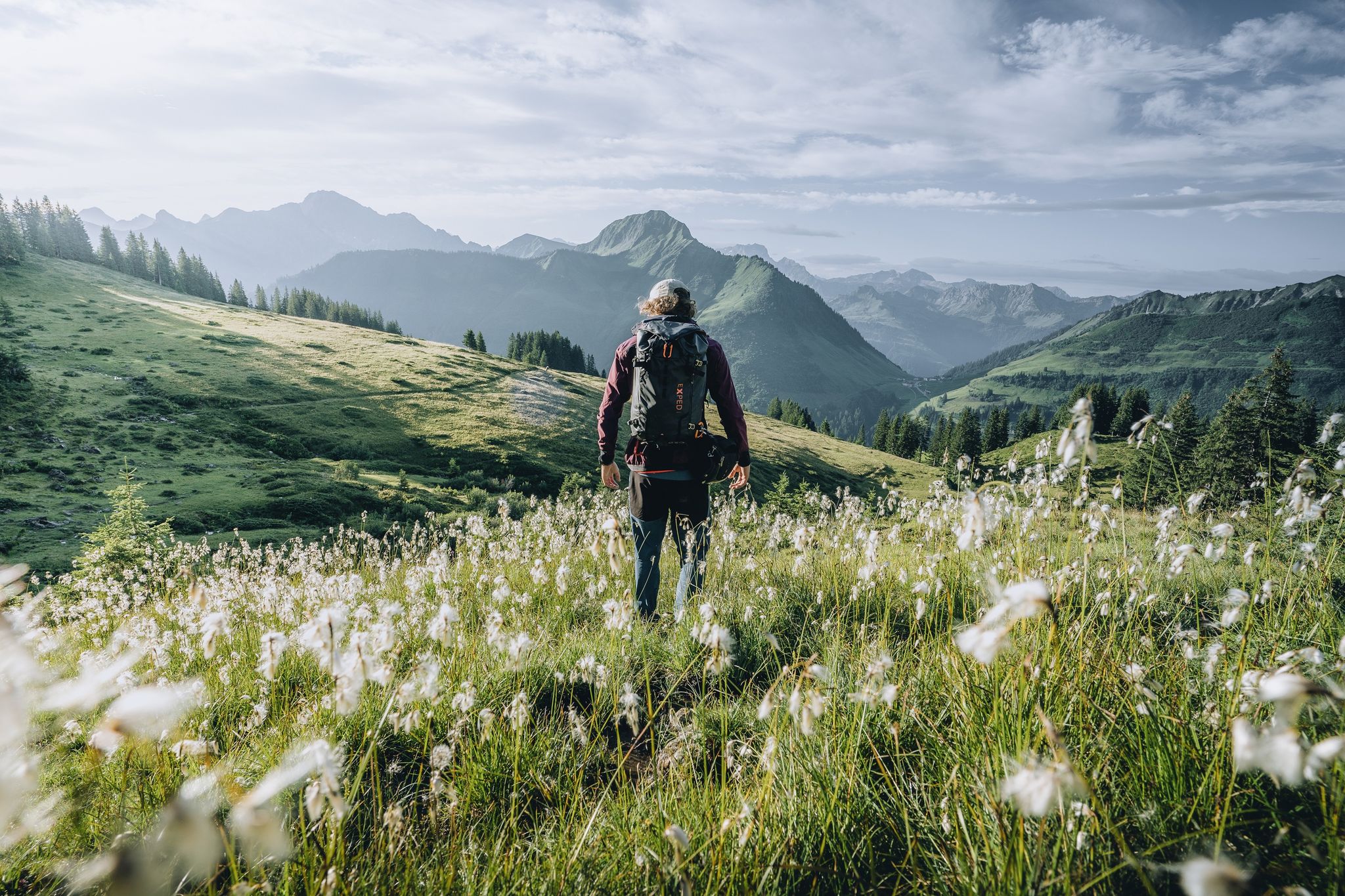
Pure joy on summit hikes in the Bregenzerwald
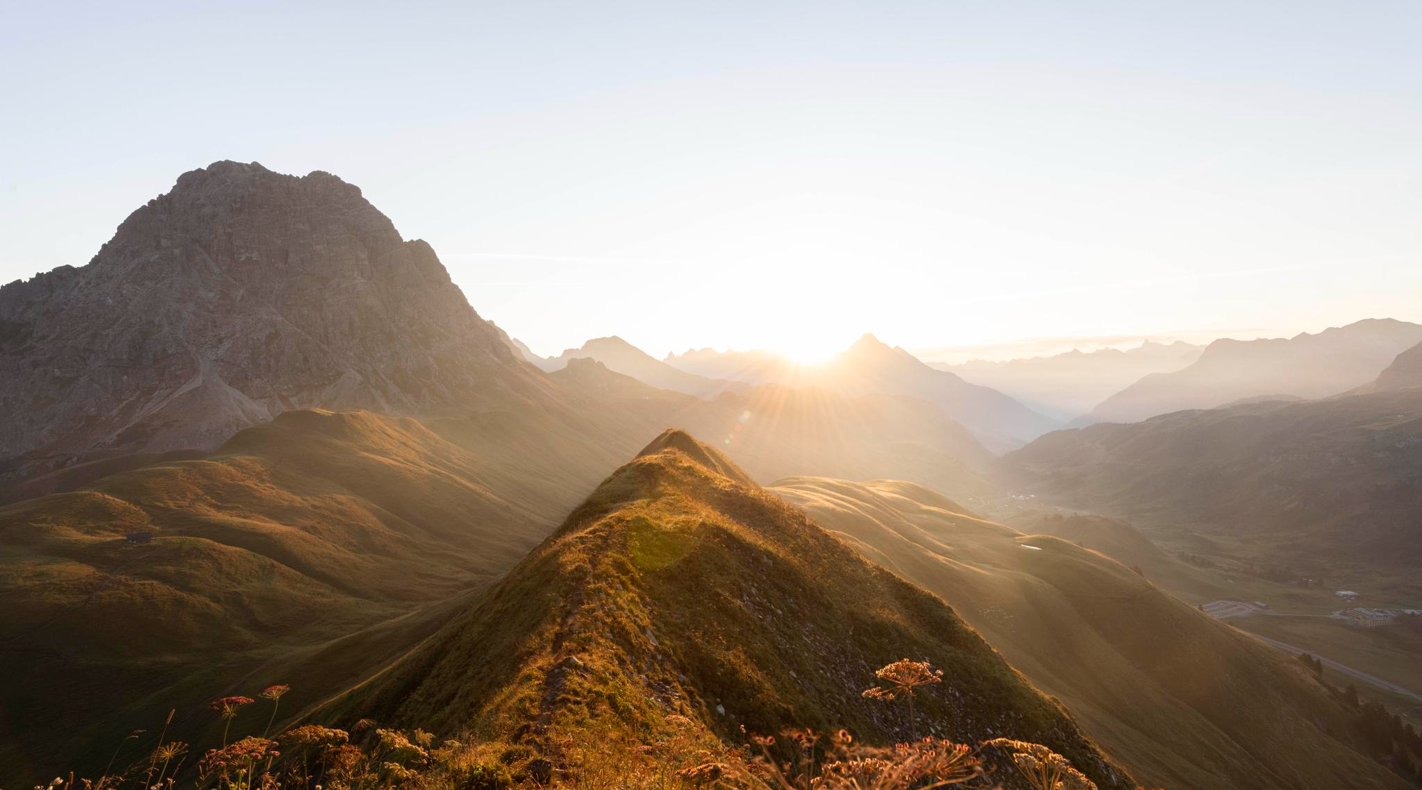
Hoch hinaus im Herbst – Wanderungen im Bregenzerwald
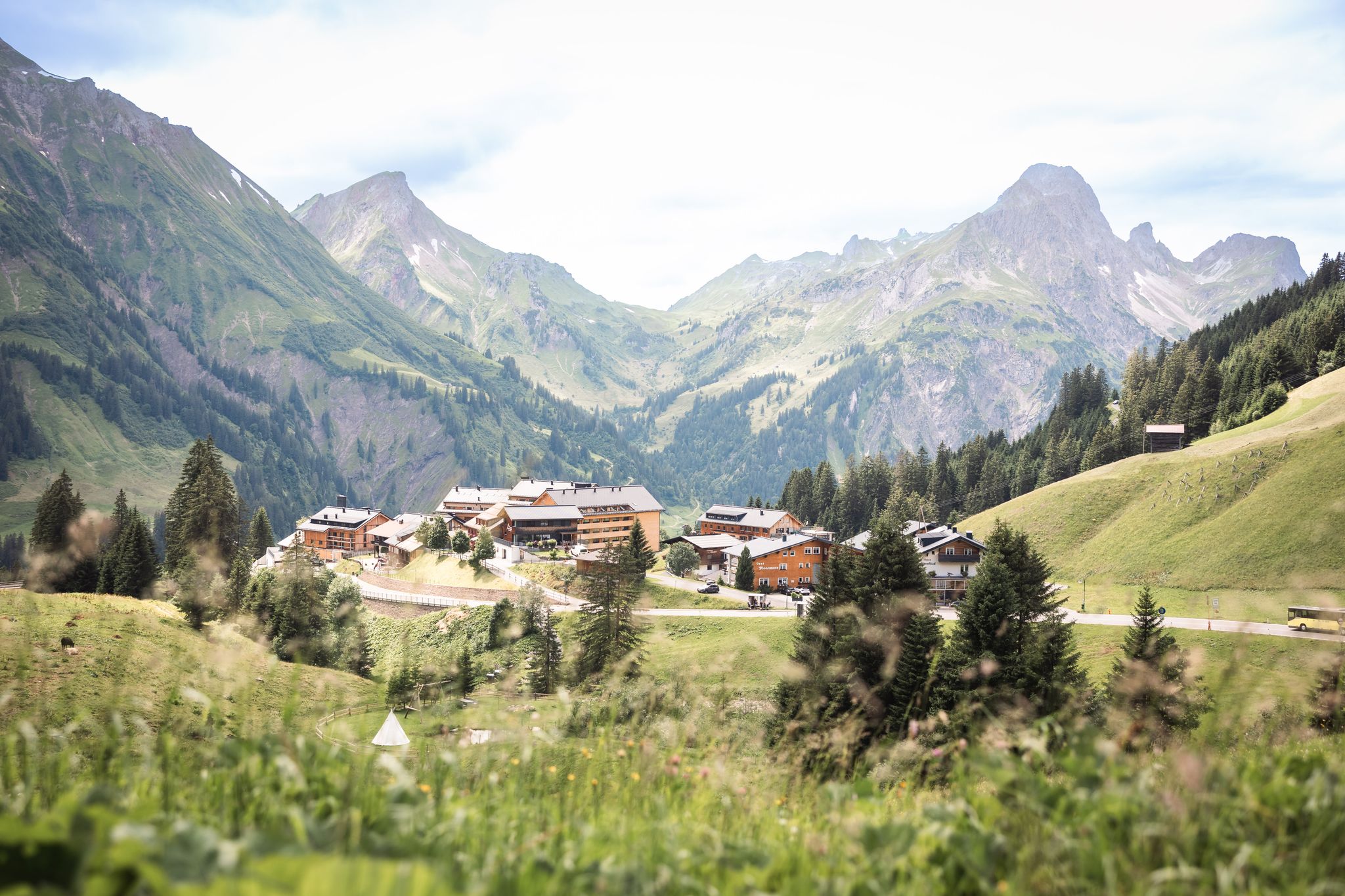
Tannbergweg "Auf den Spuren der Walser"
Hiking around Schröcken
MTB Trails around Schröcken
Cycling around Schröcken
Gravel biking around Schröcken
Running Trails around Schröcken
Mountain Hikes around Schröcken
Other adventures around Schröcken


Tips from the Community

A sophisticated, not exactly cheap town center of Lech am Arlberg, located directly on the panoramic trail along the Lech river.
3
0
Former post office, now a traditional 5-star hotel in the center of Lech am Arlberg, which has been run by the Moosbrugger family since 1937.
6
0
Located in the center of Lech, on the Lech Promenade. The cable car to the Rüfikopf also starts from here.
7
0
A beautifully situated location on the Lech river, surrounded by a magnificent mountain landscape with plenty of hiking opportunities in every season.
7
0


The valley was settled around 1270 by Walsers, an ethnic group that migrated from the upper Valais (Switzerland). The dialect has been preserved quite well and differs significantly from its neighbors in Vorarlberg and Allgäu. With its approximately 5,000 inhabitants, the valley is divided into three villages: Riezlern, Hirschegg & Mittelberg with Baad. The Kleinwalsertal covers an area of 97 km². It is about 15 km long and about 6.5 km wide
3
0

Campsite near Mittelberg east of Baad.
4
1
Frequently Asked Questions
How many road cycling routes are available around Schröcken, and what are their difficulty levels?
Schröcken offers a diverse network of over 20 road cycling routes. These include 2 easy routes, 13 moderate routes, and 8 difficult routes, catering to various skill levels and preferences.
When is the best time of year for road cycling in Schröcken?
The optimal conditions for road cycling in Schröcken are typically found in spring, summer, and autumn. During these seasons, you can expect pleasant weather and accessible mountain passes, making for enjoyable rides through the alpine landscape.
Are there challenging road cycling routes with significant elevation gain in Schröcken?
Yes, Schröcken is renowned for its challenging alpine terrain and mountain passes. Routes often feature significant elevation gain, such as the Hochtannberg Pass – View of the bend at Schröcken Bridge loop from Lech, which includes over 1,700 meters of ascent. The region is home to passes like the Hochtannbergpass, Flexenpass, and Furkajoch Pass, the latter featuring gradients up to 12 percent.
What natural attractions or scenic points can I expect to see on road cycling routes in Schröcken?
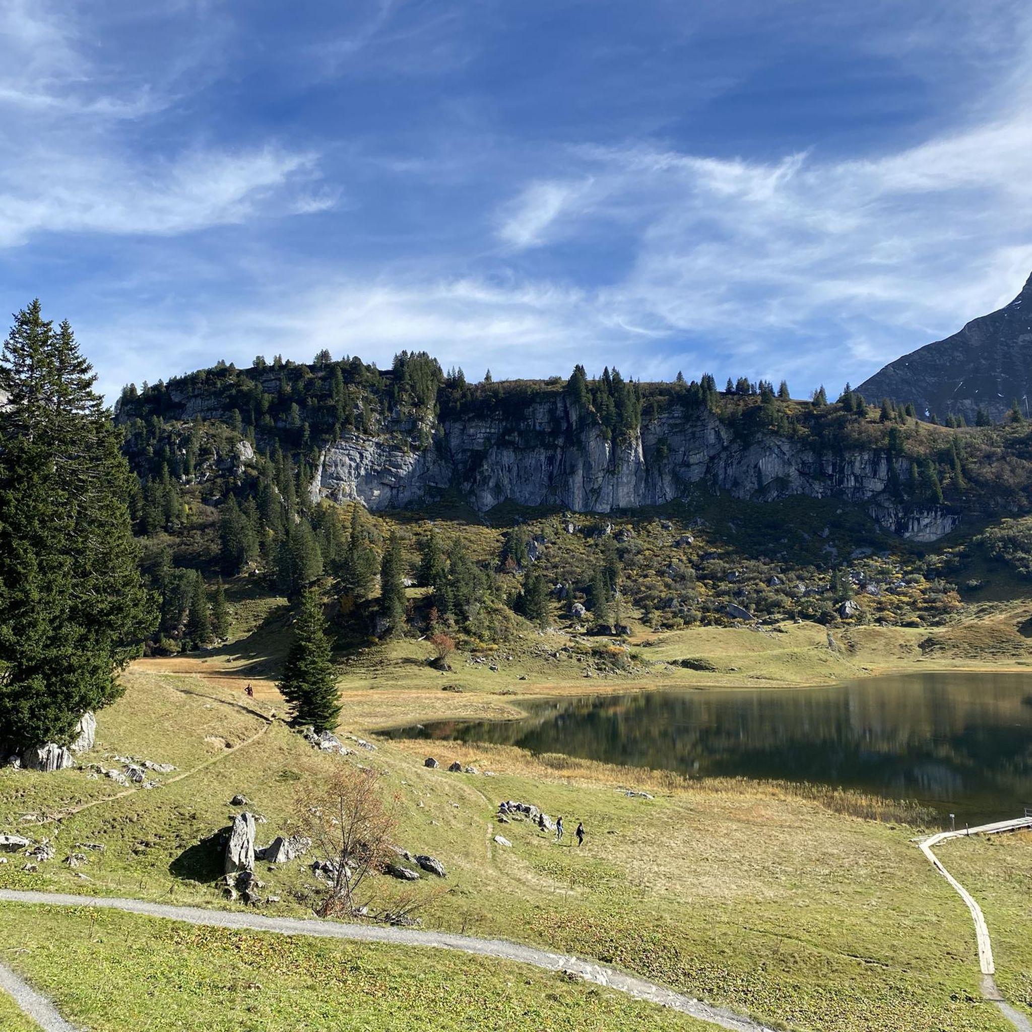
Road cycling routes around Schröcken offer breathtaking vistas of the Austrian Alps. You'll encounter prominent peaks like Widderstein and Mohnenfluh, lush meadows, and rugged rock formations. The picturesque Körbersee Lake, once named the loveliest place in Austria, is also accessible and provides outstanding scenic beauty. Additionally, you might pass through the Picturesque Lech Valley.
What do other road cyclists enjoy the most about road cycling in Schröcken?
The komoot community highly rates road cycling in Schröcken, with an average score of 4.5 stars from over 140 reviews. Cyclists frequently praise the diverse and challenging alpine terrain, the stunning natural beauty, and the variety of routes suitable for different abilities, from moderate climbs to difficult, long-distance rides.
Are there any easy road cycling routes suitable for beginners or families in Schröcken?
While Schröcken is known for its challenging terrain, there are a couple of easier routes available. For instance, the Breitach Bridge in Riezlern – Kanzelwandbahn Valley Station loop from Baad is an easy option, offering a less strenuous ride through the scenic landscape.
Are there circular road cycling routes available in Schröcken?
Yes, many of the road cycling routes around Schröcken are designed as loops, allowing you to start and finish in the same location. Examples include the Spullersee North Dam – North shore of Spullersee loop from Lech, which offers views of Spullersee lake, and the Formarinjoch loop from Zug.
Are there any cultural or historical landmarks along the road cycling routes?
While the focus is on natural beauty, the region does offer cultural insights. The Walser Hiker Theme Trail, which covers Schröcken, highlights the region's history. You might also find the Alpmuseum uf'm Tannberg, offering insight into mountain farmers' lifestyles, a cultural stop during your exploration.
What kind of terrain can I expect when road cycling in the Bregenzerwald area near Schröcken?
The Bregenzerwald area, adjacent to Schröcken, features varied alpine terrain. You can expect a mix of lush green meadows, gentle hills, and steep mountain passes. The landscape transitions from high-altitude scattered settlements to rugged rock formations, providing a dynamic and engaging cycling experience.
Are there any routes that pass by waterfalls around Schröcken?
Yes, the region around Schröcken features several beautiful waterfalls. While not directly on every road cycling route, some paths might bring you close to areas like the Gemstel Gorge or the Alpe Melköde Alpine Hut and Waterfall, offering opportunities to combine your ride with a short stop to enjoy these natural wonders.
Can I find routes that lead through valleys, like the Lechtal valley?
Absolutely. Some routes venture into the picturesque valleys surrounding Schröcken. For example, the Sojer Natural Cheese Dairy – Lechtal Cycle Path loop from Europaschutzgebiet Schöneberg leads through the scenic Lechtal valley, offering a different kind of terrain compared to the high mountain passes.
Most popular routes around Schröcken
Most popular attractions around Schröcken

Get inspired with the komoot mobile app


Explore more
Browse the best Road cycling routes in other regions.
