The best mountain hikes around Aschach an der Steyr
4.4
(34)
714
hikers
13
hikes
Mountaineering routes around Aschach an der Steyr are situated in the picturesque Steyr Valley, with elevations ranging from 330 meters at the Steyr River to 609 meters at Hochhub. The municipality itself features approximately 16% forest and 73% farmland, contributing to its rural character. While direct alpine mountaineering is not centered here, the region offers diverse trails and serves as a gateway to the broader climbing opportunities in the nearby Kalkalpen National Park. This varied topography provides scenic views across…
Last updated: July 1, 2026
4.5
(2)
176
hikers
Hard mountaineering route. Good fitness required. Sure-footedness, sturdy shoes and alpine experience required.
4.9
(8)
77
hikers
11.5km
05:03
830m
830m
Hard mountaineering route. Very good fitness required. Mostly accessible paths. Sure-footedness required.

Sign up for free
4.7
(3)
47
hikers
11.2km
05:10
900m
900m
Hard mountaineering route. Very good fitness required. Mostly accessible paths. Sure-footedness required.
27
hikers
12.2km
05:27
910m
910m
Hard mountaineering route. Very good fitness required. Mostly accessible paths. Sure-footedness required.
3.0
(2)
25
hikers
14.2km
05:30
840m
840m
Hard mountaineering route. Very good fitness required. Mostly accessible paths. Sure-footedness required.
Get access to more routes and recommendations from other explorers.
Sign up for free
Already have an account?
Our route recommendations are based on thousands of hikes, rides, and runs completed by other people on komoot.
Start today with a free account
Your next adventure awaits.
Login or Signup
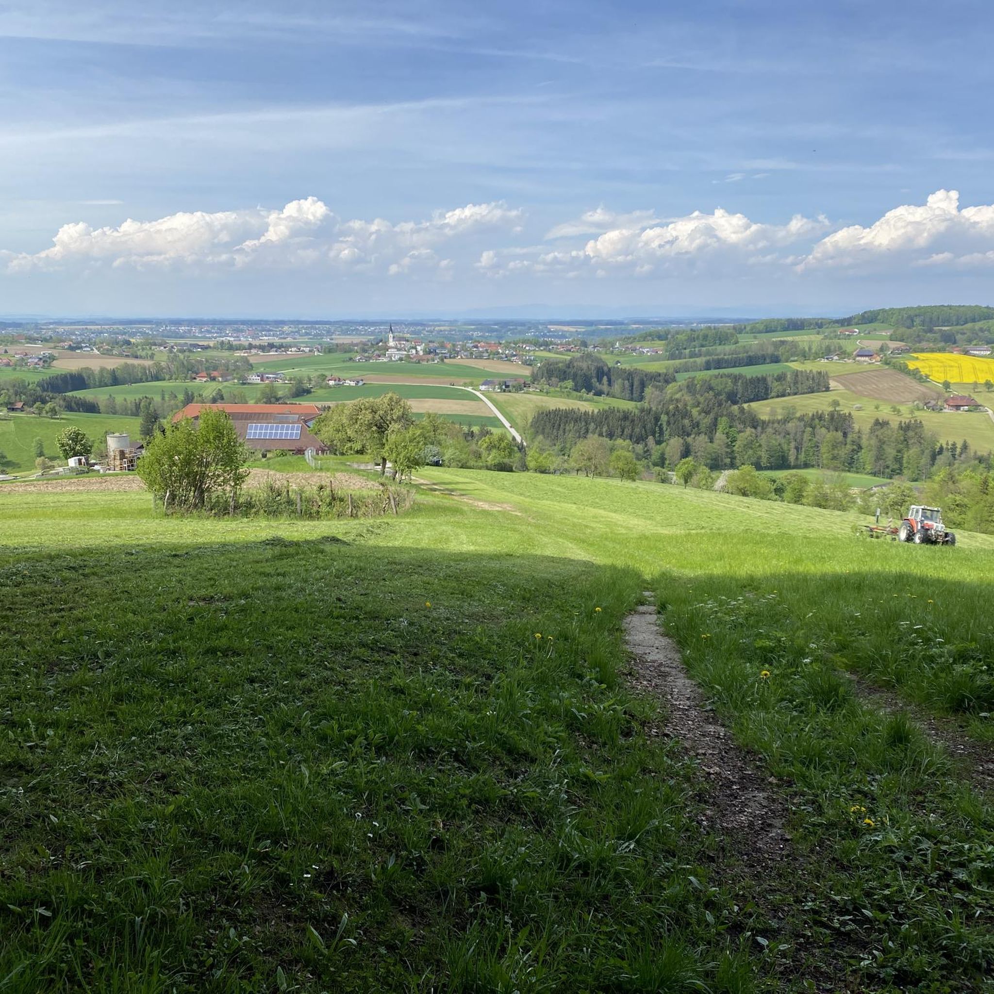
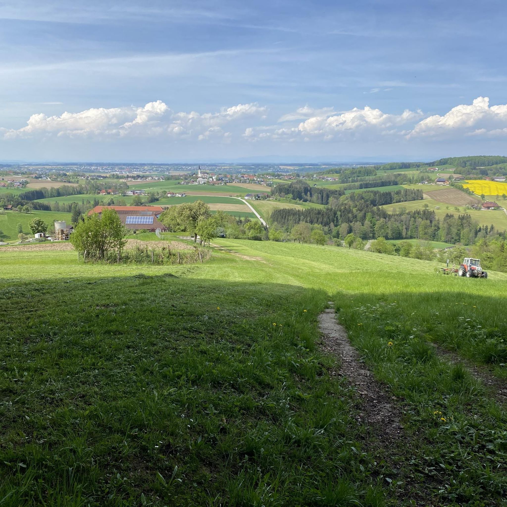
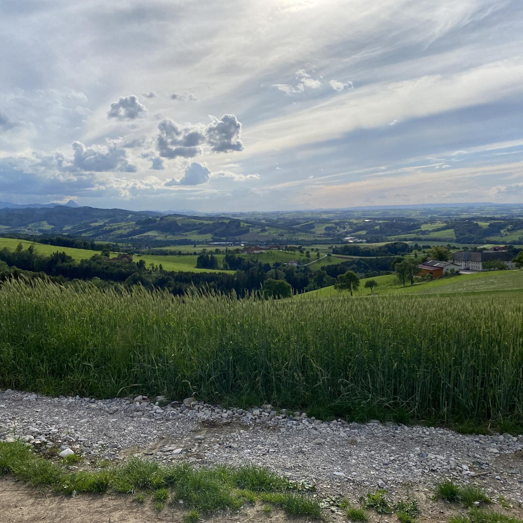
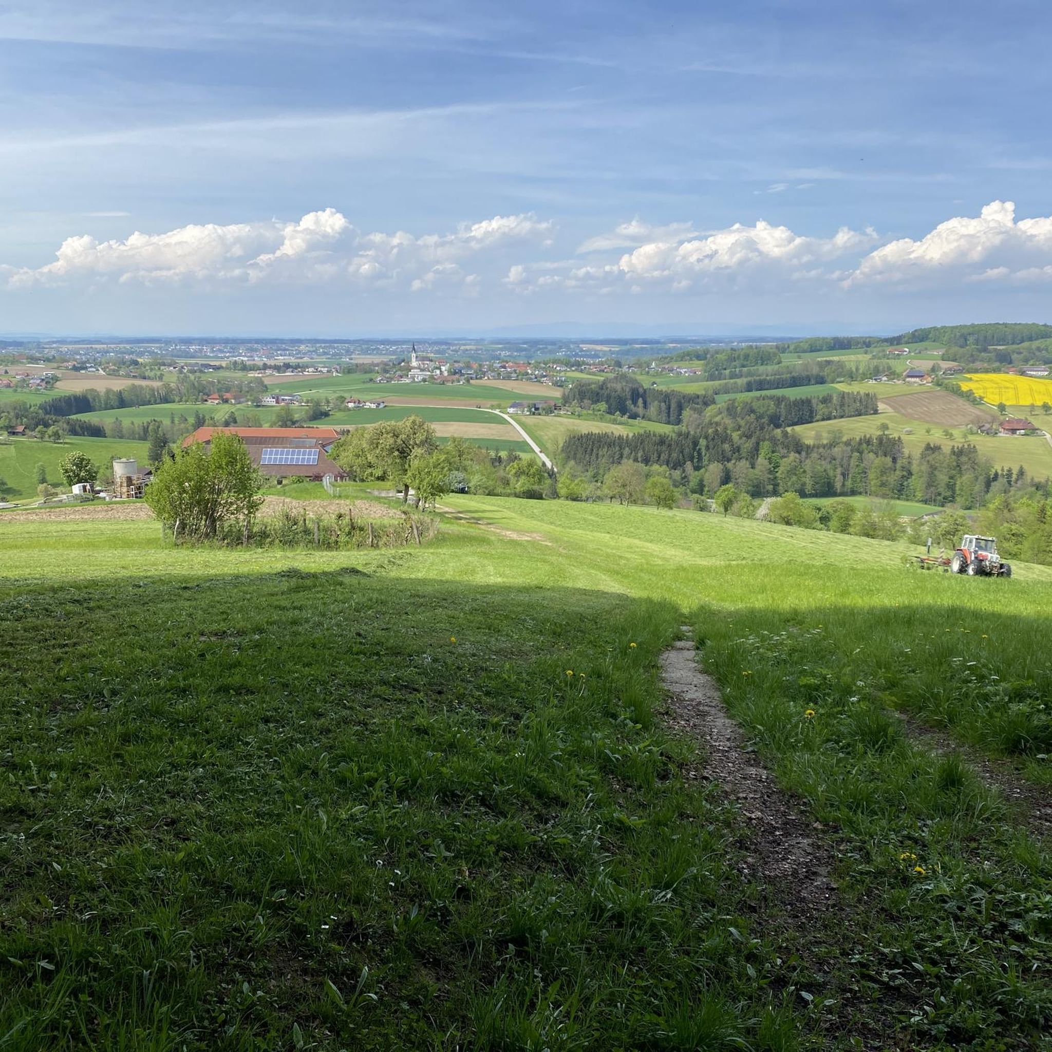
Tips from the Community

For the hiker lingering before the summit cross of the Gaisberg, I offer the viewer, who does not just want to enjoy the view, a core quote from Clive Staples Lewis (1898-1963), whom Wikipedia honors as "one of the most influential Christian apologists of modern times": + "I believe in Christianity as I believe that the sun has risen, not only because I see it, but because by it I see everything else."
0
0

The multi-peaked mountain ridge of the Schoberstein group stretches from west to east.
6
0
The multi-peaked mountain ridge of the Schoberstein group stretches from west to east.
6
0
The multi-peaked mountain ridge of the Schoberstein group stretches from west to east.
5
0
The multi-peaked mountain ridge of the Schoberstein group stretches from west to east.
5
0
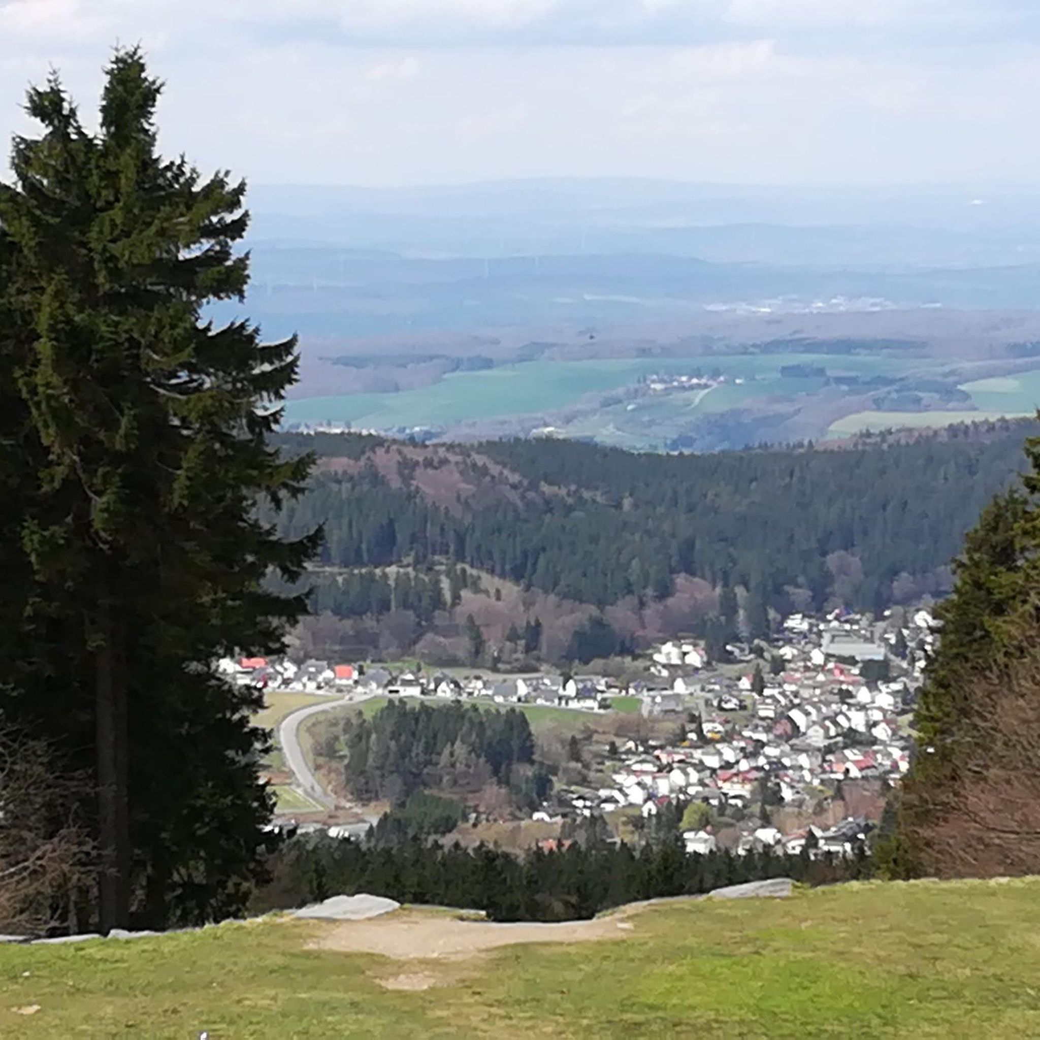
Magnificent views of the Steyrtal National Park region
5
0
The memorial plaque is a visible sign of the early alpine work of the nature enthusiasts and a popular resting point on the way to the summit.
5
0

The Schoberstein road leads through the quarry to Mandlmais – but is it marked as a cycling ban here, or is it not (the sign has been covered over)? The alternative is a 180-meter descent to Trattenbach and back up again (but was currently closed due to logging work).
0
0
Frequently Asked Questions
What types of mountaineering routes can I find around Aschach an der Steyr?
The region offers a diverse network of trails. While direct alpine mountaineering isn't centered in Aschach an der Steyr itself, you'll find routes ranging from moderate to difficult, traversing the picturesque Steyr Valley. There are 7 moderate and 6 difficult routes available, providing options for various fitness levels and alpine experience.
Are there any challenging mountaineering routes for experienced hikers?
Yes, for experienced mountaineers, there are several challenging routes. For instance, the Dürres Eck Summit loop from Rieserberg is a difficult 11.2 km (6.9 miles) trail with significant elevation gain, typically taking over 5 hours. Another demanding option is the Schoberstein – Schobersteinhaus loop from Trattenbach, covering nearly 12 km (7.5 miles) with substantial ascents.
What natural landmarks or viewpoints can I expect to see on these routes?
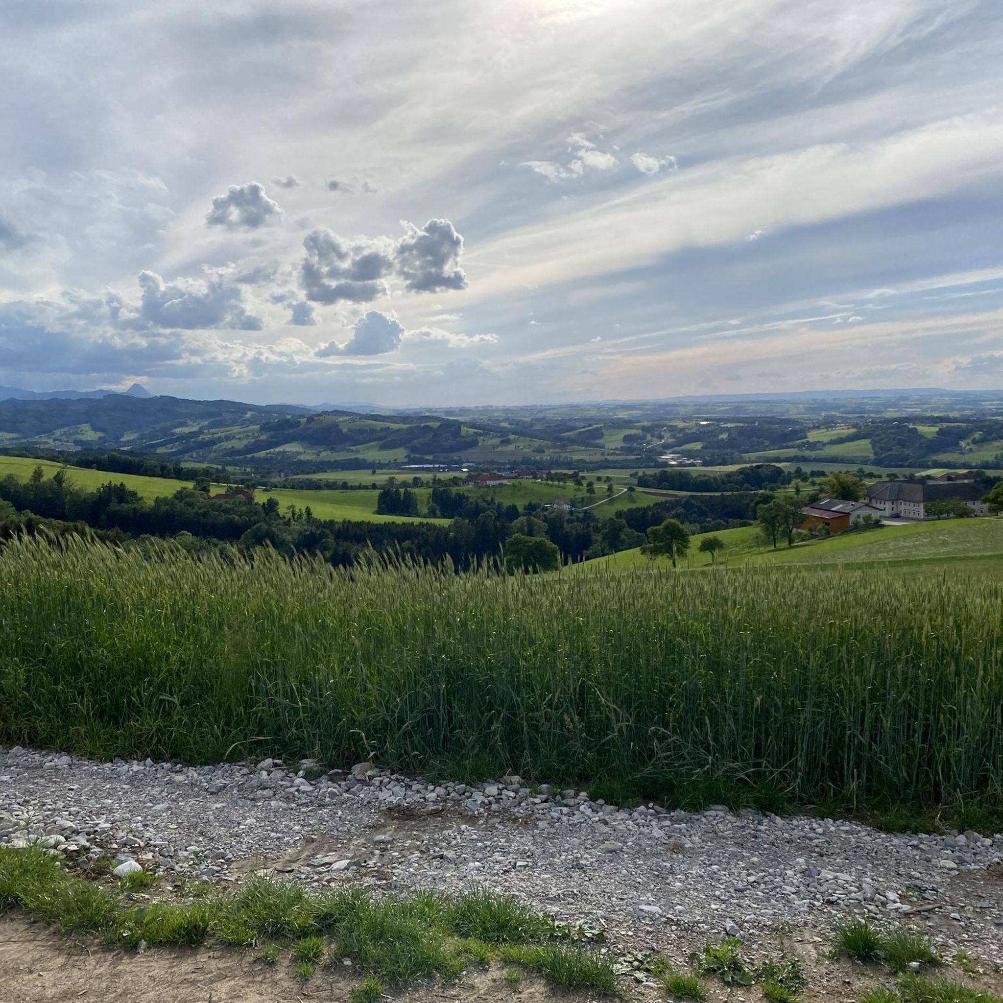
The routes in the Steyr Valley offer scenic views, especially across the four quarters of Upper Austria on clear days. You can also explore natural features like the Großer Landsberg summit or the unique Dripping Wall. For impressive water features, consider visiting the Fallerbucht Waterfall or the Dorngraben Waterfall.
Are there any circular mountaineering trails available?
Yes, many routes are designed as loops. A popular circular option is the Schobersteinhaus – Wooden Gnome Fountain loop from Paragleiten Schoberstein Landeplatz 3, which is a difficult 5.2 km (3.2 miles) trail. Another is the Schoberstein – Schobersteinhaus loop from Beisteinmauer, a longer difficult route at 11.4 km (7.0 miles).
What is the best time of year for mountaineering around Aschach an der Steyr?
The region is suitable for outdoor activities for much of the year. Spring to autumn generally offers the most favorable conditions for mountaineering, with pleasant temperatures and accessible trails. While some trails might be passable in winter, specific winter mountaineering experience and gear would be necessary due to potential snow and ice conditions, especially on higher or more exposed sections.
Is the area around Aschach an der Steyr suitable for family-friendly mountaineering?
While many routes are rated moderate to difficult, the broader area around Aschach an der Steyr offers a diverse network of trails. For families, it's best to look for shorter, less steep paths. The region research mentions 'easy paths taking up to two hours with minimal elevation gain,' which would be more appropriate for families, though these might not be classified as 'mountaineering' in the strictest sense. Always check the specific route details for elevation and duration to ensure it matches your family's capabilities.
Can I bring my dog on the mountaineering routes?
Generally, dogs are welcome on hiking trails in Austria, but it's always advisable to keep them on a leash, especially in forested areas, near livestock, or in nature protection zones. Always check local regulations or specific route descriptions for any restrictions regarding dogs before you go.
Are there opportunities for climbing or via ferratas nearby?
While Aschach an der Steyr itself focuses on hiking and mountaineering trails, its location provides access to the wider Steyr and Kalkalpen National Park region. This area is renowned for climbing, featuring over 1000 climbing routes across more than 20 climbing gardens, suitable for various skill levels. Via ferratas are also present in the nearby Reichraminger Hintergebirge, offering additional mountain activity options.
What do other mountaineers say about the routes in Aschach an der Steyr?
The mountaineering routes around Aschach an der Steyr are highly rated by the komoot community, with an average score of 4.2 stars from over 30 reviews. Many users appreciate the varied terrain, the scenic views across the Steyr Valley, and the proximity to the climbing areas of the Kalkalpen National Park.
Are there any less crowded or 'hidden gem' routes for a quieter experience?
While specific 'hidden gem' routes are not explicitly highlighted, to find a quieter experience, consider exploring routes that are not among the most popular or those that are longer and more challenging, as these tend to attract fewer people. The Schoberstein – Schobersteinhaus loop from Rieserberg, for example, is a longer difficult route at over 14 km (8.7 miles), which might offer a more secluded experience compared to shorter, more frequently used paths.
What are the elevation gains like on the mountaineering routes?
The elevation gains vary significantly depending on the route. For instance, the Schobersteinhaus – Wooden Gnome Fountain loop from Paragleiten Schoberstein Landeplatz 3 involves an ascent of over 500 meters (1,640 ft). More challenging routes like the Schoberstein – Schobersteinhaus loop from Beisteinmauer feature an elevation gain of over 820 meters (2,690 ft), while the Dürres Eck Summit loop from Rieserberg has an ascent of over 900 meters (2,950 ft).
Most popular routes around Aschach an der Steyr
Most popular attractions around Aschach an der Steyr

Get inspired with the komoot mobile app


Explore more
Browse the best Mountain Hikes & Routes in other regions.
