The best mountain hikes around Tux
4.7
(97)
513
hikers
36
hikes
Mountaineering routes around Tux traverse the high alpine landscapes of the Zillertal, characterized by rugged peaks, glacial valleys, and challenging ascents. The region offers a diverse range of terrain, from exposed ridges to forested slopes leading to panoramic summits. These routes often feature significant elevation gains and rocky sections, providing a true alpine experience.
Best mountaineering routes around Tux
- The most popular mountaineering route is Frauenwand Summit – Weiße Wand Summit (2,518 m) loop from Hintertuxer Gletscher, a 4.8 miles (7.8 km) trail that takes 3 hours 1 minute to complete. This difficult route offers ascents to two prominent summits with expansive views.
- Another top favourite among local mountaineers is Ramsjoch Summit – Torsee loop from Tux, a difficult 11.2 miles (18.0 km) path. This route leads through high alpine terrain to Ramsjoch Summit and past the Torsee lake.
- Local mountaineers also love the Hollenstein Rock Formation – Höllensteinhütte loop from Hintertux, a 9.8 miles (15.7 km) trail leading through alpine meadows and past rock formations, often completed in about 6 hours 27 minutes.
- Mountaineering around Tux is defined by high alpine peaks, glacial valleys, and challenging ascents. The network offers options for different ability levels, from moderate climbs to difficult summit routes.
- The routes in Tux are highly rated by the komoot community with an average score of 4.5 stars from over 80 reviews. More than 400 mountaineers have used komoot to explore Tux's varied terrain.
Last updated: August 18, 2026
4.6
(8)
58
hikers
Moderate mountaineering route. Good fitness required. Mostly accessible paths. Sure-footedness required.
4.8
(16)
49
hikers
7.59km
02:57
470m
470m
Hard mountaineering route. Good fitness required. Sure-footedness, sturdy shoes and alpine experience required.

Sign up for free
5.0
(4)
31
hikers
18.0km
07:10
1,260m
1,260m
Hard mountaineering route. Very good fitness required. Mostly accessible paths. Sure-footedness required.
4.0
(4)
32
hikers
16.0km
06:30
920m
920m
Hard mountaineering route. Very good fitness required. Mostly accessible paths. Sure-footedness required.
4.7
(6)
28
hikers
17.7km
06:39
1,060m
1,060m
Hard mountaineering route. Very good fitness required. Mostly accessible paths. Sure-footedness required.
Get access to more routes and recommendations from other explorers.
Sign up for free
Already have an account?
Our route recommendations are based on thousands of hikes, rides, and runs completed by other people on komoot.
Start today with a free account
Your next adventure awaits.
Login or Signup
Popular around Tux

Via Venezia Alpina – hiking across the Alps to the Adriatic Sea
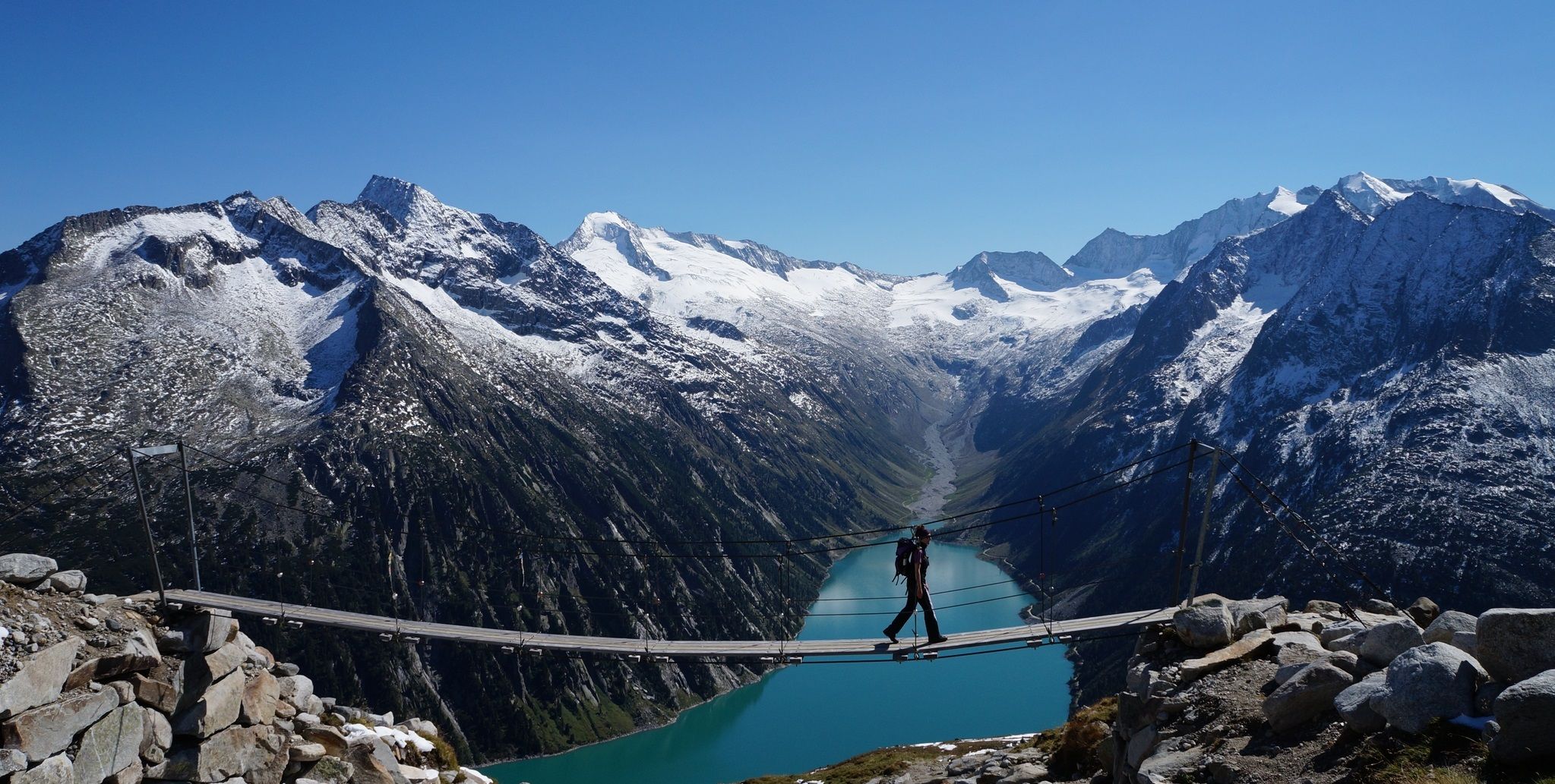
The Peter Habeler loop — an alpine trail around the Olperer

The "Dream Path" hiking trail – From Munich to Venice in 28 stages
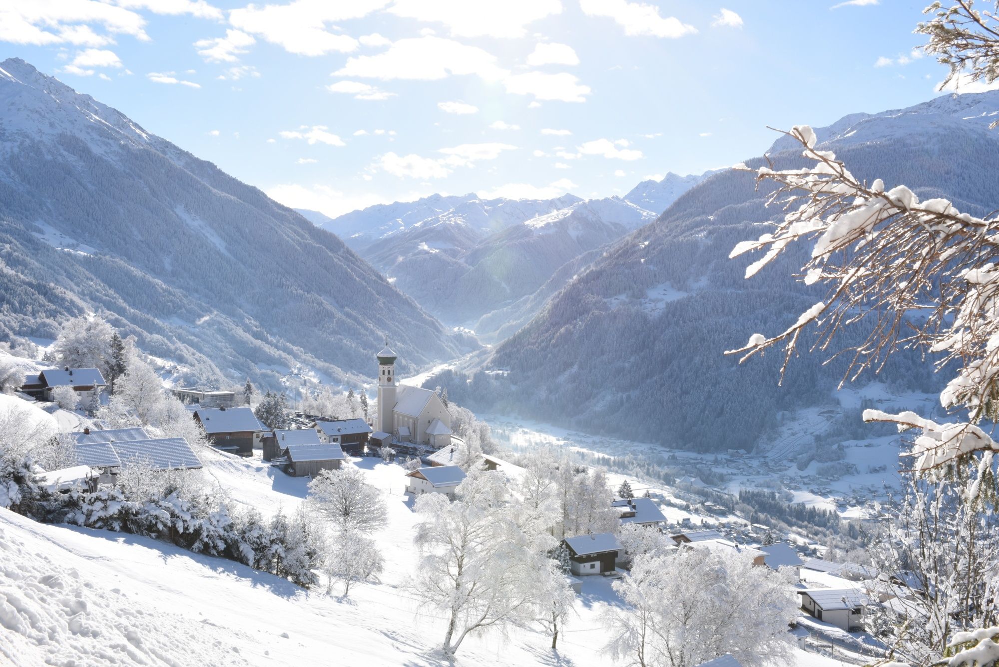
Tobogganing, ice bathing and hiking – winter away from the slopes
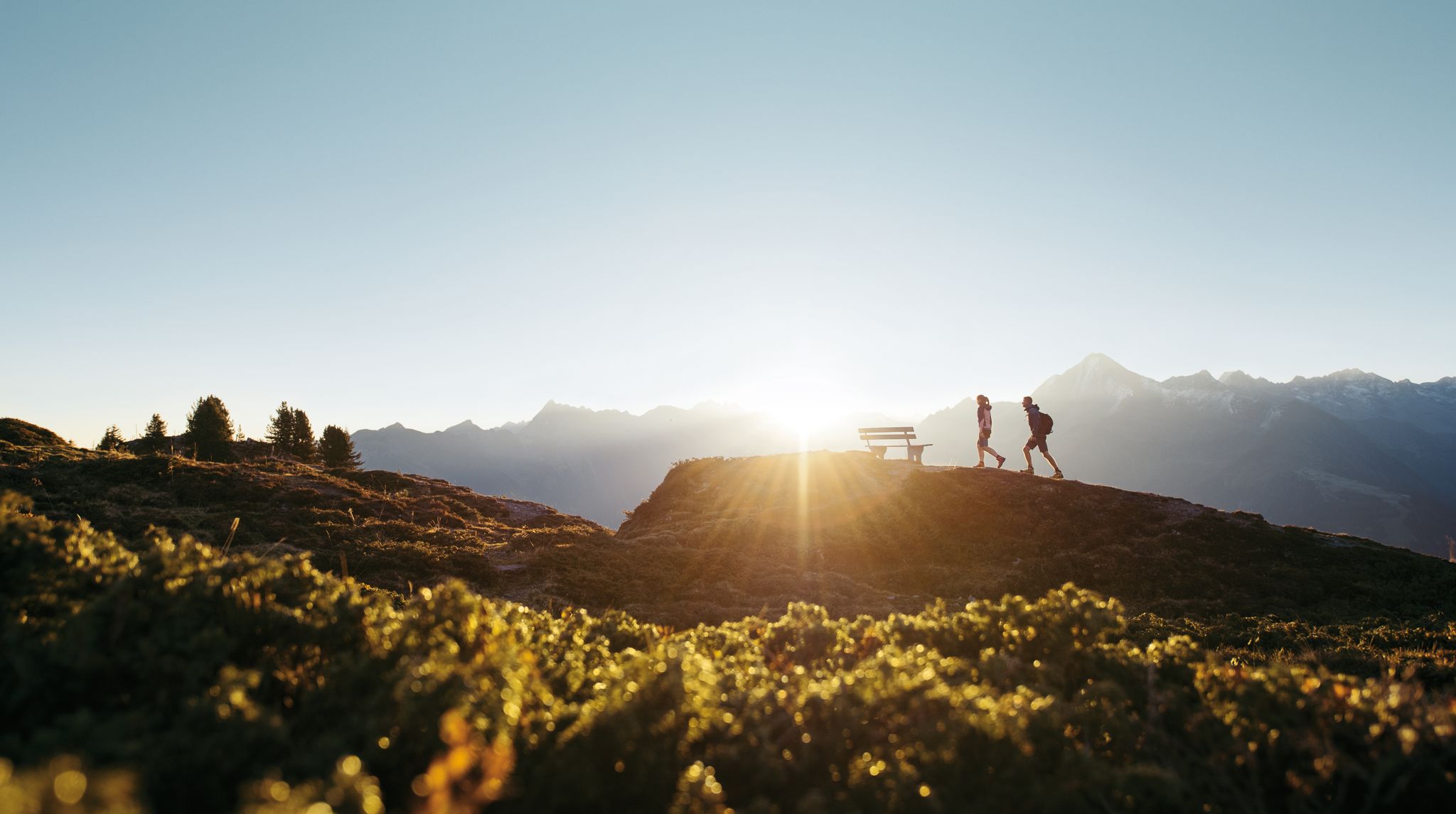
A peaceful haven in the mountains – hiking in Zillertal
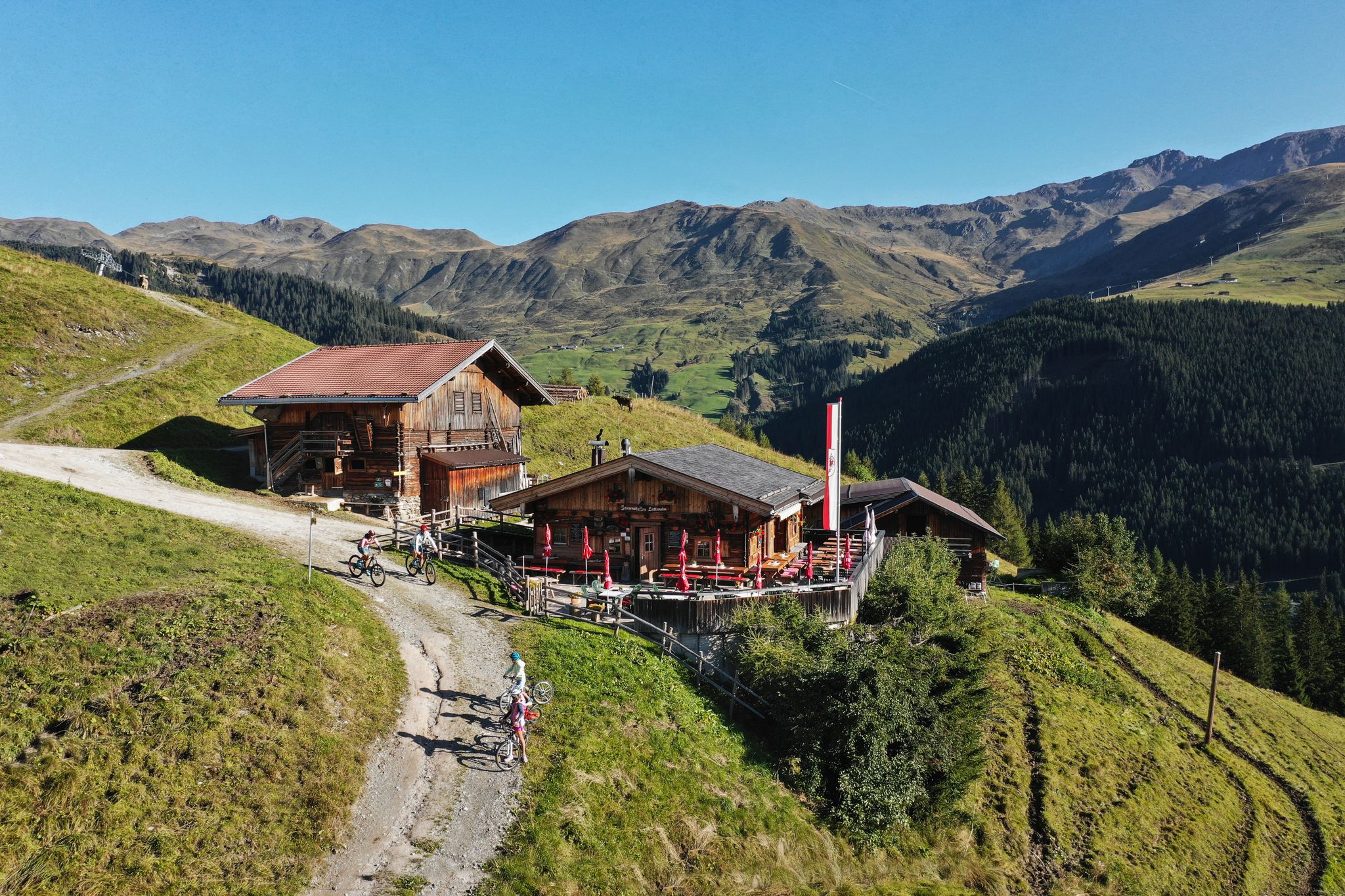
Hut hiking fun in Zillertal
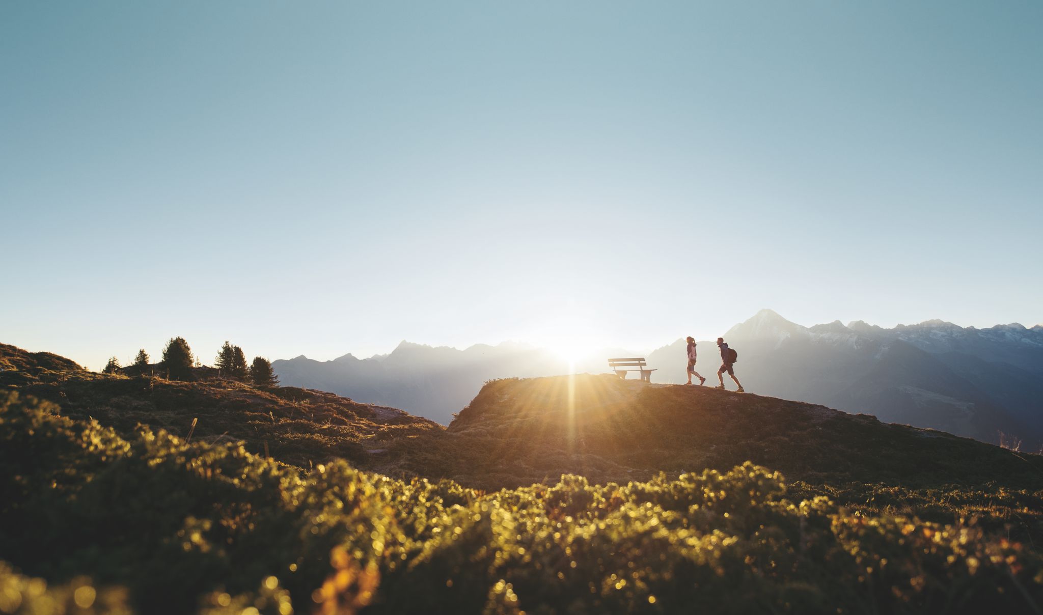
Discover the Zillertal Valley in Austria on eight varied walks

An alpine adventure – from east to west through Austria

The most beautiful waterfalls of the Alps
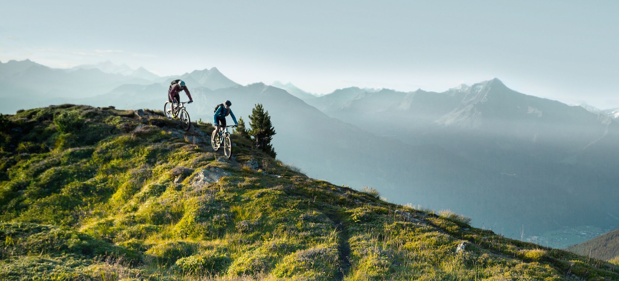
Feine Trails vor herrlicher Kulisse – mit dem MTB im Zillertal
Other adventures around Tux


Tips from the Community

Oh yes, I forgot to name the alpine pasture where it is a bit too natural (the paths above the alpine pasture are boggy and muddy, completely paved with cow dung), it is the "Naasse Tux-Alm" where alpine life takes place in its purest form!
0
0
The tour isn't exactly a hit at the beginning (over the boring paths of the Eggalm ski slope) and at the end, well, I'd say. Especially the completely unkempt and completely filthy trails covered in cow manure (which is just the way it is with an alpine pasture, but more pronounced than average in this section) aren't so great. However, most of the tour over the Grüblspitze and the Ramsjoch is incredibly beautiful. The Torseen Lakes are romantically situated in a quiet part of the tour, nestled in a valley basin that borders a restricted military area. Overall, however, the tour is truly beautiful and varied; the section between Grüblspitze - Ramsjoch - Torseen is a dream. After that, as mentioned, it gets a bit dirty and, in the end, quite tough all the way to the valley station. KH.Weller (Outdoorfan on September 25, 2025)
0
0

A great all-round view and a wonderful panorama in every direction.
0
0
The meadows in June are lush green and there are many colorful wildflowers, but the descent to Stoankasern somehow seems far too long.
0
0
A view of the glacier is beautiful from any direction. Unfortunately, I feel like every year you can see with the naked eye how the glacier is shrinking.
0
0
It's a wonderful feeling to reach the summit cross. There's also a stamp station here.
0
0

There is very delicious cheese here and it is worth stopping in, there is good classic food.
0
0

The cozy Lattenalm in Tux is open summer and winter. Enjoy Tyrolean delicacies and good home-cooked meals on the sun terrace or in the rustic interior. Find more information at https://www.lattenalm.at/.
1
1
Frequently Asked Questions
How many mountaineering routes are available around Tux?
There are nearly 40 mountaineering routes around Tux documented on komoot, offering a wide range of experiences from moderate climbs to challenging summit ascents. The region is known for its high alpine landscapes, rugged peaks, and glacial valleys.
Are there any easy mountaineering routes suitable for beginners in Tux?
Yes, while many routes are challenging, there are a few easier mountaineering options. Komoot lists 2 easy routes and 19 moderate routes, which can be a good starting point for those with less experience or looking for a less strenuous day in the mountains.
What is the best time of year for mountaineering in Tux?
The best time for mountaineering in Tux is typically from late spring to early autumn (June to September) when the trails are mostly free of snow and weather conditions are more stable. Always check local weather forecasts and trail conditions before heading out, as high alpine weather can change rapidly.
Are there any circular mountaineering routes in Tux?
Yes, many of the mountaineering routes in Tux are designed as loops, allowing you to start and end at the same point. For example, the challenging Frauenwand Summit – Weiße Wand Summit (2,518 m) loop from Hintertuxer Gletscher is a popular circular option, offering ascents to two prominent summits.
What kind of natural sights can I expect to see along the mountaineering routes?
The Tux region is rich in natural beauty. Along the routes, you might encounter stunning mountain peaks like Rastkogel Summit or Grüblspitze. You can also discover beautiful lakes such as the Schlegeis Reservoir and impressive waterfalls like the Schleier Waterfall.
Are there any huts or places to stop for refreshments along the trails?
Yes, some mountaineering routes in Tux pass by mountain huts or alpine pastures where you can stop for refreshments. For instance, the Hollenstein Rock Formation – Höllensteinhütte loop from Hintertux leads past the Höllensteinhütte, offering a chance to rest and refuel.
What do other mountaineers say about the routes in Tux?
The mountaineering routes in Tux are highly regarded by the komoot community, with an average rating of 4.5 stars from over 80 reviews. Users frequently praise the diverse terrain, the challenging ascents, and the breathtaking high alpine views.
Can I reach the starting points of mountaineering routes by public transport?
Tuxertal has a well-developed public transport network, including a free sports bus during peak seasons, which connects various villages and lifts. Many trailheads are accessible via these services, making it convenient to reach your starting point without a car. It's advisable to check local bus schedules for specific routes.
Are there any particularly challenging routes for experienced mountaineers?
Absolutely. Tux offers 16 difficult mountaineering routes for experienced climbers. A notable challenging option is the Ramsjoch Summit – Torsee loop from Tux, an 18 km path leading through high alpine terrain to Ramsjoch Summit and past the scenic Torsee lake.
What kind of wildlife might I encounter while mountaineering in Tux?
The alpine environment around Tux is home to various wildlife. Keep an eye out for chamois and ibex on rocky slopes, marmots in alpine meadows, and various bird species, including eagles and buzzards, soaring overhead. Remember to observe from a distance and respect their natural habitat.
Are there any less-known or 'hidden gem' routes in the Tux area?
While many routes are popular, you can find less-trafficked paths that offer a sense of solitude. The Tettensjoch Summit – Höllensteinhütte loop from Tux, for example, offers a challenging ascent with rewarding views, providing a great option for those looking to explore beyond the most frequented trails.
Most popular routes around Tux
Most popular attractions around Tux

Get inspired with the komoot mobile app


Explore more
Browse the best Mountain Hikes & Routes in other regions.
