The best mountain hikes around Aschau im Zillertal
4.8
(204)
1,820
hikers
82
hikes
Mountaineering around Aschau im Zillertal offers extensive routes within the Zillertal Alps, featuring a landscape of dense forests, vast alpine pastures, and wild side valleys. The region is home to prominent peaks such as Isskogel Summit (2,264 m) and Rastkogel Summit (2,750 m), providing varied terrain for ascents. The Ziller River flows through the valley, contributing to the diverse natural features of this Austrian Tyrol destination.
Best mountaineering routes around Aschau im Zillertal
- The most popular mountaineering route is Wedelhütte…
Last updated: October 11, 2026
5.0
(1)
30
hikers
11.3km
04:15
750m
750m
Hard mountaineering route. Good fitness required. Sure-footedness, sturdy shoes and alpine experience required.
5.0
(1)
14
hikers
11.9km
03:57
590m
580m
Moderate mountaineering route. Good fitness required. Mostly accessible paths. Sure-footedness required.

5.0
(3)
14
hikers
13.5km
05:56
760m
760m
Hard mountaineering route. Very good fitness required. Sure-footedness, sturdy shoes and alpine experience required.
10
hikers
15.4km
05:57
780m
780m
Hard mountaineering route. Very good fitness required. Sure-footedness, sturdy shoes and alpine experience required.
11
hikers
5.15km
02:35
410m
410m
Moderate mountaineering route. Good fitness required. Mostly accessible paths. Sure-footedness required.
Get access to more routes and recommendations from other explorers.
Already have an account?
Our route recommendations are based on thousands of hikes, rides, and runs completed by other people on komoot.
Start today with a free account
Your next adventure awaits.
Popular around Aschau im Zillertal
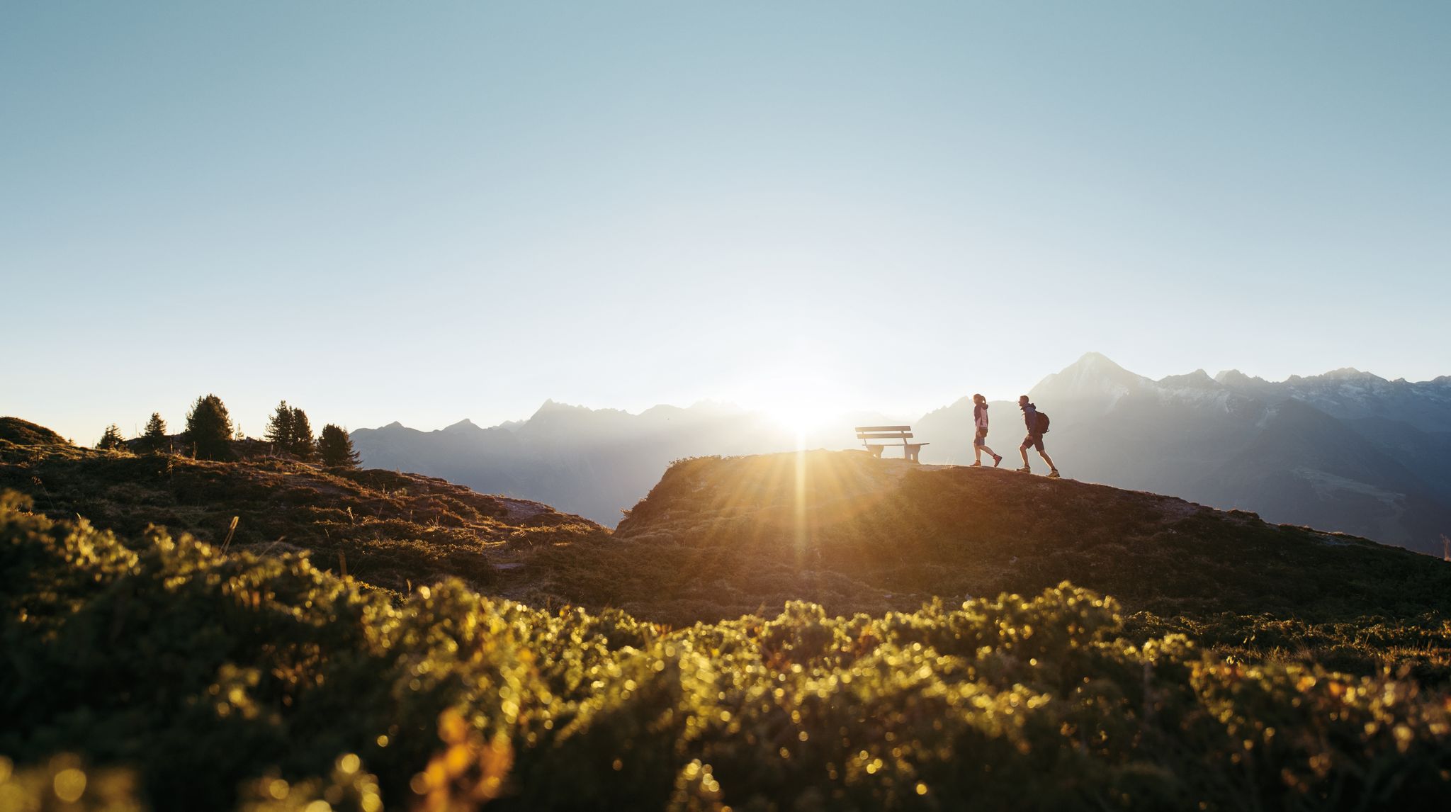
A peaceful haven in the mountains – hiking in Zillertal
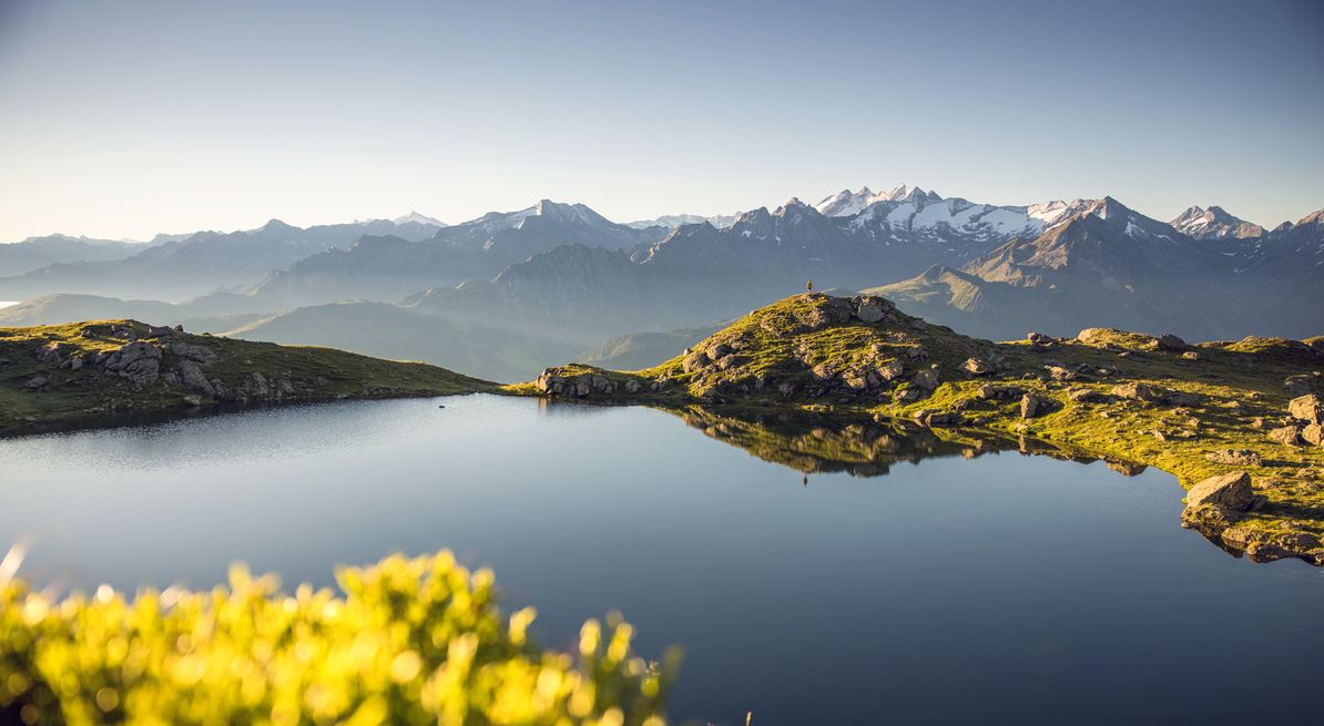
Panoramic hiking Tours with a far-reaching view in the Zillertal
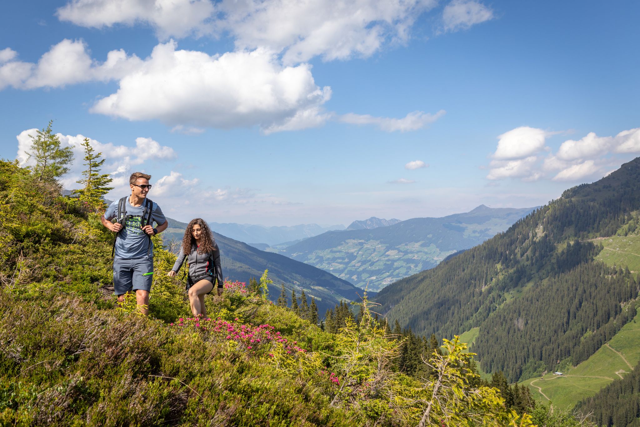
15 hikes in Austria’s Zillertal Valley – exploring the Fügen-Kaltenbach region

Hiking around Aschau im Zillertal

Cycling around Aschau im Zillertal

MTB Trails around Aschau im Zillertal

Road Cycling Routes around Aschau im Zillertal

Running Trails around Aschau im Zillertal

Gravel biking around Aschau im Zillertal
Other adventures around Aschau im Zillertal


Tips from the Community

The Gedrechter (also called Gedrechter Gipfel) is a 2,217-meter-high mountain in the Tux Alps in Tyrol. It is located on the western valley slope of the Zillertal. Due to its free, exposed location, it is considered a first-class panoramic mountain and offers an impressive 360-degree view of the Zillertal Alps. While its slopes are part of the Hochfügen-Hochzillertal ski area in winter, it is a popular and easily accessible destination for hikers and families in summer. [1, 2, 3]
0
0
The Gedrechter (also called Gedrechter Gipfel) is a 2,217-meter-high mountain in the Tux Alps in Tyrol. It is located on the western slope of the Zillertal valley. Due to its open, exposed location, it is considered a first-class panoramic mountain and offers an impressive 360-degree view of the Zillertal Alps. While its slopes are part of the Hochfügen-Hochzillertal ski area in winter, it is a popular and easily accessible destination for hikers and families in summer.
0
0
The Marchkopf is a magnificent viewpoint mountain in the Tux Alps, right on the border with the Zillertal. Due to its location on the edge of the Hochzillertal/Hochfügen ski area, it offers a fantastic panorama of the Zillertal Alps and the Karwendel.
0
0
At the summit, an impressive 360° panorama awaits with views of the Zillertal Alps, the Karwendel, and the surrounding mountains.
0
0

A beautiful and scenic ridge hike with panoramic views of the Zillertal Alps and the Inn Valley. Partially marked as T3 (shortly before the Kreuzjoch summit) as the path is exposed in sections and secured with ropes. Otherwise, a very pleasant ridge hike.
0
0
The rope definitely provides a sense of security when you want to pass on this partly very narrow section.
0
0

Extremely great panoramic view. Highly recommended. Also works well as a Bike n Hike, as you definitely have to walk the last 200 m on foot or carry the bike. You can probably get down as a really good experienced mountain biker, but I can't recommend it!
0
0
Frequently Asked Questions
How many mountaineering routes are available around Aschau im Zillertal?
There are nearly 100 mountaineering routes around Aschau im Zillertal, offering a wide range of options for different skill levels. This includes 4 easy routes, 42 moderate routes, and 50 difficult routes, ensuring there's a suitable adventure for everyone.
Are there any easy or beginner-friendly mountaineering routes in the area?
Yes, Aschau im Zillertal offers 4 easy mountaineering routes suitable for beginners or those looking for a less strenuous experience. While specific easy routes are not detailed here, the region's extensive network includes options that cater to various experience levels, including gentle ascents and scenic paths.
What are some notable natural features or landmarks I can see on a mountaineering tour?
The Zillertal Alps are rich in natural beauty. You might encounter stunning summits like the Kreuzjoch summit cross or the Gerlosstein Summit Cross. Other highlights include the picturesque Penkenjoch Reservoir and Granat Chapel, and the impressive Harter Schleier Waterfall. The region also features dense forests, vast alpine pastures, and wild side valleys.
Are there any circular mountaineering routes around Aschau im Zillertal?
Yes, many routes in the region are designed as loops. For example, the difficult Wedelhütte – Wimbachkopf Summit (2,442 m) loop from Zellberg offers rewarding views. Another popular moderate option is the Fichtenschloss Rosenalm – Karspitze Summit loop from Kinderwagenparkplatz, which provides scenic panoramas and varied alpine scenery.
What is the best time of year for mountaineering in Aschau im Zillertal?
The best time for mountaineering in Aschau im Zillertal is typically from late spring to early autumn (May to October), when the trails are clear of snow and the weather is generally stable. During these months, you can fully enjoy the alpine pastures and summit views. Always check local weather conditions before heading out.
What do other mountaineers say about the routes in Aschau im Zillertal?
The mountaineering routes in Aschau im Zillertal are highly regarded by the komoot community, with an average rating of 4.8 stars from over 230 reviews. Mountaineers often praise the diverse terrain, from challenging summit ascents to scenic alpine paths, and the breathtaking views of the Zillertal Alps.
Are there any family-friendly mountaineering options?
While many mountaineering routes can be challenging, the region does offer easier trails suitable for families. For instance, the Ziller Valley Panorama Trail is known as an easier route with spectacular views. When planning, look for routes described as 'easy' or 'moderate' and consider those accessible via cable car for a less strenuous start.
Can I bring my dog on mountaineering routes in Aschau im Zillertal?
Many trails in the Zillertal Alps are dog-friendly, but it's always advisable to check specific route regulations and local signage. Ensure your dog is well-behaved, on a leash where required, and capable of handling the terrain. Remember to carry enough water for both yourself and your pet.
How long do mountaineering routes near Aschau im Zillertal typically take?
The duration of routes varies significantly based on difficulty and distance. For example, the moderate View into the valley – Karspitze Summit loop from Kinderwagenparkplatz can be completed in about 3 hours 55 minutes, while the difficult Fichtenschloss Rosenalm – Legal Alm – Kreuzjochhütte loop from Kinderwagenparkplatz might take around 5 hours 3 minutes. Always factor in your fitness level and planned breaks.
Are there any less crowded or hidden gem mountaineering trails in the Zillertal?
While popular routes attract many visitors, the extensive network of trails in the Zillertal Alps means you can often find quieter paths, especially outside peak times or by exploring the wild, romantic side valleys. Look for routes that venture slightly off the main tourist paths to discover more secluded spots and enjoy the tranquility of the mountains.
What should I wear for summer mountaineering in the Zillertal?
For summer mountaineering in the Zillertal, it's essential to dress in layers. Opt for moisture-wicking base layers, a mid-layer for warmth, and a waterproof/windproof outer shell. Sturdy hiking boots with good ankle support are crucial. Don't forget sun protection (hat, sunglasses, sunscreen), a backpack with water, snacks, and a first-aid kit, as weather conditions can change rapidly in the mountains.
Are there opportunities for climbing in the Aschau im Zillertal region?
Yes, the region is known for its climbing facilities. Areas like 'Kraxl-Maxl' offer routes of varying difficulty, and 'Waidringstein' provides adventurous experiences on steep rock faces for experienced climbers. These options complement the extensive mountaineering trails available.
Most popular routes around Aschau im Zillertal
Most popular attractions around Aschau im Zillertal

Get inspired with the komoot mobile app


Explore more
Browse the best Mountain Hikes & Routes in other regions.
