The best running trails around Carrowkeel
105
runners
15
runs
Jogging around Carrowkeel offers a unique experience through County Sligo's distinctive landscapes. The region is characterized by the Bricklieve Mountains, featuring hard limestone hills and blanket bog-covered terraces, providing a rugged and scenic backdrop. Runners can explore unique limestone plateaus and glacial valleys, with trails ranging from old bog roads to single-track paths through heather. Panoramic views of Lough Arrow, Benbulben, and Knocknarea are common along many routes.
Best jogging routes around Carrowkeel
- The most popular jogging route is Castle…
Last updated: June 29, 2026
8
runners
8.51km
00:53
40m
40m
Moderate run. Good fitness required. Mostly paved surfaces. Suitable for all skill levels.
7
runners
9.59km
01:00
70m
70m
Moderate run. Good fitness required. Mostly paved surfaces. Suitable for all skill levels.

Sign up for free
3
runners
13.0km
01:21
90m
90m
Moderate run. Good fitness required. Mostly paved surfaces. Suitable for all skill levels.
7
runners
6.01km
00:37
40m
40m
Moderate run. Good fitness required. Mostly paved surfaces. Suitable for all skill levels.
4
runners
16.1km
01:40
80m
80m
Hard run. Very good fitness required. Mostly paved surfaces. Suitable for all skill levels.
Get access to more routes and recommendations from other explorers.
Sign up for free
Already have an account?
Our route recommendations are based on thousands of hikes, rides, and runs completed by other people on komoot.
Start today with a free account
Your next adventure awaits.
Login or Signup
Popular around Carrowkeel

Tips from the Community

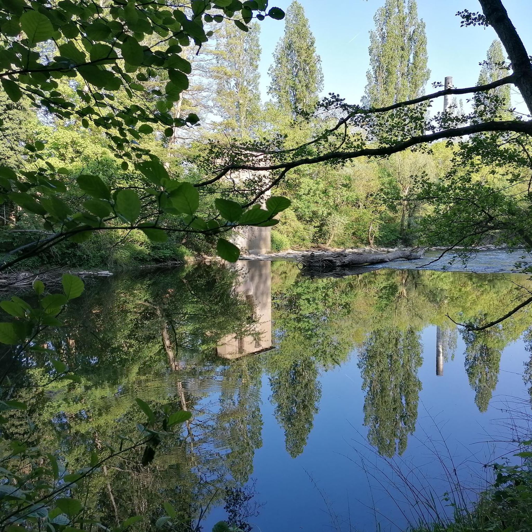
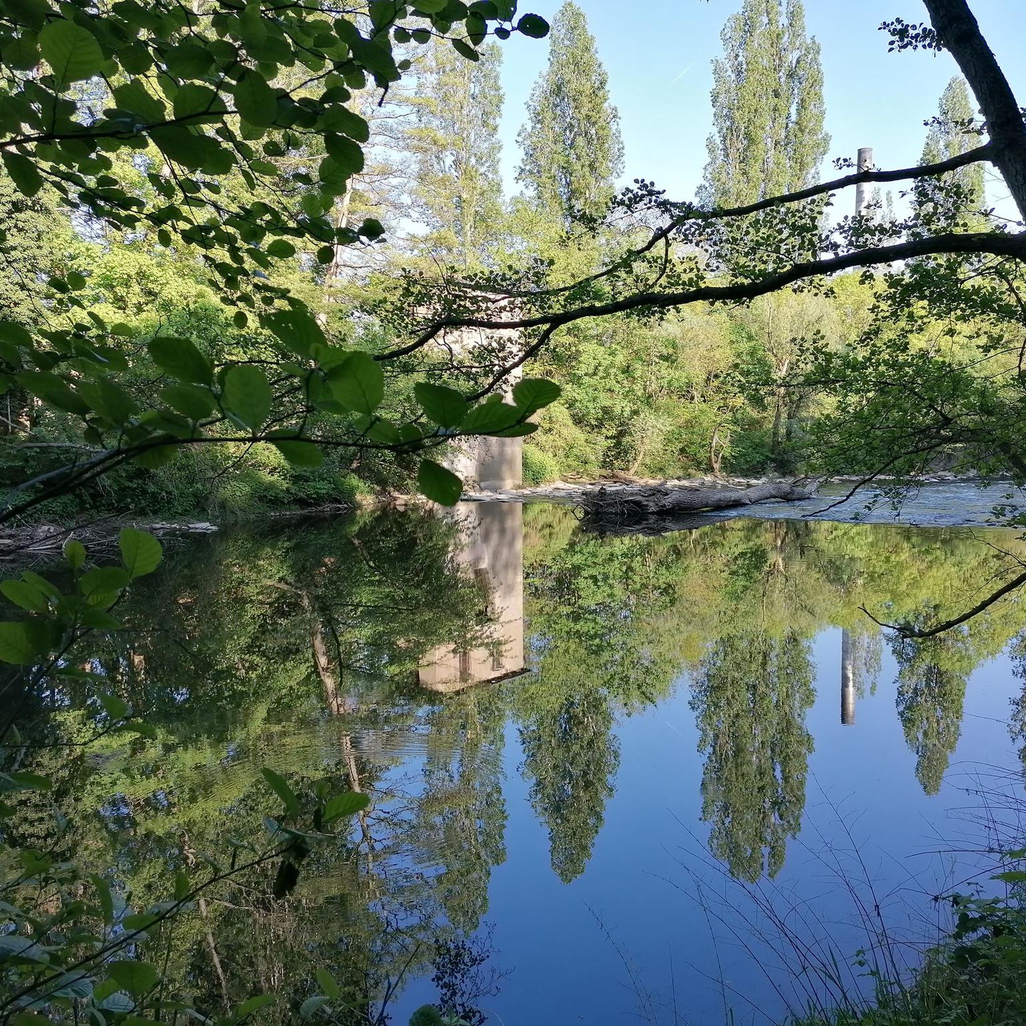
Refresh your senses at you run by this lovely lough situated just outside of Enniskillen's town centre in County Fermanagh.
1
0

In this cemetery are some very beautiful Celtic crosses.
1
0
Frequently Asked Questions
How many running routes are available around Carrowkeel?
There are over 15 dedicated jogging and running routes around Carrowkeel listed on komoot. These routes offer a variety of experiences, from moderate paths to more challenging trails through the Bricklieve Mountains.
What kind of terrain can I expect on the jogging trails in Carrowkeel?
The terrain in Carrowkeel is quite diverse, featuring hard limestone hills, blanket bog-covered terraces, and unique limestone plateaus. You'll encounter old bog roads, single-track paths through boggy areas and heather, and even some sections that transform into sheep trails. Appropriate footwear is recommended, especially when conditions are wet.
Are there any easy or beginner-friendly running routes in Carrowkeel?
While many routes in Carrowkeel are rated moderate or difficult due to the varied terrain and elevation changes, there are options suitable for a steady run. For example, the Running loop from Maguiresbridge is a moderate 8.5 km path that provides a mix of local roads and paths, which can be a good starting point.
What historical sites or natural attractions can I see while jogging in Carrowkeel?
Carrowkeel is rich in history and natural beauty. Many routes offer panoramic views of Lough Arrow, Benbulben, and Knocknarea. You can also run amidst one of Ireland's largest concentrations of Neolithic passage tombs, dating back 5,000 to 5,800 years. The area also features the remains of an ancient Neolithic village in Mullaghfarna.
Are there any circular running routes in the Carrowkeel area?
Yes, several popular routes are circular, allowing you to start and finish at the same point. Examples include the Castle Coole – Lough Coole loop from Castle Coole, which is 9.1 km, and the Racecourse Lough – Celtic Crosses Cemetery loop from Castle Coole, a 10.3 km trail with historical elements.
Is Carrowkeel suitable for family-friendly jogging or walks?
Carrowkeel offers a unique outdoor experience, but the terrain can be challenging with boggy sections and varied elevations. While specific routes are not explicitly designated as 'easy' for families, the sense of peace and the historical significance of the Neolithic tombs can make for an engaging outing. Shorter, less strenuous sections of trails might be suitable for older children who are used to walking on uneven ground.
Can I bring my dog on the running trails in Carrowkeel?
Many outdoor areas in Ireland, including Carrowkeel, are generally dog-friendly, especially on public rights of way. However, given the presence of sheep trails and active farmland, it's crucial to keep dogs under strict control, preferably on a lead, to protect livestock and local wildlife. Always clean up after your pet.
What is the best time of year to go running in Carrowkeel?
The best time to run in Carrowkeel is generally during drier periods, typically late spring to early autumn, when the boggy sections are less challenging. On a clear day, the panoramic views are exceptional. Winter conditions can make trails more difficult due to wet and potentially icy terrain, requiring appropriate gear and caution.
Where can I find parking for the running routes in Carrowkeel?
Parking is typically available near the main access points for Carrowkeel's trails, often at designated car parks close to the Neolithic tombs or trailheads. Specific parking details can vary by route, so it's advisable to check the individual route descriptions on komoot for the most accurate information before your visit.
Is public transport available to reach the Carrowkeel jogging trails?
Carrowkeel is a relatively remote area, and direct public transport links to the trailheads are limited. Access is primarily by car. Some local bus services might operate to nearby towns, but reaching the specific starting points of the jogging routes would likely require a taxi or a significant walk from the nearest stop.
Are there any cafes or amenities near the Carrowkeel running routes?
Carrowkeel itself is a rural and unspoiled area, offering a sense of peace and solitude. As such, amenities like cafes or shops are not directly on the trails. You would need to visit nearby villages or towns for refreshments or facilities. It's recommended to bring your own water and snacks.
What do other runners enjoy most about jogging in Carrowkeel?
Runners often praise Carrowkeel for its unique blend of challenging mountain trails, breathtaking panoramic views, and the immersive historical experience of running amidst ancient Neolithic passage tombs. The sense of peace and solitude, away from crowds, is also frequently highlighted as a major draw.
Most popular routes around Carrowkeel

Get inspired with the komoot mobile app


Explore more
Browse the best Running Trails & Routes in other regions.
