The best mountain hikes around Pettnau
4.8
(262)
3,064
hikers
114
hikes
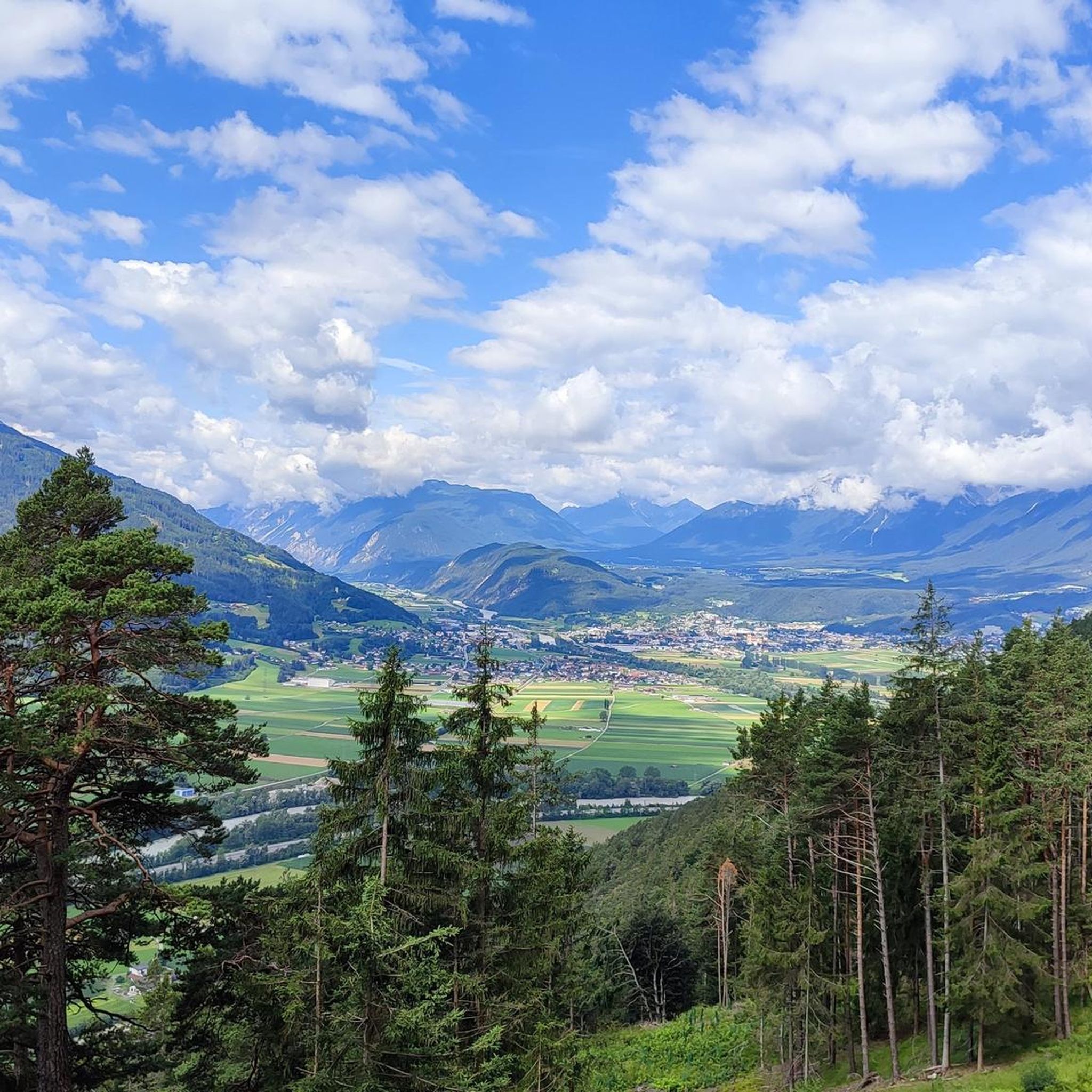
Mountaineering routes around Pettnau traverse diverse alpine landscapes, characterized by high peaks, dense coniferous forests, and open mountain pastures. The region offers varied terrain, from challenging ascents to more accessible paths through valleys. Elevation changes are significant, providing opportunities for both strenuous climbs and routes with rewarding views.
Best mountaineering routes around Pettnau
- The most popular mountaineering route is Härmelekopf Mountain Station – Nördlinger Hut loop from Seefeld in Tirol, a 6.9 miles (11.1 km) trail that takes 5…
Last updated: June 24, 2026
4.5
(6)
38
hikers
18.0km
08:11
1,230m
1,230m
Hard mountaineering route. Very good fitness required. Sure-footedness, sturdy shoes and alpine experience required.
5.0
(1)
17
hikers
13.4km
06:09
1,030m
1,030m
Hard mountaineering route. Very good fitness required. Mostly accessible paths. Sure-footedness required.

Sign up for free
5.0
(2)
14
hikers
14.7km
04:07
290m
290m
Moderate mountaineering route. Good fitness required. Easily-accessible paths. Suitable for all skill levels.
9
hikers
9.47km
04:56
890m
890m
Moderate mountaineering route. Good fitness required. Mostly accessible paths. Sure-footedness required.
5.0
(3)
6
hikers
13.6km
06:46
1,190m
1,190m
Hard mountaineering route. Very good fitness required. Sure-footedness, sturdy shoes and alpine experience required.
Get access to more routes and recommendations from other explorers.
Sign up for free
Already have an account?
Our route recommendations are based on thousands of hikes, rides, and runs completed by other people on komoot.
Start today with a free account
Your next adventure awaits.
Login or Signup

Tips from the Community

Here the funicular to the Rosshütte also starts.
0
0
One of the many fountains of the place
0
0
It's just the living room of the city. https://www.seefeld.com/de/infrastrukturen/pfarrkirche-st-oswald.html
0
0


The Seekirchl church is beautifully situated right next to the cross-country ski trail and is perfect for a photo. However, you won't be alone here while cross-country skiing.
0
0

Short, unproblematic ladder section on the way to the Reither Spitze, although the aluminum ladder does spring a little.
1
0

At the Schartlehnerhaus, a former inn, there are tables and benches for a relaxing break. It's beautifully situated, right at the tree line.
0
0

Beautiful town center with many places to stop for refreshments. The municipality lies on a plateau between the Wetterstein Mountains and the Karwendel Mountains, on an old road from Mittenwald to Innsbruck that has been important since the Middle Ages.
1
0
Frequently Asked Questions
What kind of mountaineering routes can I find around Pettnau?
Pettnau offers a diverse range of mountaineering routes, from moderate ascents through forests to challenging high-alpine trails with significant elevation gain. The region is characterized by high peaks, dense coniferous forests, and open mountain pastures, providing varied terrain for all skill levels.
Are there any accessible mountaineering routes for beginners in Pettnau?
While many routes in Pettnau are moderate to difficult, there are options suitable for those looking for a less strenuous experience. For example, the Seekirchl Church, Seefeld – Wildsee Seefeld loop from Reith bei Seefeld is a moderate route that offers beautiful scenery without extreme challenges.
What is the best season for mountaineering in Pettnau?
The prime season for mountaineering in Pettnau is typically from late spring to early autumn (June to September), when trails are generally free of snow and weather conditions are more stable. However, some lower-altitude routes may be accessible earlier or later in the season. Always check local weather and trail conditions before heading out.
Are there any circular mountaineering routes around Pettnau?
Yes, many mountaineering routes in Pettnau are designed as loops, allowing you to start and end at the same point. Popular circular options include the challenging Härmelekopf Mountain Station – Nördlinger Hut loop from Seefeld in Tirol and the moderate Schartlehnerhaus – Rauenkopf (2,012 m) loop from Reith bei Seefeld.
What are some interesting landmarks or attractions I can see along the mountaineering routes?
Mountaineering routes around Pettnau often pass by stunning natural and cultural highlights. You might encounter significant peaks like Seefelder Peak or Reither Spitze Summit. There are also mountain huts such as Nördlinger Hut, and picturesque spots like the Eastern shore of Lake Möserer See.
Are there mountaineering routes in Pettnau that include mountain huts?
Absolutely. Many routes in the Pettnau region incorporate mountain huts, offering opportunities for refreshments, overnight stays, or simply a rest stop with panoramic views. The Nördlinger Hut – Reither Saddle loop from Reith bei Seefeld is an excellent example, passing by the well-known Nördlinger Hut.
What do other mountaineers enjoy most about the routes in Pettnau?
The mountaineering routes in Pettnau are highly rated by the komoot community, with an average score of 4.8 stars from over 300 reviews. Reviewers often praise the diverse alpine landscapes, the rewarding panoramic views, and the well-maintained trails that cater to various difficulty levels.
How many mountaineering routes are available in the Pettnau area?
There are over 120 mountaineering routes recorded around Pettnau, offering a wide selection for different preferences and fitness levels. This includes 1 easy route, 46 moderate routes, and 73 difficult routes.
Can I reach the mountaineering trailheads in Pettnau using public transport?
Pettnau and its surrounding villages, such as Seefeld in Tirol and Reith bei Seefeld, are generally well-connected by public transport, including bus and train services. Many trailheads are accessible from these villages, making it possible to reach them without a car. It's advisable to check local timetables for specific routes.
Are there any challenging mountaineering routes for experienced hikers in Pettnau?
Yes, Pettnau offers numerous challenging routes for experienced mountaineers. Trails like the Archbrandhütte loop from Hatting involve significant elevation gains and longer durations, providing a demanding and rewarding alpine experience.
What should I wear for mountaineering in Pettnau?
Given the significant elevation changes and variable alpine weather, it's crucial to dress in layers. Essential gear includes sturdy hiking boots with good ankle support, moisture-wicking base layers, insulating mid-layers, and a waterproof and windproof outer shell. Don't forget sun protection, a hat, gloves, and plenty of water and snacks.
Most popular attractions around Pettnau

Get inspired with the komoot mobile app


Explore more
Browse the best Mountain Hikes & Routes in other regions.
