The best mountain hikes around Hochfilzen
4.8
(195)
1,709
hikers
89
hikes
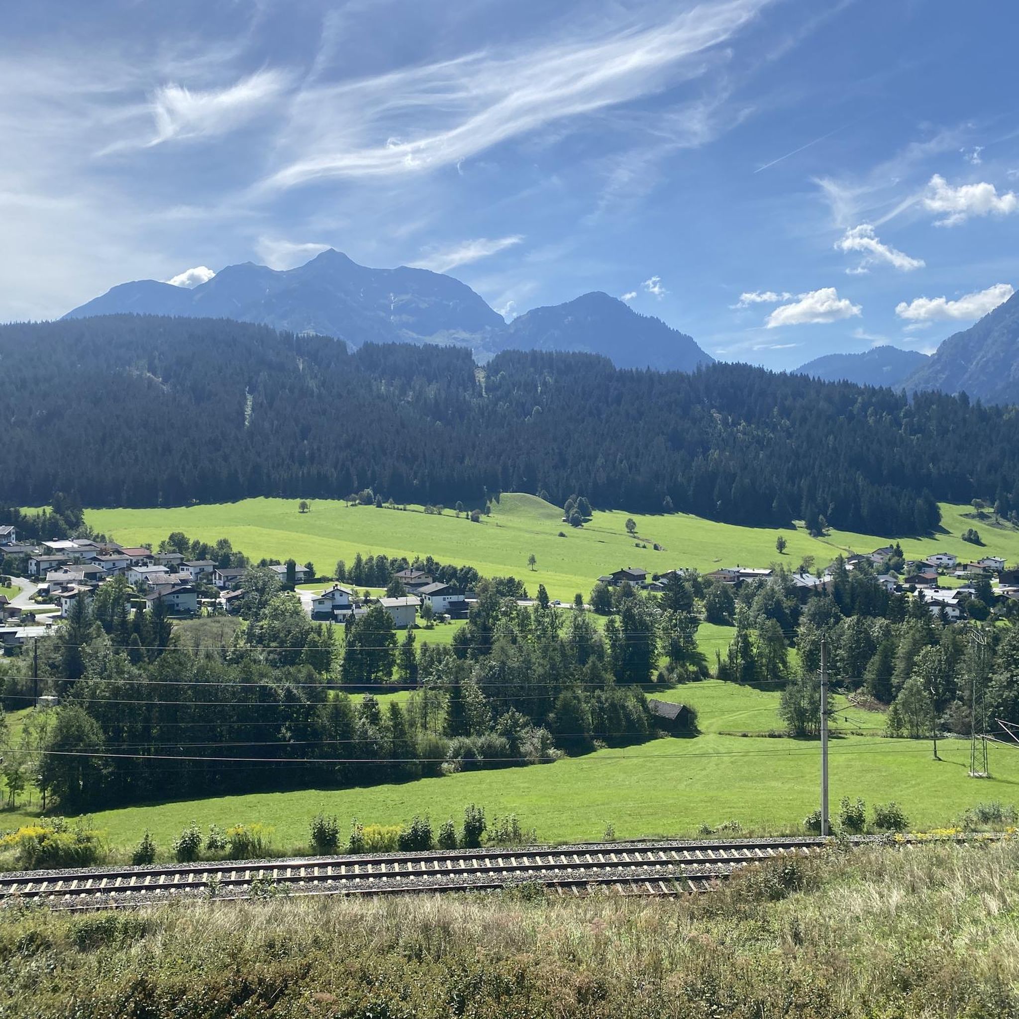
Mountaineering around Hochfilzen offers a diverse alpine landscape in the Kitzbühel Alps, characterized by prominent peaks, dense forests, and high-altitude meadows. The region features a mix of challenging ascents and moderate trails, providing varied terrain for different skill levels. Mountain streams and alpine lakes are common features, contributing to the area's natural composition. The geology includes limestone formations, particularly evident in the Loferer and Leoganger Steinberge ranges.
Best mountaineering routes around Hochfilzen
- The most popular mountaineering route is Wildsee –…
Last updated: August 18, 2026
4.8
(11)
76
hikers
15.1km
06:16
1,070m
1,070m
Hard mountaineering route. Very good fitness required. Sure-footedness, sturdy shoes and alpine experience required.
20
hikers
14.3km
07:25
1,260m
1,260m
Hard mountaineering route. Very good fitness required. Sure-footedness, sturdy shoes and alpine experience required.

Sign up for free
10
hikers
14.7km
05:30
810m
810m
Hard mountaineering route. Very good fitness required. Mostly accessible paths. Sure-footedness required.
7
hikers
7.09km
02:50
520m
520m
Moderate mountaineering route. Good fitness required. Easily-accessible paths. Suitable for all skill levels.
5.0
(2)
8
hikers
8.01km
03:41
790m
790m
Moderate mountaineering route. Good fitness required. Easily-accessible paths. Suitable for all skill levels.
Get access to more routes and recommendations from other explorers.
Sign up for free
Already have an account?
Our route recommendations are based on thousands of hikes, rides, and runs completed by other people on komoot.
Start today with a free account
Your next adventure awaits.
Login or Signup
Popular around Hochfilzen
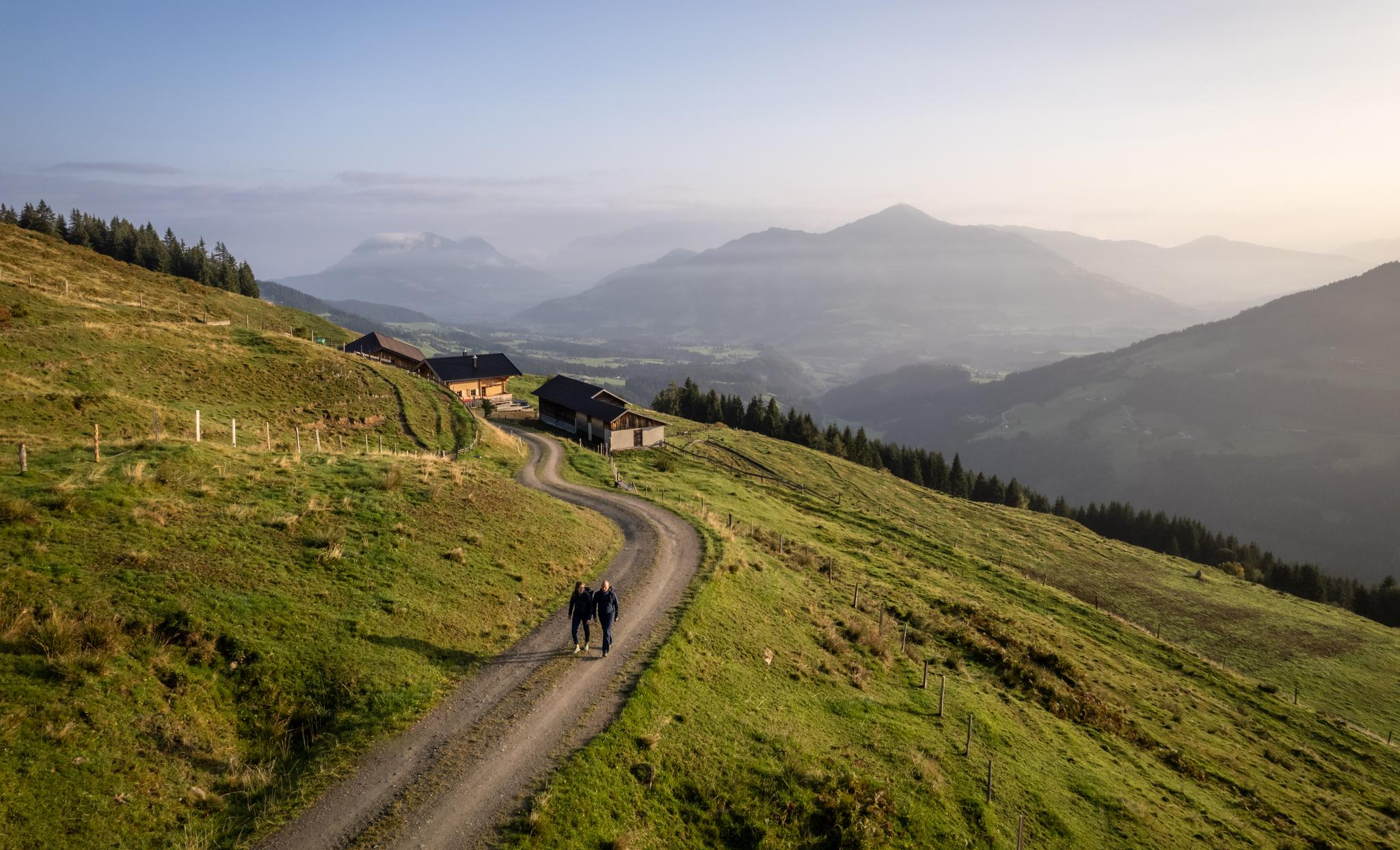
Varied and vibrant hiking in the Kitzbühel Alps
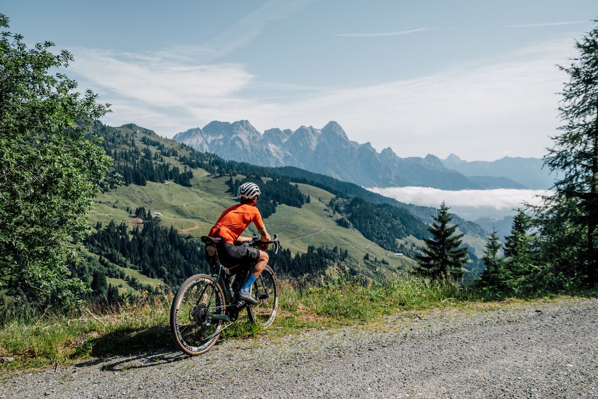
Challenge accepted! Gravel biking in Austria's largest bike region
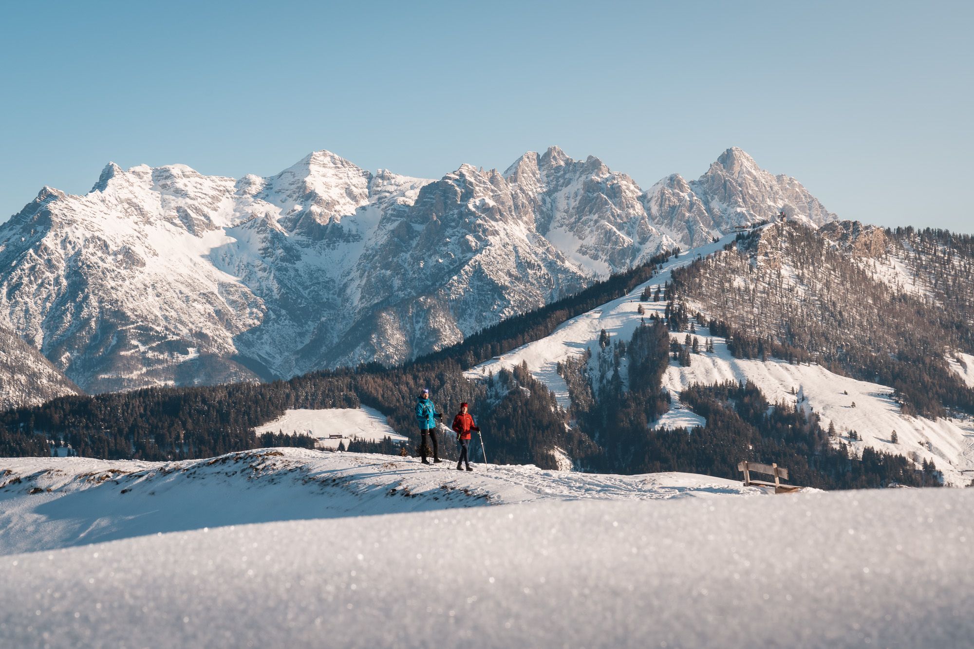
Austria’s Pillersee Valley – hiking in Tyrol’s snowiest region
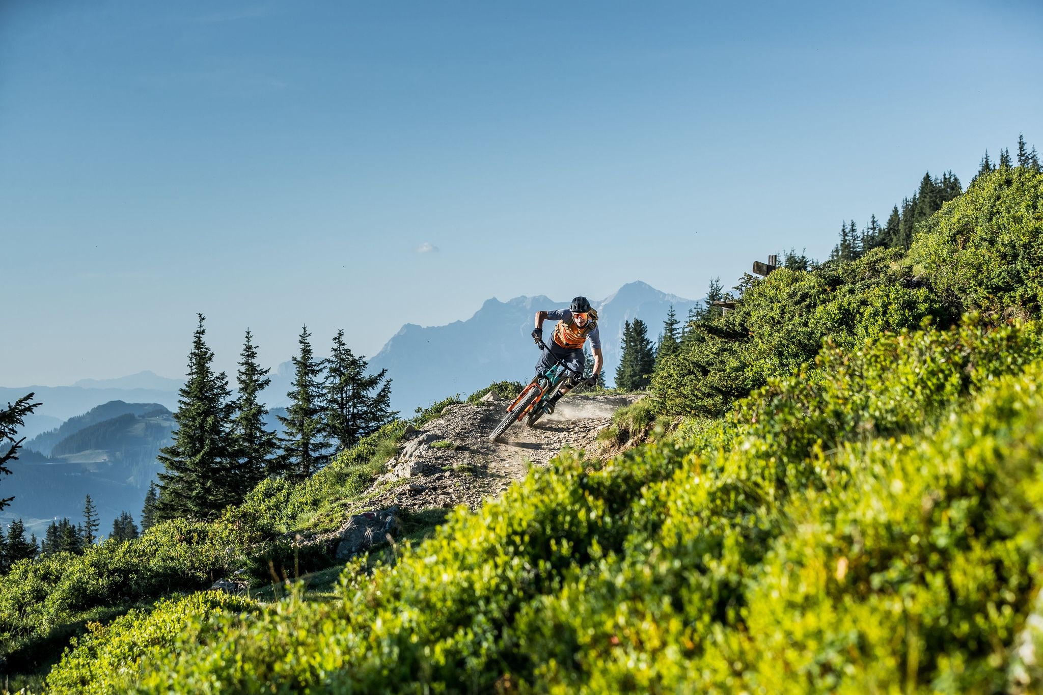
Endless trails in Austria's largest MTB region
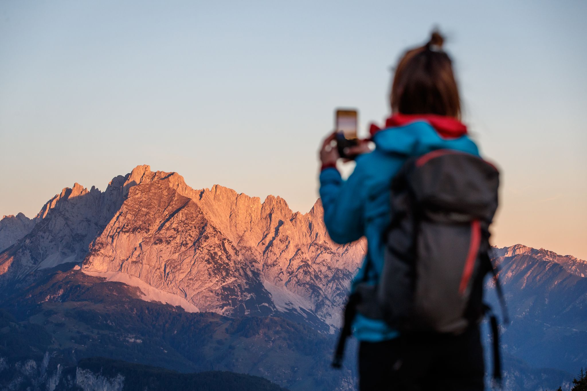
Pack your camera – 5 epic hikes along the Pillersee Valley in Austria
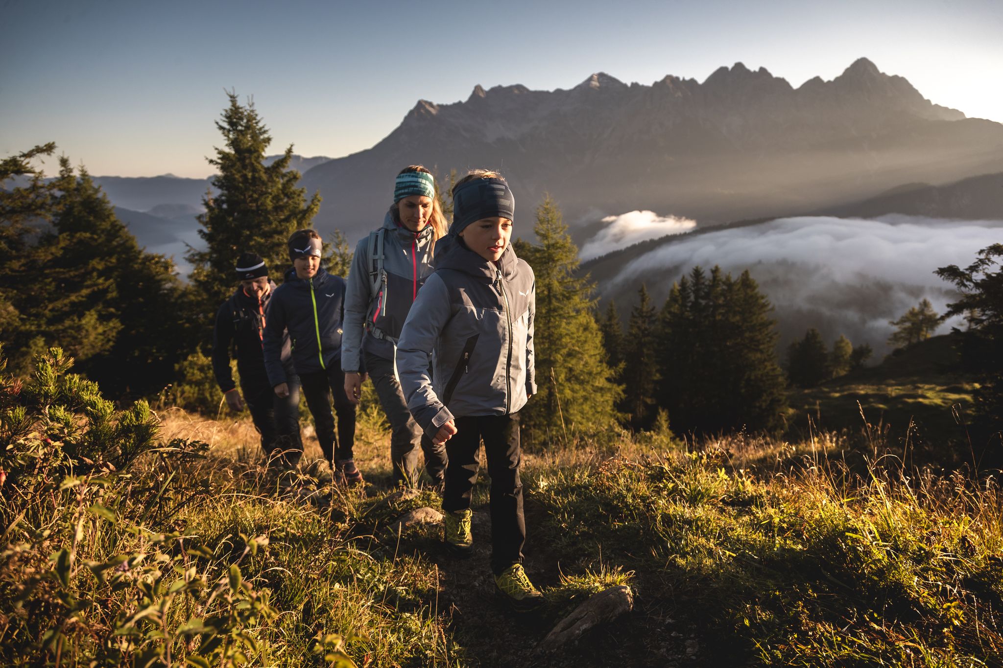
A sustainable family holiday – autumn in PillerseeTal

Gravel biking around Hochfilzen
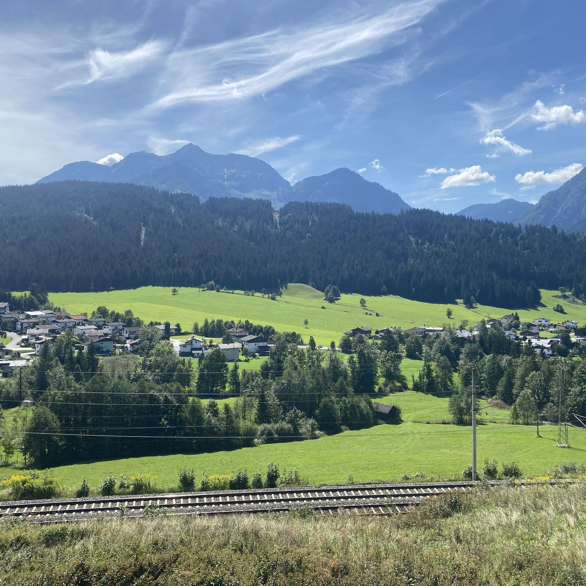
MTB Trails around Hochfilzen
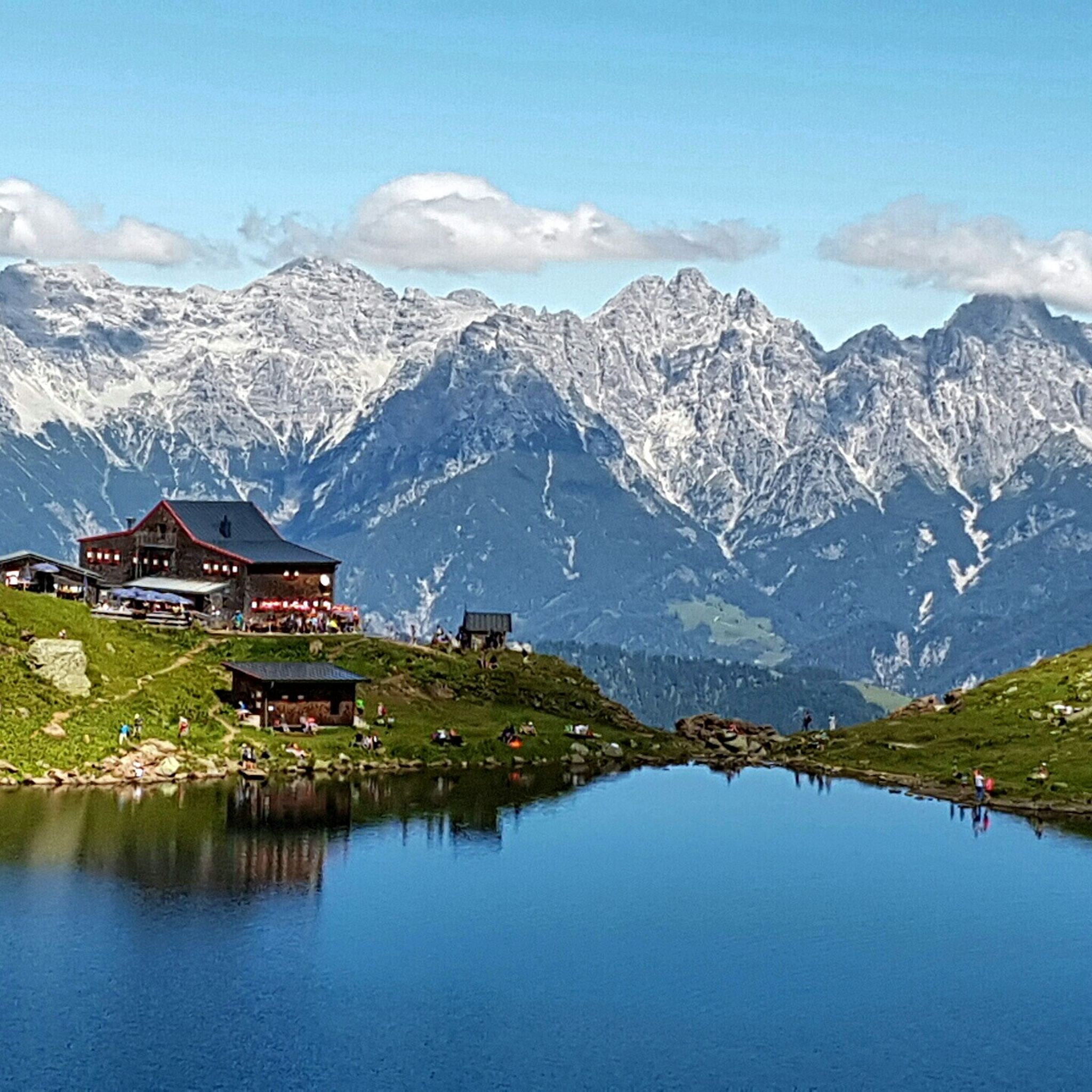
Hiking around Hochfilzen
Cycling around Hochfilzen
Other adventures around Hochfilzen


Tips from the Community

The Wildseelodersee with Wildseeloderhaus (1854m) are two landmarks of the Pillerseetal region near Fieberbrunn. The picturesquely located hut and the clear mountain lake invite you to linger or even swim. The path from the summit station of the Lärchfilzkogelbahn is consistently very well laid out and marked and technically easy. Nice, short tour to a sensationally located hut in great nature!
0
0
Small unlocked chapel directly at the Wildseeloderhaus, belonging to the municipality of Fieberbrunn. Christian Dialer, the first manager of the Wildseeloderhaus, built a chapel next to the hut with a memorial plaque for his wife. She died during childbirth of a child at the hut. When Christian Dialer left the hut as manager, the old chapel was taken over and preserved by the section. After it had completely fallen into disrepair in 1963, the section replaced it with the currently existing stone building. The interior furnishings were also renewed.
0
0

Nice service and fair prices, plus a wonderful view. What more could you want?
1
0
The Jakobskreuz on the Buchensteinwand is the world's largest accessible summit cross. From the viewing platform, you have an impressive 360-degree panoramic view of the Großglockner, Kitzbüheler Horn, and the Loferer Steinberge.
1
0

This incredibly imposing landmark, which crowns the summit here in the Kitzbühel region, is, according to its own claims, the largest accessible summit cross in the world. However, it is not dedicated to Christ, who, as the incarnate Son of God, took up the cross for the salvation of us all, but to one of his disciples: James the Greater. In one of his catecheses, Pope Benedict XVI (who died in 2022)... It was said of him: "From Saint James we can learn much: the readiness to accept the Lord's call, even when he asks us to leave the boat of our human securities; the enthusiasm to follow him on the paths he shows us, beyond all our illusory pretensions; the readiness to bear courageous witness for him, if need be, even to the ultimate sacrifice of life. Thus, James the Greater stands before us as an eloquent example of magnanimous fidelity to Christ. He, who initially, through his mother, had expressed the request to sit with his brother beside the Master in his kingdom, was the first to drink the cup of suffering, to share martyrdom with the Apostles." (Pope Benedict XVI)
1
0

The Spielbergtörl is a scenic crossing point between the region's peaks. From here, a sweeping view opens up over the Hohe Tauern and the grassy mountains surrounding Saalbach and Zell am See. A worthwhile rest stop that perfectly combines nature and panoramic views.
4
0


The Buchensteinwand is one of the most beautiful panoramic mountains in the Kitzbühel Alps. Even during the ascent, you'll be treated to magnificent views over the Pillersee Valley, but the real highlight is the summit: From here, on a clear day, the view extends as far as the Wilder Kaiser, the Loferer Steinberge, and even the Großglockner. Perfect for a relaxing hike with a truly panoramic experience.
1
0
Frequently Asked Questions
How many mountaineering routes can I explore around Hochfilzen?
There are over 100 mountaineering routes available around Hochfilzen, offering a wide range of options for different skill levels. This includes 3 easy, 48 moderate, and 50 difficult trails.
What are the typical difficulty levels for mountaineering in Hochfilzen?
Mountaineering routes in Hochfilzen range from easy to difficult. You'll find a few easy trails, a significant number of moderate routes (around 48), and many challenging options (about 50) that require good fitness and experience.
Are there any family-friendly mountaineering routes in Hochfilzen?
While many routes are moderate to difficult, some of the easier trails might be suitable for families with older children or those accustomed to mountain walking. For a moderate option, consider the Jakob's Cross – Buchensteinwand Summit Cross loop from Pfaffenschwendt, which offers rewarding views without extreme technical demands.
Which routes offer the best viewpoints in the Hochfilzen area?
Many routes in Hochfilzen provide stunning panoramic views. The Wildsee – Henne Summit loop from Lärchfilzen 4er is known for its alpine lake views and the ascent to Henne Summit. Another excellent choice for expansive vistas of the Steinberge mountain range is the Rotscharte loop from Loferer und Leoganger Steinberge.
Are there any circular mountaineering routes around Hochfilzen?
Yes, many mountaineering routes in Hochfilzen are designed as loops. Examples include the popular Wildsee – Henne Summit loop from Lärchfilzen 4er, the challenging Rotscharte loop from Loferer und Leoganger Steinberge, and the scenic Burgeralm loop from Eiserne Hand.
What kind of natural attractions can I see along the mountaineering routes in Hochfilzen?
The region is rich in natural beauty. You can explore impressive gorges like Vorderkaser Gorge, Seisenberg Gorge, and Strohwollner Gorge. The geology also features limestone formations, particularly in the Loferer and Leoganger Steinberge ranges, offering unique landscapes.
When is the best time of year for mountaineering in Hochfilzen?
The prime season for mountaineering in Hochfilzen is typically from late spring to early autumn (June to September), when the weather is most stable and trails are clear of snow. Always check local weather forecasts and trail conditions before heading out, especially in shoulder seasons.
What do other mountaineers say about the routes in Hochfilzen?
The mountaineering routes in Hochfilzen are highly regarded by the komoot community, with an average rating of 4.8 stars from over 190 reviews. Mountaineers frequently praise the diverse alpine landscape, the challenging ascents, and the well-maintained trails that lead to stunning summits and alpine lakes.
Are there any specific permits required for mountaineering in the Hochfilzen area?
Generally, no specific permits are required for standard mountaineering routes in the Hochfilzen area. However, always be aware of local regulations, especially if you plan to venture into protected areas or attempt more technical climbs that might require specific equipment or guiding.
Are there options for advanced mountaineers in Hochfilzen?
Absolutely. Hochfilzen offers numerous challenging routes for experienced mountaineers. With 50 difficult trails, you'll find plenty of opportunities for demanding ascents and rugged alpine terrain. The Rotscharte loop from Loferer und Leoganger Steinberge is a prime example, traversing demanding landscapes with significant elevation gain.
What are the typical durations for mountaineering routes around Hochfilzen?
Route durations vary significantly based on difficulty and length. Moderate routes like the Jakob's Cross – Buchensteinwand Summit Cross loop from Pfaffenschwendt can take around 3-4 hours, while more difficult and longer trails, such as the Wildsee – Henne Summit loop from Lärchfilzen 4er, can require 6 hours or more to complete.
Most popular routes around Hochfilzen
Most popular attractions around Hochfilzen

Get inspired with the komoot mobile app


Explore more
Browse the best Mountain Hikes & Routes in other regions.
