The best running trails in the High Tauern
4.3
(48)
1,765
runners
131
runs
Jogging in the High Tauern offers diverse terrain across Austria's largest national park, characterized by varied altitude zones from montane forests to sub-alpine regions. The landscape features numerous glacial valleys, expansive alpine meadows, and a network of rivers, waterfalls, and mountain lakes. Runners can experience routes ranging from gentler valley paths to more challenging high-altitude trails, often with panoramic views of majestic peaks. The region provides a spectrum of running environments suitable for different fitness levels.
Best jogging routes in…
Last updated: June 24, 2026
5.0
(2)
105
runners
Moderate run. Good fitness required. Mostly paved surfaces. Suitable for all skill levels.
4.5
(2)
70
runners
8.23km
00:54
130m
130m
Moderate run. Good fitness required. Mostly paved surfaces. Suitable for all skill levels.

Sign up for free
5.0
(2)
69
runners
Moderate run. Good fitness required. Mostly paved surfaces. Suitable for all skill levels.
2.0
(1)
64
runners
12.6km
01:26
260m
260m
Hard run. Good fitness required. Sure-footedness, sturdy shoes and alpine experience required.
66
runners
22.0km
03:22
1,310m
1,310m
Hard run. Very good fitness required. Sure-footedness, sturdy shoes and alpine experience required.
49
runners
7.87km
00:51
110m
110m
Moderate run. Good fitness required. Mostly paved surfaces. Suitable for all skill levels.
3.0
(2)
39
runners
7.76km
00:52
110m
110m
Moderate run. Good fitness required. Mostly paved surfaces. Suitable for all skill levels.
44
runners
15.3km
01:37
120m
120m
Hard run. Very good fitness required. Mostly paved surfaces. Suitable for all skill levels.
5.0
(1)
36
runners
Hard run. Very good fitness required. Sure-footedness, sturdy shoes and alpine experience required.
34
runners
18.5km
02:09
430m
430m
Hard run. Very good fitness required. Sure-footedness, sturdy shoes and alpine experience required.
Get access to more routes and recommendations from other explorers.
Sign up for free
Already have an account?
Our route recommendations are based on thousands of hikes, rides, and runs completed by other people on komoot.
Start today with a free account
Your next adventure awaits.
Login or Signup
Popular around High Tauern
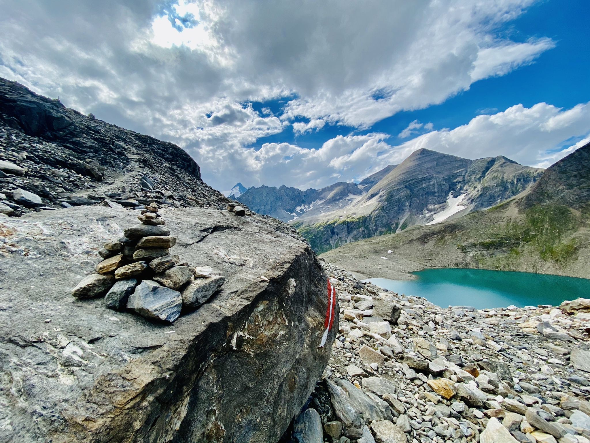
The Tauernhöhenweg – Once across the Hohe Tauern
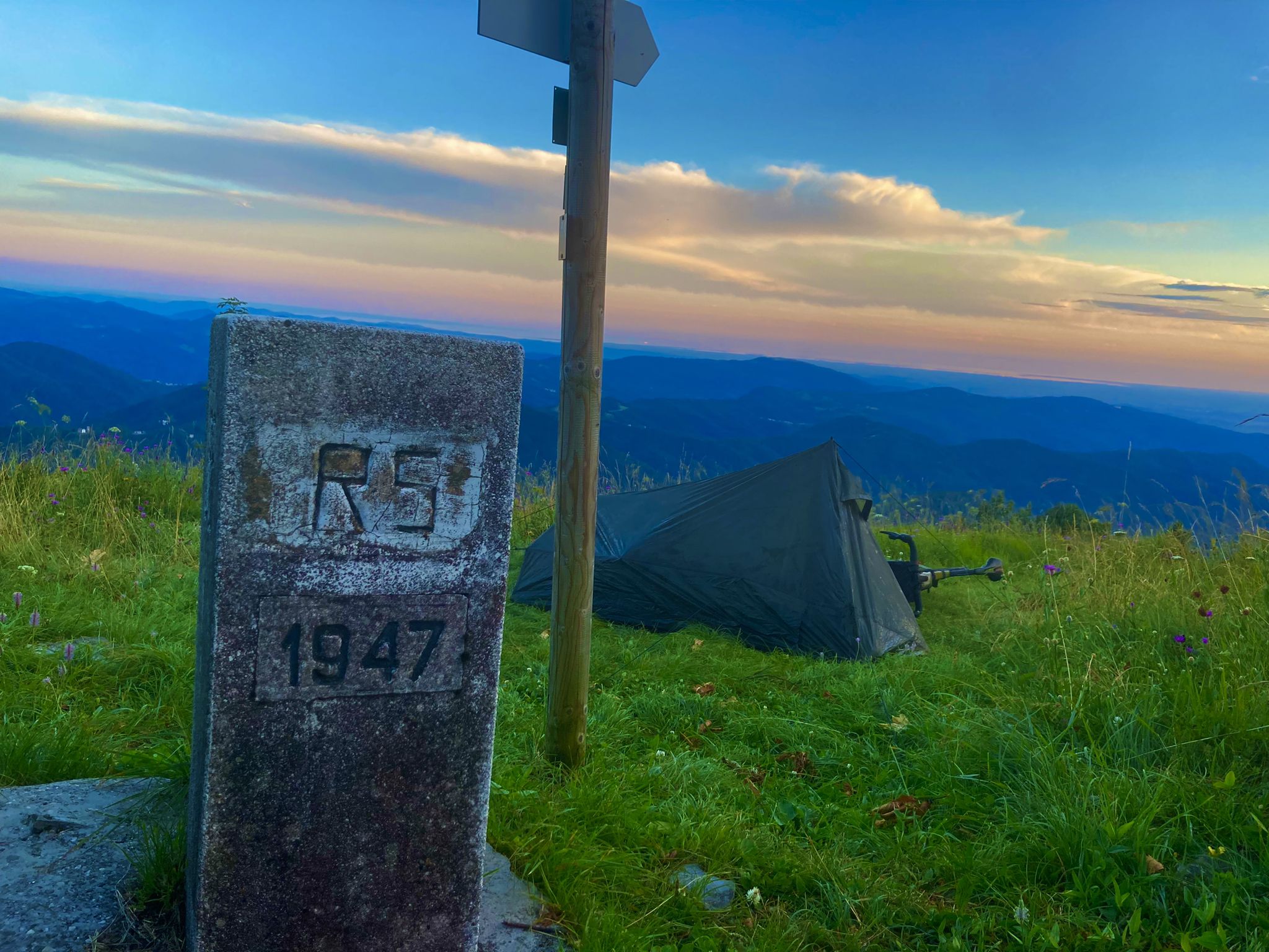
From Bavaria to the Adriatic - My Bikepacking Adventure to Croatia 2023
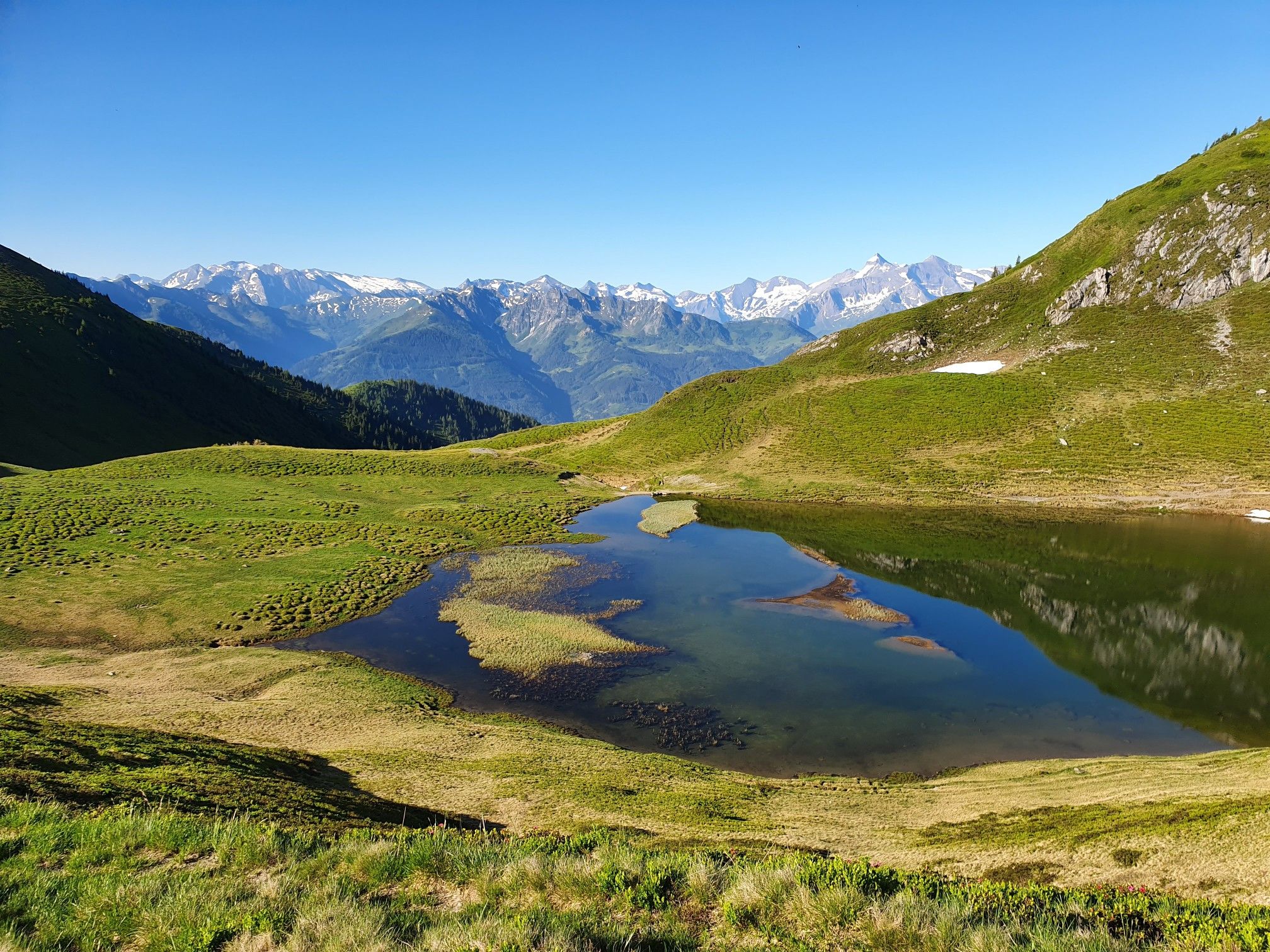
Hohe Tauern Panorama Trail – Face-to-face with 3000-metre peaks
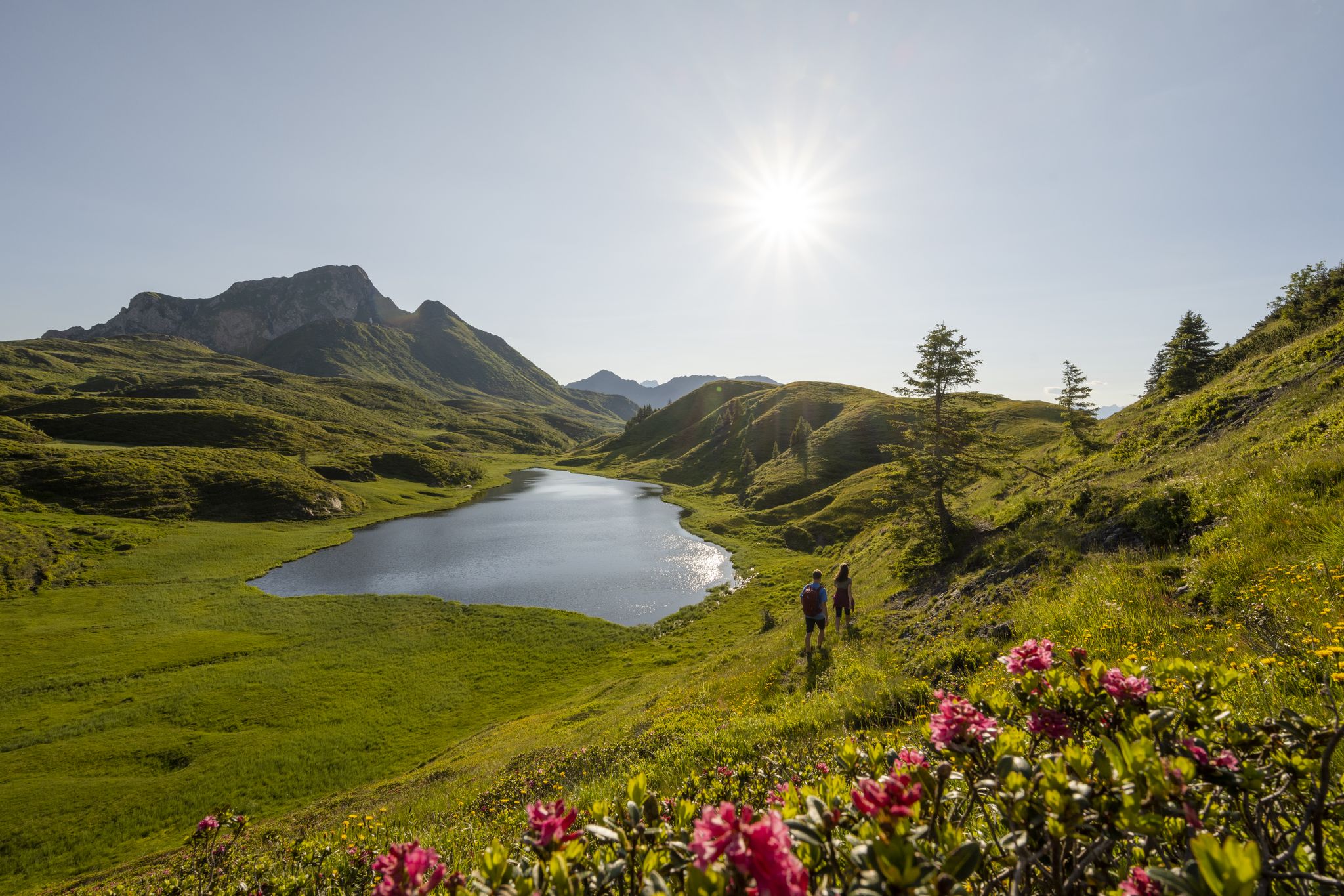
Long hikes on the southern side of the Austrian Alps – in Carinthia
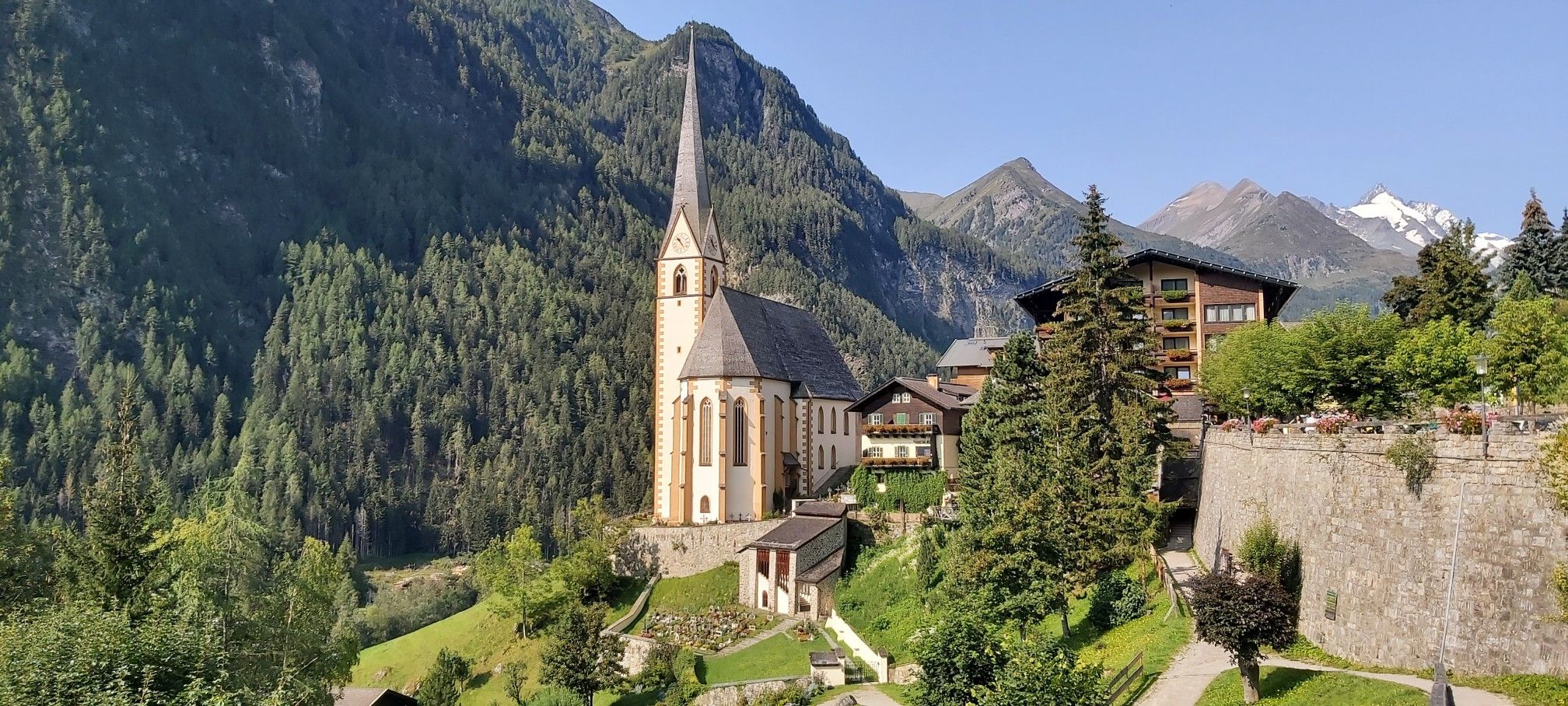
Austria's High & Holy Pilgrimage Trail – Walking across mountains and borders

Ruperti Trail – Hike from Austria's Bohemian Forest to the Carnic Alps
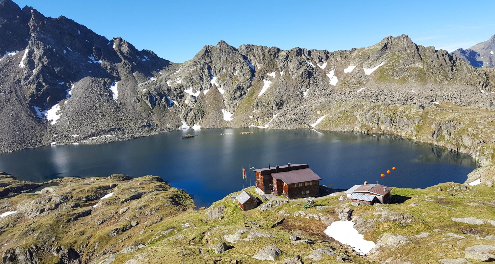
Wiener Höhenweg in Austria – 6 stages in the Schober Group
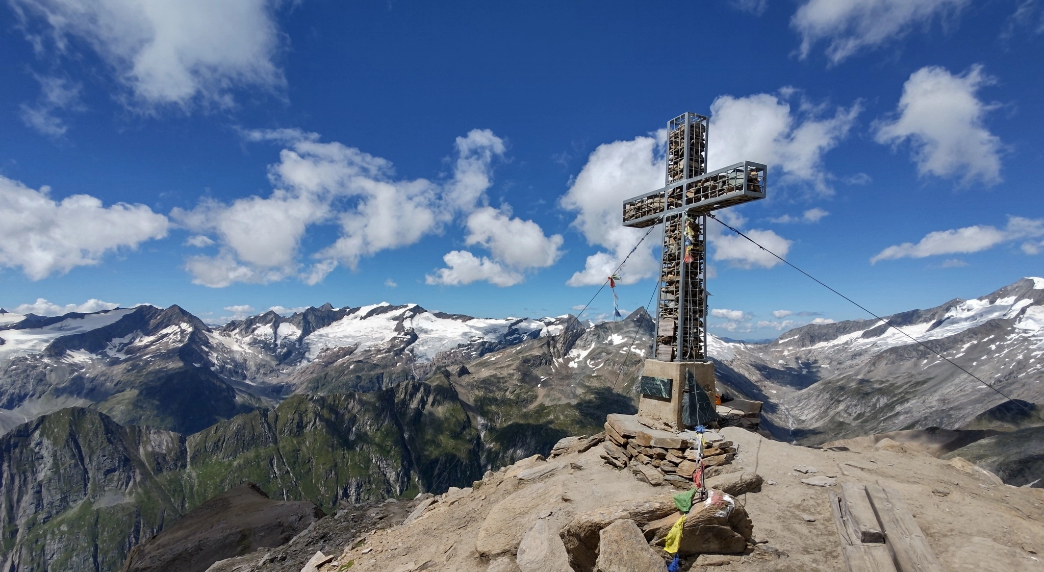
Venediger High Trail – mountain huts and glacial views
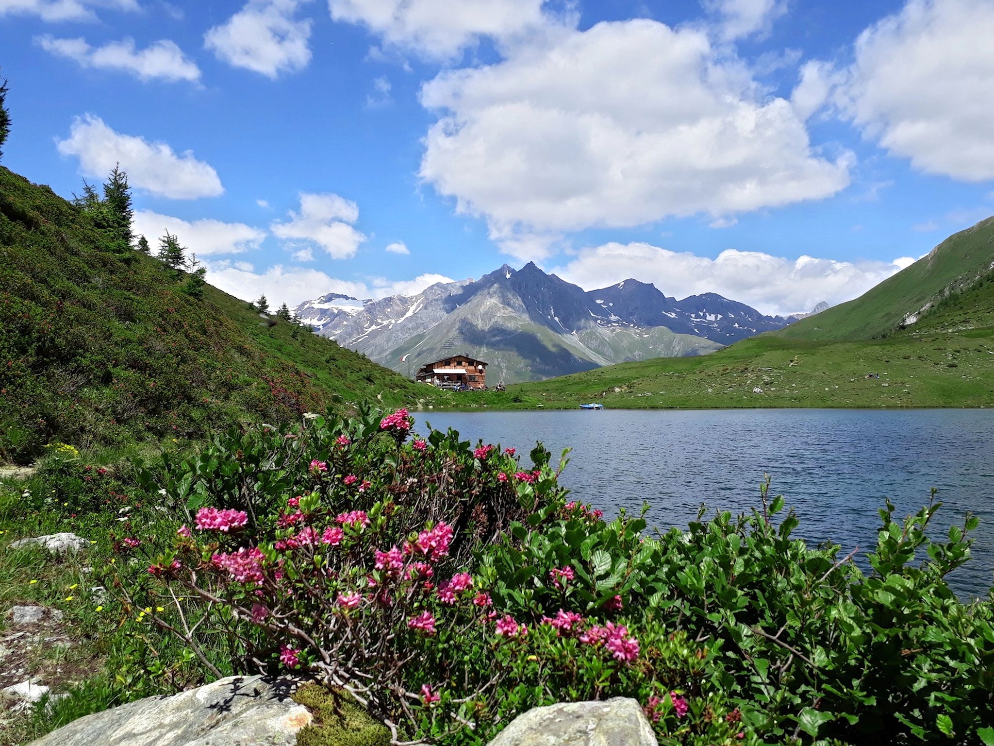
Lasörling High Altitude Trail in Austria – Alpine huts and glacial views
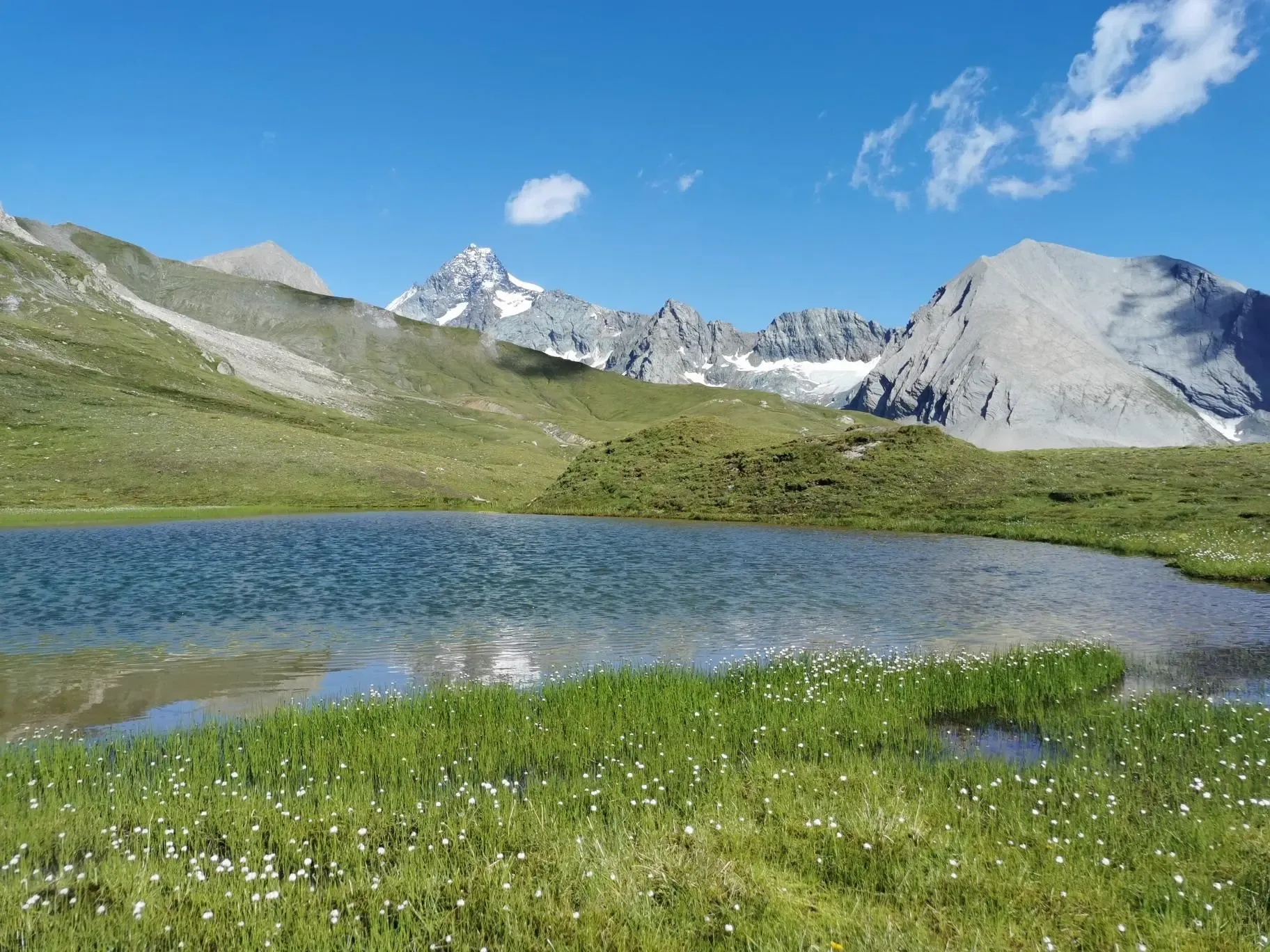
The Glockner Trek – Exploring Austria's highest peak
Other adventures in the High Tauern


Tips from the Community

On June 13th of this year, I was in this beautiful place for the first time. In the tour planning, it was very important for me to explore this part of the landscape by bike. The villages here and Matrei are nestled in the alpine pastures and mountain ranges. The market town is characterized by its well-kept houses, gardens, and the friendliness of its residents. The icing on the cake is the church and the surrounding cemetery. From here, you have a view of the Venediger Group and the Hohe Tauern. The cycle path from Lienz is perfect!
0
0

Beautiful small village in the Kalser Tal. There are two restaurants. The Gamsalm, which is rather modern and has great food. The pizzas are particularly recommended. Secondly, the Templer, which is rather rustic and offers very delicious traditional cuisine.
0
0

A good place to undertake beautiful tours. The local gastronomy is unfortunately mediocre.
0
0

Impressive gorge, please wear good shoes, from the Alm onwards the path becomes stony
0
0

Super accessible from the Taurer hiking parking lot. No problem even with a stroller. For those who choose the path through the tunnel! Don't forget a flashlight!
0
0
Easily reachable from the Traurer hiking parking lot. No problem even with a stroller. If you take the path through the tunnel!!! Don't forget your flashlight.
1
0
The village itself does not have much to offer. We were accommodated in the Scols Hotel. However, from there it was possible to start one or the other hiking tour. The panorama was very beautiful though.
1
0

A beautiful, easy mountain bike ride up to the Lucknerhaus.
0
0
Frequently Asked Questions
What kind of terrain can I expect on running routes in the High Tauern?
The High Tauern National Park offers a wide variety of terrain for runners. You'll find everything from gentler paths along valley floors, often following rivers like the Isel, to more challenging high-altitude trails. The landscape features montane forests, sub-alpine regions, expansive alpine meadows, and glacial valleys. Some routes may have mostly paved surfaces, while others require good to very good fitness and sure-footedness on natural trails.
Are there easy running routes suitable for beginners or casual joggers in the High Tauern?
Yes, the High Tauern offers several easy running routes. Out of over 130 routes available, 9 are specifically categorized as easy. These routes typically stick to lower elevations and valley paths, providing a pleasant experience without significant climbs. For example, routes around Matrei in Osttirol often follow the Isel river, offering scenic and relatively flat terrain.
What are some challenging running trails for experienced runners in the High Tauern?
For experienced runners seeking a challenge, the High Tauern has plenty to offer, with 68 routes categorized as difficult. These trails often ascend into higher alpine terrain, providing significant elevation gains and stunning mountain vistas. An example is the Kalser Tauernhaus loop from Großdorf, which is a difficult 9.3-mile (14.9 km) path with substantial climbing. Another demanding option is the Glorerhütte loop from Kals am Großglockner, a 21.8 km route with over 1300 meters of elevation gain.
Can I find circular running routes in the High Tauern?
Yes, many of the running routes in the High Tauern are designed as loops, allowing you to start and finish in the same location. Examples include the Bridge over the Isel – Nature Hotel Outside loop from Matrei in Osttirol, the Schotterfluren Kalser Bach loop from Kals am Großglockner, and the Heiligenblut loop from Heiligenblut. These circular paths are convenient for exploration and return to your starting point.
Are there any notable natural features or landmarks to see along the running routes?
Absolutely! The High Tauern National Park is rich in natural beauty. You can expect to see magnificent waterfalls, serene mountain lakes, and majestic peaks. The Krimml Waterfalls are a prominent attraction, and trails often follow rivers and streams. Highlights you might encounter include the Edelweissspitze Summit, Großglockner summit (Austria's highest peak), and tranquil spots like Grünsee. The region also features picturesque glacial valleys and expansive alpine meadows.
What do other runners say about the jogging routes in the High Tauern?
The running routes in the High Tauern are highly rated by the komoot community, with an average score of 4.3 stars from over 49 reviews. More than 1800 runners have used komoot to explore the varied terrain. Reviewers often praise the stunning and varied alpine scenery, the abundance of water features like rivers and waterfalls, and the well-developed network of trails that cater to different ability levels.
What is the best season for running in the High Tauern?
The best season for running in the High Tauern is generally from late spring to early autumn (May to October). During these months, the trails are typically free of snow, and the weather is more favorable. The region's diverse eco-zones, from montane forests to sub-alpine meadows, are at their most vibrant. High-altitude areas, including nival zones, mean that some trails may remain snow-covered well into summer, so checking local conditions is always recommended.
Are there running routes suitable for families in the High Tauern?
Yes, many of the easier and moderate routes in the High Tauern are suitable for families, especially those that stick to the valley floors or well-maintained paths. These routes often offer gentler gradients and beautiful scenery without being overly strenuous. Look for routes described as 'easy' or 'moderate' that follow rivers or traverse alpine meadows, which provide a pleasant experience for all ages.
Can I bring my dog on the running trails in the High Tauern?
While the High Tauern National Park is a natural area, specific regulations regarding dogs on trails can vary. Generally, dogs are permitted on many trails, but they must be kept on a leash, especially in protected areas, near livestock, or in wildlife habitats. It's always advisable to check local signage or park regulations for the specific trail you plan to run to ensure it's dog-friendly.
Are there any long-distance running options in the High Tauern?
Yes, the High Tauern offers several longer running routes for those looking for endurance challenges. Many of the difficult-rated trails extend over significant distances and elevation. For example, the View of Jagdhausalm – Jagdhausalm Mountain Settlement loop from Patsch is an 18.5 km (11.5 miles) route, and the Bridge over the Isel – Matrei in East Tyrol loop from Matrei in Osttirol covers 15.2 km (9.4 miles). These routes provide extensive exploration of the alpine landscape.
How accessible are the running routes by public transport or car in the High Tauern?
Access to running routes in the High Tauern varies. Many valleys, such as Krimml Achental, Obersulzbachtal, and Wildgerlostal, serve as excellent starting points and are often accessible by car, with designated parking areas. Roads like the Grossglockner High Alpine Road also provide access to various trails. Public transport options, such as local buses, connect some villages and trailheads, but it's recommended to check specific schedules and routes in advance, especially for more remote areas. For general information about the National Park, you can visit nationalpark.at.
Most popular routes in the High Tauern
Most popular attractions in the High Tauern

Get inspired with the komoot mobile app


Explore more
Browse the best Running Trails & Routes in other regions.
