The best running trails around Wörschach
4.6
(46)
2,678
runners
11
runs
Jogging routes around Wörschach traverse a landscape characterized by river valleys, forested areas, and gentle hills. The region offers a mix of flat paths along waterways and routes with moderate elevation changes. Runners can explore the natural beauty of the Enns valley and the Wörschacher Moos. The terrain is generally well-suited for various running styles, from leisurely jogs to more challenging efforts.
Best jogging routes around Wörschach
- The most popular jogging route is Running loop from Wörschach, a 4.5…
Last updated: July 5, 2026
4.0
(1)
32
runners
7.27km
00:45
40m
40m
Moderate run. Good fitness required. Mostly paved surfaces. Suitable for all skill levels.
25
runners
Hard run. Very good fitness required. Mostly paved surfaces. Suitable for all skill levels.

Sign up for free
12
runners
9.04km
00:57
40m
40m
Moderate run. Good fitness required. Mostly paved surfaces. Suitable for all skill levels.
14
runners
13.7km
02:07
770m
770m
Hard run. Very good fitness required. Sure-footedness, sturdy shoes and alpine experience required.
9
runners
4.05km
00:26
20m
20m
Easy run. Great for any fitness level. Mostly paved surfaces. Suitable for all skill levels.
Get access to more routes and recommendations from other explorers.
Sign up for free
Already have an account?
Our route recommendations are based on thousands of hikes, rides, and runs completed by other people on komoot.
Start today with a free account
Your next adventure awaits.
Login or Signup
Popular around Wörschach
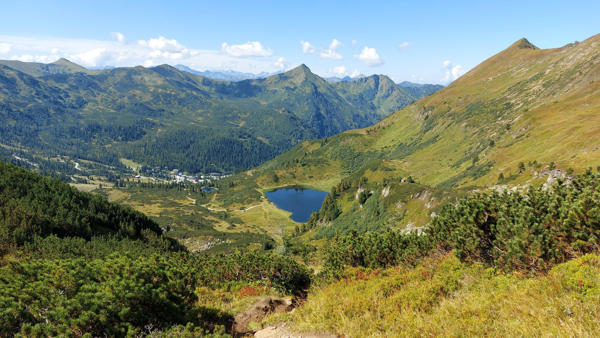

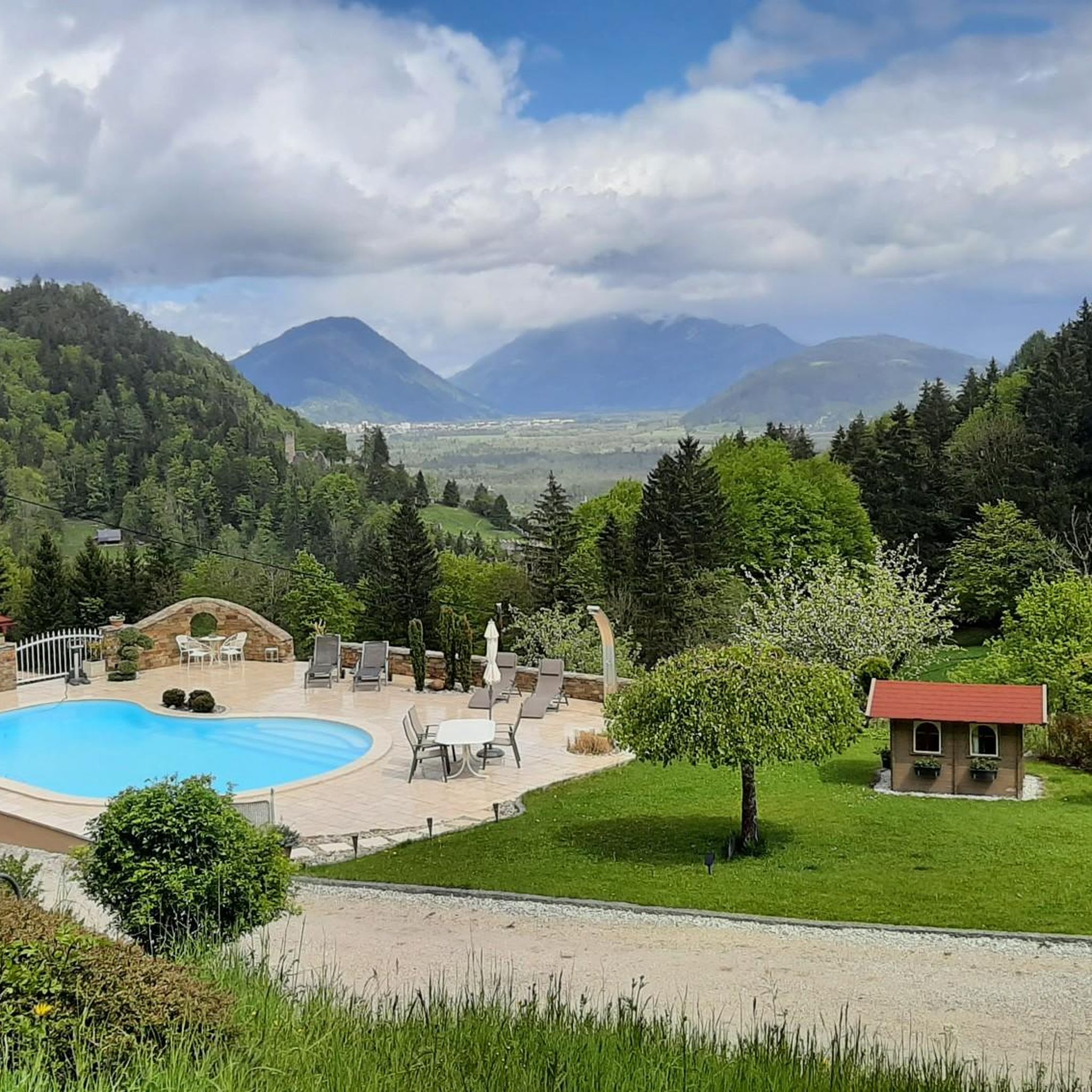
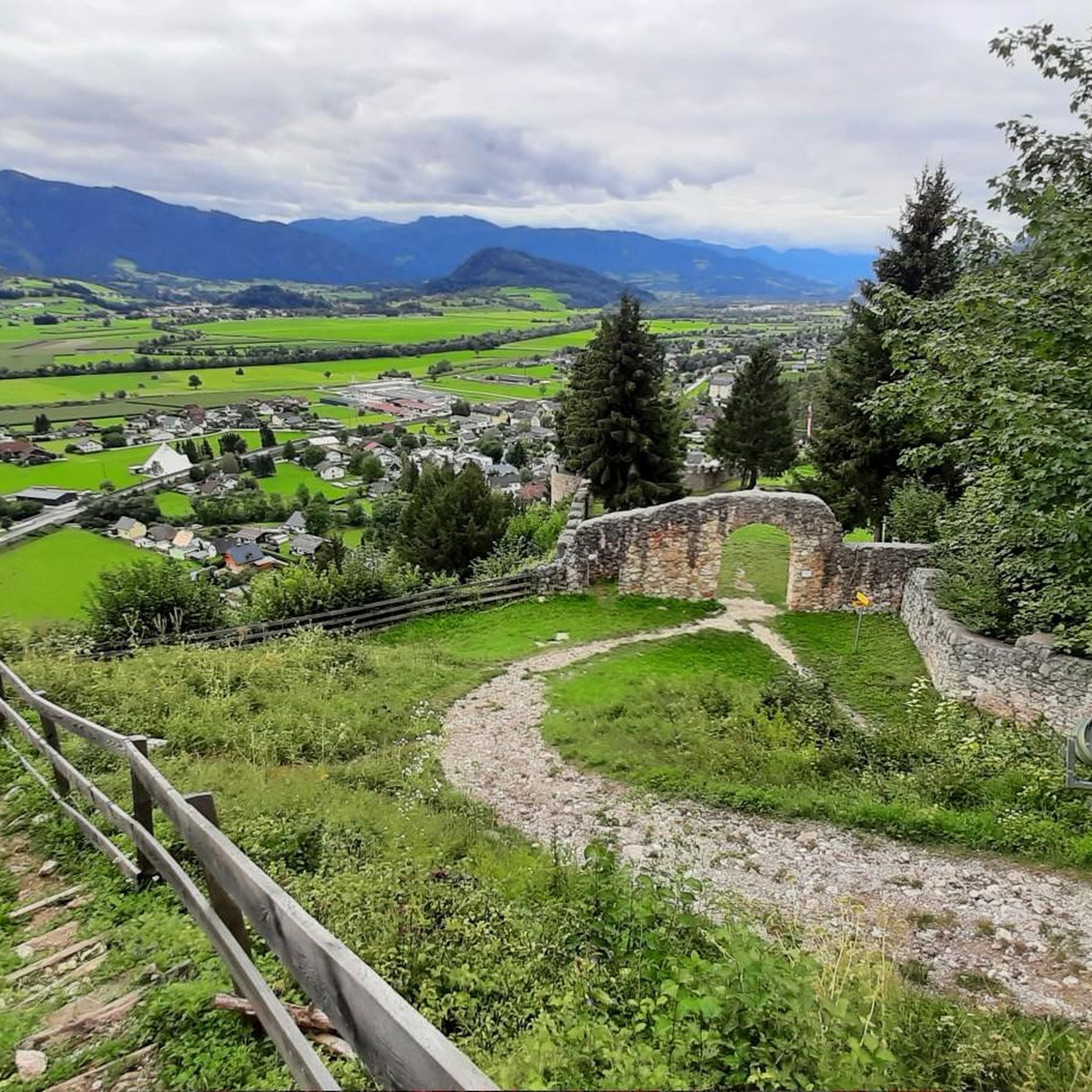
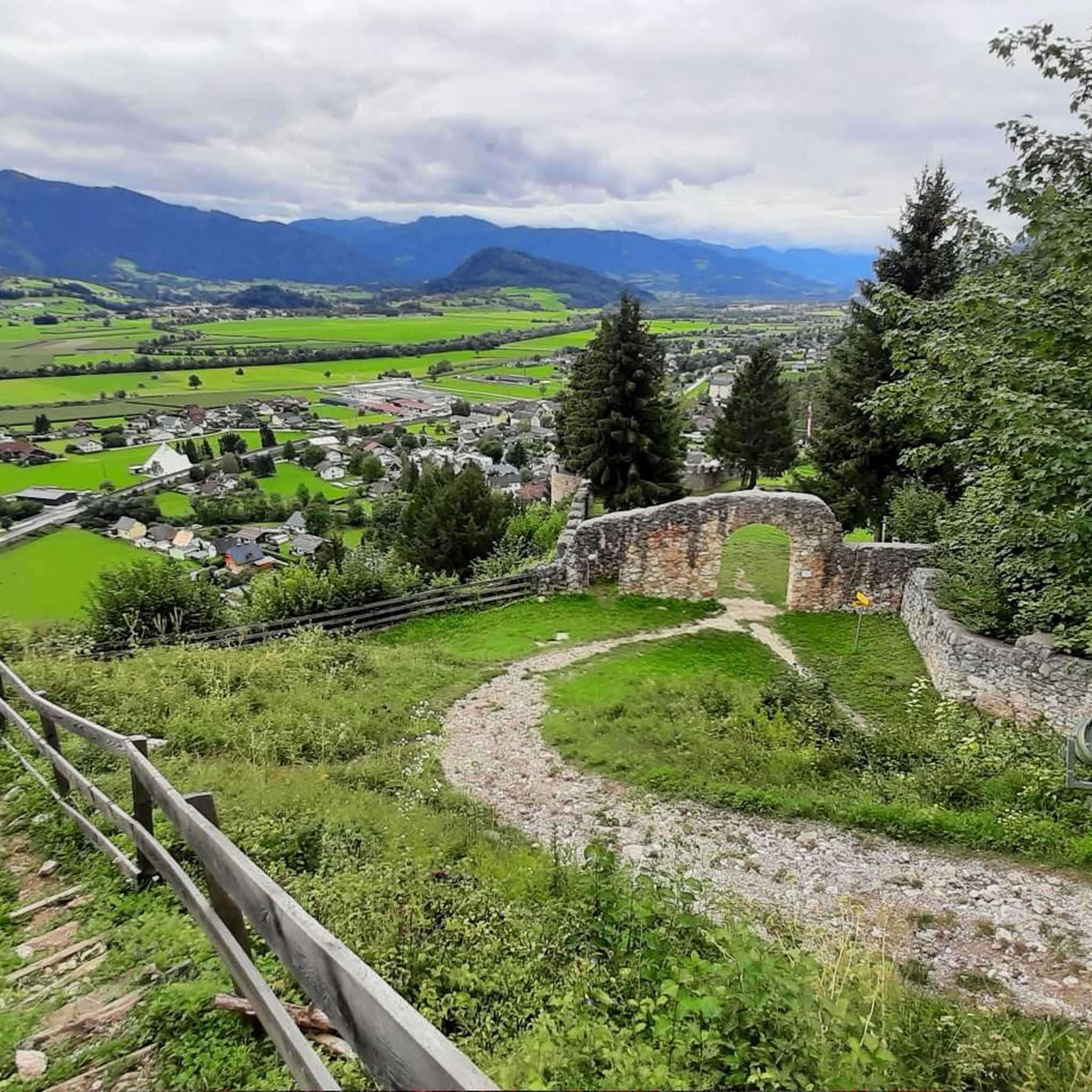
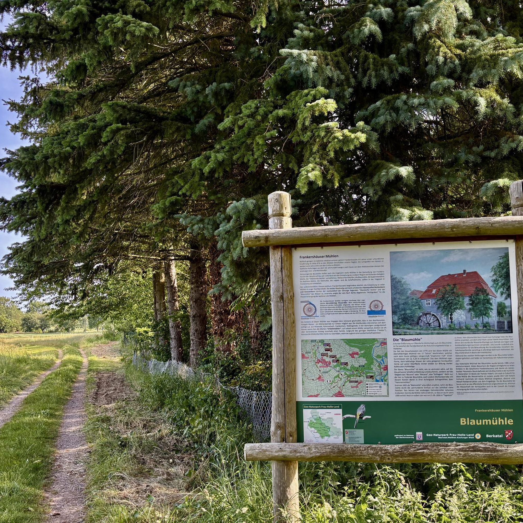



Tips from the Community

Drove from Bad Mitterndorf to Admont great tour
0
0

If you plan to hike the Tonisteig, you will definitely need a via ferrata set, climbing harness and helmet.
0
0

Beautiful flat gravel stretch in the valley with impressive view of the surrounding mountains.
0
0

A cycle path that is highly recommended. Km-long and no difficulty to drive.
1
0

The Enns cycle path offers a varied elevation profile
1
0

For me, the picture is powerful, dreamlike 👍😎🚴♂️🇦🇹
1
0
This path is worthwhile, just because of the fantastic location, over fields, partly along the Enns, always a view of the massive Grimming, wonderful for cycling. For me a top section of the R7 Ennstal Cycle Path🚴♂️👍😊🇦🇹
3
0

Here you come across a tributary of the Danube - the Enns. It separates the limestone mountains in the north from the primeval mountains in the south and is the longest inland river in Austria with a length of 254 kilometers.
0
0
Frequently Asked Questions
How many running routes are available in Wörschach?
Wörschach offers 13 dedicated running routes, catering to various fitness levels. These trails traverse river valleys, forested areas, and gentle hills, providing diverse scenery for your run.
Are there easy running routes for beginners in Wörschach?
Yes, there is one easy running route suitable for beginners. The Wörschacher Moos loop from Wörschach is a 2.5-mile (4.1 km) trail that offers a gentle introduction to running in the region's natural landscape.
What are the typical lengths of running trails in Wörschach?
The running trails in Wörschach vary in length, from shorter loops around 2.5 miles (4.1 km) to more challenging runs up to 10 miles (16.1 km). This variety ensures options for both quick jogs and longer endurance training.
Are there circular running routes in the Wörschach area?
Many of the running routes in Wörschach are circular, allowing you to start and finish at the same point. For example, the popular Running loop from Wörschach is a moderate 4.5-mile (7.3 km) circular trail.
What kind of scenery can I expect on Wörschach's running routes?
Running routes in Wörschach offer diverse scenery, including paths along the Enns valley, through forested areas, and across open moors like the Wörschacher Moos. You can also find routes with views of nearby natural attractions such as the Wörschach Gorge and the Stromboding Waterfall.
Are there any waterfalls or gorges to see while running in Wörschach?
Yes, the region is known for its impressive natural formations. While running, you might encounter highlights such as the Wörschach Gorge and the powerful Stromboding Waterfall. These natural landmarks add a scenic element to your outdoor activity.
How can I get to the running trails using public transport in Wörschach?
Wörschach is accessible by public transport, particularly by train to the Wörschach-Schwefelbad station. Many routes, such as the Weißenbach riverbed – Magnificent Enns loop from Wörschach Schwefelbad, are designed to start near public transport hubs, making them convenient to reach.
Are there parking facilities near the running routes in Wörschach?
Yes, several running routes in Wörschach offer convenient parking options. For instance, the Wörschacher Raidling loop starts from Parkplatz Schönmoos, providing easy access for those arriving by car.
What do other runners say about the trails in Wörschach?
The running trails in Wörschach are highly rated by the komoot community, with an average score of 4.5 stars from over 30 reviews. Runners often praise the varied terrain, the beautiful natural surroundings of the Enns valley, and the well-maintained paths suitable for different ability levels.
Are there challenging running routes for experienced runners in Wörschach?
Absolutely. For experienced runners seeking a challenge, Wörschach offers three difficult routes. The Weißenbach riverbed – Magnificent Enns loop from Wörschach Schwefelbad is a demanding 10-mile (16.1 km) path that follows the riverbed, providing a rigorous workout with scenic views.
Can I find places to eat or drink near the running trails in Wörschach?
Wörschach and its surrounding areas offer various establishments where you can refuel after your run. While specific cafes directly on every trail are not guaranteed, many routes are close to the village center or other accessible points where you can find refreshments.
Is Wörschach suitable for winter running?
While the guide focuses on general running, Wörschach's landscape, particularly the flatter paths along the Enns valley and through the Wörschacher Moos, can be suitable for winter running, especially on cleared or well-trodden paths. Always check local conditions and weather forecasts before heading out in winter.
Are the running trails in Wörschach suitable for families?
Many of Wörschach's running routes, particularly the easier and moderate ones, can be enjoyed by families. The gentle terrain along river valleys and through forested areas provides a pleasant environment for a family jog or walk. The Wörschacher Moos loop is a good option for a less strenuous outing.
Most popular routes around Wörschach
Most popular attractions around Wörschach

Get inspired with the komoot mobile app


Explore more
Browse the best Running Trails & Routes in other regions.
