The best running trails around Rettenegg
4.6
(33)
1,275
runners
53
runs
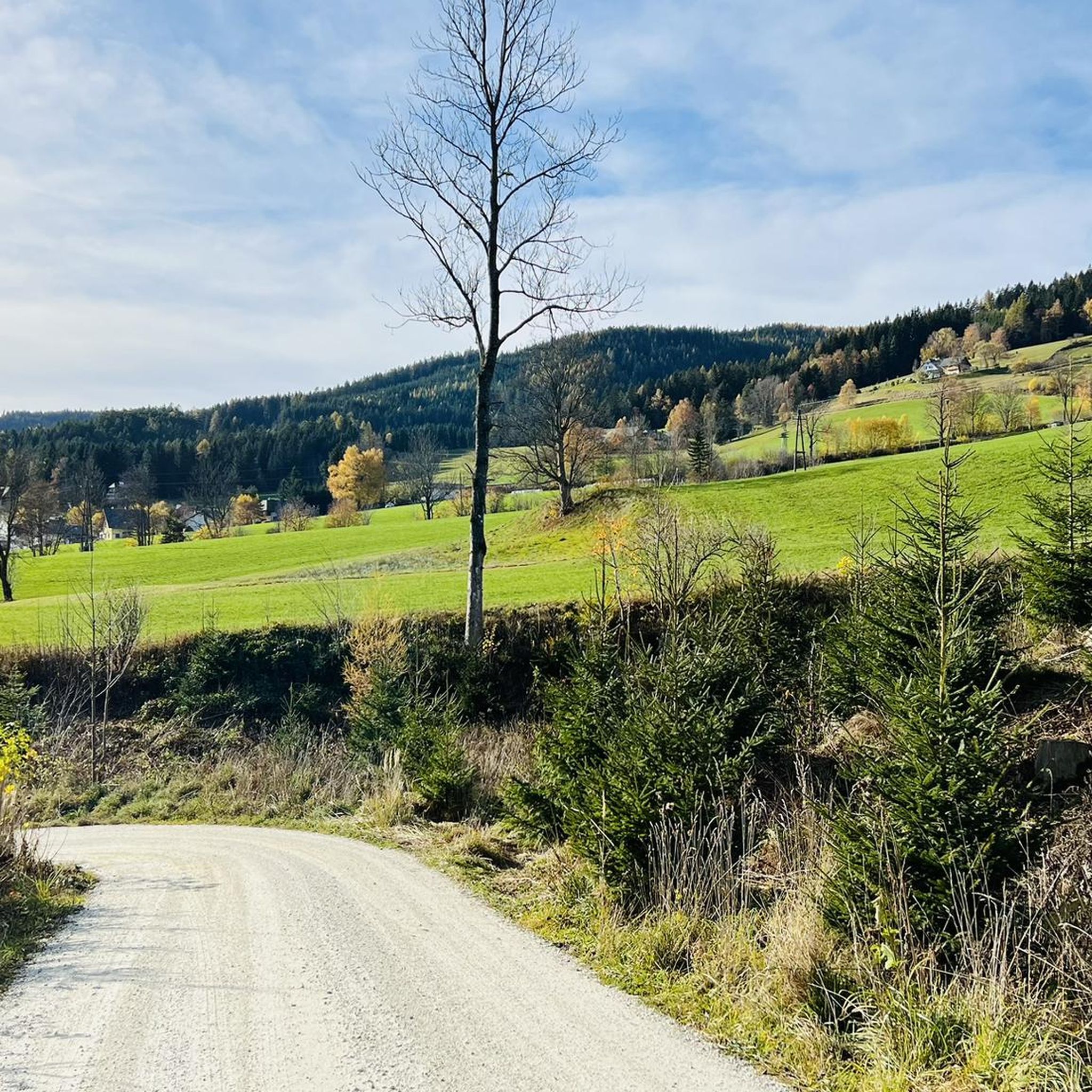
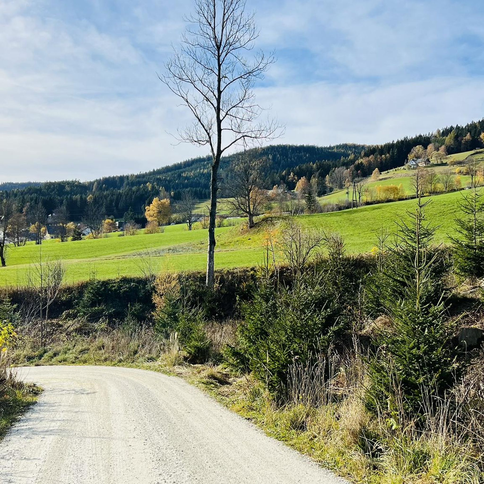
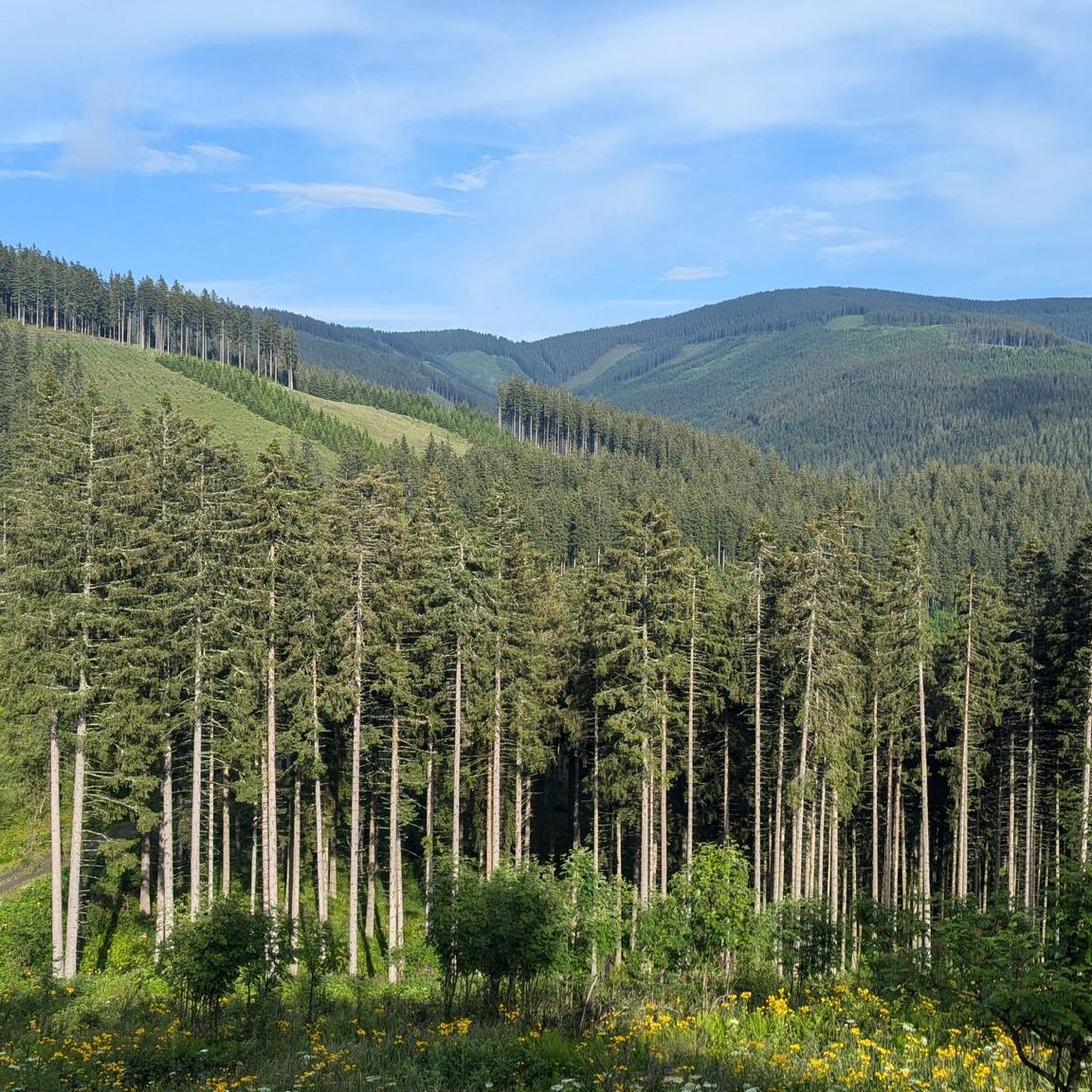
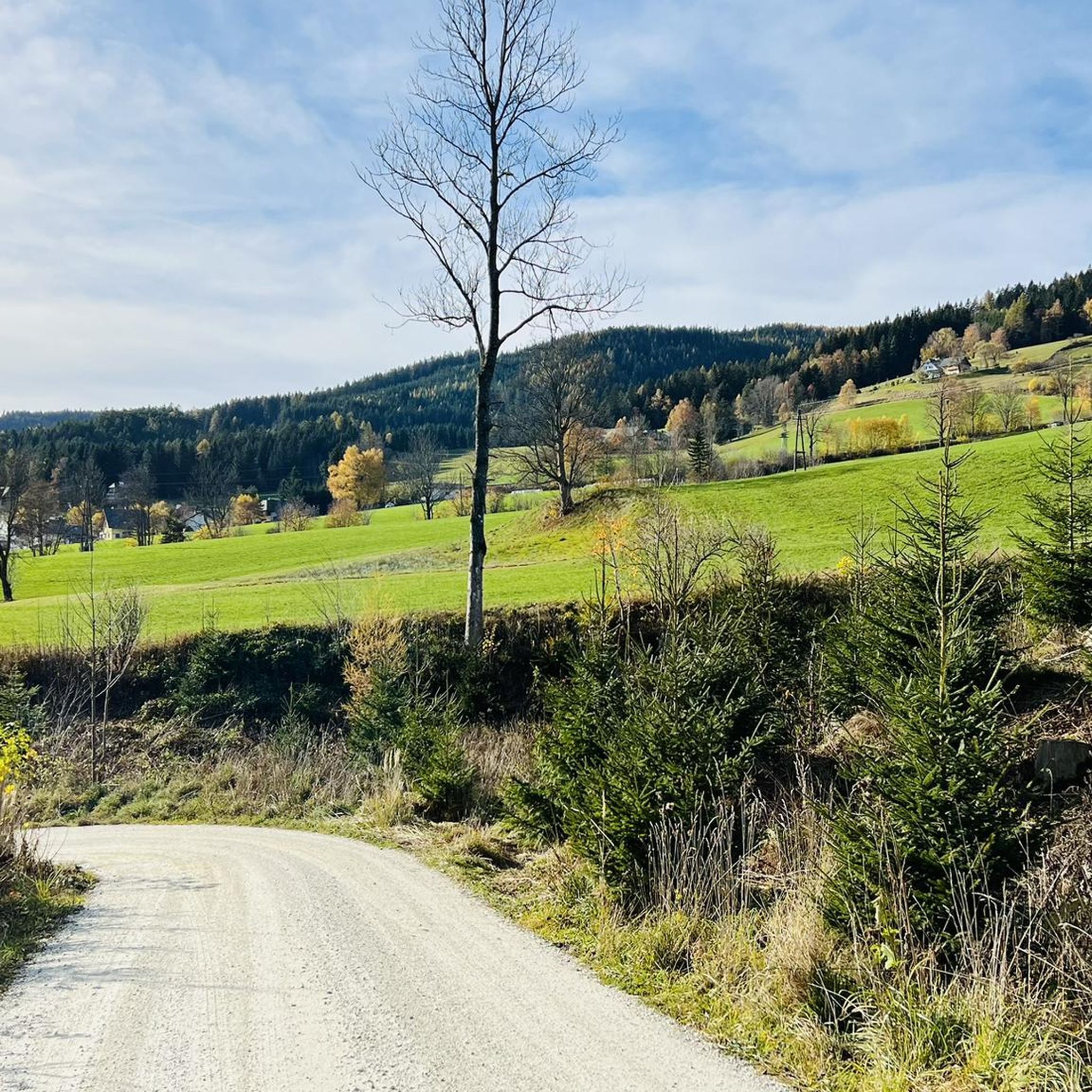
Jogging routes around Rettenegg traverse a landscape characterized by rolling hills, dense forests, and alpine pastures. The region offers a variety of elevation changes, from gentle slopes to more challenging mountain ascents. Many running routes lead through secluded valleys and past traditional huts, providing a natural setting for outdoor activity. The terrain is predominantly natural paths and forest roads, suitable for different levels of running experience.
Best jogging routes around Rettenegg
- The most popular jogging route is Steyersberger Hut –…
Last updated: October 5, 2026
30
runners
9.19km
01:04
260m
260m
Moderate run. Good fitness required. Mostly paved surfaces. Suitable for all skill levels.
8
runners
Hard run. Very good fitness required. Sure-footedness, sturdy shoes and alpine experience required.

7
runners
18.9km
02:21
510m
510m
Hard run. Very good fitness required. Mostly paved surfaces. Suitable for all skill levels.
12
runners
16.4km
01:52
430m
430m
Hard run. Very good fitness required. Mostly paved surfaces. Suitable for all skill levels.
5
runners
17.8km
02:46
980m
980m
Hard run. Very good fitness required. Sure-footedness, sturdy shoes and alpine experience required.
Get access to more routes and recommendations from other explorers.
Already have an account?
Our route recommendations are based on thousands of hikes, rides, and runs completed by other people on komoot.
Start today with a free account
Your next adventure awaits.
Tips from the Community

At the highest pasture of Molzegg, we reach the farm, which also provides meals. The self-service honesty box system is located in the backyard of the house. Payment is by cash. We can sit in the area facing the parking lot, but it is also very spacious inside, with plenty of seating. The service is friendly, and they bring our order to the table.
0
0

fantastic view into the federal states
0
0
Super view into Styria, Lower Austria...
0
0

The Niederwechsel (1,669 m) is located on the elongated ridge of the Wechsel region and, with its open alpine pastures, offers a beautiful contrast to the later forest sections. From the summit area, wide views open up over the surrounding mountain landscape and, in good visibility, to the distinctive peaks of the Eastern Alps. A worthwhile intermediate point on the way down from the Hochwechsel towards Mönichkirchner Schwaig.
3
0
The Festenburg summit is located on the Niederwechsel and is a rather inconspicuous, natural point along the ridge. Instead of a distinct summit structure, forest and the gentle landscape of the Wechselland characterize this section. A quiet waypoint away from the more prominent peaks – typical for the elongated ridges of the Wechsel Mountains.
3
0
The large wooden „W“ stands directly on the Hochwechsel and marks the start of the Hochwechsel Trail „The WU“. It serves as a kind of gateway to the mountain bike trail, which leads from here across the alpine pasture in the direction of Marienseer Schwaig. Due to its striking shape, the „W“ is now also a distinctive photo motif directly on the Hochwechsel.
3
0
The Wetterkoglerhaus is located directly on the summit of the Hochwechsel at 1,743 meters and is a hut of the Austrian Alpine Club. With good visibility, the hut offers a magnificent panorama over the Wechsel region to Schneeberg, Rax, and Hochschwab. Due to its immediate proximity to the summit cross and chapel, the Wetterkoglerhaus is an ideal resting and refreshment stop at the highest point of the tour.
4
0
The Dreiländereck lies in a saddle between Arabichl and Umschußriegel and is an important junction in the Wechsel area. Contrary to what the name suggests, three federal states do not meet here; the designation apparently dates back to the confluence of three property boundaries. From here, paths branch off in the direction of Hochwechsel, Marienseer Schwaig, Kranichberger Schwaig, and Steyersberger Schwaig, among others.
4
0
Frequently Asked Questions
How many running routes are available around Rettenegg?
Rettenegg offers a diverse network of nearly 60 running routes. These trails traverse rolling hills, dense forests, and alpine pastures, providing a variety of experiences for runners.
Are there easy jogging routes suitable for beginners in Rettenegg?
Yes, Rettenegg has a few easy running routes perfect for beginners or those looking for a less strenuous jog. These trails typically follow gentler slopes and forest paths, allowing for a comfortable experience amidst nature.
What kind of terrain can I expect on the jogging trails in Rettenegg?
The terrain around Rettenegg is predominantly natural paths and forest roads. You can expect a mix of rolling hills, dense forests, and alpine pastures, with elevation changes ranging from gentle slopes to more challenging mountain ascents.
Are there any circular jogging routes in Rettenegg?
Yes, many of the running routes in Rettenegg are designed as loops, allowing you to start and finish at the same point. For example, the challenging Running loop from Katastralgemeinde Neustift am Alpenwald is a great option for experienced runners.
What do other runners say about the trails in Rettenegg?
The running routes in Rettenegg are highly rated by the komoot community, with an average score of 4.6 stars from over 30 reviews. More than 1200 runners have explored the varied terrain, often praising the scenic views and natural setting.
Are there any jogging routes that offer scenic viewpoints or landmarks?
Absolutely! Many routes lead through picturesque landscapes. For instance, the area features stunning mountain passes like the Stuhleck Summit and Pfaffensattel Pass, which offer panoramic vistas. You might also encounter traditional huts along the way.
Can I find jogging routes that pass by waterfalls in Rettenegg?
Yes, the region around Rettenegg is home to several beautiful waterfalls. While not directly on every jogging route, you can find trails that lead near or offer detours to natural attractions like the Marienseer Waterfall or the Wechselgraben Waterfall.
Are there any long-distance running trails for experienced athletes?
For experienced runners seeking a challenge, Rettenegg offers several difficult long-distance trails. The Rabl-Kreuz-Hütte – Hochwechsel loop from Rabl-Kreuz-Hütte is a demanding 18.9 km route with significant elevation changes, perfect for a longer run.
Is Rettenegg suitable for family-friendly running outings?
While many routes involve elevation, there are easier paths that families can enjoy. Look for trails described as 'easy' which often follow wider forest roads, providing a more relaxed running or walking experience for all ages.
What is the best time of year for jogging in Rettenegg?
The best time for jogging in Rettenegg is generally from late spring to early autumn (May to October), when the weather is mild and the trails are clear of snow. During these months, the alpine meadows are vibrant, and the forest paths are inviting.
Are there any specific considerations for winter jogging in Rettenegg?
Winter jogging in Rettenegg can be challenging due to snow and ice, especially on higher elevation trails. Some lower-lying forest roads might be accessible, but it's crucial to check local conditions, wear appropriate gear, and be aware of potential hazards.
Are there jogging routes with good parking access in Rettenegg?
Many of the popular running routes in Rettenegg have designated parking areas at their starting points, particularly near trailheads or mountain huts. It's advisable to check the route details on komoot for specific parking information before you go.
Most popular routes around Rettenegg
Most popular attractions around Rettenegg

Get inspired with the komoot mobile app


Explore more
Browse the best Running Trails & Routes in other regions.
