The best mountain hikes around Pischelsdorf am Kulm
33
hikers
2
hikes
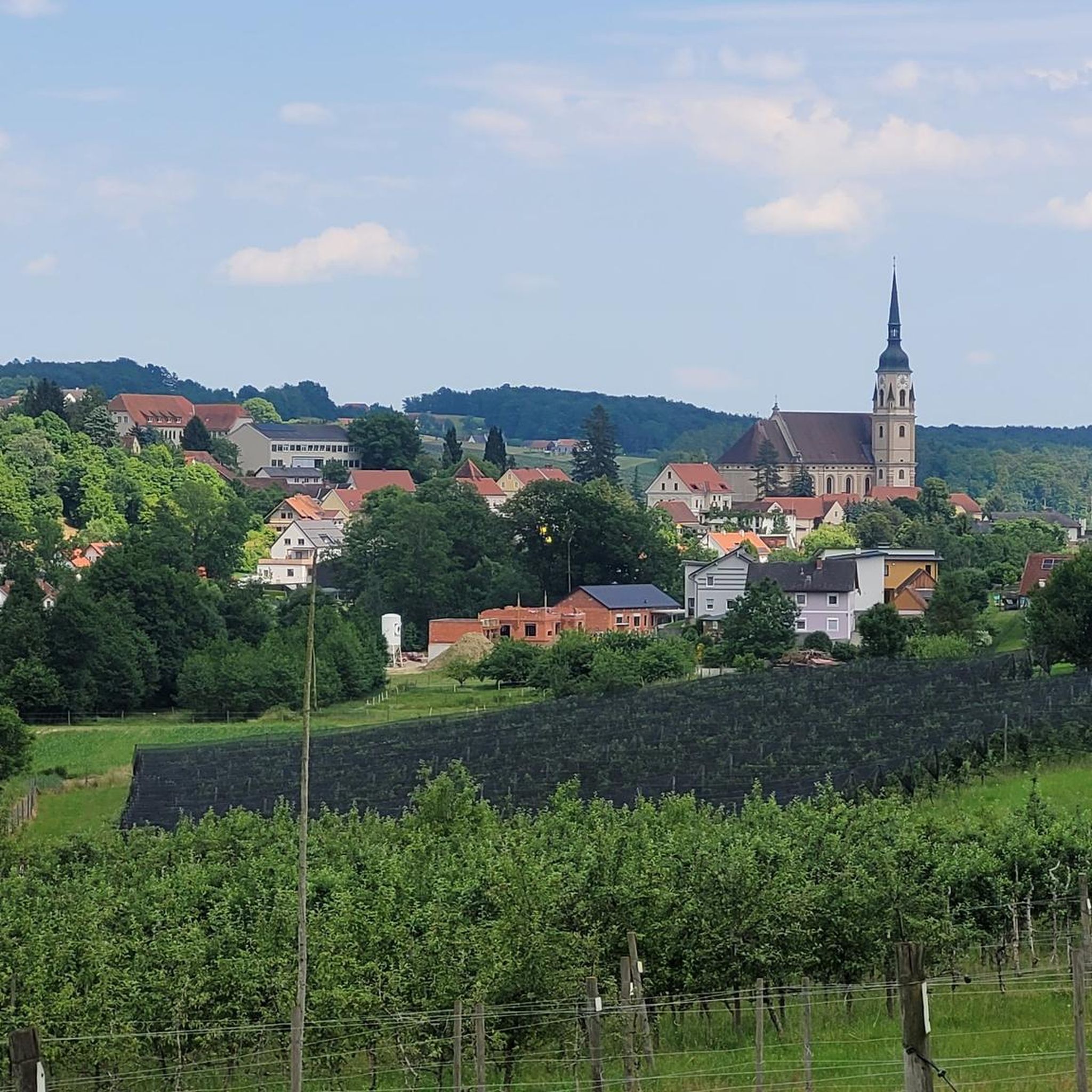
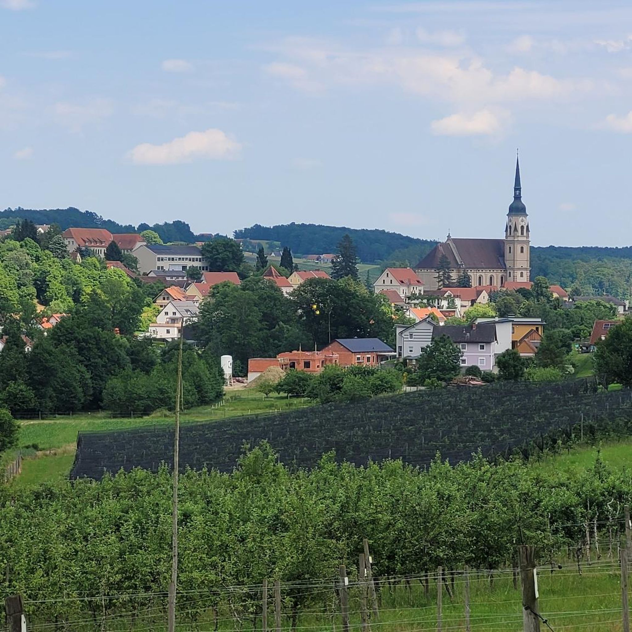
Mountaineering around Pischelsdorf am Kulm is centered on the Kulm mountain, a prominent feature rising to 975 meters. The region is characterized by a gently rolling landscape, featuring meadows, orchards, vineyards, and dense forests. Elevations range from 378 to 975 meters, offering varied terrain for mountain hiking. The area includes the Feistritzklamm Gorge, providing sections of wild nature alongside the Feistritz river.
Best mountaineering routes around Pischelsdorf am Kulm
- The most popular mountaineering route is Hoher Zetz Summit loop from Thannhausen, a 2.9 miles (4.6 km) trail that takes 1 hour 58 minutes to complete. This route offers ascents through forested areas towards a summit.
- Another top favourite among local mountaineers is Lake Stubenberg – Lake Stubenberg loop from Stubenberg, a moderate 6.5 miles (10.5 km) path. This route features varied terrain around the lake, suitable for a longer mountain hike.
- Local mountaineers also love the Hoher Zetz Summit loop from Anger, a 6.4 miles (10.3 km) trail leading through forested slopes and offering significant elevation gain, often completed in about 4 hours 24 minutes.
- Mountaineering around Pischelsdorf am Kulm is defined by rolling hills, dense forests, and panoramic viewpoints from higher elevations. The network offers options for different ability levels, primarily focusing on moderate mountain hiking.
- The guide includes highly-rated routes that showcase the best of the region's landscape. More than 30 mountaineers have used komoot to explore Pischelsdorf am Kulm's varied terrain.
Last updated: October 13, 2026
14
hikers
4.62km
01:57
400m
400m
Moderate mountaineering route. Good fitness required. Easily-accessible paths. Suitable for all skill levels.
12
hikers
8.03km
03:16
610m
610m
Moderate mountaineering route. Good fitness required. Mostly accessible paths. Sure-footedness required.

5
hikers
10.5km
03:16
320m
320m
Moderate mountaineering route. Good fitness required. Mostly accessible paths. Sure-footedness required.
2
hikers
10.3km
04:26
780m
780m
Moderate mountaineering route. Good fitness required. Mostly accessible paths. Sure-footedness required.
Our route recommendations are based on thousands of hikes, rides, and runs completed by other people on komoot.
Start today with a free account
Your next adventure awaits.

Tips from the Community

Attached are the tour data for this highlight: https://www.komoot.com/de-de/user/2058612300722
0
0
attached the tour data to this highlight: https://www.komoot.com/de-de/user/2058612300722
0
0
Here are the tour data for this highlight: https://www.komoot.com/de-de/user/2058612300722
0
0

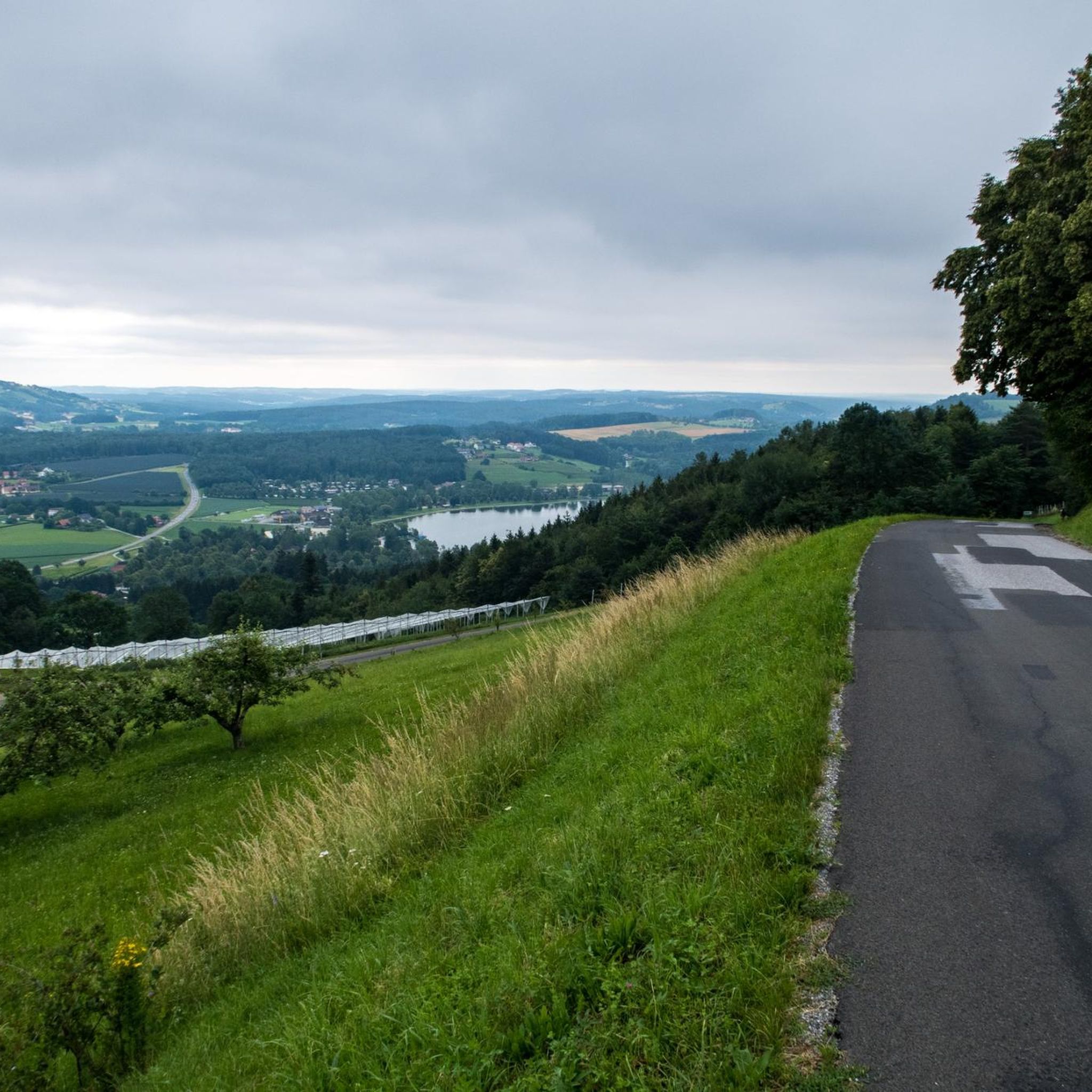
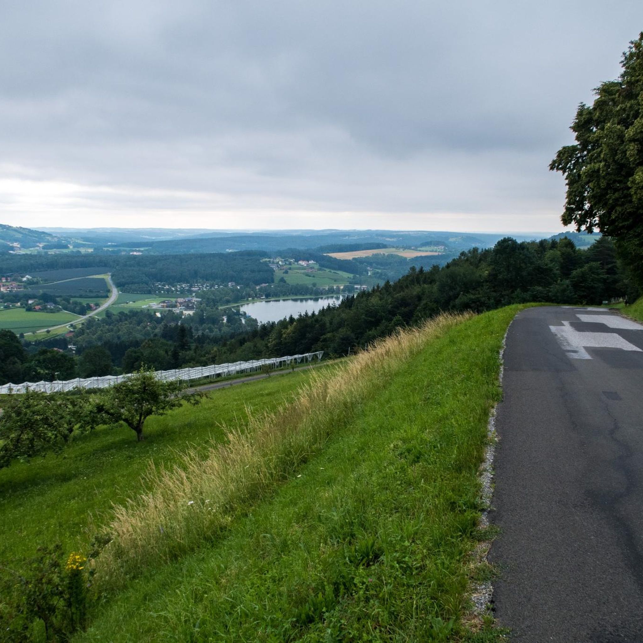
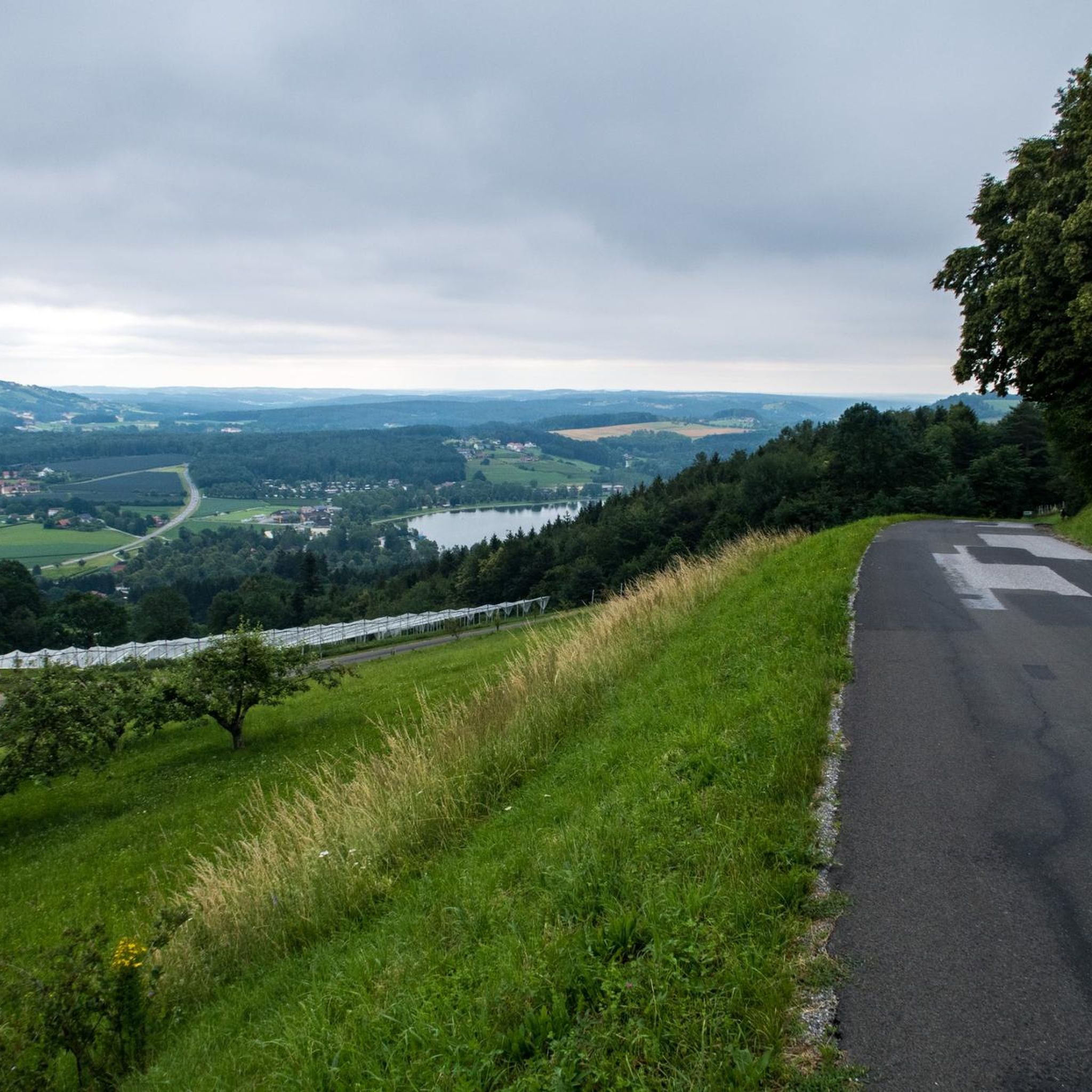
Simply brilliant. The view from here of the valley with the Stubenbergsee. And there's also a bit of an adrenaline rush when hiking up over roots and rocks near the abyss. But there is also a fence for safety.
0
0
Perfect starting point for hikes in the area. And I don't think the maximum fee of 4,- for the whole day is too bad either.
0
0

Before the cross crowning the summit of the 'Hoher Zetz' here, I would like to recall a fitting thought from Bishop Reinhold Stecher (*1921, + 2013). Martin Kolozs, in a podcast by ORF, paid tribute to the beloved pastor: „Above all, the mountains... he preferably chose them as a symbol of the often questioned, often burdened, but equally often confirmed relationship between man and God, which manifests itself wonderfully and healingly in experiences with nature. For Reinhold Stecher, who climbed all the peaks around Innsbruck and celebrated countless mountain masses, respect for and protection of God's creation were equivalent to divine worship, as he was rock-solidly convinced: »Many paths lead to God. One leads over the mountains.« (Source: https://oe1.orf.at/programm/20180202/503400/Martin-Kolozs-ueber-Reinhold-Stecher )
0
0
Worth a visit any time of year. Action in summer. Peace and quiet in winter, romance in autumn. Awakening in spring. We always love coming back here.
1
0

a large, paid parking lot
0
0
Frequently Asked Questions
Are there circular mountaineering routes available around Pischelsdorf am Kulm?
Yes, the region offers several circular routes for mountain hiking. For example, the Hoher Zetz Summit loop from Thannhausen provides a scenic ascent through forested areas. Another option is the Lake Stubenberg – Lake Stubenberg loop from Stubenberg, which offers varied terrain around the lake.
What kind of terrain can I expect on mountaineering routes in this area?
The terrain around Pischelsdorf am Kulm is characterized by a gently rolling landscape, featuring meadows, orchards, vineyards, and dense forests. You'll encounter ascents and descents through wooded areas, open fields, and paths around natural features like Lake Stubenberg. Elevations range from 378 to 975 meters, offering diverse conditions for mountain hiking.
Are there any routes suitable for families with children?
While specific 'family-friendly' routes are not explicitly categorized as mountaineering, the region's diverse hiking network includes options that can be adapted. The area around Lake Stubenberg, for instance, offers more gentle paths. For a moderate mountain hike, the Lake Stubenberg – Lake Stubenberg loop from Stubenberg is a popular choice, though it's still a significant distance.
What are some notable viewpoints or natural attractions along the routes?
The dominant natural feature is the Kulm mountain itself, offering magnificent panoramic views over Eastern Styria and extending to the Pannonian lowlands. You can also find highlights like the Kulm Summit, the Raas Summit Cross, and the Freiberger Wetterkreuz. The Lake Stubenberg is another beautiful spot, with routes often circling its shores.
Are dogs allowed on the mountaineering trails?
Generally, dogs are welcome on hiking trails in the Pischelsdorf am Kulm region. However, it's always advisable to keep them on a leash, especially in forested areas, near livestock, or in nature protection zones. Please ensure you carry water for your dog and clean up after them.
How long do the mountaineering routes typically take to complete?
The duration of routes varies depending on their length and elevation gain. For example, the Hoher Zetz Summit loop from Thannhausen can be completed in under 2 hours, while the Hoher Zetz Summit loop from Anger, with its significant elevation gain, typically takes around 4 hours and 24 minutes.
What is the best time of year for mountaineering in Pischelsdorf am Kulm?
The region is enjoyable for mountain hiking throughout much of the year. Spring and autumn offer pleasant temperatures and vibrant scenery with blooming orchards or colorful foliage. Summer is also popular, though it can be warmer, making early morning starts ideal. While winter hiking is possible, some trails might be covered in snow or ice, requiring appropriate gear and caution.
Are there places to eat or rest near the mountaineering routes?
Yes, you can find options for refreshments. For instance, the Wittgruberhof Inn is a highlight in the area, offering a place to rest and enjoy local cuisine. Many villages and towns in the region, like Pischelsdorf itself, also have restaurants and cafes.
What is the difficulty level of the mountaineering routes in this guide?
The routes featured in this guide are generally classified as 'moderate'. This means they involve significant ascents and descents, varied terrain, and require a good level of fitness. They are suitable for experienced hikers looking for a challenging mountain experience without technical climbing.
Where can I find parking for these mountaineering routes?
Parking is typically available at the starting points of many routes, especially in or near towns like Thannhausen, Stubenberg, or Anger. Specific parking information is often detailed on individual route pages on komoot, so it's best to check the tour details for your chosen route.
Are there any historical or cultural points of interest to explore in the area?
Yes, Pischelsdorf am Kulm has historical significance. The Kulm mountain was an ancient settlement area with evidence of Celtic habitation. You can visit the Kulm-Keltendorf, Styria's first prehistoric open-air museum, which reconstructs ancient Celtic dwellings. The 77-meter-high church tower of Pischelsdorf, the tallest in Eastern Styria, also offers guided tours with panoramic views.
Most popular routes around Pischelsdorf am Kulm
Most popular attractions around Pischelsdorf am Kulm

Get inspired with the komoot mobile app


Explore more
Browse the best Mountain Hikes & Routes in other regions.
