The best mountain hikes around Altenmarkt bei Sankt Gallen
4.8
(13)
152
hikers
8
hikes
Mountaineering routes around Altenmarkt bei Sankt Gallen are set within the Ennstal Alps, characterized by majestic peaks and diverse alpine terrain. The region features deeply incised riverbeds, dense forests, and dramatic gorges, providing a varied landscape for ascents. Prominent summits like Stumpfmauer and Tamischbachturm offer challenging climbs and expansive views across the surrounding mountain ranges. This area is defined by its high-alpine environment, making it suitable for experienced mountaineers.
Best mountaineering routes around Altenmarkt bei Sankt Gallen
- The most popular mountaineering route is Stumpfmauer Summit View – Stumpfmauer (1770 m) loop from Wenten, a 6.7 miles (10.8 km) trail that takes 5 hours 49 minutes to complete. This difficult route leads to the summit of Stumpfmauer, offering wide panoramic views.
- Another top favourite among local mountaineers is Ennstaler Hut – Tamischbachturm Summit loop from Ischbauernkopf, a difficult 7.8 miles (12.6 km) path. This challenging ascent leads to the Tamischbachturm summit, known for its high-alpine character.
- Local mountaineers also love the Mountaineering loop from Oberreith, a 6.0 miles (9.7 km) trail leading through varied alpine terrain, often completed in about 3 hours 45 minutes.
- Mountaineering around Altenmarkt bei Sankt Gallen is defined by majestic peaks of the Ennstal Alps, dense forests, and dramatic gorges. The network offers options for both moderate and difficult ability levels, primarily catering to experienced mountaineers.
- The routes in Altenmarkt bei Sankt Gallen are highly rated by the komoot community with an average score of 4.8 stars from more than 10 reviews. More than 150 mountaineers have used komoot to explore Altenmarkt bei Sankt Gallen's varied terrain.
Last updated: July 1, 2026
5.0
(3)
30
hikers
10.8km
05:49
1,130m
1,130m
Hard mountaineering route. Very good fitness required. Mostly accessible paths. Sure-footedness required.
5.0
(3)
29
hikers
12.6km
07:11
1,310m
1,310m
Hard mountaineering route. Very good fitness required. Sure-footedness, sturdy shoes and alpine experience required.

Sign up for free
5.0
(2)
23
hikers
14.2km
06:50
1,010m
1,010m
Hard mountaineering route. Very good fitness required. Sure-footedness, sturdy shoes and alpine experience required.
16
hikers
16.5km
07:44
1,230m
1,230m
Hard mountaineering route. Very good fitness required. Sure-footedness, sturdy shoes and alpine experience required.
5.0
(1)
14
hikers
11.2km
04:49
910m
910m
Hard mountaineering route. Very good fitness required. Mostly accessible paths. Sure-footedness required.
Get access to more routes and recommendations from other explorers.
Sign up for free
Already have an account?
Our route recommendations are based on thousands of hikes, rides, and runs completed by other people on komoot.
Start today with a free account
Your next adventure awaits.
Login or Signup
Popular around Altenmarkt bei Sankt Gallen

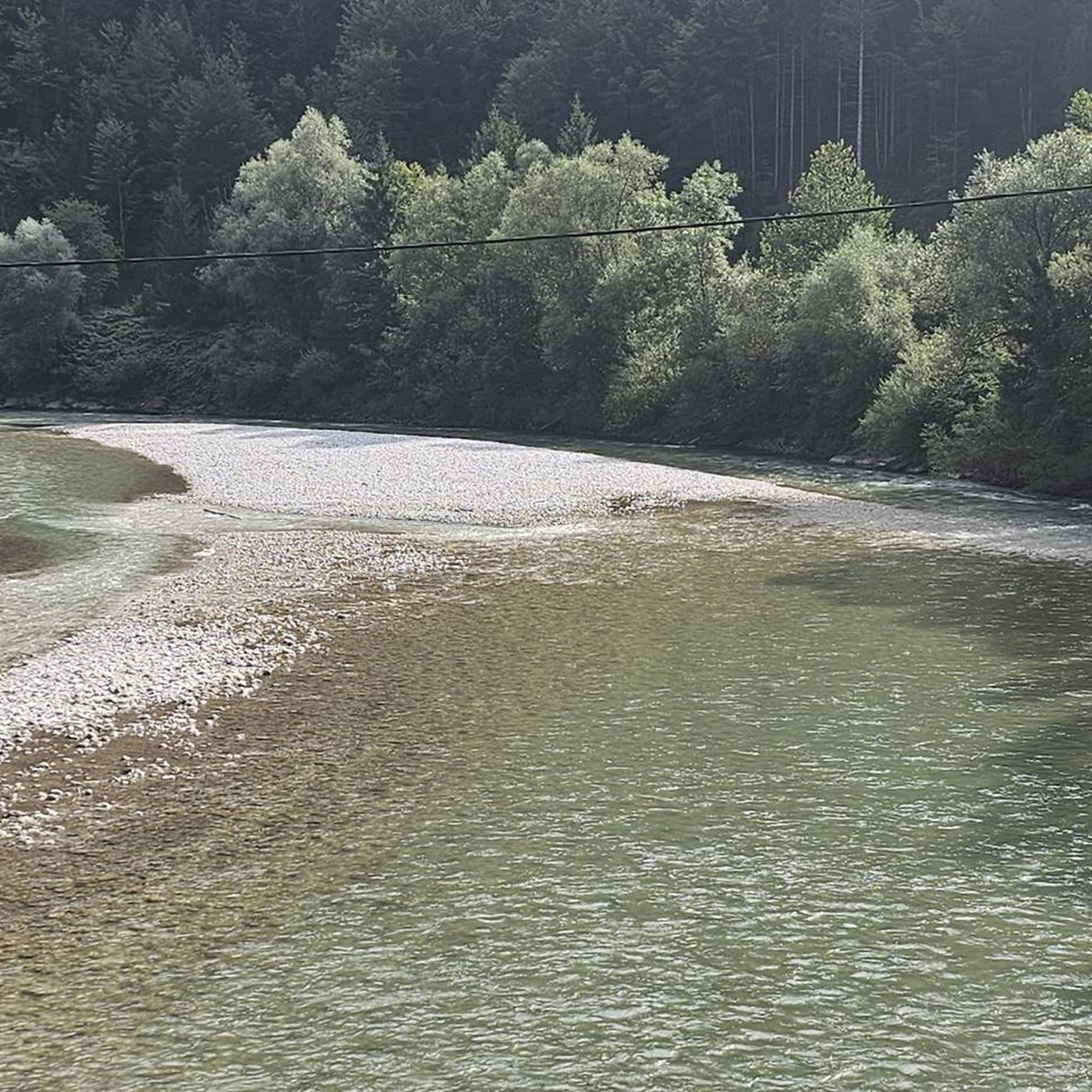
Other adventures around Altenmarkt bei Sankt Gallen

Tips from the Community


Very nice, friendly service and great MBT!
0
0

"The Voralpe, or Voralm, is a mountain in the Ybbstal Alps in the border triangle of Lower Austria, Upper Austria, and Styria. The mountain has two main peaks: the 1,770 m (5,700 ft) high Stumpfmauer on the border between Lower Austria and Upper Austria, which drops steeply to the southeast; and further southwest, the 1,727 m (5,700 ft) high Tanzboden on the border between Lower Austria and Styria. The border triangle is located in the saddle between the peaks. The Stumpfmauer is the highest elevation in the Steyr-Land district. The Voralpe can be climbed from Hollenstein an der Ybbs or from Altenmarkt, partly via roads and partly via trails, in about three hours. The crossing from one peak to the other takes about 45 minutes. The Eisenwurzenweg (Austrian Long-Distance Hiking Trail 08) also leads over the Voralpe." https://de.wikipedia.org/wiki/Voralpe
0
0

Good stamina required! One of the most beautiful mountains with a view!
0
0

great view, nice staff, very dog-friendly 🐾, great food! Another climb up the Tamischbach tower is worth it!! 😍
0
0

A strenuous climb, but you will be rewarded with a magnificent view
1
0
Frequently Asked Questions
What is the general difficulty level of mountaineering routes around Altenmarkt bei Sankt Gallen?
The mountaineering routes in Altenmarkt bei Sankt Gallen primarily cater to experienced mountaineers, with the majority of the 8 available routes rated as difficult. There is one moderate route for those seeking a slightly less strenuous ascent.
Are there any circular mountaineering routes in the area?
Yes, several mountaineering routes in the region are designed as loops, allowing you to start and end at the same point. For example, you can explore the Stumpfmauer Summit View – Stumpfmauer (1770 m) loop from Wenten, or the challenging Ennstaler Hut – Tamischbachturm Summit loop from Ischbauernkopf. Another option is the Mountaineering loop from Oberreith.
What natural landmarks can I expect to see along the mountaineering routes?
The region is rich in natural beauty. You'll encounter majestic peaks like Stumpfmauer and Tamischbachturm Summit, offering expansive panoramic views. The deeply incised Enns River and dramatic gorges like Nothklamm and Spitzenbachklamm also define the landscape. Don't miss the impressive Schleierfall Waterfall (Wasserlochklamm), especially after heavy rainfall.
Are there any mountain huts or places to stop for refreshments on the routes?
Yes, the area features numerous alpine pastures, huts, and mountain inns. A notable stop is the Ennstaler Hut, which is part of the challenging Ennstaler Hut – Tamischbachturm Summit loop from Ischbauernkopf, offering a welcome break and local delicacies after an ascent.
What is the best time of year for mountaineering in Altenmarkt bei Sankt Gallen?
The best time for mountaineering in the Ennstal Alps is typically from late spring to early autumn (May to October), when the trails are generally free of snow and the weather conditions are more stable. Always check local weather forecasts and trail conditions before heading out, especially for high-alpine routes.
Are there any family-friendly mountaineering options, or easier trails suitable for beginners?
While most mountaineering routes in this specific guide are difficult, the broader Altenmarkt bei Sankt Gallen region offers diverse options. For families or beginners, consider exploring themed paths like the 'Weg der Sinne' in Naturpark Eisenwurzen, or enjoying leisurely walks around Putterersee Lake. These provide a gentler introduction to the natural environment without the demands of high-alpine mountaineering.
Can I bring my dog on the mountaineering trails?
Generally, dogs are permitted on hiking and mountaineering trails in the Austrian Alps, but it's crucial to keep them on a leash, especially in areas with grazing livestock or wildlife. Always carry water for your dog and be mindful of local regulations, which can vary. Some protected areas might have specific restrictions.
What do other mountaineers enjoy most about the routes in Altenmarkt bei Sankt Gallen?
The mountaineering routes around Altenmarkt bei Sankt Gallen are highly rated by the komoot community, with an average score of 4.8 stars. Reviewers often praise the challenging ascents, the rewarding panoramic views from summits like Stumpfmauer and Tamischbachturm, and the diverse alpine terrain that makes each tour a unique experience.
Are there options for less crowded mountaineering experiences?
To find less crowded routes, consider exploring trails during off-peak times, such as weekdays or outside of the main summer holiday season. Routes like Sandgraben – Gamsstein (1,770 m) loop from Naturpark Eisenwurzen or Hochkogel (1774 m) – Gamsstein (1,770 m) loop from Palfau might offer a more tranquil experience compared to the most popular summits, especially if you start early.
What kind of wildlife might I encounter while mountaineering?
The Ennstal Alps are home to diverse alpine wildlife. You might spot chamois and ibex on higher rocky slopes, various bird species including birds of prey, and smaller mammals in the forests and meadows. Keep a respectful distance and avoid disturbing their natural habitat.
Is public transport available to access the mountaineering trailheads?
While specific public transport connections to every trailhead can vary, the region generally has bus services connecting villages. For detailed information on reaching specific starting points, it's advisable to check local bus schedules or regional transport websites, as some remote trailheads might require private transport or a short taxi ride.
Where can I find parking for mountaineering routes?
Many popular trailheads, especially those leading to significant peaks or attractions, offer designated parking areas. For example, routes starting from Wenten or Palfau typically have parking available. It's always recommended to check the specific route details on komoot or local tourist information for precise parking locations and any potential fees before your trip.
Most popular routes around Altenmarkt bei Sankt Gallen
Most popular attractions around Altenmarkt bei Sankt Gallen

Get inspired with the komoot mobile app


Explore more
Browse the best Mountain Hikes & Routes in other regions.
