The best running trails around Radbourne CP
4.1
(18)
1,054
runners
138
runs
Jogging around Radbourne CP offers diverse landscapes for outdoor activity. The region features a mix of farmland, estate land, and woodlands, providing varied experiences for runners. South Derbyshire footpaths offer different aesthetics throughout the seasons, with routes that are generally well-used and easy to follow. Joggers can appreciate scenic views along many of the trails.
Best jogging routes around Radbourne CP
- The most popular jogging route is Quarry Route loop from Napton on the Hill CP, a 4.6 miles…
Last updated: June 24, 2026
35
runners
Moderate run. Good fitness required. Mostly paved surfaces. Suitable for all skill levels.
18
runners
Moderate run. Good fitness required. Mostly paved surfaces. Suitable for all skill levels.

Sign up for free
3.0
(1)
6
runners
6.72km
00:42
50m
50m
Moderate run. Good fitness required. Mostly paved surfaces. Suitable for all skill levels.
8
runners
Moderate run. Good fitness required. Mostly paved surfaces. Suitable for all skill levels.
11
runners
5.24km
00:33
40m
40m
Moderate run. Good fitness required. Mostly paved surfaces. Suitable for all skill levels.
Get access to more routes and recommendations from other explorers.
Sign up for free
Already have an account?
Our route recommendations are based on thousands of hikes, rides, and runs completed by other people on komoot.
Start today with a free account
Your next adventure awaits.
Login or Signup
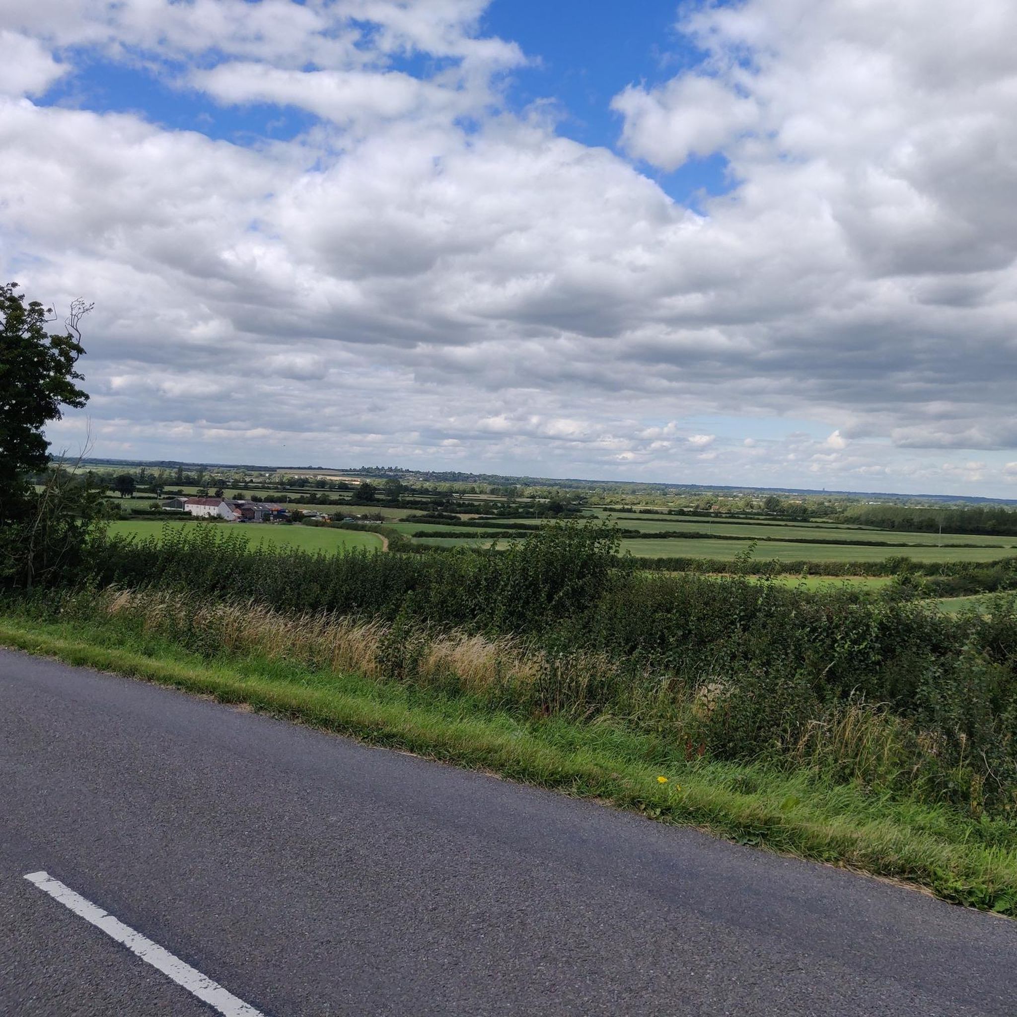
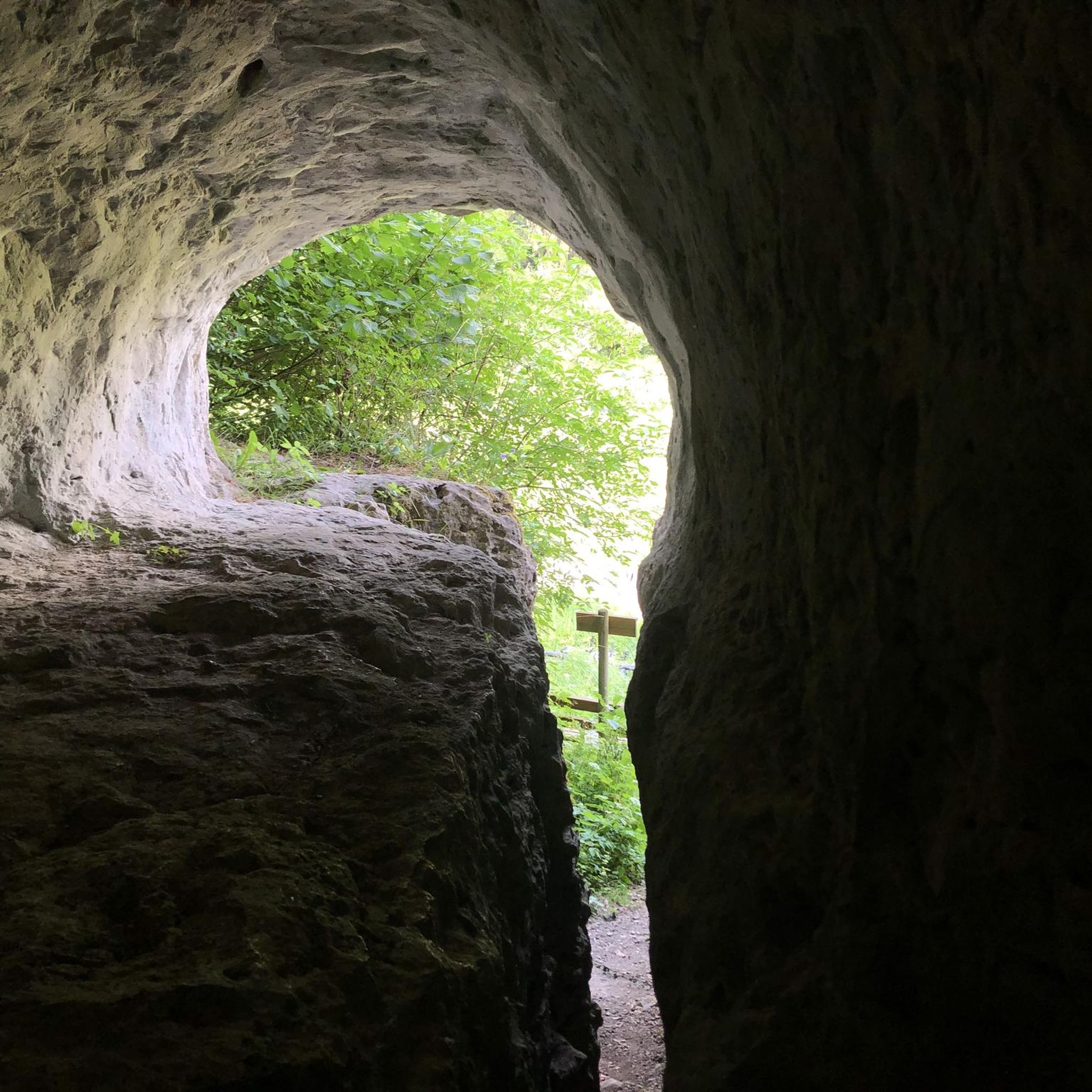
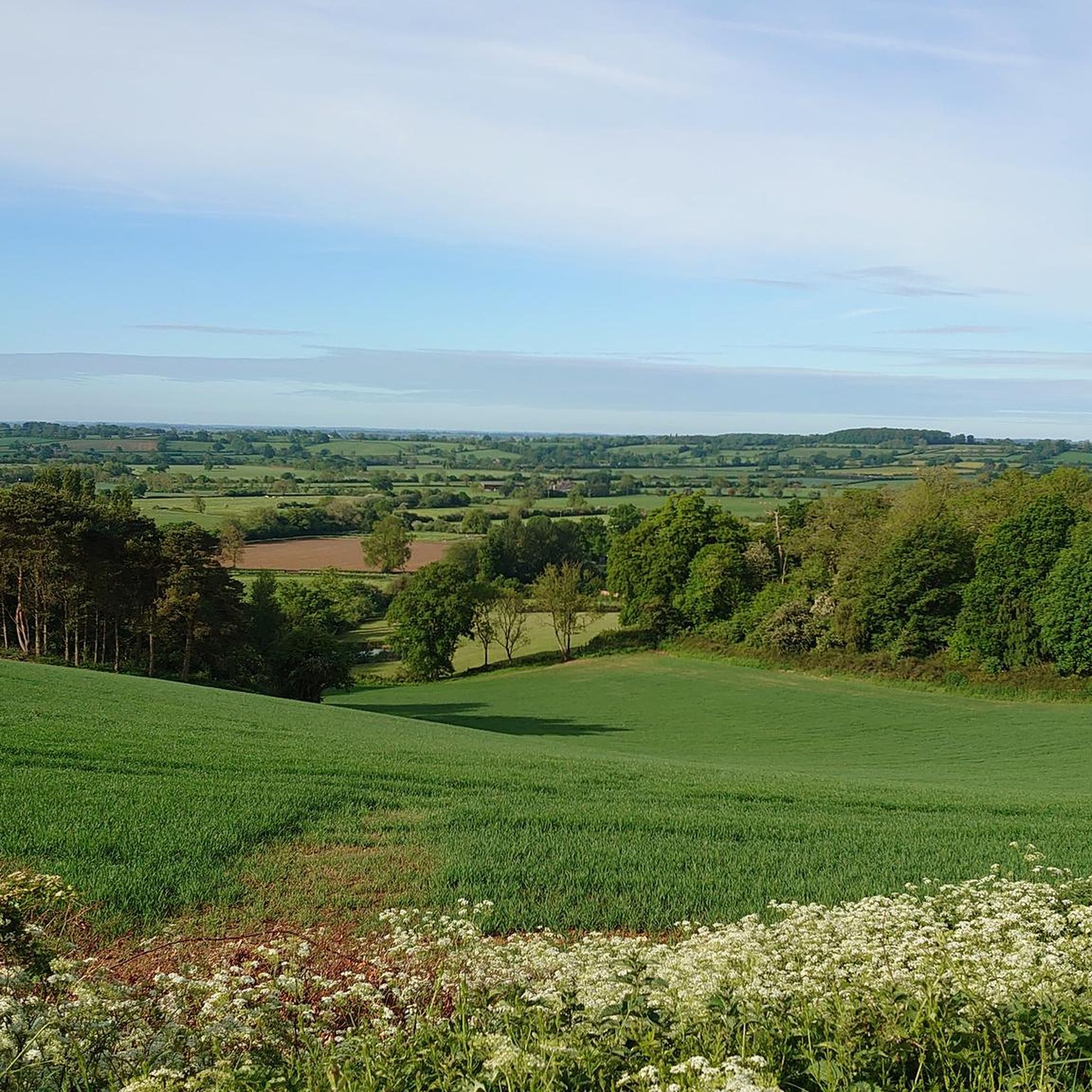
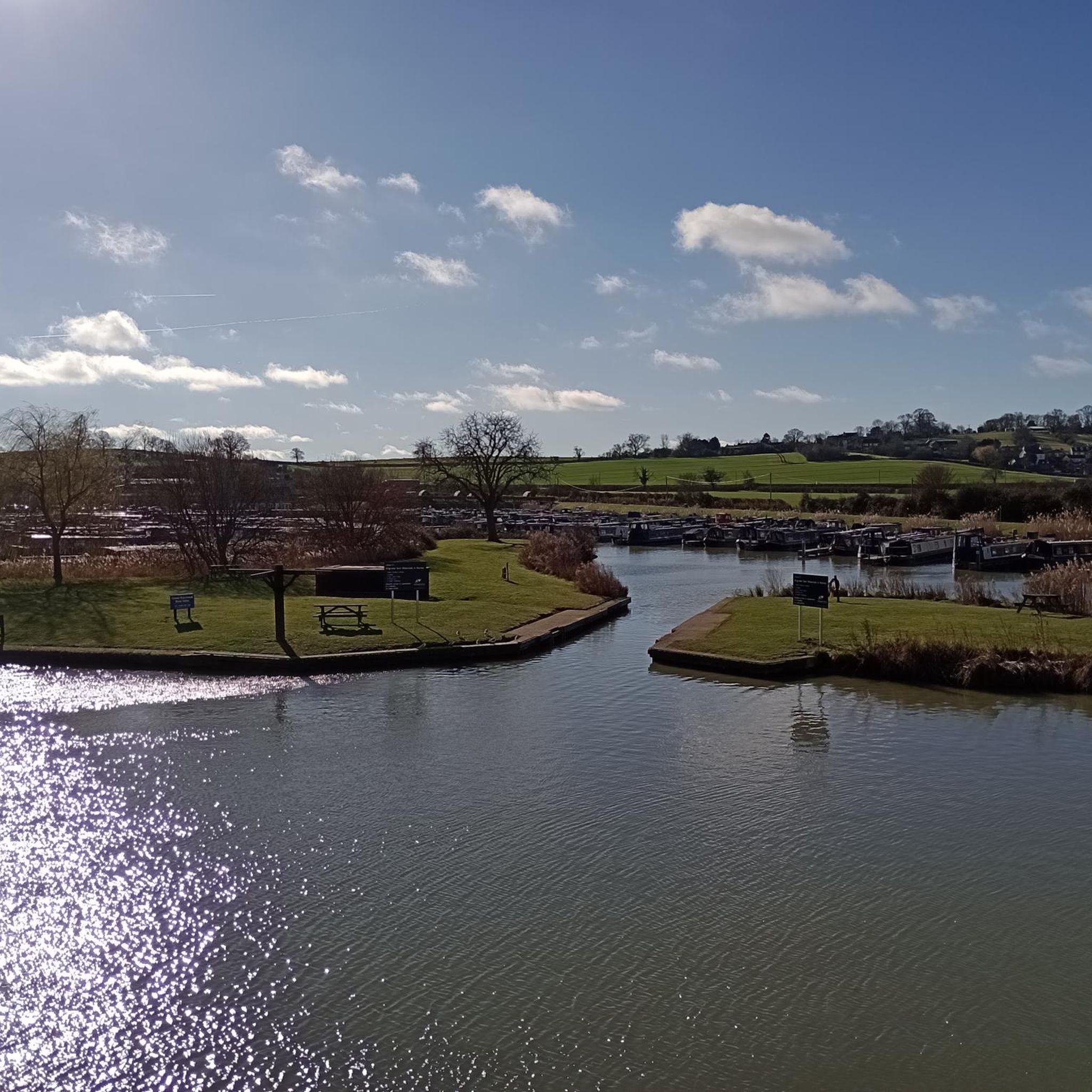
Tips from the Community

This church is located in the center of Southam, very close to the River Stowe. The church, dedicated to the Apostle Saint James, was built during the 14th century with lias and red sandstone. The structure consists of a nave, chancel, aisles, and north and south porches, as well as a west tower with a spire
1
0

A fine example of a Warwickshire town. Lovely old town centre with plenty of options for refreshments.
1
0

Napton Bridge No 110 is a minor waterways place on the Oxford Canal (Southern Section - Main Line) between Old Engine House Arm Junction (2 miles and 5¾ furlongs and 7 locks to the south) and Napton Junction (Junction of Grand Union and Oxford Canals) (3¾ furlongs to the east). The nearest place in the direction of Old Engine House Arm Junction is Bridge Inn Winding Hole; 3 furlongs away. The nearest place in the direction of Napton Junction is Coventry Road Bridge No 109; ¾ furlongs away.
0
0
Napton Lock No 12 is a minor waterways place on the Oxford Canal (Southern Section - Main Line) between Old Engine House Arm Junction (4¾ furlongs and 2 locks to the south) and Napton Junction (Junction of Grand Union and Oxford Canals) (2 miles and 4½ furlongs and 4 locks to the northeast). It is part of Napton Locks. The nearest place in the direction of Old Engine House Arm Junction is Napton Lock No 13; ¾ furlongs away. The nearest place in the direction of Napton Junction is Shut Bridge No 115; a few yards away.
0
0
Shut Bridge No 115 is a minor waterways place on the Oxford Canal (Southern Section - Main Line) between Old Engine House Arm Junction (5 furlongs and 3 locks to the south) and Napton Junction (Junction of Grand Union and Oxford Canals) (2 miles and 4½ furlongs and 4 locks to the northeast). It is part of Napton Locks. The nearest place in the direction of Old Engine House Arm Junction is Napton Lock No 12; a few yards away. The nearest place in the direction of Napton Junction is Napton Lock No 11; 1¼ furlongs away.
0
0
Marston Doles Bridge No 119 is a minor waterways place on the Oxford Canal (Southern Section - Main Line) between Fenny Compton Wharf (7 miles and 4¼ furlongs and 1 lock to the southwest) and Old Engine House Arm Junction (6½ furlongs and 1 lock to the northwest). It is part of Napton Locks. The nearest place in the direction of Fenny Compton Wharf is Marston Doles Top Lock No 16; a few yards away. The nearest place in the direction of Old Engine House Arm Junction is Marston Doles Bottom Lock No 15; 1 furlong away.
0
0
Napton Marina is a place on the waterways on the Oxford Canal (Southern Section - Main Line) between Old Engine House Arm Junction (2 miles and 7¾ furlongs and 7 locks to the south) and Napton Junction (Junction of Grand Union and Oxford Canals) (1½ furlongs to the east). The nearest place in the direction of Old Engine House Arm Junction is Coventry Road Bridge No 109; 1¼ furlongs away.
0
0
Coventry Road Bridge No 109 is a minor waterways place on the Oxford Canal (Southern Section - Main Line) between Old Engine House Arm Junction (2 miles and 6½ furlongs and 7 locks to the south) and Napton Junction (Junction of Grand Union and Oxford Canals) (2¾ furlongs to the east). The nearest place in the direction of Old Engine House Arm Junction is Napton Bridge No 110; ¾ furlongs away. The nearest place in the direction of Napton Junction is Napton Marina; 1¼ furlongs away.
0
0
Frequently Asked Questions
How many running routes are available in Radbourne CP?
Radbourne CP offers a wide selection of running routes, with over 140 trails documented on komoot. These routes cater to various fitness levels, including 11 easy, 112 moderate, and 18 difficult options.
What kind of landscapes can I expect while jogging in Radbourne CP?
Jogging in Radbourne CP provides a diverse experience, featuring a mix of farmland, estate land, and woodlands. You'll encounter beautiful South Derbyshire footpaths that change aesthetics with the seasons, offering varied and engaging scenery for your run.
Are there any easy jogging routes suitable for beginners or a relaxed pace?
Yes, Radbourne CP has 11 easy jogging routes perfect for beginners or those looking for a more relaxed run. These paths are generally well-used and easy to follow, allowing for a peaceful experience.
What do other runners say about the trails in Radbourne CP?
The running trails in Radbourne CP are highly rated by the komoot community, holding an average score of 4.1 stars from over 10 reviews. Runners often praise the diverse landscapes, accessible paths, and scenic views that make for an enjoyable experience.
Are there any circular running routes in Radbourne CP?
Yes, many of the routes in Radbourne CP are circular, offering convenient start and end points. An example is the Quarry Route loop from Napton on the Hill CP, which is a moderate 4.6-mile trail.
Can I find any landmarks or points of interest along the running routes?
While running in Radbourne CP, you can explore several interesting points. Nearby attractions include historical sites like All Saints' Church, Burton Dassett, and St. Giles Church, Chesterton. You might also encounter natural features such as Holy Well, Southam, or various lakes like Bishops Bowl Lakes.
Are the running paths in Radbourne CP suitable for families?
Many of the paths in Radbourne CP are accessible and suitable for various skill levels, including families. The presence of easy routes and generally well-maintained footpaths makes it a versatile destination for family-friendly runs, though some routes might involve mud or livestock.
What is the typical terrain like for jogging in Radbourne CP?
The terrain in Radbourne CP is varied, encompassing farmland, estate land, and woodlands. While paths are generally well-used and easy to follow, be prepared for some mud, especially after rain, and occasional encounters with livestock like cows and sheep.
Are there any longer running routes for experienced runners?
For experienced runners seeking a longer challenge, Radbourne CP offers routes like the Holy Well, Burton Dassett – Burton Dassett Country Park loop from Wormleighton CP. This moderate trail spans 8.4 miles and takes about 1 hour 30 minutes to complete, leading through estate land and parkland.
Can I find quiet running trails in Radbourne CP?
Despite being well-used, the footpaths in Radbourne CP are often quiet enough for individuals to enjoy a peaceful run. The varied landscapes and extensive network of trails provide opportunities for tranquil reflection while jogging.
Are there any running routes that offer particularly great views?
Yes, many of the running routes in Radbourne CP are known for offering 'really great views'. The diverse landscapes of farmland, estate land, and woodlands provide scenic backdrops, especially along the South Derbyshire footpaths.
What is the average distance of running routes in Radbourne CP?
The running routes in Radbourne CP vary in distance, but many popular options fall within the moderate range. For example, the Running loop from Priors Marston CP is 4.2 miles, and the St James' Church, Southam loop from Southam is 3.2 miles, offering accessible distances for many runners.
Most popular routes around Radbourne CP
Most popular attractions around Radbourne CP

Get inspired with the komoot mobile app


Explore more
Browse the best Running Trails & Routes in other regions.
