The best mountain hikes around Stuhlfelden
4.7
(30)
338
hikers
27
hikes
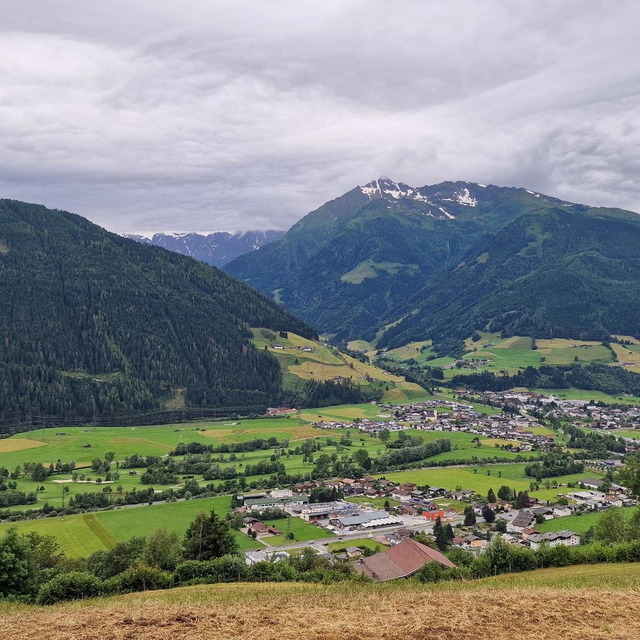
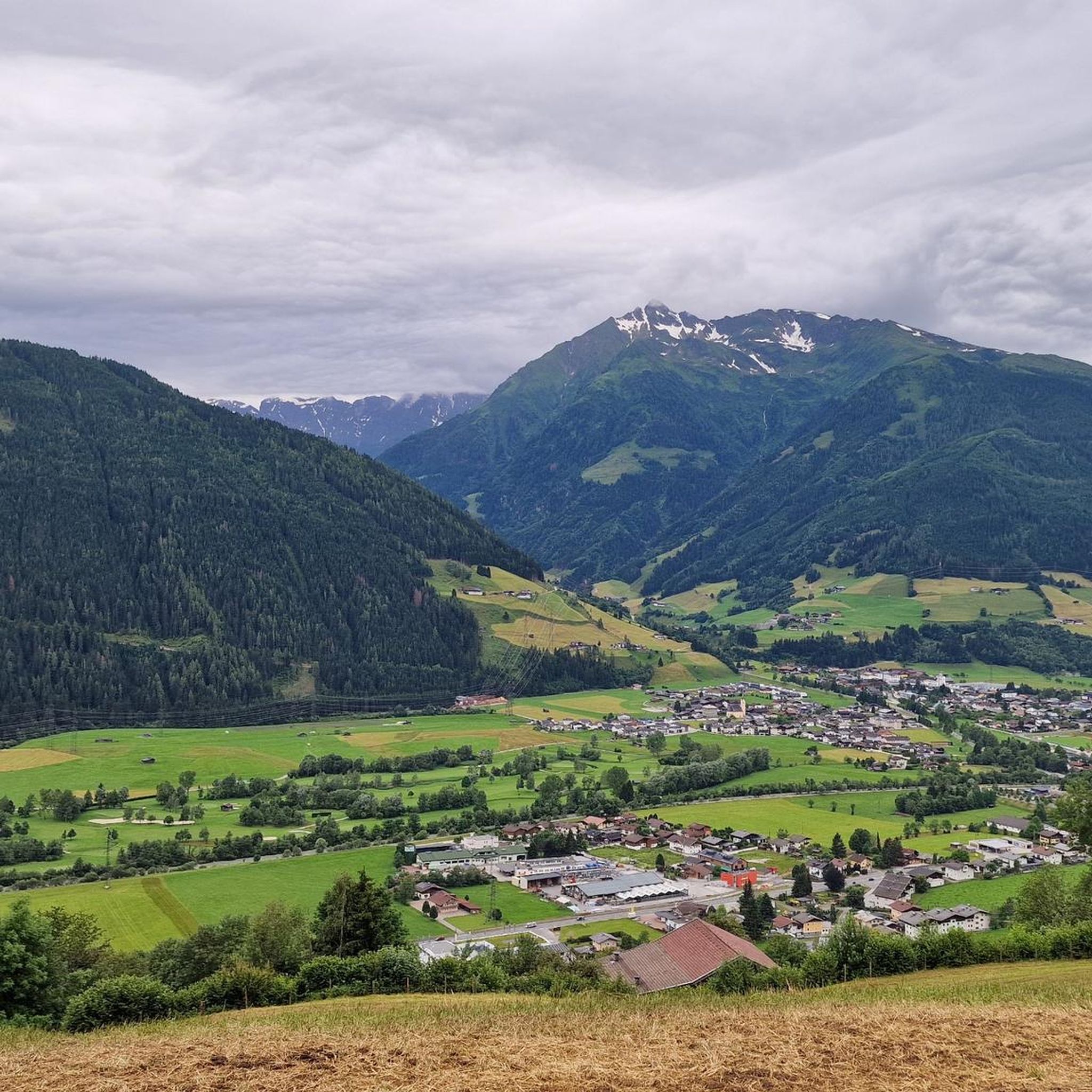
Mountaineering around Stuhlfelden offers diverse landscapes, from gentle alpine pastures to challenging high-altitude routes. The region is situated at the foot of the Kitzbühel Alps and borders the rugged peaks of the Hohe Tauern National Park. Prominent features include the Gaisstein Mountain, a significant "grass mountain" offering panoramic views, and numerous alpine meadows and forests. This varied terrain provides a wide range of experiences for different skill levels.
Best mountaineering routes around Stuhlfelden
- The most popular mountaineering route is Tristkogel…
Last updated: August 18, 2026
29
hikers
14.7km
05:38
870m
870m
Hard mountaineering route. Very good fitness required. Sure-footedness, sturdy shoes and alpine experience required.
4.3
(3)
15
hikers
8.69km
02:35
260m
260m
Moderate mountaineering route. Good fitness required. Easily-accessible paths. Suitable for all skill levels.

Sign up for free
5.0
(2)
7
hikers
6.10km
02:45
600m
590m
Moderate mountaineering route. Good fitness required. Easily-accessible paths. Suitable for all skill levels.
5.0
(1)
12
hikers
12.0km
04:55
880m
870m
Hard mountaineering route. Good fitness required. Sure-footedness, sturdy shoes and alpine experience required.
5.0
(1)
15
hikers
6.62km
02:55
610m
600m
Moderate mountaineering route. Good fitness required. Easily-accessible paths. Suitable for all skill levels.
Get access to more routes and recommendations from other explorers.
Sign up for free
Already have an account?
Our route recommendations are based on thousands of hikes, rides, and runs completed by other people on komoot.
Start today with a free account
Your next adventure awaits.
Login or Signup
Popular around Stuhlfelden
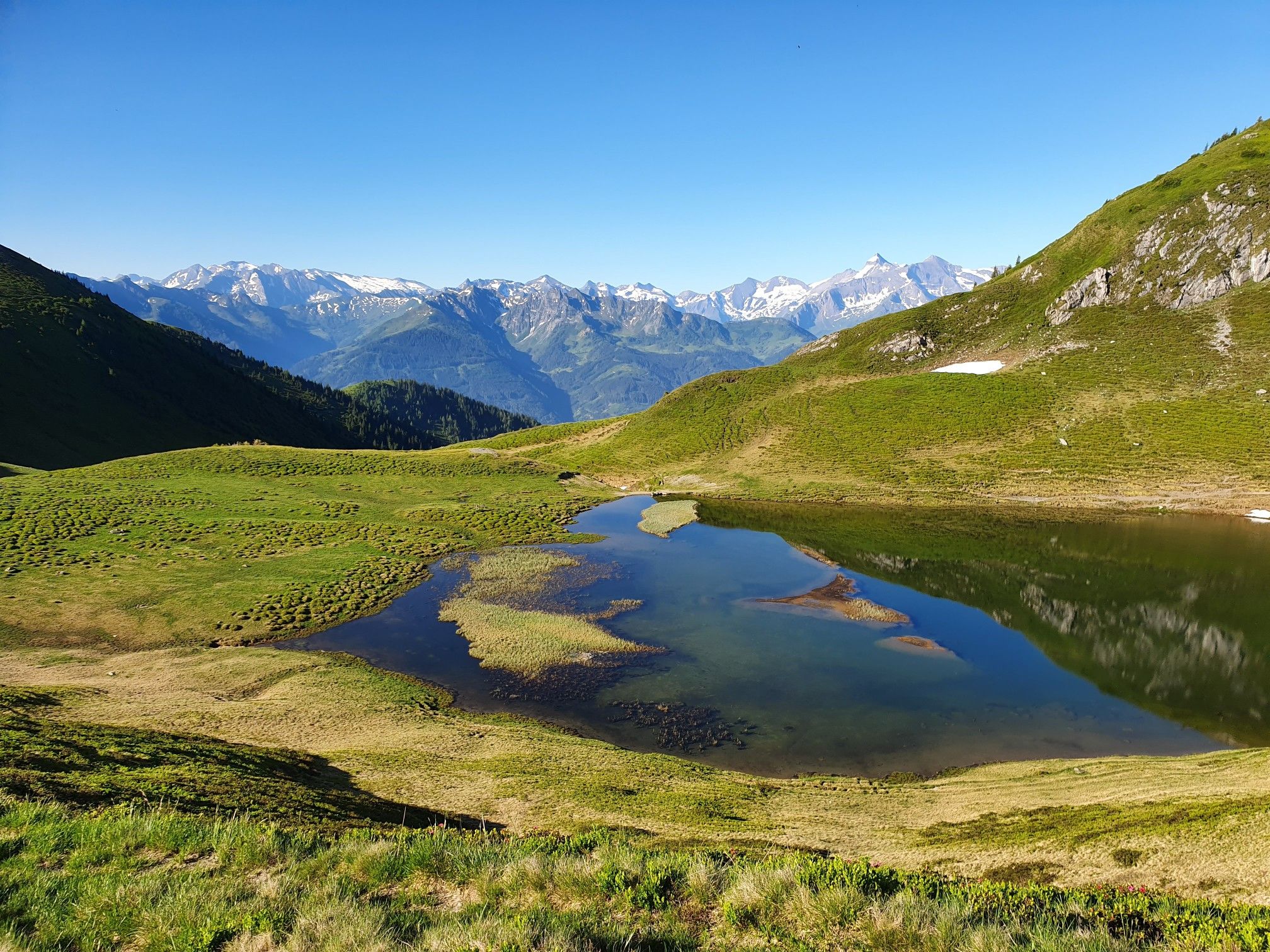
Hohe Tauern Panorama Trail – Face-to-face with 3000-metre peaks
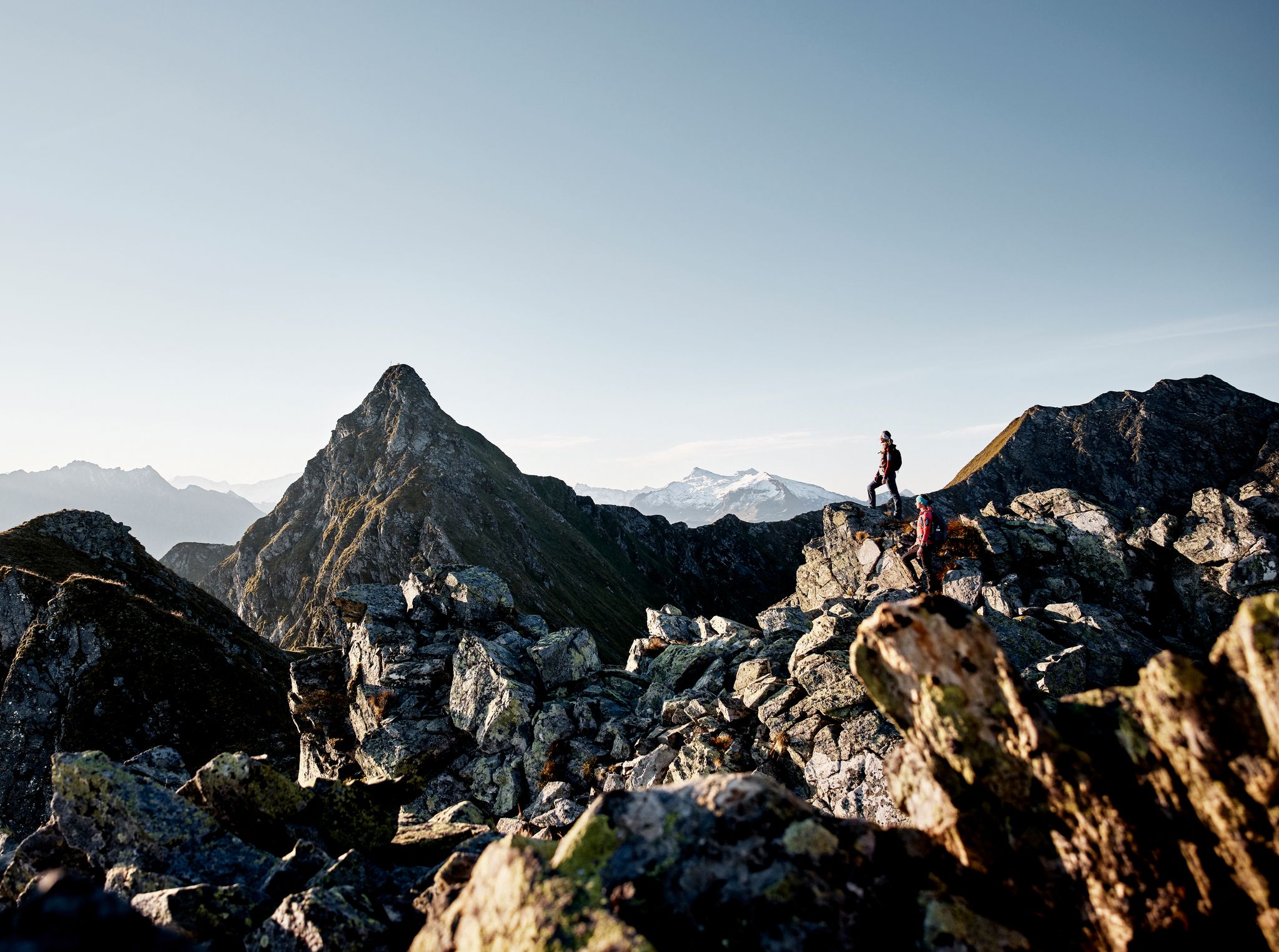
Your adventure is waiting – our ten favourite mountain Tours
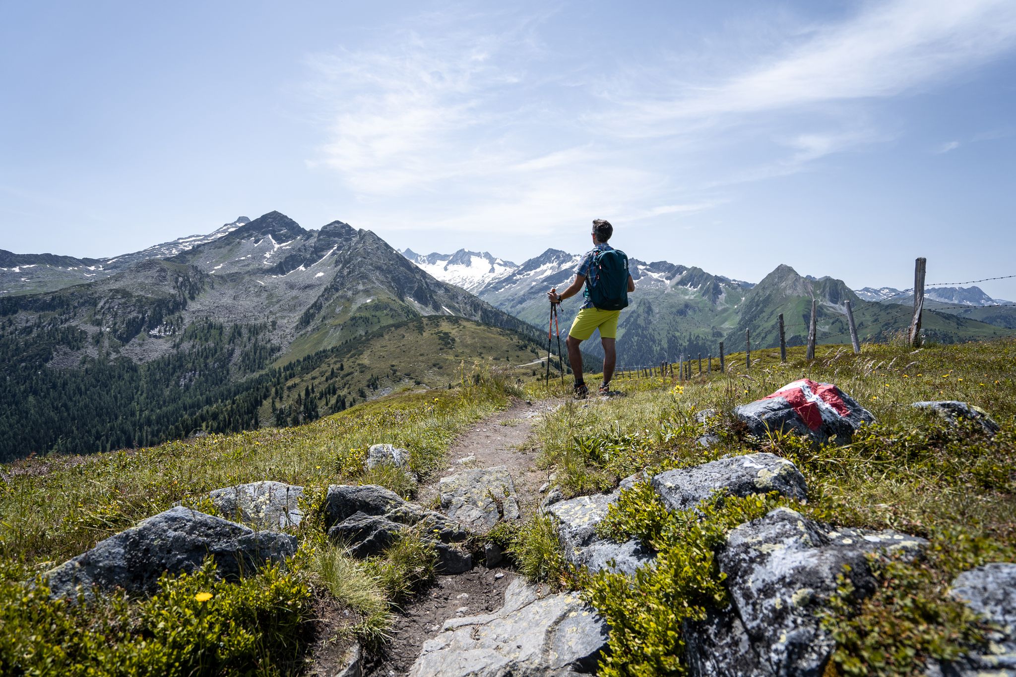
Best views of the highest mountains — Hohe Tauern Panorama Trail
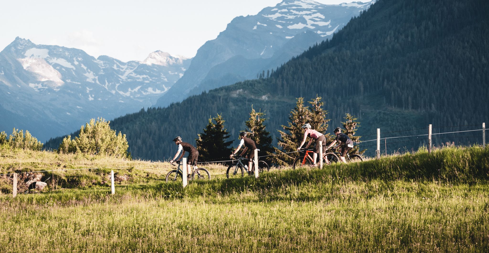
Up it goes – 9 bike Tours in the Gravel Eldorado Mittersill

Gravel biking around Stuhlfelden
Road Cycling Routes around Stuhlfelden
MTB Trails around Stuhlfelden
Hiking around Stuhlfelden
Cycling around Stuhlfelden
Running Trails around Stuhlfelden
Other adventures around Stuhlfelden


Tips from the Community

No problem with waterproof hiking boots or barefoot. Here you can get your feet wet and refresh yourself.
0
0

The chance of seeing the cute little creatures is good.
0
0


Impressive scenery, but easy to reach by car, so you're not alone.
1
0

This hike is one of my top 3 hikes that I have completed in Austria.
1
0
perfect hut for 3 brilliant and incredible hikes.
0
0


The chapel at Sonnwendstein stands picturesquely right next to the summit cross, lending the highest point of the tour a special atmosphere. Surrounded by mountain meadows and offering breathtaking views of the Vienna Basin, the Rax Mountains, and the Schneeberg, it is a tranquil place to pause for a moment. Many hikers use the small chapel for a short rest before starting their return journey or to enjoy the view for a while longer.
1
0
Frequently Asked Questions
How many mountaineering routes are available around Stuhlfelden?
There are nearly 30 mountaineering routes around Stuhlfelden, offering a wide range of experiences from moderate ascents to demanding alpine challenges. The komoot community has explored these routes over 300 times.
Are there any easy mountaineering routes suitable for beginners in Stuhlfelden?
While most routes are moderate to difficult, there is one easy mountaineering route listed. For those new to mountaineering, we recommend starting with a moderate route like the Hintersee (Felbertal) – Gamsblick Snack Station loop from Felbertal, which is 8.7 km long and offers scenic views with a manageable elevation gain.
What are the most challenging mountaineering routes in the Stuhlfelden area?
For experienced mountaineers seeking a challenge, Stuhlfelden offers 16 difficult routes. Notable challenging options include the Tristkogel Summit (2,104 m) – Ossmannalm loop from Lengau, a 14.5 km route with significant elevation gain, and the Staffkogel Summit Cross – Ossmannalm loop from Jochberg, which covers 14.1 km through alpine terrain.
Are there any circular mountaineering routes around Stuhlfelden?
Yes, many of the mountaineering routes around Stuhlfelden are circular. For example, the Marmots on the Ascent – Gaisstein Summit loop from Bürglhütte offers a rewarding circular experience to the prominent Gaisstein Mountain. Another option is the Tristkogel Summit (2,104 m) – Torsee (Hochtorsee) loop from Hinterglemm Lindlingalm.
What kind of views can I expect on mountaineering routes in Stuhlfelden?
Mountaineering in Stuhlfelden offers spectacular panoramic views. From peaks like the Gaisstein, you can often see the majestic Glockner Group. The region is characterized by the gentle grassy mountains of the Kitzbühel Alps and the rugged peaks of the Hohe Tauern National Park, providing diverse and breathtaking vistas.
Are there any specific landmarks or points of interest along the mountaineering routes?
Yes, the routes often pass by or lead to significant points. You might encounter various summit crosses such as the Schattberg West Summit Cross or the Reiterkogel Summit Cross. The Bochumer Hut is also a popular mountain house that can serve as a rest stop or starting point for some tours.
What do other mountaineers say about the routes in Stuhlfelden?
The mountaineering routes in Stuhlfelden are highly regarded by the komoot community, holding an average rating of 4.7 out of 5 stars from over 30 reviews. Mountaineers frequently praise the diverse landscapes, from gentle alpine pastures to challenging high-altitude routes, and the stunning panoramic views.
What is the best time of year for mountaineering in Stuhlfelden?
The region offers diverse experiences throughout the year. While specific conditions vary, the summer and early autumn months generally provide the most favorable weather for exploring the alpine meadows and higher-altitude routes. Always check local weather and trail conditions before heading out.
Are there any routes that are particularly good for spotting wildlife?
The Marmots on the Ascent – Gaisstein Summit loop from Bürglhütte is named for the marmots often seen in the area, offering a good chance to observe these alpine creatures. The diverse alpine ecology of the Hohe Tauern National Park region also means opportunities to spot various other wildlife.
Can I access mountaineering trailheads in Stuhlfelden using public transport?
Stuhlfelden is situated in a region with various access points. While specific public transport options to every trailhead may vary, many areas within the Hohe Tauern National Park region are accessible by bus services. It's advisable to research local bus schedules to specific starting points for your chosen route.
What kind of terrain can I expect on the mountaineering routes?
The terrain around Stuhlfelden is highly varied. You'll find gentle grassy mountains of the Kitzbühel Alps, rugged peaks of the Hohe Tauern National Park, and expansive alpine meadows. Some routes, especially those to higher summits like the Gaisstein, may involve pathless sections and require sure-footedness.
Most popular routes around Stuhlfelden
Most popular attractions around Stuhlfelden

Get inspired with the komoot mobile app


Explore more
Browse the best Mountain Hikes & Routes in other regions.
