The best mountain hikes around Hollersbach im Pinzgau
4.9
(84)
1,344
hikers
32
hikes
Mountaineering routes around Hollersbach im Pinzgau are situated within Austria's Hohe Tauern National Park, offering direct access to a diverse alpine landscape. The region is characterized by the Kitzbühel Alps and the majestic Hohe Tauern National Park, providing a dramatic backdrop of peaks and valleys. Notable summits include the Großvenediger and the Pihapper (2,518 m), alongside the Larmkogel (3,022 m) and Frühmesser (2,233 m). The Hollersbachtal Valley is a prominent feature, known for its natural beauty.
Best mountaineering routes around Hollersbach im Pinzgau
- The most popular mountaineering route is Großvenediger Summit Ridge – Großvenediger Summit loop from Neue Prager Hütte, a 6.0 miles (9.7 km) difficult trail that takes 6 hours 52 minutes to complete. This route offers a challenging high-alpine experience to the summit ridge.
- Another top favourite among local mountaineers is Auge Gottes Pond – Salzbodensee loop from Innergschlöß, a moderate 6.9 miles (11.1 km) path. This loop explores scenic ponds and alpine landscapes.
- Local mountaineers also love the Pflugsberg (2410 m) – Pihapper Summit loop from Hollersbach im Pinzgau, an 8.1 miles (13.1 km) trail leading through high alpine terrain to the Pihapper Summit, often completed in about 6 hours 45 minutes.
- Mountaineering around Hollersbach im Pinzgau is defined by the majestic Kitzbühel Alps, the Hohe Tauern National Park, and numerous alpine peaks. The network offers options for easy, moderate, and difficult ability levels.
- The routes in Hollersbach im Pinzgau are highly rated by the komoot community with an average score of 4.8 stars from more than 100 reviews. More than 1,600 mountaineers have used komoot to explore Hollersbach im Pinzgau's varied terrain.
Last updated: July 8, 2026
5.0
(2)
77
hikers
Hard mountaineering route. Very good fitness required. Sure-footedness, sturdy shoes and alpine experience required.
5.0
(5)
41
hikers
11.0km
04:50
790m
790m
Moderate mountaineering route. Good fitness required. Mostly accessible paths. Sure-footedness required.

Sign up for free
4.6
(5)
27
hikers
10.6km
04:56
1,090m
1,070m
Hard mountaineering route. Very good fitness required. Easily-accessible paths. Suitable for all skill levels.
5.0
(1)
18
hikers
Moderate mountaineering route. Good fitness required. Mostly accessible paths. Sure-footedness required.
4.3
(3)
17
hikers
8.69km
02:35
260m
260m
Moderate mountaineering route. Good fitness required. Easily-accessible paths. Suitable for all skill levels.
Get access to more routes and recommendations from other explorers.
Sign up for free
Already have an account?
Our route recommendations are based on thousands of hikes, rides, and runs completed by other people on komoot.
Start today with a free account
Your next adventure awaits.
Login or Signup
Popular around Hollersbach im Pinzgau
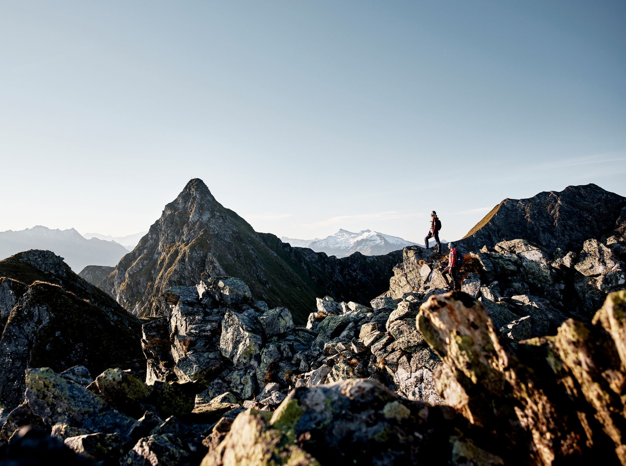
Your adventure is waiting – our ten favourite mountain Tours
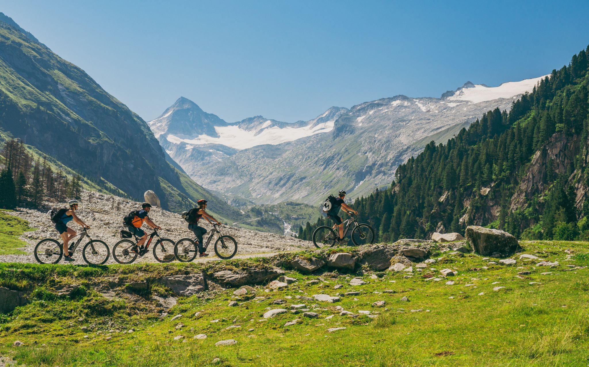
Ride to the alpine pastures in Austria's Hohe Tauern National Park Region
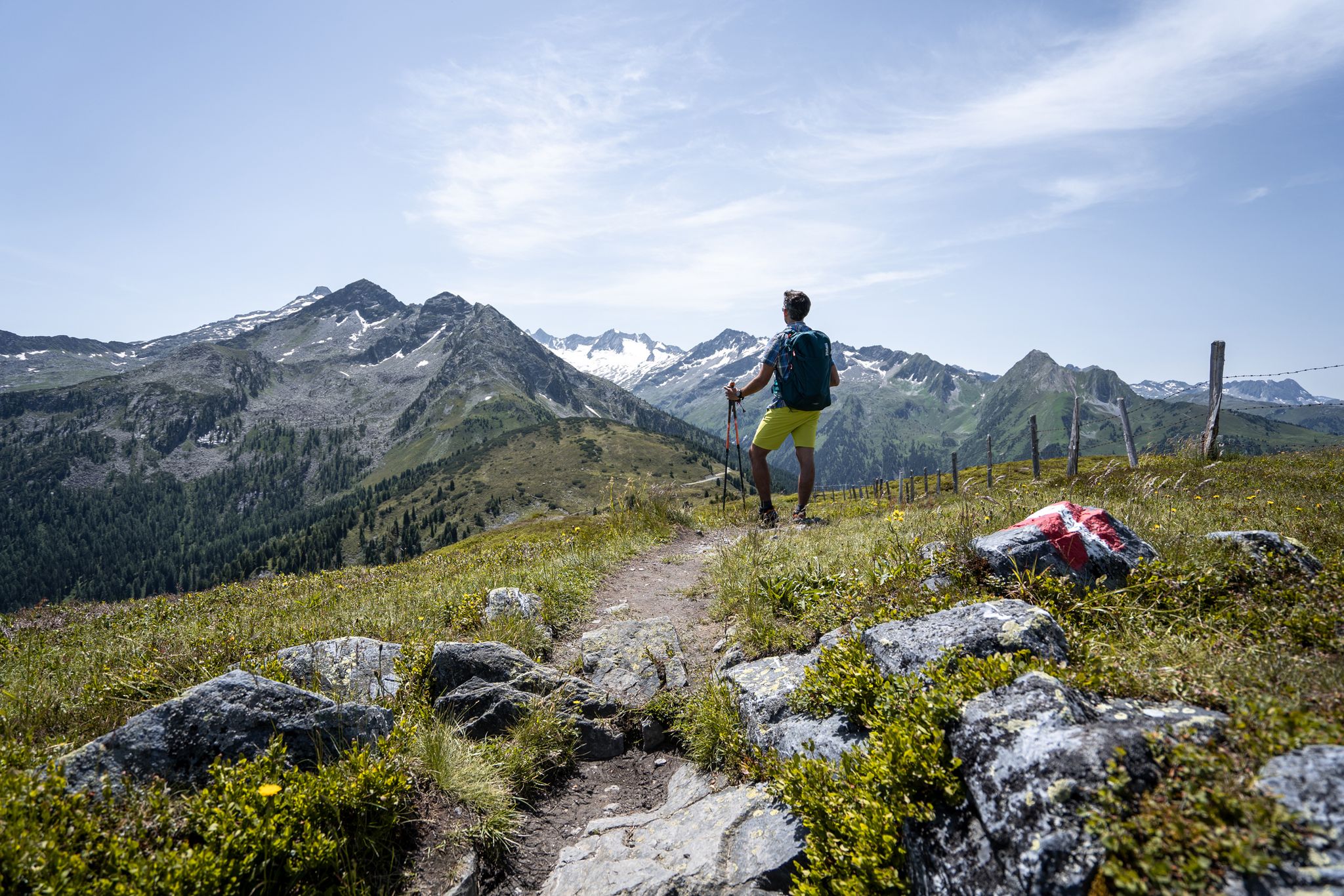
Best views of the highest mountains — Hohe Tauern Panorama Trail
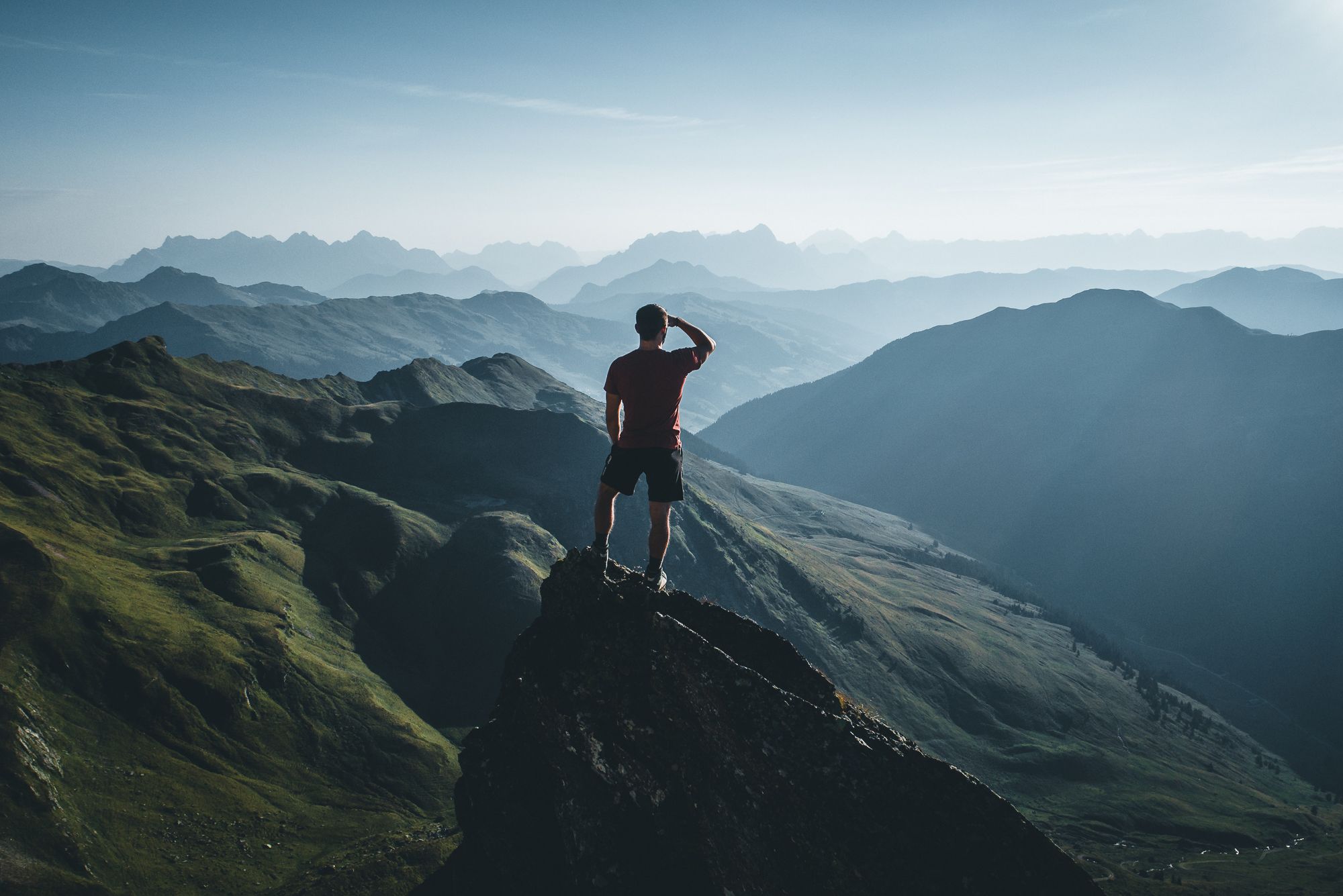
On a voyage of discovery in Austria’s High Tauern National Park
Gravel biking around Hollersbach im Pinzgau
Hiking around Hollersbach im Pinzgau
MTB Trails around Hollersbach im Pinzgau
Road Cycling Routes around Hollersbach im Pinzgau
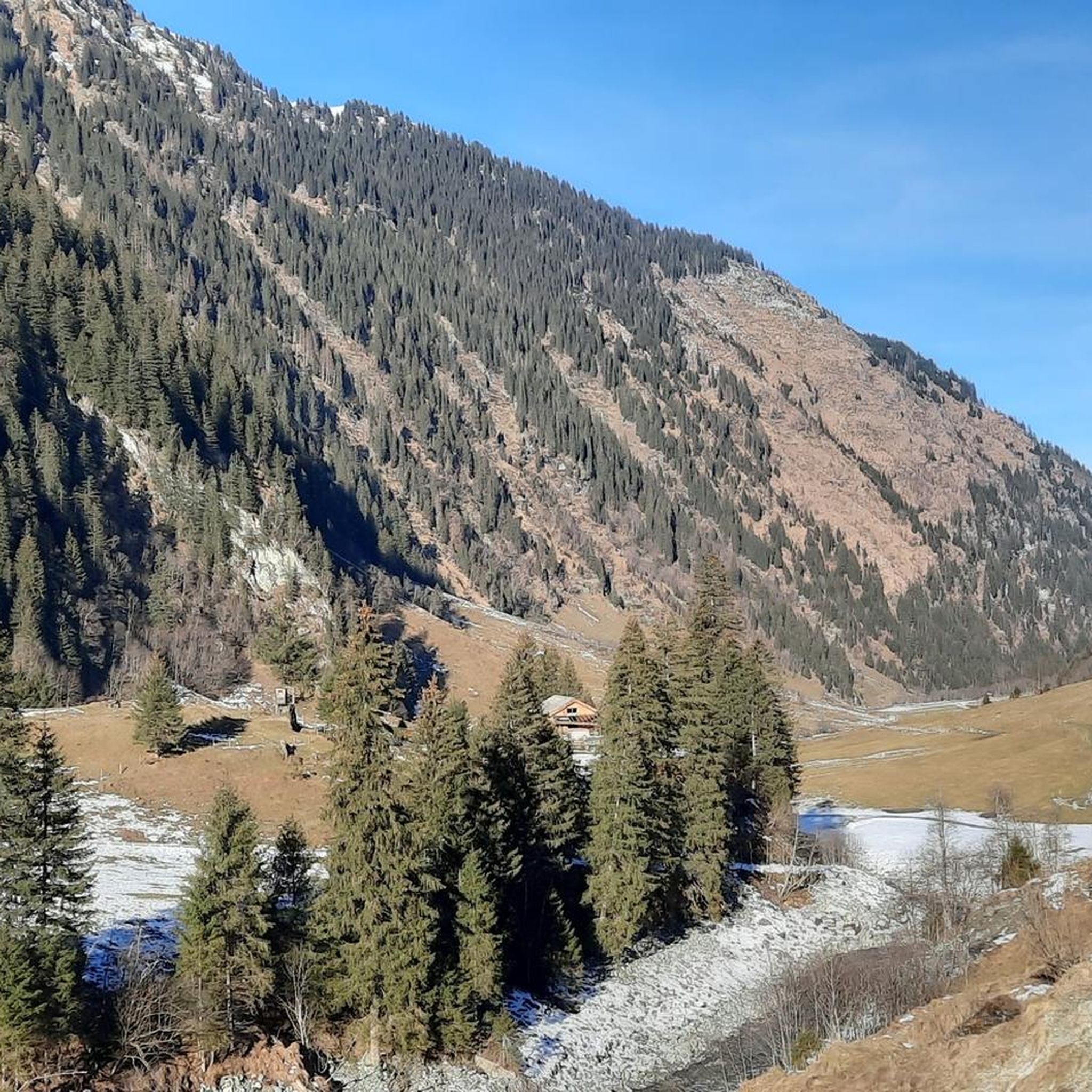
Cycling around Hollersbach im Pinzgau
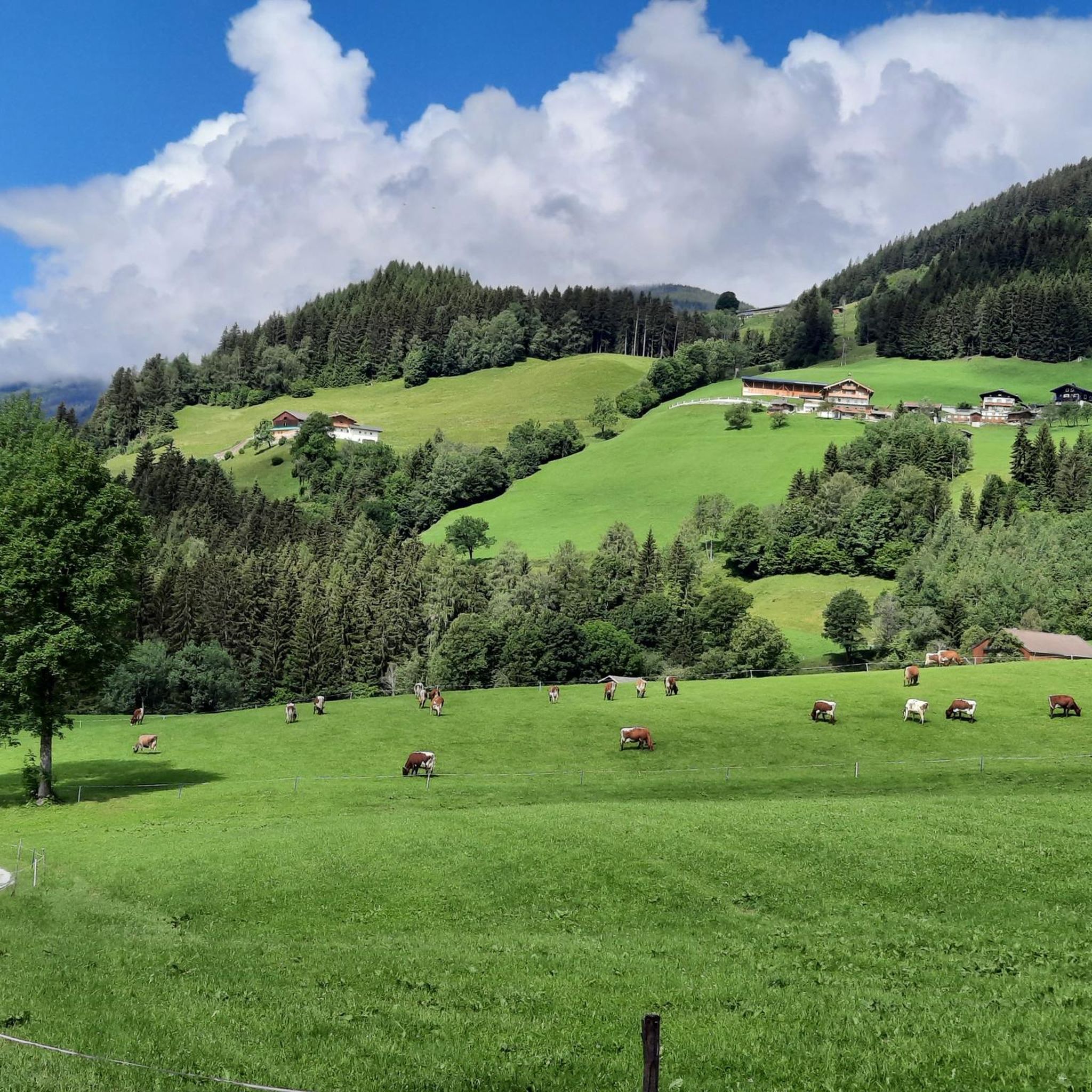
Running Trails around Hollersbach im Pinzgau
Other adventures around Hollersbach im Pinzgau


Tips from the Community

What great colors you can see here on the rocks. Very worth seeing
0
0
steep ascent - which is worth it. To the lake "Auge Gottes" and the glacier circular trail. Breathtaking nature directly in the core zone of the Hohe Tauern. Highly recommended
0
0
steep descent, sure-footedness required, marmots live there
0
0
beautiful paths along the riverbed
0
0

Great summit ridge with a beautiful view. Caution is advised, but with appropriate snow conditions, you can even walk it with splitboards up to just below the cross.
0
0


Impressive scenery, but easy to reach by car, so you're not alone.
1
0

Super good hut with good prices and delicious food
0
0
Frequently Asked Questions
How many mountaineering routes are available around Hollersbach im Pinzgau?
There are over 35 mountaineering routes around Hollersbach im Pinzgau, offering a wide range of experiences. This includes 1 easy route, 15 moderate routes, and 21 difficult routes, catering to various skill levels.
Are there any circular mountaineering routes in the area?
Yes, several routes are designed as loops. For a challenging high-alpine experience, consider the Großvenediger Summit Ridge – Großvenediger Summit loop from Neue Prager Hütte. Another option is the moderate Auge Gottes Pond – Salzbodensee loop from Innergschlöß, which explores scenic ponds and alpine landscapes.
What kind of views or natural landmarks can I expect along the mountaineering routes?
The region is rich in natural beauty. You can expect dramatic views of the Kitzbühel Alps and the Hohe Tauern National Park. Notable landmarks include the majestic Großvenediger Summit, the Wildkogel Summit Cross, and the serene Hollersbachtal Valley. Some routes also pass by beautiful waterfalls, such as the Sintersbacher Waterfall.
Are there any routes suitable for beginners or those looking for an easier mountaineering experience?
While many routes are moderate to difficult, there is at least one easy mountaineering route available. These easier options are perfect for those new to mountaineering or looking for a less strenuous day in the mountains.
What do other mountaineers say about the routes in Hollersbach im Pinzgau?
The mountaineering routes in Hollersbach im Pinzgau are highly regarded by the komoot community, with an average rating of 4.8 stars from over 120 reviews. Mountaineers often praise the diverse alpine landscape, the challenging ascents, and the stunning panoramic views.
Are there any routes that lead to prominent summits?
Absolutely. For experienced mountaineers, the Pflugsberg (2410 m) – Pihapper Summit loop from Hollersbach im Pinzgau offers a challenging ascent to the Pihapper Summit. Another demanding option is the Neue Fürther Hut – Larmkogel Summit (3,022 m) loop from Neue Fürther Hütte, leading to the Larmkogel Summit.
Can I find routes that pass by mountain huts for refreshments or overnight stays?
Yes, some mountaineering routes incorporate mountain huts. For instance, the Gasthof Alpenrose – Moaalm Alpine Hut loop from Habachtal includes the Moaalm Alpine Hut, providing an opportunity for a break or a meal amidst your trek.
What is the typical duration for a mountaineering tour in this region?
The duration of mountaineering tours varies significantly based on difficulty and distance. Difficult routes like the Großvenediger Summit Ridge loop can take nearly 7 hours, while moderate loops such as the Auge Gottes Pond can be completed in around 5 hours. It's essential to check the estimated duration for each specific route.
Are there any educational trails or easier outdoor experiences near Hollersbach im Pinzgau?
Beyond challenging mountaineering, Hollersbach offers gentler outdoor experiences. You can explore educational paths like the 'Bachlehrweg' (stream educational trail) and a bee nature trail, which provide insights into the local nature and wildlife without requiring extensive alpine experience.
What are some other points of interest or attractions to explore in the Hollersbach im Pinzgau area?
Besides the mountaineering routes, the region offers various attractions. You can visit the National Park Center Mittersill for an immersive experience into the Hohe Tauern National Park's ecosystems. For those interested in cultural landmarks, the Rock Chapel of the Nativity of Mary (Gschlöß Valley) is a notable highlight.
What is the best time of year for mountaineering in Hollersbach im Pinzgau?
The best time for mountaineering in Hollersbach im Pinzgau is typically during the warmer months, from late spring to early autumn, when trails are clear of snow and weather conditions are more stable. However, alpine conditions can change rapidly, so always check local forecasts before heading out.
Most popular routes around Hollersbach im Pinzgau
Most popular attractions around Hollersbach im Pinzgau

Get inspired with the komoot mobile app


Explore more
Browse the best Mountain Hikes & Routes in other regions.
