The best mountain hikes around Dorfgastein
4.7
(73)
820
hikers
65
hikes
Mountaineering around Dorfgastein offers routes through the Gastein Valley, characterized by its alpine peaks, forested slopes, and high-altitude meadows. The region features a diverse landscape, from challenging rocky ascents to more gradual trails through mountain pastures. Elevations vary significantly, providing a range of experiences for different skill levels. The area is well-suited for exploring the natural environment of the Austrian Alps.
Best mountaineering routes around Dorfgastein
- The most popular mountaineering route is Aukopf Summit – Schuhflicker Peak loop from Dorfgastein…
Last updated: October 11, 2026
5.0
(8)
45
hikers
13.0km
07:20
1,340m
1,340m
Hard mountaineering route. Very good fitness required. Sure-footedness, sturdy shoes and alpine experience required.
4.7
(3)
16
hikers
9.66km
05:42
1,090m
1,090m
Hard mountaineering route. Very good fitness required. Mostly accessible paths. Sure-footedness required.

5.0
(1)
11
hikers
15.2km
07:02
1,230m
1,240m
Hard mountaineering route. Very good fitness required. Sure-footedness, sturdy shoes and alpine experience required.
5.0
(2)
19
hikers
Hard mountaineering route. Very good fitness required. Sure-footedness, sturdy shoes and alpine experience required.
17
hikers
17.7km
07:06
1,140m
1,140m
Hard mountaineering route. Very good fitness required. Sure-footedness, sturdy shoes and alpine experience required.
Get access to more routes and recommendations from other explorers.
Already have an account?
Our route recommendations are based on thousands of hikes, rides, and runs completed by other people on komoot.
Start today with a free account
Your next adventure awaits.
Popular around Dorfgastein
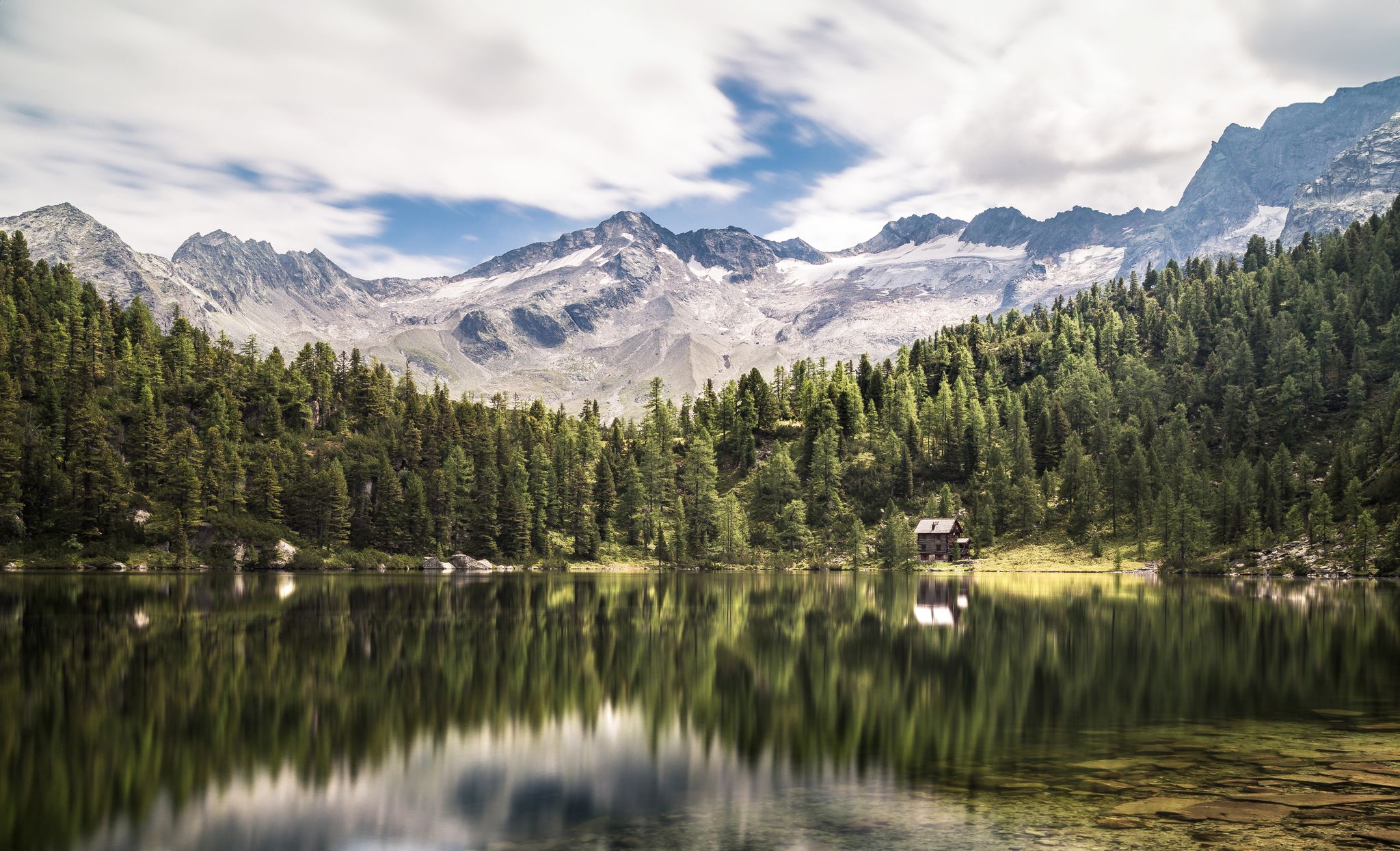
Summer trails in Gastein – four dreamy mountain lake Tours
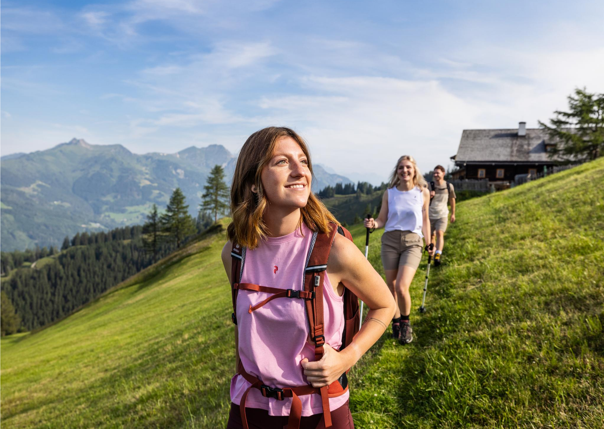
Salzburg’s most beautiful sides – 25 stages on the Salzburger Almenweg
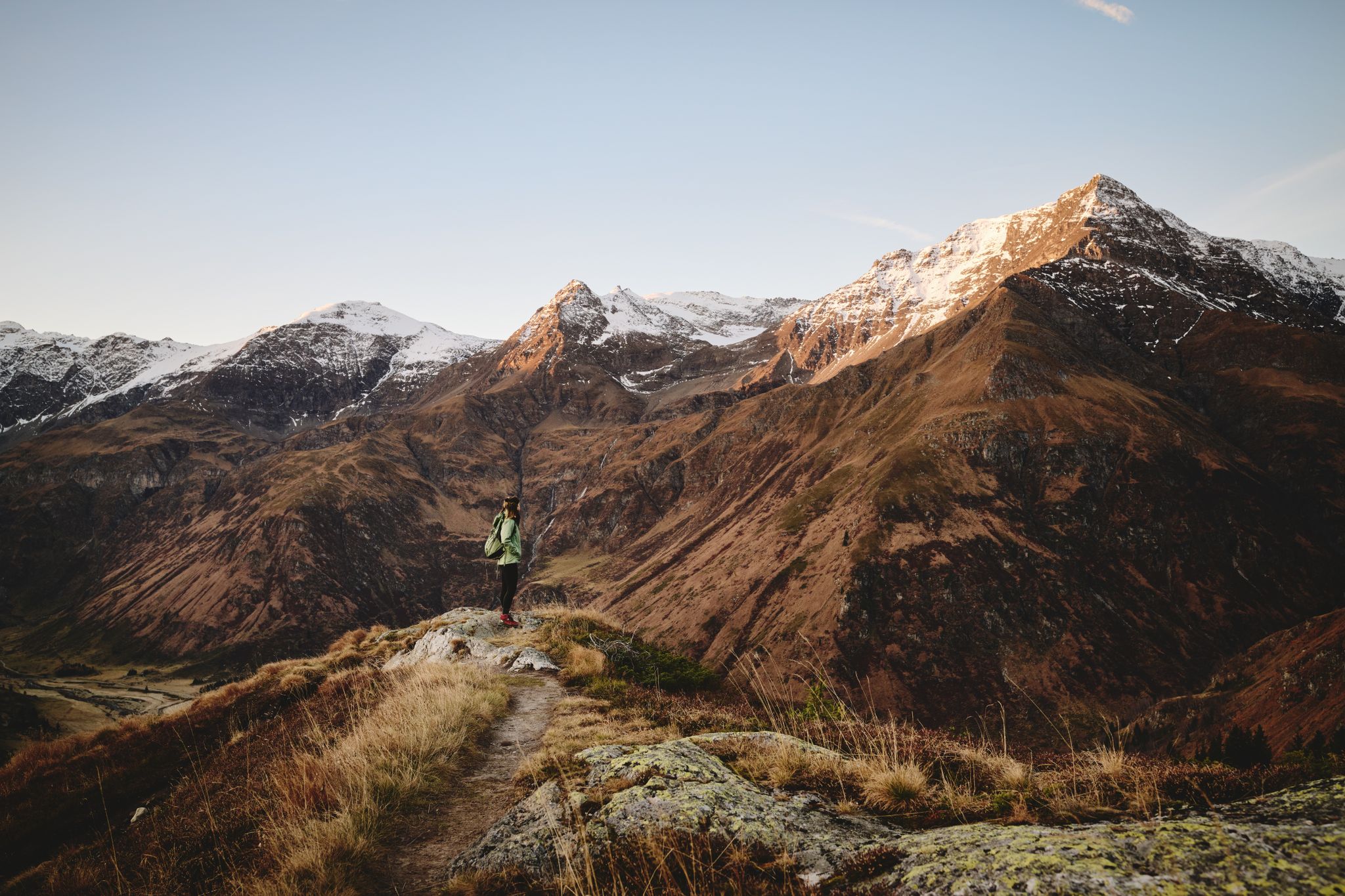
Higher, faster, further – ambitious day hikes in the Gastein Valley
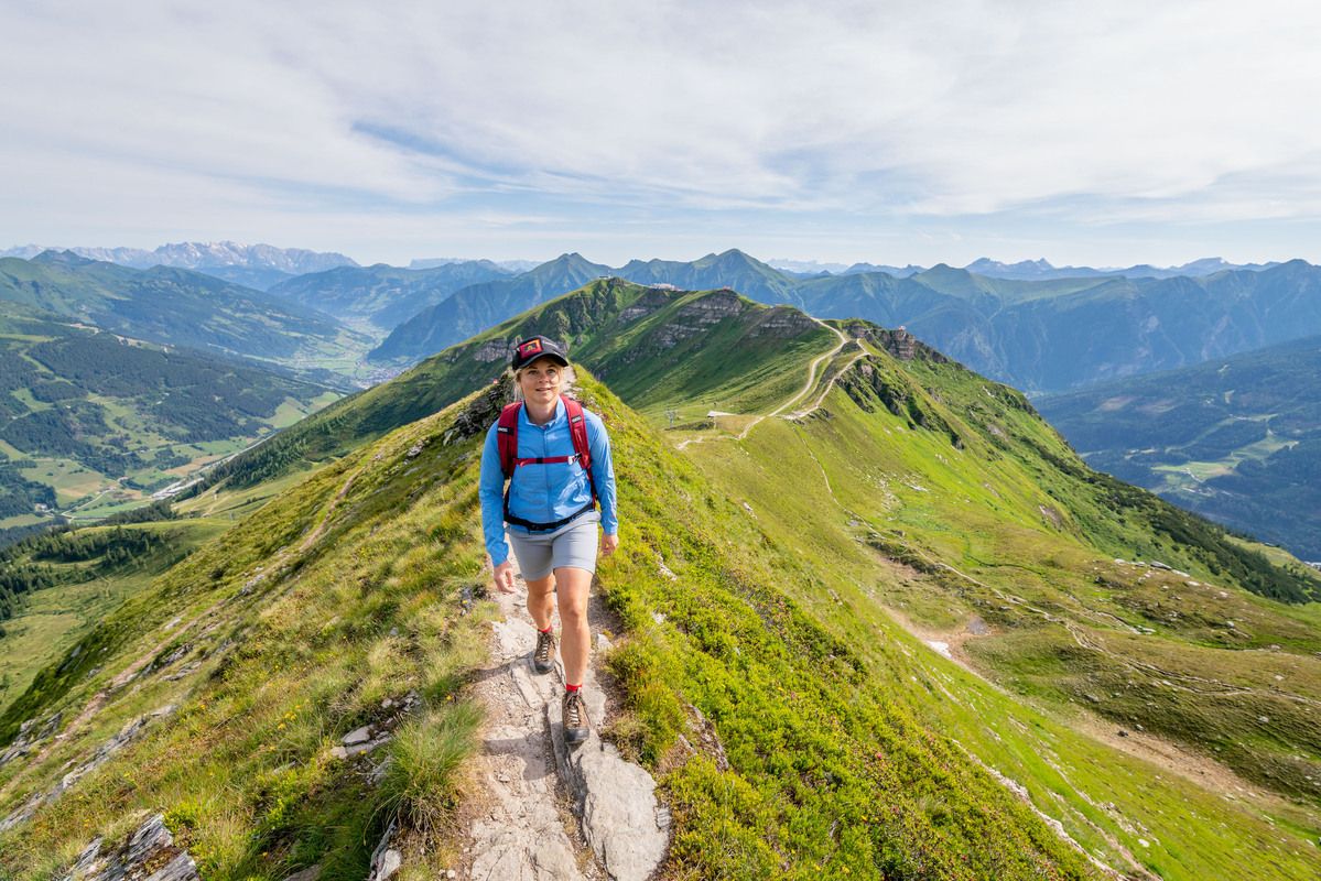
Gastein Trail – mountain hut trail in the province of Salzburg
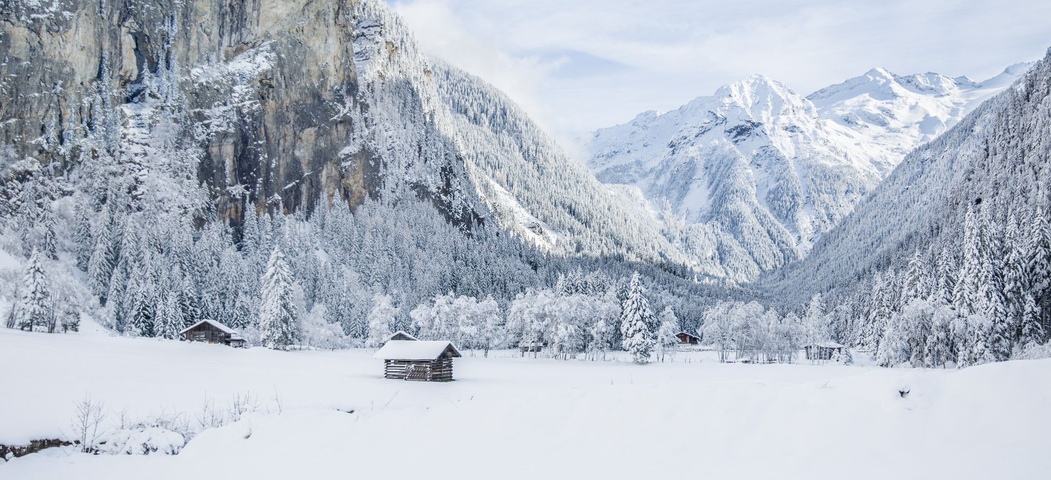
Take the train directly to snowy landscapes – winter hiking around Gastein
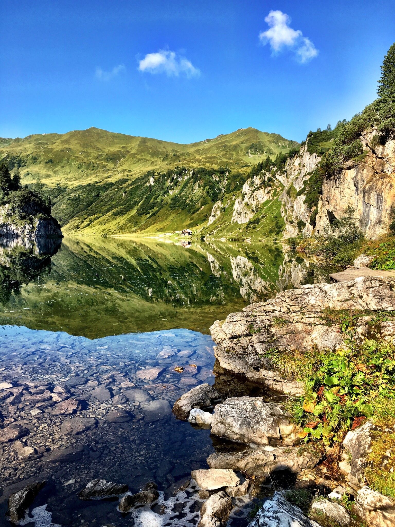
A glistening mountain world: 7 beautiful lakes around Salzburg
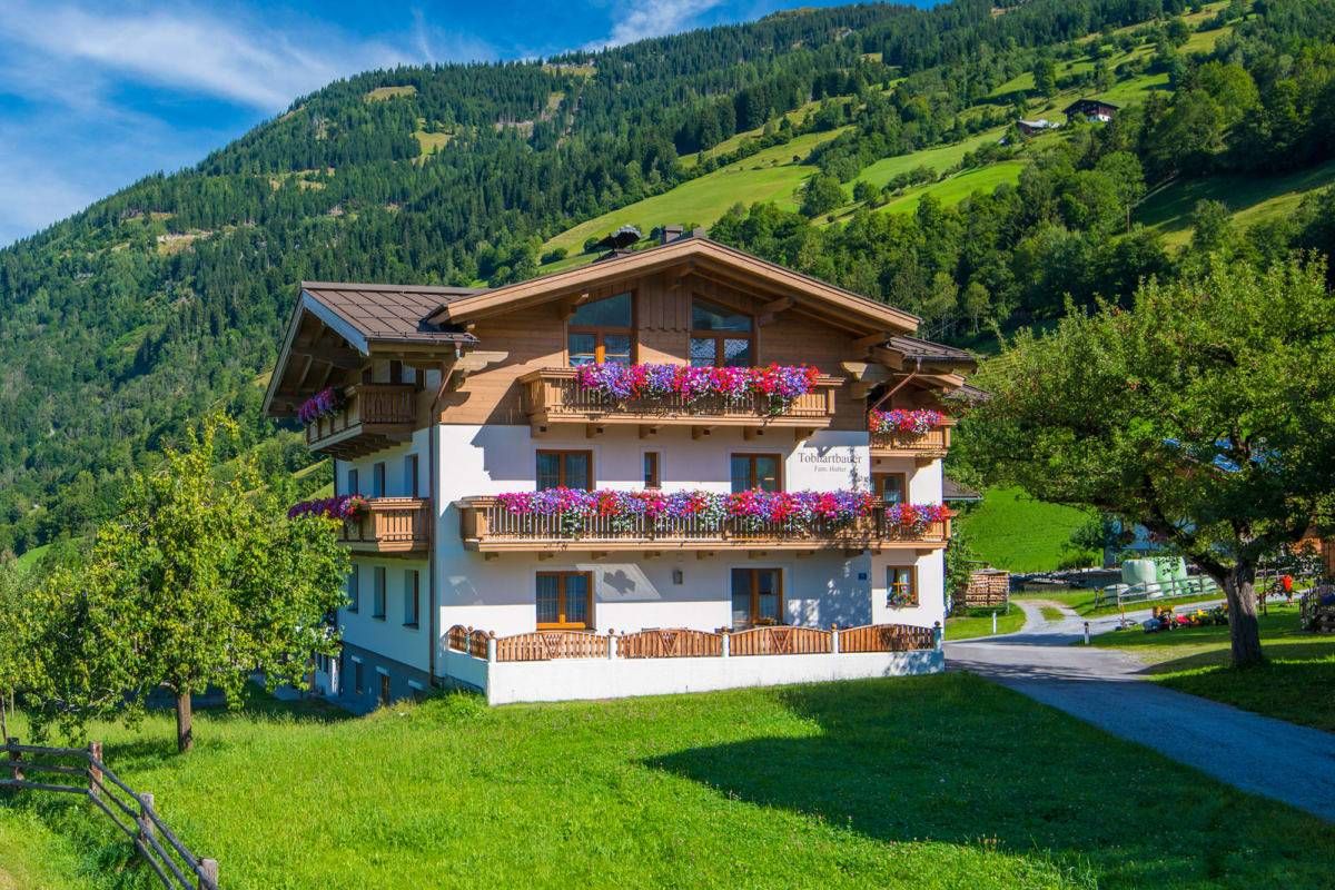
Sun, mountains, bathing fun – an active vacation on Austria's Farms
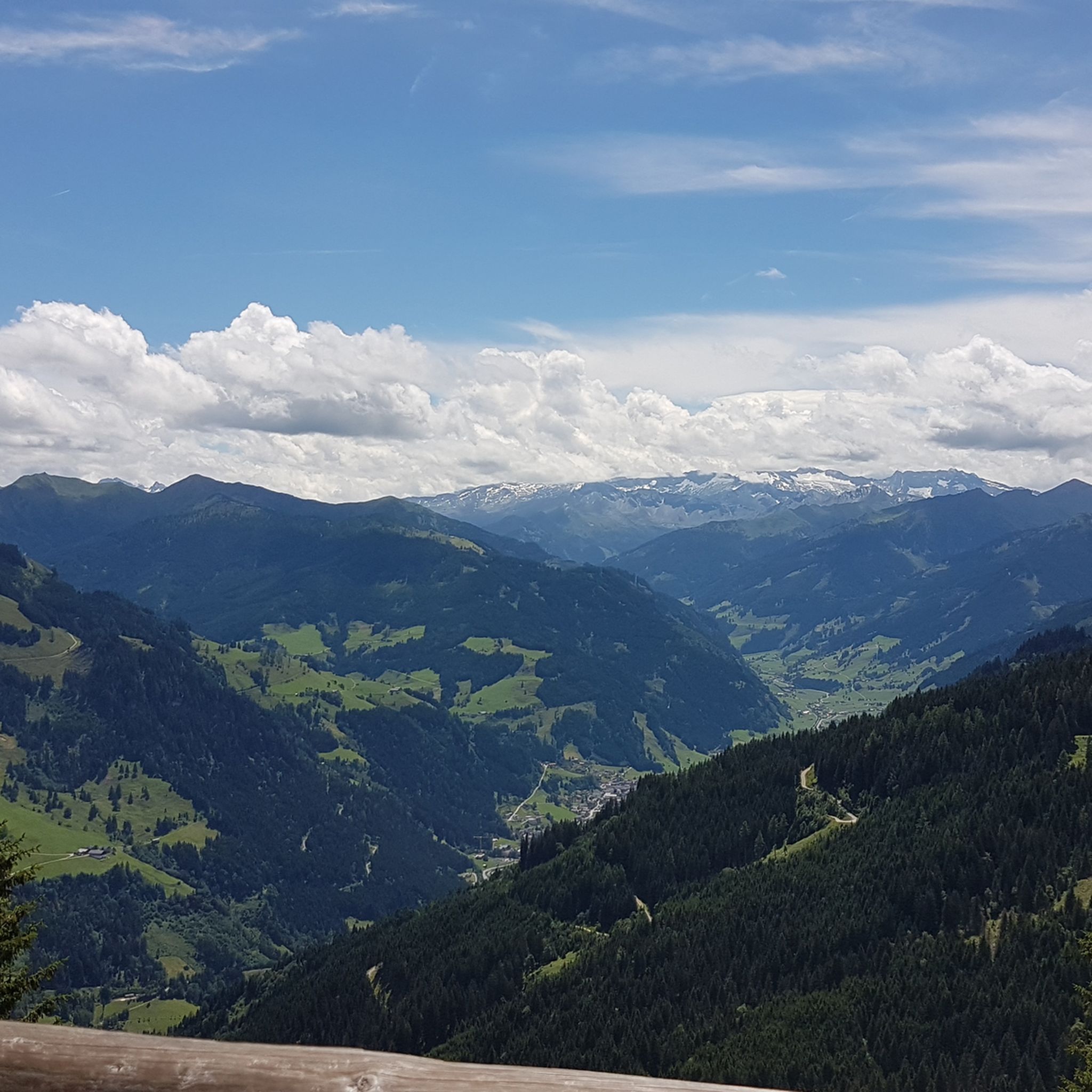
Hiking around Dorfgastein
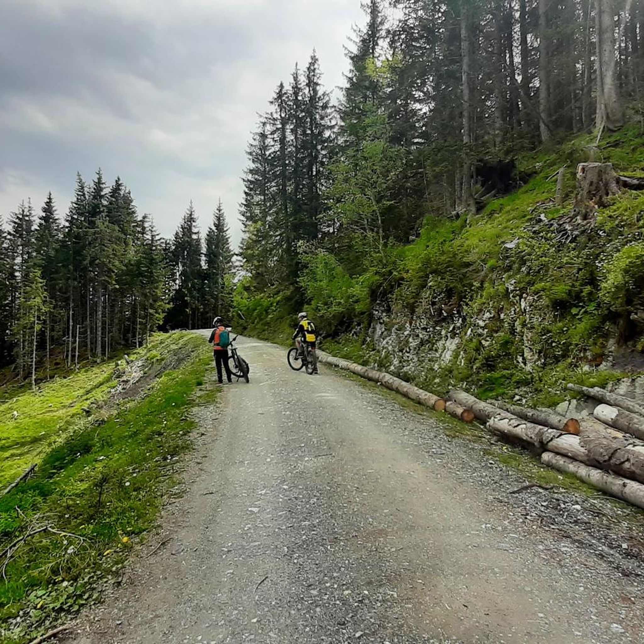
Road Cycling Routes around Dorfgastein
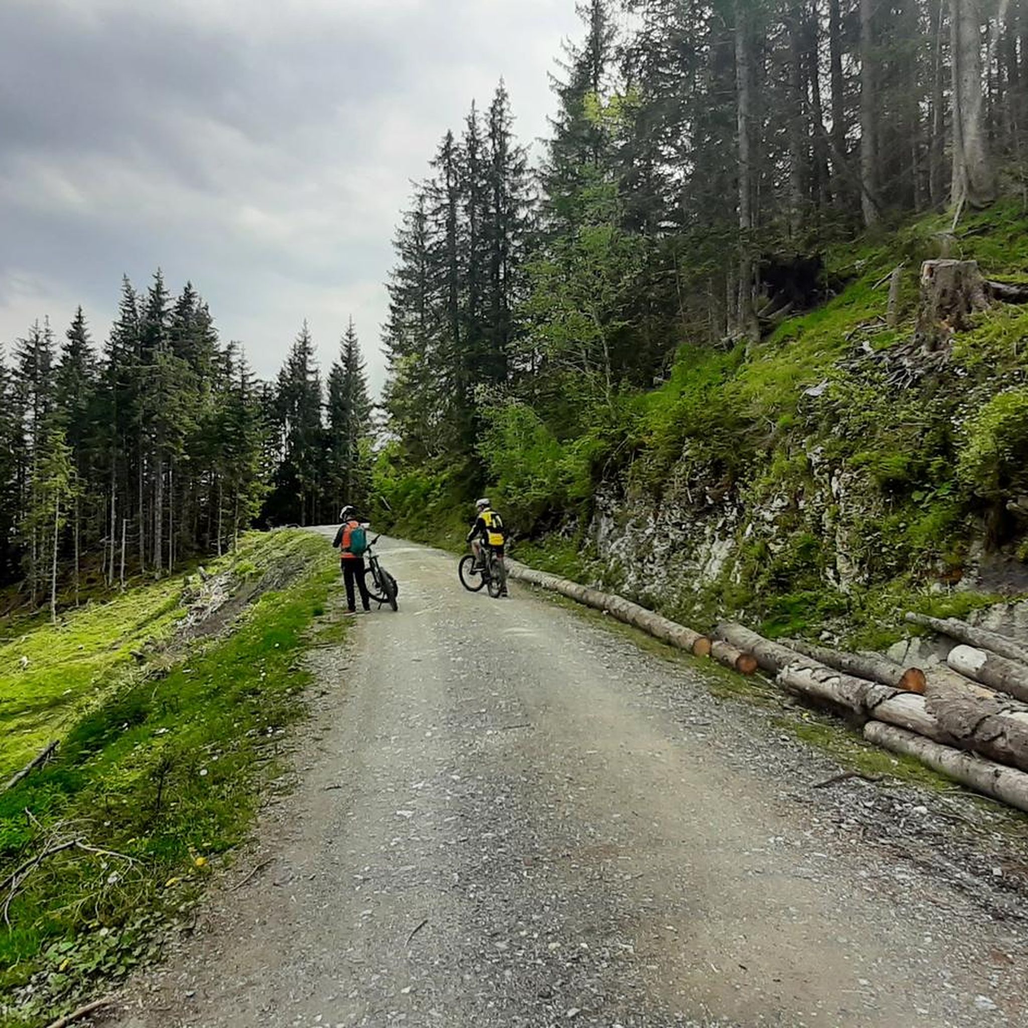
Cycling around Dorfgastein
Other adventures around Dorfgastein


Tips from the Community


Surefootedness and a head for heights are required.
1
0

Great place for a break and to enjoy one of the canderli soups
6
0

Highest point with a fantastic panoramic view. Many paragliders take off from here in the summer. There's a beautiful viewing point in front of the terrace.
0
0

dreamlike panorama, wonderful ski touring mountain, but hut not open in winter
0
0

The Countess' Seat with a fantastic view while resting.
5
0

in clear weather great view into the Arlbach valley
0
0
wonderful place to watch the sunrise or sunset
0
0
Frequently Asked Questions
How many mountaineering routes are available in Dorfgastein?
Dorfgastein offers a wide selection of mountaineering routes, with over 80 different tours to explore. These routes cater to various skill levels, from moderate ascents to more advanced trails.
What is the overall difficulty level of mountaineering routes in Dorfgastein?
The mountaineering routes in Dorfgastein are predominantly challenging, with 50 routes classified as difficult and 30 as moderate. There is also one easy route available, ensuring options for different experience levels.
Are there any easy mountaineering routes suitable for beginners in Dorfgastein?
While many routes in Dorfgastein are challenging, there is at least one easy mountaineering route available. For those new to mountaineering, it's advisable to start with moderate trails and gradually increase difficulty. The region's diverse terrain offers options for all skill levels.
Where can I find more challenging mountaineering routes in Dorfgastein?
For experienced mountaineers seeking a challenge, Dorfgastein offers numerous difficult routes. Consider the Waller Chapel – Rauchkögerl Summit loop from Unterberg, a demanding 8.2-mile (13.2 km) tour with significant elevation gain, offering rewarding views.
Are there circular mountaineering routes in Dorfgastein?
Yes, many mountaineering routes in Dorfgastein are designed as loops, allowing you to start and finish at the same point. An example is the Steiner Hochalm loop from Dorfgastein, a moderate 5.2-mile (8.4 km) tour that takes you through beautiful alpine scenery.
Can I find mountaineering routes that pass by mountain huts or places to eat in Dorfgastein?
Absolutely. The Gastein Valley is dotted with traditional mountain huts where you can rest and enjoy local refreshments. Routes often pass by places like Ellmau Alm or Aualm, offering a perfect break during your tour.
What kind of natural landmarks or points of interest can I see along the mountaineering routes in Dorfgastein?
Mountaineering in Dorfgastein offers stunning views of prominent peaks and natural features. You might encounter summits like Fulseck Summit or Kreuzkogel Summit, and experience the scenic Gastein High Trail.
What is the best time of year for mountaineering in Dorfgastein?
The prime season for mountaineering in Dorfgastein typically runs from late spring (June) through early autumn (September/October). During these months, trails are generally free of snow, and the weather is more stable, offering ideal conditions for high-altitude exploration.
Is public transport available to reach mountaineering trailheads in Dorfgastein?
Yes, the Gastein Valley has a well-developed public transport network, including bus services, that can take you to various starting points for mountaineering routes. It's advisable to check local bus schedules for specific trailhead access.
Are there parking facilities at the trailheads for mountaineering routes in Dorfgastein?
Many popular trailheads in and around Dorfgastein offer designated parking areas, though some may require a fee. It's recommended to arrive early, especially during peak season, to secure a spot.
Can I bring my dog on mountaineering routes in Dorfgastein?
Generally, dogs are welcome on most mountaineering routes in Dorfgastein, provided they are kept on a leash, especially in areas with livestock or wildlife. Always ensure your dog is fit for the terrain and carry enough water for both of you.
What do other mountaineers say about the routes in Dorfgastein?
The mountaineering routes in Dorfgastein are highly regarded by the komoot community, boasting an impressive average rating of 4.8 stars from over 90 reviews. Users frequently praise the stunning alpine scenery, well-maintained paths, and the rewarding views from the summits.
Most popular routes around Dorfgastein
Most popular attractions around Dorfgastein

Get inspired with the komoot mobile app


Explore more
Browse the best Mountain Hikes & Routes in other regions.
