The best mountain hikes around Enzersfeld im Weinviertel
24
hikers
2
hikes
Mountaineering around Enzersfeld im Weinviertel primarily utilizes the nearby Vienna Woods, as the immediate region is characterized by gentle rolling hills, expansive vineyards, and dense forests more suited for hiking and cycling. The area offers scenic routes with varied terrain, including forested paths and viewpoints overlooking the Danube and Vienna. While Enzersfeld itself features a largely flat to gently undulating topography, the proximity to the Vienna Woods provides opportunities for more elevated routes. These routes often include climbs through wooded…
Last updated: July 1, 2026
4
hikers
Easy mountaineering route. Great for any fitness level. Easily-accessible paths. Suitable for all skill levels.
8
hikers
Easy mountaineering route. Great for any fitness level. Easily-accessible paths. Suitable for all skill levels.

Sign up for free
3
hikers
Moderate mountaineering route. Good fitness required. Easily-accessible paths. Suitable for all skill levels.
4
hikers
Easy mountaineering route. Great for any fitness level. Easily-accessible paths. Suitable for all skill levels.
2
hikers
Moderate mountaineering route. Great for any fitness level. Mostly accessible paths. Sure-footedness required.
Our route recommendations are based on thousands of hikes, rides, and runs completed by other people on komoot.
Start today with a free account
Your next adventure awaits.
Login or Signup
Popular around Enzersfeld im Weinviertel
Tips from the Community

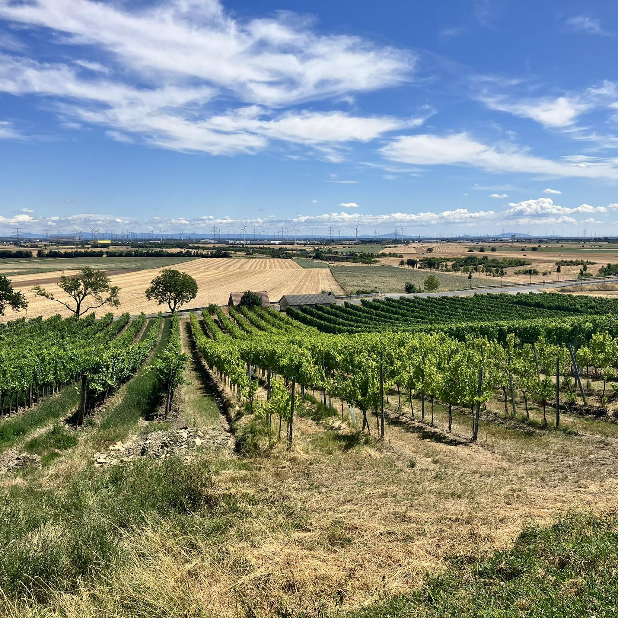
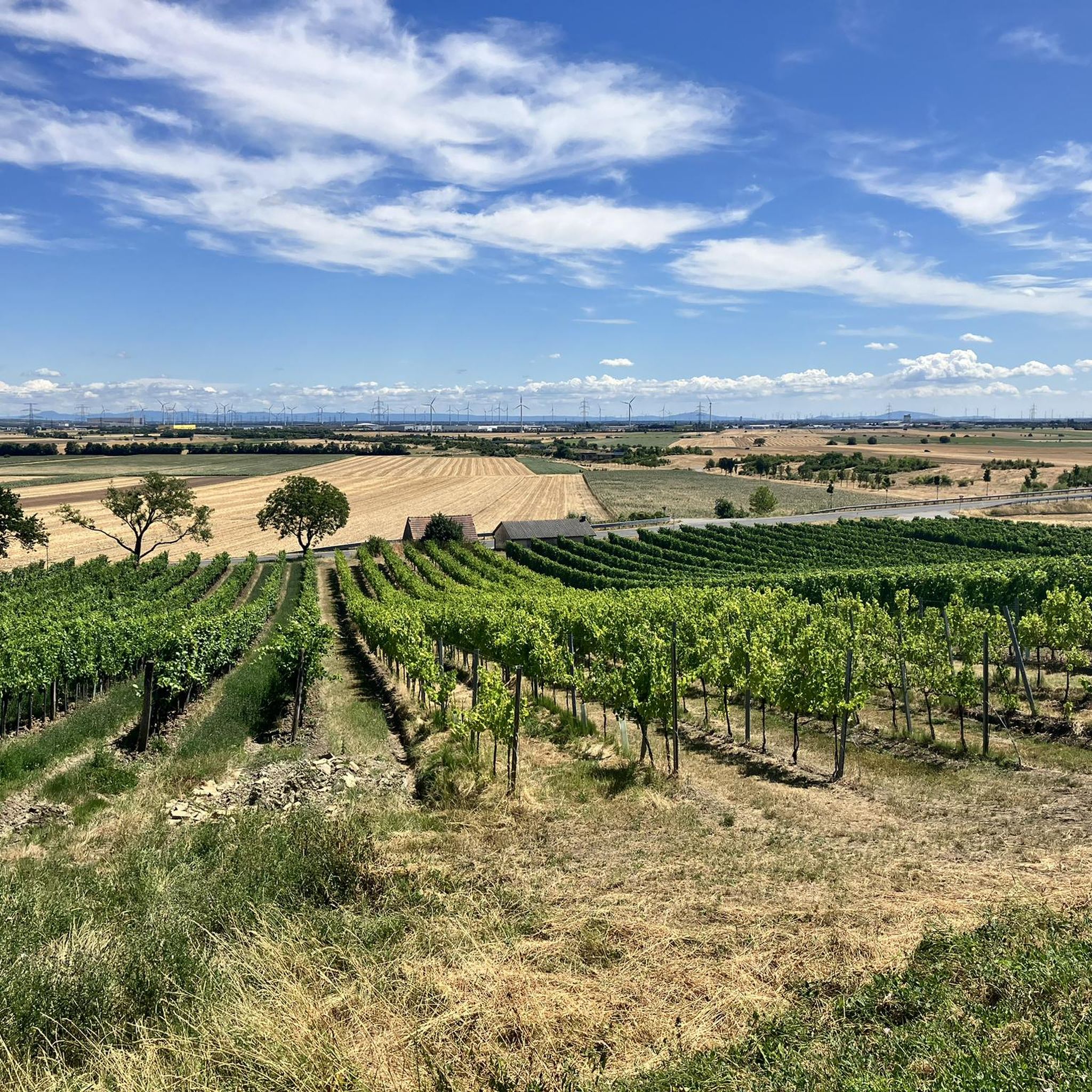
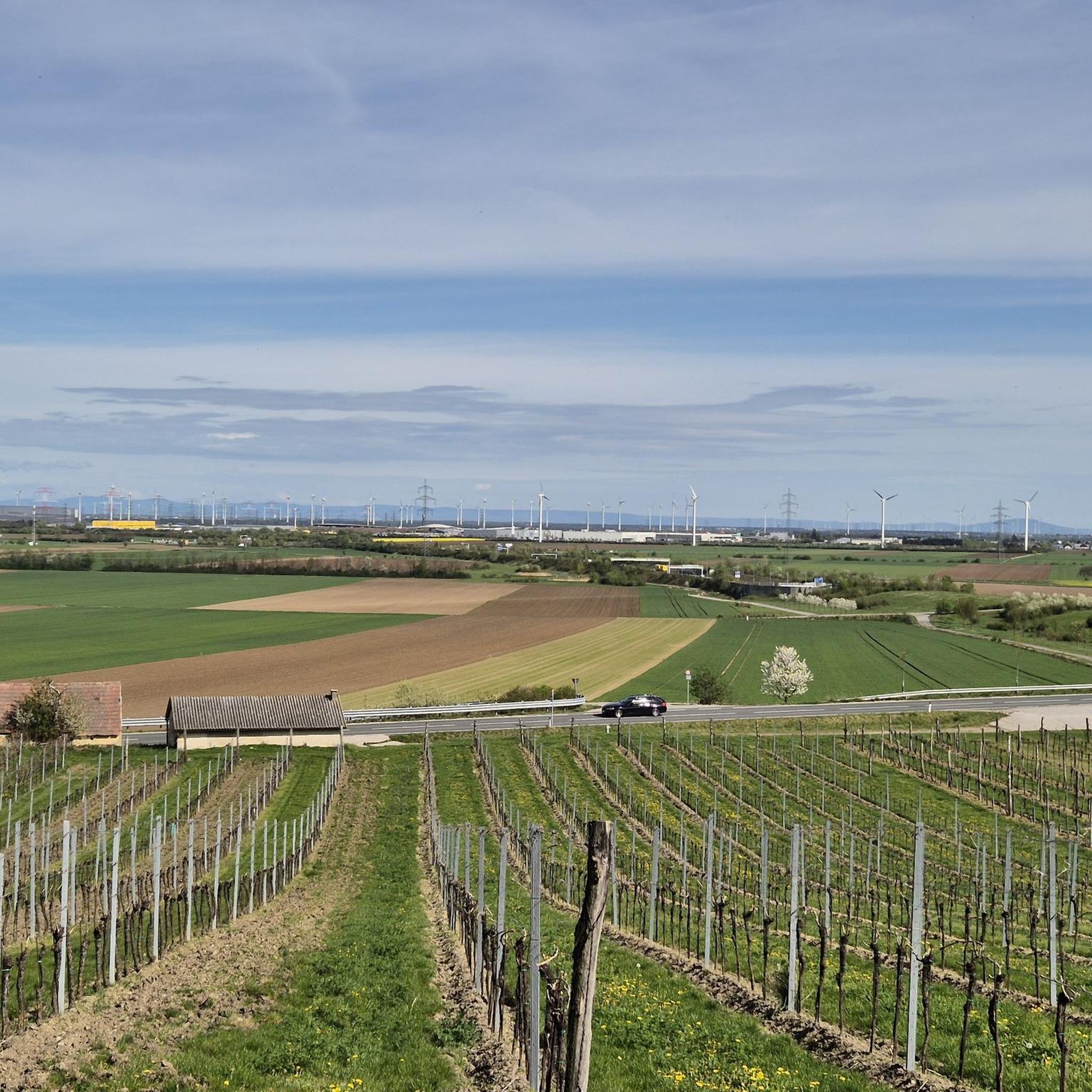
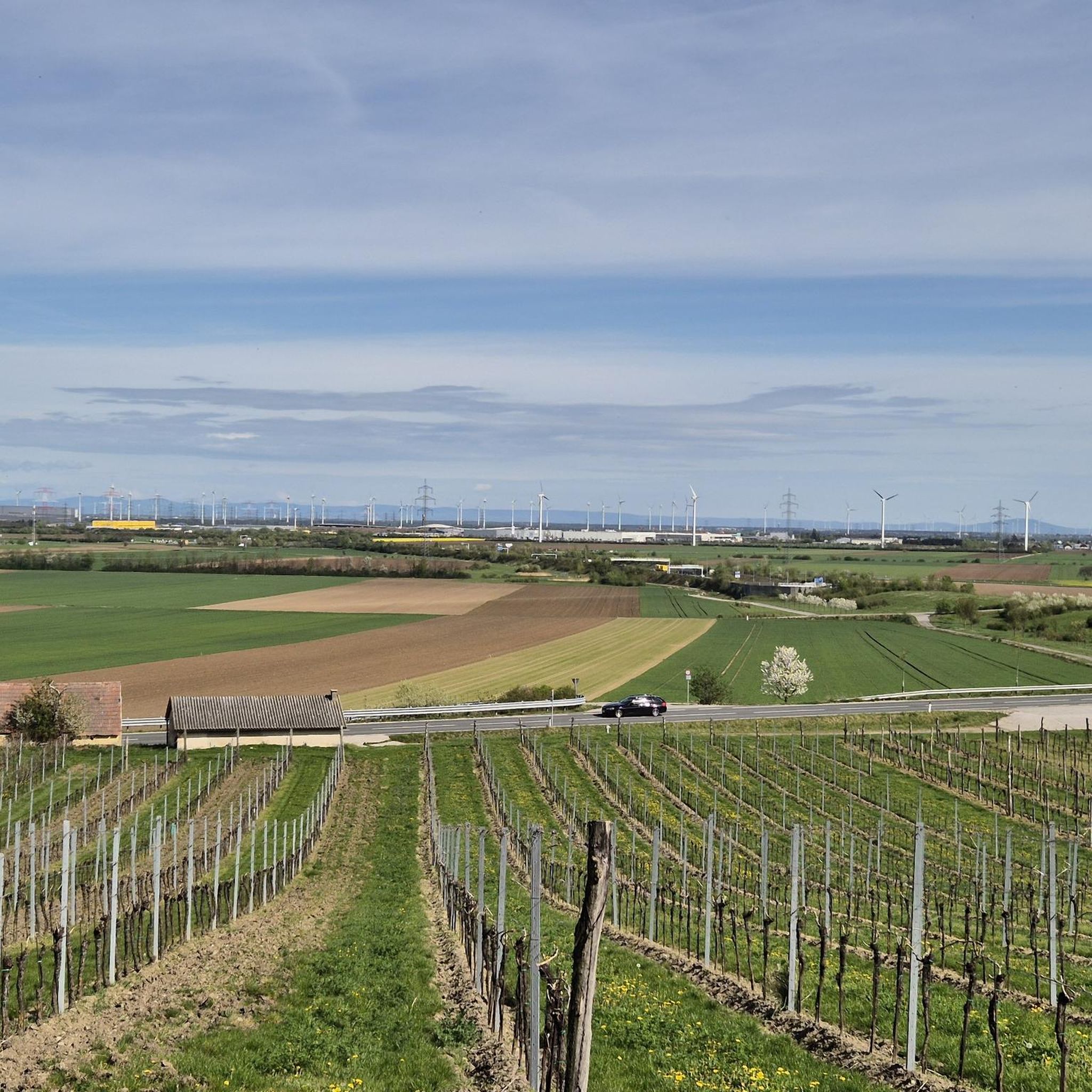
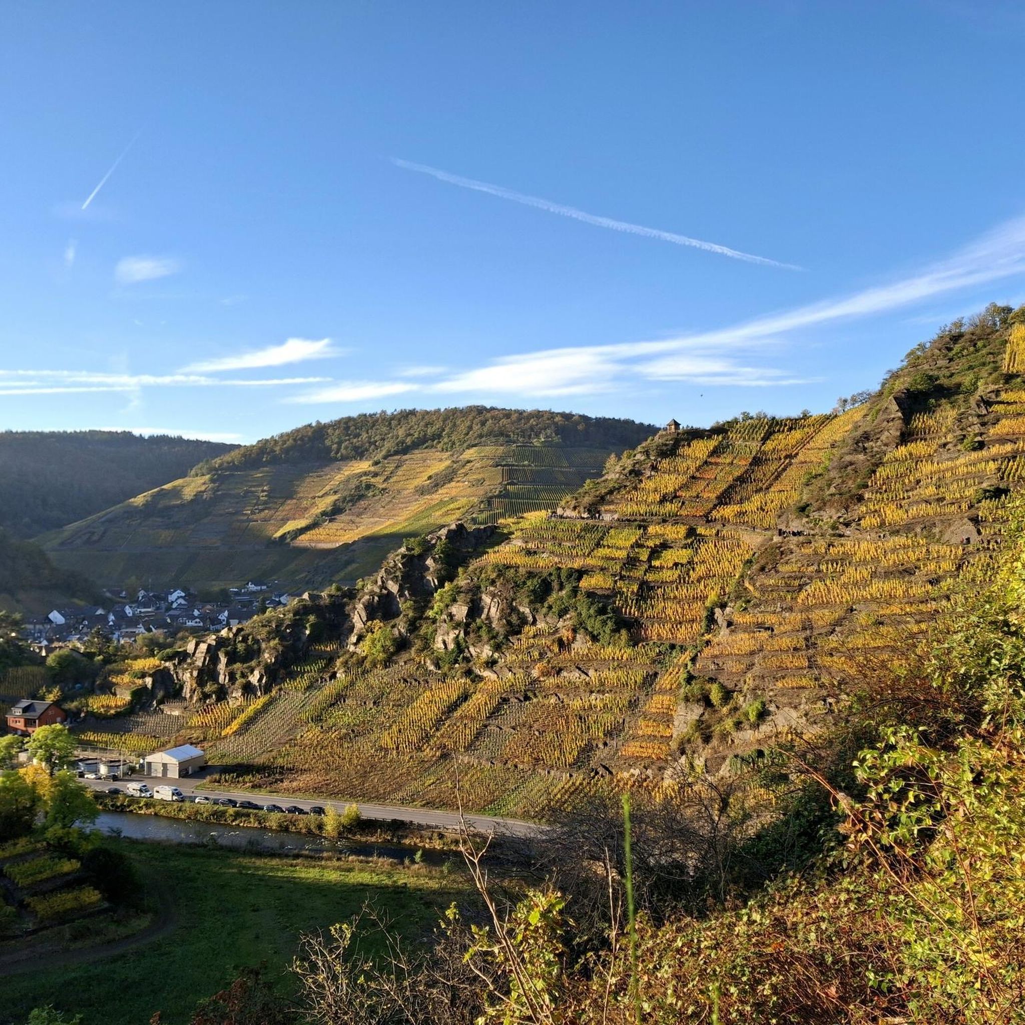
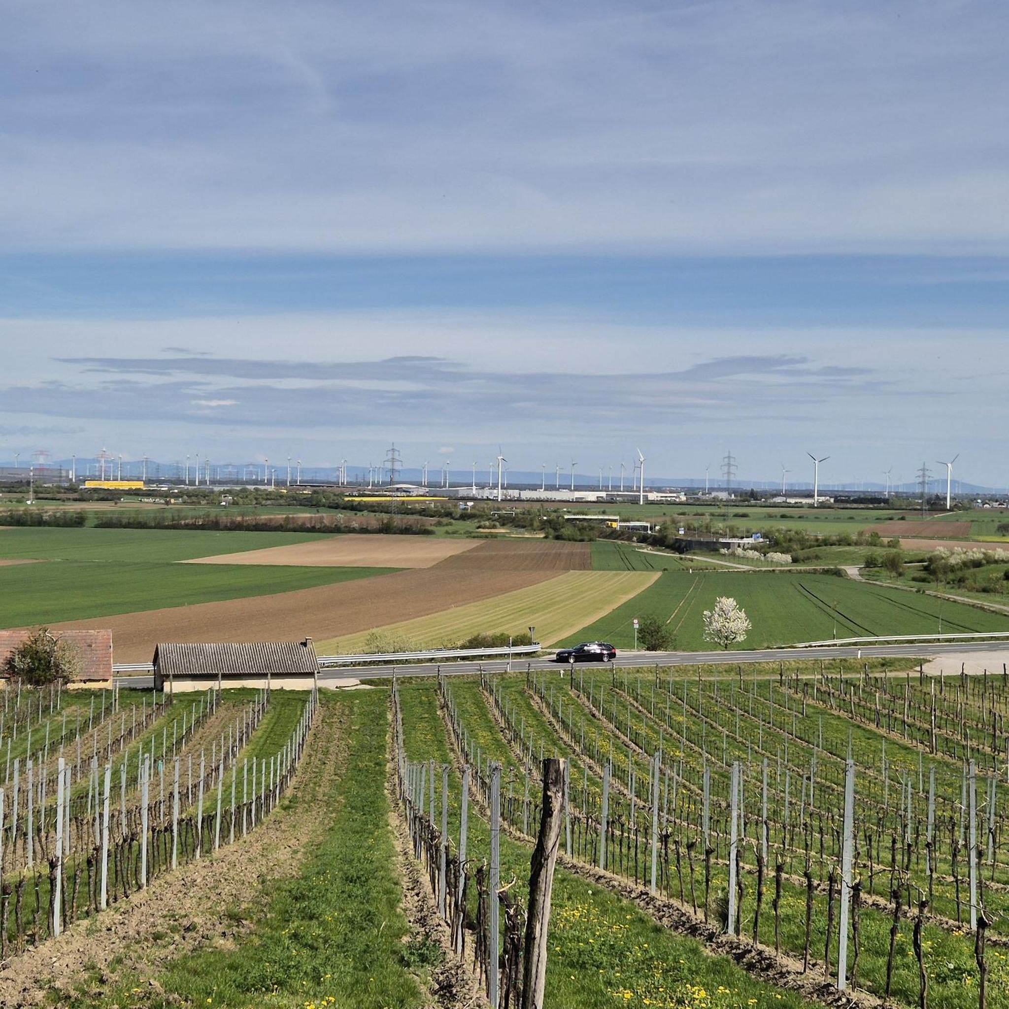
The Elisabethhöhe viewpoint on the Bisamberg offers a sweeping view over the Danube Valley and the rolling hills of the Weinviertel region. Nestled between forest and open fields, an impressive panorama unfolds, encompassing the Danube and the surrounding landscape. A worthwhile stop for anyone who appreciates peace, nature, and panoramic views.
6
0
From Elisabethhöhe, a sweeping view opens up across the Danube Valley with its meadows, fields, and the gently flowing Danube. On a clear day, the panorama extends far into the Weinviertel region and to the rolling hills of Lower Austria. A beautiful spot for a break to soak in the scenery and the vastness of the landscape.
1
0
The Nordwienersteig trail lies in the Bisamberg Forest and offers breathtaking views of Vienna, with St. Stephen's Cathedral and the Danube Tower on the horizon. Between light forest passages, the panorama repeatedly opens up, revealing the Danube and the expansive cityscape. A tranquil spot on the edge of the Vienna Woods, ideal for a short break with panoramic views.
6
0

The viewing platform on Kahlenberg is one of Vienna's most famous viewpoints, offering a sweeping panoramic view of the city. From the platform, large parts of the Inner City, the Danube, Danube Island, and the outer districts are clearly visible. On a clear day, the view extends far beyond the city limits into the Vienna Basin and the surrounding countryside. Its elevated position on the edge of the Vienna Woods combines nature with city views, making the platform a popular destination for cyclists who want to experience Vienna from a bird's-eye perspective.
0
0

Under favorable conditions, a fantastic panorama, fantastic. The skyline with the magnificent skyscrapers in "Donau City" and the view of Vienna itself never cease to fascinate me.
1
1


Still in Vienna but very rural. Close to Nasenweg
1
1

Frequently Asked Questions
What kind of mountaineering routes can I expect around Enzersfeld im Weinviertel?
Mountaineering around Enzersfeld im Weinviertel primarily involves elevated hikes within the nearby Vienna Woods. The immediate region of Enzersfeld itself is characterized by gentle rolling hills, expansive vineyards, and dense forests, making it more suitable for leisurely hiking and cycling. The routes in the Vienna Woods offer varied terrain, including forested paths and viewpoints overlooking the Danube and Vienna.
How many mountaineering routes are available in this guide?
This guide features 5 distinct mountaineering routes. These routes are generally considered easy to moderate, offering a range of options for different ability levels.
Are there any easy mountaineering routes suitable for beginners?
Yes, several routes are classified as easy. For instance, the View from Leopoldsberg – View of Vienna from the Kahlenberg loop is an easy 3.5-mile (5.6 km) trail, and the View of Vienna loop from Biosphärenpark Wienerwald Kernzone Leopoldsberg is another easy 2.6-mile (4.1 km) path, both offering great views without significant technical challenges.
Can I find routes with good viewpoints?
Absolutely. Many of the routes are specifically chosen for their panoramic views. For example, the Kahlenberg Viewing Platform – View of Vienna from the Kahlenberg loop offers stunning vistas of Vienna and the surrounding landscapes. The View from Leopoldsberg route also provides excellent perspectives of the city.
Are there any circular mountaineering routes?
Yes, most of the routes in this guide are designed as loops, allowing you to start and finish at the same point. This includes popular options like the View of Vienna – Nasenweg Trail and Viewpoint loop and the Riegelkamm Singletrack – Untere Innerthalen Trail loop.
What natural features can I expect to see along the trails?
While Enzersfeld itself is known for its vineyards and rolling hills, the mountaineering routes in the nearby Vienna Woods will take you through dense forests and offer glimpses of the Danube. You'll experience picturesque forest paths and elevated areas that provide expansive views over the surrounding valleys and Vienna.
What is the best time of year for mountaineering in this region?
The region is particularly beautiful in spring and autumn. Spring brings vibrant blossoms to the vineyards and forests, while autumn offers stunning autumnal colors. These seasons generally provide pleasant temperatures for outdoor activities.
Are the mountaineering routes family-friendly?
Given that many routes are classified as easy and involve well-maintained paths through forested areas, they can be suitable for families. The shorter, less strenuous loops, such as the View of Vienna loop, are good options for outings with children, allowing them to enjoy nature and viewpoints.
Are dogs allowed on the trails?
Generally, dogs are welcome on hiking trails in the Vienna Woods, but it's always advisable to keep them on a leash, especially in nature protection areas or near wildlife. Please ensure you follow local regulations and clean up after your pet.
What other attractions are near the mountaineering routes?
Many routes offer views of Vienna and the Danube. You can also find highlights such as the Panoramic view of Vienna and the Danube from Leopoldsberg. The broader region is also famous for its 'Heurigen' (seasonal wine taverns) where you can sample local wines and cuisine after your hike.
How can I access the trailheads, especially regarding parking or public transport?
The mountaineering routes are primarily located in the Biosphärenpark Wienerwald Kernzone Leopoldsberg area, which is accessible from Vienna. While specific parking details for each trailhead are best checked on the individual route pages, public transport options, particularly buses from Vienna, often serve these popular hiking areas. Enzersfeld im Weinviertel itself is connected to regional transport networks.
What is the typical elevation gain on these routes?
The routes in this guide feature moderate elevation gains, typically ranging from around 185 meters to 310 meters. This provides a good workout without being overly strenuous, allowing for enjoyable climbs through wooded areas to reach scenic viewpoints.
Most popular routes around Enzersfeld im Weinviertel
Most popular attractions around Enzersfeld im Weinviertel

Get inspired with the komoot mobile app


Explore more
Browse the best Mountain Hikes & Routes in other regions.
