The best mountain hikes around Wartmannstetten
5.0
(5)
132
hikers
10
hikes
Mountaineering around Wartmannstetten offers a variety of routes through the region's diverse landscape. The area features a mix of rolling hills, forested sections, and notable geological formations like the Johannesbach Gorge. Elevation changes are characteristic of the terrain, providing engaging challenges for mountaineers. The routes often lead through scenic valleys and past historical sites, showcasing the natural and cultural heritage of the area.
Best mountaineering routes around Wartmannstetten
- The most popular mountaineering route is Mountaineering loop from Gleißenfeld, a…
Last updated: July 1, 2026
5.0
(4)
65
hikers
1.92km
01:08
210m
210m
Moderate mountaineering route. Great for any fitness level. Mostly accessible paths. Sure-footedness required.
12
hikers
7.50km
02:27
240m
240m
Moderate mountaineering route. Good fitness required. Mostly accessible paths. Sure-footedness required.

Sign up for free
10
hikers
7.00km
02:20
250m
250m
Hard mountaineering route. Good fitness required. Sure-footedness, sturdy shoes and alpine experience required.
12
hikers
Moderate mountaineering route. Good fitness required. Mostly accessible paths. Sure-footedness required.
10
hikers
4.39km
01:38
220m
220m
Moderate mountaineering route. Great for any fitness level. Mostly accessible paths. Sure-footedness required.
Get access to more routes and recommendations from other explorers.
Sign up for free
Already have an account?
Our route recommendations are based on thousands of hikes, rides, and runs completed by other people on komoot.
Start today with a free account
Your next adventure awaits.
Login or Signup
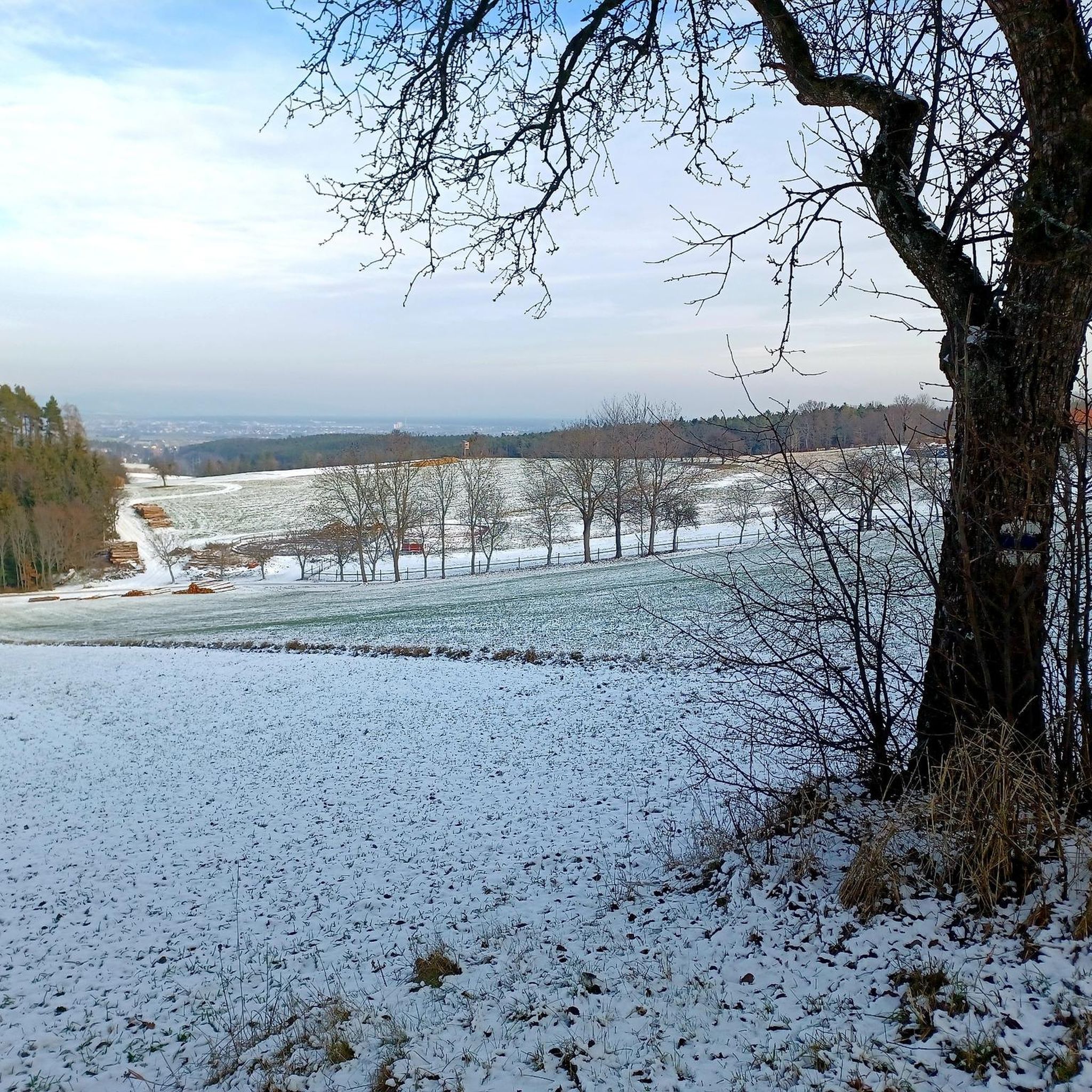
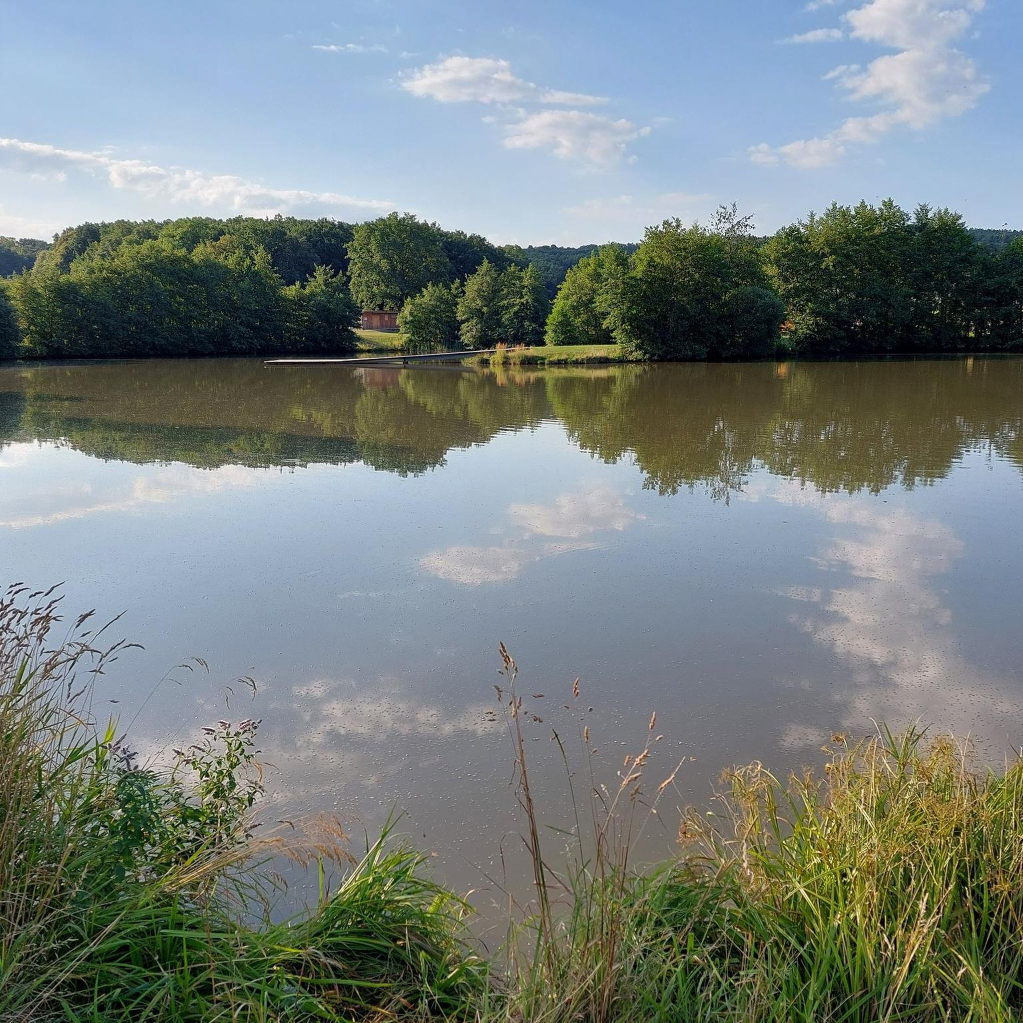
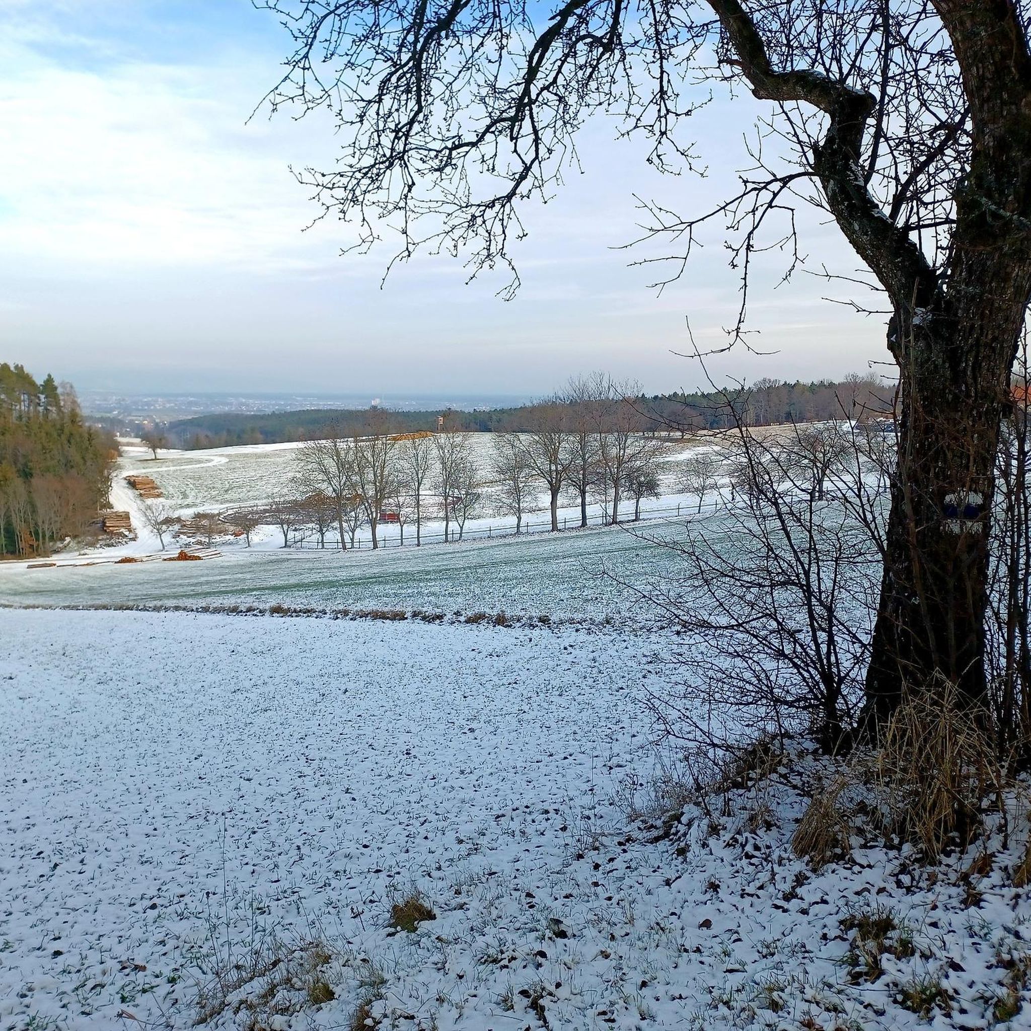
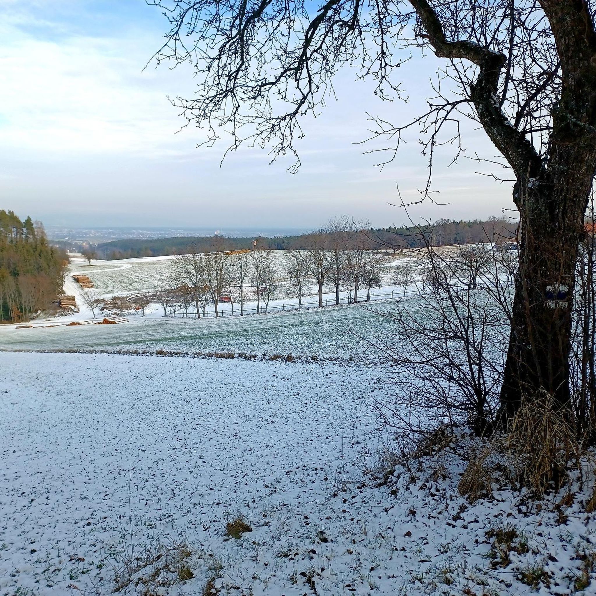
Tips from the Community

The beech forest at Schlossberg is a valuable natural forest reserve, particularly known for its structure and species-rich flora. It offers habitat for diverse forest communities, often on poorer silicate substrates, and is scenically attractive. Hikes in this area are popular, for example, around the Türkensturz near Seebenstein.
1
0


Beautiful artificial ruin with very nice views of the surrounding landscape.
0
0

A beautiful landscape. Worth a trip in autumn.
0
0

The tower of the Turk's fall collapsed. With it, the crescent moon at the top also fell into the depths (the district papers reported). Now the crescent could be found. GLEISSENFELD (ts/e_peinsipp). The Turk's Fall is a landmark that can be seen from afar for the nature park and the hiking area with historical significance. But recently part of the ruin, which was artificially created over 200 years ago, collapsed. Parts of the boulders rolled through the forest to the hiking trails that began in the valley. Now the long-lost crescent that sat at the top of the Turk's Fall Tower could be handed over to the community again. Source: www.meinkreis.at/neunkirchen/c-lokales/tuerkenjagd-ruine-brueder-retteten-halbmond_a5996874
26
3
Cozy through the beech forest, always beautiful in all seasons.
0
1
July 31, 2021 - The castle is impressive even from the outside. During a guided tour you can also get to know the inside of the castle, which is very interesting. The visit of the building, with the courtyards and the well-appointed interiors, is highly recommended.
10
5

The castle is open on Saturdays, Sundays and public holidays from 2 p.m. to 3 p.m.
3
1
Frequently Asked Questions
How many mountaineering routes can I find around Wartmannstetten?
There are 10 mountaineering routes available around Wartmannstetten, offering a variety of experiences through the region's diverse landscape. Most of these are moderate, with a couple of more challenging options.
Are there any easy mountaineering routes suitable for beginners in Wartmannstetten?
While there are no routes specifically graded as 'easy', many of the moderate routes are accessible for beginners with a reasonable level of fitness. For example, the Mountaineering loop from Burg Seebenstein is a moderate 4.4 km (2.7 miles) trail that takes around 1 hour 37 minutes to complete, offering a good introduction to the area's terrain.
What is the typical length and duration of mountaineering routes in this area?
Mountaineering routes around Wartmannstetten vary in length and duration. You'll find trails ranging from approximately 4.4 km (2.7 miles) to 12.2 km (7.6 miles). The shorter routes can be completed in about 1 hour 37 minutes, while longer, more challenging ones, like the Johannesbach Gorge – Schrattenstein Castle Ruins loop from Würflach, might take up to 3 hours 38 minutes.
Are there any circular mountaineering routes available?
Yes, many of the mountaineering routes around Wartmannstetten are designed as loops, allowing you to start and end at the same point. Examples include the popular Mountaineering loop from Gleißenfeld and the Mountaineering loop from Katastralgemeinde Gleißenfeld, both offering varied terrain and scenic views.
What kind of natural attractions or viewpoints can I expect to see along the routes?
The routes often lead through scenic valleys and past notable natural formations. You can explore the impressive Johannesbach Gorge, or enjoy panoramic views from the Gfiederwarte Observation Tower and the Kernstock Lookout on Wolfenkogel. These highlights offer excellent spots to pause and take in the landscape.
Are there any historical sites or landmarks to explore near the mountaineering trails?
Absolutely. The region is rich in history. You can discover the Ruins of Hochgrimmenstein Castle on Kulmriegel Summit, which are often incorporated into longer routes, or pass by other historical castle ruins that dot the landscape, adding a cultural dimension to your mountaineering experience.
What is the best time of year for mountaineering around Wartmannstetten?
The best time for mountaineering around Wartmannstetten is generally from spring through autumn. During these seasons, the weather is typically more stable, and the trails are clear of snow and ice, making for safer and more enjoyable conditions. Always check local weather forecasts before heading out.
What do other mountaineers enjoy most about the routes in Wartmannstetten?
The area is highly rated by the komoot community, with an average score of 5.0 stars. Reviewers often praise the diverse landscape, which combines rolling hills, forested sections, and interesting geological formations. The well-maintained trails and the blend of natural beauty with historical sites are frequently highlighted.
Are there any particularly challenging mountaineering routes for experienced hikers?
Yes, for those seeking a greater challenge, the Zierteich loop from Seebenstein is a difficult 6.9 km (4.3 miles) path. This route features significant elevation gain and leads through rugged landscapes, providing a demanding yet rewarding experience for experienced mountaineers.
Is there parking available near the trailheads?
While specific parking information for each trailhead is best found on the individual route pages, many popular starting points for mountaineering routes in the Wartmannstetten region, especially those near villages or attractions, typically offer designated parking areas. It's advisable to check the route details on komoot before your trip for the most accurate information.
Most popular routes around Wartmannstetten
Most popular attractions around Wartmannstetten

Get inspired with the komoot mobile app


Explore more
Browse the best Mountain Hikes & Routes in other regions.
