The best running trails around Trattenbach
4.6
(37)
1,174
runners
75
runs
Jogging routes around Trattenbach offer diverse natural landscapes and well-developed trail networks. The region features significant elevation changes, providing a variety of running experiences through mountainous terrain. Lush green valleys and extensive forests characterize the area, with routes ranging from gentle paths to more challenging ascents.
Best jogging routes around Trattenbach
- The most popular jogging route is Kummerbauerstadl Alpine Inn loop from Göstritzsattel, a 4.6 miles (7.4 km) trail that takes 54 minutes to complete. This moderate route features…
Last updated: October 18, 2026
5.0
(3)
52
runners
7.42km
00:54
230m
240m
Moderate run. Good fitness required. Mostly paved surfaces. Suitable for all skill levels.
30
runners
9.19km
01:04
260m
260m
Moderate run. Good fitness required. Mostly paved surfaces. Suitable for all skill levels.

14
runners
4.50km
00:42
260m
260m
Hard run. Good fitness required. Sure-footedness, sturdy shoes and alpine experience required.
5.0
(1)
19
runners
8.52km
00:55
130m
130m
Moderate run. Good fitness required. Mostly paved surfaces. Suitable for all skill levels.
12
runners
Hard run. Very good fitness required. Sure-footedness, sturdy shoes and alpine experience required.
Get access to more routes and recommendations from other explorers.
Already have an account?
Our route recommendations are based on thousands of hikes, rides, and runs completed by other people on komoot.
Start today with a free account
Your next adventure awaits.
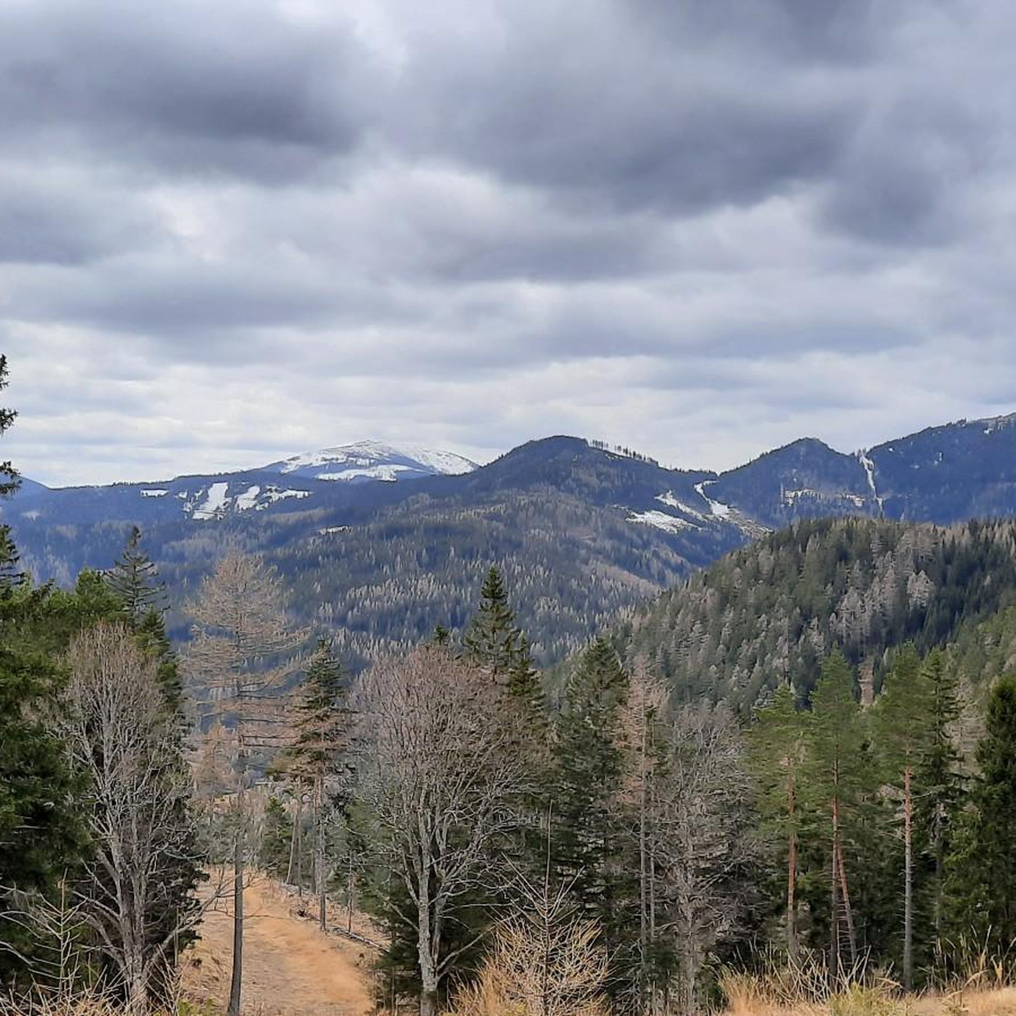
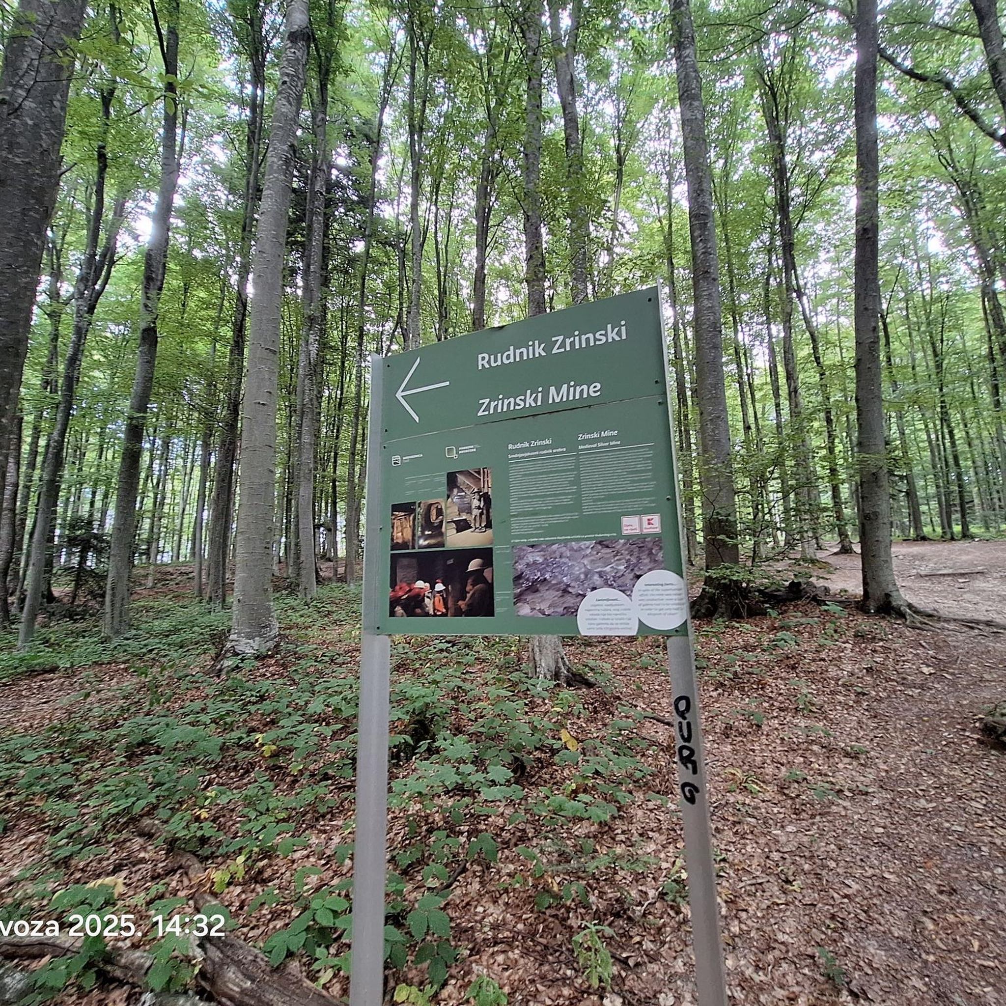
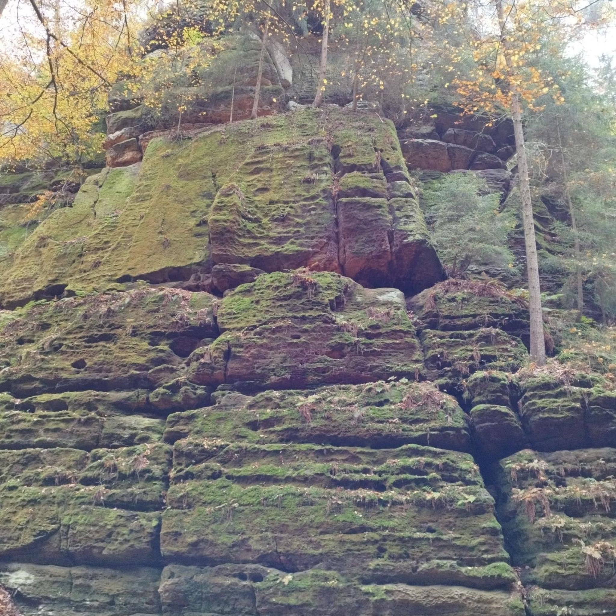
Other adventures around Trattenbach

Tips from the Community

The waterfall is wonderfully beautiful, and you don't have to go far from the forest path, about 80m. Be careful on the big stones and roots! Fortunately, we can take excellent photos from the small wooden bridge laid across.
0
0
At the highest pasture of Molzegg, we reach the farm, which also provides meals. The self-service honesty box system is located in the backyard of the house. Payment is by cash. We can sit in the area facing the parking lot, but it is also very spacious inside, with plenty of seating. The service is friendly, and they bring our order to the table.
0
0

The large wooden „W“ stands directly on the Hochwechsel and marks the start of the Hochwechsel Trail „The WU“. It serves as a kind of gateway to the mountain bike trail, which leads from here across the alpine pasture in the direction of Marienseer Schwaig. Due to its striking shape, the „W“ is now also a distinctive photo motif directly on the Hochwechsel.
3
0
The Wetterkoglerhaus is located directly on the summit of the Hochwechsel at 1,743 meters and is a hut of the Austrian Alpine Club. With good visibility, the hut offers a magnificent panorama over the Wechsel region to Schneeberg, Rax, and Hochschwab. Due to its immediate proximity to the summit cross and chapel, the Wetterkoglerhaus is an ideal resting and refreshment stop at the highest point of the tour.
4
0
The Dreiländereck lies in a saddle between Arabichl and Umschußriegel and is an important junction in the Wechsel area. Contrary to what the name suggests, three federal states do not meet here; the designation apparently dates back to the confluence of three property boundaries. From here, paths branch off in the direction of Hochwechsel, Marienseer Schwaig, Kranichberger Schwaig, and Steyersberger Schwaig, among others.
4
0
The Carolus Monument at the Semmering Pass commemorates the construction of the road over the Semmering under Emperor Charles VI. It was erected in 1728 by the estates of Inner Austria on the occasion of the opening of the new road from Vienna towards Trieste. A beautiful historical stopover that reminds us of the importance of the Semmering as an Alpine crossing long before the construction of the famous Semmering Railway.
3
0

However, numerous hiking trails still lead to and from the Kranichberger Schwaig, e.g. you can also reach the hut via the Feistritzsattel.
0
0
Very good, hearty, regional cuisine with extremely friendly staff. The inn is traditionally furnished, which gives it a characteristic charm. The Kummerbauerstadl is one of the few still operating inns in the region that you can visit with a clear conscience.
1
0
Frequently Asked Questions
What kind of terrain can I expect on running trails in Trattenbach?
Trattenbach offers a diverse range of terrain for runners. You'll find significant elevation changes, from moderate ascents to more challenging mountain climbs. The routes often wind through beautiful forest scenery, lush green valleys, and open mountain landscapes. Some paths are well-accessible, while others might be more rugged, catering to various preferences.
Are there running routes suitable for beginners in Trattenbach?
Yes, Trattenbach provides options for all ability levels. While many routes feature mountainous terrain, there are easier paths available. For example, the region offers routes under 5 kilometers with minimal elevation gain, perfect for those new to running or looking for a gentler experience.
How many running routes are available around Trattenbach?
There are over 70 dedicated running routes around Trattenbach listed on komoot, offering a wide variety of distances and difficulty levels to explore.
Are there any circular running routes in Trattenbach?
Yes, many of the running routes in Trattenbach are circular, allowing you to start and finish at the same point. A popular moderate option is the Kummerbauerstadl Alpine Inn loop from Göstritzsattel, which is 4.6 miles (7.4 km) long. Another great choice is the Steyersberger Hut – Feistritzer Schwaig loop from Steyersberger Schwaig, a moderate 5.7 miles (9.2 km) path through forest scenery.
What can I see along the running routes in Trattenbach?
Many running routes in Trattenbach offer scenic views and access to natural attractions. You might encounter beautiful forest landscapes, lush valleys, and panoramic vistas, especially on higher trails. For specific points of interest, consider routes near highlights like the Chapel and summit cross on the Hochwechsel or the Hirschenkogel Millennium Observation Tower, which offer stunning views.
Is parking available at the trailheads for running routes in Trattenbach?
While specific parking details for every trailhead are not always listed, many popular starting points for running routes in Trattenbach, such as Göstritzsattel or Steyersberger Schwaig, typically offer parking facilities. It's advisable to check local signage upon arrival.
What is the best time of year for running in Trattenbach?
Trattenbach is an attractive destination for running year-round. Pleasant forest tours are enjoyable in spring, summer, and autumn. The region also offers enchanting winter landscapes, and some trails might be accessible for winter jogging or trail running depending on snow conditions. Summer runs can be particularly pleasant in the shaded forest sections.
Are there any challenging trail running options in Trattenbach?
Absolutely. Trattenbach's mountainous terrain provides numerous challenging options for experienced trail runners. Routes like the Stuhleck – Hühnerkogel loop from Pfaffensattel, an 11.8 miles (19.1 km) trail with significant ascents, are classified as difficult and offer a strenuous workout with rewarding views.
Can I bring my dog on the running trails in Trattenbach?
Generally, dogs are welcome on many outdoor trails in Trattenbach. However, it's always recommended to keep your dog on a leash, especially in nature protection areas, near livestock, or in crowded sections, to ensure the safety and enjoyment of all trail users and wildlife.
What do other runners enjoy most about jogging in Trattenbach?
The running routes in Trattenbach are highly rated by the komoot community, with an average score of 4.6 stars from over 20 reviews. Runners often praise the varied mountain landscapes, the beautiful forest scenery, and the well-developed trail networks that cater to different fitness levels.
Are there any routes that feature waterfalls in Trattenbach?
Yes, there is a notable route that includes a waterfall. The Marienseer Waterfall – Marienseer Schwaig loop from Katastralgemeinde Neustift am Alpenwald is a difficult 13.6 km (8.5 miles) route that allows you to experience this natural feature.
Are there any long-distance running routes available?
While many routes are designed for day trips, some can be combined or are inherently longer. For instance, the Stuhleck – Hühnerkogel loop from Pfaffensattel is a substantial 11.8 miles (19.1 km) trail, offering a longer running experience through mountainous terrain.
Most popular routes around Trattenbach
Most popular attractions around Trattenbach

Get inspired with the komoot mobile app


Explore more
Browse the best Running Trails & Routes in other regions.
