The best road cycling routes around High Easter
4.7
(243)
7,130
riders
241
rides
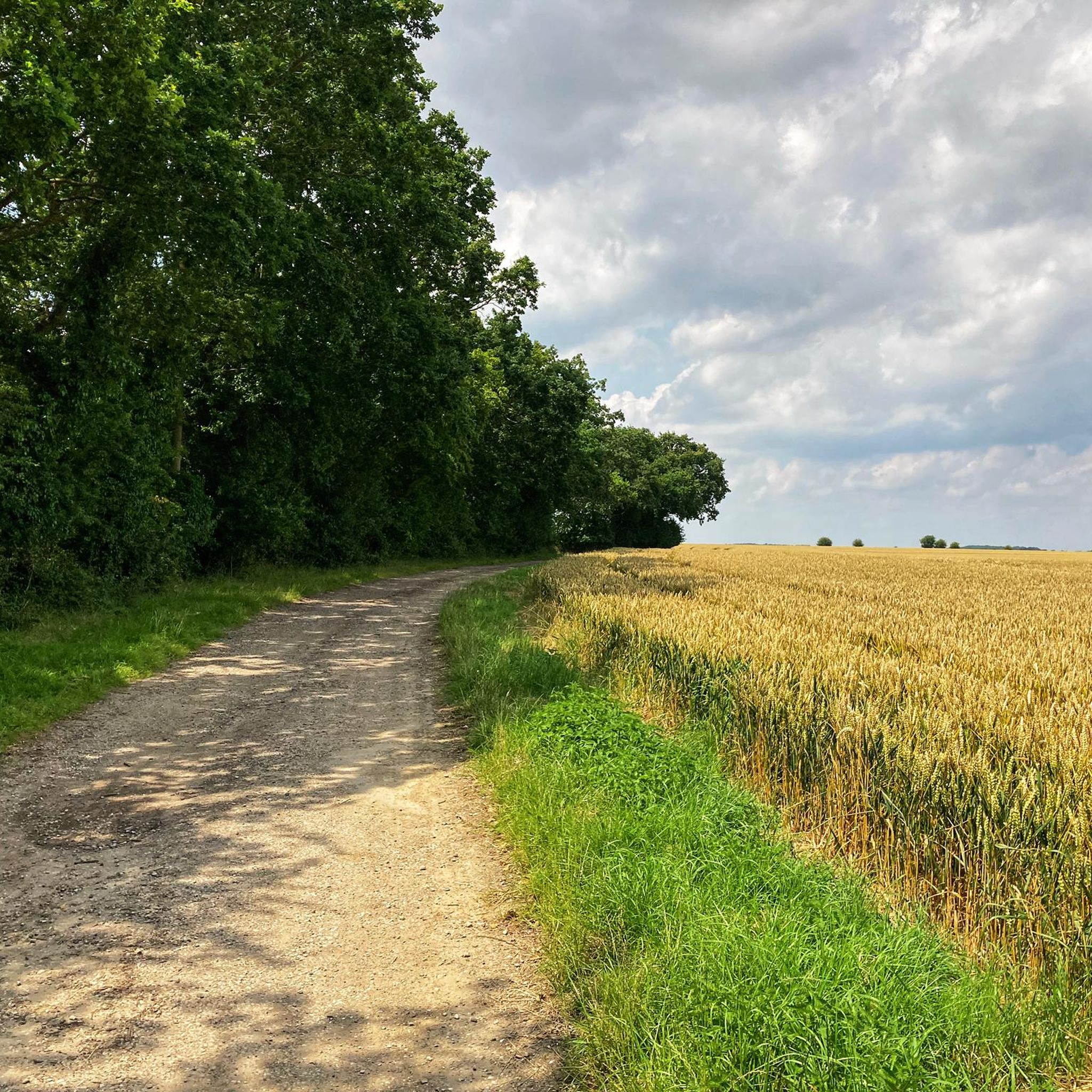
Road cycling around High Easter offers routes through the heart of the Essex countryside, characterized by largely gentle and well-paved road surfaces. The terrain features rolling fields and ancient woodlands, providing a sense of escape from urban environments. While significant punishing hills are absent, routes can include ascents up to 1,000 feet, allowing for both leisurely excursions and more challenging rides. This area is known for its gentle scenery and atmospheric rural landscapes.
Best road cycling routes around High Easter
…Last updated: June 28, 2026
4.4
(5)
109
riders
47.4km
02:00
260m
260m
Moderate road ride. Good fitness required. Mostly well-paved surfaces and easy to ride.
54
riders
37.0km
01:28
130m
130m
Easy road ride. Great for any fitness level. Mostly well-paved surfaces and easy to ride.

Sign up for free
4.8
(18)
33
riders
49.5km
02:15
250m
250m
Moderate road ride. Good fitness required. Mostly well-paved surfaces and easy to ride.
17
riders
51.5km
02:12
210m
210m
Moderate road ride. Good fitness required. Mostly well-paved surfaces and easy to ride.
4.0
(6)
15
riders
27.4km
01:11
130m
130m
Easy road ride. Great for any fitness level. Mostly well-paved surfaces and easy to ride.
Get access to more routes and recommendations from other explorers.
Sign up for free
Already have an account?
Our route recommendations are based on thousands of hikes, rides, and runs completed by other people on komoot.
Start today with a free account
Your next adventure awaits.
Login or Signup
Tips from the Community


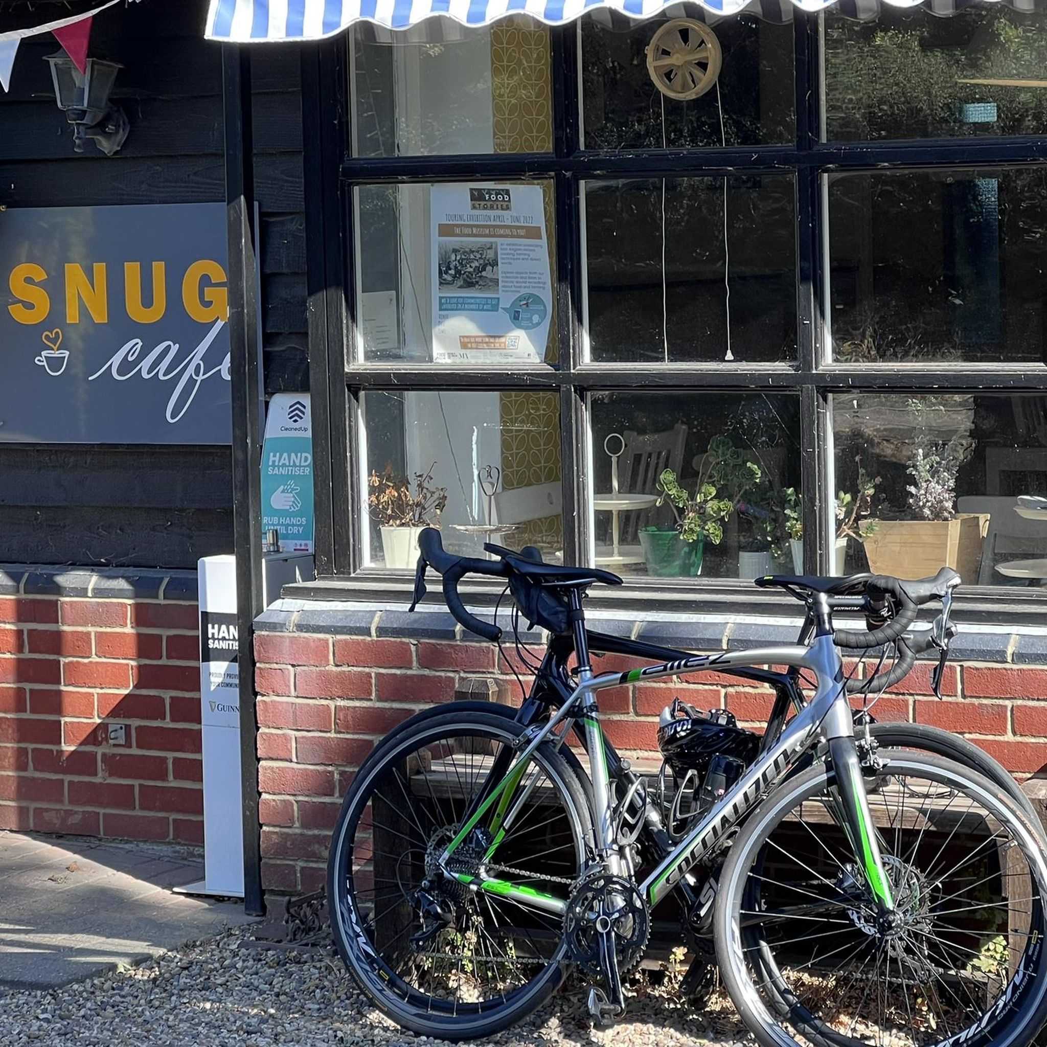
Brilliant cafe in High Easter - great place for a cafe stop on a ride through Essex. Well worth checking out
0
0

The Lordship Tea Room in Writtle closed to the public on 30 August 2024 [1]. For a similar experience, consider visiting other Tiptree Tea Rooms in Essex, such as the Tiptree Tea Room at Bond Street in Chelmsford. [1] https://www.bbc.com/news/articles/czrj3ykkrp3o [2] https://www.tea-and-coffee.com/afternoon-tea/tiptree-tea-room-at-the-college
0
0

The classic High Easter village sign. High Easter is a village and a civil parish in the Uttlesford district of Essex, England. The village is 7 miles northwest from the city of and county town of Chelmsford. The parish includes the hamlets of Bishop's Green and Stagden Cross.
0
0


Now called Dainteas Tea Room. Open 8.30am-4pm Tue-Sat.
0
0

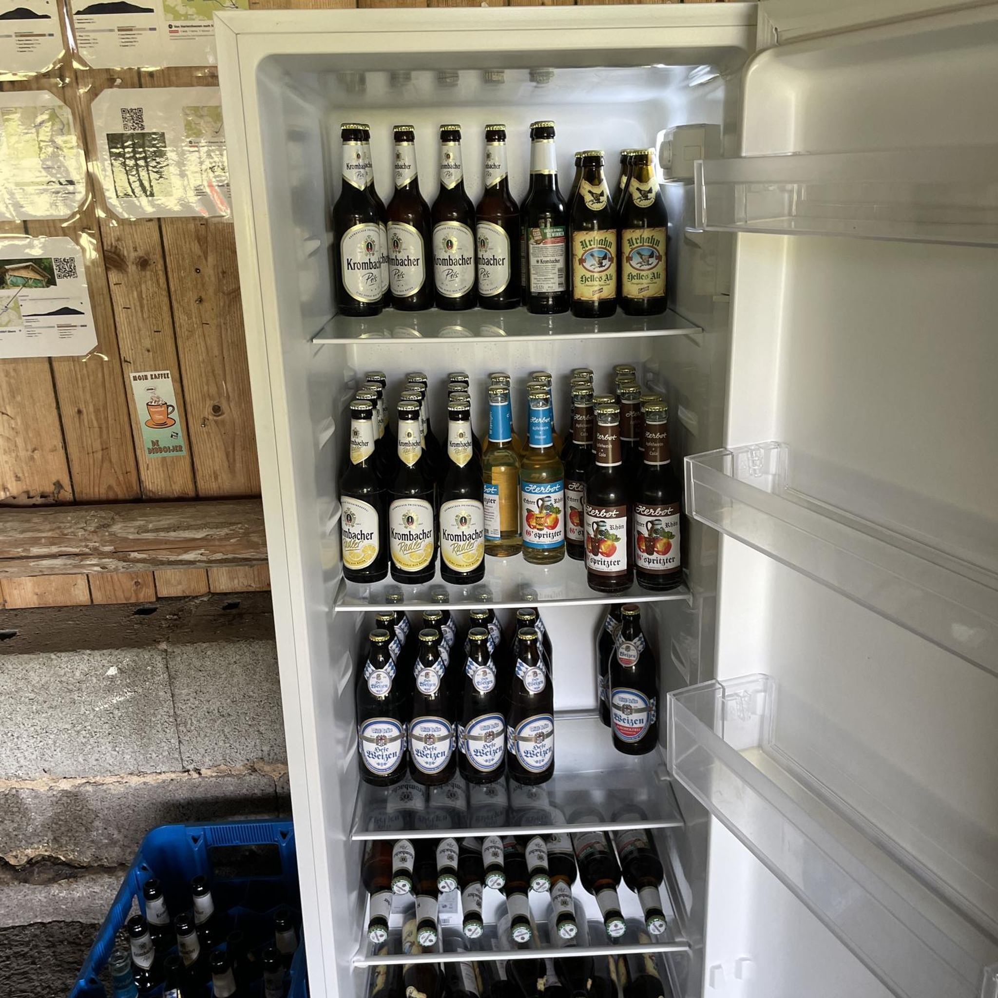
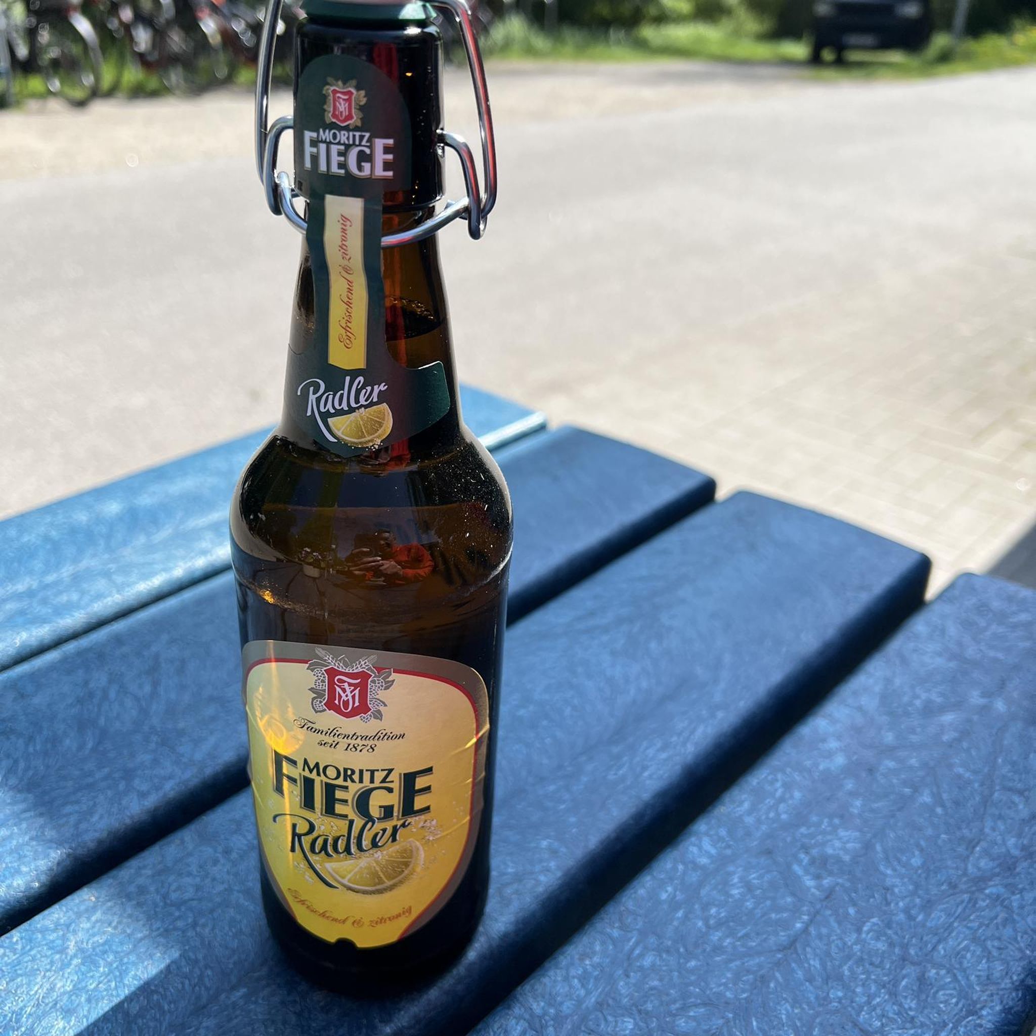
Restaurant, bar and terrace with bike-friendly beer garden.
0
0
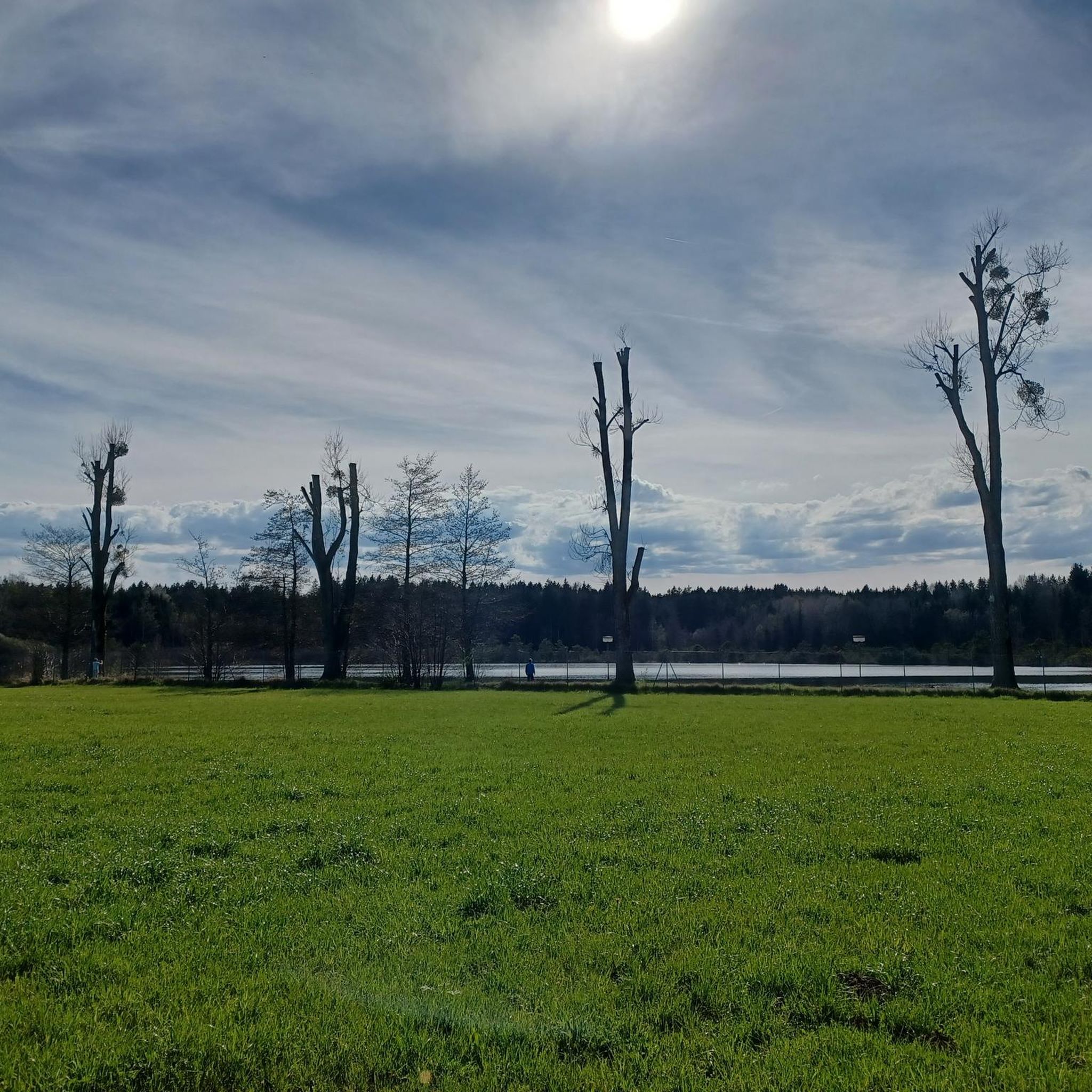
It is private, need permission to fish here!!!
0
0
Frequently Asked Questions
How many road cycling routes are available around High Easter?
There are over 250 road cycling routes around High Easter, offering a wide variety of options for different skill levels and preferences. You'll find a mix of easy and moderate trails to explore.
What kind of terrain can I expect when road cycling near High Easter?
The terrain around High Easter is characterized by largely gentle and well-paved road surfaces, making it ideal for road cycling. You'll ride through picturesque rolling fields and ancient woodlands, experiencing the quintessential English rural landscape. While there are no significant punishing hills, some routes include ascents up to 1,000 feet, providing a good balance of leisurely and more challenging sections.
Are there road cycling routes suitable for beginners or families in High Easter?
Yes, High Easter offers many easy road cycling routes perfect for beginners or families. For instance, the Bacon End – The Lordship Tea Room loop from Leaden Roding is an easy 23.0-mile path featuring gentle terrain and charming local stops. Overall, there are over 130 easy routes available in the area.
Where can I find more challenging road cycling routes around High Easter?
For those seeking a moderate challenge, routes like the High Easter Cricket Field – Great Bardfield Mill loop from High Easter offer a good workout. This 29.5-mile route includes an elevation gain of approximately 260 meters (around 850 feet). The region has over 120 moderate routes with similar elevation profiles, providing engaging rides without overly punishing climbs.
What are some scenic landmarks or natural features I can see along the road cycling routes?
While cycling, you'll encounter classic English rural scenery with rolling fields and ancient woodlands. For specific points of interest, consider routes that pass near historical sites like Pleshey Castle Earthworks and Brick Bridge or Remains of the Norman Castle Mound. The broader Essex region is also known for its nature reserves, such as Little Waltham Meadows and Aubrey Buxton Nature Reserve, which offer tranquil surroundings and opportunities for nature spotting.
Are there any good places to stop for refreshments during a ride in High Easter?
Absolutely! High Easter and its surrounding villages are cyclist-friendly. The Snug at High Easter is a popular café stop frequently mentioned by cyclists. You can also find welcoming village pubs, such as The Chequers, which often have pleasant beer gardens. The High Easter Cricket Field – The Snug at High Easter loop from High Easter is a great route that specifically passes by The Snug.
What do other cyclists say about road cycling in High Easter?
The road cycling routes around High Easter are highly rated by the komoot community, with an average score of 4.7 stars from over 270 reviews. Cyclists often praise the well-paved roads, the serene countryside, and the sense of escape from urban environments that the region offers.
Are there circular road cycling routes available from High Easter?
Yes, many of the road cycling routes around High Easter are circular, allowing you to start and end your ride in the same location. Examples include the Great Bardfield Mill – High Easter Cricket Field loop from High Easter, which is a 30.8-mile circular trail through rural landscapes.
What is the best season for road cycling in High Easter?
The gentle scenery and well-maintained roads make High Easter enjoyable for road cycling throughout much of the year. Spring and summer offer pleasant weather for exploring the rolling fields and ancient woodlands. Autumn provides beautiful foliage, while milder winter days can also be suitable, though checking local weather conditions is always recommended.
Are there any castles or historical sites accessible by road bike near High Easter?
Yes, several historical sites and charming villages are within cycling distance. You can explore places like Pleshey Castle Earthworks and Brick Bridge or the historic Pleshey Village. These offer interesting stops and add a cultural dimension to your ride through the Essex countryside.
Where can I park my car when visiting High Easter for road cycling?
High Easter is a rural village, and parking facilities are typically available within the village itself or at local establishments like pubs, often with permission. It's advisable to check specific parking options for your chosen starting point, but generally, you'll find convenient spots for cyclists.
Most popular attractions around High Easter

Get inspired with the komoot mobile app


Explore more
Browse the best Road cycling routes in other regions.
