The best road cycling routes around Clannaborough
4.2
(16)
1,336
riders
84
rides
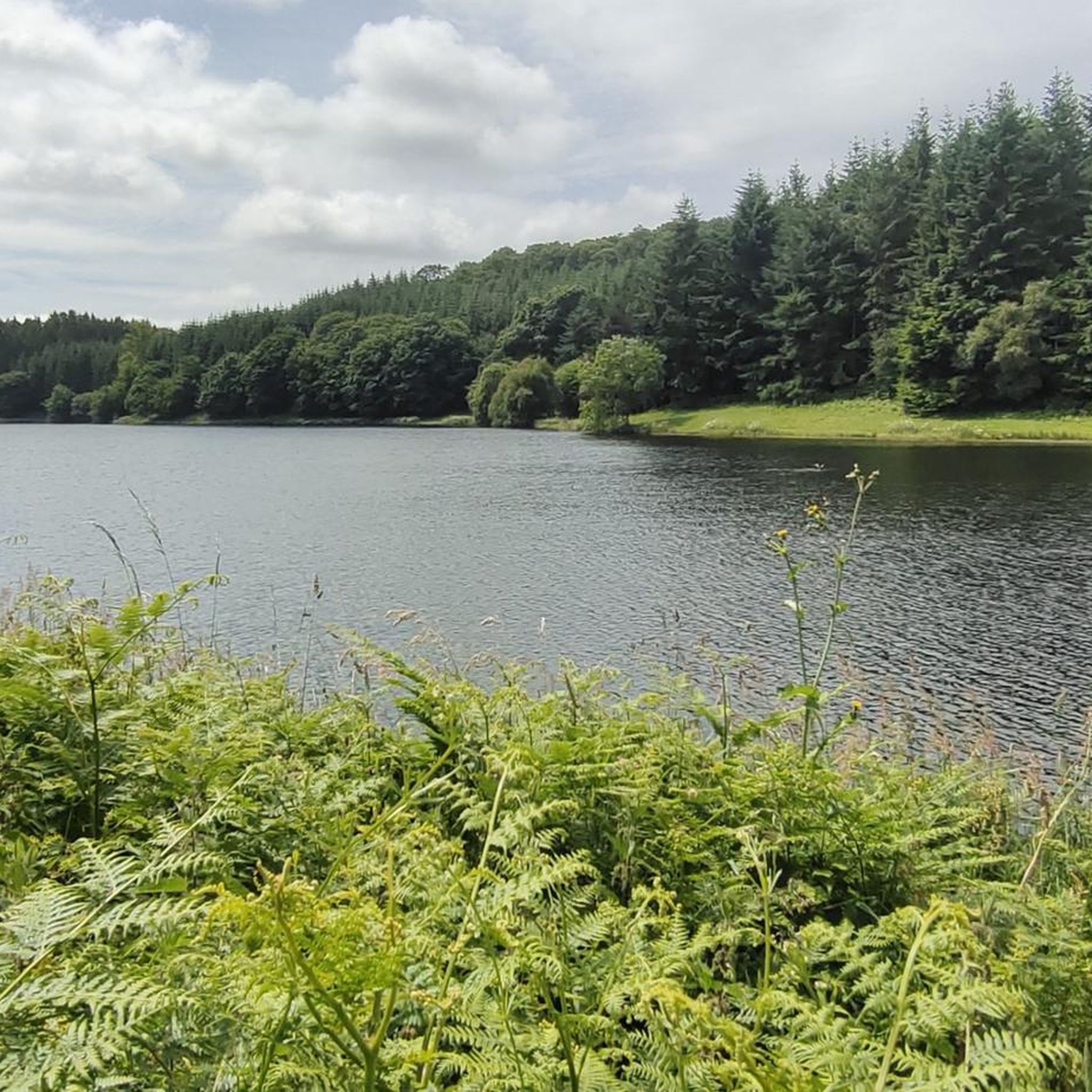
Road cycling around Clannaborough offers routes through a rural setting characterized by quiet country lanes and diverse landscapes within Devon. The area features varied terrain, including significant elevation changes as routes approach areas like the Blackdown Hills and the fringes of Dartmoor. Cyclists can expect a mix of well-paved surfaces and routes requiring good fitness, traversing exposed heathland, wooded trails, and river valleys. This region provides a blend of peaceful rural cycling and access to more rugged, adventurous terrain.
Best…
Last updated: October 13, 2026
29
riders
94.0km
04:10
720m
720m
Moderate road ride. Good fitness required. Mostly well-paved surfaces and easy to ride.
5.0
(1)
26
riders
Moderate road ride. Good fitness required. Some segments of this route may be unpaved and difficult to ride.

10
riders
68.3km
03:14
730m
730m
Moderate road ride. Good fitness required. Mostly well-paved surfaces and easy to ride.
5.0
(1)
11
riders
34.2km
01:32
300m
300m
Moderate road ride. Good fitness required. Mostly well-paved surfaces and easy to ride.
9
riders
37.9km
01:38
250m
250m
Easy road ride. Great for any fitness level. Mostly well-paved surfaces and easy to ride.
Get access to more routes and recommendations from other explorers.
Already have an account?
Our route recommendations are based on thousands of hikes, rides, and runs completed by other people on komoot.
Start today with a free account
Your next adventure awaits.


Tips from the Community

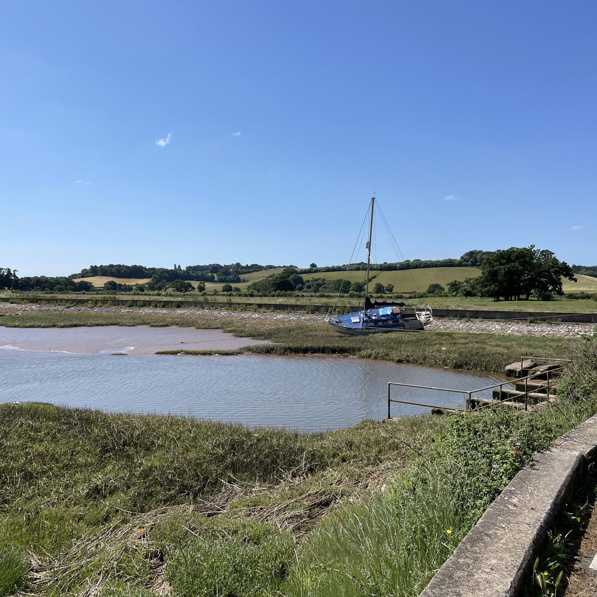
Super well-developed cycle path along the River Exe.
0
0


There's a few disabled parking spaces right on the Quay and the walks are all wheelchair user friendly, there's bus routes and train station all within a mile of the quay. If like me on your walk you like to re-stall your batteries and have a hot or cold drink there's lots of great pubs restaurants and little cafes on the Quay and they all welcome dogs, if you check out what's on in Exeter you might be lucky to see one of the many events they hold like morse dancing, the boat racing, mental health walk, the food festivals and many more, enjoy the ruins and history walks also.
0
0

Car park and numerous food outlets alongside the river perfect to spend a time to relax
1
0

Exeter Quay, also known as Exeter Quayside, is a district of Exeter on the River Exe and the Exeter Ship Canal. It was used as a port since prehistoric times, when a sandstone outcrop was used to unload the ships of overseas traders.[1] However, in 1381, the Countess Weir closed the river to shipping. In 1566, a canal was completed to allow ships access. Over time, the number of ships using the quay increased, and so the quay was extended in the late 17th century. Further extension took place in 1830 when a new canal basin was dug. However, in 1840, the railway reached Exeter, and shipping began to decline. The quay is no longer used for shipping, but mainly for recreational purposes.
2
0
lots to do along the Quay, saw ducks, swans great places to eat and drink, there are many different routes you can stay on a path or walk through mud path. wheelchair friendly the Quay got lots of history and gift shops
6
0

This cycleway travels along the Exeter Flood Relief Channel, which is a man-made waterway designed to help manage flood risks for the city of Exeter.
1
0

Brilliant stretch of canal path that leads out to Dawlish, the surface is great in most areas and any bike should be able to get around this path. However if you have a accessibility trike there are some narrow sections and bridge that might make this path very difficult to use.
0
0
Frequently Asked Questions
How many road cycling routes are available around Clannaborough?
There are nearly 100 road cycling routes available around Clannaborough. These routes offer a variety of experiences, from easy rides to more challenging ascents through Devon's diverse landscapes.
What is the general difficulty level of road cycling routes in Clannaborough?
The majority of road cycling routes around Clannaborough are classified as moderate, with 68 routes falling into this category. There are also 12 easy routes suitable for beginners or those seeking a relaxed ride, and 16 more challenging routes for experienced cyclists looking for significant elevation gains.
What kind of terrain can I expect on road cycling routes near Clannaborough?
Road cycling near Clannaborough is characterized by quiet country lanes and diverse rural landscapes. You'll encounter varied terrain, including well-paved surfaces, exposed heathland, wooded trails, and river valleys. Routes often feature significant elevation changes, particularly as you approach areas like the Blackdown Hills and the fringes of Dartmoor.
Are there any scenic viewpoints or natural features to see along the routes?
Yes, the region offers several natural features and viewpoints. You might encounter places like Fingle Bridge, Hunter’s Tor, or Sharp Tor (Teign Gorge), which provide stunning views. The Fisherman’s Path along the River Teign also offers picturesque scenery.
Are there any historical landmarks or attractions accessible by road bike?
Yes, you can incorporate historical sites into your rides. For example, Castle Drogo is a notable historical site within a reasonable cycling distance from Clannaborough, offering a cultural point of interest to explore.
Are there any circular road cycling routes around Clannaborough?
Many of the routes around Clannaborough are designed as loops, allowing you to start and finish in the same location. An example is the popular River Taw – Barnstaple Long Bridge loop from Morchard Road, which is a 57.6-mile moderate route.
What is the best time of year for road cycling in Clannaborough?
The best time for road cycling in Clannaborough is generally during the spring, summer, and early autumn months when the weather is milder and the days are longer. While winter cycling is possible, some of the narrow country lanes can be more challenging due to wet conditions or reduced visibility.
Are there any easy or beginner-friendly road cycling routes?
Yes, there are 12 easy routes available. A good option for an easier ride is The Tarka Line Grill – Eggesford Forest loop from Bow, which is a 23.5-mile trail often completed in about 1 hour 40 minutes.
What do other cyclists enjoy most about road cycling in Clannaborough?
The komoot community highly rates road cycling in Clannaborough, with an average score of 4.3 stars from over 15 reviews. Cyclists often praise the quiet country lanes, the diverse rural landscapes, and the varied elevation changes that offer a blend of peaceful rides and more adventurous terrain.
Are there options for longer, more challenging road cycling routes?
Yes, for those seeking a greater challenge, there are 16 difficult routes available. The region's proximity to Dartmoor and Exmoor means you can find routes with significant elevation gains and more rugged terrain, providing a demanding experience for advanced cyclists.
Can I find routes that pass by cafes or pubs for a stop?
While specific cafe or pub stops are not detailed for every route, the rural nature of Devon means many routes will pass through or near small villages and towns where you can find amenities. Planning your route in advance and checking for points of interest along the way is recommended.
Is public transport available to access road cycling routes near Clannaborough?
Clannaborough itself is a rural parish, but nearby towns like Crediton and Okehampton have public transport links, including train services. From these towns, you can often access the wider network of quiet country lanes that define the road cycling experience in the region.
Where can I find parking for road cycling in the Clannaborough area?
Given Clannaborough's rural setting, parking is typically available in nearby larger towns like Crediton or Okehampton, which serve as good starting points for many routes. When cycling from Clannaborough directly, you may find limited roadside parking or designated spots in smaller hamlets.
Most popular routes around Clannaborough
Most popular attractions around Clannaborough

Get inspired with the komoot mobile app


Explore more
Browse the best Road cycling routes in other regions.
