The best walks and hikes around New Alresford
4.6
(906)
6,504
hikers
48
hikes
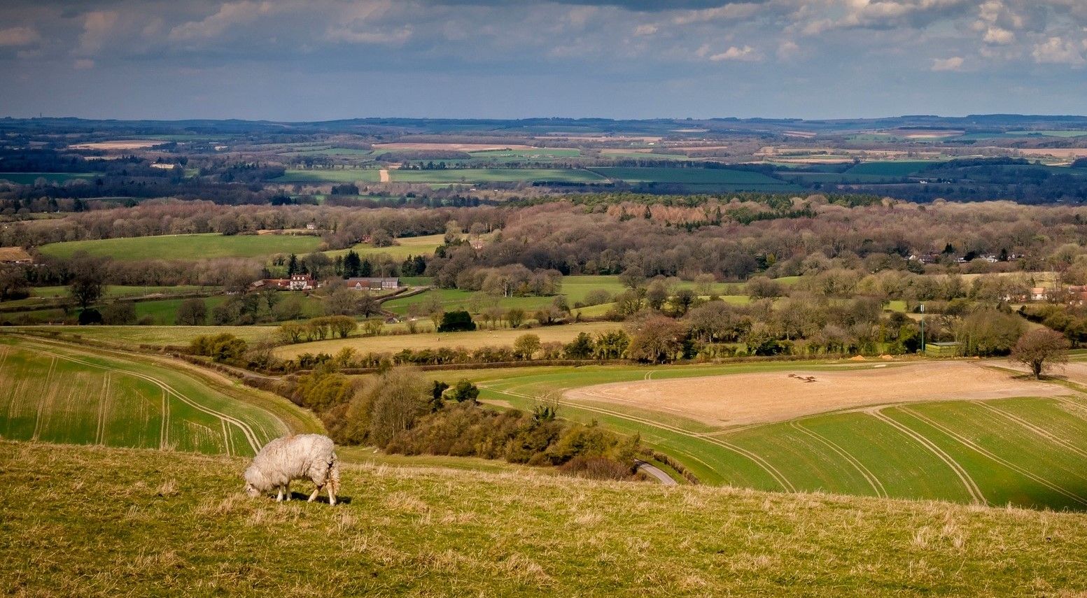
Hikes around New Alresford explore the Hampshire countryside, situated at the edge of the South Downs National Park. The landscape is defined by rolling chalk downland, ancient woodlands, and the clear chalk streams of the River Itchen and River Arle. The walking routes near New Alresford feature a mix of riverside paths, woodland trails, and open fields with gentle elevation changes.
Best hiking trails around New Alresford
- The most popular hiking route is New Alresford town centre – Overgrown Footpath loop from New Alresford, a 6.3 mile (10.1 km) trail that takes about 2 hours 40 minutes to complete. This route combines town paths with countryside footpaths through the surrounding fields.
- Another top favourite among local hiking enthusiasts is Footbridge on the Itchen Way – The Ford loop from New Alresford, a moderate 7.9 mile (12.8 km) path. The trail follows a section of the Itchen Way, offering views of water meadows and the river.
- Local hiking enthusiasts also love the Alresford Railway Station – New Alresford town centre loop from New Alresford, an 8.9 mile (14.3 km) trail leading through the area's characteristic rolling terrain, often completed in about 3 hours 50 minutes.
- Hiking around New Alresford is defined by clear chalk streams, rolling downland, and sections of the Watercress Way. The network of footpaths in the New Alresford area provides options for various fitness levels, from short riverside strolls to longer countryside hikes.
- The routes in New Alresford are highly rated by the komoot community with an average score of 4.7 stars from over 190 reviews. More than 1,300 hikers have used komoot to explore New Alresford's varied terrain.
Last updated: August 18, 2026
3.8
(5)
70
hikers
9.79km
02:37
110m
110m
Moderate hike. Good fitness required. Easily-accessible paths. Suitable for all skill levels.
4.7
(11)
35
hikers
Moderate hike. Good fitness required. Easily-accessible paths. Suitable for all skill levels.

Sign up for free
5.0
(2)
38
hikers
Easy hike. Great for any fitness level. Easily-accessible paths. Suitable for all skill levels.
16
hikers
8.14km
02:11
100m
100m
Moderate hike. Good fitness required. Easily-accessible paths. Suitable for all skill levels.
4.0
(1)
10
hikers
5.29km
01:24
50m
50m
Easy hike. Great for any fitness level. Easily-accessible paths. Suitable for all skill levels.
Get access to more routes and recommendations from other explorers.
Sign up for free
Already have an account?
Our route recommendations are based on thousands of hikes, rides, and runs completed by other people on komoot.
Start today with a free account
Your next adventure awaits.
Login or Signup


Other adventures around New Alresford

Tips from the Community

Nice town, broad streets, easy to park bike. Plenty of nice benches to sit at without going into a cafe. St John the Baptist church is worth visiting and I enjoyed corporal refreshment in the nearby Coffee #1,
0
0
Open when I passed late morning on a Saturday in May 2026. Lovely church, which was probably the ecclesiastical highlight of my Camino Inglés. I particularly liked the 'prayer tent' set up at the back of the church. Of note that this church is also on the Winchester - Canterbury pilgrim route, so it is a kind of spiritual crossroads.
0
0

The views across the river are amazing.
0
0

Nice walk or ride along past cress beds ( or what used to be cress beds) Over or through a ford with crystal clear water where I used to play as a child when visiting my Nan
0
0

Well worth the cycle. Lots of interesting views and not too busy.
0
0
Frequently Asked Questions
What do other hikers think of the trails around New Alresford?
The area is highly rated by the komoot community, with an average score of 4.7 stars. Reviewers often praise the beautiful chalk streams like the River Itchen and River Arle, the well-maintained footpaths through rolling countryside, and the mix of woodland and open field scenery.
Are there many circular walks starting from New Alresford?
Yes, many of the routes in the area are circular, allowing you to start and end in the same place without retracing your steps. A good example of a shorter circular route is the The Ford loop from New Alresford, which is just under 5 miles and explores the local countryside.
What are some good family-friendly walks around New Alresford?
For a short and easy walk suitable for the whole family, the New Alresford town centre loop is a great option. At just over a mile, it follows the tranquil River Arle and the Millennium Trail, offering a gentle introduction to the local scenery right from the town.
Are dogs welcome on the hiking trails?
Yes, the footpaths around New Alresford are generally dog-friendly. You'll find plenty of space for them to explore in the woodlands and open fields. However, be mindful that you will likely cross fields with livestock, so it's important to keep your dog on a lead in these areas.
Where can I park for hikes starting in New Alresford?
New Alresford has several public car parks in the town centre, which serve as convenient starting points for many local walks. For trails starting slightly further out, places like Abbotstone Down have their own small car parks, though these can fill up on sunny weekends.
Are there any long-distance trails that pass through New Alresford?
Yes, New Alresford is on the route of two major long-distance paths. The Itchen Way is a 31-mile trail following the river, and the Wayfarer's Walk is a 70-mile route crossing Hampshire's chalk downland. You can easily walk sections of these trails starting from the town.
How can I access the South Downs National Park from New Alresford?
New Alresford is located right at the northwestern edge of the South Downs National Park, making it an excellent gateway. Many local footpaths lead directly into the park's characteristic rolling chalk hills and ancient woodlands, so you can start a walk from town and be in the National Park within minutes.
What kind of wildlife might I see on the trails?
The area is rich in wildlife, especially along the crystal-clear chalk streams of the River Itchen and River Arle. Keep an eye out for kingfishers, egrets, and swans. In the woodlands and downland, you might spot roe deer, foxes, and various birds of prey like red kites and buzzards.
When is the best time of year to hike in New Alresford?
Hiking is enjoyable year-round. Spring brings wildflowers to the meadows and woodlands, while summer offers long days to explore the South Downs. Autumn provides stunning colours in the forests, and crisp winter days can offer clear, far-reaching views across the frosty landscape.
How many hiking trails are available around New Alresford?
There are nearly 50 curated hiking routes to explore around New Alresford on komoot. These range from easy riverside strolls to more challenging hikes through the rolling hills of the South Downs, offering plenty of options for all fitness levels.
What are some popular places for hiking near New Alresford?
Besides the trails starting in town, there are several highly-regarded spots nearby that are popular with hikers.
- Abbotstone Down: Known for its Iron Age earthworks, woodland trails, and great views across the downland.
- Micheldever Woods: A local favourite, especially for its peaceful forest walks among tall beech trees.
- Meon Valley Trail: A flat and accessible 10-mile path along a former railway line, ideal for a straightforward walk or cycle.
Can I combine a walk with a trip on the Watercress Line steam railway?
Absolutely. The heritage Watercress Line runs between Alresford and Alton. You can take a nostalgic steam train journey and then explore the scenic countryside on foot. The Alresford Railway Station – New Alresford town centre loop is a great route that starts and finishes near the station.
Most popular routes around New Alresford
Most popular attractions around New Alresford

Get inspired with the komoot mobile app


Explore more
Browse the best Hikes in other regions.
