The best running trails around Persenbeug-Gottsdorf
126
runners
17
runs
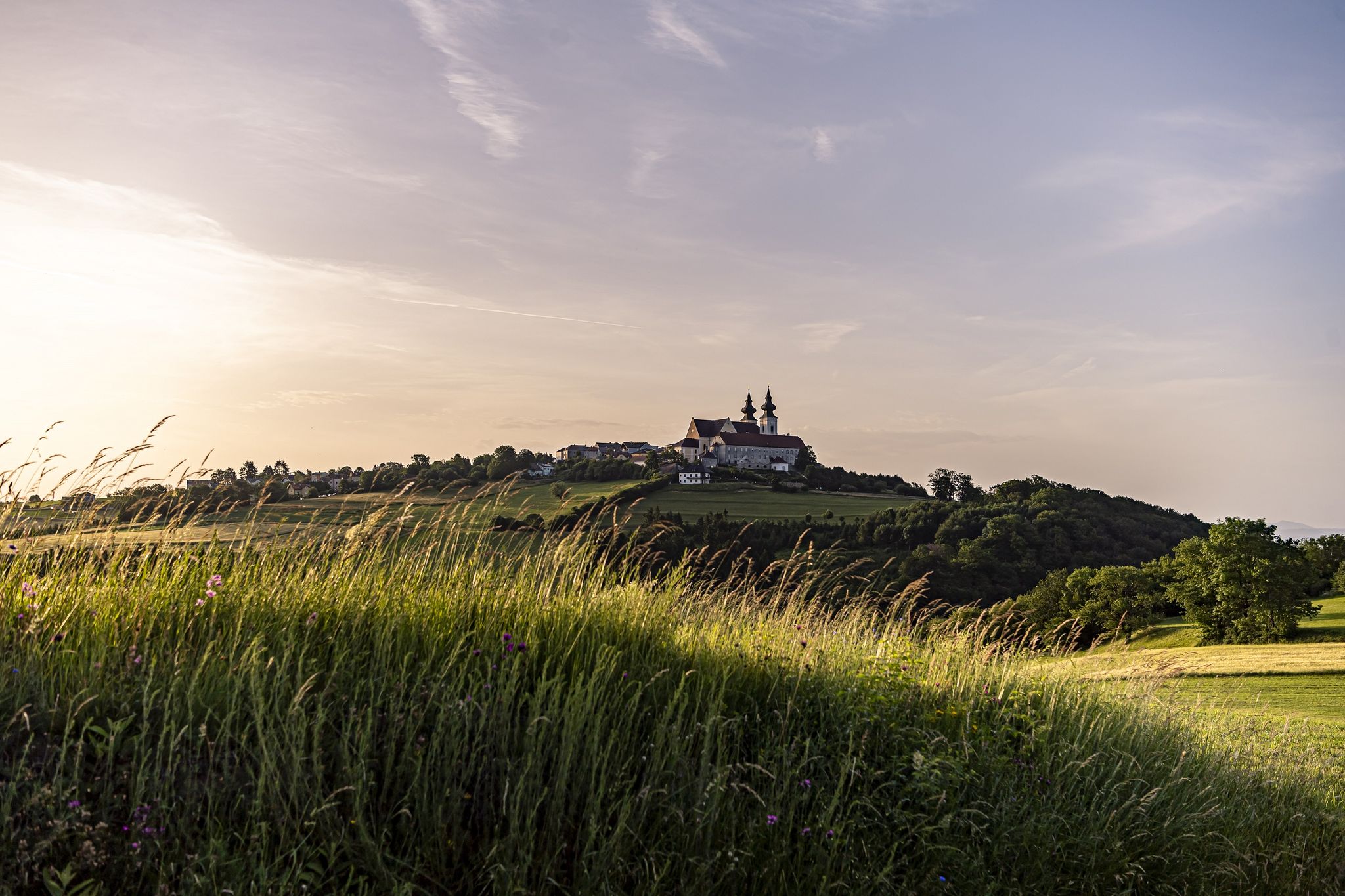
Jogging around Persenbeug-Gottsdorf offers diverse landscapes, situated at the entrance to the Nibelungengau on the left bank of the Danube. The region features well-maintained paths along the Danube River and extends into the forested areas of the Waldviertel. Runners can find varied terrain, from flat riverside routes to trails with inclines and descents through woodlands and hills.
Best jogging routes around Persenbeug-Gottsdorf
- The most popular jogging route is Protected Old Tree loop from Persenbeug-Gottsdorf, a 6.2 miles (9.9 km)…
Last updated: July 1, 2026
16
runners
6.12km
00:38
20m
20m
Moderate run. Good fitness required. Mostly paved surfaces. Suitable for all skill levels.
9
runners
5.18km
00:32
10m
10m
Moderate run. Good fitness required. Mostly paved surfaces. Suitable for all skill levels.

Sign up for free
11
runners
7.27km
00:45
20m
20m
Moderate run. Good fitness required. Mostly paved surfaces. Suitable for all skill levels.
5
runners
9.89km
01:03
100m
100m
Moderate run. Good fitness required. Mostly paved surfaces. Suitable for all skill levels.
8
runners
8.56km
00:54
50m
50m
Moderate run. Good fitness required. Mostly paved surfaces. Suitable for all skill levels.
Get access to more routes and recommendations from other explorers.
Sign up for free
Already have an account?
Our route recommendations are based on thousands of hikes, rides, and runs completed by other people on komoot.
Start today with a free account
Your next adventure awaits.
Login or Signup
Popular around Persenbeug-Gottsdorf



Tips from the Community

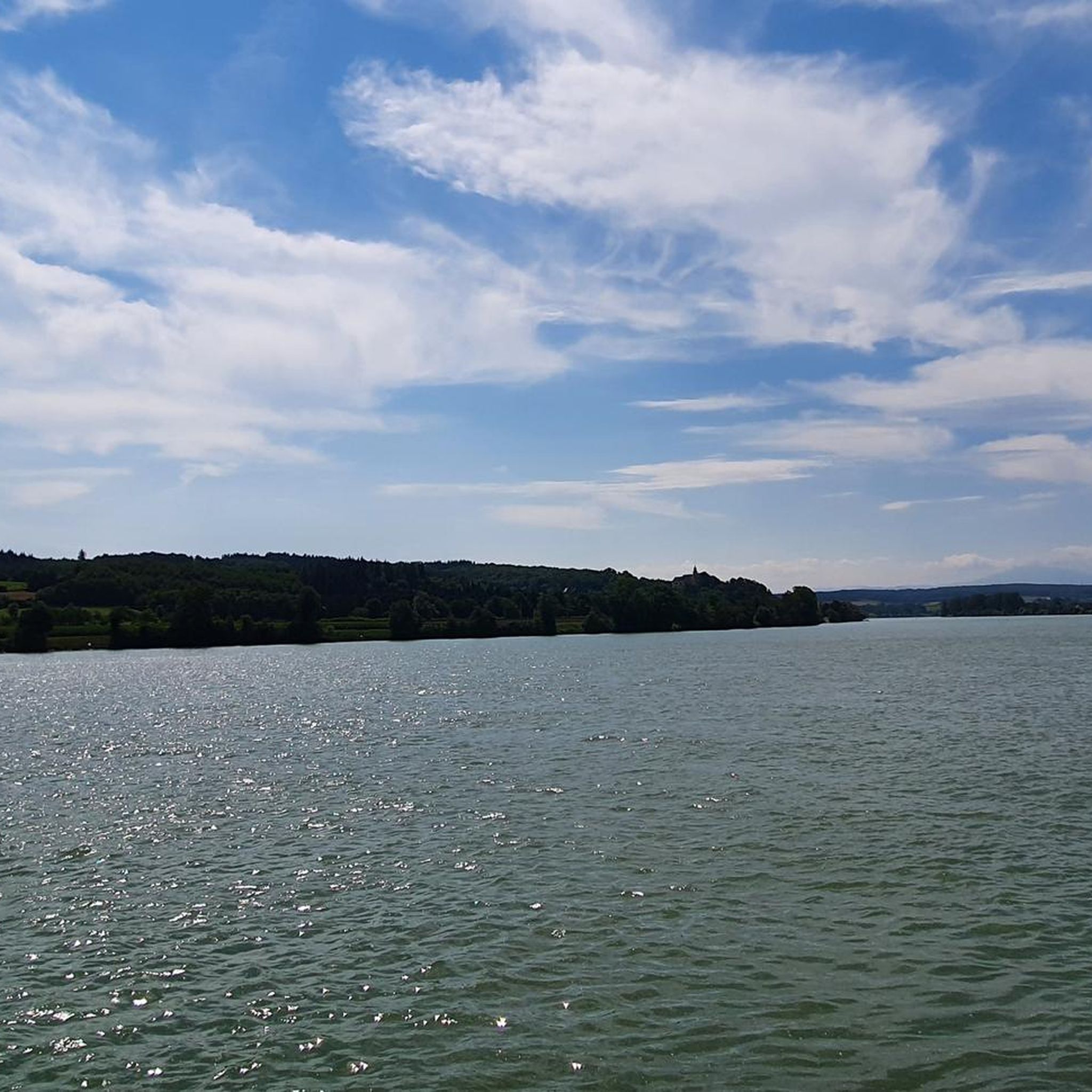
The Danube Cycle Path offers a particularly beautiful view of the city and the Alps. The Danube meanders picturesquely through the landscape here, while the Alps can be seen in the background on a clear day. Greinburg Castle and the old town lend the panorama a historical charm, making this section of the cycle path one of the most impressive.
0
0

Here you have a beautiful view of the mountains in the distance.
2
0

The small alleys ("Hauptstraße") around the town hall square already have a "Wachau flair" 😉
0
0
An impressive, over 600-year-old linden tree, declared a natural monument in 1989. Right next to it is the Café zur Linde, very fitting.
6
0
The Danube Loop (formerly also known as the Böse Beuge) is located between Ybbs an der Donau and Gottsdorf in Lower Austria. The loop lies at the beginning of the Nibelungengau region. Within the Danube Loop lies the so-called Scheibe (also known as the Gottsdorfer Scheibe), which is covered with gravel. The Danube Loop extends from Persenbeug, which derives its name from the "Böse Beuge" (Evil Bend), to Gottsdorf. Until the 18th century, rocks protruded into the shipping lane. Some of these rocks were blasted between 1770 and 1780, but contact with the subsoil still occurred. The riverbed was only leveled with the construction of the Ybbs-Persenbeug power plant. Flood protection measures were further improved at the beginning of the 3rd millennium. A very beautiful section of this route, through a magnificent landscape. Well-developed, paved, and easy to navigate. Gentle climbs and descents are present along this stretch. Just cycle in a relaxed manner and capture the beautiful impressions.
8
0
An impressive, over 600-year-old lime tree that was declared a natural monument in 1989. Right next door is the Café zur Linde, very fitting.
4
0

A mighty tree, has already "experienced" a lot
1
0

Super great and well-kept tree in the middle of town.
3
0
Frequently Asked Questions
How many running routes are available in Persenbeug-Gottsdorf?
There are over 15 dedicated jogging routes around Persenbeug-Gottsdorf listed on komoot, offering a variety of distances and terrains for all fitness levels.
What kind of terrain can I expect on the jogging trails around Persenbeug-Gottsdorf?
The region offers a diverse mix of terrain. You'll find well-maintained, flat paths along the Danube River, perfect for a steady run. Further inland, routes extend into the forested areas of the Waldviertel, featuring varied terrain with inclines and descents through woodlands and hills.
Are there easy running routes suitable for beginners in the area?
Yes, Persenbeug-Gottsdorf has several easy running routes. The Danube Cycle Path, for instance, provides a comfortable and easy-to-navigate route with minimal elevation changes, ideal for beginners or those seeking a relaxed run.
What is the typical length of running routes in Persenbeug-Gottsdorf?
The running routes in Persenbeug-Gottsdorf vary in length. Many popular routes, such as the Protected Old Tree loop from Persenbeug-Gottsdorf, are around 6 miles (10 km), while others can be shorter or longer depending on your preference.
Are there any circular running routes in Persenbeug-Gottsdorf?
Yes, many of the running routes in the area are circular, allowing you to start and finish at the same point. Examples include the Schloss Persenbeug loop from Persenbeug-Gottsdorf and the Protected Old Tree – Alpine view loop from Persenbeug-Gottsdorf.
What natural features or landmarks can I see while jogging in Persenbeug-Gottsdorf?
You can enjoy picturesque views of the Danube River, especially along the Danube Cycle Path, which also offers glimpses of attractions like Maria Taferl. Routes like the Schloss Persenbeug loop pass by the historic Persenbeug Castle. You might also encounter forested areas and elevated viewpoints offering panoramic views of the Danube Valley and the Alpine foothills.
Are there running routes with good viewpoints in the region?
Absolutely! The region is known for its elevated viewpoints. The Protected Old Tree – Alpine view loop from Persenbeug-Gottsdorf, for example, offers rewarding views of the Danube Valley and the Alpine foothills. The Peilsteiner Sonnenplatzl Viewpoint is another notable spot for scenic vistas.
Are the jogging routes in Persenbeug-Gottsdorf suitable for families?
Yes, many routes, especially those along the Danube Cycle Path, are relatively flat and well-maintained, making them suitable for families. These paths offer a safe and enjoyable environment for a family run or walk.
Can I bring my dog on the running trails?
Generally, dogs are welcome on many of the trails in Persenbeug-Gottsdorf, especially in the forested areas and along the Danube. However, it's always advisable to keep your dog on a leash and be mindful of local regulations and other trail users.
What do other runners enjoy most about jogging in Persenbeug-Gottsdorf?
Runners frequently praise the diverse landscapes, from the scenic Danube riverside paths to the tranquil forested trails of the Waldviertel. The variety of terrain, the historical landmarks like Persenbeug Castle, and the elevated viewpoints offering stunning vistas are often highlighted as key attractions.
Are there any challenging running routes for experienced runners?
Yes, beyond the flat riverside paths, the forested areas extending into the Waldviertel offer more challenging routes with significant inclines and descents. These trails provide a good workout for experienced runners looking for varied terrain and elevation changes.
Is there parking available near the running trails?
While specific parking information varies by route, Persenbeug-Gottsdorf generally offers parking options within the town and at various trailheads. It's recommended to check the route details on komoot for specific parking recommendations for your chosen running path.
What is the best time of year for running in Persenbeug-Gottsdorf?
The region is beautiful year-round, but spring and autumn offer particularly pleasant conditions with mild temperatures and vibrant scenery. Summer is also great, especially for early morning or late evening runs, while winter can provide unique snowy landscapes for those prepared for colder weather.
Most popular routes around Persenbeug-Gottsdorf
Most popular attractions around Persenbeug-Gottsdorf

Get inspired with the komoot mobile app


Explore more
Browse the best Running Trails & Routes in other regions.
