The best walks and hikes around North Fambridge
4.5
(326)
2,484
hikers
177
hikes
Hikes around North Fambridge explore the flat coastal landscape of the Dengie Peninsula. The region is characterized by its proximity to the River Crouch, creating a unique saltmarsh environment rich with wildlife. Most routes follow riverside paths and cross open farmland, making the area accessible for a wide range of walking abilities.
Best hiking trails around North Fambridge
- The most popular hiking route is the Purleigh Mount loop from Stow Maries, a 5.8 mile (9.3 km) trail that takes around 2 hours 25 minutes to complete. This moderate route features gentle ascents through the Essex countryside.
- Another top favourite among local hiking enthusiasts is the View of Fenn Creek loop from South Woodham Ferrers, an easy 3.8 mile (6.1 km) path. The trail is mostly flat and offers views across the local waterways.
- Local hiking enthusiasts also love the Purleigh Mount loop from Purleigh, a 6.3 mile (10.1 km) trail leading through farmland and fields, often completed in about 2 hours 40 minutes.
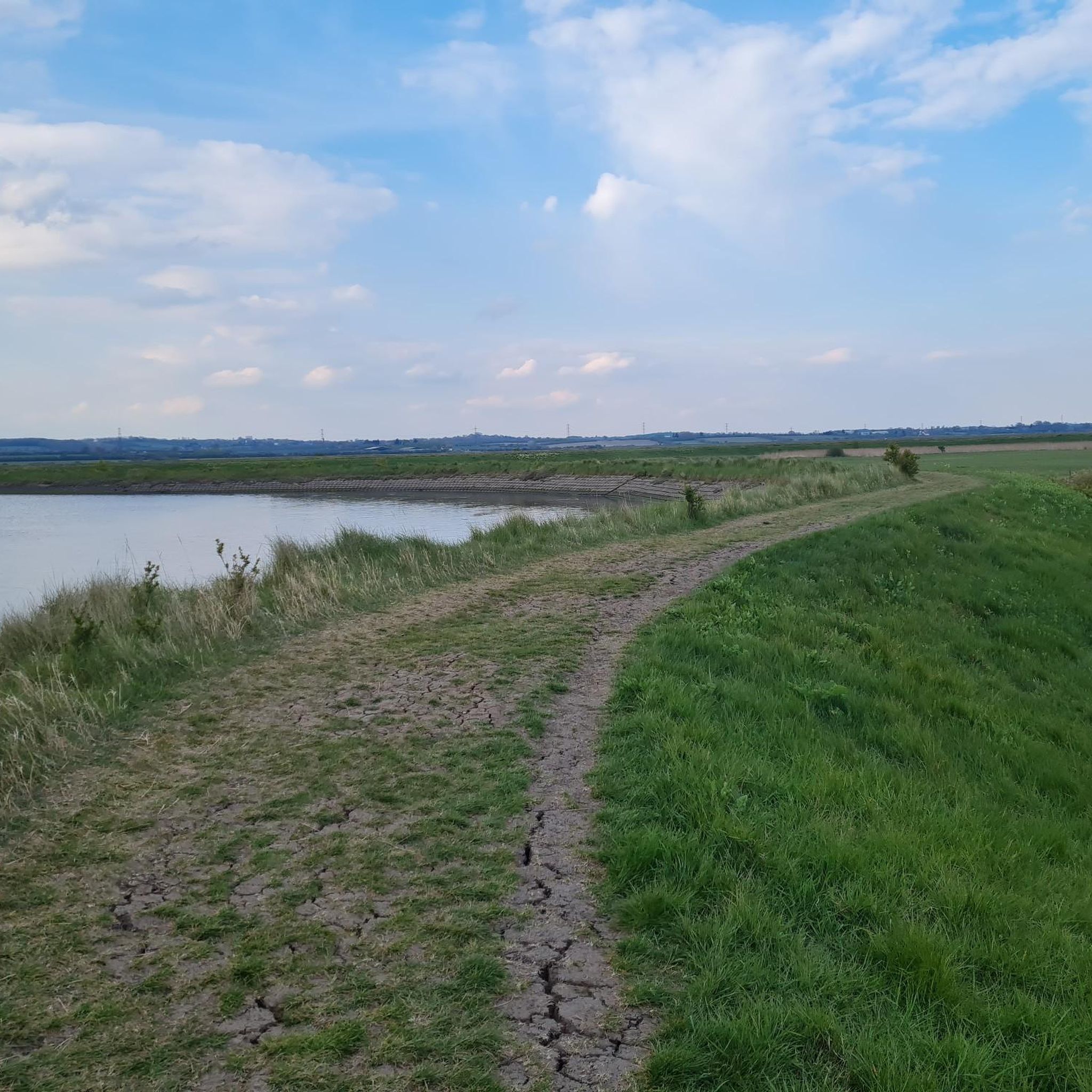
- Hiking around North Fambridge is defined by riverside paths along the River Crouch, coastal saltmarshes, and walks through open farmland. The network of trails offers both easy, level routes and more moderate options with some elevation.
- The routes in North Fambridge are highly rated by the komoot community with an average score of 4.6 stars from over 300 reviews. More than 2,700 hikers have used komoot to explore North Fambridge's varied terrain.
Last updated: July 5, 2026
4.5
(2)
8
hikers
9.29km
02:27
80m
80m
Moderate hike. Good fitness required. Easily-accessible paths. Suitable for all skill levels.
12
hikers
Easy hike. Great for any fitness level. Easily-accessible paths. Suitable for all skill levels.

Sign up for free
9
hikers
Easy hike. Great for any fitness level. Easily-accessible paths. Suitable for all skill levels.
4.0
(1)
5
hikers
10.1km
02:42
110m
110m
Moderate hike. Good fitness required. Easily-accessible paths. Suitable for all skill levels.
4.5
(2)
5
hikers
Moderate hike. Good fitness required. Easily-accessible paths. Suitable for all skill levels.
Get access to more routes and recommendations from other explorers.
Sign up for free
Already have an account?
Our route recommendations are based on thousands of hikes, rides, and runs completed by other people on komoot.
Start today with a free account
Your next adventure awaits.
Login or Signup



Tips from the Community

It's great for walking or cycling. Saturday mornings there is a regular park run event. Sadly the mobile cafe no longer sites at the car park after the council refused them further permissions.
0
0

Beautiful views across the River Crouch and Fenn Creek. Sold footpaths along the circular route that is just over 10km.
1
0

Any pub that has a Blackadder-themed sign automatically gets ⭐️⭐️⭐️⭐️⭐️. The Prince Regent is on the sign, so maybe the landlord is a Mr E. Blackadder Esq., Mr S. Baldrick is the cellar boy and the cook is Mrs Miggins (just don't order the Scarlet Pimpernel Sauce).
0
0

Close to Stow Maries (former Halt) nature reserve.
0
0
Don't be put off entering THE AIRFIELD... the footpath is marked, just outside the boundary.
0
0

Nice view across the river to Hullbridge.
0
0

At weekends there is a nice mobile coffee bar in the car park.
0
0

Frequently Asked Questions
How many hiking trails are there around North Fambridge?
There are over 190 hiking routes to explore around North Fambridge, ranging from easy riverside strolls to more moderate countryside loops. The vast majority are rated as easy or moderate, making the area very accessible.
What do other hikers enjoy about the North Fambridge area?
The area is highly rated by the komoot community, with an average score of 4.6 stars. Hikers often praise the peaceful riverside paths along the River Crouch, the expansive views across the saltmarshes, and the abundance of wildlife, especially in the nature reserves.
Are there many easy, flat walks suitable for beginners?
Yes, the region is known for its flat terrain, especially along the river. There are over 100 easy-rated hikes. A great option is the View of Fenn Creek loop from South Woodham Ferrers, which is a mostly flat path offering lovely views over the local waterways.
What is a good walk for the whole family?
For a shorter, family-friendly outing, the Hiking loop from South Woodham Ferrers is an excellent choice. It's just over 2 miles (3.4 km) long and very flat, making it manageable for walkers of all ages.
Can I bring my dog on the trails?
Dogs are welcome on most public footpaths around North Fambridge. However, you will be walking through farmland with livestock and sensitive nature reserves. Always keep your dog on a lead in these areas, especially at Blue House Farm Nature Reserve to protect ground-nesting birds and other wildlife.
Where is the best place for wildlife and birdwatching?
The Blue House Farm Nature Reserve is a paradise for wildlife enthusiasts. Managed by the Essex Wildlife Trust, it's a key habitat for wading birds, wildfowl like brent geese in winter, and water voles. The reserve has its own walking trails and bird hides for optimal viewing.
Are there any good pub walks in the area?
Yes, combining a walk with a pub visit is very popular here. The Ferry Boat Inn in North Fambridge is a common starting and finishing point for many routes. You could tackle a section of the River Crouch path and end your walk with a refreshing drink at this classic riverside pub.
How can I get to the walking trails using public transport?
North Fambridge has its own train station with services on the Crouch Valley Line. This makes it easy to do linear walks, such as hiking from North Fambridge to Burnham-on-Crouch or Althorne and then taking the train back.
What is the terrain like on the hikes?
Most trails follow level riverside sea walls and footpaths across open farmland. The terrain is generally flat, but some paths, particularly those along the river, can become very muddy and slippery after rainfall, so waterproof footwear is recommended.
Are there any longer, more challenging hikes available?
For those seeking more of a challenge, the Purleigh Mount loop from Purleigh offers a longer route of over 6 miles (10 km) with some gentle ascents. It takes you through varied scenery including farmland and quiet country lanes.
What are the best viewpoints of the River Crouch?
Many trails offer fantastic views. For a wide-open perspective across the water towards Fambridge, try the View of Fambridge loop from South Woodham Ferrers. The sea wall paths leading towards Burnham-on-Crouch also provide continuous, stunning views of the estuary and its birdlife.
Most popular attractions around North Fambridge

Get inspired with the komoot mobile app


Explore more
Browse the best Hikes in other regions.
