The best running trails around Hohenthurn
4.4
(45)
3,202
runners
186
runs
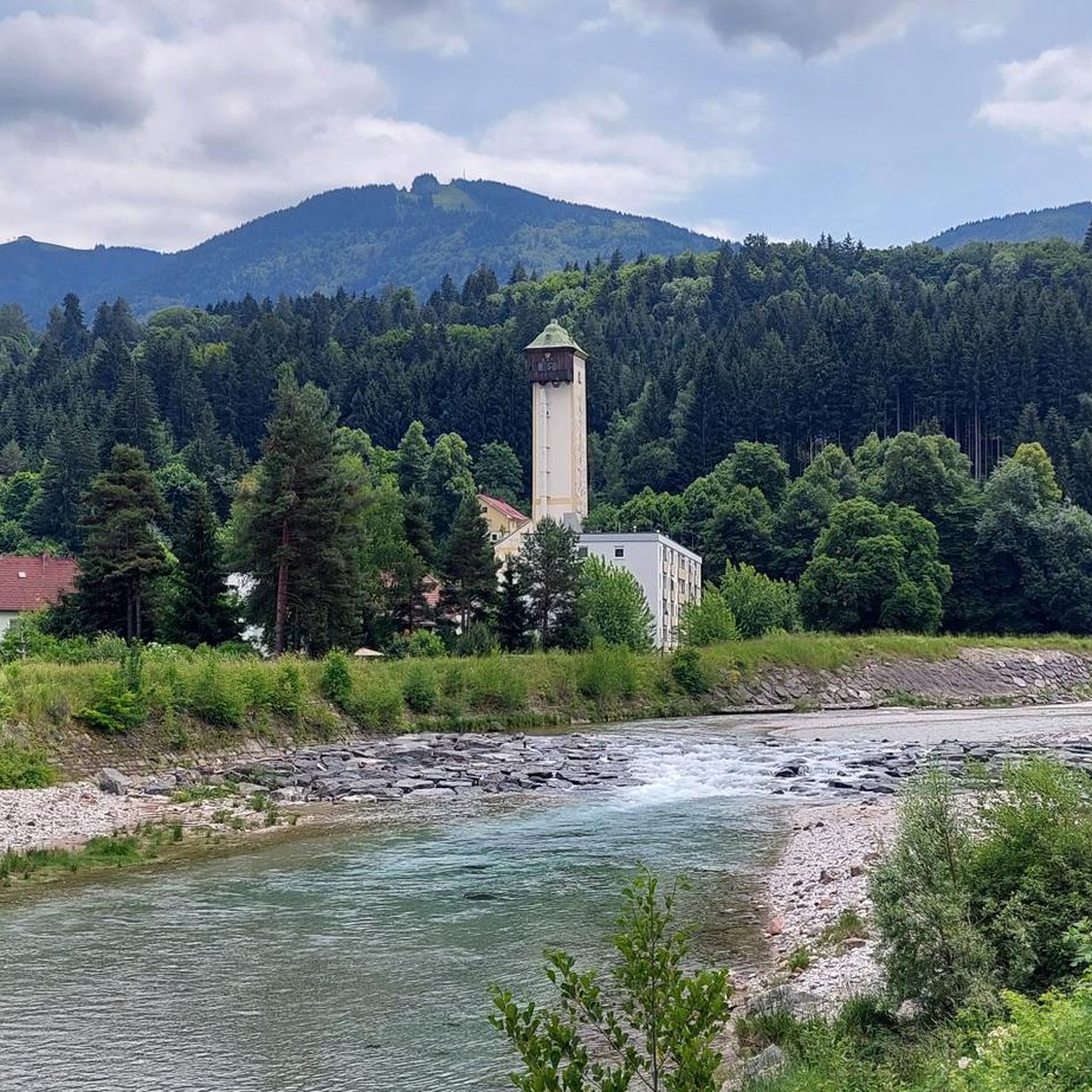
Jogging routes around Hohenthurn are set within the diverse landscapes of the Gail River valley and the Carnic Alps in Carinthia, Austria. The region offers relatively flat terrains along the Gail River, suitable for gentle runs, while the northern slopes of the Carnic Alps provide opportunities for more challenging routes with significant elevation gain. Prominent natural features include the expansive Dobratsch Nature Park and the Three Countries Corner, offering varied terrain and viewpoints for runners.
Best jogging routes around Hohenthurn
…Last updated: October 8, 2026
32
runners
5.99km
00:37
20m
20m
Moderate run. Good fitness required. Mostly paved surfaces. Suitable for all skill levels.
26
runners
7.13km
00:45
50m
50m
Moderate run. Good fitness required. Mostly paved surfaces. Suitable for all skill levels.

21
runners
19.3km
02:09
340m
340m
Hard run. Very good fitness required. Mostly paved surfaces. Suitable for all skill levels.
18
runners
Hard run. Very good fitness required. Mostly paved surfaces. Suitable for all skill levels.
5.0
(1)
13
runners
13.8km
02:13
800m
800m
Hard run. Very good fitness required. Sure-footedness, sturdy shoes and alpine experience required.
Get access to more routes and recommendations from other explorers.
Already have an account?
Our route recommendations are based on thousands of hikes, rides, and runs completed by other people on komoot.
Start today with a free account
Your next adventure awaits.

Tips from the Community

…here there are not only cycle and hiking paths but also some nice swimming spots
0
0

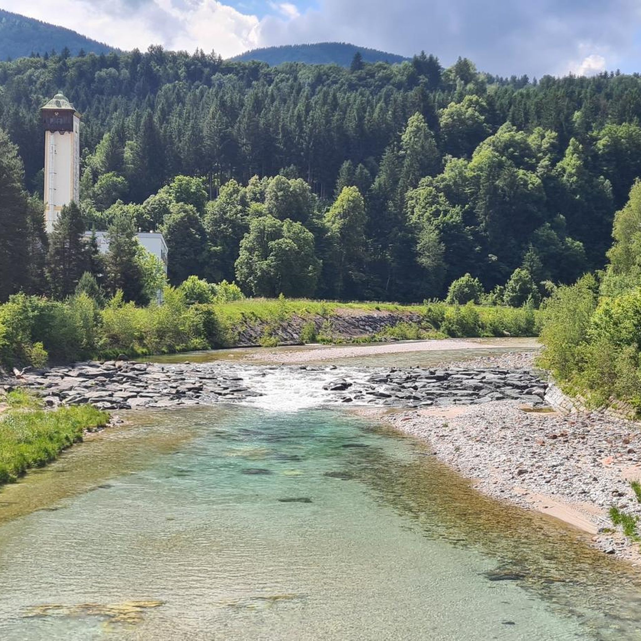
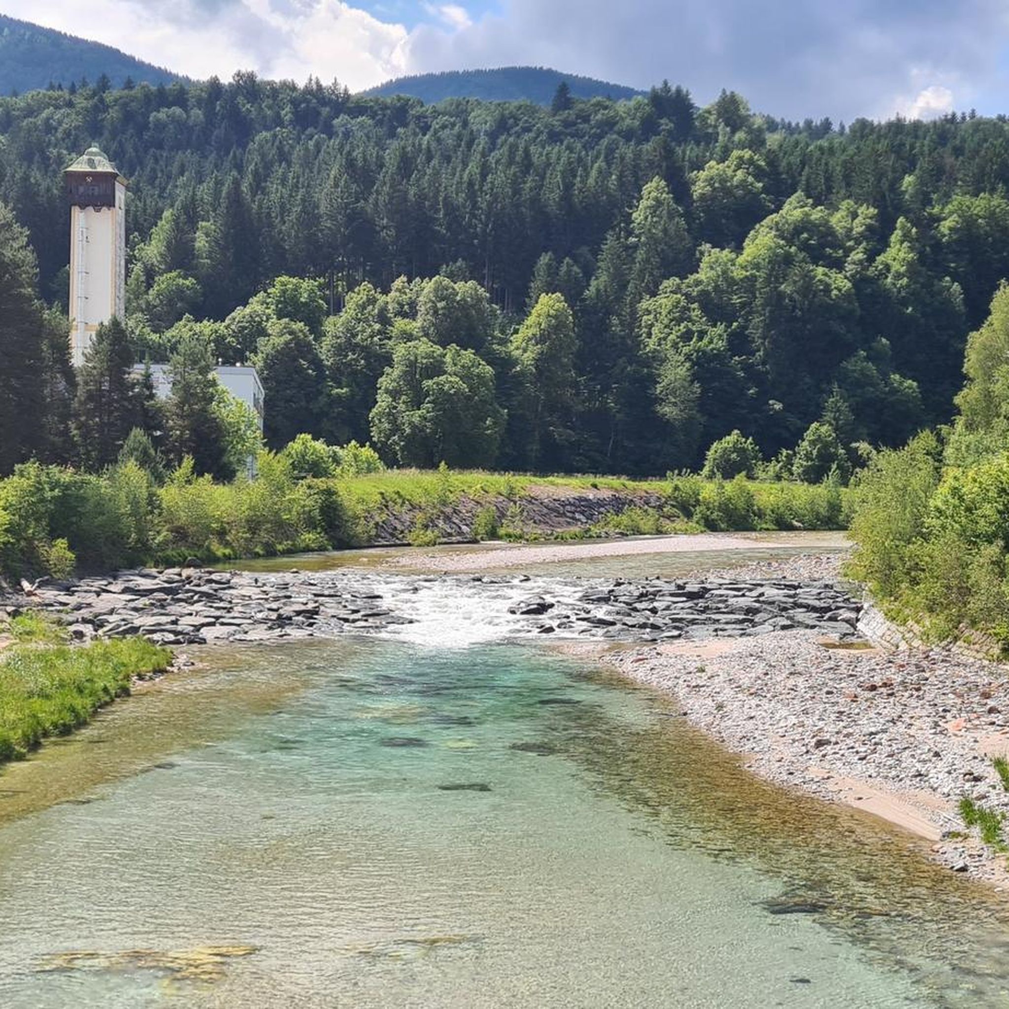
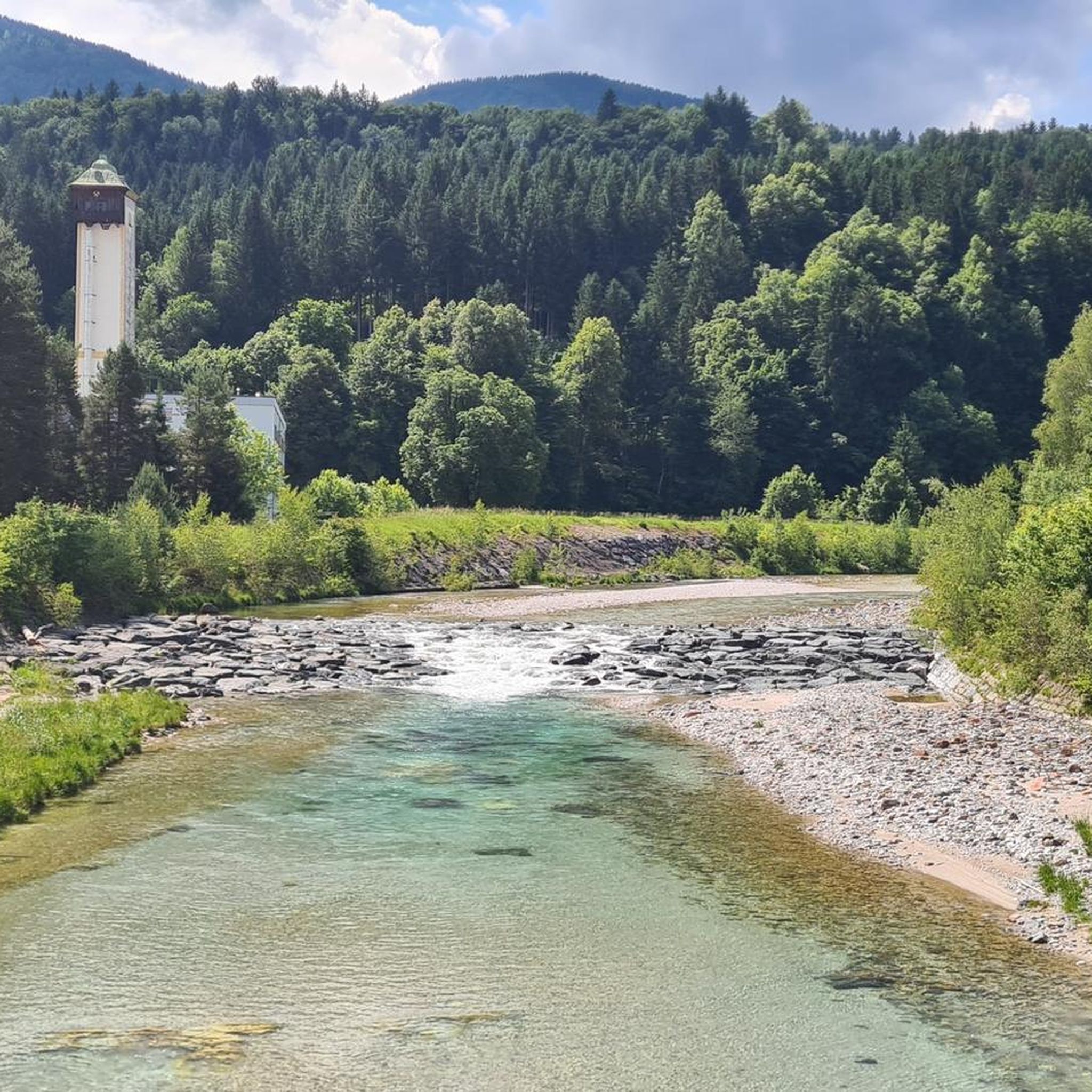
The Schütt impresses with its rock formations, the crystal-clear waters of the Gail, and its untouched nature, attracting many who seek tranquility.
2
0
…a very well-developed cycle path with many beautiful views and great places to stop for a break!
2
0
…a very well-developed cycle path with many beautiful views and great places to stop for a break!
2
0
…very well-developed cycle path with many nice places to stop for a break 🚴♂️☕️😋
4
0
…very well-developed cycle path with many nice places to stop for a break 🚴♂️☕️😋
3
0
…very well-developed cycle path with many nice places to stop for a break 🚴♂️☕️😋
3
0

Magnificent. You have a great view of the mountains and the valley and whoever wants to, it's actually a must, stops at the Dreiländereck hut and enjoys the food.
0
0
Frequently Asked Questions
What types of running routes can I find in Hohenthurn?
Hohenthurn offers a diverse range of running routes. You'll find relatively flat, paved paths ideal for gentle runs along the Gail River in the Gailtal valley. For those seeking more challenge, the northern slopes of the Carnic Alps provide routes with significant elevation gain and panoramic views. The expansive Dobratsch Nature Park also offers varied terrain, from accessible paths to more demanding mountain trails.
Are there any easy running routes suitable for beginners or a relaxed jog?
Yes, Hohenthurn has several easy options. The Gailtal valley floor features mostly paved and relatively flat paths perfect for gentle runs. A good example is the Running loop from Arnoldstein, which is an easy 4.8 km route with moderate elevation, taking about 31 minutes to complete.
Where can I find running routes with significant elevation gain for a more challenging workout?
For a more challenging run with elevation, head towards the Carnic Alps. The Arnoldstein Castle loop from Arnoldstein is a moderate 9.6 km route that includes a notable 276 meters of elevation gain, offering a good workout and scenic views.
Are there any circular running routes in the Hohenthurn area?
Many of the running routes in Hohenthurn are designed as loops, offering convenient circular options. For instance, the Paved Path Near Flugplatz loop from Nötsch is an 8.7 km circular route, and the Lisi's Mountain Farm loop from Arnoldstein is a 7.1 km loop with scenic views.
What kind of natural features or landmarks can I expect to see while running?
The region is rich in natural beauty and historical sites. You can enjoy views of the majestic Carnic Alps, the tranquil Gail River, and the expansive Dobratsch Nature Park. For historical landmarks, consider routes near the Arnoldstein Monastery Ruins or the Federaun Ruins. If you're interested in waterfalls, the Arnoldstein Waterfall is also nearby.
Are there any running routes that offer great viewpoints?
Absolutely. The northern slopes of the Carnic Alps provide routes with breathtaking panoramic views. The View of Dobratsch – Picnic Area at Modellflugplatz loop from Nötsch is an 18.3 km route that specifically highlights views of the Dobratsch mountain, offering stunning vistas during your run.
How many running routes are available in Hohenthurn?
There are nearly 80 dedicated running routes around Hohenthurn, catering to various fitness levels and preferences. This includes 5 easy routes, 38 moderate routes, and 35 difficult routes, ensuring there's something for everyone.
What do other runners say about the jogging routes in Hohenthurn?
The running routes in Hohenthurn are highly regarded by the komoot community, with an impressive average rating of 4.8 stars from over 15 reviews. Runners often praise the varied terrain, from the flat paths along the Gail River to the challenging mountain trails, and the beautiful scenic views of the Carnic Alps and Dobratsch Nature Park.
Can I combine my run with a visit to a mountain hut or cafe?
While specific cafes directly on routes aren't detailed, the region is known for its numerous "Almhütten" (mountain huts). These provide excellent opportunities to rest and enjoy local cuisine amidst nature, often found along or near many of the trails in the Carnic Alps and Dobratsch Nature Park.
Are there any sections of the Alpe Adria Cycle Route suitable for jogging?
Yes, sections of the well-developed Alpe Adria Cycle Route, which follows an old railway line, can be utilized by joggers. It offers flat, well-maintained surfaces and picturesque surroundings, making it a great option for a steady, scenic run.
What is the best time of year for running in Hohenthurn?
Hohenthurn offers great running conditions throughout much of the year. Spring and autumn provide pleasant temperatures and vibrant scenery, ideal for exploring both valley and mountain trails. Summer is also excellent, especially for higher-altitude routes in the Carnic Alps or Dobratsch Nature Park where temperatures are cooler. Winter running is possible, particularly on the flatter, maintained paths in the valley, though some mountain trails may require specific gear or be inaccessible due to snow.
Most popular routes around Hohenthurn
Most popular attractions around Hohenthurn

Get inspired with the komoot mobile app


Explore more
Browse the best Running Trails & Routes in other regions.
