The best cycling routes around Lurgashall
4.5
(130)
1,738
riders
252
rides
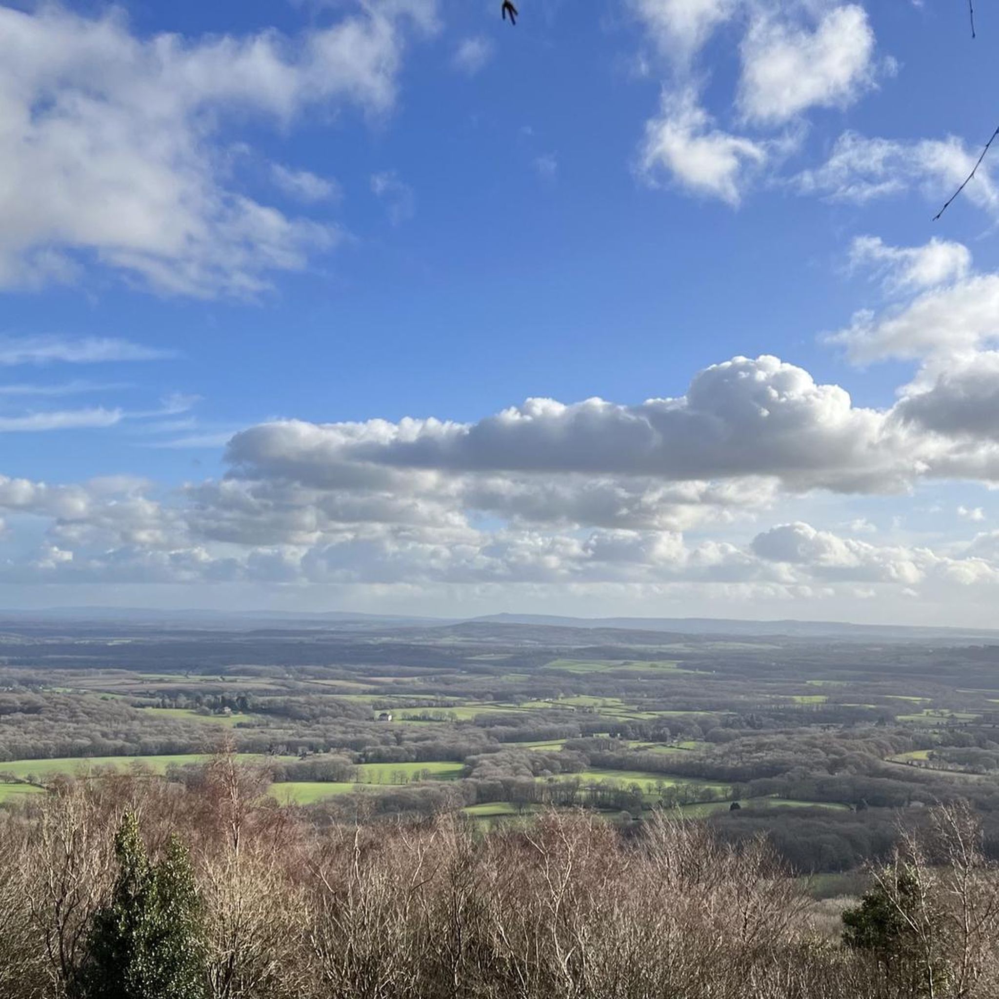
Touring cycling around Lurgashall is characterized by its location within the South Downs National Park, featuring rolling chalk hills, sweeping valleys, and extensive woodlands. The area includes significant natural features such as Blackdown, the highest point in West Sussex, and the wetland habitats of Burton Mill Pond. The River Lod Valley adds diverse habitats with wet woodlands and wildflower-rich grasslands. This landscape provides varied terrain for touring cyclists.
Best touring cycling routes around Lurgashall
- The most popular touring cycling route…
Last updated: June 23, 2026
5.0
(2)
11
riders
60.7km
03:45
540m
540m
Hard bike ride. Very good fitness required. Mostly paved surfaces. Suitable for all skill levels.
5.0
(2)
14
riders
39.3km
02:35
500m
500m
Hard bike ride. Very good fitness required. Mostly paved surfaces. Suitable for all skill levels.

Sign up for free
35
riders
94.8km
06:10
1,220m
1,220m
Hard bike ride. Very good fitness required. Mostly paved surfaces. Suitable for all skill levels.
29
riders
51.2km
04:09
670m
670m
Hard bike ride. Very good fitness required. You may need to push your bike for some segments of this route.
4.7
(6)
15
riders
23.9km
01:35
300m
300m
Hard bike ride. Good fitness required. You may need to push your bike for some segments of this route.
Get access to more routes and recommendations from other explorers.
Sign up for free
Already have an account?
Our route recommendations are based on thousands of hikes, rides, and runs completed by other people on komoot.
Start today with a free account
Your next adventure awaits.
Login or Signup
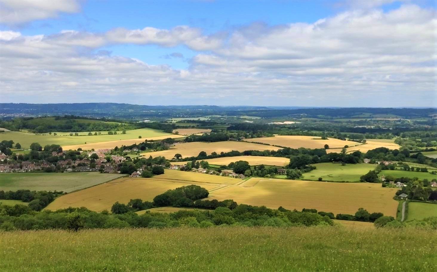
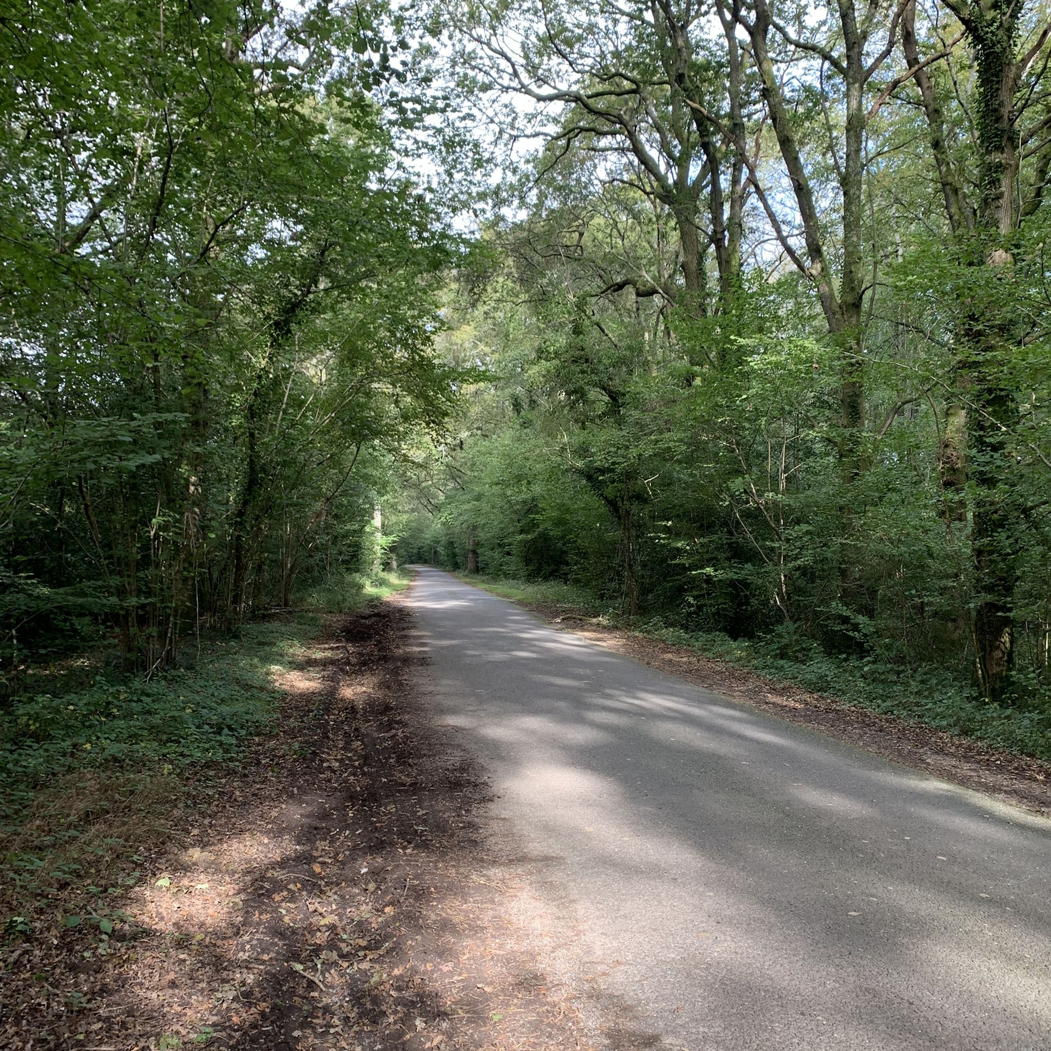
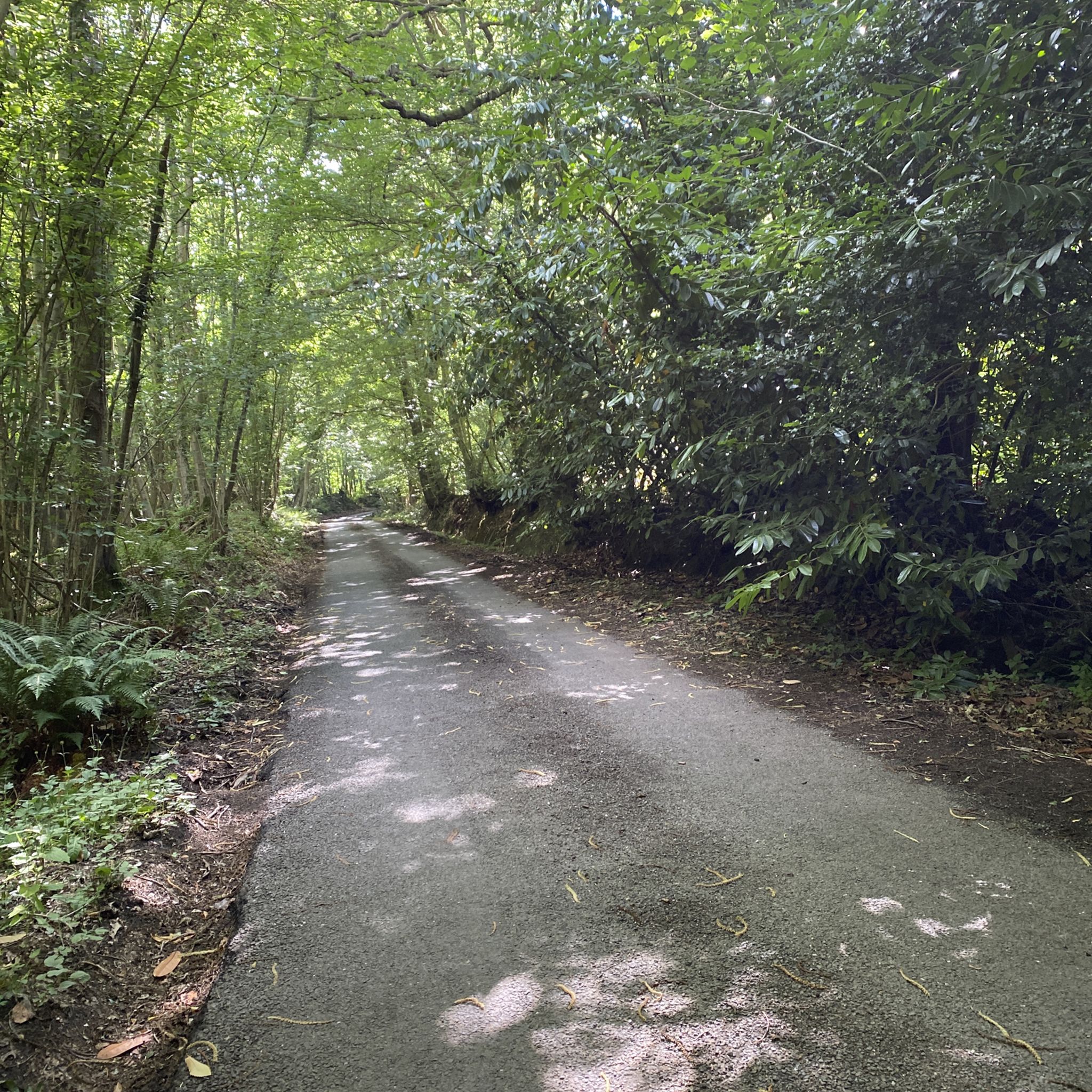
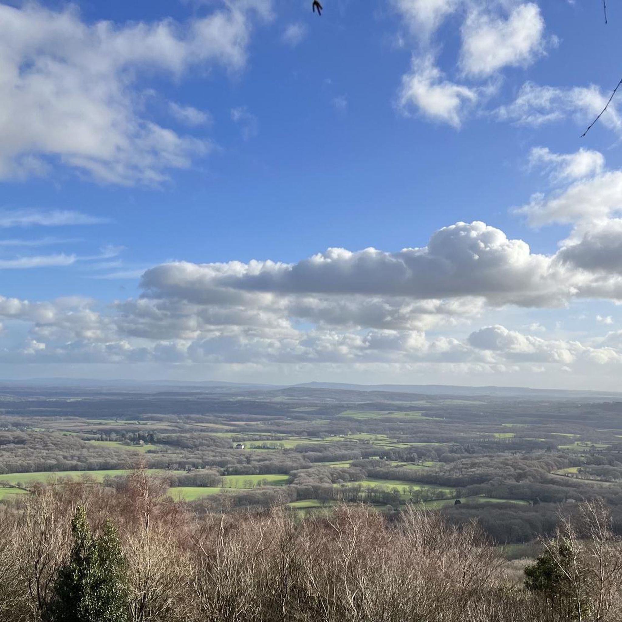
Other adventures around Lurgashall

Tips from the Community

Hindhead Commons is a sprawling, 282-hectare nature reserve in Surrey, managed by the National Trust. Designated as a Site of Special Scientific Interest (SSSI) and part of the Surrey Hills National Landscape, it represents one of the region's most ecologically valuable and historically dramatic landscapes. The Landscape: Sitting roughly 250 meters above sea level, it features a rare, cooler microclimate that supports a rich mosaic of ancient woodland, valleys, and vibrant lowland heath. This habitat is a lifeline for threatened wildlife, including Exmoor ponies, adders, and rare ground-nesting birds like the nightjar. The Devil's Punch Bowl: This massive, spring-eroded sandstone amphitheater dominates the eastern side of the commons, offering sweeping views that stretch all the way to the London skyline on clear days. The Great Transformation: For decades, Hindhead Commons was physically severed in two by the roar of the old A3 highway. Following the construction of the Hindhead Tunnel directly beneath the common in 2011, the old road surface was completely removed, allowing nature to heal and creating peaceful, car-free trails for walkers and cyclists.
0
0
The Sailor’s Stone marks the 1786 murder spot of an anonymous mariner on the historic Portsmouth Road. Nearby trails ascend to Gibbet Hill, the second-highest point in Surrey, where his killers were executed. The summit delivers endless vistas, stretching past the North Downs all the way to London.
0
0
At the top of Highcombe Copse, along Highcombe Edge, the ancient woodland gives way to a breezy ridge. Here stands the granite Robertson Memorial obelisk, overlooking a sweeping, panoramic view of the Devil’s Punch Bowl. It marks a peaceful resting point before trails descend steeply into the valley.
0
0
Beyond the main trails, a maze of quiet, sandy bridleways and sunken lanes rings the Devil's Punch Bowl. These single-track routes connect to nearby Thursley Common, offering mountain bikers peaceful, technical terrain away from hikers.
0
0
Gibbet Hill is the second-highest point in Surrey, offering an extraordinary viewpoint that stands out within the Devil’s Punch Bowl landscape. Standing beside the historic Celtic cross, you look out over a breathtaking panoramic landscape of rolling hills, deep valleys, and open heathland. On crisp, clear days, the scenery opens up dramatically, allowing you to trace the horizon all the way to the iconic skyline of central London, miles to the northeast.
0
0
The old A3 road, which once choked the Devil’s Punch Bowl with traffic, has been transformed into a peaceful, paved walking and cycling trail. Following the 2011 tunnel bypass, nature reclaimed the tarmac, creating a scenic, accessible path that seamlessly connects visitors to the wider Surrey Hills network.
1
0

great gravel path. In my opinion an unexperienced cyclist could struggle a bit due to the sandy bits, i.e. my mum. In general super quite and great fund. I did it with a road bike - possible but not as much fun as with a gravel bike. In general, do not go on your road bike.
0
0

Good alternative to the main route but still a relatively easy walk.
0
0
Frequently Asked Questions
How many touring cycling routes are available around Lurgashall?
There are over 250 touring cycling routes around Lurgashall, offering a wide variety of options for different skill levels and preferences. These routes are highly rated by the komoot community, with an average score of 4.6 stars from over 120 reviews.
What kind of terrain can I expect on touring cycling routes in Lurgashall?
Lurgashall's touring cycling routes are primarily characterized by the diverse landscapes of the South Downs National Park. You'll encounter rolling chalk hills, sweeping valleys, and extensive woodlands. While many routes follow quiet country lanes, some, like sections of the iconic South Downs Way, can be rough, chalky, and muddy, making them more suitable for mountain bikes. Areas like Blackdown offer distinctive landscapes of wavy hair grass and pine trees.
Are there any easy touring cycling routes suitable for beginners in Lurgashall?
Yes, Lurgashall offers a good selection of easier routes. Out of over 250 routes, 43 are classified as easy, providing a gentler introduction to touring cycling in the area. These routes often traverse through woodlands and wildflower meadows, offering a more leisurely experience.
What are some challenging touring cycling routes near Lurgashall?
For experienced touring cyclists seeking a challenge, Lurgashall has several difficult routes. The View from Harting Down – South Harting village loop from Haslemere is a demanding 59.2-mile trail with significant elevation changes. Another challenging option is the Puttenham Village – Devil's Punch Bowl Bike Trail loop from Haslemere, covering over 51 miles with substantial climbs.
What natural features and landmarks can I see along the touring cycling routes?
Lurgashall's routes are rich in natural beauty and historical landmarks. You can cycle past significant natural features like Burton Mill Pond, known for its vital wetland habitats, and explore areas around Blackdown, the highest point in West Sussex. The River Lod Valley offers diverse habitats with wet woodlands and wildflower-rich grasslands. Nearby attractions include the historic Cowdray Heritage Ruins and the charming Midhurst Town Centre.
Are there any circular touring cycling routes around Lurgashall?
Yes, many of the touring cycling routes around Lurgashall are circular, allowing you to start and end your ride in the same location. For example, the Midhurst loop from Haslemere is a popular circular route offering expansive views across the South Downs National Park. Another option is the Northchapel and Plaistow loop from Blackdown Hill.
What is the best time of year to go touring cycling in Lurgashall?
The South Downs National Park, where Lurgashall is located, is beautiful year-round. Spring and summer offer pleasant weather for cycling through wildflower meadows and enjoying longer daylight hours. Autumn brings stunning foliage to the woodlands. While winter cycling is possible, be aware that some unpaved sections, especially on routes like the South Downs Way, can become muddy and challenging due to wet weather.
Are there family-friendly touring cycling routes in the Lurgashall area?
Yes, the Lurgashall area offers family-friendly cycling options. While specific routes are not detailed here, the region's network includes more leisurely paths through woodlands and wildflower meadows. The relatively flat Downs Link trail and the smooth, traffic-free Centurion Way, though a short distance away, are excellent choices for families looking for easier rides.
Where can I find places to eat or drink along the cycling routes?
Lurgashall and its surrounding villages offer charming spots for refreshments. The historic Noah's Ark Inn in Lurgashall village, dating back to 1557, is a welcoming stop. The Three Moles pub is known for being cycle-friendly and provides dedicated parking for cyclists. You'll find various cafes and pubs in nearby villages, perfect for a break during your ride.
Is there parking available for cyclists in Lurgashall?
Yes, parking is generally available in and around Lurgashall. For instance, Petworth House and Park, a National Trust property nearby, offers ample parking with dedicated spaces for cyclists. Many villages and trailheads within the South Downs National Park also provide parking facilities, though it's always advisable to check specific locations in advance.
Can I reach Lurgashall's cycling routes using public transport?
Public transport options to Lurgashall and the surrounding South Downs National Park are available, though they may require some planning. West Sussex has bus services connecting villages, and some train stations in nearby towns (like Haslemere) offer access points to the wider cycling network. It's recommended to check the specific public transport provider's policy regarding bikes before planning your journey.
Are there any specific viewpoints or scenic spots I should look out for?
Absolutely. The region is renowned for its expansive views. Blackdown, the highest point in West Sussex, offers rewarding vistas over the Weald. Routes like the Devil's Punch Bowl Cycle Path loop from Haslemere provide scenic panoramas. Additionally, Hydon's Ball Summit, a prominent hilltop in the nearby Surrey Hills, offers expansive views and opportunities for wildlife spotting.
Most popular attractions around Lurgashall

Get inspired with the komoot mobile app


Explore more
Browse the best Cycling routes in other regions.
