The best running trails in Bezirk Oberwart
4.6
(100)
1,605
runners
194
runs
Jogging routes in Bezirk Oberwart traverse a landscape characterized by rolling hills, expansive forests, and vineyards in Austria's Burgenland region. The terrain offers a mix of gentle paths and more challenging ascents, including the area around Geschriebenstein, the highest point in Burgenland. Many running routes follow well-maintained trails, including former railway lines converted into smooth paths. The district's natural features provide diverse settings for outdoor activities.
Best jogging routes in Bezirk Oberwart
- The most popular jogging route is Reiters Golf Course Straight loop from Bad Tatzmannsdorf, a 3.8 miles (6.0 km) trail that takes about 39 minutes to complete. This route offers a well-maintained path through the golf course area.
- Another top favourite among local runners is Reiters Golf Course Straight – Café Simon loop from Bad Tatzmannsdorf, a moderate 6.8 miles (11.0 km) path. This longer loop provides varied scenery, potentially passing local amenities.
- Local runners also love the Viewing Platform loop from Bad Tatzmannsdorf, a 6.3 miles (10.1 km) trail leading through varied terrain, often completed in about 1 hour 7 minutes. This route offers scenic viewpoints along the way.
- Jogging in Bezirk Oberwart is defined by rolling hills, dense forests, and converted railway paths like the Bahntrassen-Radweg. The network offers options for different ability levels, from easy, flat runs to more challenging routes with elevation gain.
- The routes in Bezirk Oberwart are highly rated by the komoot community with an average score of 4.7 stars from over 80 reviews. More than 1500 runners have used komoot to explore Bezirk Oberwart's varied terrain.
Last updated: June 26, 2026
4.2
(9)
75
runners
6.03km
00:39
60m
60m
Moderate run. Good fitness required. Mostly paved surfaces. Suitable for all skill levels.
4.4
(7)
65
runners
10.1km
01:04
120m
120m
Moderate run. Good fitness required. Mostly paved surfaces. Suitable for all skill levels.

Sign up for free
5.0
(3)
44
runners
10.1km
01:06
190m
190m
Moderate run. Good fitness required. Mostly paved surfaces. Suitable for all skill levels.
5.0
(3)
38
runners
6.74km
00:44
100m
100m
Moderate run. Good fitness required. Mostly paved surfaces. Suitable for all skill levels.
5.0
(2)
34
runners
5.85km
00:38
100m
110m
Moderate run. Good fitness required. Mostly paved surfaces. Suitable for all skill levels.
4.0
(1)
34
runners
8.01km
00:50
70m
70m
Moderate run. Good fitness required. Mostly paved surfaces. Suitable for all skill levels.
4.5
(2)
21
runners
8.90km
01:01
170m
170m
Moderate run. Good fitness required. Mostly paved surfaces. Suitable for all skill levels.
4.0
(2)
25
runners
6.18km
00:39
70m
70m
Moderate run. Good fitness required. Mostly paved surfaces. Suitable for all skill levels.
5.0
(2)
20
runners
7.35km
00:49
100m
100m
Moderate run. Good fitness required. Mostly paved surfaces. Suitable for all skill levels.
5.0
(1)
19
runners
5.10km
00:32
30m
30m
Moderate run. Good fitness required. Mostly paved surfaces. Suitable for all skill levels.
Get access to more routes and recommendations from other explorers.
Sign up for free
Already have an account?
Our route recommendations are based on thousands of hikes, rides, and runs completed by other people on komoot.
Start today with a free account
Your next adventure awaits.
Login or Signup
Popular around Bezirk Oberwart
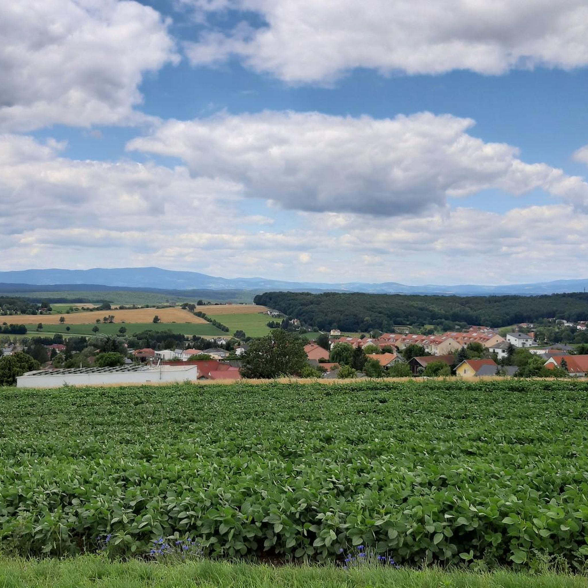
Running Trails around Bad Tatzmannsdorf
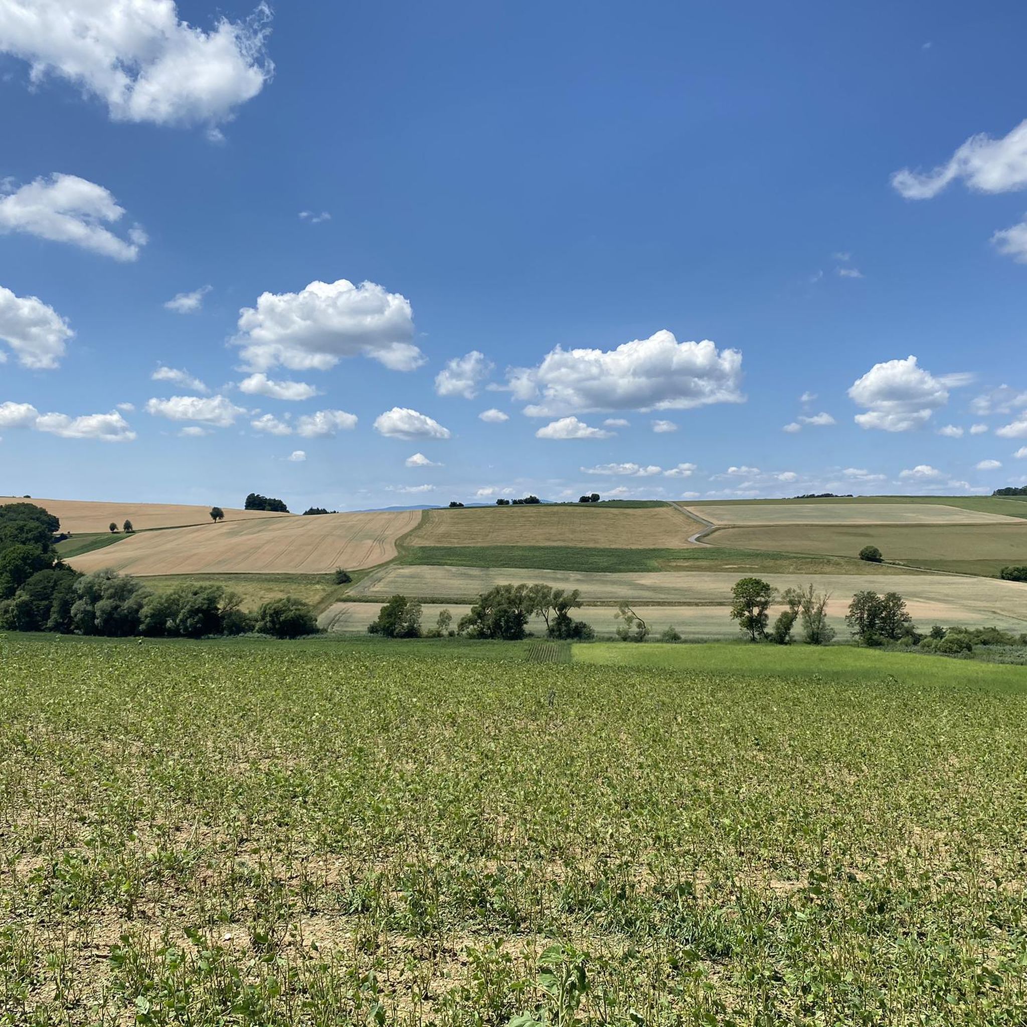
Running Trails around Mariasdorf
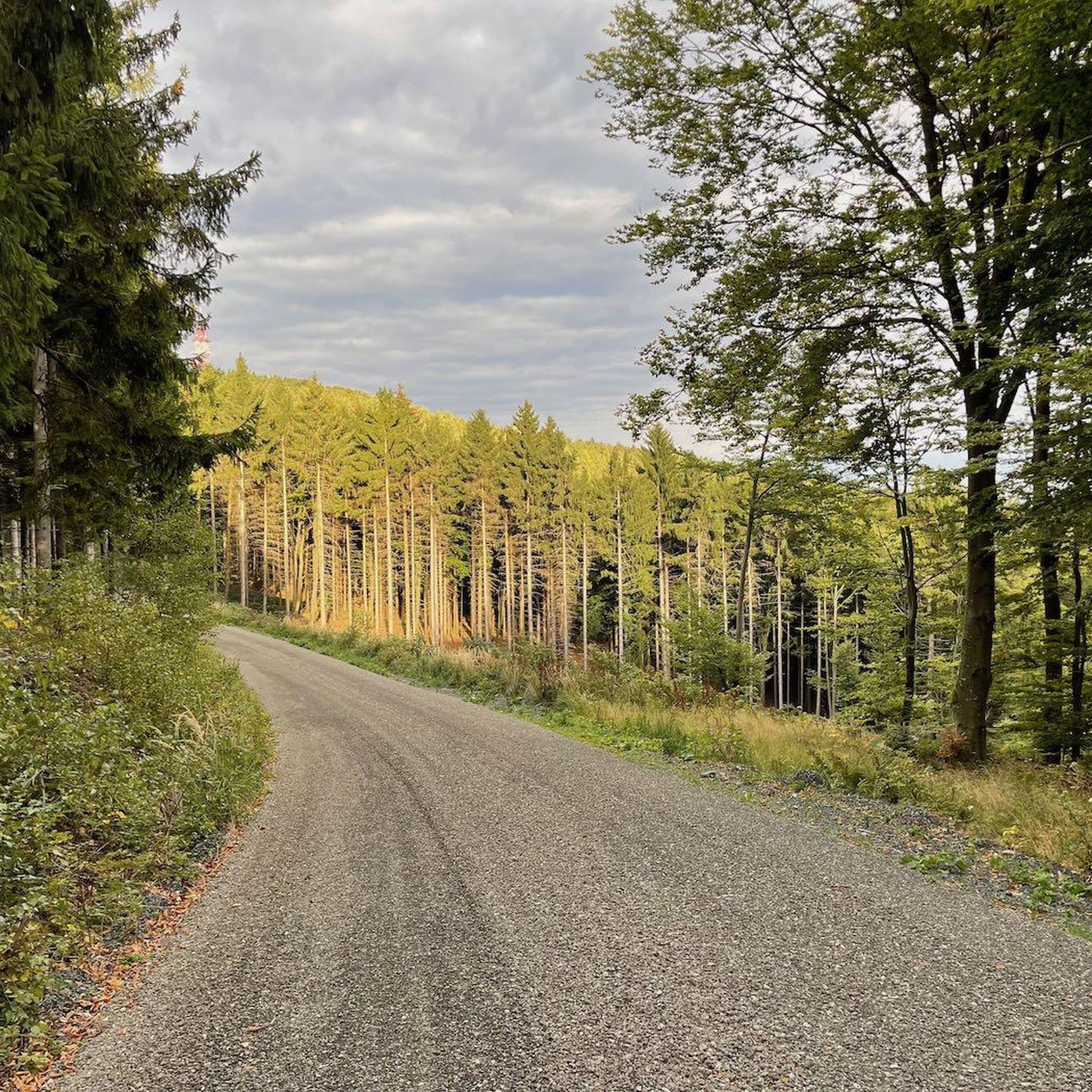
Running Trails around Weiden bei Rechnitz
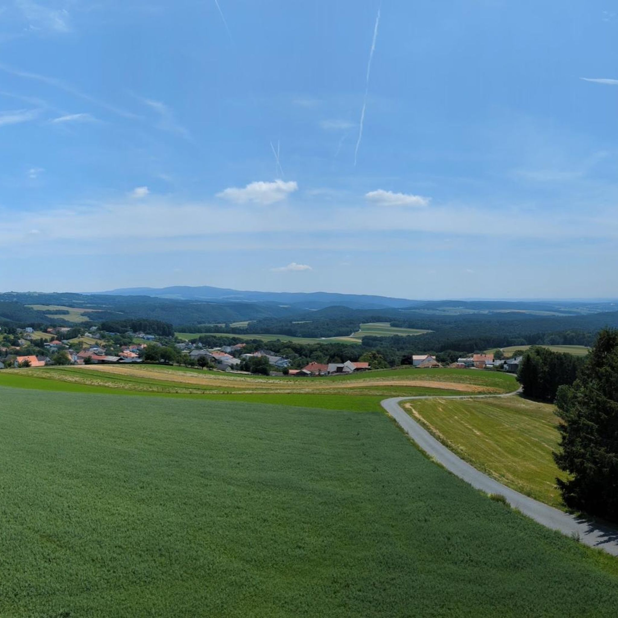
Running Trails around Oberschützen
Running Trails around Stadtschlaining
Running Trails around Rotenturm an der Pinka
Running Trails around Litzelsdorf
Running Trails around Riedlingsdorf
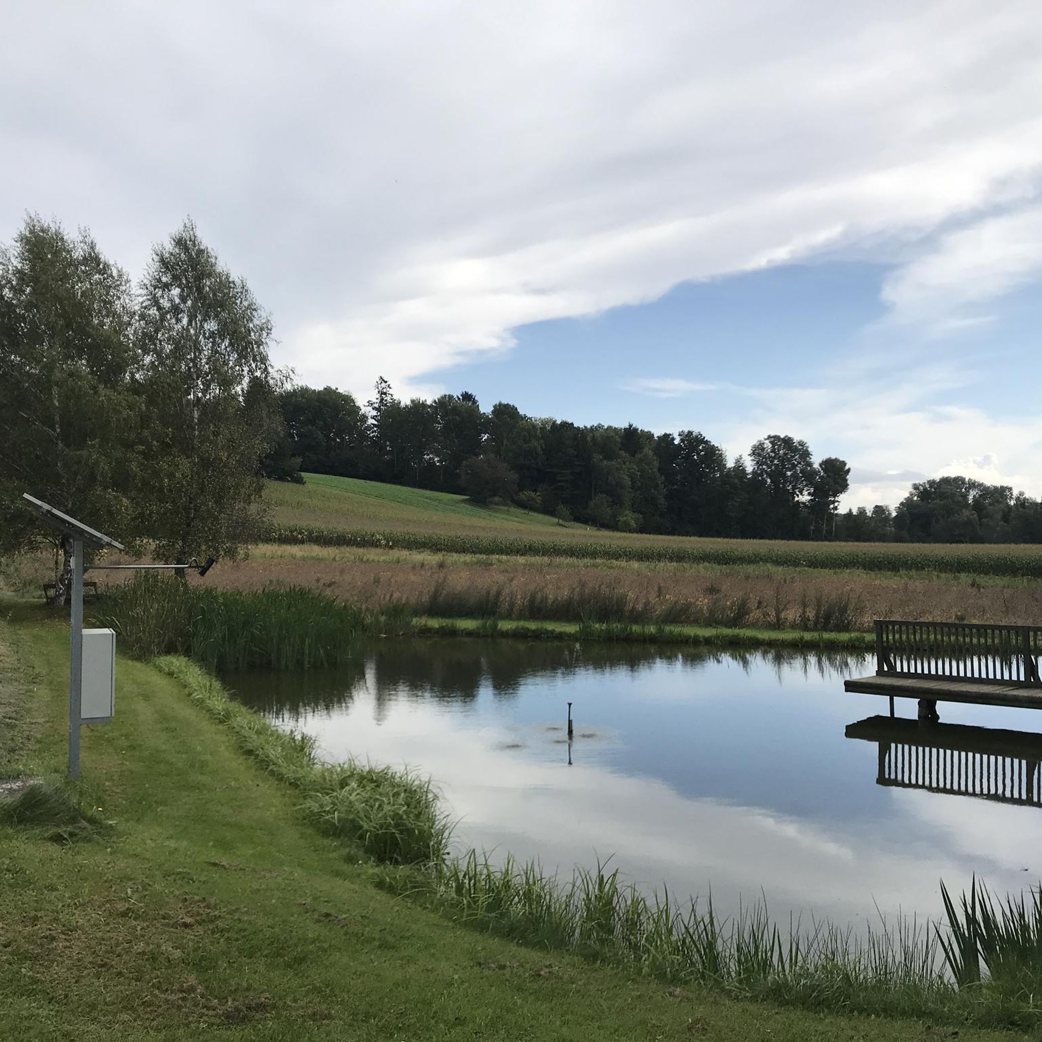
Running Trails around Pinkafeld
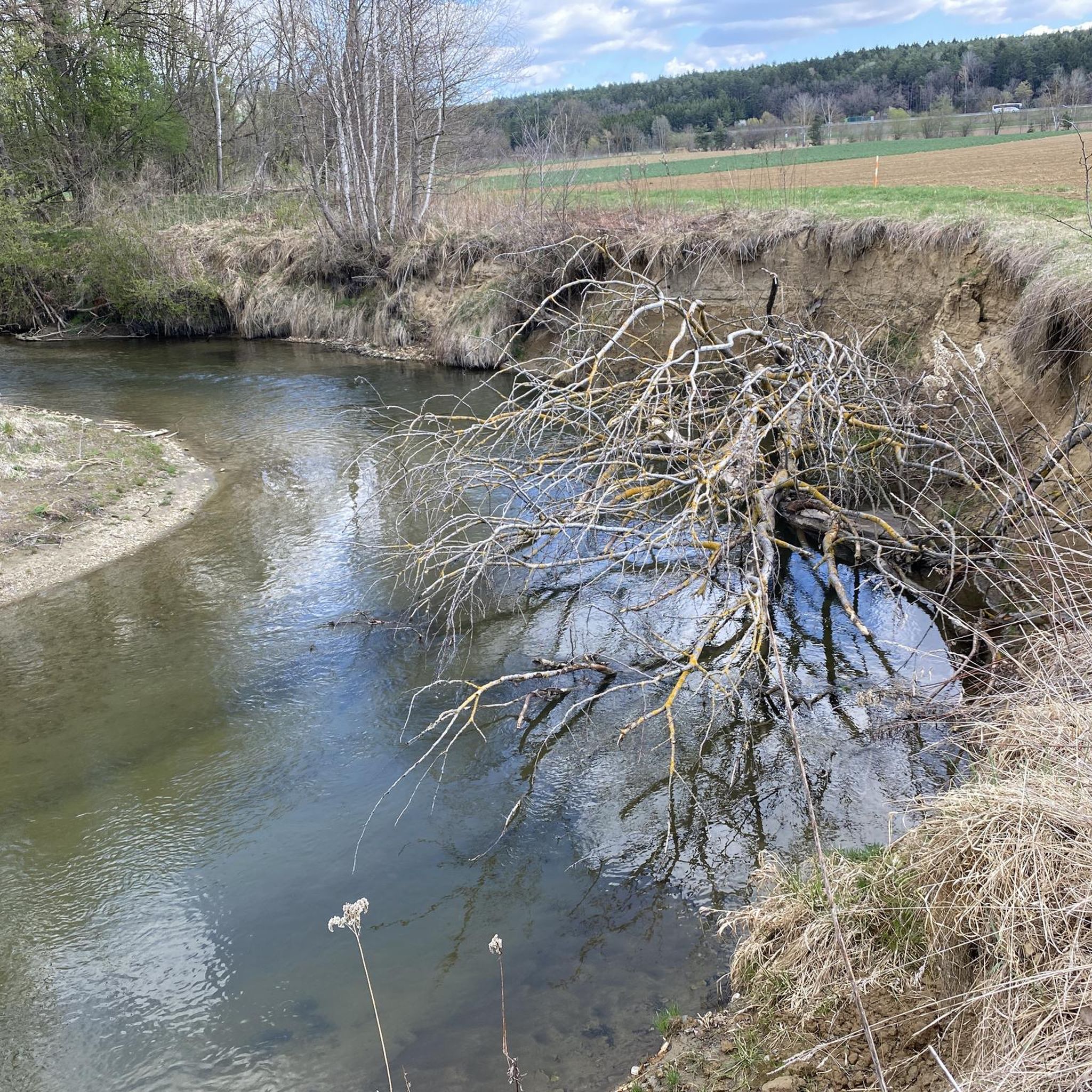
Running Trails around Markt Allhau
Other adventures in Bezirk Oberwart


Tips from the Community

I hiked past here and absolutely had to stop in. I couldn't just walk past the sign "The best coffee in Burgenland". It had to be tested. And lo and behold, it tasted good. And of course, I wanted to know more. The owner of the hotel actually roasts the beans himself. And you can taste it. But... just try it yourself :)
0
0
The castle is certainly not comparable to Schönbrunn & Co, but it certainly has a historical touch. Even if a university and the dental association have set up shop here. However, a little more care would still do the inner courtyard good. Nevertheless: Beautiful photo spot. You will also find the "Anna Fountain" here on the grounds.
0
0

Very relaxing to drive and very well developed!
0
0

Superbly developed cycle path. And because it's a former railway line, there's naturally little elevation gain.
0
0

Can be recommended but nothing spectacular but ideal for spa guests
0
0

Toilet and drinks machine at the viewing platform.
0
0

Beautiful facility, easily accessible
0
0
Frequently Asked Questions
How many running routes are available in Bezirk Oberwart?
Bezirk Oberwart offers a wide selection of running routes, with over 200 options available on komoot. These routes cater to various fitness levels, ranging from easy, flat paths to more challenging trails with significant elevation gain.
What kind of terrain can I expect on the jogging trails in Bezirk Oberwart?
The jogging trails in Bezirk Oberwart feature diverse terrain. You'll find a mix of rolling hills, expansive forests, and vineyards. Many routes utilize well-maintained paths, including former railway lines like the Bahntrassen-Radweg Oberwart–Bad Tatzmannsdorf, which offers smooth asphalt and minimal inclines, ideal for long-distance runs. Other trails wind through natural landscapes, providing varied surfaces.
Are there any easy or beginner-friendly running routes in the region?
Yes, Bezirk Oberwart has several easy and beginner-friendly running routes. Among the 200+ routes, 13 are specifically categorized as easy. These typically feature gentler inclines and well-maintained surfaces, perfect for those new to running or looking for a relaxed jog. For example, the Running loop from Oberwart/Felsőőr is a relatively flat option.
What are some scenic viewpoints or natural features I can see while running in Bezirk Oberwart?
The region is rich in scenic beauty. You can enjoy panoramic views from the Geschriebenstein Observation Tower (Írottkő Lookout), the highest point in Burgenland, which offers vistas stretching from the Alps to the Pannonian Plain. The Viewing Platform loop from Bad Tatzmannsdorf is a great route to experience some of these scenic spots. Additionally, the Südburgenländisches Hügel- und Terrassenland provides picturesque landscapes, and the Wehoferbachwiese in Oberwart showcases unique protected meadows.
Are there any running routes that pass by lakes or water bodies?
Yes, several routes offer views of beautiful lakes and ponds. The Badesee Rechnitz is a beautifully landscaped bathing lake that provides pleasant surroundings for lakeside runs. Other notable water bodies include the Burg Bathing Lake, Stieber Pond, and Forest Pond, which can be incorporated into your running plans.
What do other runners say about the jogging routes in Bezirk Oberwart?
The running routes in Bezirk Oberwart are highly regarded by the komoot community, boasting an impressive average rating of 4.7 stars from over 80 reviews. Runners frequently praise the varied terrain, well-maintained paths, and the beautiful natural scenery that makes each run enjoyable.
Are there any circular running routes in Bezirk Oberwart?
Yes, many of the running routes in Bezirk Oberwart are designed as circular loops, offering convenient starting and ending points. For instance, the Waldteich loop from Bad Tatzmannsdorf is a popular circular option that takes you through varied terrain.
Can I find running routes near historical sites or cultural attractions?
Absolutely. While jogging, you can explore areas near historical and cultural attractions. For example, the surroundings of Schlaining Castle and Schloss Oberwart often feature pathways that offer scenic views and a glimpse into the region's heritage. The Kulturpark in Oberwart also provides a green retreat within the town, suitable for leisurely runs.
Are there running routes suitable for families?
Yes, many of the easier and moderate routes, especially those on former railway lines like the Bahntrassen-Radweg Oberwart–Bad Tatzmannsdorf, are suitable for families due to their minimal inclines and smooth surfaces. These paths are generally safe and enjoyable for all ages, offering a pleasant outdoor experience.
What is the best time of year for running in Bezirk Oberwart?
Bezirk Oberwart offers great running conditions throughout much of the year. Spring and autumn are particularly pleasant, with mild temperatures and vibrant natural colors. Summer provides longer daylight hours, though it can be warmer. Even in winter, many trails remain accessible, offering a serene running experience amidst snow-covered landscapes.
Are there any running routes that are particularly flat or have minimal elevation gain?
For those seeking flatter routes, the converted railway lines are an excellent choice. The Bahntrassen-Radweg Oberwart–Bad Tatzmannsdorf is known for its super asphalt and minimal inclines, making it perfect for smooth, long-distance jogs. Another option with less elevation is the Pinka River Cycle Path loop from Pinkafeld.
Where can I find a running route that passes by a café or offers amenities nearby?
Several routes are conveniently located near local amenities. For example, the Café Simon loop from Bad Tatzmannsdorf is designed to pass by a café, allowing for a refreshing break during or after your run. Many routes starting from towns like Bad Tatzmannsdorf or Oberwart will have cafes and pubs within easy reach.
Most popular routes in Bezirk Oberwart
Most popular attractions in Bezirk Oberwart

Get inspired with the komoot mobile app


Didn’t find what you were looking for?
Check out more Running Trails & Routes throughout Bezirk Oberwart below and find the perfect route in your destination.
Explore more
Browse the best Running Trails & Routes in other regions.
