The best running trails around East Brent
4.5
(82)
7,848
runners
419
runs
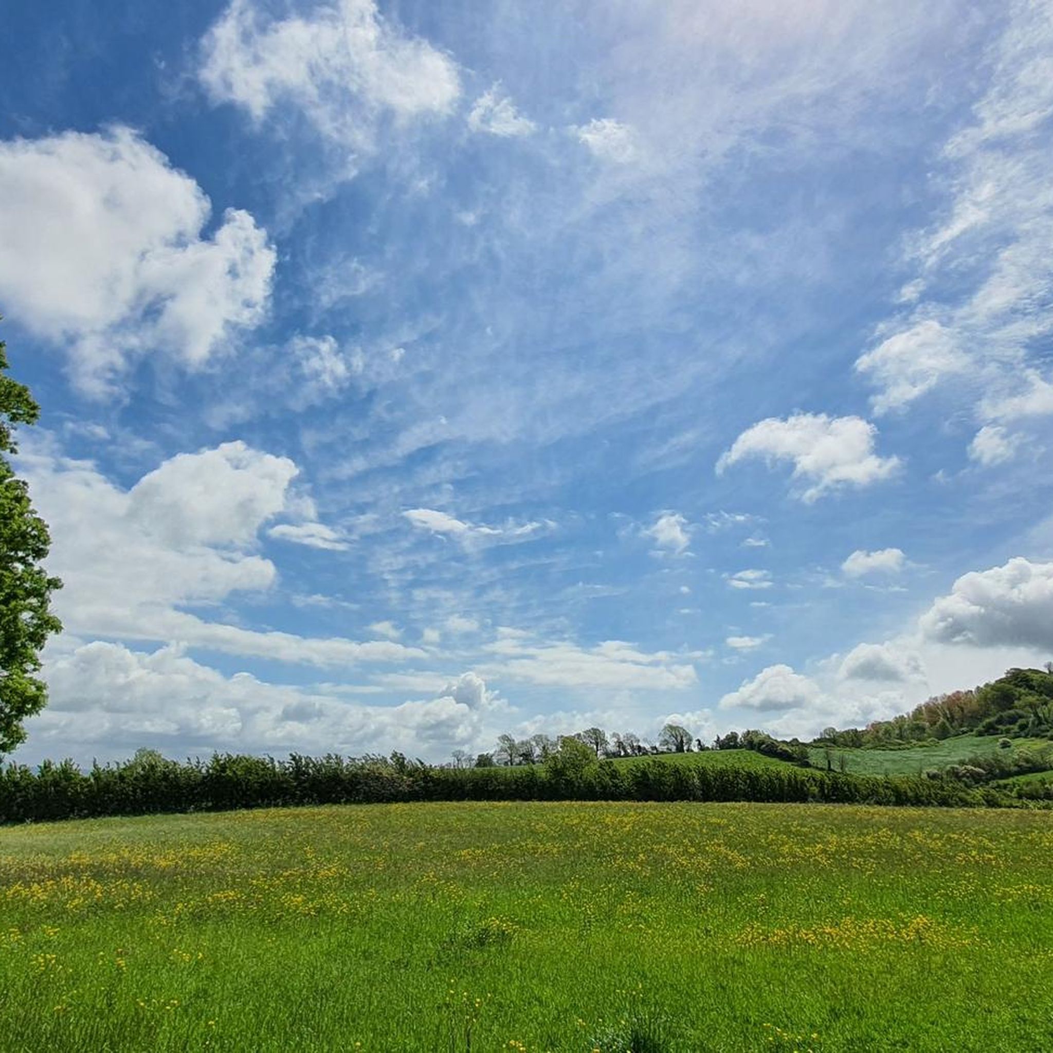
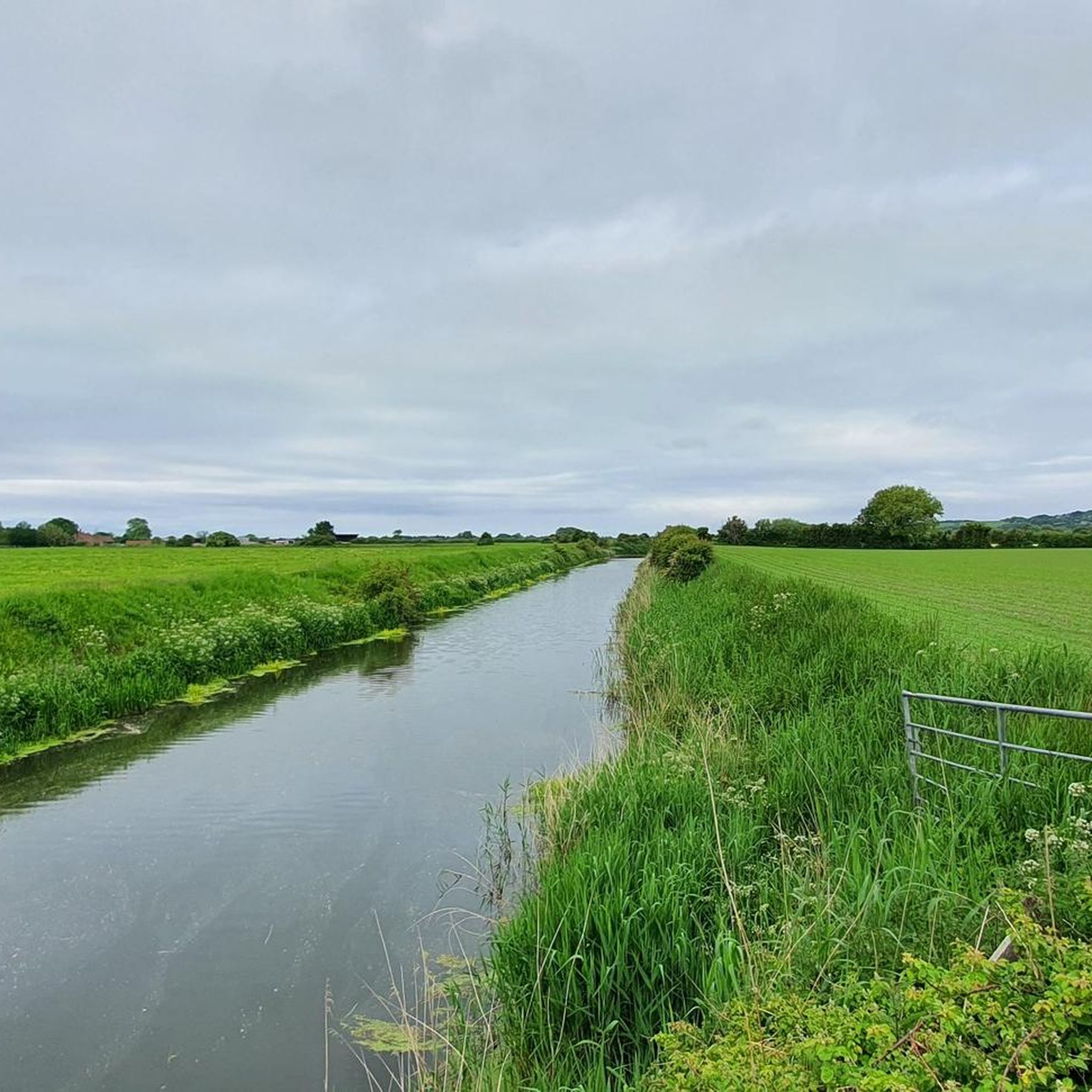
Jogging routes around East Brent offer diverse terrain across the Somerset Levels and surrounding hills. The area features prominent natural landmarks such as Brent Knoll, Wavering Down, and Crook Peak, providing varied elevation and scenic viewpoints. This region is characterized by its mix of flat moorland, gentle slopes, and more demanding ascents, catering to different running preferences. The landscape includes open common land, fields, and historical features like Iron Age hillforts.
Best jogging routes around East Brent
- The most popular…
Last updated: June 27, 2026
15
runners
6.14km
00:39
60m
60m
Moderate run. Good fitness required. Mostly paved surfaces. Suitable for all skill levels.
15
runners
5.29km
00:34
50m
50m
Moderate run. Good fitness required. Mostly paved surfaces. Suitable for all skill levels.

Sign up for free
14
runners
8.65km
00:53
20m
20m
Moderate run. Good fitness required. Mostly paved surfaces. Suitable for all skill levels.
10
runners
6.91km
00:56
240m
250m
Moderate run. Good fitness required. Mostly paved surfaces. Suitable for all skill levels.
6
runners
6.91km
00:43
10m
10m
Moderate run. Good fitness required. Mostly paved surfaces. Suitable for all skill levels.
Get access to more routes and recommendations from other explorers.
Sign up for free
Already have an account?
Our route recommendations are based on thousands of hikes, rides, and runs completed by other people on komoot.
Start today with a free account
Your next adventure awaits.
Login or Signup

Tips from the Community

Sticking out from the end from the ridge of rock that runs from the Mendips Crook Peak offers views over from Exmoor too Wales. A particularly great ride from Wavering down back along the ridge.
1
0

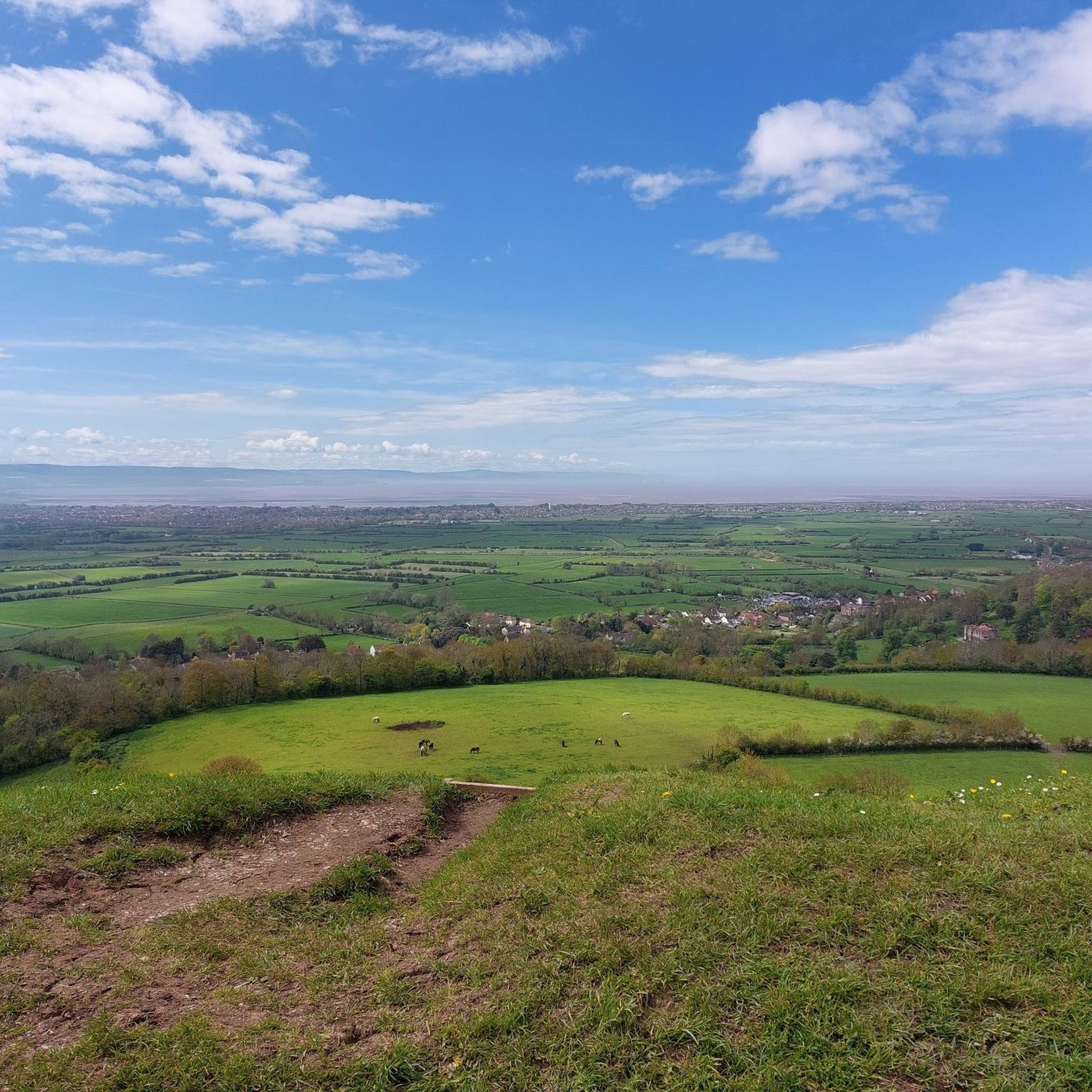
Excellent summit, run from either the car park below or over the ridge from Weavering Down. The top is rocky with great views over towards the Mendips, out to Weston Super Mare and the sea and down the M5.
0
0

Fantastic 360 degree views - around 20-30 mins to get to the top
1
0


Crook Peak and the surrounding area is a geological and biological Site of Special Scientific Interest near the western end of the Mendip Hills Area of Outstanding Natural Beauty in Somerset. As part of the nature reserve management there are wild ponies and sheep grazing to protect the rare plants and flowers that the grassland supports. It is important to keep your dog under close control and on a lead at all times on Wavering Down and Crook Peak. The summit of Crook Peak is a tilting series of miniature limestone escarpments forms the distinctive crag at the top of the hill, which dominates the stretch of the M5 seen below. Most of the site is owned by the National Trust who bought 725 acres (293 ha) in 1985, and much of it has been designated as common land. It was notified as an SSSI by Natural England in 1952. The ecology of the area includes ancient woodland and calcareous grassland which supports nationally rare species including the Cheddar pink. The underlying rocks are Carboniferous Limestone containing phreatic caves at Shute Shelve Cavern and Picken's Hole from which fossils dating from the Middle Devensian have been recovered.
5
1

Part of a Special Site of Scientific Interest, Crook Peak is a hill in the Mendip Hills Area of Outstanding Natural Beauty. Open common with a rocky terrain, the summit offers fantastic views in every direction. Look south across the River Axe and the Somerset Levels, west to the Bristol Channel, east to the bulk of the AONB and north to over patchwork land to Bristol.
5
0

Frequently Asked Questions
How many running routes are available around East Brent?
There are over 400 running routes available around East Brent, catering to various fitness levels. These include 39 easy routes, 284 moderate routes, and 113 difficult routes, offering a wide range of options for joggers.
What kind of terrain can I expect on jogging routes near East Brent?
Jogging routes near East Brent offer diverse terrain, from the flat, expansive Somerset Levels to the prominent hills like Brent Knoll, Wavering Down, and Crook Peak. You'll find a mix of open common land, fields, gentle slopes, and more demanding ascents, providing varied challenges and scenic views.
Are there easy or beginner-friendly running paths in East Brent?
Yes, East Brent offers 39 easy running routes suitable for beginners or those looking for a less strenuous jog. These paths often feature flatter terrain, especially around the Somerset Levels, allowing for a comfortable and enjoyable experience.
Can I find circular running routes in the East Brent area?
Absolutely. Many routes in the East Brent area are circular, allowing you to start and finish at the same point. For example, the Running loop from Brent Knoll offers a moderate 3.3-mile circular path around the base of the prominent Brent Knoll.
What natural features or landmarks can I see while jogging around East Brent?
Jogging routes around East Brent offer stunning natural features and historical landmarks. You can explore the Iron Age hillfort on Brent Knoll Summit, enjoy panoramic views from Wavering Down Trig Point, or discover Bronze Age burial sites and wild ponies on Black Down Summit. The Crook Peak ridge also offers spectacular vistas.
Are the jogging routes around East Brent suitable for families?
Many of the 39 easy routes around East Brent are suitable for families, especially those on flatter sections of the Somerset Levels. These paths provide a gentle introduction to outdoor activity, allowing families to enjoy the countryside together. Always check the route details for specific difficulty and terrain before heading out.
Are there dog-friendly running trails in East Brent?
Yes, many trails in the East Brent area are dog-friendly, particularly those on public footpaths and common land. However, it's always recommended to keep dogs on a lead, especially near livestock or in areas with ground-nesting birds. The open common land on hills like Wavering Down and Black Down can be great for running with your dog.
Where can I park when accessing jogging routes in East Brent?
Parking options vary depending on the specific route. For routes around Brent Knoll, there are often small car parks or roadside parking available near the base of the hill. For trails further afield, such as the Crook Peak loop from Loxton, you might find parking in nearby villages or designated trailheads. Always check local signage for parking restrictions.
Is public transport available to reach running trails near East Brent?
While East Brent is a village, public transport options to specific trailheads might be limited. It's advisable to check local bus services for connections to East Brent or nearby towns like Axbridge, from which you might be able to access some running routes. Planning your route in advance and checking transport schedules is recommended.
What do other runners say about their experience jogging in East Brent?
The jogging routes in East Brent are highly rated by the komoot community, with an average score of 4.6 stars from over 60 reviews. Runners frequently praise the varied terrain, the stunning panoramic views from the hills, and the peaceful countryside atmosphere. Over 8,000 runners have used komoot to explore the area, highlighting its popularity.
Are there any cafes or pubs near the jogging routes for a post-run refreshment?
Yes, the East Brent area and its surrounding villages offer options for post-run refreshments. While East Brent itself has local amenities, nearby picturesque towns like Axbridge, known for its medieval market square, also provide cafes and pubs where you can relax and refuel after your run.
What are some less-known or 'hidden gem' running routes in East Brent?
While popular routes like those around Brent Knoll are well-loved, exploring the extensive Somerset Levels offers many quieter paths. Consider the Running loop from RoadChef Sedgemoor Services (Southbound) for a flatter, less-trafficked experience, or delve into the network of trails that crisscross the open common land of Wavering Down for a more secluded run with great views.
What is the best time of year to go jogging in East Brent?
East Brent offers excellent jogging opportunities year-round. Spring and autumn provide pleasant temperatures and beautiful scenery with changing foliage. Summer is ideal for early morning or late evening runs to avoid the heat, while winter can offer crisp, clear days, especially on the hills, though some lower-lying areas on the Somerset Levels might be wetter. Always check local weather conditions before heading out.
Most popular attractions around East Brent

Get inspired with the komoot mobile app


Explore more
Browse the best Running Trails & Routes in other regions.
