The best walks and hikes around Farrington Gurney
4.5
(969)
5,644
hikers
395
hikes
Hiking around Farrington Gurney reveals a landscape of rolling countryside and diverse natural environments. The region, situated between Bristol, Bath, and Wells, features wildflower meadows, ancient woodlands, and remnants of the Somerset Coal Canal. Access to the Mendip Hills, an Area of Outstanding Natural Beauty, provides opportunities for higher elevation routes. The terrain includes gentle paths along brooks and former railway lines, alongside more varied trails through valleys and past waterfalls.
Best hiking trails around Farrington Gurney
- The most popular hiking route is Old Railway Line – View of Wheat Fields loop from Ston Easton, an easy 2.7 miles (4.4 km) trail that takes 1 hour 10 minutes to complete. This route offers views of wheat fields along a former railway line.
- Another top favourite among local hikers is Stephen's Vale Waterfall – Greyfield Wood Waterfall loop from Paulton, an easy 4.6 miles (7.4 km) path. This trail explores two waterfalls and is known for bluebell displays in spring.
- Local hikers also love the Back Road Entrance to Paulton – Timsbury Basin loop from High Littleton, a 5.0 miles (8.0 km) trail leading through varied terrain including the historic Timsbury Basin, often completed in about 2 hours 8 minutes.
- Hiking around Farrington Gurney is defined by rolling countryside, ancient woodlands, and historical canal routes. The network offers options for different ability levels, from easy strolls to moderate climbs.
- The routes in Farrington Gurney are highly rated by the komoot community with an average score of 4.5 stars from over 800 reviews. More than 5000 hikers have used komoot to explore Farrington Gurney's varied terrain.
Last updated: June 26, 2026
5.0
(1)
12
hikers
5.91km
01:34
60m
60m
Easy hike. Great for any fitness level. Easily-accessible paths. Suitable for all skill levels.
3.0
(1)
9
hikers
4.29km
01:08
40m
40m
Easy hike. Great for any fitness level. Easily-accessible paths. Suitable for all skill levels.

Sign up for free
4.0
(1)
6
hikers
Easy hike. Great for any fitness level. Easily-accessible paths. Suitable for all skill levels.
5.0
(2)
7
hikers
Moderate hike. Good fitness required. Easily-accessible paths. Suitable for all skill levels.
4.0
(1)
4
hikers
7.05km
01:53
80m
80m
Easy hike. Great for any fitness level. Easily-accessible paths. Suitable for all skill levels.
Get access to more routes and recommendations from other explorers.
Sign up for free
Already have an account?
Our route recommendations are based on thousands of hikes, rides, and runs completed by other people on komoot.
Start today with a free account
Your next adventure awaits.
Login or Signup
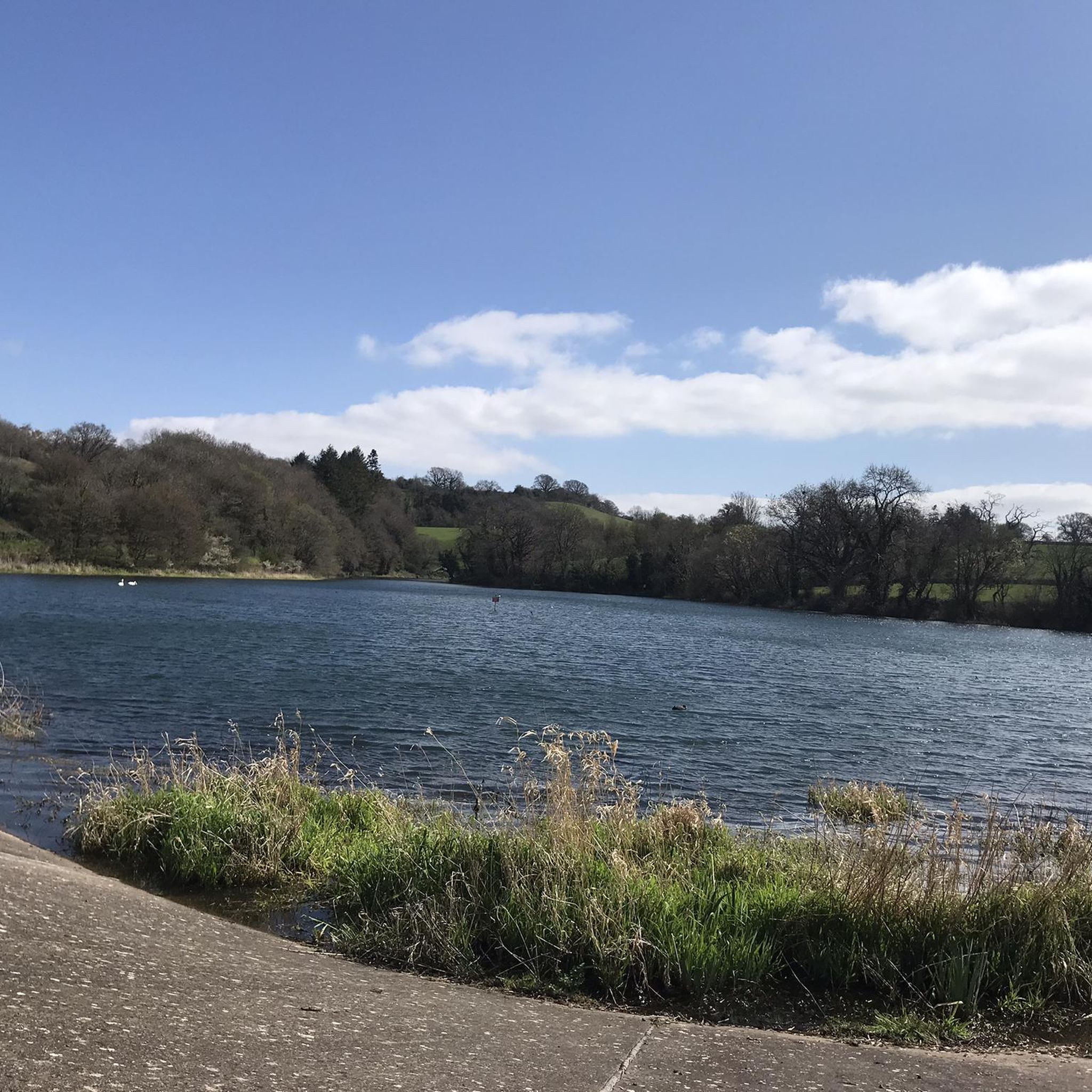
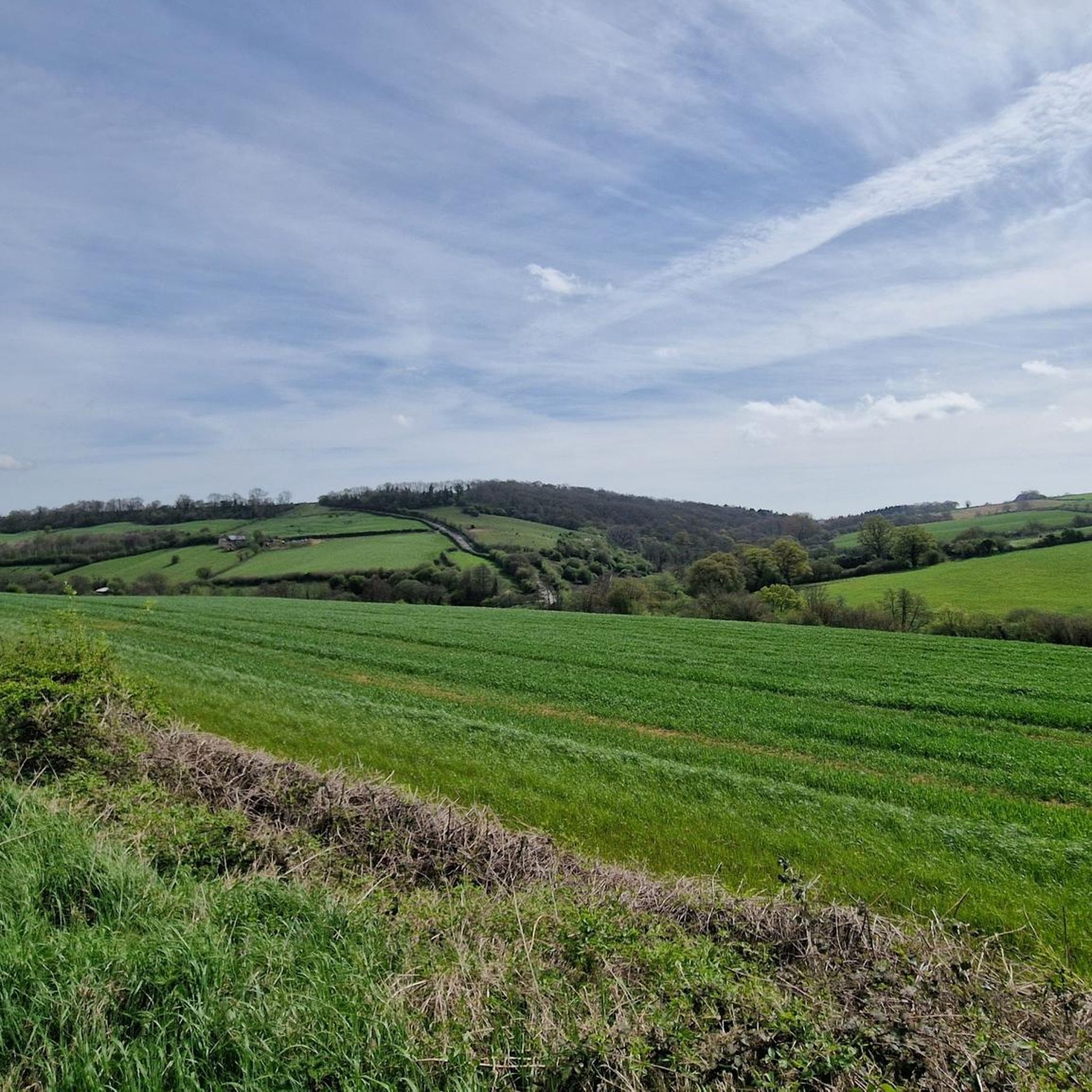
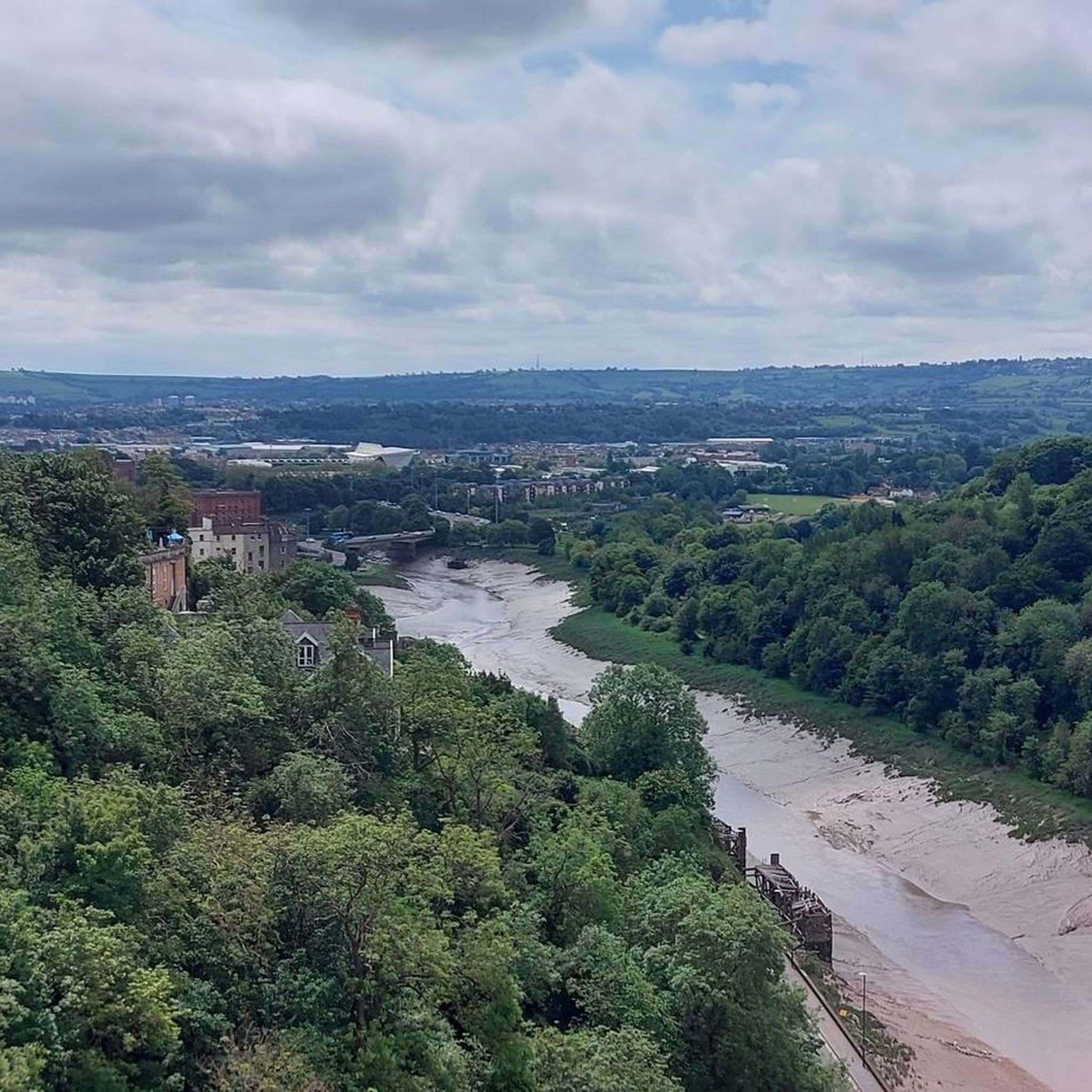
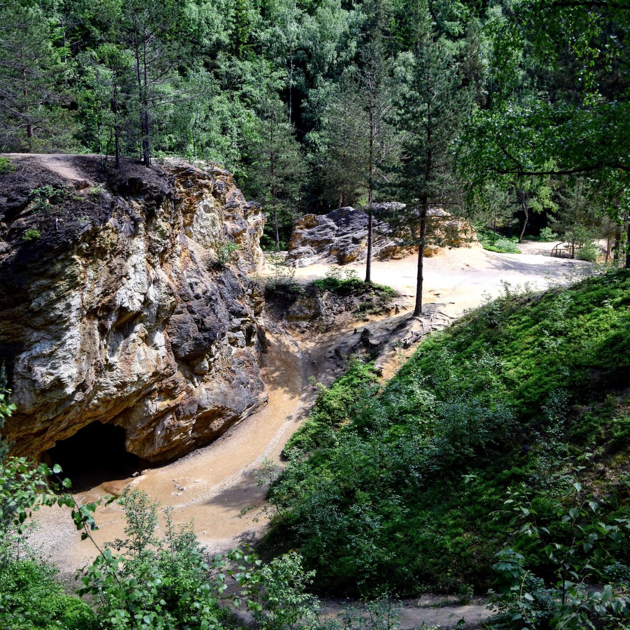
Tips from the Community

We walked this route in June 2025 and there was so much vegetation near the waterfall and further along the route that we had to improvise the route. Otherwise it is a beautiful route with a lot of variety.
0
0
Timsbury basin is one of the remnants of the old Somerset Coal Canal. This is where the canal began, flowing from here down to the Kennet and Avon canal near Bath. The canal isn't complete, but you can trace the route starting with these ponds.
1
0

Stunning waterfall tumbling down a rocky cleft in the woods with pools for paddling.
0
0

A waterfall in a wood. Footpaths and kissing gates so be nice.
0
0

Either of these will work as quieter entrances to Paulton. It's on a hill so it's a down-and-up any way you slice it.
0
0

Late spring brings extraordinary bluebell displays in this vibrant nature reserve whilst the waterfall delights hikers throughout the year. Goldilocks buttercups, anenomes and butterbur are all found here along with butterflies such as red admiral, painted lady and brimstone.
0
0
Frequently Asked Questions
How many hiking trails are there around Farrington Gurney?
Farrington Gurney offers a wide variety of hiking experiences, with over 390 routes available. These range from easy strolls to more challenging paths, ensuring options for all fitness levels.
What do other hikers enjoy most about hiking in Farrington Gurney?
The area is highly rated by the komoot community, with an average score of 4.5 stars from over 800 reviews. Hikers often praise the diverse landscapes, from rolling countryside and ancient woodlands to historical features, and the well-maintained paths that make exploring enjoyable.
What is the best time of year to go hiking in Farrington Gurney?
Spring and early summer are particularly beautiful for hiking in Farrington Gurney. This is when areas like Greyfield Wood and Long Dole Wood burst with vibrant bluebell displays, and Hollow Marsh Meadow showcases glorious wildflowers, including orchids, attracting numerous butterflies.
Are there any trails that feature waterfalls near Farrington Gurney?
Yes, the region is home to stunning waterfalls. You can explore both Stephen's Vale Waterfall and Greyfield Wood Waterfall on an easy loop trail. This route, called Stephen's Vale Waterfall – Greyfield Wood Waterfall loop from Paulton, is known for its natural beauty and bluebell displays in spring.
Can I find trails that explore ancient woodlands or nature reserves?
Absolutely. The area boasts several natural havens. Greyfield Wood is a popular spot, especially for bluebells. Additionally, Hollow Marsh Meadow, a nature reserve west of Farrington Gurney, features ancient woodland like Long Dole Wood, rich in oak and ash trees, and vibrant wildflowers.
Are there any routes that follow historical features like canals or old railway lines?
Yes, you can discover the region's history on foot. The Old Railway Line – View of Wheat Fields loop from Ston Easton follows a former railway line. Another route, the Back Road Entrance to Paulton – Timsbury Basin loop from High Littleton, takes you past the Timsbury Basin, a remnant of the historic Somerset Coal Canal.
Are there easy or beginner-friendly hiking trails in Farrington Gurney?
Yes, Farrington Gurney is very welcoming for beginners and those looking for easier walks. Over 220 of the available routes are classified as easy. An excellent example is the Old Railway Line – View of Wheat Fields loop from Ston Easton, which is an easy 2.7-mile trail.
Are the hiking trails around Farrington Gurney suitable for families?
Many trails in Farrington Gurney are suitable for families, especially the easier routes that feature gentle paths and interesting natural or historical sights. The Stephen's Vale Waterfall – Greyfield Wood Waterfall loop from Paulton is a great option for families, offering engaging natural features.
Are there dog-friendly hiking options in the area?
Farrington Gurney's rural landscape is generally very dog-friendly, with many public footpaths and bridleways suitable for walks with your canine companion. Always ensure dogs are kept under control, especially near livestock, and check local signage for any specific restrictions.
What natural landmarks or attractions can I explore near Farrington Gurney?
Beyond the trails, you can visit several natural landmarks. Highlights include the ancient Stanton Drew Stone Circles and Cove, the scenic Chew Valley Lake, and the tranquil East Harptree Woods. These offer diverse points of interest to complement your hiking experience.
What are the options for parking when hiking in Farrington Gurney?
Parking availability varies depending on the specific trailhead. Many routes start from villages or designated car parks. It's advisable to check the starting point of your chosen komoot tour for specific parking information, as some smaller villages may have limited spaces.
Is it possible to reach hiking trails in Farrington Gurney using public transport?
While Farrington Gurney is a rural village, it has bus connections to nearby towns like Bristol, Bath, and Wells. Some trailheads might be accessible via local bus routes, but planning your journey in advance and checking bus schedules is recommended to ensure convenient access to your desired starting point.
Are there any circular walks available in Farrington Gurney?
Yes, the majority of hiking routes around Farrington Gurney are circular, allowing you to start and end at the same point. For example, the Hiking loop from Clutton is a popular circular option, offering a varied experience through the local countryside.
Most popular routes around Farrington Gurney
Most popular attractions around Farrington Gurney

Get inspired with the komoot mobile app


Explore more
Browse the best Hikes in other regions.
