The best road cycling routes around Coolcrannel
4.0
(2)
101
riders
37
rides
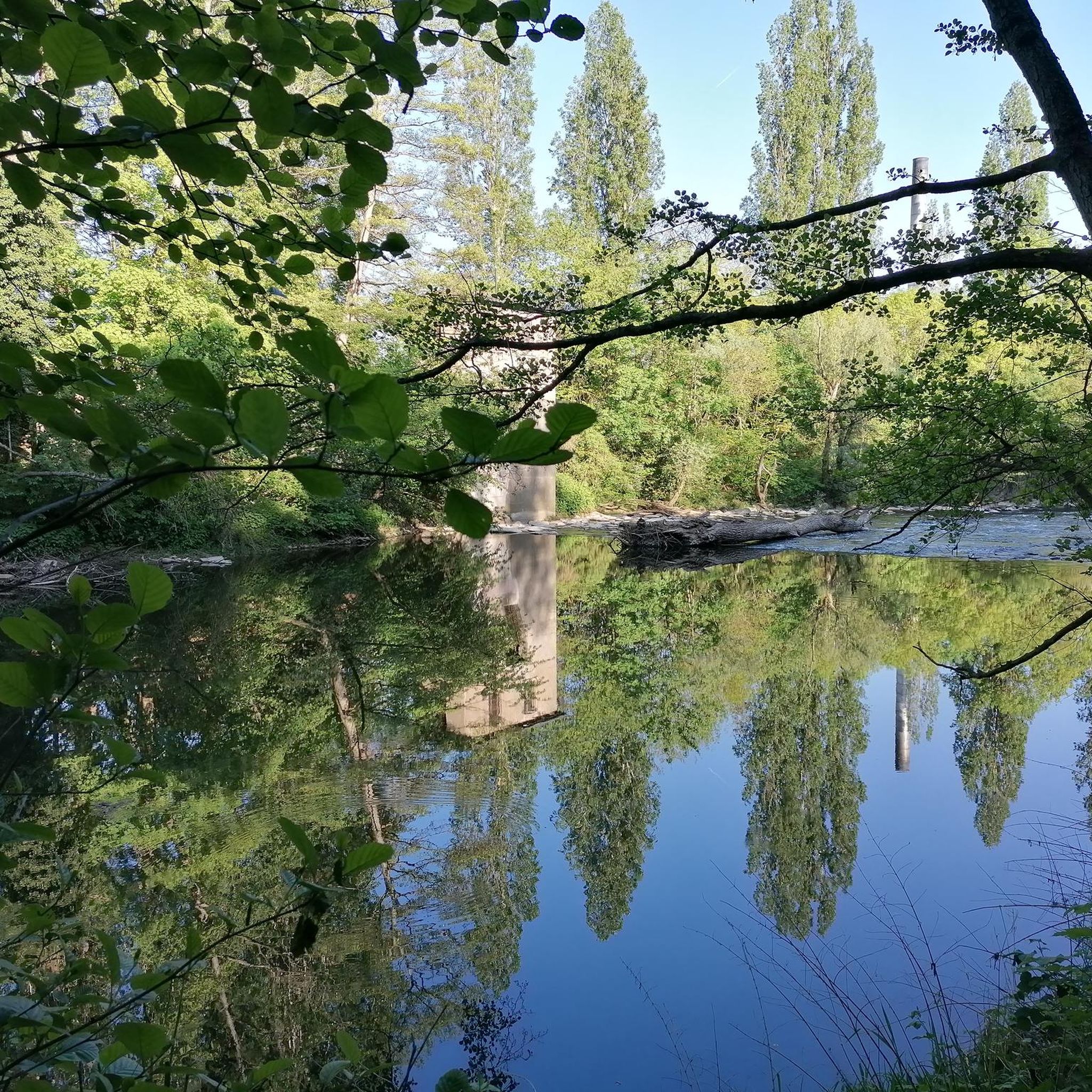
Road cycling routes around Coolcrannel are situated within a region characterized by varied landscapes, including lush forests, tranquil loughs, and rolling hills. The area offers a mix of well-paved roads and rural lanes, providing diverse terrain for road cyclists. Elevations range from gentle undulations to more challenging climbs, reflecting the natural topography of the surrounding Fermanagh and Sperrins areas. This environment supports a network of routes suitable for different fitness levels.
Best road cycling routes around Coolcrannel
- The most popular…
Last updated: June 27, 2026
12
riders
59.3km
02:29
300m
300m
Embark on the Enniskillen Kinawley loop from Lisnaskea for a scenic road cycling adventure through County Fermanagh, Northern Ireland. This moderate route covers 36.9 miles (59.3 km) with an elevation…
3.0
(1)
9
riders
119km
05:22
970m
970m
Hard road ride. Very good fitness required. Mostly well-paved surfaces and easy to ride.

Sign up for free
5
riders
41.6km
01:52
390m
390m
Moderate road ride. Good fitness required. Mostly well-paved surfaces and easy to ride.
6
riders
42.6km
01:43
230m
230m
Easy road ride. Great for any fitness level. Mostly well-paved surfaces and easy to ride.
5
riders
50.7km
02:18
480m
480m
Moderate road ride. Good fitness required. Mostly well-paved surfaces and easy to ride.
Get access to more routes and recommendations from other explorers.
Sign up for free
Already have an account?
Our route recommendations are based on thousands of hikes, rides, and runs completed by other people on komoot.
Start today with a free account
Your next adventure awaits.
Login or Signup
Popular around Coolcrannel

Tips from the Community

The castle now houses the Fermanagh County Museum, which focuses on the history, culture and natural history of the county.
0
0

Known locally as the "Wee Abbey", Clones Abbey is a ruined monastery dating back to the 12th century. The original abbey was founded by St. Tigernach as early as the 6th century. However, the abbey was destroyed by fire not once, but four times during its history. In the 16th century, the abbey suffered once again during the suppression of monasteries and Protestant reformation under Henry VIII. Less than a hundred years later, it lay in ruin, although some solitary monks still lived here until the 18th century. Today, you can visit the crumbling walls and take a look at the interesting graveyard. The abbey is free to visit and you can access it any time.
1
0

The magnificent Enniskillen Castle is situated in the heart of Enniskillen on the banks of the River Erne. The castle was founded in the 15th century by Hugh 'The Hospitable' Maguire and belonged to the Maguire family for centuries. Between 2007 and 2013 a massive refurbishment took place so that the castle could be opened to the public. Today you can explore the castle grounds and learn about this landmarks rich history.
1
0

The road passed around the edge of Doon Forest. Mostly a conifer plantation, there is also a lot of deciduous planting around the outside. The quiet road through the trees feel particularly lush in May when the leaves are at their newest and greenest.
0
0
From this vantage point as the terrain starts to rise up to Tullybrack Hill, you can see all the way across the Sillees River, Ross Lough and Carran Lough. Your eyes are also drawn to th lush green farmland and woodlands stretching out below.
0
0

The round tower in Clones was originally built around the 10th century as part of the abbey. Although it would once have stood at 75 feet (23 m), the top part is now missing. Nonetheless, it is still a prominent feature on Clones' skyline. There would once have been four storeys, including a bell storey. St Tierney's graveyard, which surrounds the tower, is also an interesting place to explore with many 17th and 18th-century gravestones and the tomb shrine of St Tighernach.
1
0
Known locally as the "Wee Abbey", Clones Abbey is a ruined monastery dating back to the 12th century. The original abbey was founded by St. Tigernach as early as the 6th century. However, the abbey was destroyed by fire not once, but four times during its history. In the 16th century, the abbey suffered once again during the suppression of monasteries and Protestant reformation under Henry VIII. Less than a hundred years later, it lay in ruin, although some solitary monks still lived here until the 18th century. Today, you can visit the crumbling walls and take a look at the interesting graveyard. The abbey is free to visit and you can access it any time.
0
0
Frequently Asked Questions
How many road cycling routes are available around Coolcrannel?
There are over 40 road cycling routes around Coolcrannel listed on komoot, catering to various skill levels. This includes 15 easy routes, 27 moderate routes, and 2 more challenging options for experienced cyclists.
What kind of terrain can I expect on road cycling routes near Coolcrannel?
The terrain around Coolcrannel offers a diverse experience, from mostly well-paved surfaces and easy-to-ride sections to more challenging routes with significant climbs. You'll encounter varied landscapes, including lush forests, tranquil loughs, and rolling hills, characteristic of the Fermanagh and Sperrins areas.
Are there any family-friendly road cycling routes in the Coolcrannel area?
Yes, the Coolcrannel area offers several family-friendly road cycling options. Many of the 15 easy routes are suitable for all fitness levels, featuring relatively flat rides and well-maintained surfaces. For example, the Lough Barry – Old Church loop from Lisbellaw is an easy 42.6 km path with a modest 225 meters of elevation gain, making it a great choice for families.
Where can I find scenic viewpoints or natural attractions along the road cycling routes?
The region around Coolcrannel is rich in natural beauty. While cycling, you can expect stunning views across loughs and through forests. Nearby Fermanagh features attractions like Lough Navar Forest, Castle Archdale Country Park, and the Crom Estate, offering diverse flora and fauna. The Sperrins are known for their amazing landscapes, and Donegal routes provide spectacular vistas across Mulroy Bay and Lough Swilly.
Are there loop road cycling routes available around Coolcrannel?
Yes, many of the road cycling routes around Coolcrannel are designed as loops, allowing you to start and finish at the same point. Popular examples include the Ennisskillen Kinawley loop from Lisnaskea, a moderate 59.3 km ride, and the longer Enniskillen, Kinawley and Derrynawilt loop from Lisnaskea, which covers 119.1 km.
What is the best time of year for road cycling in Coolcrannel?
The best time for road cycling in Coolcrannel generally aligns with milder weather conditions, typically from late spring through early autumn (May to September). During these months, you'll experience more favorable temperatures and less chance of challenging winter conditions, making for a more enjoyable ride through the region's varied landscapes.
Are there options for advanced road cyclists looking for challenging climbs?
Absolutely. While many routes are moderate or easy, the region also offers more demanding options. For instance, the Enniskillen, Kinawley and Derrynawilt loop from Lisnaskea is a difficult 119.1 km trail with nearly 1,000 meters of elevation gain. Further afield in Donegal, routes like the 'Two Heads of Donegal' include iconic sections such as the Mamore Gap, known for its steep ascents.
What do other road cyclists enjoy most about the routes in Coolcrannel?
The road cycling routes in Coolcrannel are highly rated by the komoot community, with an average score of 4.0 stars from over 2 reviews. Cyclists often praise the blend of rural roads, scenic lough views, and undulating landscapes that provide options for different ability levels, from relaxing rides to more demanding routes.
Is there parking available near the road cycling trails in Coolcrannel?
While specific parking areas for each trail are not detailed, the towns and villages that serve as starting points for many routes, such as Lisnaskea and Lisbellaw, typically offer public parking facilities. It is advisable to check local information for parking availability in these areas before your ride.
Can I access road cycling trails in Coolcrannel using public transport?
Access to road cycling trails in the Coolcrannel area via public transport can be limited due to the rural nature of the region. While some larger towns may have bus services, reaching specific trailheads often requires personal transport. It's recommended to research local bus routes and schedules to see if they align with your chosen starting points.
Are there cafes or pubs along the road cycling routes for refreshments?
The towns and villages near the cycling routes, such as Lisnaskea and Lisbellaw, offer local amenities including cafes and pubs where you can stop for refreshments. Given the rural character of many routes, it's a good idea to plan your stops in advance, especially on longer rides, to ensure you have access to food and drink.
What is the average length and elevation gain for road cycling routes in Coolcrannel?
The routes vary significantly in length and elevation. Easy routes, like the Lough Barry – Old Church loop, are around 42.6 km with about 225 meters of elevation gain. Moderate routes, such as the Ennisskillen Kinawley loop, cover about 59.3 km with nearly 300 meters of climbing. More difficult routes can extend over 100 km with close to 1,000 meters of elevation.
Most popular routes around Coolcrannel

Get inspired with the komoot mobile app


Explore more
Browse the best Road cycling routes in other regions.
