The best mountain hikes in the Tenasserim Hills
4.5
(6)
59
hikers
9
hikes
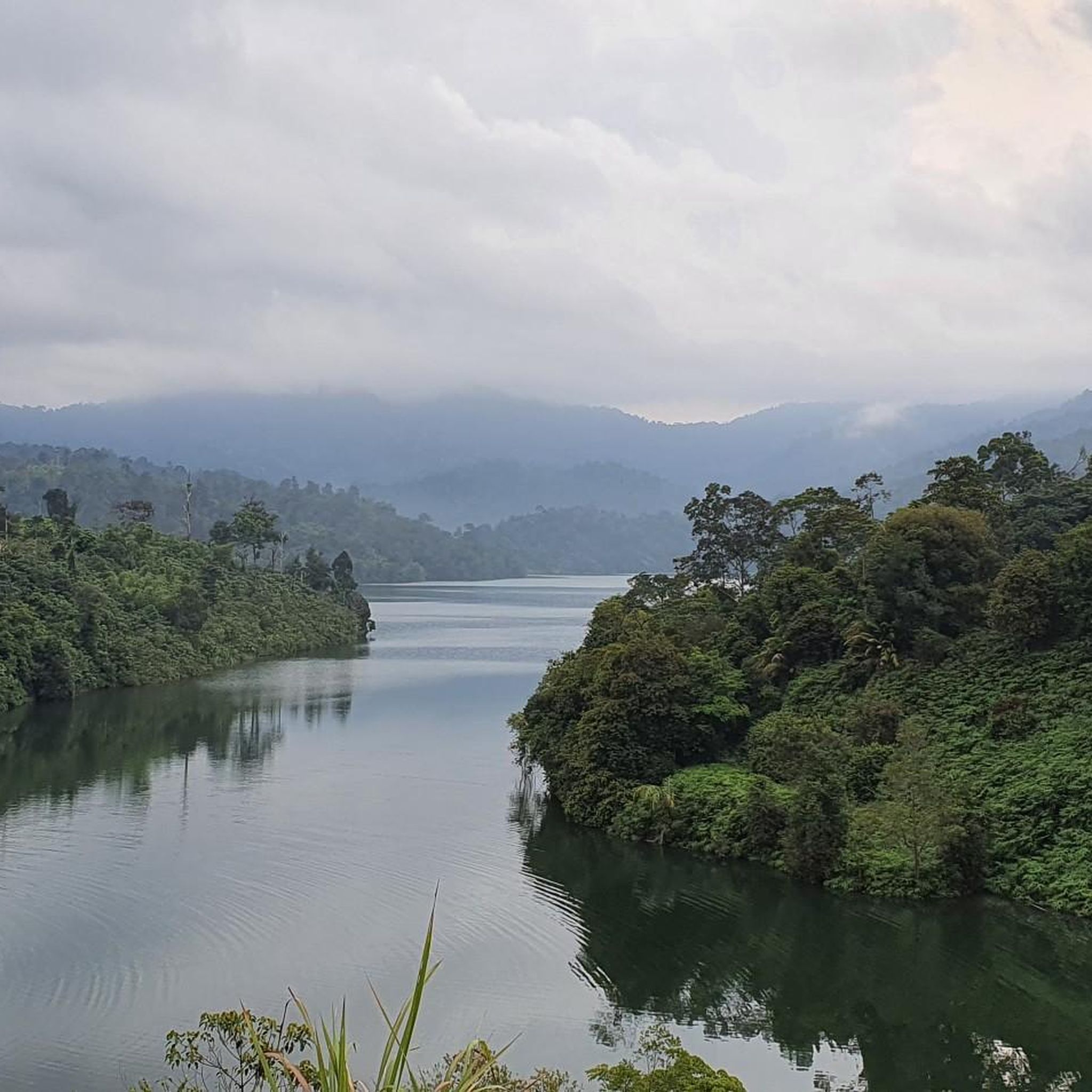
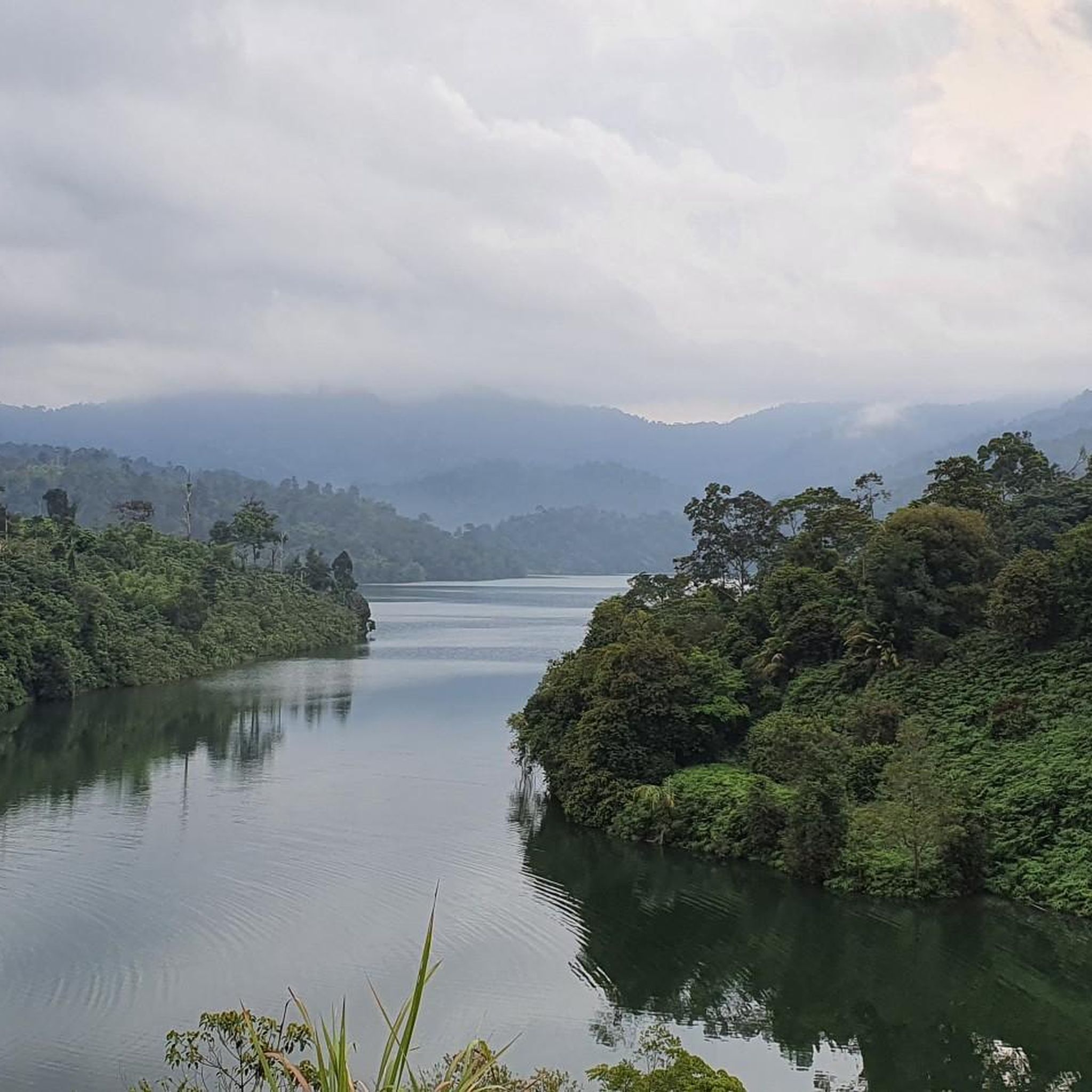
Mountaineering in the Tenasserim Hills offers diverse experiences across an ancient granite mountain range stretching through Myanmar, Thailand, and Malaysia. This region is characterized by dense tropical moist forests, significant elevation changes, and rugged, varied terrain. Mountaineers can expect challenging treks, steep inclines, and river crossings, navigating through ecosystems rich in biodiversity.
Best mountaineering routes in the Tenasserim Hills
- The most popular mountaineering route is Gunung Nuang loop from Kampung Kuala Pangsun, a 12.5 miles (20.2 km) trail that…
Last updated: July 4, 2026
4.0
(1)
22
hikers
Moderate mountaineering route. Good fitness required. Easily-accessible paths. Suitable for all skill levels.
5.0
(5)
11
hikers
5.93km
01:41
140m
140m
Easy mountaineering route. Great for any fitness level. Easily-accessible paths. Suitable for all skill levels.

Sign up for free
6
hikers
4.93km
01:34
210m
210m
Easy mountaineering route. Great for any fitness level. Easily-accessible paths. Suitable for all skill levels.
6
hikers
20.2km
07:57
1,460m
1,460m
Hard mountaineering route. Very good fitness required. Easily-accessible paths. Suitable for all skill levels.
6
hikers
4.32km
01:16
110m
110m
Easy mountaineering route. Great for any fitness level. Easily-accessible paths. Suitable for all skill levels.
Get access to more routes and recommendations from other explorers.
Sign up for free
Already have an account?
Our route recommendations are based on thousands of hikes, rides, and runs completed by other people on komoot.
Start today with a free account
Your next adventure awaits.
Login or Signup
Frequently Asked Questions
What kind of terrain can I expect on mountaineering routes in the Tenasserim Hills?
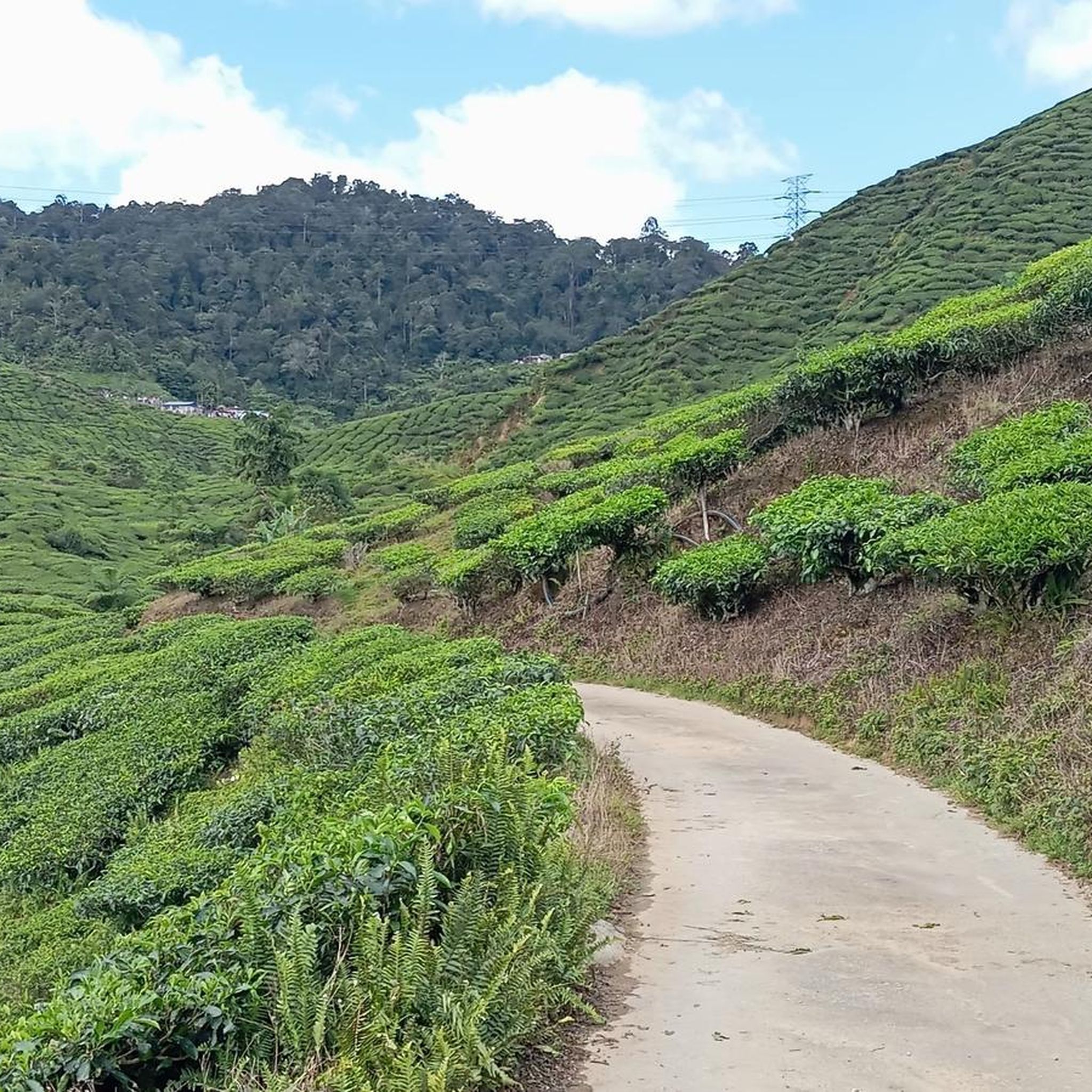
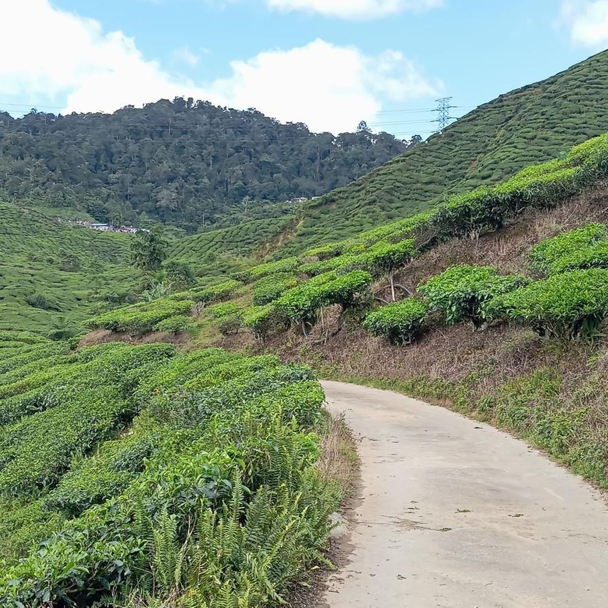
The Tenasserim Hills feature ancient granite ridges and dense tropical moist forests. You'll encounter varied terrain with significant elevation changes, including steep inclines and river crossings. The region is known for its rugged and heavily forested nature, offering challenging treks through biodiverse ecosystems.
Are there any easy mountaineering routes suitable for beginners in the Tenasserim Hills?
Yes, there are several easier options. For instance, the Puncak Denai Tiga Puteri loop from Putrajaya Line is an easy 5.9 km route. Another accessible option is the Bukit Dinding loop from Kelana Jaya Line, which is 4.9 km long and also rated as easy.
What are some challenging mountaineering routes in the Tenasserim Hills?
For experienced mountaineers seeking a challenge, the Gunung Nuang loop from Kampung Kuala Pangsun is a difficult 20.2 km trail with substantial elevation gain, typically taking around 8 hours to complete. This route navigates through dense forested terrain.
Are there any routes with waterfalls or other natural attractions?
Yes, the region is rich in natural attractions. The Gunung Angsi – Waterfall View loop from Trailhead Bukit Putus to Gunung Angsi is a moderate 8.1 km path that features a waterfall view. Additionally, the Tenasserim Hills are home to numerous scenic waterfalls like Ton Chong Fa Waterfall and Sai Rung Waterfall, many of which are accessible via hiking trails.
What is the best time of year for mountaineering in the Tenasserim Hills?
The Tenasserim Hills experience a tropical monsoon climate. The western slopes receive abundant monsoon rains, leading to dense tropical moist forests. Generally, the drier seasons would be more suitable for mountaineering, but be prepared for high humidity and potential rain year-round due to the region's climate.
Are there any circular mountaineering routes available?
Yes, many routes in the Tenasserim Hills are designed as loops. Examples include the Puncak Denai Tiga Puteri loop, the Bukit Dinding loop, and the challenging Gunung Nuang loop. These circular paths allow you to start and end at the same point.
What kind of wildlife might I encounter while mountaineering?
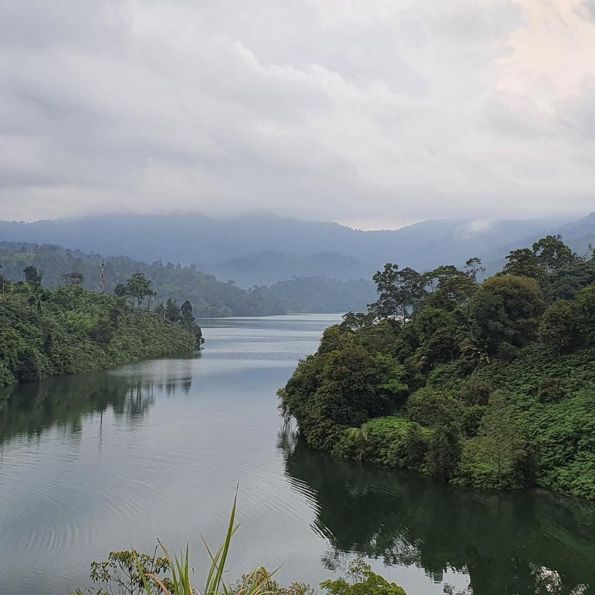
The Tenasserim Hills are a biodiversity hotspot, home to a wide array of wildlife. The dense tropical forests are habitats for various species, including endangered ones like Asian elephants and tigers. You might also spot diverse birdlife, reptiles, and other mammals. Always be aware of your surroundings and respect the natural environment.
Are there any family-friendly mountaineering options?
While many routes involve significant elevation, some of the easier, shorter loops could be suitable for families with older children who are accustomed to hiking. For example, the Hutan Pendidikan Bukit Gasing loop from Petaling Jaya is an easy 4.3 km route that might be manageable for active families.
What do other mountaineers say about the routes in the Tenasserim Hills?
The mountaineering routes in the Tenasserim Hills are highly rated by the komoot community, with an average score of 4.5 stars from 6 reviews. Users often praise the challenging yet rewarding nature of the trails, the dense forest environments, and the opportunities for immersion in nature.
Are permits required for mountaineering in the Tenasserim Hills?
Many areas within the Tenasserim Hills are part of national parks and nature reserves, such as Khao Sok National Park and Tanintharyi Nature Reserve. It is advisable to check with the local park authorities or relevant government bodies for specific permit requirements before embarking on your mountaineering trip, especially for multi-day treks or entering protected zones.
Are there any caves to explore near the mountaineering routes?
Yes, the region features several intriguing cave systems. Khao Sok National Park is known for its caves, and other notable sites include the Batu Caves Temple Complex and Ramayana Cave. Some caves may require guided tours or specific equipment for exploration.
Most popular routes in the Tenasserim Hills
Most popular attractions in the Tenasserim Hills

Get inspired with the komoot mobile app


