The best walks and hikes around Tarring Neville
4.6
(2544)
19,290
hikers
584
hikes
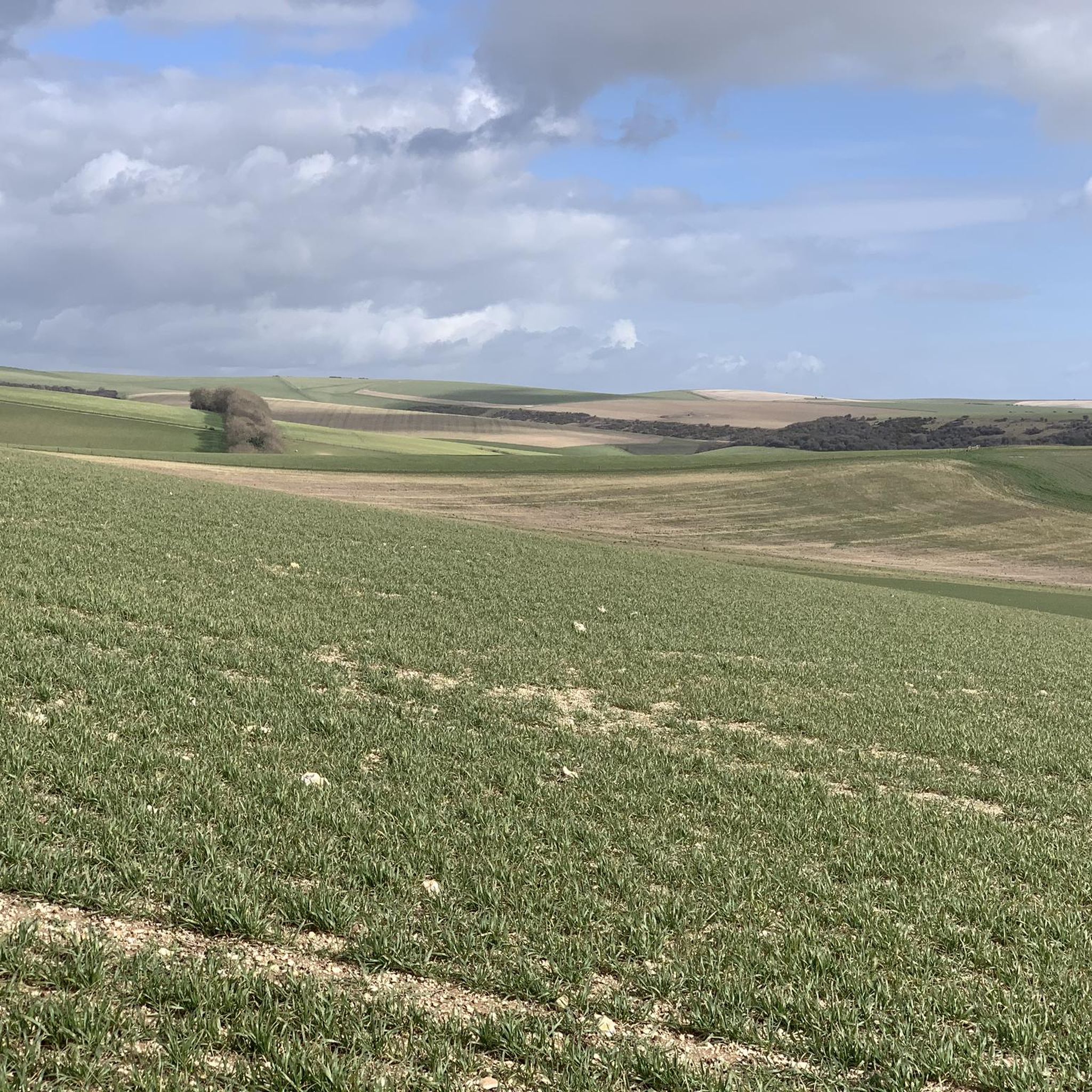
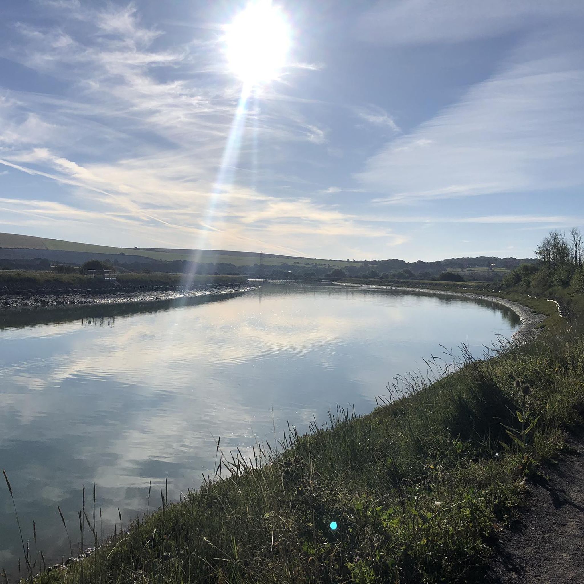
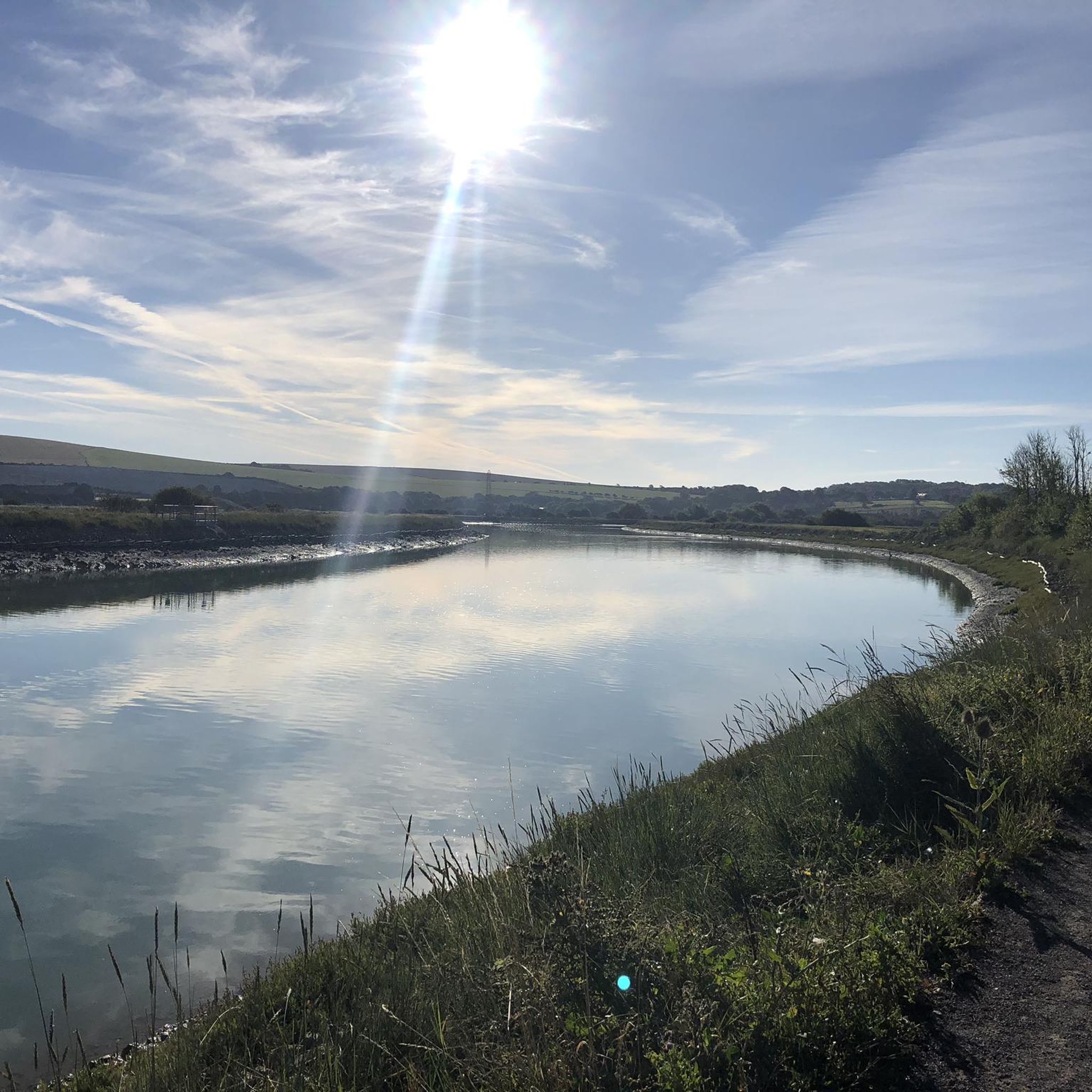
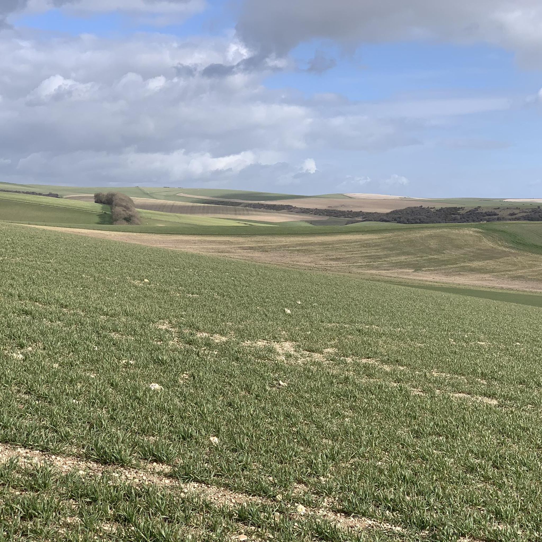
Hiking around Tarring Neville offers access to the diverse landscapes of the South Downs National Park, characterized by rolling chalk hills, ancient woodlands, and expansive grasslands. The region's southwestern border follows the River Ouse, providing opportunities for riverside walks. Proximity to the East Sussex coast also allows for exploration of dramatic chalk cliffs and coastal paths.
Best hiking trails around Tarring Neville
- The most popular hiking route is South Downs: Swanborough Hill and Lewes – Walks in England’s National Parks…
Last updated: July 1, 2026
4.4
(12)
61
hikers
Hard hike. Very good fitness required. Easily-accessible paths. Suitable for all skill levels.
4.3
(6)
19
hikers
9.16km
02:26
100m
100m
Moderate hike. Good fitness required. Easily-accessible paths. Suitable for all skill levels.

Sign up for free
4.9
(12)
156
hikers
19.0km
05:22
370m
370m
Hard hike. Very good fitness required. Easily-accessible paths. Suitable for all skill levels.
4.9
(9)
47
hikers
20.7km
05:17
70m
70m
Hard hike. Very good fitness required. Easily-accessible paths. Suitable for all skill levels.
5.0
(1)
18
hikers
Moderate hike. Good fitness required. Easily-accessible paths. Suitable for all skill levels.
Get access to more routes and recommendations from other explorers.
Sign up for free
Already have an account?
Our route recommendations are based on thousands of hikes, rides, and runs completed by other people on komoot.
Start today with a free account
Your next adventure awaits.
Login or Signup

Tips from the Community


Very stiff climb out of Kingston near Lewes - but great walking on the South Downs Way when you reach the top.
0
0
Fish and chips offer for two on a Friday.... all the Harvey's range, with Sussex Best on gravity pour. Dog friendly.
0
0


The Abergavenny Arms is just a 15 minute walk down the hill. It's a nice little 15th century pub serving good beer and food, with a beer garden and a well in the dining area
0
0
Frequently Asked Questions
How many hiking trails are available around Tarring Neville?
There are over 600 hiking routes around Tarring Neville, offering a wide variety of options for different skill levels and preferences. The area is highly rated by the komoot community, with an average score of 4.6 stars from more than 2300 reviews.
What types of terrain can I expect on hikes near Tarring Neville?
Hiking around Tarring Neville offers diverse terrain, from the iconic rolling chalk hills and expansive grasslands of the South Downs National Park to ancient woodlands. You can also find picturesque riverside paths along the River Ouse and dramatic coastal trails near the East Sussex coast, including the famous Seven Sisters cliffs.
Are there easy hiking routes suitable for beginners in Tarring Neville?
Yes, Tarring Neville offers plenty of options for beginners and those looking for easier strolls. There are over 270 easy routes available, many of which follow the gentler paths along the River Ouse valley or through the lower sections of the South Downs.
Can I find challenging long-distance hikes near Tarring Neville?
Absolutely. Tarring Neville is on the edge of the South Downs National Park, providing immediate access to challenging routes. Sections of the 100-mile South Downs Way are easily accessible, offering demanding climbs and extensive views. An example of a difficult route is South Downs: Swanborough Hill and Lewes, which covers nearly 20 km.
Are there family-friendly walks around Tarring Neville?
Many of the easier and moderate routes around Tarring Neville are suitable for families. These often feature relatively flat terrain, such as riverside paths, or shorter loops through scenic countryside. Look for routes with lower elevation gain and shorter distances for a pleasant family outing.
Are dogs allowed on the hiking trails near Tarring Neville?
Yes, dogs are generally welcome on most hiking trails around Tarring Neville and within the South Downs National Park. However, it's important to keep dogs under control, especially near livestock, and to follow the Countryside Code. Always carry bags to clean up after your dog.
Are there circular hiking routes available in Tarring Neville?
Yes, many routes around Tarring Neville are designed as circular walks, allowing you to start and end at the same point. A popular moderate option is the Telscombe village loop from Southease, which winds through rolling hills. For a more challenging loop with extensive views, consider the Firle Beacon summit – Bo Peep Hill Viewpoint loop from Southease.
What are some notable natural features or landmarks to see while hiking?
The area boasts several impressive natural features. You can hike to the Firle Beacon summit for panoramic views, or explore the scenic River Ouse valley. The nearby East Sussex coast also offers the dramatic Seven Sisters cliffs and Beachy Head. For specific points of interest, consider visiting Swanborough Hill or the Cliffe Hill Trig Point.
Are there any lakes or water features to explore near Tarring Neville?
Yes, the region features several beautiful water bodies. You can find the Oxbow Lake on the River Ouse, which offers picturesque riverside walks. Another notable spot is Arlington Reservoir, known for its tranquil waters and surrounding nature.
What is the best time of year to go hiking around Tarring Neville?
Spring and summer are popular for hiking around Tarring Neville, offering pleasant weather and vibrant landscapes, especially when wildflowers are in bloom. Autumn provides beautiful foliage, while winter can offer crisp, clear views, though some paths may be muddy. Always check local weather conditions before heading out.
Where can I find parking for hikes near Tarring Neville?
Parking is available at various points along the South Downs National Park and near popular trailheads. Villages like Southease, which serves as a starting point for several komoot tours, often have designated parking areas. It's advisable to check specific route details for recommended parking locations.
Can I reach hiking trails near Tarring Neville using public transport?
Yes, some hiking routes in the area are accessible via public transport. For instance, Southease has a train station on the Newhaven Valley Line, making it a convenient starting point for walks along the River Ouse and into the South Downs. Lewes, a larger town nearby, also offers good transport links.
Are there pubs or cafes near the hiking routes for refreshments?
Many hiking routes in the Tarring Neville area pass through or near charming villages like Alfriston, Lewes, and Rodmell. These villages often host traditional pubs and cafes where hikers can stop for refreshments, a meal, or a well-deserved break. It's a great way to experience local hospitality.
Most popular attractions around Tarring Neville

Get inspired with the komoot mobile app


Explore more
Browse the best Hikes in other regions.
