The best running trails in the Bilauktaung Range
38
runners
4
runs
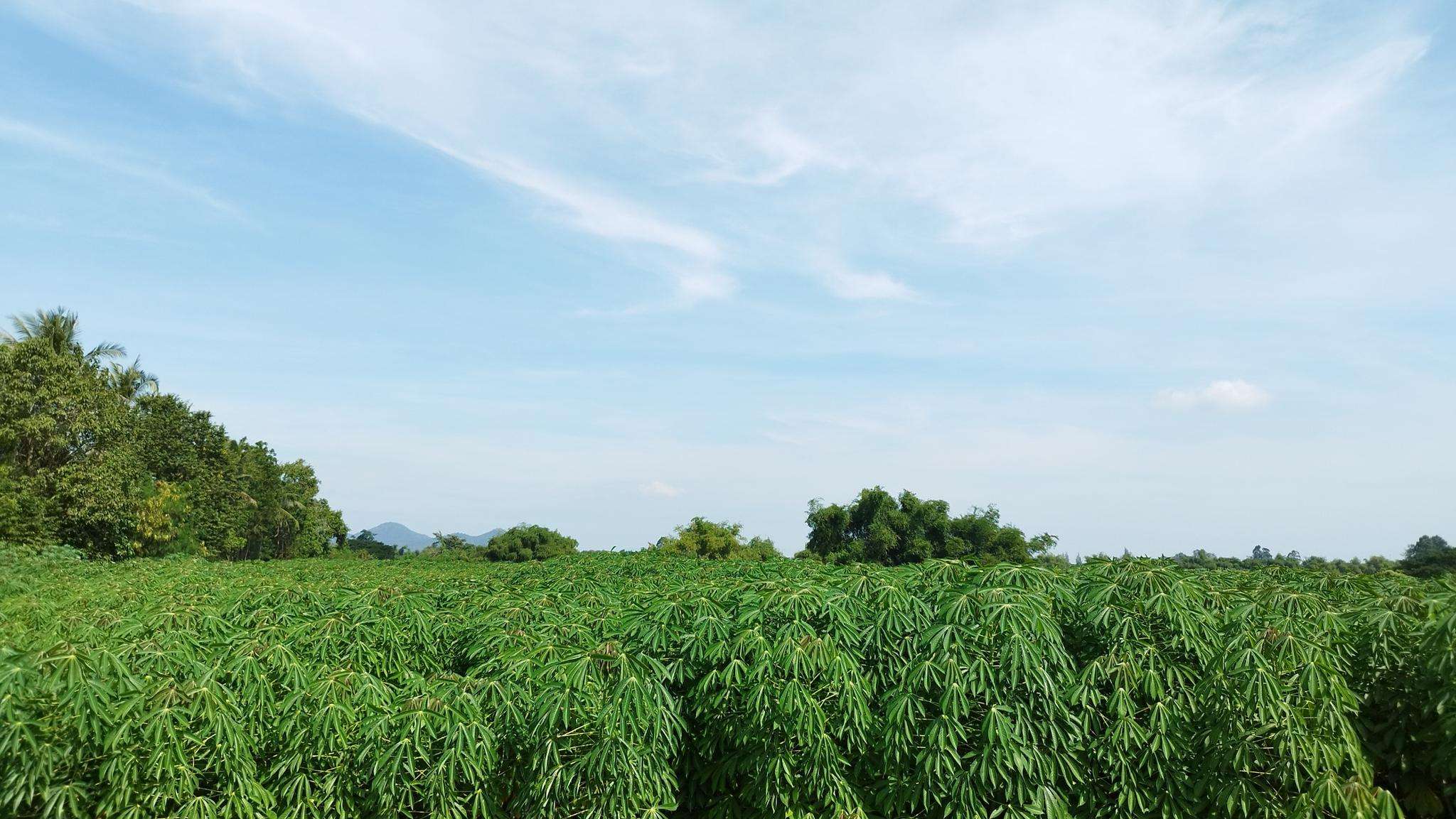
Jogging in the Bilauktaung Range offers a unique experience within a rugged mountainous landscape. This subrange of the Tenasserim Hills stretches approximately 250 miles (400 km) along the Myanmar-Thailand border. The region is characterized by significant peaks, including Myinmoletkat Taung at 2,072 meters (6,798 ft), and dense tropical rainforests, particularly on its western slopes. These features provide varied inclines and shaded trails, making it suitable for challenging runs and immersive natural experiences.
Best jogging routes in the Bilauktaung Range
- The…
Last updated: May 23, 2026
13
runners
8.90km
00:55
20m
20m
Moderate run. Good fitness required. Mostly paved surfaces. Suitable for all skill levels.
9
runners
Hard run. Very good fitness required. Mostly paved surfaces. Suitable for all skill levels.

Sign up for free
4
runners
Hard run. Very good fitness required. Mostly paved surfaces. Suitable for all skill levels.
Our route recommendations are based on thousands of hikes, rides, and runs completed by other people on komoot.
Start today with a free account
Your next adventure awaits.
Login or Signup
Popular around Bilauktaung Range
Frequently Asked Questions
How many running routes are available in the Bilauktaung Range?
Komoot features a selection of 4 running routes in the Bilauktaung Range. These include a moderate loop and several more challenging trails, catering to different fitness levels.
What kind of terrain can I expect on the running trails in the Bilauktaung Range?
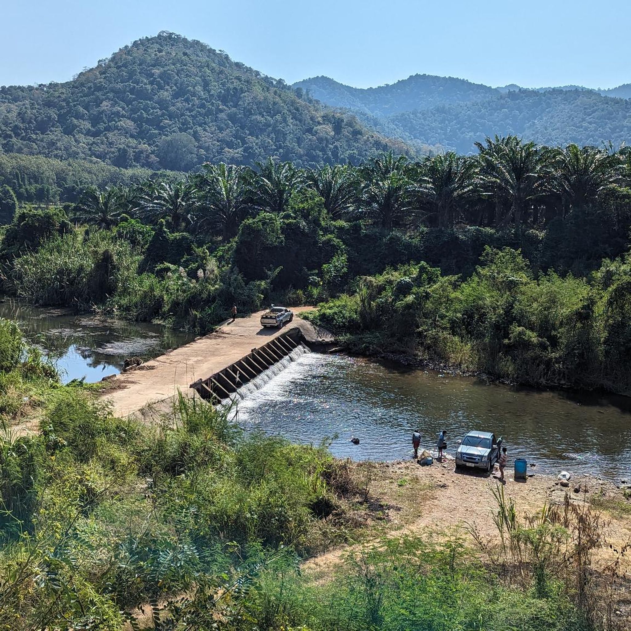
The Bilauktaung Range is characterized by mountainous and rugged terrain, with dense tropical rainforests. You can expect varied inclines, descents, and natural obstacles, making it ideal for challenging trail running and immersive natural experiences. The dense forest canopy also provides natural shade.
Are there any easy jogging routes in the Bilauktaung Range?
While the Bilauktaung Range is known for its rugged terrain, there is one moderate route suitable for a steady run: the สระมรกต loop from Muban Chombueng Rajabhat University. This 5.5-mile (8.9 km) trail features minimal elevation gain, making it more accessible.
What are the most challenging running trails in the Bilauktaung Range?
For experienced trail runners seeking a significant challenge, the Bilauktaung Range offers difficult routes with substantial elevation gain. One such route is the ยอดเขาแหลม loop from อุทยานธรรมชาติวิทยาตามพระราชดำริสมเด็จพระเทพรัตนราชสุดา ฯ สยามบรมราชกุมารี, a 17.0-mile (27.4 km) path with over 2000 meters of ascent. Another demanding option is the Running loop from อุทยานธรรมชาติวิทยาตามพระราชดำริสมเด็จพระเทพรัตนราชสุดา ฯ สยามบรมราชกุมารี, which is 7.3 miles (11.8 km) with considerable ascents.
What natural features or landmarks can I see while running in the Bilauktaung Range?
The Bilauktaung Range is rich in natural beauty. Along or near the running routes, you might encounter stunning natural features like the Pa La-U Waterfall Level 4 and the larger Pala U Waterfall. There's also the unique Kai Lon Cave Buddhist Shrine to explore.
Is the Bilauktaung Range suitable for family-friendly jogging?
Given the rugged and mountainous terrain, with many routes featuring significant elevation changes and dense rainforests, the Bilauktaung Range is generally more suited for experienced trail runners and hikers. Dedicated easy, flat paths for casual family jogging are limited. However, the moderate สระมรกต loop could be an option for families comfortable with some off-road walking or light jogging.
Can I bring my dog on the running routes in the Bilauktaung Range?
While specific regulations for dogs on trails within the Bilauktaung Range are not widely documented, it's always advisable to check local park rules or conservation area guidelines before bringing your dog. The rugged terrain and potential for wildlife encounters mean dogs should be well-behaved and kept on a leash for their safety and the preservation of the natural environment.
Are there circular running routes available?
Yes, all the featured running routes in the Bilauktaung Range are circular. This includes the moderate สระมรกต loop and the more challenging ยอดเขาแหลม loop and Running loop from อุทยานธรรมชาติวิทยาตามพระราชดำริสมเด็จพระเทพรัตนราชสุดา ฯ สยามบรมราชกุมารี, allowing you to start and finish at the same point.
What is the best time of year to go running in the Bilauktaung Range?
The Bilauktaung Range experiences heavy monsoon rains, particularly on its western slopes. The dense forest canopy can offer cooler temperatures compared to lowland areas. For more comfortable running conditions, it's generally best to visit during the drier seasons, avoiding the peak monsoon period when trails can become very muddy and challenging.
Where can I find refreshments or places to eat near the running routes?
While the Bilauktaung Range is sparsely inhabited and offers a sense of wilderness, you might find options for refreshments in nearby towns or at specific attractions. For example, the Monsoon Valley Vineyard is an interesting spot nearby that offers dining options.
Is there a chance to see wildlife while jogging?
The Bilauktaung Range is a biodiversity hotspot, home to diverse ecosystems and a wide array of flora and fauna, including various mammal species like Asian elephants, clouded leopards, and gibbons, as well as numerous bird species. While dedicated wildlife spotting often occurs in specific sanctuaries, running through the dense tropical rainforests offers a chance to experience this rich natural environment. Always maintain a respectful distance and do not disturb any wildlife you encounter.
Most popular attractions in the Bilauktaung Range

Get inspired with the komoot mobile app


Explore more
Browse the best Running Trails & Routes in other regions.
