The best road cycling routes around Clenchwarton
4.5
(51)
1,971
riders
177
rides
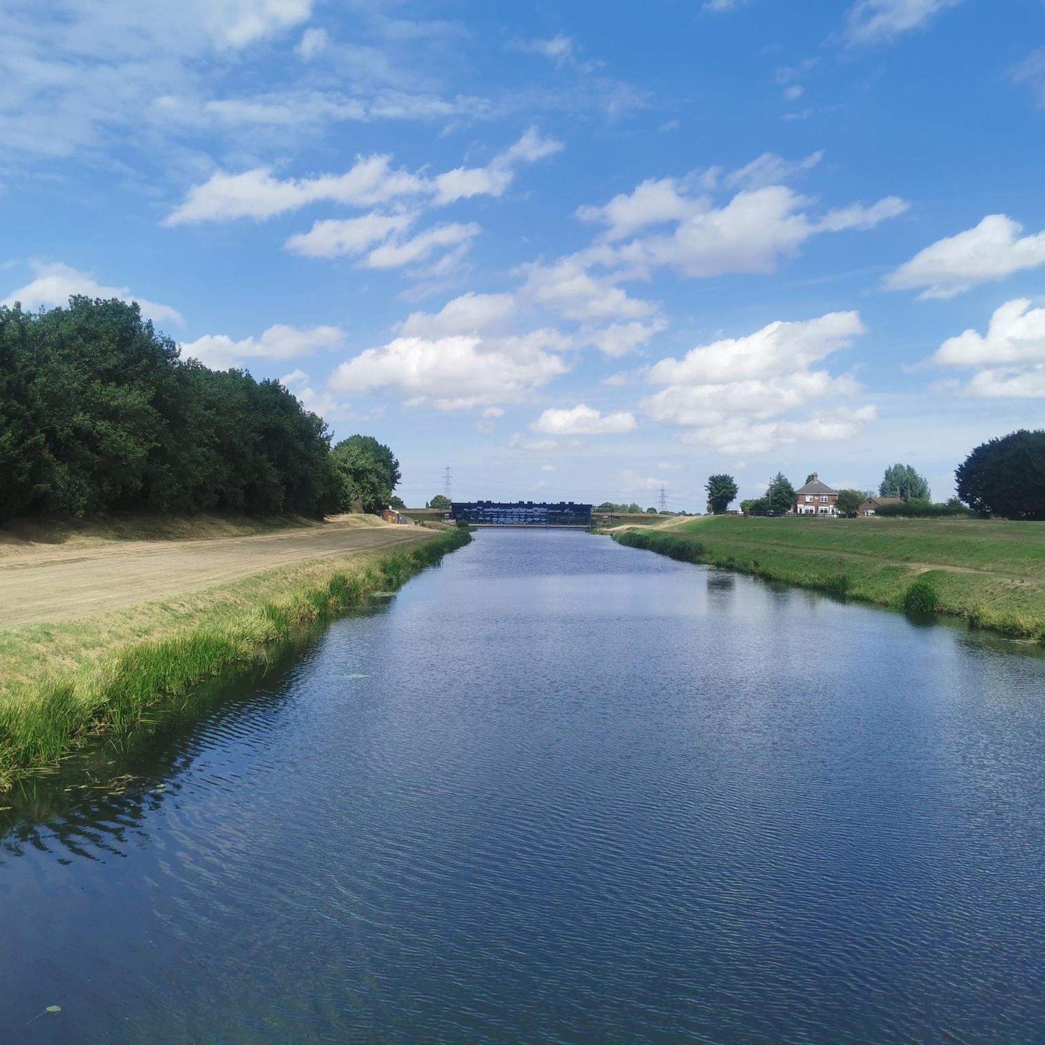
Road cycling routes around Clenchwarton are characterized by the flat plains of Norfolk, offering extensive views of agricultural land and open skies. The terrain is predominantly level, making it accessible for road cyclists of varying skill levels. The area is situated near the River Great Ouse, providing scenic riverbank paths, and offers proximity to The Wash with its unique estuarial landscapes. This region provides a network of quiet country lanes and established cycling paths.
Best road cycling routes around Clenchwarton
…Last updated: July 11, 2026
4.6
(5)
69
riders
60.5km
03:05
380m
380m
Moderate road ride. Good fitness required. Mostly well-paved surfaces and easy to ride.
15
riders
80.3km
03:46
370m
370m
Moderate road ride. Good fitness required. Mostly well-paved surfaces and easy to ride.

Sign up for free
4
riders
61.3km
02:33
90m
90m
Moderate road ride. Good fitness required. Mostly well-paved surfaces and easy to ride.
5.0
(2)
54
riders
48.3km
01:55
100m
100m
Easy road ride. Great for any fitness level. Mostly well-paved surfaces and easy to ride.
43
riders
50.6km
02:00
60m
60m
Moderate road ride. Good fitness required. Mostly well-paved surfaces and easy to ride.
Get access to more routes and recommendations from other explorers.
Sign up for free
Already have an account?
Our route recommendations are based on thousands of hikes, rides, and runs completed by other people on komoot.
Start today with a free account
Your next adventure awaits.
Login or Signup
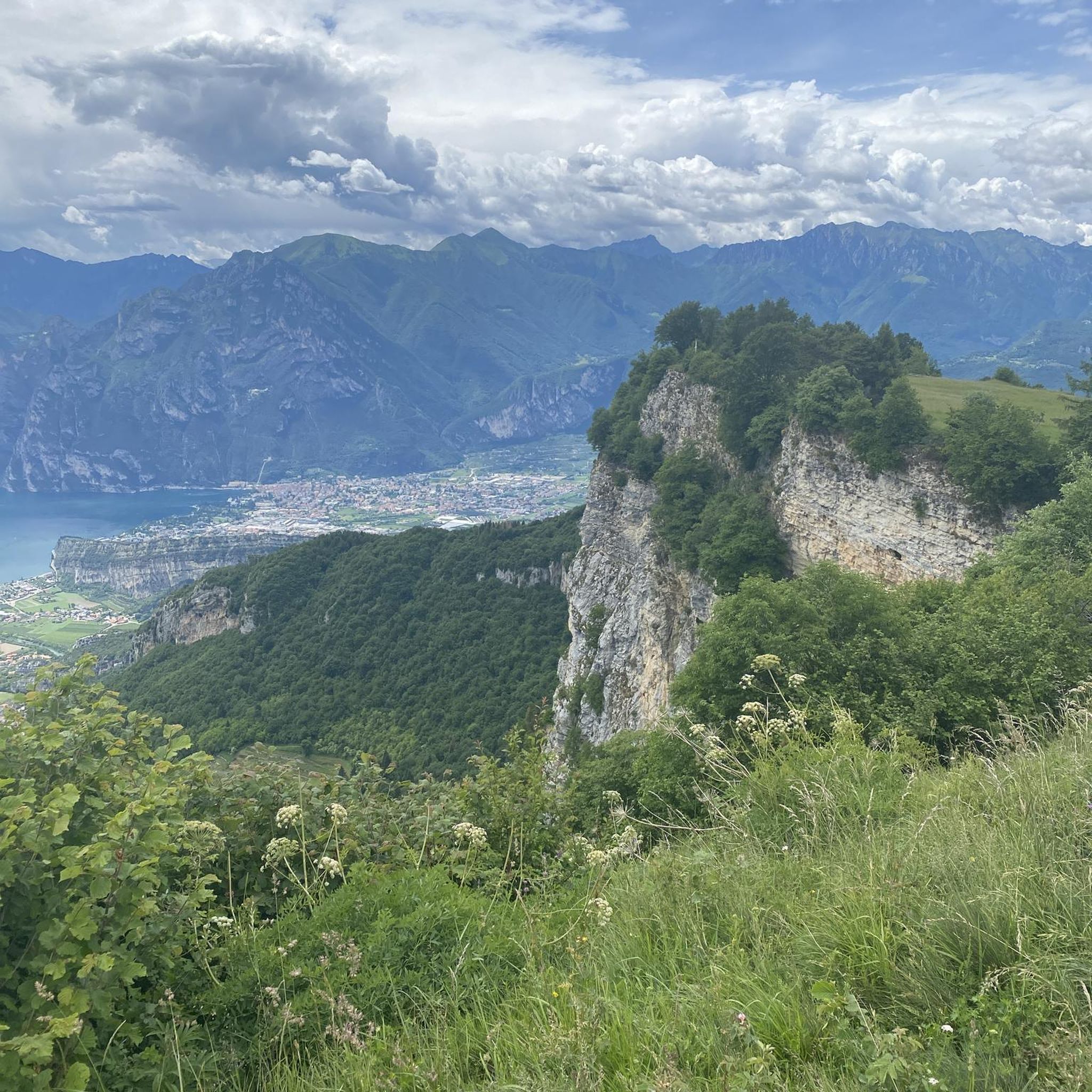

Tips from the Community

Graet views of the setting sun especially from the Golden LIon hotel bar on top of the cliff.
0
0

Great fuel stop. The Coffee and Walnut cake is AMAZING.
0
0

Large beer garden at the front overlooking the green, including a covered area.
0
0

Easy riding on cycle way but windy
0
0

What a treat, the only way to to get into the city IMHO :-)
0
0
Fairly large but otherwise undistinguished parish church.
0
0

Museum of Lynn, the Town Jewels and a gaol bit, good to go upstairs to see the Guild halls
0
0
Frequently Asked Questions
What is the general terrain like for road cycling around Clenchwarton?
The terrain around Clenchwarton is predominantly flat, characterized by the expansive plains of Norfolk. This makes it ideal for road cyclists of varying skill levels, offering extensive views of agricultural land and open skies without significant elevation changes. You'll find a network of quiet country lanes and established cycling paths.
How many road cycling routes are available in the Clenchwarton area?
There are over 180 road cycling routes available around Clenchwarton, catering to a wide range of abilities. The komoot community has rated these routes highly, with an average score of 4.6 stars, and over 2,000 road cyclists have used komoot to explore the area.
Are there any easy road cycling routes suitable for beginners or families?
Yes, Clenchwarton offers a good selection of easy routes. Approximately one-third of the routes (over 60) are classified as easy, making them suitable for beginners or families looking for a relaxed ride. These routes often follow scenic riverbank paths along the River Great Ouse or quiet country lanes.
What are some notable landmarks or attractions I can see while cycling near Clenchwarton?
Many routes pass by significant historical and natural attractions. You could cycle past the impressive 12th-century Castle Rising Castle, explore the grounds of the Sandringham Estate, or visit the historic market town of King's Lynn, home to the stunning King's Lynn Minster and Greyfriars Tower. The Dersingham Bog, part of the Sandringham Estate, also offers beautiful natural scenery.
Are there any long-distance or challenging road cycling routes in the area?
For those seeking longer distances, the area offers several options. The Rebellion Way is a 37.6-mile (60.5 km) route that forms part of a longer bikepacking trail, offering varied terrain. Another popular moderate route is the Sandringham to Castle Acre loop from Kings Lynn, which spans nearly 50 miles (80.3 km) and takes you through the Sandringham Estate and historic Castle Acre.
What natural features can I expect to see along the cycling routes?
You'll encounter diverse natural scenery, including the flat agricultural plains of Norfolk with their expansive open skies. Many routes follow the tranquil River Great Ouse, offering scenic riverbank views. Proximity to The Wash provides glimpses of its unique estuarial landscapes, saline lagoons, and mudflats, which are home to diverse birdlife. The wider West Norfolk area also features woodlands and varied countryside.
What is the best time of year for road cycling around Clenchwarton?
The flat terrain makes Clenchwarton enjoyable for road cycling throughout much of the year. Spring and summer offer pleasant weather for exploring the open landscapes and river paths. Autumn provides beautiful scenery with changing foliage, while winter cycling is possible, though you should be prepared for potentially colder and wetter conditions typical of the Norfolk region.
Where can I find parking for my bike when cycling in Clenchwarton or nearby King's Lynn?
While specific dedicated bike parking facilities for every route start point are not detailed, King's Lynn, being a larger town just 4 miles from Clenchwarton, offers various public parking options. Many cafes and pubs along popular routes may also have space for bikes, especially in rural areas. It's always advisable to use a secure lock.
Can I reach Clenchwarton or nearby cycling routes using public transport with my bike?
King's Lynn serves as a key transport hub near Clenchwarton, with train services connecting to other major towns. Policies for carrying bikes on public transport vary, so it's recommended to check with specific train operators or bus services regarding their bike carriage rules and any peak hour restrictions before planning your journey.
Are there any circular road cycling routes available?
Yes, many of the routes around Clenchwarton are designed as loops, allowing you to start and finish in the same location. Examples include the Sandringham to Castle Acre loop from Kings Lynn and the King's Lynn to Wisbech loop, which are popular choices for their scenic and manageable distances.
What do other road cyclists enjoy most about cycling in Clenchwarton?
The area is highly rated by the komoot community, with an average score of 4.6 stars. Reviewers often praise the flat, accessible terrain, which makes for enjoyable rides without strenuous climbs, as well as the extensive views of the Norfolk countryside and the peacefulness of the quiet country lanes. The variety of routes, from easy spins to longer distances, is also frequently highlighted.
Are there places to stop for refreshments like cafes or pubs along the routes?
Yes, many routes, especially those passing through or near villages and towns like King's Lynn, will offer opportunities for refreshment stops. King's Lynn itself has numerous cafes, restaurants, and pubs. When planning your ride, you can often check komoot route details or local maps for establishments along your chosen path.
What is the typical elevation gain on road cycling routes in Clenchwarton?
Due to the predominantly flat landscape of Norfolk, elevation gains on road cycling routes around Clenchwarton are generally minimal. For example, the King's Lynn to Wisbech loop, a 38.1-mile route, has an elevation gain of only about 93 meters, making for a very gentle ride. Even longer routes like the Rebellion Way, at 37.6 miles, feature around 380 meters of elevation, which is still considered moderate over that distance.
Most popular routes around Clenchwarton
Most popular attractions around Clenchwarton

Get inspired with the komoot mobile app


Explore more
Browse the best Road cycling routes in other regions.
