The best road cycling routes around Sunk Island
4.5
(53)
3,457
riders
259
rides
Road cycling routes around Sunk Island traverse a unique, exceptionally flat reclaimed landmass in the East Riding of Yorkshire. The region is characterized by quiet country lanes, vast agricultural fields, and a network of drainage dykes. Its topography, with no point more than four meters above sea level, provides a consistent, low-gradient riding experience. The area offers expansive views of the Humber Estuary and its surrounding natural features.
Best road cycling routes around Sunk Island
- The most popular road cycling…
Last updated: July 2, 2026
5.0
(1)
43
riders
111km
04:55
290m
290m
Moderate road ride. Good fitness required. Mostly well-paved surfaces and easy to ride.
16
riders
32.4km
01:20
50m
50m
Easy road ride. Great for any fitness level. Mostly well-paved surfaces and easy to ride.

Sign up for free
5.0
(1)
18
riders
80.1km
03:36
170m
170m
Moderate road ride. Good fitness required. Mostly well-paved surfaces and easy to ride.
12
riders
35.6km
01:28
80m
70m
Easy road ride. Great for any fitness level. Mostly well-paved surfaces and easy to ride.
12
riders
52.6km
02:26
80m
80m
Moderate road ride. Good fitness required. Mostly well-paved surfaces and easy to ride.
Get access to more routes and recommendations from other explorers.
Sign up for free
Already have an account?
Our route recommendations are based on thousands of hikes, rides, and runs completed by other people on komoot.
Start today with a free account
Your next adventure awaits.
Login or Signup
Tips from the Community


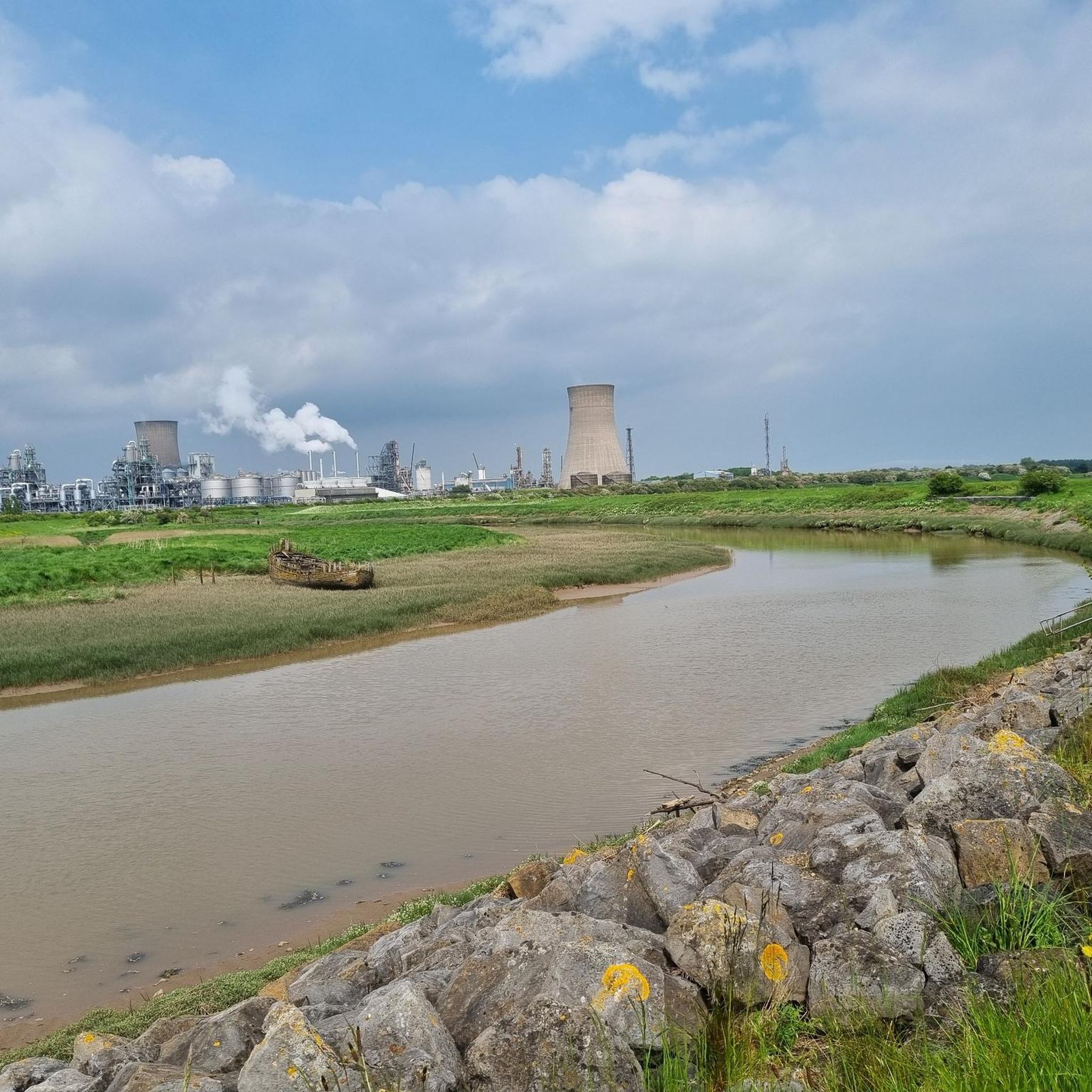
Park in nature reserve car park and walk down the road before turning into a field on the right hand side. Best to add into a walk around the Paull Reserve
0
0


Bags of parking. The grassy verge gets chock-a-block even in winter.
2
0

Cafe with vegan options. Pay for the car park at the cafe as the machine at the car park does not work. You can also try to park for free further down the road on the grassy verge.
1
0

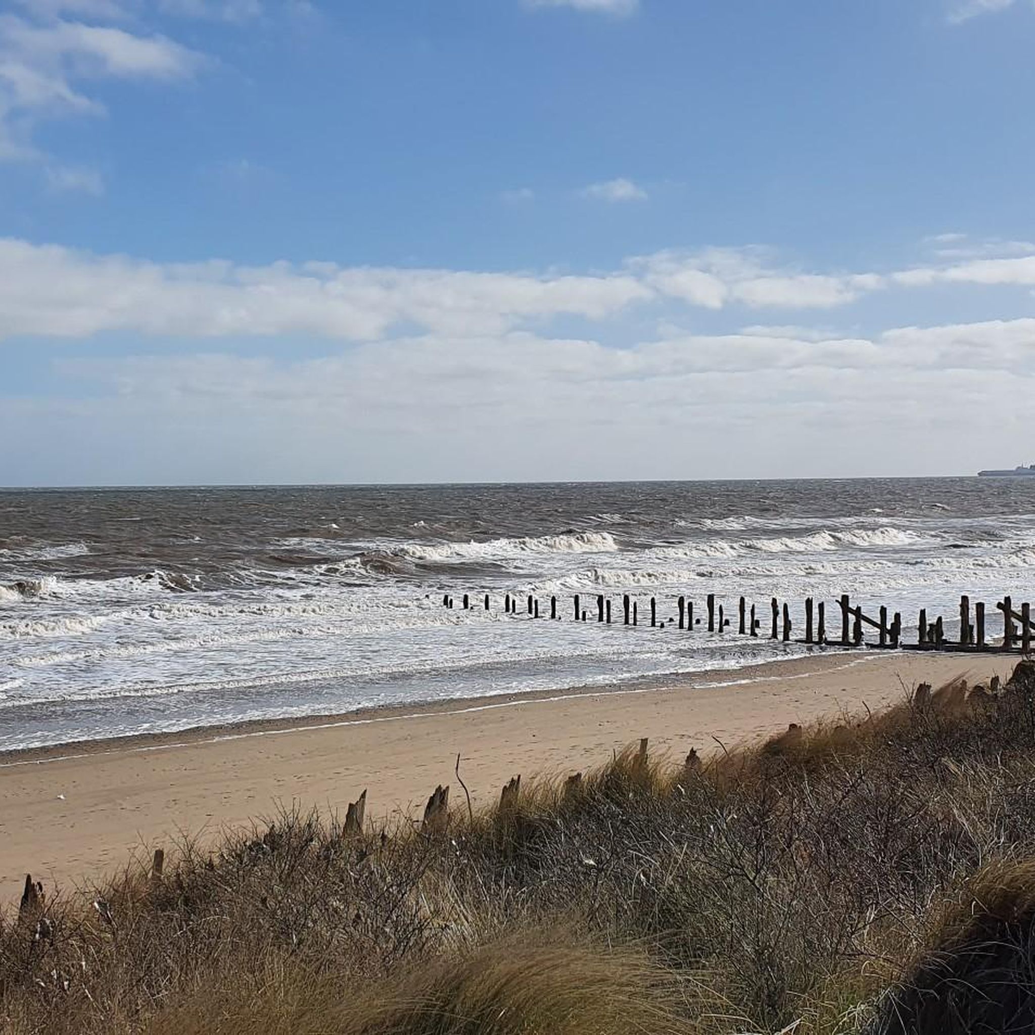
From here you can enjoy a beautiful view of the calm waters. Not far away is the beach of the same name which has been a hotspot for unexploded RAF bombs, which fell from the rapidly eroding cliffs.
0
0

Just be respectful of caravan residents and farm animals especially in spring when there's an abundance of sheep either lambing or caring for there young
1
0

A sculpture of four of the plotters, including Guy Fawkes, erected to mark the defeat of the Gunpowder Plot in 1605, commemorating East Yorkshire's links to the Gunpowder Plot. Two of the conspirators, brothers John (Jack) and Christopher (Kit) Wright, were born in the village.
0
0
Frequently Asked Questions
What is the typical terrain like for road cycling in Sunk Island?
Sunk Island is exceptionally flat, with no point more than four meters above sea level. This 'pancake-flat' landscape means you'll experience easy riding without significant climbs, making it suitable for cyclists of all fitness levels. The roads are largely quiet country lanes, often paved, providing a smooth and serene cycling environment through vast agricultural fields.
How many road cycling routes are available in Sunk Island?
There are over 280 road cycling routes available in Sunk Island on komoot. These routes offer a variety of distances and experiences, catering to different preferences.
What is the difficulty level of road cycling routes in Sunk Island?
The majority of road cycling routes in Sunk Island are rated as easy or moderate, with 77 easy routes and 194 moderate routes. There are also 15 more challenging routes for those seeking a longer or more demanding ride, though the overall elevation gain remains minimal due to the flat terrain.
What natural features can I expect to see while cycling in Sunk Island?
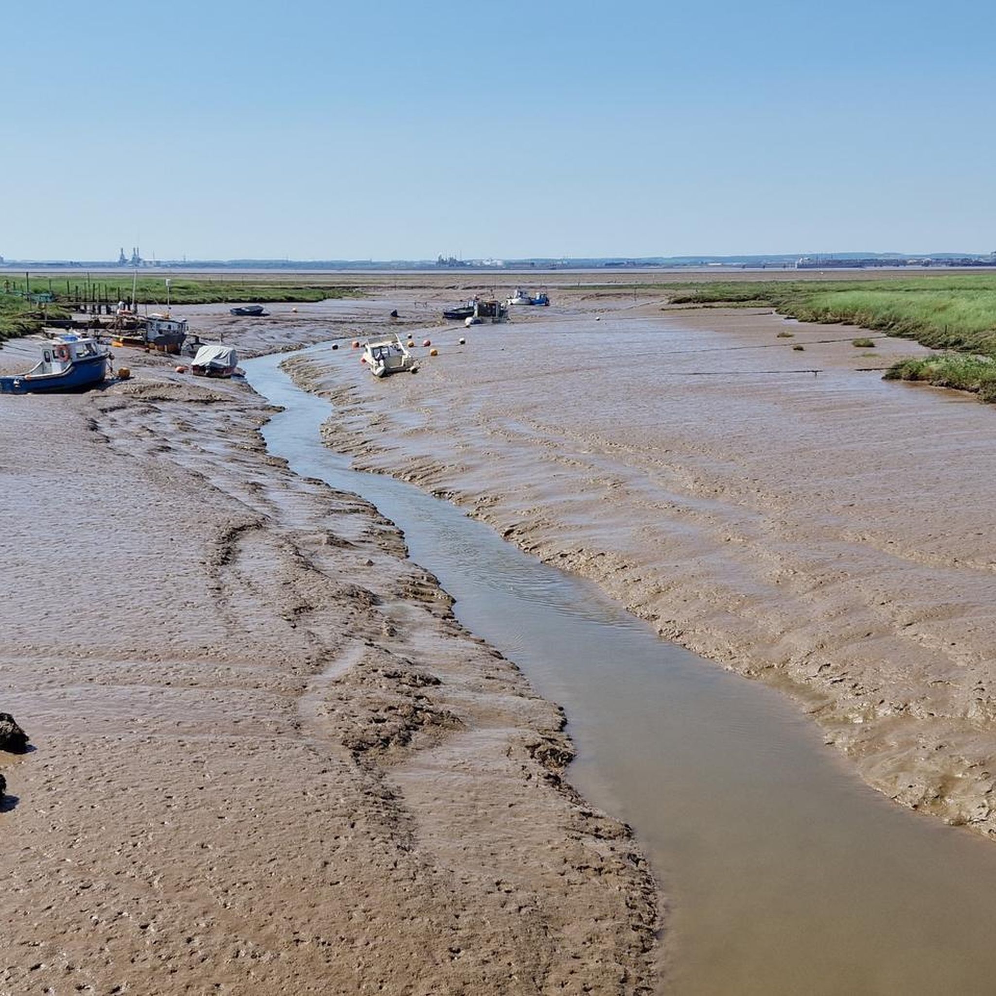
While cycling, you'll encounter a distinctive 'Dutch-style landscape' of rich agricultural land and deep drainage dykes. The area offers vast, uninterrupted skies and impressive views, especially at sunrise and sunset. The proximity to the Humber Estuary provides excellent views overlooking the saltmarshes from courtesy paths along the embankment, such as near Stone Creek.
Are there any specific landmarks or points of interest along the cycling routes?
Yes, while primarily natural, there are a few points of interest. You might pass by the Spurn Lighthouse or the Greenwich Meridian Line Monument in Cleethorpes. The area also features historical sites like the Holy Trinity Church, which now serves as a heritage center, and the forlorn remains of the Sunk Island Battery, a World War I gun emplacement.
Can I combine birdwatching with road cycling in Sunk Island?
Absolutely. Sunk Island is a 'birders' and naturalists' paradise' due to its estuarine environment. The mosaic of marsh, reed beds, and damp drainage channels supports diverse wildlife, including wading birds, ducks, geese, and terns. You can enjoy birdwatching from various points, particularly along the Humber Estuary, while cycling the quiet country lanes.
Is Sunk Island suitable for family-friendly road cycling?
Yes, Sunk Island's exceptionally flat terrain and quiet country lanes make it ideal for family-friendly road cycling. The absence of significant climbs allows for relaxed rides, and the low traffic provides a safe environment for cyclists of all ages and abilities.
Are there options for parking when road cycling in Sunk Island?
While dedicated cyclist parking facilities are not widely advertised, the quiet nature of Sunk Island and its surrounding villages often means you can find public parking in areas like Keyingham or Patrington, which serve as common starting points for routes. Always check local signage for specific parking regulations.
What is the best time of year to go road cycling in Sunk Island?
The best time to road cycle in Sunk Island is generally during the spring, summer, and early autumn months when the weather is milder and daylight hours are longer. These seasons offer the most pleasant conditions for enjoying the open landscapes and estuary views.
What are the weather considerations for road cycling in Sunk Island?
Given its flat and open landscape, Sunk Island can be exposed to wind, especially from the Humber Estuary. Cyclists should be prepared for potential headwinds or crosswinds. While the area is remarkably flat, it's wise to check weather forecasts for rain, as the agricultural roads can become muddy or slippery in wet conditions.
Are there any cafes or pubs suitable for cyclists in the Sunk Island area?
While Sunk Island itself is quite remote, surrounding villages like Patrington and Keyingham offer options for cafes and pubs where cyclists can stop for refreshments. These villages are common starting or ending points for many routes and provide opportunities for a break.
What do other cyclists say about road cycling in Sunk Island?
The road cycling routes in Sunk Island are highly rated by the komoot community, with an average score of 4.4 stars from over 57 reviews. Cyclists often praise the tranquility of the quiet country lanes, the expansive views of the flat agricultural landscape, and the unique experience of cycling through reclaimed land.
Are there any circular road cycling routes in Sunk Island?
Yes, many of the routes in Sunk Island are designed as loops, allowing you to start and end in the same location. For example, the View of the Humber Estuary – Cherry Cob Sands Road loop from Keyingham is a popular circular option, offering estuary views and flat agricultural landscapes.
Most popular routes around Sunk Island
Most popular attractions around Sunk Island

Get inspired with the komoot mobile app


Explore more
Browse the best Road cycling routes in other regions.
