The best road cycling routes around Postwick With Witton
4.6
(473)
11,365
riders
623
rides
Road cycling routes around Postwick With Witton traverse a predominantly rural landscape characterized by arable farming and open fields. The area provides access to the unique waterside scenery of the Broads Authority area, offering mostly flat terrain ideal for road cycling. Cyclists can expect routes that connect villages and offer views of the surrounding countryside. The region's topography is generally low-lying, with gentle undulations rather than significant climbs.
Best road cycling routes around Postwick With Witton
- The most popular road…
Last updated: July 2, 2026
5.0
(1)
38
riders
41.3km
01:45
170m
170m
Easy road ride. Great for any fitness level. Mostly well-paved surfaces and easy to ride.
26
riders
44.9km
01:53
180m
180m
Easy road ride. Great for any fitness level. Mostly well-paved surfaces and easy to ride.

Sign up for free
5.0
(9)
21
riders
32.9km
01:24
190m
190m
Moderate road ride. Great for any fitness level. Some segments of this route may be unpaved and difficult to ride.
5.0
(2)
17
riders
Easy road ride. Great for any fitness level. Mostly well-paved surfaces and easy to ride.
4.0
(1)
12
riders
30.2km
01:24
150m
150m
Moderate road ride. Great for any fitness level. Some segments of this route may be unpaved and difficult to ride.
Get access to more routes and recommendations from other explorers.
Sign up for free
Already have an account?
Our route recommendations are based on thousands of hikes, rides, and runs completed by other people on komoot.
Start today with a free account
Your next adventure awaits.
Login or Signup
Tips from the Community

Coltishall Station is one of the narrow gauge stations on the Bure Valley Railway line. It's also an access point for the nine mile (14.5 km) Bure Valley Path.
0
0
Known by the Romans as "the market of the Iceni" (Venta Icenorum) this was one of the strongholds of the Iceni Tribe. It was the centre of the revolt led by Queen Boudicca against the Roman invasion in AD 60/61. Today the site is one of three major British/Roman towns which has not been built on. Roman embankments and fortifications can be seen today.
0
0

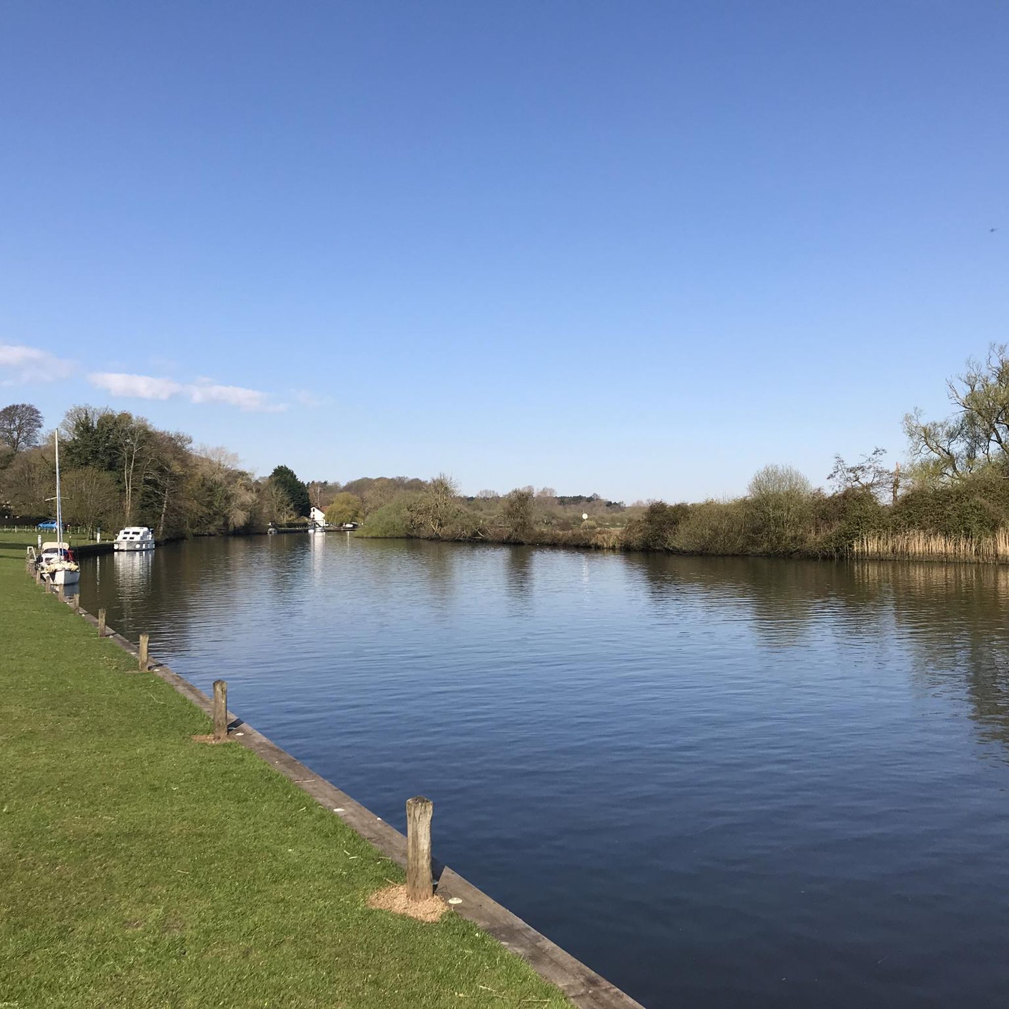
Using the power of moving water to drive a mill wheel is an ancient invention of the human spirit of discovery, the origins of which can be traced back to times long past. Thanks to such a construction, a watercourse - natural or artificial - could simply replace human or animal muscle power with the power of the natural elements, for example to grind grain into corn or to press oil from fruit. There are essentially two different ways of driving watermills: * Either the flowing water simply hits the blades of the water wheel from below to set it in motion; or * the water is guided - usually through a so-called "mill channel" - above the wheel and falls onto the blades; this type of construction is more efficient due to natural gravity.
1
0

One of the major stations and exits to towns along the Bure Valley path, with the paths along this stretch being compacted gravel
0
0
Short route for an acoustic and emtb hardtail to tryout bags. Start anywhere in the thorpe area on the way to woodbastwick Fur and feathers pub for a beer. Mainly cycle ways with farm double track between Honeycombe and salhouse road. Rode down to the Salhouse Broad and back.
0
0

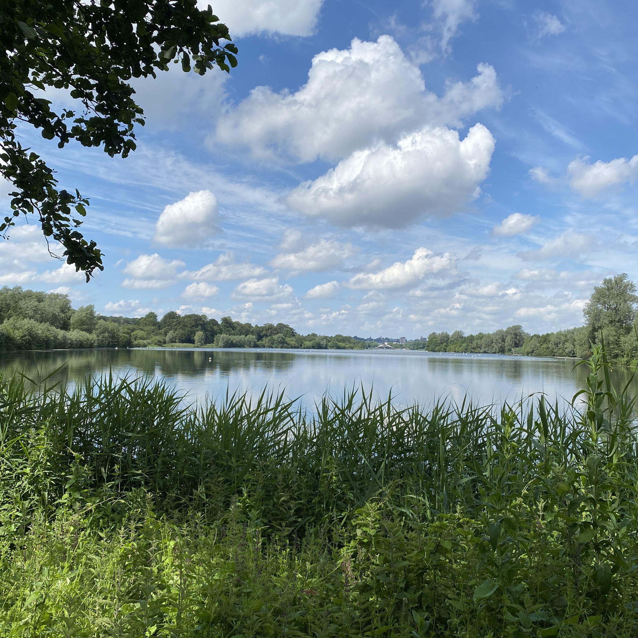
Little dip down through the woods between Ranworth Broad and South Walsham Broad.
1
0

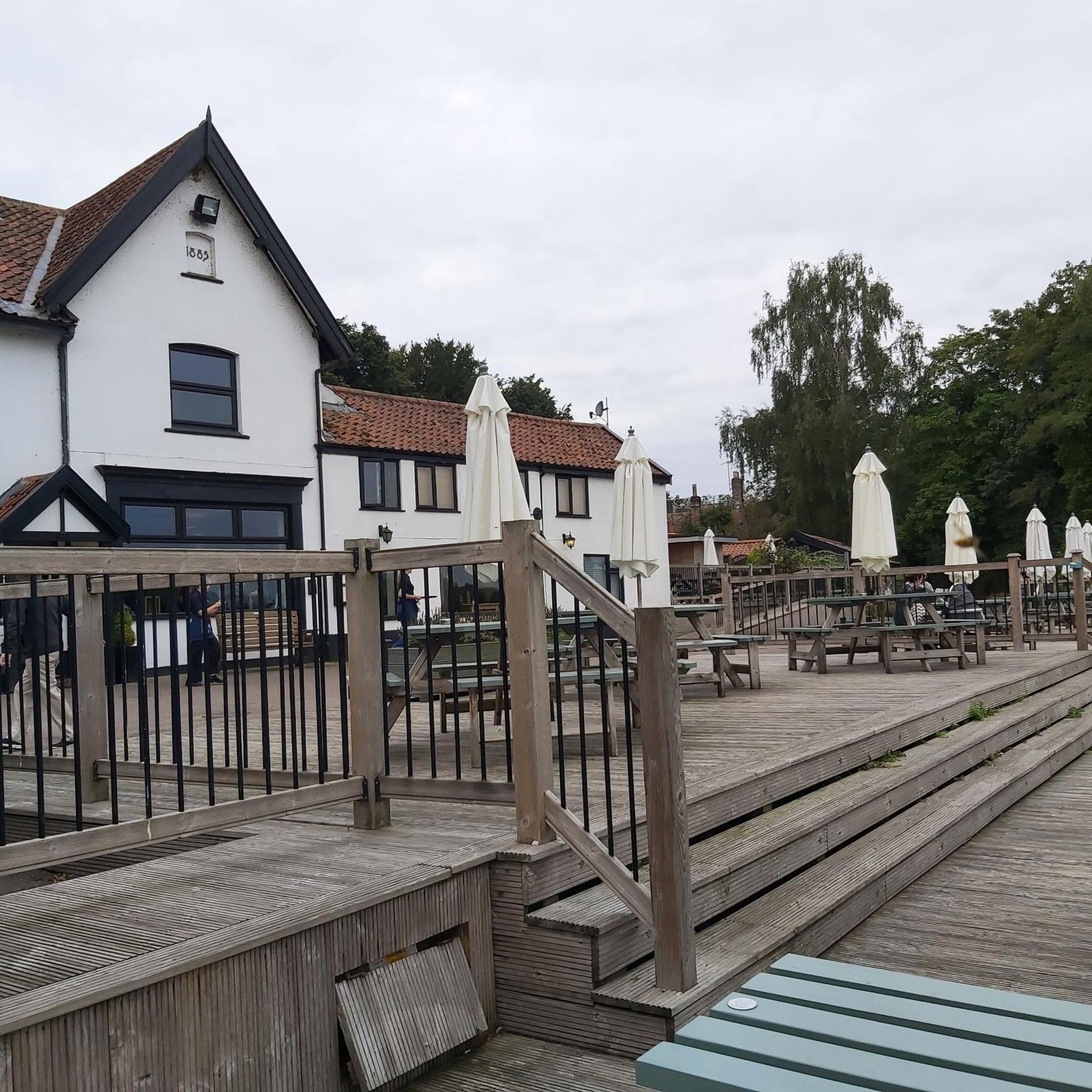
The Rising Sun is a lovely riverside pub in Coltishall, which does excellent food, including wood fired Neapolitan pizzas. It also offers bed and breakfast accommodation, offering a pleasant basecamp from which to explore the wider Broads.
1
0
An excellent, award-winning pub, the Recruiting Sergeant is a great shout for that post hike refuel and it has rooms for the night too. The building is Grade-II listed and dates back to the 18th century. There's plenty to explore in the surrounding area, with paths along the River Bure and the wider Broads National Park just a short hop away.
0
0
Frequently Asked Questions
What kind of terrain can I expect on road cycling routes around Postwick With Witton?
The region around Postwick With Witton is predominantly rural and low-lying, characterized by arable farming and open fields. You'll find mostly flat terrain with gentle undulations rather than significant climbs, making it ideal for road cycling. Routes often traverse well-paved surfaces, though some segments might be unpaved or more challenging, offering variety for different riders.
Are there many road cycling routes available in the Postwick With Witton area?
Yes, komoot offers a wide selection of road cycling routes around Postwick With Witton, with over 640 routes available. This includes 207 easy routes, 424 moderate routes, and 9 more challenging options, catering to various fitness levels and preferences.
What natural features or landmarks can I see along the road cycling routes?
Many routes offer views of the unique waterside scenery of the Broads Authority area. You can also explore highlights such as Upton Dyke, the River Bure and Drainage Mills, or the View of Caistor St Edmund Chalk Pit. For lake views, consider routes passing by Whitlingham Great Broad or the Ranworth Broad Village and Waterfront.
Are there any easy road cycling routes suitable for beginners or families?
Yes, Postwick With Witton offers over 200 easy road cycling routes. An excellent option for a pleasant ride is the Wroxham Bridge – The Rising Sun Pub, Coltishall loop from Great and Little Plumstead, which is 25.6 miles (41.2 km) long and connects to local landmarks. Another easy route is the Venta Icenorum Roman Town loop from Surlingham, covering 35.5 km.
Where can I find parking for cyclists in Postwick With Witton?
While specific dedicated cyclist parking isn't detailed, the area benefits from local initiatives to enhance cycling infrastructure. Many routes start from villages or areas with general public parking. The Broadland Business Park is also mentioned as a starting point for rides, which typically offers parking facilities. It's advisable to check parking availability at your chosen starting point.
What is the best time of year to go road cycling in Postwick With Witton?
The predominantly flat terrain makes road cycling enjoyable for much of the year. Spring and summer offer pleasant weather for exploring the rural landscapes and waterside scenery of the Broads. Autumn can also be beautiful with changing foliage. Winter cycling is possible, but conditions may vary, so checking local weather forecasts is recommended.
Can I access road cycling routes using public transport?
There are ongoing efforts to improve connectivity via public transport. Greater Anglia has funded studies to enhance routes connecting Postwick With Witton with destinations like Brundall Gardens train station, which can provide access to other areas and services. The Saxlingham Nethergate Village – Norwich Cathedral loop from Brundall Gardens is an example of a route accessible from a train station.
Are there cafes or pubs along the road cycling routes for a stop?
Yes, the region is known for having amenities like cafes and pubs near popular starting points for rides. For instance, the Wroxham Bridge – The Rising Sun Pub, Coltishall loop includes a pub in its name, indicating a potential stop. The Broadland Business Park, a common starting point, also has cafes.
What do other road cyclists say about the routes in Postwick With Witton?
The road cycling routes in Postwick With Witton are highly regarded by the komoot community, holding an average rating of 4.6 stars from over 370 reviews. More than 12,000 road cyclists have used komoot to explore the varied terrain, often praising the tranquil rural settings and access to the unique Broads environment.
Are there any circular road cycling routes in the area?
Yes, many of the road cycling routes around Postwick With Witton are designed as loops, offering circular journeys. Examples include the Scooters Cafe loop from Thorpe St Andrew and the Roadbike loop from Thorpe St Andrew, allowing you to start and finish at the same point.
Most popular routes around Postwick With Witton
Most popular attractions around Postwick With Witton

Get inspired with the komoot mobile app


Explore more
Browse the best Road cycling routes in other regions.
